Geography and character
Vietnam stretches roughly 1,650 kilometres from its northern border with China to its southern tip near the Gulf of Thailand, yet at its narrowest point — in what is now Quảng Bình province — the country is under 50 kilometres wide. It shares land borders with China to the north, Laos to the west and Cambodia to the south-west.
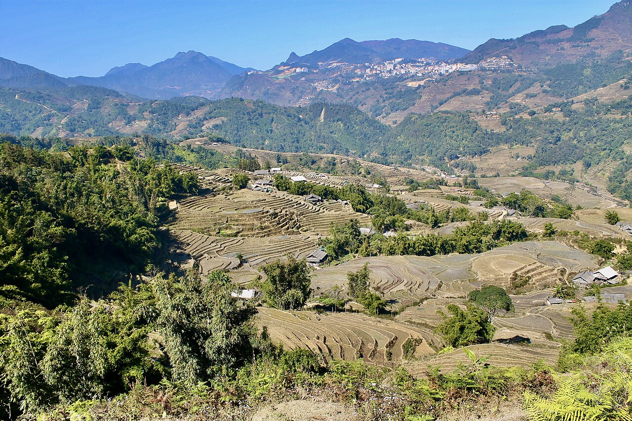
The country divides broadly into three regions: the northern highlands and Red River Delta centred on Hanoi; the long central coast with its former imperial capital Huế and the UNESCO-listed trading port of Hội An; and the flat, river-threaded south dominated by Ho Chi Minh City and the Mekong Delta. Each region has its own culinary traditions, accent and pace of life. The northern highlands include the Hoàng Liên Sơn range, where Fansipan — at 3,147 metres Vietnam's highest peak — rises above the town of Sapa.
Vietnam's coastline runs to over 3,000 kilometres and includes major island groups: Phú Quốc in the Gulf of Thailand, and the Côn Đảo archipelago off the southern coast.
Administration
On 1 July 2025 Vietnam reorganised its administrative structure significantly. The previous system of 63 provincial-level units was consolidated into 34 provinces and municipalities. At the same time, the district tier was abolished entirely. Vietnam now operates on a two-tier system: provinces (and centrally administered municipalities) at the top, and communes directly below them.
The five centrally administered municipalities — Hanoi, Ho Chi Minh City, Đà Nẵng, Hải Phòng and Cần Thơ — retain that status within the new structure. Many formerly separate provinces have been merged; for example, Hà Nam, Nam Định and Ninh Bình now form a single province. The places themselves — towns, landmarks, roads, rivers — have not moved or been renamed as a result of the merger. Sapa is still Sapa; the Ha Giang Loop is still the Ha Giang Loop.
Anyone consulting older maps, guidebooks or government documents will encounter the former 63-province structure and references to districts (huyện, quận) as administrative units. These no longer exist in that role.
Climate and when to visit
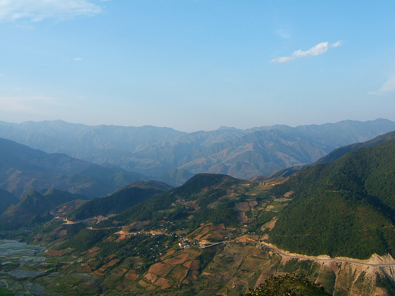
Vietnam's length means there is no single national weather pattern. The north has four seasons; winters in Hanoi can be cool and drizzly, while summers are hot and humid with a distinct wet season. The far northern highlands around Ha Giang and Sapa experience occasional frost and, at altitude, sometimes snow in January and February.
The central coast operates on an inverted wet season relative to the south: the rains arrive between September and January, driven by north-east monsoon winds off the South China Sea, and Huế is notably one of the wettest cities in the country. Typhoons occasionally affect the coast from July through November, with the central region most exposed.
The south — Ho Chi Minh City, the Mekong Delta, Phú Quốc — has two seasons: wet (roughly May to November) and dry (December to April). Temperatures remain high year-round.
As a result, no single month is ideal across the whole country simultaneously. Prices vary by season, and popular destinations such as Hội An and Sapa see significant visitor surges during dry-weather periods and Vietnamese public holidays including Tết (Lunar New Year, usually January or February).
Getting to and around Vietnam
Vietnam has several international airports. Nội Bài International Airport serves Hanoi, Tân Sơn Nhất serves Ho Chi Minh City, and Đà Nẵng International Airport is the main gateway to the central region. Smaller international airports operate at Phú Quốc, Cam Ranh (near Nha Trang) and a handful of other cities.
Overland entry is possible from China, Laos and Cambodia at designated border crossings, a popular option for travellers on longer regional itineraries. Entry requirements, including visa arrangements, are set by the Vietnamese government and change periodically; travellers should verify current rules before departure.
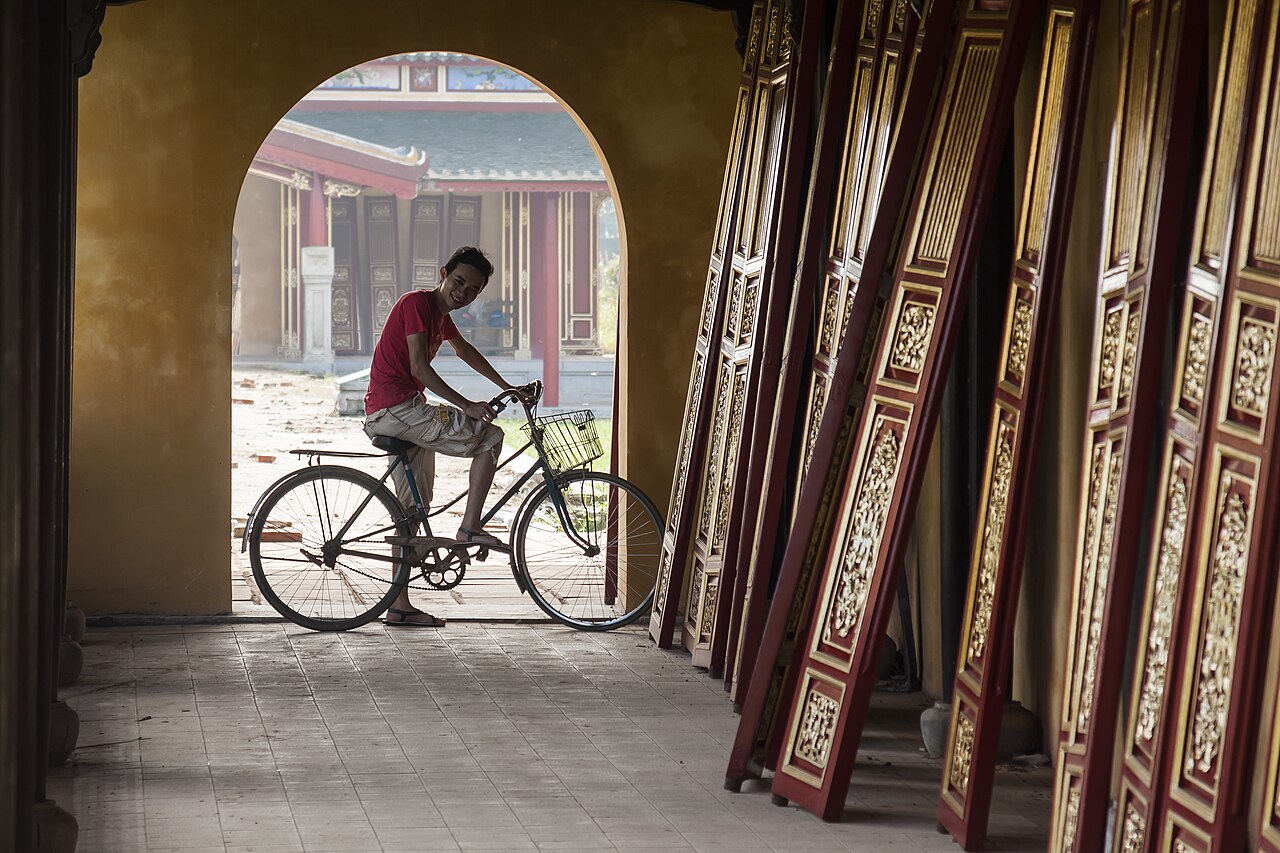
Within the country, domestic flights connect the main cities quickly. The Reunification Express railway runs the length of the country between Hanoi and Ho Chi Minh City, with journey times of roughly 30 to 35 hours end to end; individual segments between cities are a practical way to travel. An extensive network of open-tour buses and sleeper coaches covers routes that the railway does not. Motorbike travel — either self-ridden or as a passenger — is common for reaching highland areas such as the Ha Giang Loop.
What Vietnam is known for
Vietnam's cuisine is among its most recognised features internationally, though it varies considerably by region. Phở — a beef or chicken broth noodle soup — is associated with the north, particularly Hanoi, where it is typically simpler and less garnished than southern versions. Bún bò Huế, a spicier lemongrass-based noodle soup, comes from the former imperial capital. Bánh mì, a sandwich in a light baguette reflecting French colonial influence, is found everywhere but varies in filling by region. The central highlands produce some of Vietnam's most exported coffee, and Vietnamese iced coffee (cà phê đá) is a staple.
Historically, Vietnam is associated internationally with the American War (called the Vietnam War in Western usage), which ended in 1975 with reunification under the Socialist Republic of Vietnam. Sites related to that period — the Củ Chi tunnels near Ho Chi Minh City, the Demilitarised Zone near the former border, the War Remnants Museum in Ho Chi Minh City — draw significant visitor interest. The country's longer history includes over a thousand years of Chinese rule, centuries of internal dynastic conflict, and French colonial administration from the late 19th century.
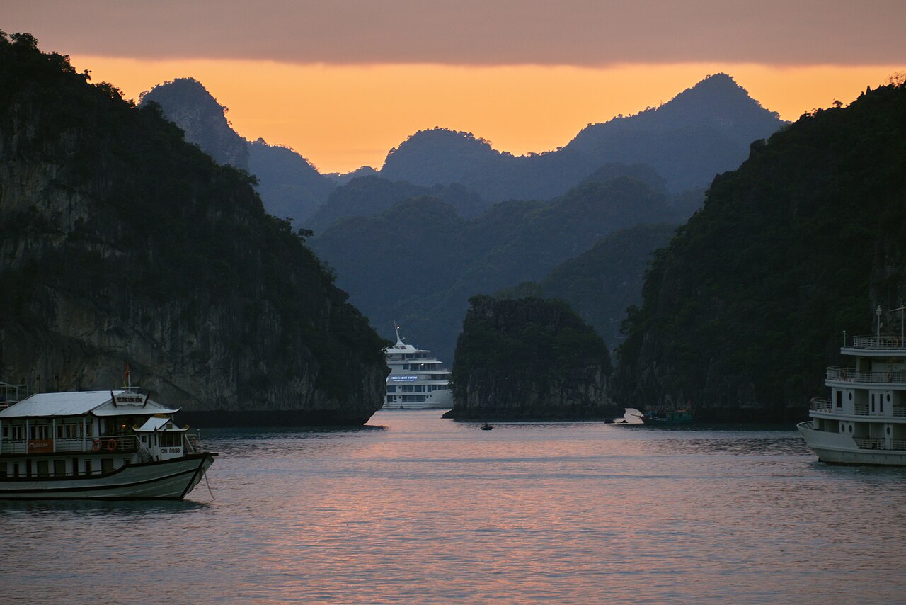
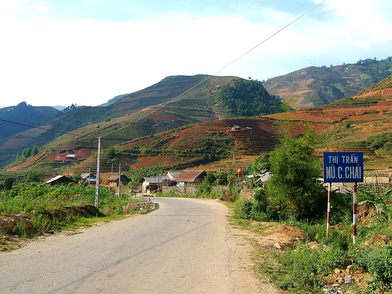
Natural attractions include Hạ Long Bay in the north-east, a UNESCO World Heritage Site of limestone karst islands; Phong Nha-Kẻ Bàng National Park, home to some of the world's largest cave systems including Hang Sơn Đoòng; and the terraced rice fields of the northern highlands around Sapa and Mù Cang Chải, most visually striking during harvest in September and October.
Where visitors stay and how areas differ
Hanoi, the capital, is concentrated around the Old Quarter (Phố Cổ), a dense grid of streets historically organised by trade. It remains the centre of most accommodation and is the base for day trips north to Hạ Long Bay or west to Ninh Bình's limestone landscapes.
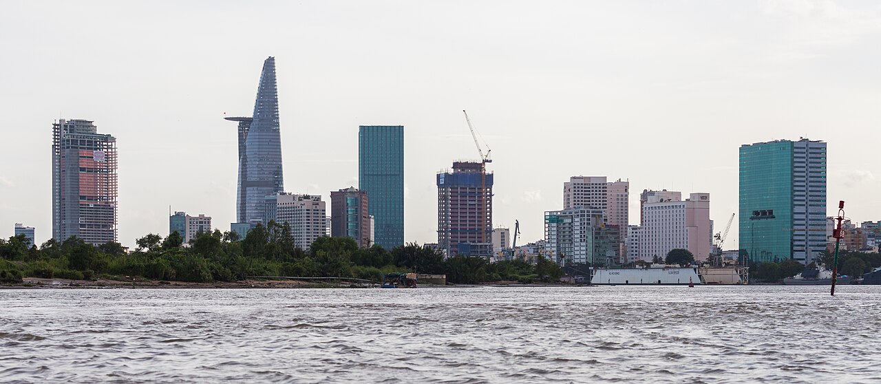
Ho Chi Minh City (still widely called Saigon) is the country's largest city and commercial hub. The central districts — particularly District 1 — hold the main hotels, French-colonial architecture and the bulk of visitor infrastructure. The city is the departure point for the Mekong Delta and the Củ Chi tunnels.
Hội An, a well-preserved trading town in the central region, has a large concentration of guesthouses, boutique hotels and cooking schools. It functions as a base for visiting the nearby ruins of Mỹ Sơn, a Hindu temple complex of the Cham civilisation, and the coastal town of Đà Nẵng.
Phú Quốc, an island in the Gulf of Thailand, has developed rapidly as a beach destination with a range of accommodation from large resort complexes to small guesthouses. It is also known for fish sauce production and black pepper cultivation.
The northern highlands — Sapa, Ha Giang, Mù Cang Chải — offer homestay accommodation run by local ethnic minority communities including the Hmong, Dao and Tày peoples, alongside hotels in the main towns.
Common misunderstandings
First-time visitors frequently underestimate Vietnam's length and the time required to move between regions. Flying between Hanoi and Ho Chi Minh City takes around two hours; overland travel takes days. Treating the country as a single, uniform destination leads to rushed itineraries.
The climate difference between regions catches many visitors off guard. Arriving in the south during its dry season and then travelling north can mean encountering cold, wet weather in Hanoi or mist and rain in Sapa — conditions that travellers dressed for the tropics are not prepared for.
Since 1 July 2025, references to districts as administrative entities are out of date. A Hanoi address that formerly included a district designation now has no district tier. Older travel content, maps and booking platforms may not yet reflect this change, so administrative references in such sources should be treated with caution.
The Vietnamese đồng operates in large nominal figures. Confusion between denominations — particularly between 20,000-đồng and 200,000-đồng notes, which share a similar colour on some print runs — is a frequent source of error at markets and smaller shops. Prices vary by season and by whether a vendor is quoting a local or tourist rate, and this is contested and changing in many tourist areas.
Aya göre iklim
Uzun vadeli ortalamalar; tahmin değildir. Referans dönemi: 2015–2024. Kaynak: ERA5 reanalysis (Copernicus) via the Open-Meteo archive API.
Show the numbers
| Ay | En yüksek °C | En düşük °C | Yağış miktarı (mm) | Yağışlı gün sayısı | Humidity % |
|---|---|---|---|---|---|
| January | 24.7 | 16.3 | 9 | 2 | 77 |
| February | 26.6 | 16.3 | 4 | 1 | 73 |
| March | 29.6 | 18.1 | 26 | 4 | 71 |
| April | 30.3 | 19.7 | 64 | 10 | 74 |
| May | 29.3 | 20.6 | 172 | 23 | 83 |
| June | 27.7 | 20.6 | 190 | 27 | 87 |
| July | 26.7 | 20.3 | 291 | 29 | 90 |
| August | 26.9 | 20.3 | 253 | 30 | 89 |
| September | 26.9 | 19.8 | 317 | 27 | 89 |
| October | 26.4 | 19.1 | 232 | 20 | 86 |
| November | 25.7 | 18.7 | 88 | 9 | 82 |
| December | 24.3 | 17.3 | 30 | 4 | 80 |
Places within Vietnam
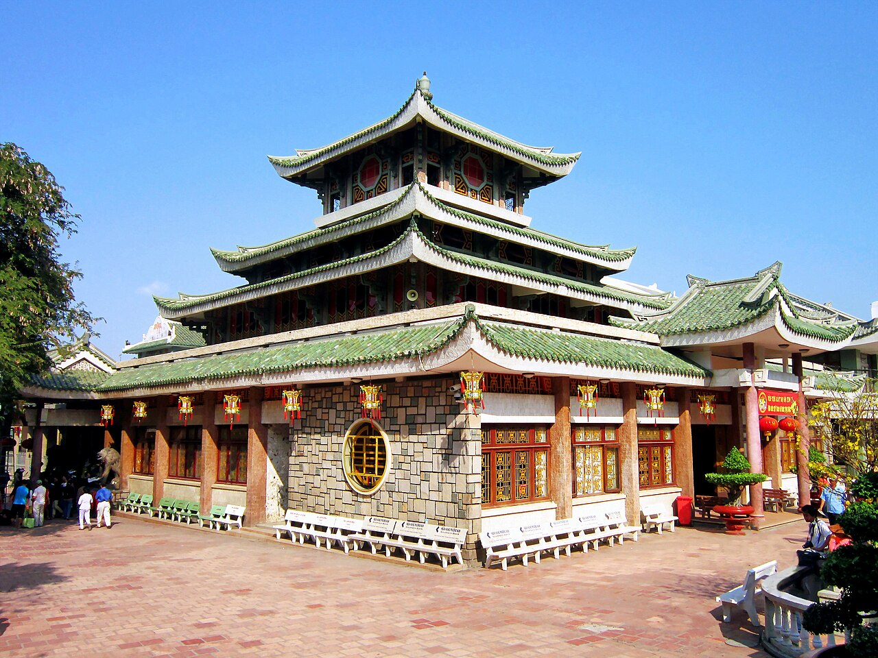 Province
An Giang
Mekong Delta province bordering Cambodia, known for flood-season landscapes, Sam Mountain…
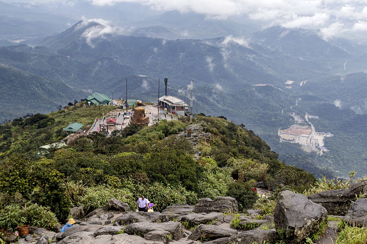 Province
Bac Ninh
One of Vietnam's 34 provincial-level units, enlarged on 1 July 2025.
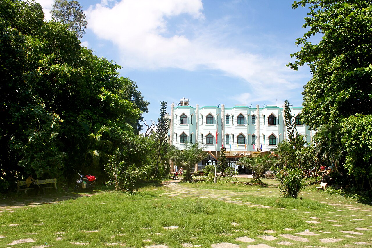 Province
Ca Mau
Vietnam's southernmost province, known for mangrove wilderness, the Ca Mau Cape and a tidal…
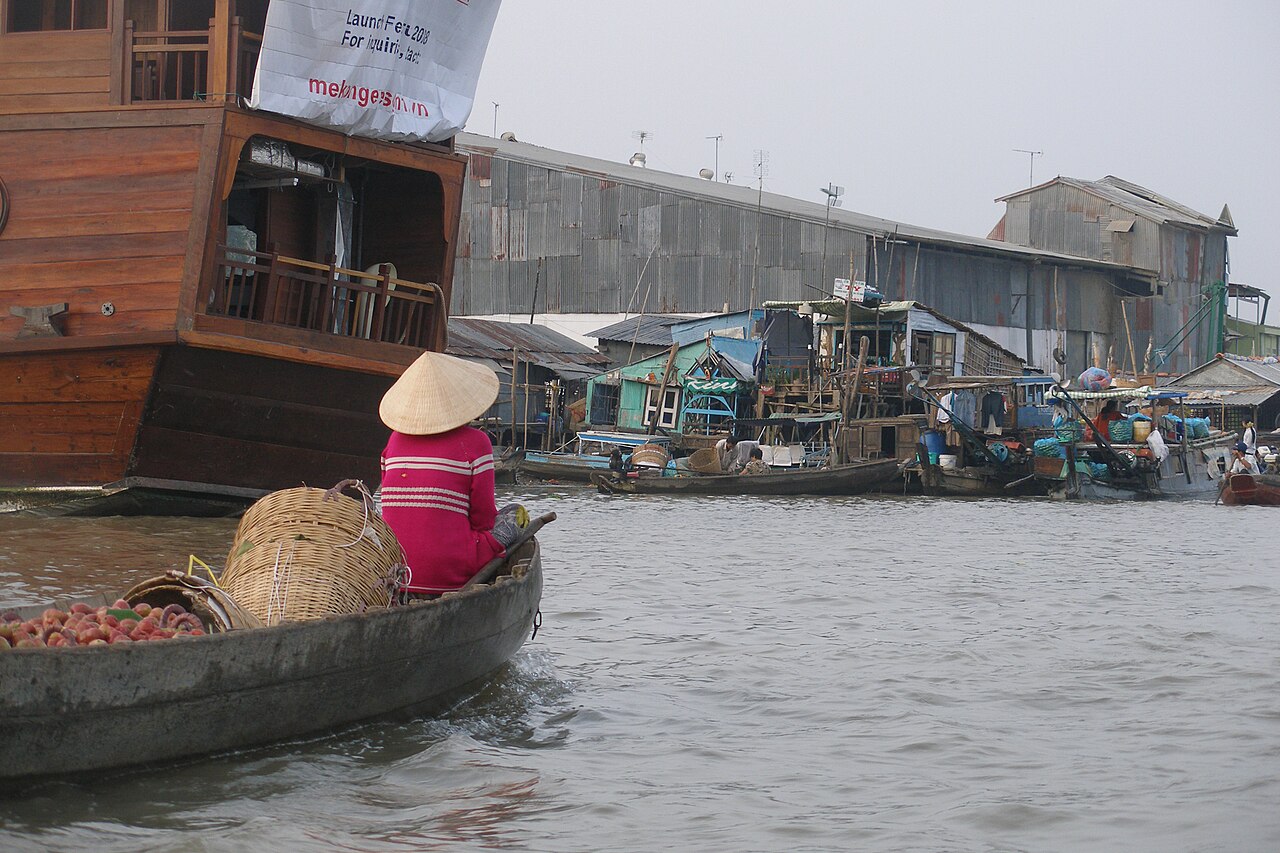 Municipality
Can Tho
Mekong Delta municipality formed in 2025 from Can Tho, Hau Giang and Soc Trang; centre of…
 Province
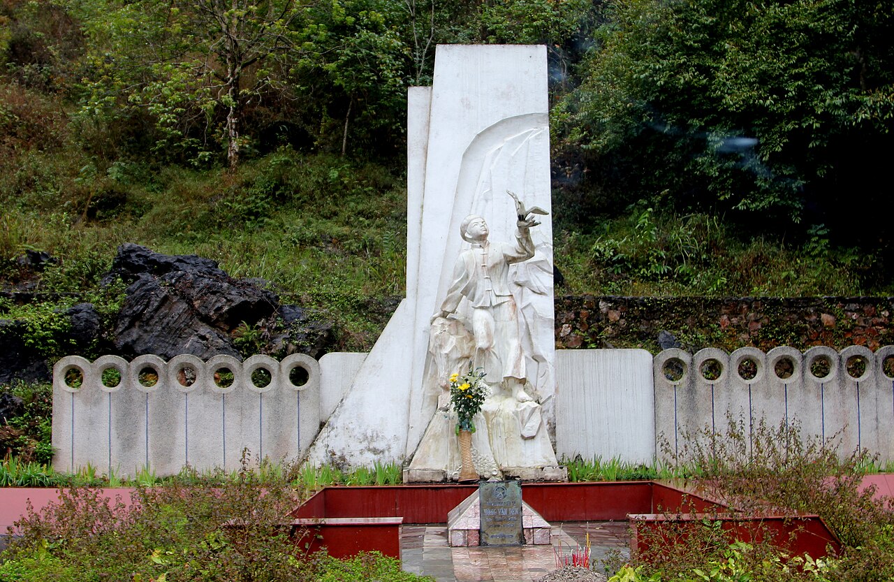
Cao Bang
One of Vietnam's 34 provincial-level units, unchanged by the 2025 reorganisation.
 Region
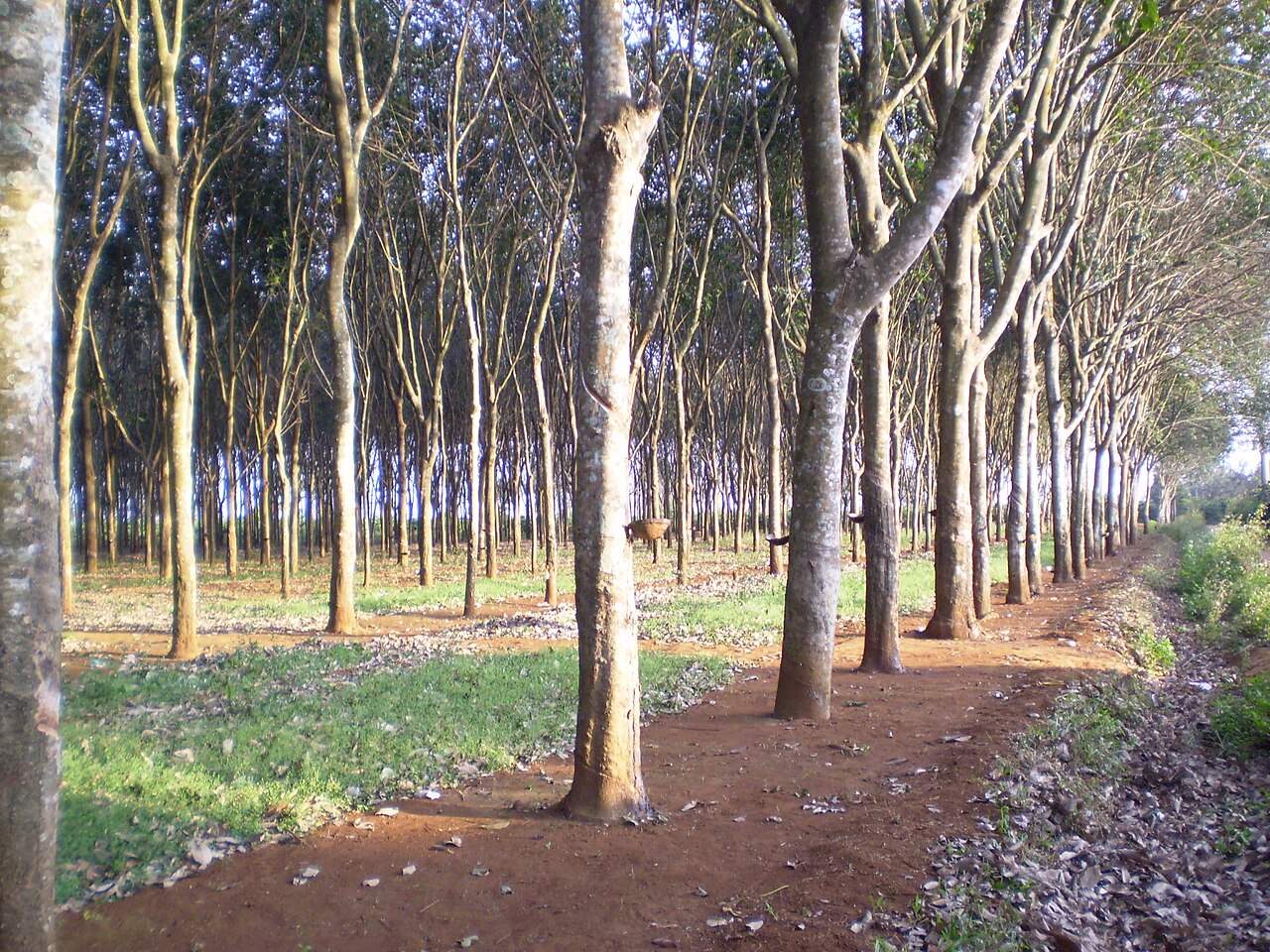
Central Highlands
Vietnam's interior plateau, known for coffee, ethnic minority villages, pine forests and a…
 Municipality
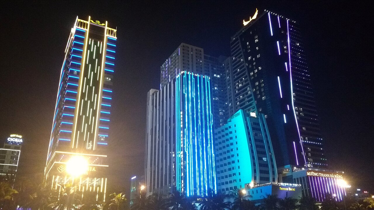
Da Nang
Central Vietnam's main city and transport hub, with beaches, mountain passes and easy…
 Province
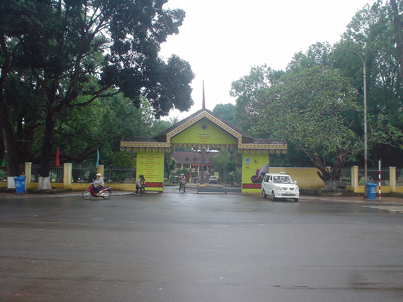
Dak Lak
Vietnam's coffee heartland in the Central Highlands, centred on Buon Ma Thuot and home to…
 Province
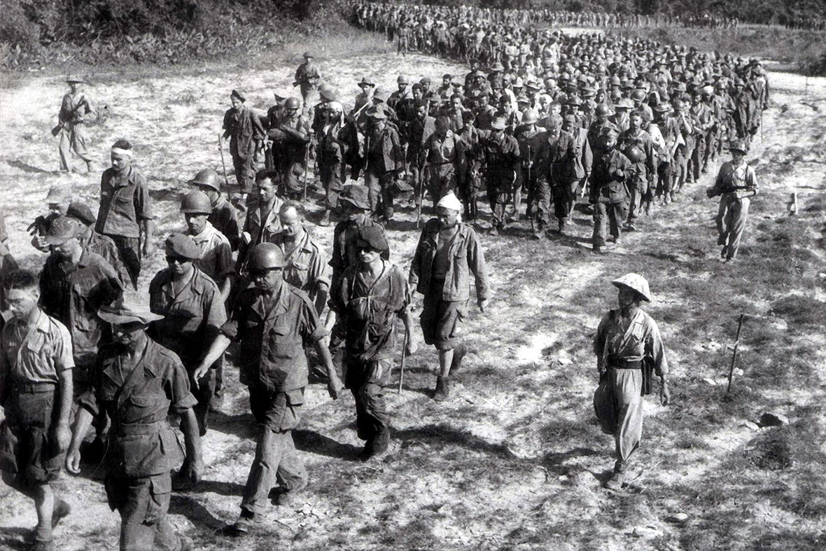
Dien Bien
One of Vietnam's 34 provincial-level units, unchanged by the 2025 reorganisation.
 Province
Dong Nai
Industrialised southeast province centred on Bien Hoa, known for manufacturing, the Dong…
 Province
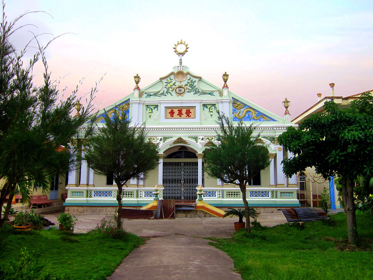
Dong Thap
Mekong Delta province known for lotus cultivation, seasonal floods and Tram Chim National…
 Province
Gia Lai
Large Central Highlands province merging former Gia Lai and Binh Dinh, stretching from…
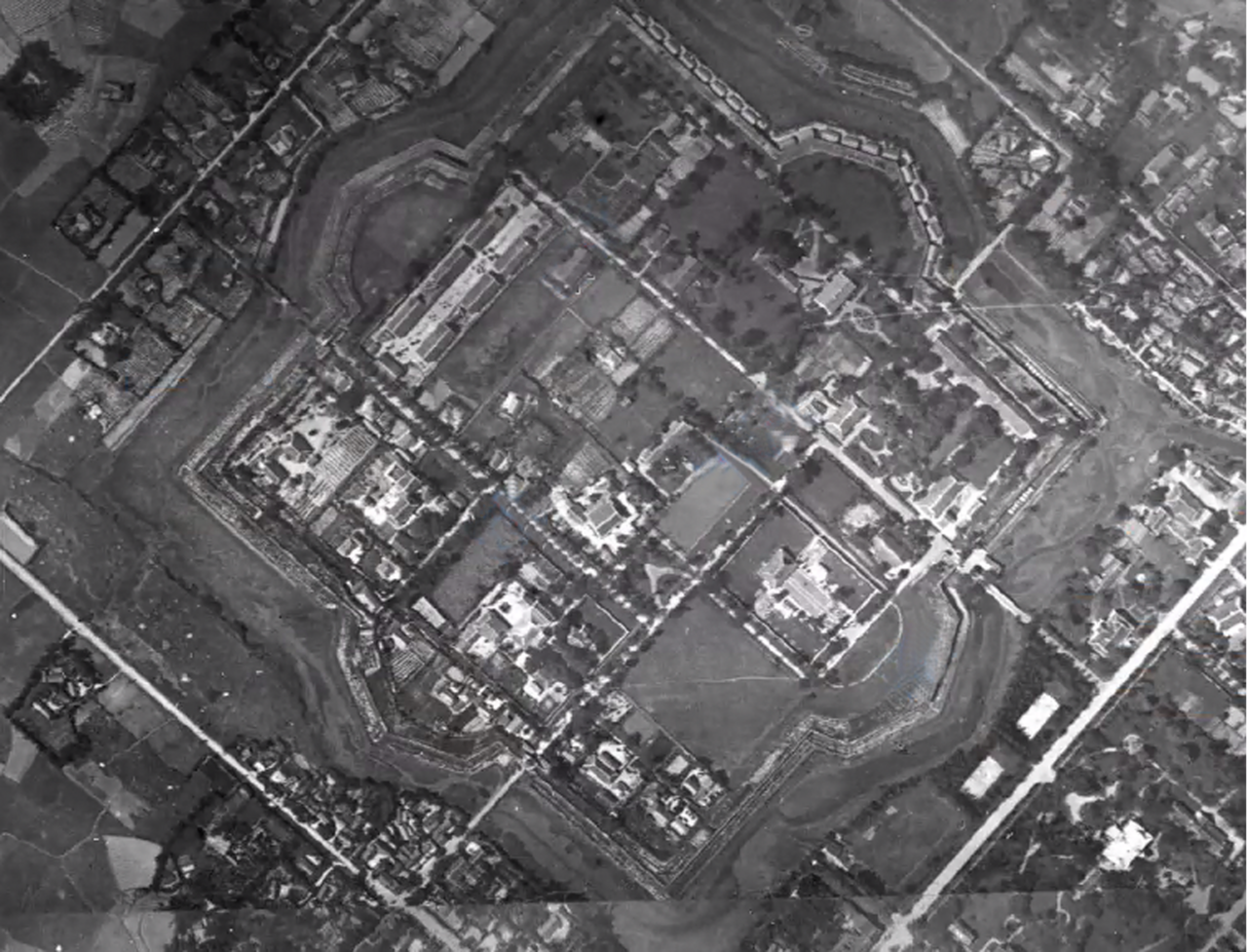 Province
Ha Tinh
A north-central coastal province known for beaches, Vũ Quang National Park, and a rugged…
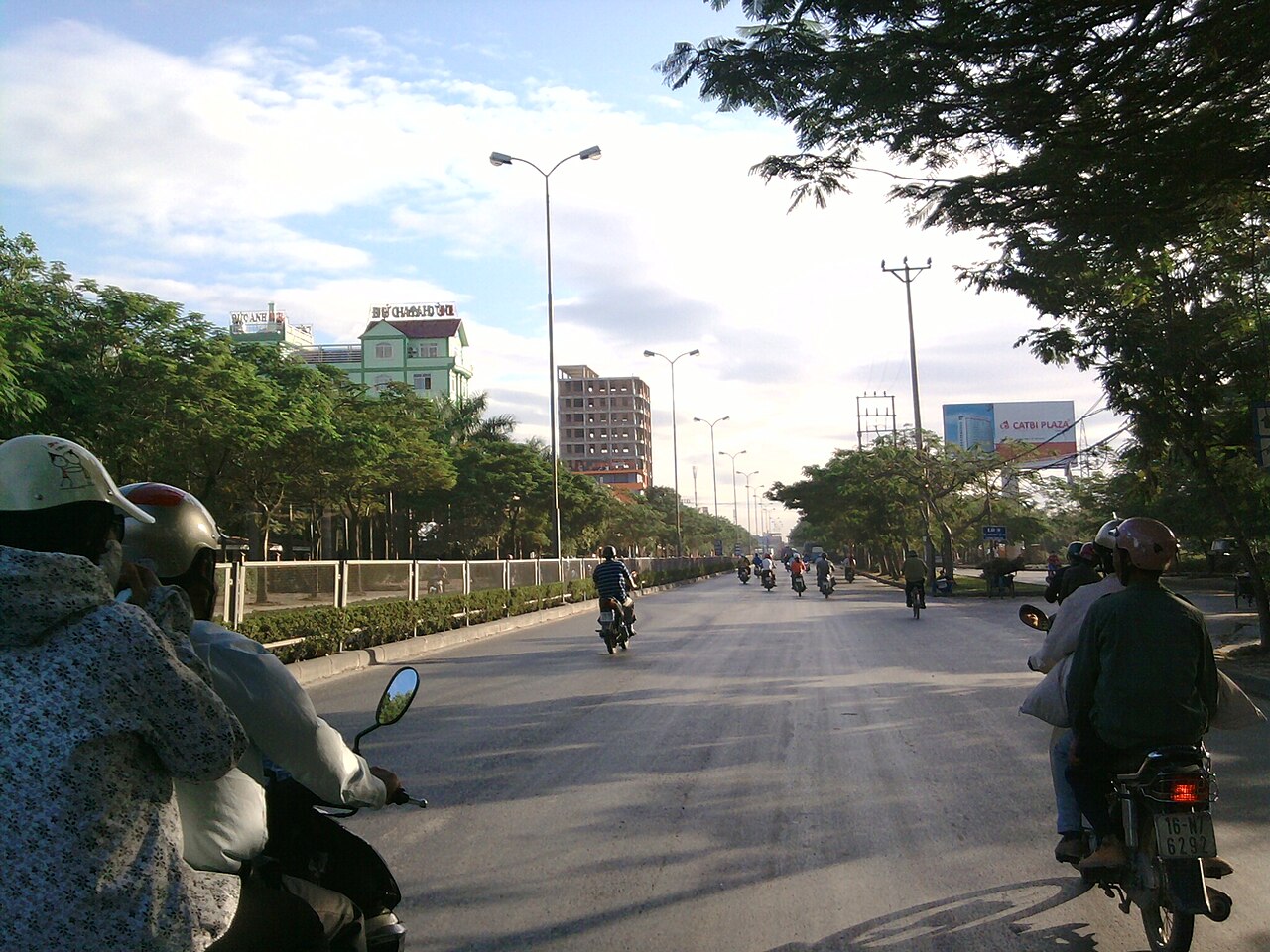 Municipality
Hai Phong
One of Vietnam's 34 provincial-level units, enlarged on 1 July 2025.
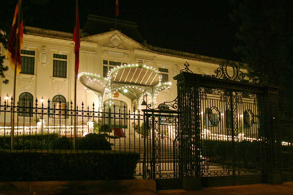 Municipality
Hanoi
One of Vietnam's 34 provincial-level units, unchanged by the 2025 reorganisation.
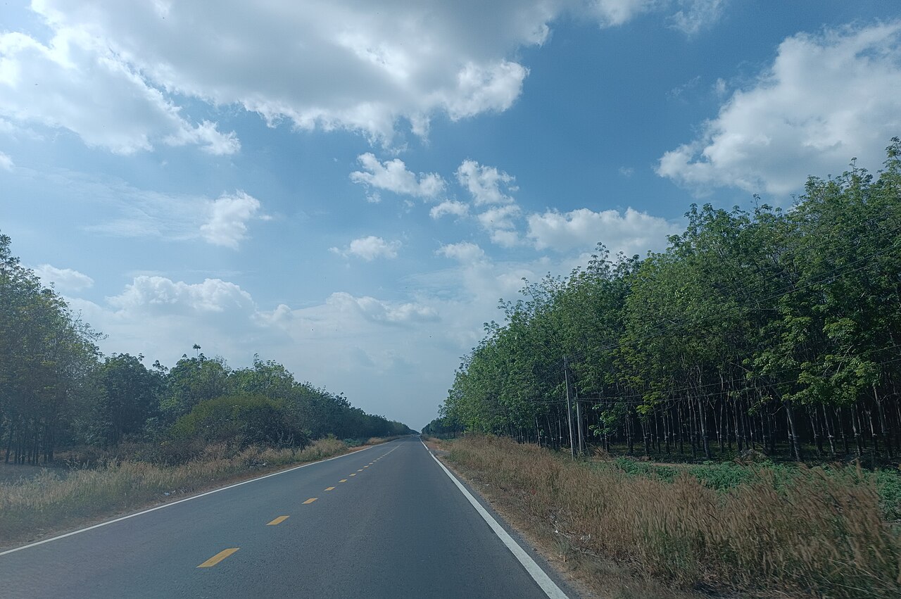 Municipality
Ho Chi Minh City
Vietnam's largest city and commercial centre, a dense, fast-moving metropolis in the…
 Province
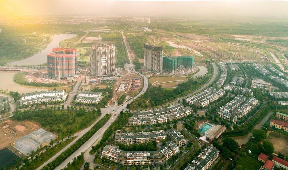
Hung Yen
One of Vietnam's 34 provincial-level units, enlarged on 1 July 2025.
 Province
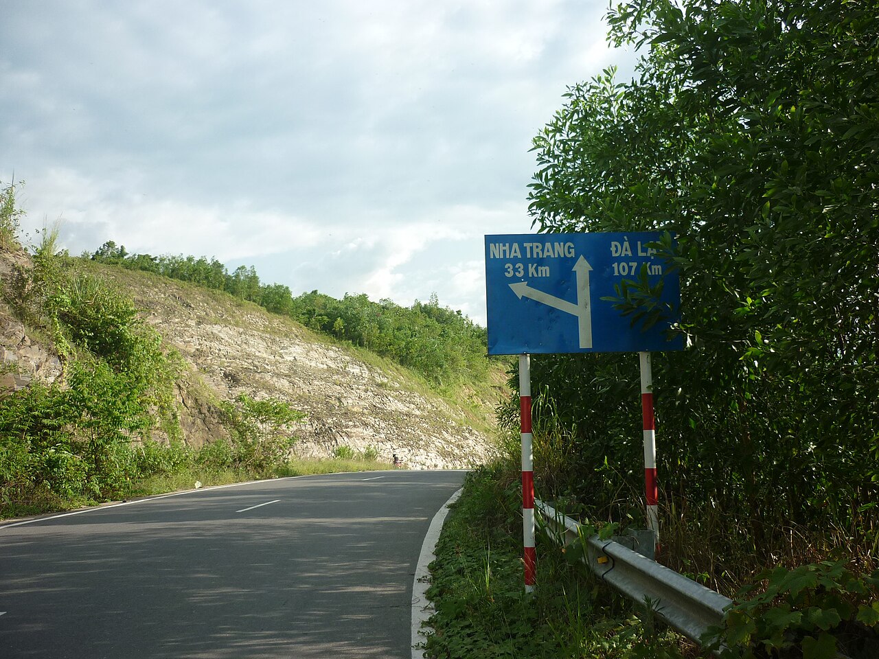
Khanh Hoa
South-central coastal province centred on Nha Trang, formed in 2025 from the merger of…
 Province
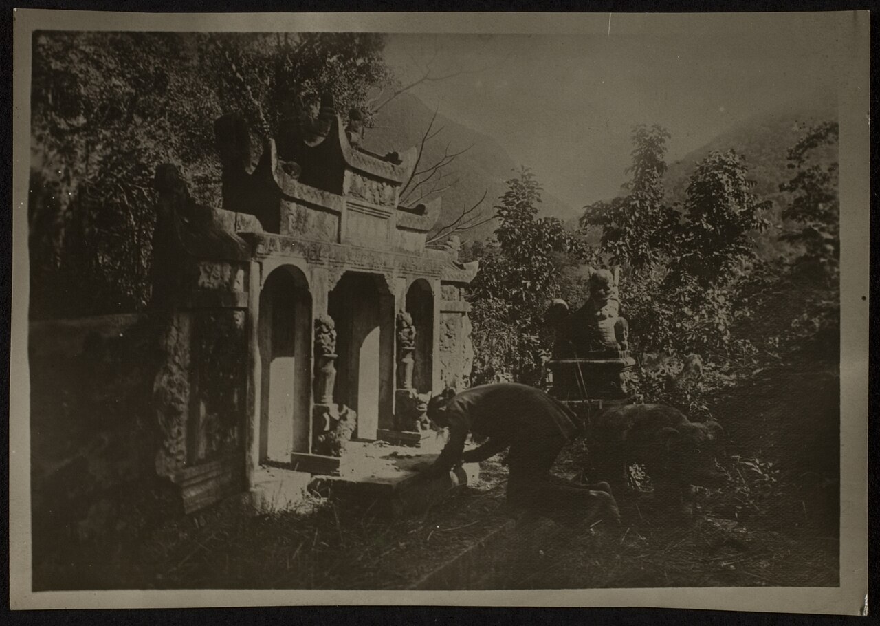
Lai Chau
One of Vietnam's 34 provincial-level units, unchanged by the 2025 reorganisation.
 Province
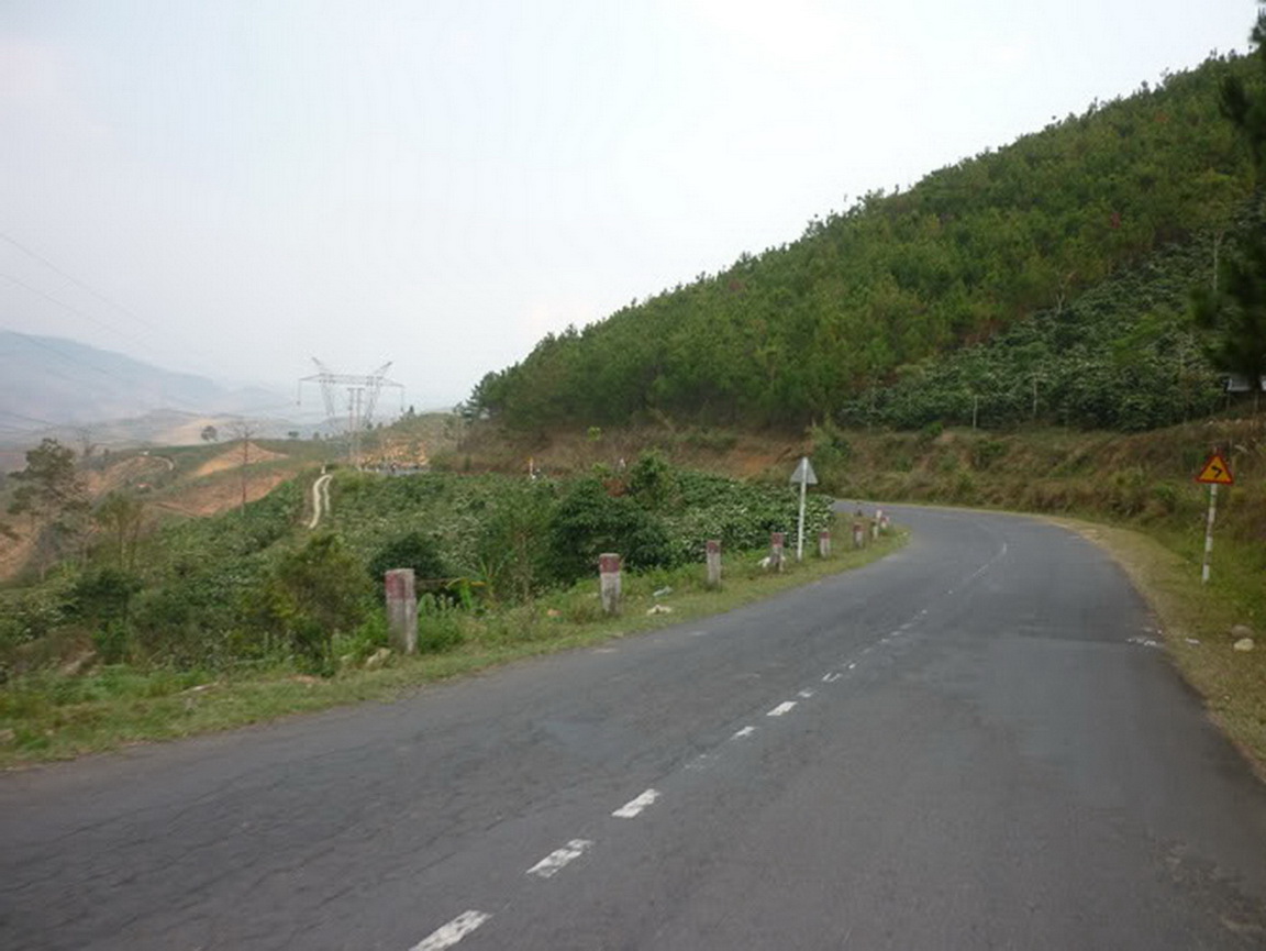
Lam Dong
Central Highlands province centred on Da Lat, covering cool plateaux, pine forests, coffee…
 Province
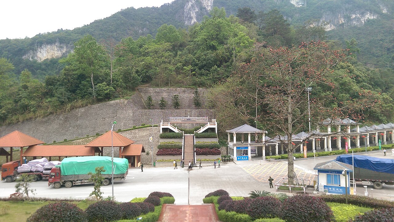
Lang Son
One of Vietnam's 34 provincial-level units, unchanged by the 2025 reorganisation.
 Province
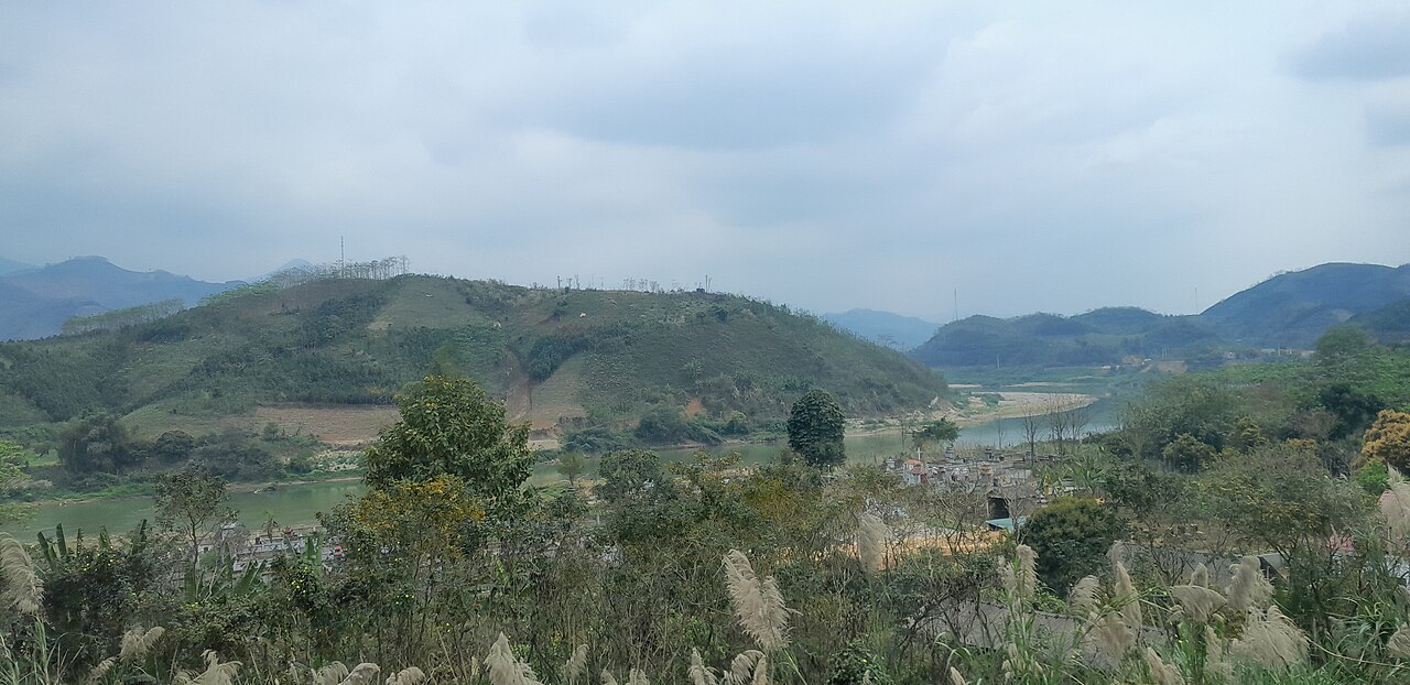
Lao Cai
One of Vietnam's 34 provincial-level units, enlarged on 1 July 2025.
 Region
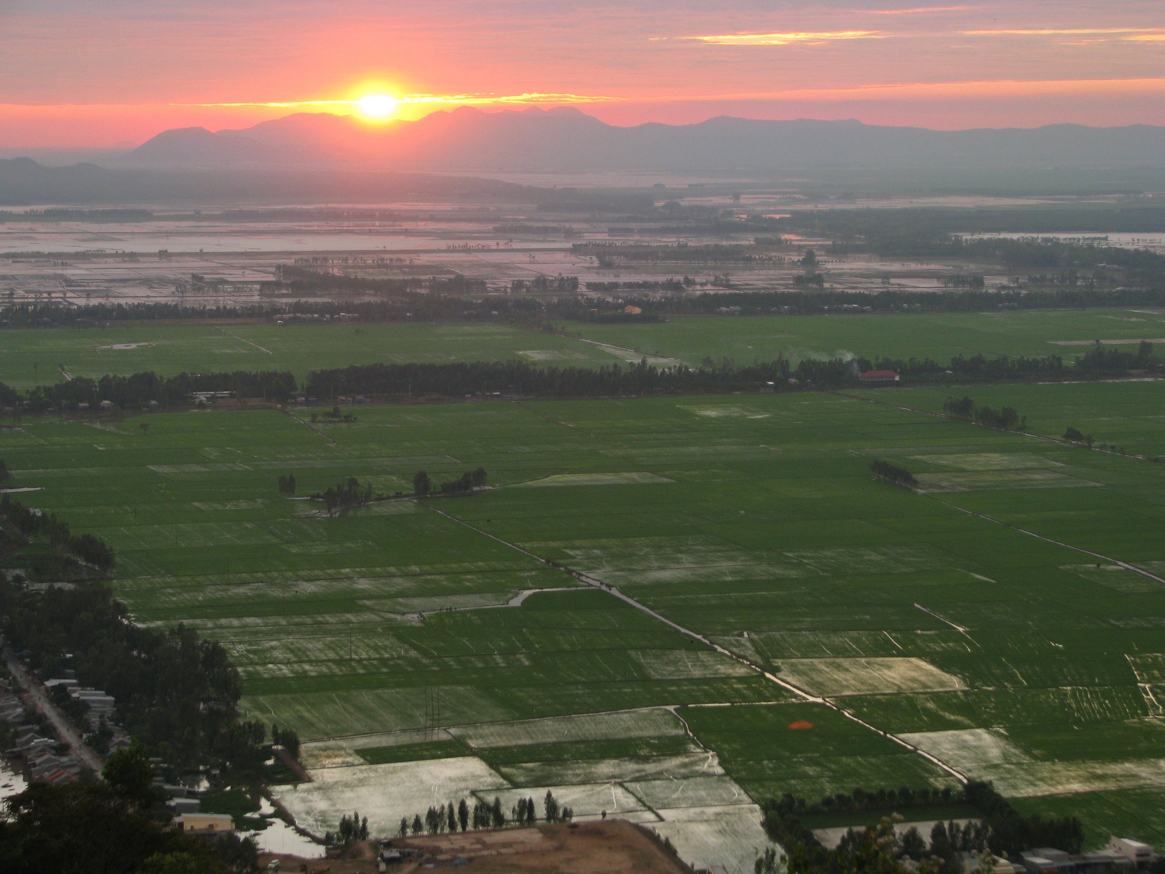
Mekong Delta
Vietnam's great river delta: nine Mekong channels, floating markets, rice paddies and fruit…
 Province
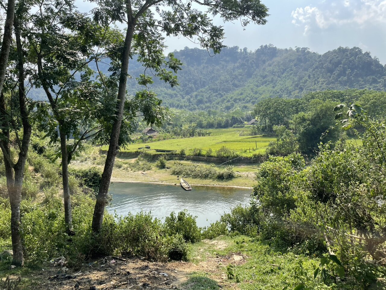
Nghe An
Vietnam's largest province by area, Nghệ An spans coastal plains to Lao border mountains…
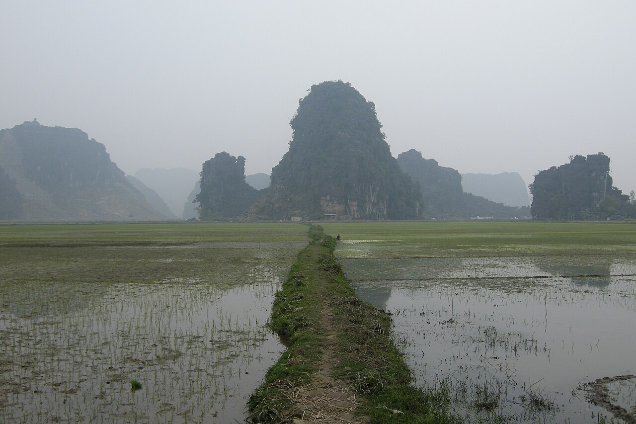 Province
Ninh Binh
One of Vietnam's 34 provincial-level units, enlarged on 1 July 2025.
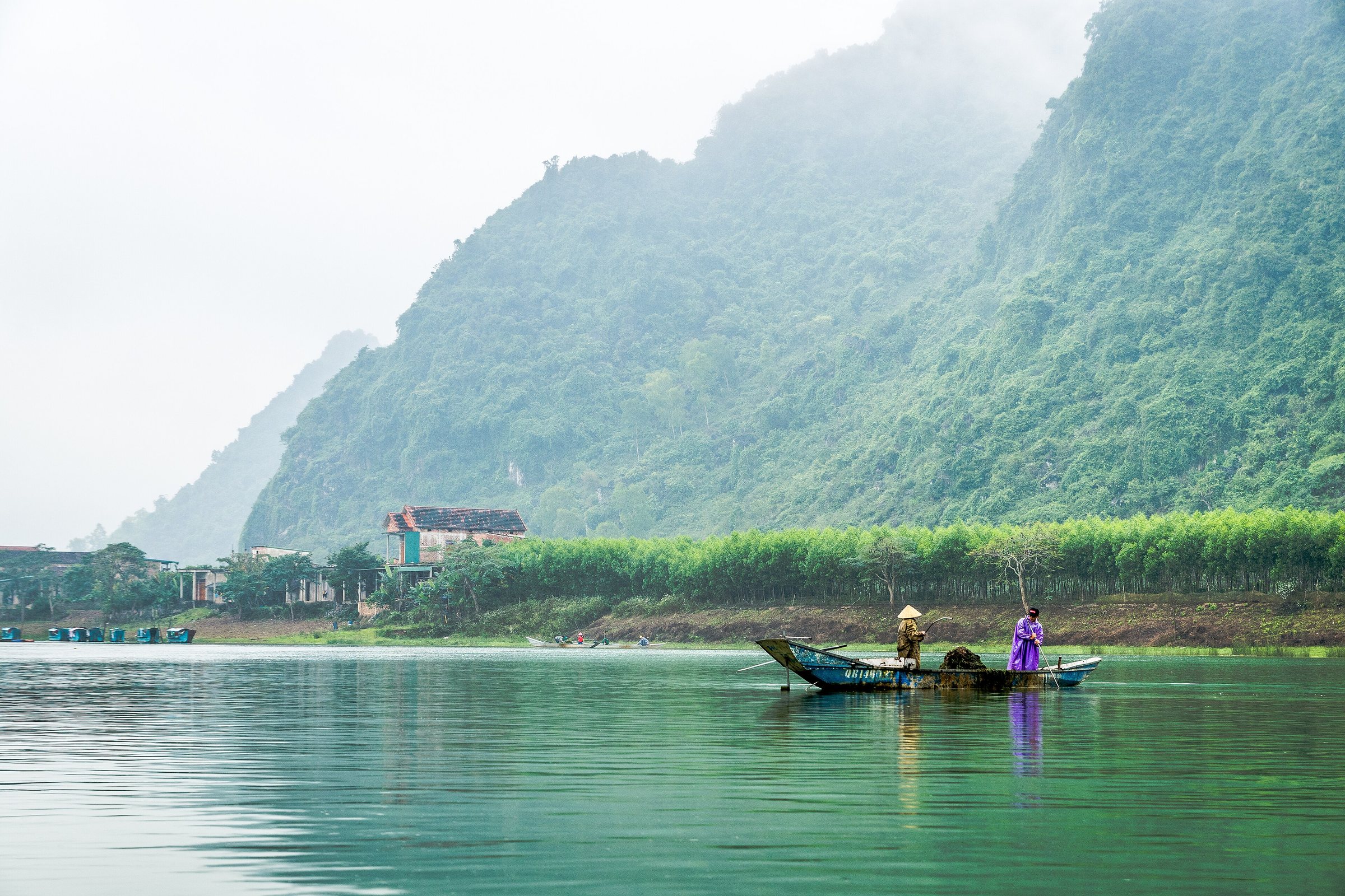 Region
North Central Coast
A long coastal strip between Thanh Hoa and Thua Thien-Hue, known for imperial history…
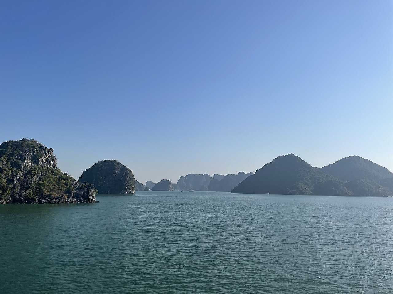 Region
Northeast
Vietnam's northeastern region, known for limestone karst scenery, minority cultures, border…
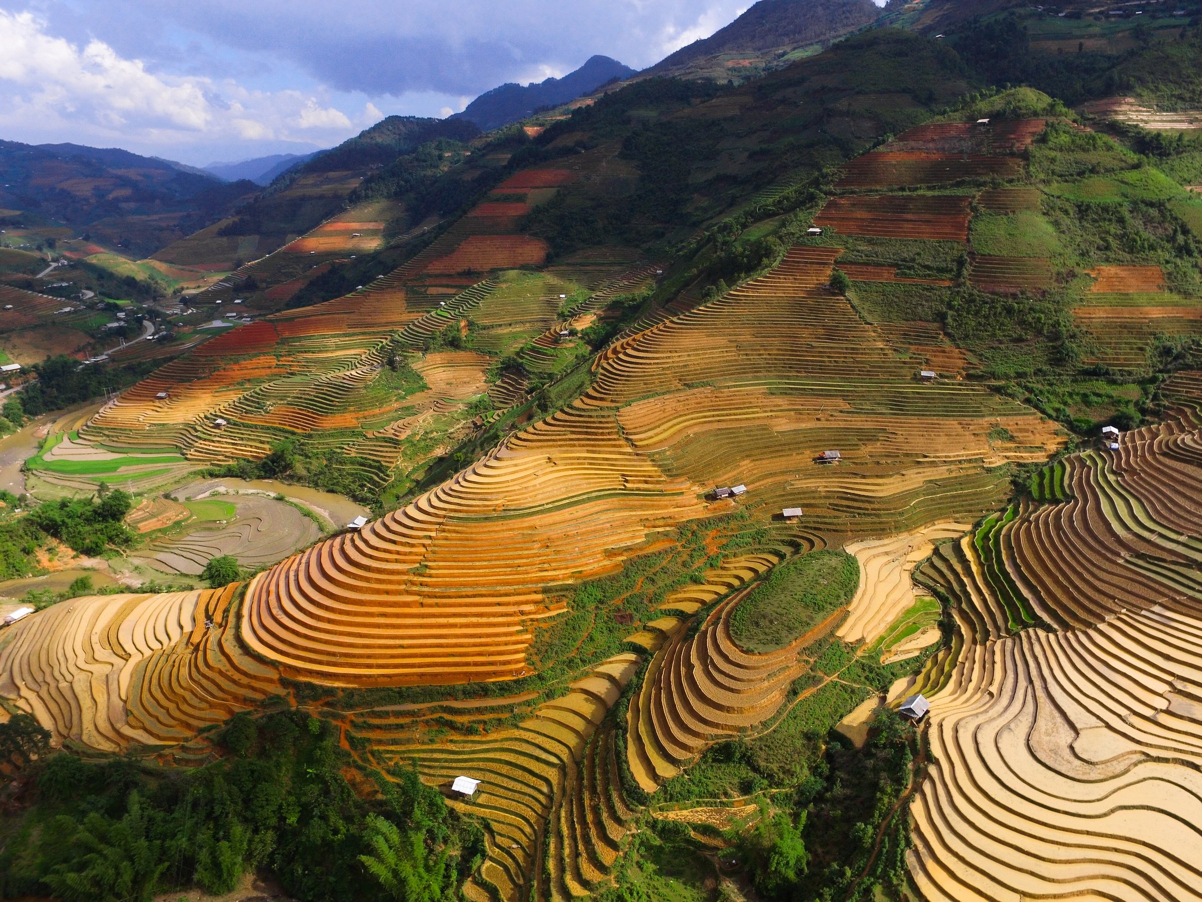 Region
Northwest
Vietnam's high mountain interior, known for terraced rice fields, ethnic minority cultures…
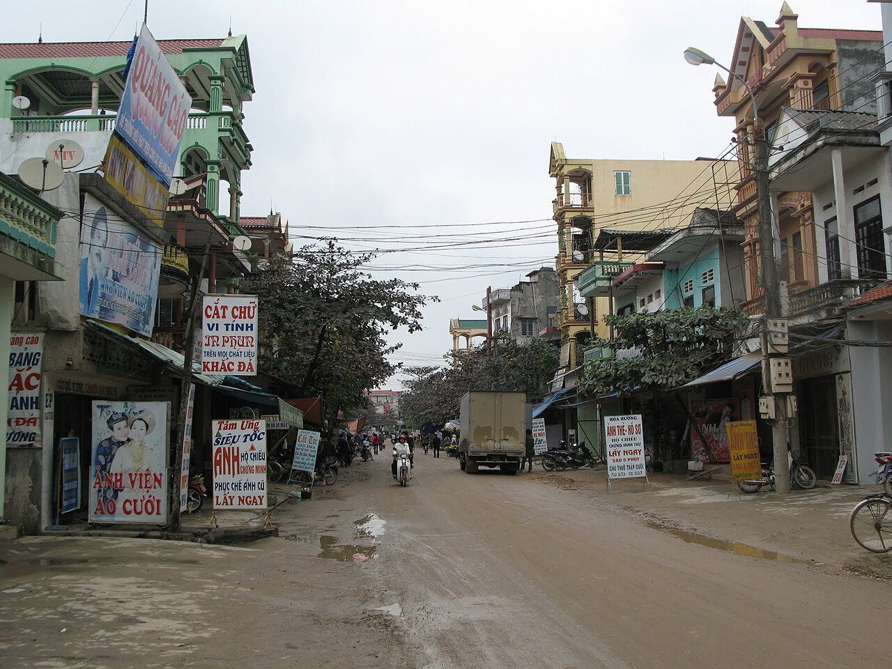 Province
Phu Tho
One of Vietnam's 34 provincial-level units, enlarged on 1 July 2025.
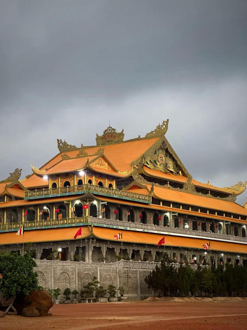 Province
Quang Ngai
South-central coastal province known for the My Lai site, Ly Son Island, and a coast that…
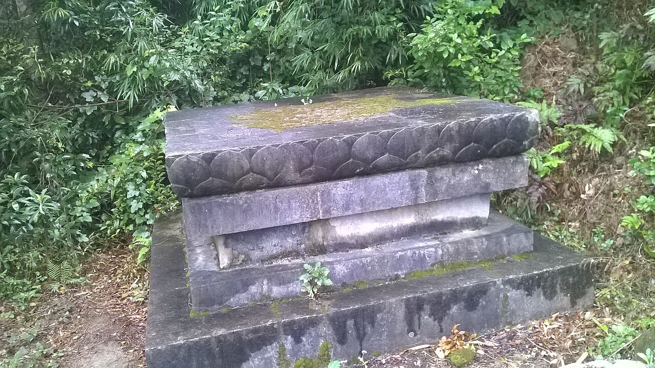 Province
Quang Ninh
One of Vietnam's 34 provincial-level units, unchanged by the 2025 reorganisation.
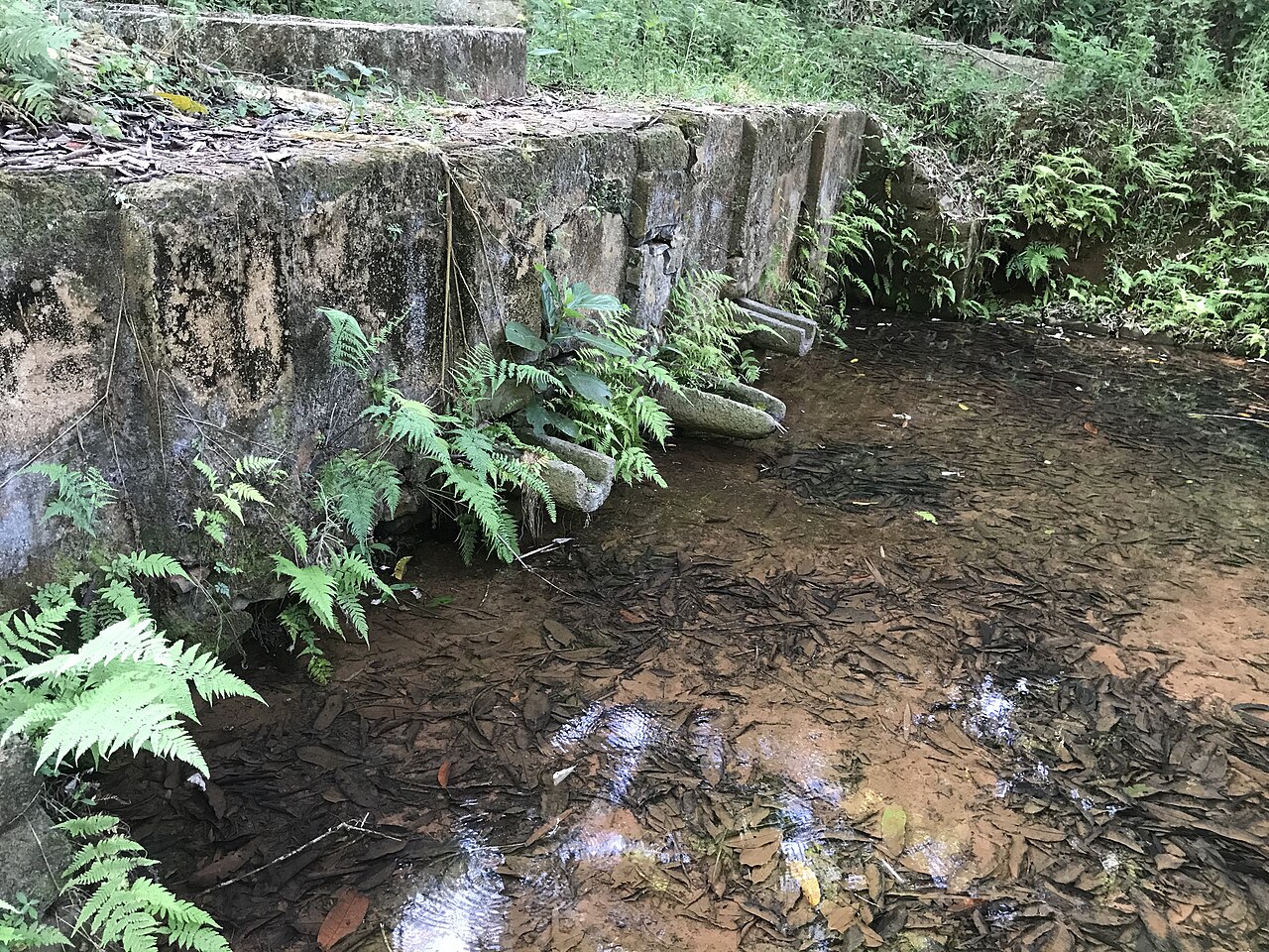 Province
Quang Tri
North-central Vietnamese province known for DMZ war sites, the Hai Van Pass corridor, and…
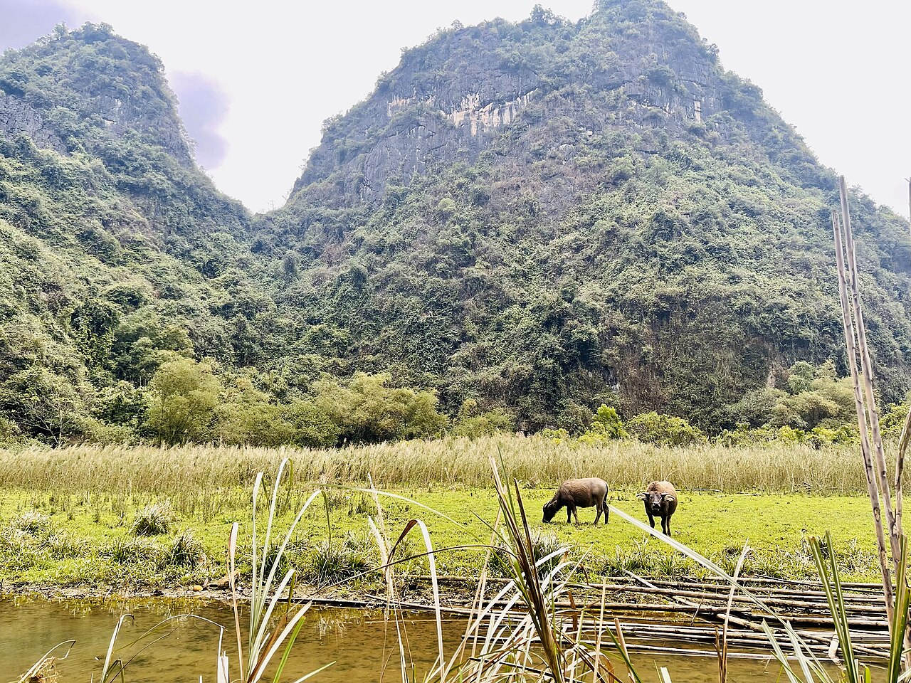 Region
Red River Delta
Vietnam's northern lowland core: a densely farmed, historically rich river delta containing…
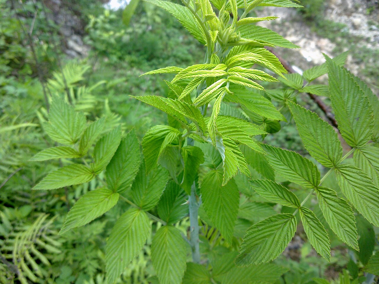 Province
Son La
One of Vietnam's 34 provincial-level units, unchanged by the 2025 reorganisation.
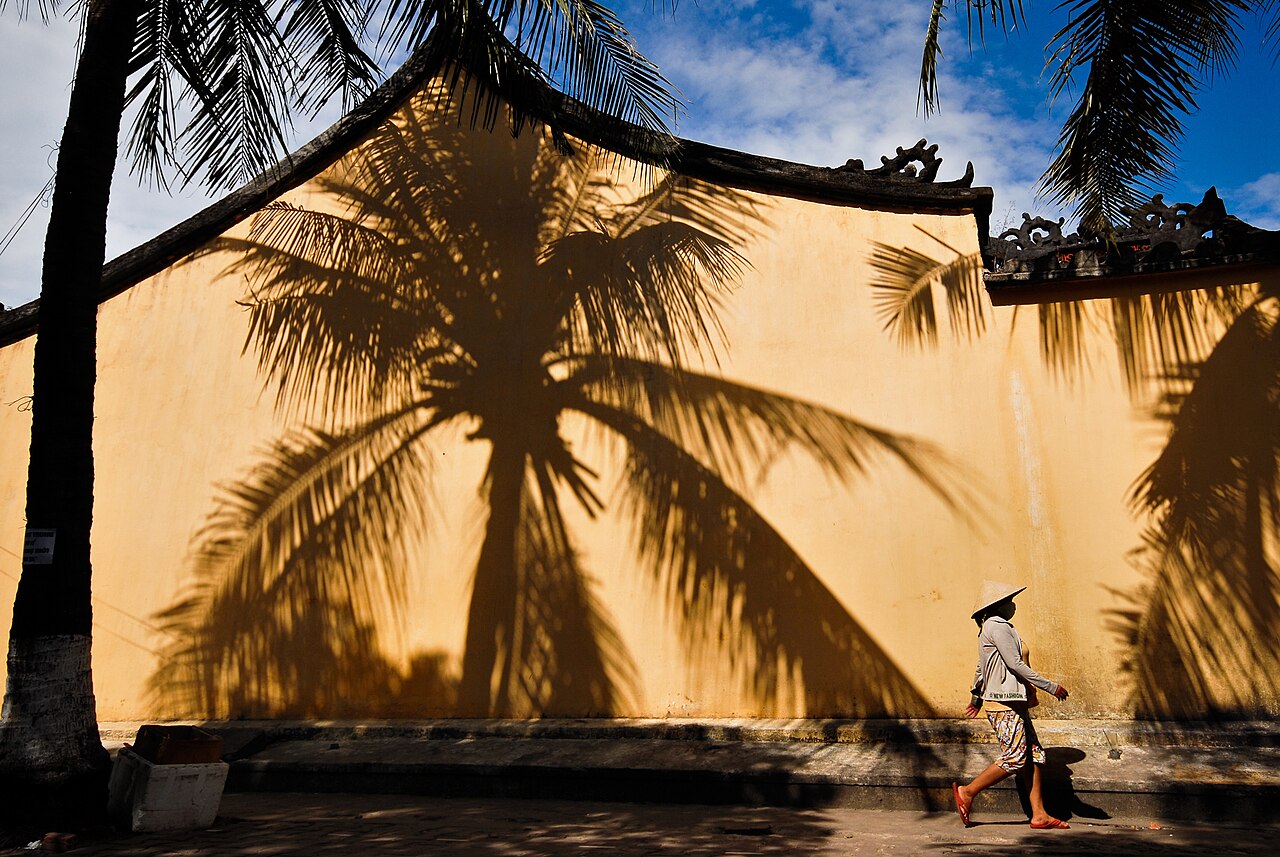 Region
South Central Coast
Vietnam's middle coastline, stretching from Da Nang to Bình Thuận, known for beaches, Cham…
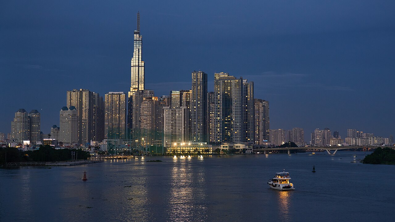 Region
Southeast
Vietnam's industrial and commercial heartland, centred on Ho Chi Minh City, with war…
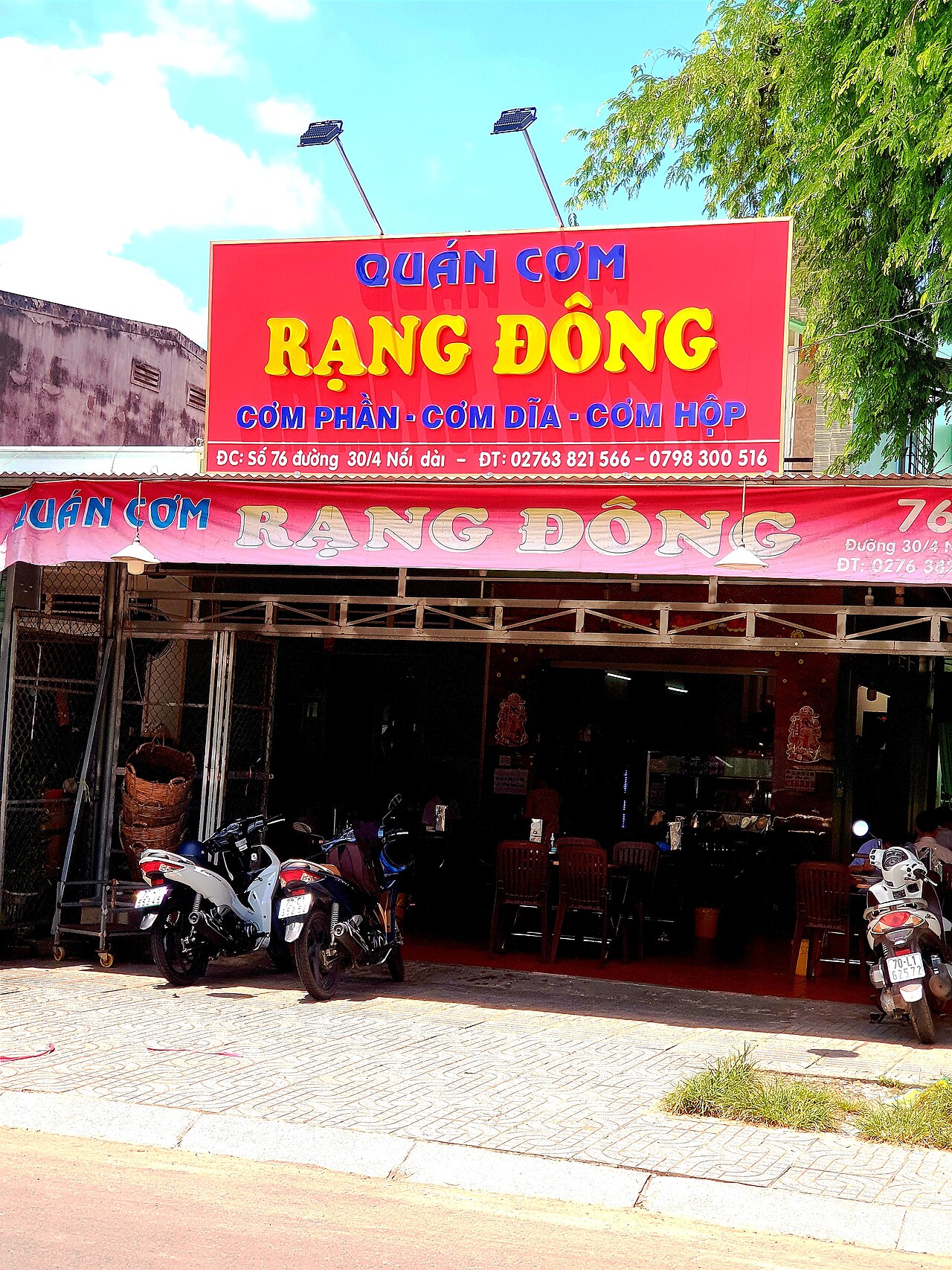 Province
Tay Ninh
Southern Vietnamese province known for the Cao Dai Holy See, Ba Den Mountain, and a long…
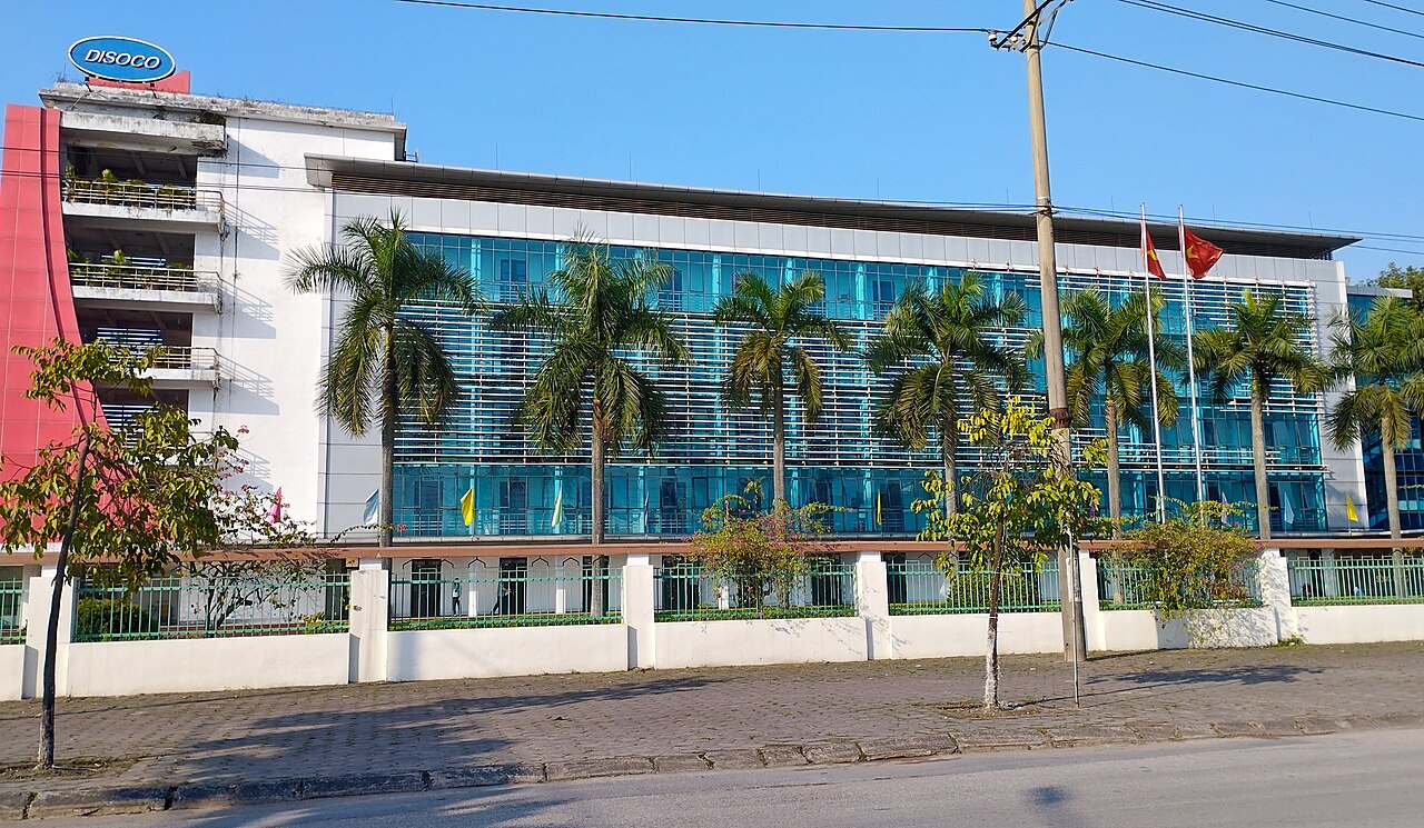 Province
Thai Nguyen
One of Vietnam's 34 provincial-level units, enlarged on 1 July 2025.
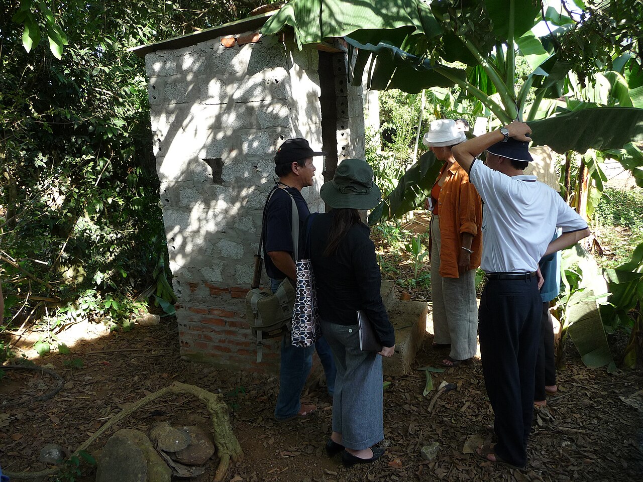 Province
Thanh Hoa
Large north-central province with a coastal plain, forested hills, and historical sites…
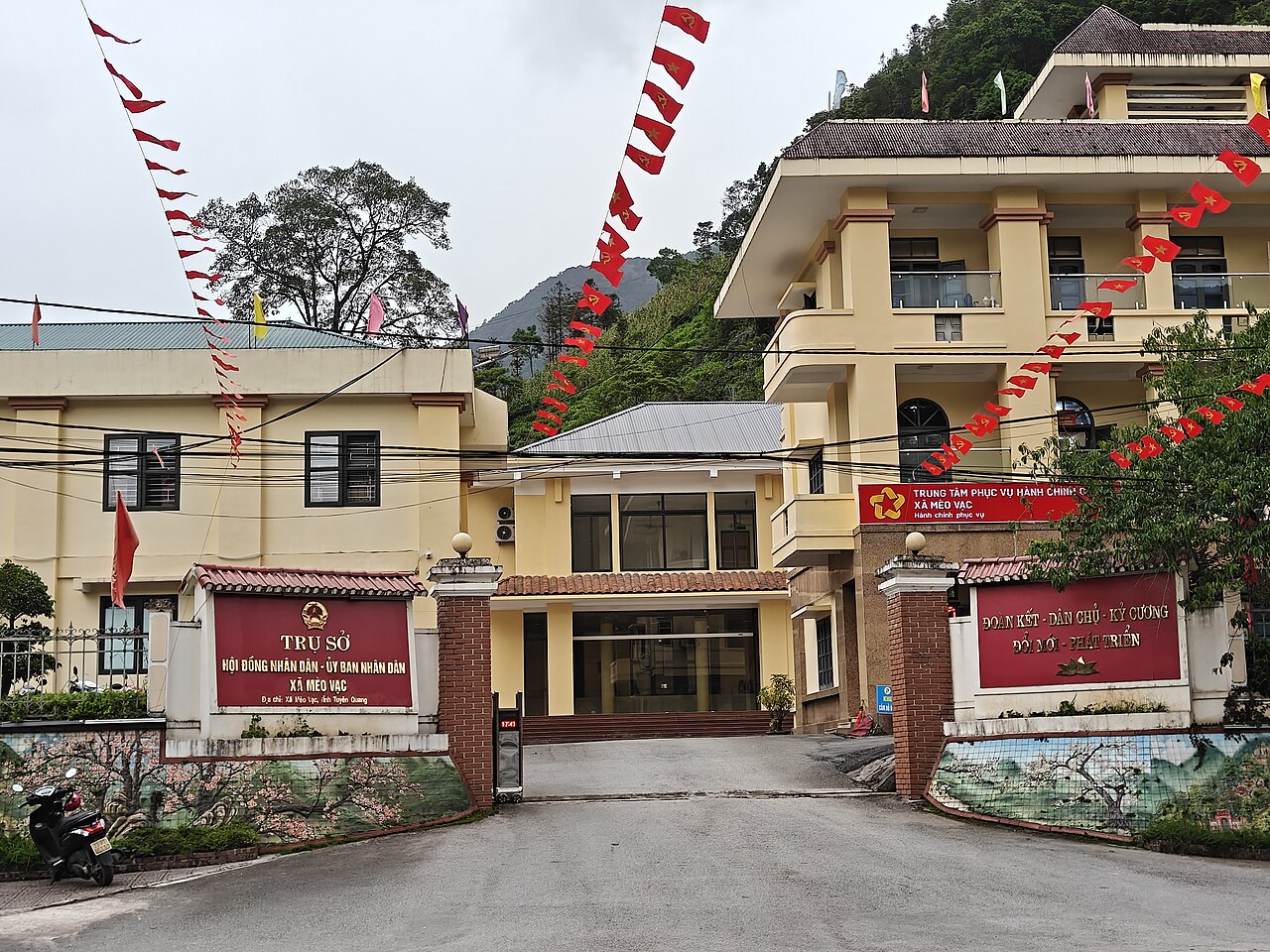 Province
Tuyen Quang
One of Vietnam's 34 provincial-level units, enlarged on 1 July 2025.
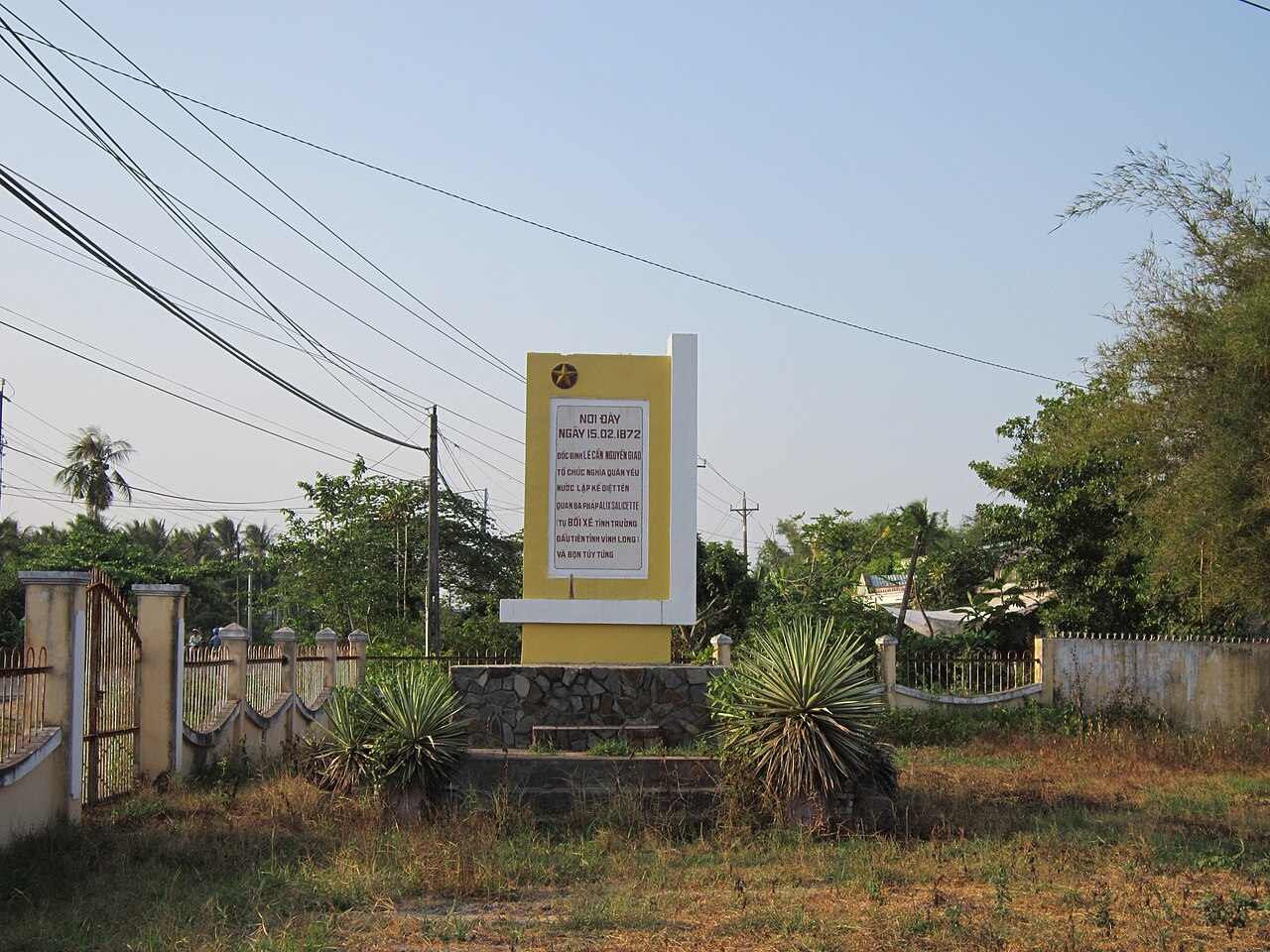 Province
Vinh Long
A Mekong Delta province covering the former Ben Tre, Tra Vinh and Vinh Long areas, known…
Referans veren sayfalar
Kaynaklar
- ERA5 climate normals — Copernicus / Open-Meteo (CC BY 4.0) erişildi 30 August 2026
Supports: monthly temperature and rainfall normals, and elevation - Vietnam National Authority of Tourism — VNAT erişildi 29 August 2026
Supports: the rules and definitions on this page - Economy of Vietnam — Wikipedia (CC BY-SA 4.0) erişildi 31 August 2026
Supports: background - Việt Nam — Wikipedia (Vietnamese) (CC BY-SA 4.0) erişildi 31 August 2026
Supports: background, Vietnamese edition
Current Son doğrulama: 31 August 2026. Rules, fares and prices change — check the official source before acting on anything here. Report a mistake.
Picture credits (49)
Ha Long Bay - Halong1407, lumoplank, CC0, Wikimedia Commons · Rice terraces in Sapa, Vietnam, Eerin25, CC0, Wikimedia Commons · Mu Cang Chai, Viethavvh, Public domain, Wikimedia Commons · Khau Phạ, Viethavvh, Public domain, Wikimedia Commons · Hue Vietnam Citadel-of-Huế-21, CEphoto, Uwe Aranas, CC BY-SA 3.0, Wikimedia Commons · Hue Vietnam A-lady-with-her-bike-transporting-goods-01, CEphoto, Uwe Aranas, CC BY-SA 3.0, Wikimedia Commons · Río Saigón, Ciudad Ho Chi Minh, Vietnam, 2013-08-14, DD 29, Diego Delso, CC BY-SA 3.0, Wikimedia Commons · Hue Vietnam Tomb-of-Emperor-Minh-Mang-03, CEphoto, Uwe Aranas, CC BY-SA 3.0, Wikimedia Commons · Miếu Bà Chúa Xứ Núi Sam, Bùi Thụy Đào Nguyên, CC BY-SA 3.0, Wikimedia Commons · Phong cảnh núi Yên Tử, Bùi Thụy Đào Nguyên, CC BY-SA 4.0, Wikimedia Commons · Nhà hàng và khách sạn Hòn Đá Bạc, Bùi Thụy Đào Nguyên, CC BY-SA 3.0, Wikimedia Commons · Can Tho, Vietnam, Floating Market 2, Vyacheslav Argenberg, CC BY 4.0, Wikimedia Commons · Mộ Kim Đồng, Cao Bằng, Leminhel, CC BY-SA 3.0, Wikimedia Commons · Caosu, DXLINH, Public domain, Wikimedia Commons · Da Nang, Vietnam (48879172367), Nick, CC BY 2.0, Wikimedia Commons · Baotang05, Đỗ Tuấn Hưng, CC BY-SA 3.0, Wikimedia Commons · Dien Bien Phu 1954 French prisoners, Stringer, AFP, Public domain, Wikimedia Commons · Lê Phước, CC BY 3.0, Wikimedia Commons · Chùa Giác Tôn, Bùi Thụy Đào Nguyên, CC BY-SA 3.0, Wikimedia Commons · Vietnam fishermen (Unsplash), Priscilla Du Preez artographybyp, CC0, Wikimedia Commons · Không ảnh Thành Sen, LuatgiaNguyenNgoc, CC BY-SA 4.0, Wikimedia Commons · Duong Nguyen Binh Khiem thanh pho Hai Phong, Hoàng Linh ( thảo luận ), CC BY-SA 3.0, Wikimedia Commons · Bacbophu, Xcanbiet ( talk ) ( Uploads ). Xcanbiet at English Wikipedia, CC BY-SA 3.0, Wikimedia Commons · A Peaceful road in a rural of Ho Chi Minh City, ペルナ, CC0, Wikimedia Commons · Ecopark Hung Yen, Nguyễn Văn Thành 1992, CC BY-SA 4.0, Wikimedia Commons · haidang54, CC BY-SA 3.0, Wikimedia Commons · PP0228047 Tombeau de Deo Van Tré, Unknown photographer, Public domain, Wikimedia Commons · QL27 Deo Phu Son (01), Tan218ntl, CC BY-SA 3.0, Wikimedia Commons · Cua khau Huu Nghi, Gió Đông ( thảo luận ), Public domain, Wikimedia Commons · Border China.Red River.Lao Cai (28150), JakobHosp, CC BY 4.0, Wikimedia Commons · Vietnam 08 - 154 - sunset over the delta (3186479787), McKay Savage from London, UK, CC BY 2.0, Wikimedia Commons · Bản Khe Búng, Xã Môn Sơn, Con Cuông, Nghệ An, Vietnam 5, KoheiU, CC0, Wikimedia Commons · Vietnam, Ninh Binh, Limestone rocks and wetlands, Vyacheslav Argenberg, CC BY 4.0, Wikimedia Commons · Bateau Phong Nha, Preparetavalise.com, CC BY-SA 4.0, Wikimedia Commons · Halong Bay - Northeast Vietnam (2), Muralikrishna m, CC BY-SA 4.0, Wikimedia Commons · Terraces in Che Cu Nha commune, Mu Cang Chai (Unsplash), Doan Tuan danny_pham93, CC0, Wikimedia Commons · AoChau8 HaHoa, Bùi Thế Tâm, CC BY-SA 3.0, Wikimedia Commons · Chùa minh đức, Benjaminelevenis, CC0, Wikimedia Commons · Bệ tháp hoa sen, Gió vô ưu, CC BY-SA 4.0, Wikimedia Commons · Giếng cổ Ba Vòi - Quảng Trị, Thienn, CC BY-SA 4.0, Wikimedia Commons · Dundj Valley with buffalo Ninh Binh Vietnam, Teddy Dundj, CC BY-SA 4.0, Wikimedia Commons · Rubus niveus 01, Gió Đông ( thảo luận ), CC BY 3.0, Wikimedia Commons · Streets of Hoi An Ancient Town, Quang Nam province, South Central Coast, Vietnam-2, Mstyslav Chernov, CC BY-SA 3.0, Wikimedia Commons · Saigon at Blue Hour, Radek Kucharski, CC BY 2.0, Wikimedia Commons · Tây Ninh 2022 (biển hiệu cửa hàng) (6), Phương Huy, CC BY-SA 4.0, Wikimedia Commons · Diesel Song Cong TN, Bacthai20, CC0, Wikimedia Commons · Inspectiong the new latrine, Thanh Hoa, Vietnam 2010. Photo- AusAID (10705409726), Department of Foreign Affairs and Trade, CC BY 2.0, Wikimedia Commons · Office Building of the People's Council - People's Committee of Meo Vac Commune, HuangWending18072009, CC0, Wikimedia Commons · Bia ghi công Lê Cẩn và Nguyễn Giao, Bùi Thụy Đào Nguyên, CC BY-SA 3.0, Wikimedia Commons