2025 constitutional amendment and Law on Organisation of Local Government establishing a two-tier local government
Status after the 2025 administrative reorganisation
Until 30 June 2025, Cà Mau city was a thành phố trực thuộc tỉnh (provincial city) — the administrative and commercial centre of Cà Mau province. On 1 July 2025, Vietnam abolished the district tier and consolidated its 63 provincial-level units into 34. Cà Mau city's status as a discrete administrative unit ended as part of that process, with governance moving to a two-tier province–commune system.
The place itself has not changed. The urban area, its infrastructure, its floating markets and its canals are exactly where they were. What changed is the administrative layer above the commune level, not the city on the ground.
What Cà Mau city is
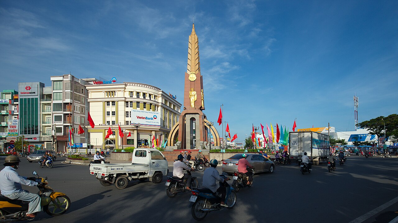
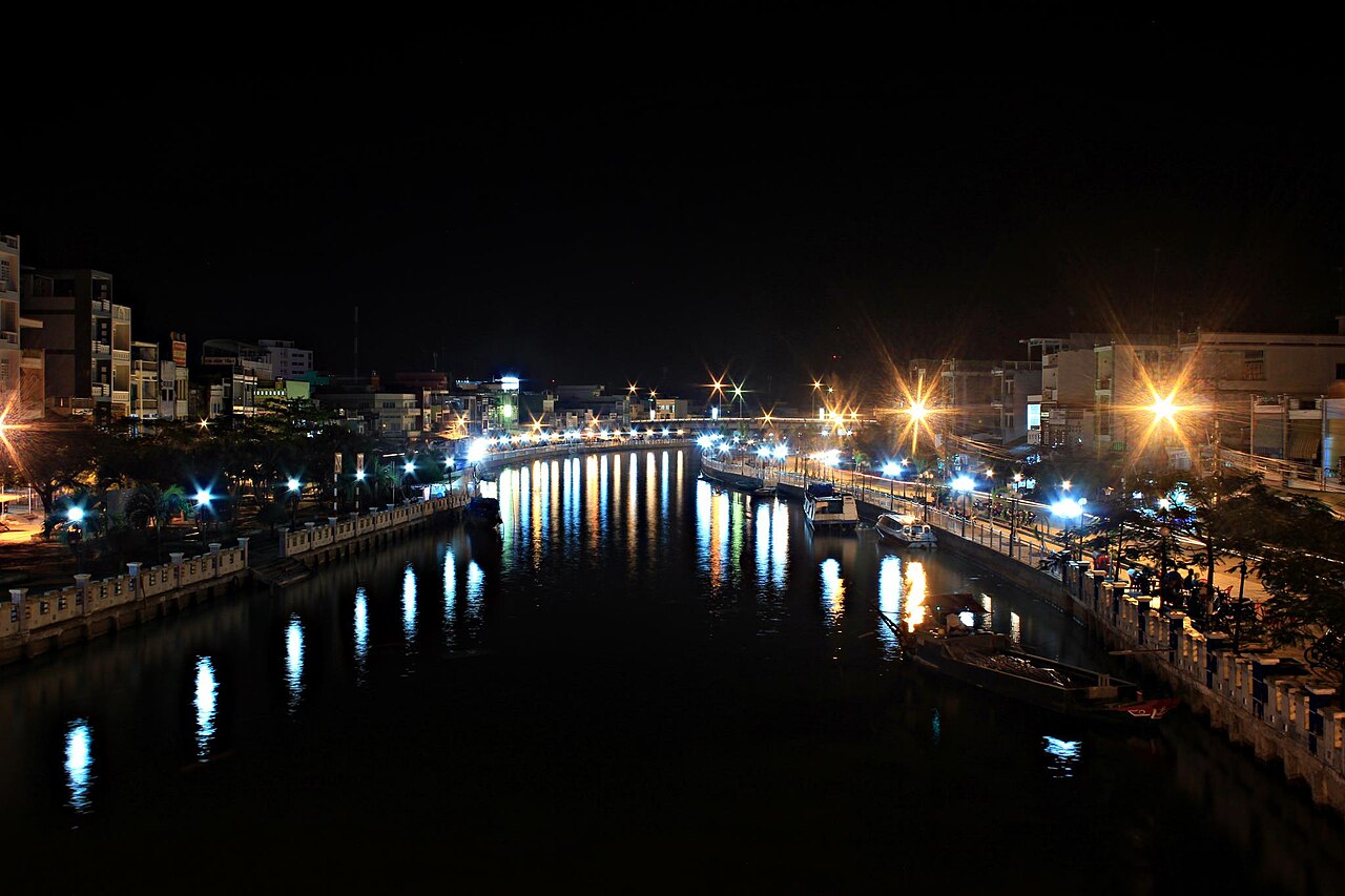
Cà Mau city is the southernmost urban centre in Vietnam, positioned on the Ca Mau Peninsula where three rivers — the Ganh Hao, the Quan Lo and the Can Lon — converge. It is a working river city rather than a curated tourist destination. Boat traffic, seafood processing and timber trade define its economic character.
The city is a staging point for the U Minh Melaleuca forest and the mangrove-fringed coastlines to the south and west. The mangrove system here is among the most extensive in Southeast Asia, and the Ca Mau Cape — the southernmost tip of the Vietnamese mainland — lies roughly 100 km south of the urban centre by road and river.
The local economy is heavily tied to shrimp aquaculture. The surrounding waterways and the city's wholesale markets reflect this, with live and processed shrimp moving through at scale.
Getting there and away
By air: Ca Mau Airport receives domestic flights, primarily from Ho Chi Minh City. Flight times are short, but schedules are limited and subject to seasonal disruption, particularly during periods of low visibility over the delta.
By road: The city is connected to Ho Chi Minh City and the wider delta by national highway. Overland journeys from Ho Chi Minh City take several hours depending on traffic and route. Express bus services operate regularly on this corridor.
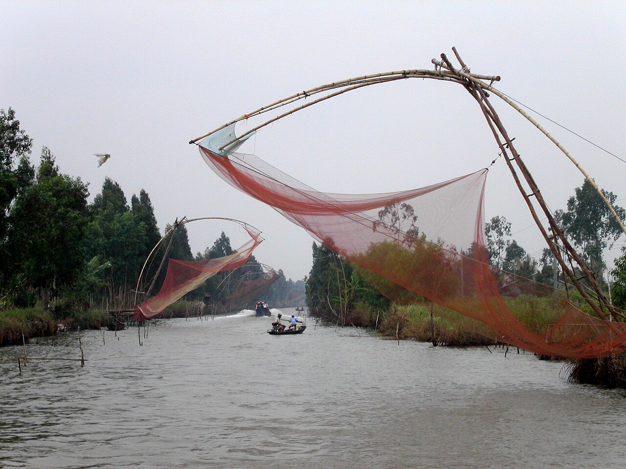
By waterway: River and canal routes remain important locally, connecting the city to smaller settlements in the surrounding wetlands. Speedboat services link Cà Mau to several other delta towns. Schedules vary considerably by season and operator.
Road travel within the peninsula can be slow; the density of canals means that roads frequently cross waterways, and ferry crossings are still common on secondary routes.
Seasons and when to visit
Cà Mau has a tropical monsoon climate with two pronounced seasons. The dry season runs roughly from November to April, bringing lower humidity, clearer skies and more navigable roads. The wet season runs from May to October, when heavy rainfall is routine, canals swell, and some lower-lying roads become impassable or are closed.
The wet season is not simply an obstacle: it is when the mangrove and melaleuca ecosystems are most actively flooded, and when freshwater fish are most abundant in the inland waterways. Birding at U Minh is often better during and just after the rains.
Typhoons and tropical depressions affect the Gulf of Thailand coastline and can reach the peninsula from August onward. Travellers planning boat excursions to coastal areas should monitor weather conditions, as services are suspended during storms.
Places and points of interest
Ca Mau floating market operates on the Ganh Hao River near the city centre. Unlike some delta markets that have become primarily tourist-facing, this one retains a working character, with wholesale trade in produce and seafood.
U Minh Ha National Park and U Minh Thuong National Park protect the largest remaining areas of melaleuca (Cajuput) forest in Vietnam. U Minh Ha is the closer of the two to the city. Both are significant habitats for freshwater crocodiles, otters and migratory waterbirds.
Dat Mui (the Ca Mau Cape) is the geographical endpoint of the Vietnamese mainland, marked by a monument and accessible by a combination of road and boat from the city. The mangrove boardwalks in the cape area allow some access into the forest edge.
The city also has a small museum covering the natural environment and the role of the Ca Mau region in the American War period, when the U Minh forest provided extensive cover for resistance forces.
Food and local character
Seafood dominates the local diet, with freshwater and brackish-water species supplementing marine catch. Cua Ca Mau — mud crab from the mangrove estuaries — is closely associated with the region and appears in various preparations: steamed, grilled, stir-fried with salt and chilli, or served with rice congee.
Bún bò Cà Mau is a local variant of the rice-vermicelli and beef noodle category, differing from the Huế original in its broth preparation and garnishes. Bánh tầm bì, rice noodles with shredded pork skin and coconut cream, appears at street stalls and is particular to the southern delta.
The city's market areas, particularly around the central market and the river landings, are the most practical places to encounter everyday local eating rather than restaurant-adapted versions of regional dishes.
What first-time visitors get wrong
Underestimating distances within the peninsula. Maps suggest the Ca Mau Cape is not far from the city; the road and river journey is considerably longer than it looks, and combining it with other stops in a single day requires careful planning.
Expecting a tourist infrastructure comparable to the upper delta. Cà Mau city does not have the guesthouse density or the English-language signage common in Can Tho or My Tho. Accommodation and transport arrangements frequently require more initiative or local assistance.
Visiting U Minh without checking access conditions. Both national parks have restricted zones, and access for visitors without a guide or prior arrangement can be limited. Entry rules have changed periodically and should be confirmed locally before travel.
Conflating administrative change with physical change. The reorganisation of July 2025 altered how the area is governed, not what exists on the ground. Cà Mau province as a geographic and cultural entity continues; the city is its centre as it has always been.
Where it is
Also known as / see also
Sources
- Cà Mau (Q25262) — Wikidata (CC0 1.0) accessed 30 August 2026
Supports: coordinates, area, population - Cà Mau — Wikipedia (CC BY-SA 4.0) accessed 30 August 2026
Supports: background
Current Last verified: 31 August 2026. Rules, fares and prices change — check the official source before acting on anything here. Report a mistake.
Picture credits (4)
Cà Mau city center, [Tycho] talk , http://shansov.net, CC BY-SA 3.0, Wikimedia Commons · Embankment - bờ kè - Cà Mau (Vietnam), Phuocteo, CC BY-SA 3.0, Wikimedia Commons · AIMAG2089, Phuocteo, CC BY-SA 3.0, Wikimedia Commons · Fishing, Cà Mau, Viet Bach from Saigon, Vietnam, CC BY 2.0, Wikimedia Commons