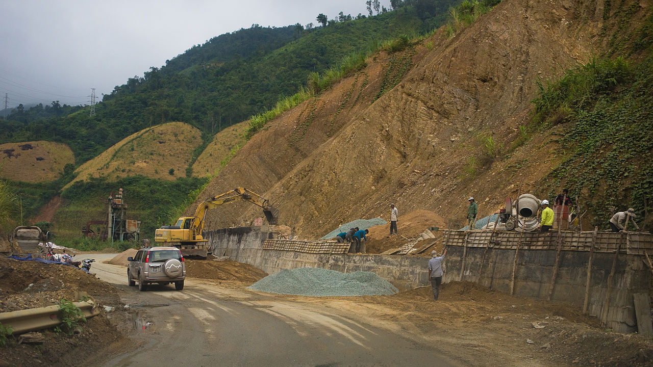
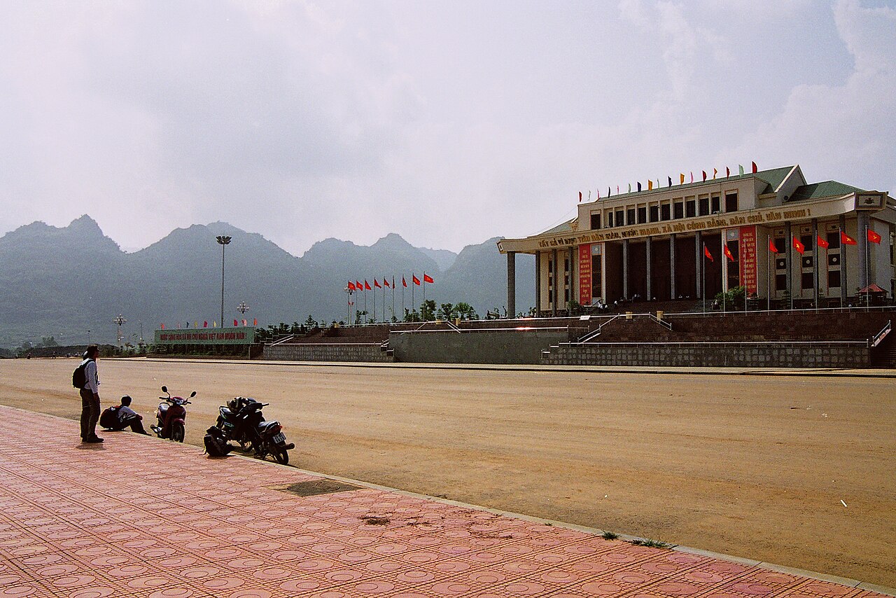
Lai Chau province sits at the western edge of the Hoang Lien Son range, bordered by China to the north, Laos to the west, and the provinces of Lao Cai and Dien Bien on its remaining flanks. The landscape is defined by deep river valleys, terraced rice fields and high peaks, including Phu Si Lung on the Chinese border. The provincial capital, also called Lai Chau, is a modest town rebuilt after the original settlement was submerged by the Son La reservoir in the early 2000s.
What Lai Chau is known for
Lai Chau is known above all for its ethnic diversity and its relative inaccessibility. The province is home to more than twenty ethnic groups, including the Thai, H'mong, Dao, Ha Nhi, La Hu, Lolo and Si La peoples, several of whom are found in significant numbers nowhere else in Vietnam. Traditional dress, weaving, and village festivals remain visible features of daily life rather than staged performances, partly because mass tourism infrastructure has developed more slowly here than in Lao Cai to the east.
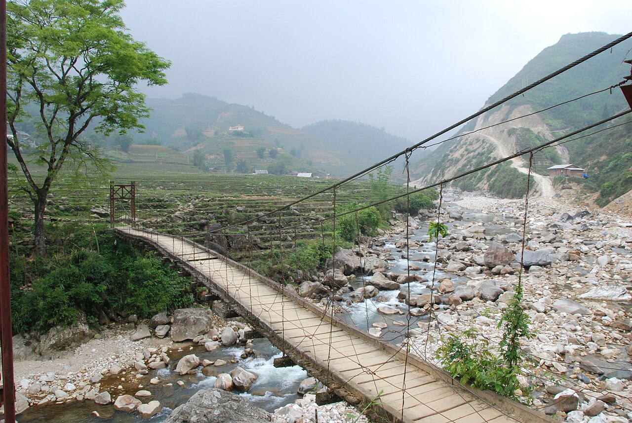
The mountain terrain produces distinctive landscapes: high passes, rice terraces carved into steep hillsides, and river gorges fed by the Da and Nam Na rivers. The Hoang Lien Son range, which forms the province's eastern spine, contains some of the highest peaks in Vietnam. Trekking between villages, homestays with ethnic minority families, and motorbike touring along mountain roads are the principal activities that draw travellers here.
What there is to see and do
The area around Sin Ho plateau is one of the most visited sub-regions, a high-altitude grassland accessible by a steep and winding road, cooler than the valleys and home to several H'mong and Dao communities. The plateau is known for its weekly market, which draws villagers from surrounding hills to trade produce and livestock.
Muong Te, in the far northwest near the Laos border, is the most remote of the province's main settlements and the base for reaching Ha Nhi and La Hu villages. Road conditions on this route can be difficult, particularly after rain.
The Nam Na river valley offers scenery along its terraced banks, and the road north toward the Chinese border passes through Pa So and the high-altitude village clusters of the Lolo people. Trekking here requires a local guide both for navigation and, in some areas, for permit compliance near the border zone. The provincial capital itself has limited attractions but serves as a practical base with fuel, banking and accommodation.
Getting there and away
Lai Chau has no commercial airport; the nearest functioning airports are at Dien Bien Phu in Dien Bien to the southwest, and at Lao Cai city in Lao Cai to the east. Both connections involve onward road travel.
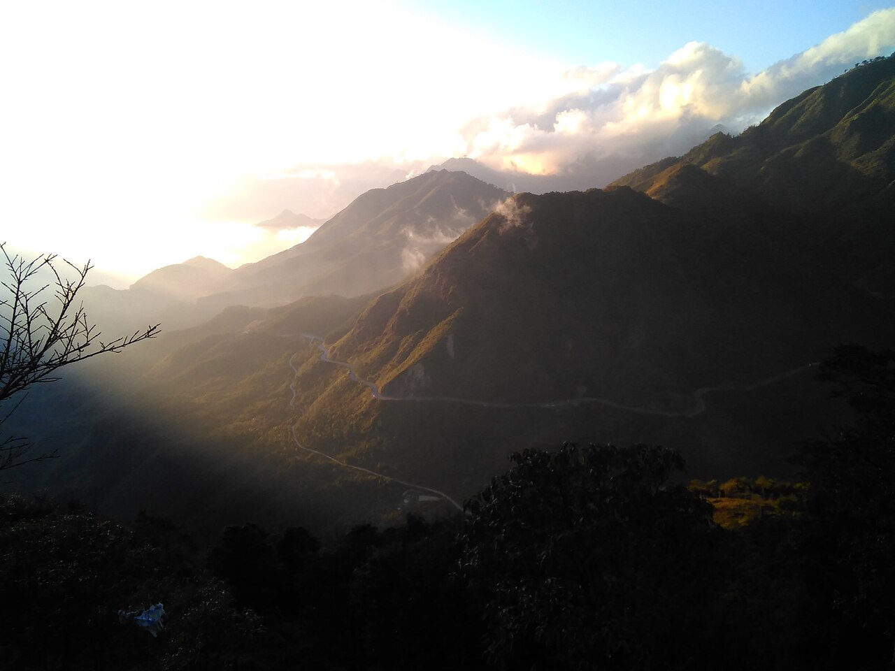
The main road approaches are National Highway 4D from Sapa and Lao Cai — a scenic mountain route crossing the O Quy Ho pass — and National Highway 12 from Dien Bien Phu. Both are paved but involve extended sections of sharp bends, steep gradients and occasional landslip damage, particularly after heavy rain. Journey times vary considerably with conditions.
Open-tour bus services link the provincial capital to Hanoi, Sapa and Dien Bien Phu. Hired motorbike or private car allows more flexibility for reaching outlying areas. There is no rail connection. Travellers continuing south toward Dien Bien Phu or looping back east toward Y Ty in Lao Cai typically combine Lai Chau into a wider northwest circuit.
When to go
The northwest highland climate follows a broad pattern: a dry, cooler season from roughly October to March, and a wet season from April through September, with the heaviest rainfall in July and August. For more detail on regional weather patterns, see When to go: weather by region.
The dry season is generally preferred for road travel, as the risk of landslides and washed-out sections is lower, and visibility from mountain passes is better. Rice terraces are at their most photogenic during the transplanting season (May to June, when fields are flooded and green) and at harvest (September to October, when the terraces turn gold before cutting). The wet season brings leeches on jungle paths and road disruption, but also waterfalls at full volume and fewer other travellers.
Temperatures at higher elevations can drop sharply at night even in the dry season; frost and occasionally snow are possible on the highest passes in January and February. The valley towns remain mild year-round.
Where to stay
Accommodation in Lai Chau is largely concentrated in the provincial capital, where guesthouses and small hotels of a functional standard are available. Advance booking is advisable during national holidays and the harvest season. Options at outlying locations such as Sin Ho and Muong Te are limited to basic guesthouses and, increasingly, organised homestays in ethnic minority villages.
Homestay programmes, when properly organised through a local operator or the provincial tourism office, provide closer contact with village life, meals cooked by the host family, and an economic contribution that stays within the community. Standards vary widely; expect shared bathroom facilities and simple food rather than traveller comforts. The contrast with the more developed homestay infrastructure around Sapa is marked.
Common mistakes and practical notes
Underestimating road times. Maps suggest distances that look manageable; the reality of mountain passes, road surface and occasional roadworks means that 100 kilometres can take four to six hours or more. Build slack into any itinerary.
Border zone permits. Parts of Lai Chau adjacent to the Chinese and Lao borders are restricted areas. Foreign nationals require a border zone permit to enter these areas; this is separate from a standard Vietnamese visa. Permit requirements and the zones they apply to can change, so confirming with a local operator or the provincial authorities before travel is advisable. For visa information, the official source is the Vietnamese immigration authority; see also Vietnam e-visa.
Cash dependency. ATM coverage outside the provincial capital is sparse to non-existent. See Money, ATMs and cards for guidance on carrying sufficient cash for rural travel. Mobile data coverage is inconsistent in the valleys; see SIM cards and eSIMs. Road conditions and remoteness also make this province less suitable for solo travellers with no Viet
월별 기후
장기 평균값이며 예보가 아닙니다. 기준 기간: 2015–2024. 출처: ERA5 reanalysis (Copernicus) via the Open-Meteo archive API.
Show the numbers
| 월 | 최고 기온 °C | 최저 기온(°C) | 강수량(mm) | 강수일수 | Humidity % |
|---|---|---|---|---|---|
| January | 13.3 | 5.8 | 86 | 11 | 84 |
| February | 15.4 | 7.0 | 64 | 8 | 79 |
| March | 19.9 | 10.3 | 117 | 12 | 76 |
| April | 22.2 | 12.8 | 167 | 16 | 75 |
| May | 23.0 | 15.0 | 269 | 24 | 82 |
| June | 22.3 | 15.7 | 419 | 29 | 90 |
| July | 22.5 | 15.9 | 455 | 28 | 89 |
| August | 22.1 | 15.8 | 509 | 29 | 90 |
| September | 22.1 | 15.2 | 215 | 22 | 86 |
| October | 20.3 | 13.1 | 94 | 14 | 81 |
| November | 18.0 | 10.3 | 62 | 9 | 80 |
| December | 14.1 | 6.5 | 66 | 8 | 81 |
Where it is
Also known as / see also
주변
참조 페이지
출처 목록
- ERA5 climate normals — Copernicus / Open-Meteo (CC BY 4.0) 접근됨 30 August 2026
Supports: monthly temperature and rainfall normals, and elevation - Map data from OpenStreetMap contributors, ODbL 1.0 — OpenStreetMap (ODbL 1.0) 접근됨 29 August 2026
Supports: carried over from the first build - Lai Chau (Q36409) — Wikidata (CC0 1.0) 접근됨 30 August 2026
Supports: coordinates, area, population - Lai Chau — Wikipedia (CC BY-SA 4.0) 접근됨 30 August 2026
Supports: background
Current 마지막 확인: 29 August 2026. Rules, fares and prices change — check the official source before acting on anything here. Report a mistake.
Picture credits (5)
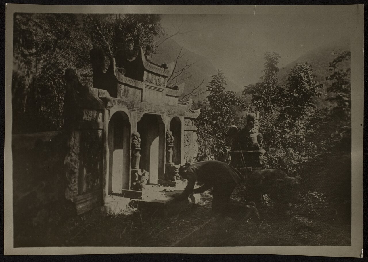
Lai Châu Province road construction, [Tycho] talk , http://shansov.net, CC BY-SA 3.0, Wikimedia Commons · Laichaubridge, yarra64, CC BY 2.0, Wikimedia Commons · Laichautown, Tannematica, CC BY 2.0, Wikimedia Commons · Sunset on O Quy Ho pass, Dansapa, CC BY-SA 4.0, Wikimedia Commons · PP0228047 Tombeau de Deo Van Tré, Unknown photographer, Public domain, Wikimedia Commons