
Red River DeltaĐồng bằng sông Hồng
Vietnam's northern lowland core: a densely farmed, historically rich river delta containing Hanoi and some of the country's oldest settlements.
What the Red River Delta is
The Red River Delta (Vietnamese: Đồng bằng sông Hồng) is the alluvial plain built up over millennia by the Red River (sông Hồng) and its principal tributaries, including the Đuống, Đáy, and Thái Bình rivers. It covers roughly 15,000 square kilometres in northern Vietnam and is one of the two great deltas on which Vietnamese civilisation is based, the other being the Mekong Delta in the south.
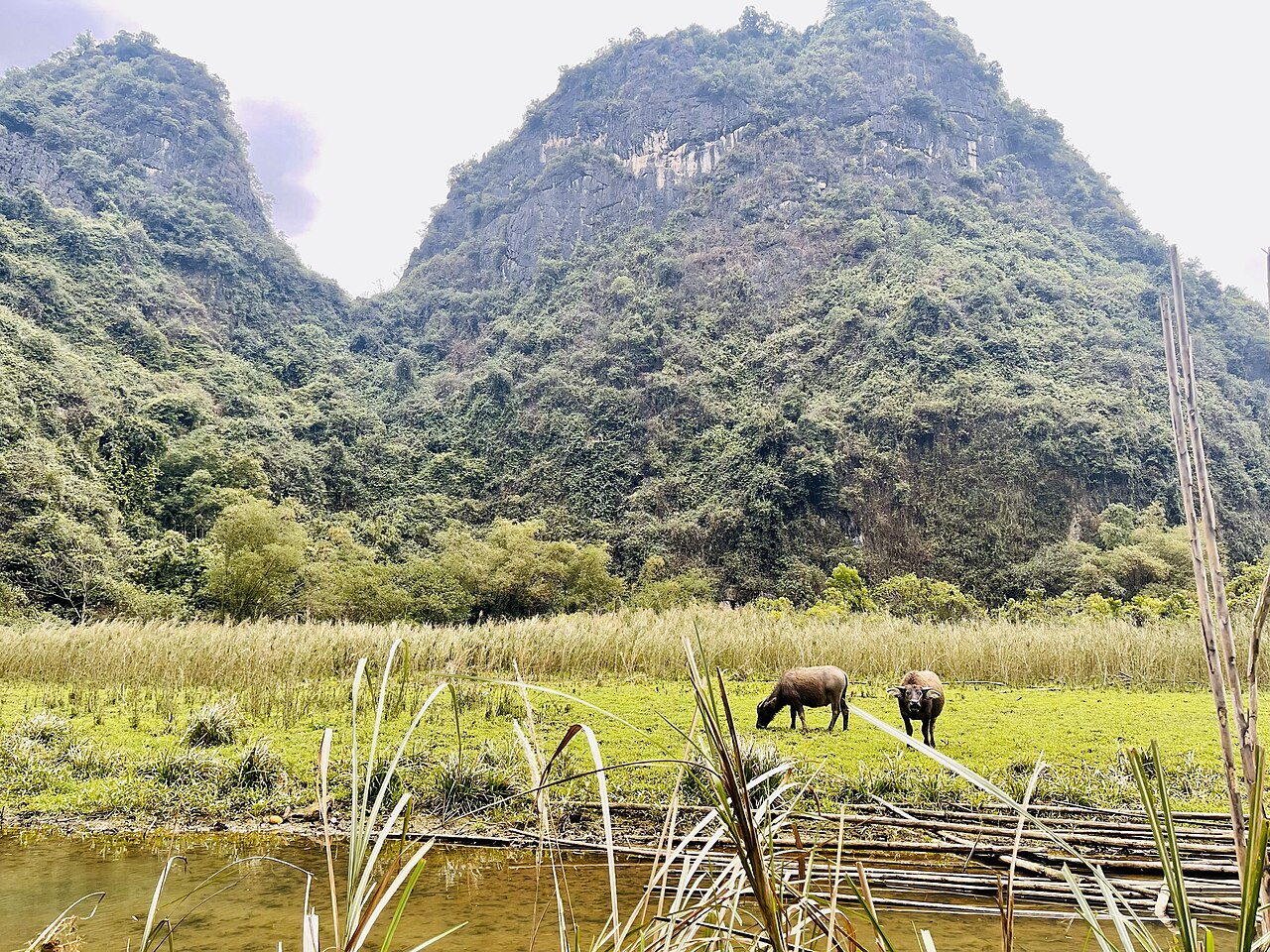
The landscape is characterised by extremely flat, intensively cultivated land divided by a dense network of dykes, canals, and embankments that have been built and maintained for well over a thousand years. Elevation rarely exceeds a few metres above sea level except where limestone karst outcrops punctuate the plain, most famously at Hoa Lư and Tràng An in the area historically associated with Ninh Bình. The delta's fertility supports some of the highest rural population densities in Southeast Asia, with villages packed tightly across the plain and separated by paddy fields rather than open countryside.
The region is not an administrative unit; it is a geographical and cultural designation. As of the 2025 provincial consolidation, the territory it covers falls within a set of provinces whose boundaries were redrawn on 1 July 2025.
Historical and cultural significance
The Red River Delta is the cradle of the Kinh (Viet) ethnic majority and the site of Vietnam's earliest recorded states. The Hùng kings, whose reign Vietnamese tradition places in the third millennium BCE, are associated with Phú Thọ at the delta's northwestern edge. Cổ Loa, near present-day Hanoi, served as the capital of the Âu Lạc kingdom from around the third century BCE and its earthwork citadel remains partially visible.
Thăng Long, the city founded in 1010 by Emperor Lý Thái Tổ and later renamed Hanoi, has functioned as the political centre of the Vietnamese state for most of the past millennium. The Thăng Long Imperial Citadel, a UNESCO World Heritage Site, sits at the heart of modern Hanoi and preserves layers of construction spanning the Lý, Trần, Lê, and Nguyễn dynasties.
Beyond Hanoi, the delta contains dozens of significant communal houses (đình), Buddhist pagodas, and Confucian temples that reflect the region's deep engagement with Chinese administrative and religious forms alongside indigenous traditions. The Perfume Pagoda complex, built into limestone cliffs southwest of Hanoi, draws the largest annual pilgrimage in northern Vietnam. Bút Tháp Pagoda in the area formerly known as Bắc Ninh province is considered a masterwork of seventeenth-century Vietnamese architecture.
Landscape, agriculture, and villages
Rice cultivation defines the visual character of the delta. Two main crops are grown annually, the fifth-month harvest (vụ chiêm) and the tenth-month harvest (vụ mùa), with a third vegetable or maize crop common on higher or drier plots. The colour of the landscape shifts sharply between the bright green of young seedlings, the gold of ripening grain, and the brown of flooded and prepared fields.
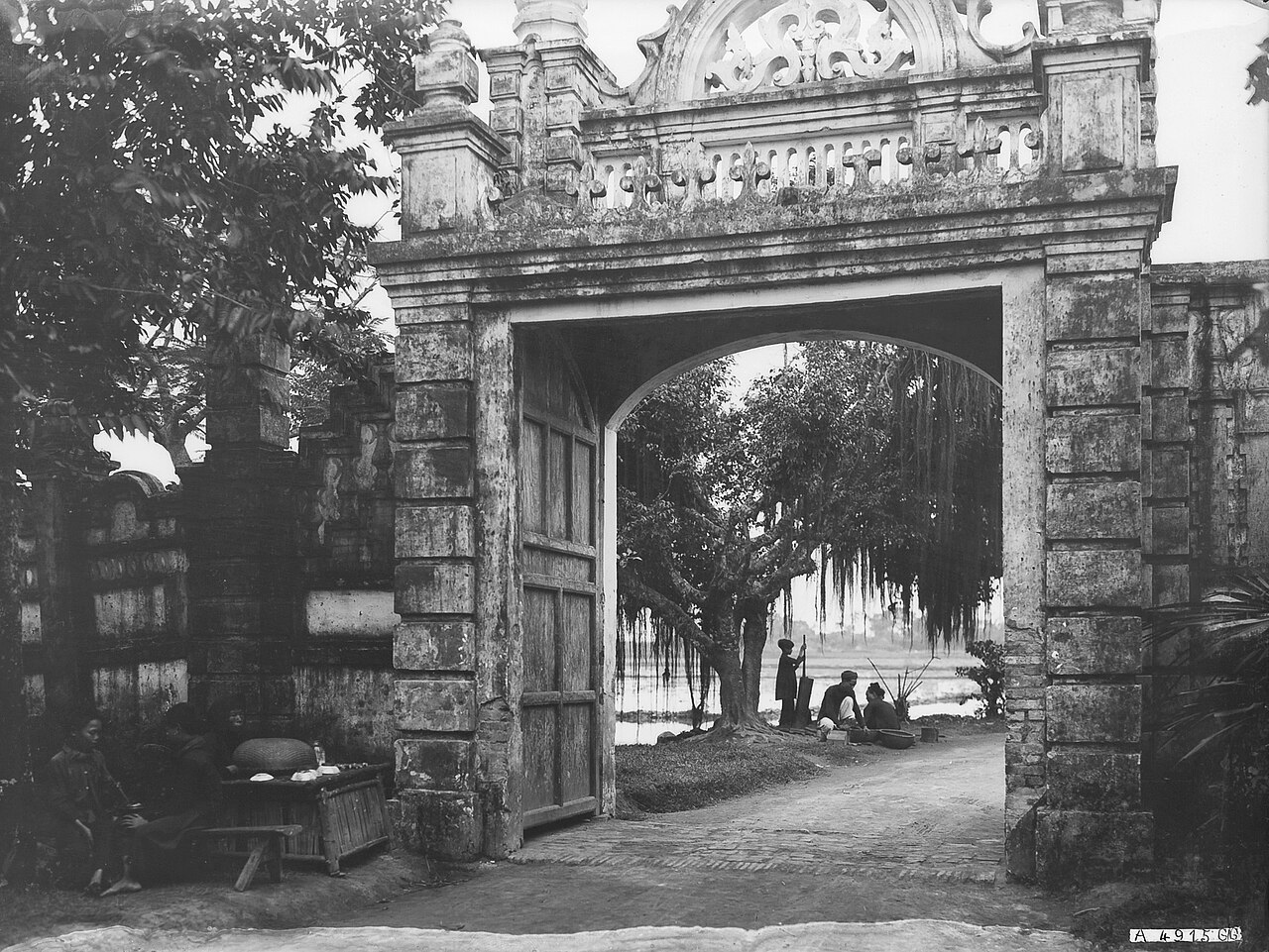
Traditional villages in the delta are known as làng and historically enclosed by bamboo hedges, creating self-contained social units with their own communal houses and patron deity cults. The internal layout of older villages, with winding lanes rather than grid streets, reflects this history of enclosure. Many villages specialised in particular crafts: Bát Tràng, on the Red River east of Hanoi's old centre, has produced ceramic ware since at least the fifteenth century; Vạn Phúc, southwest of Hanoi, is associated with silk weaving; Đồng Kỵ, in the area of former Bắc Ninh province, with lacquered furniture.
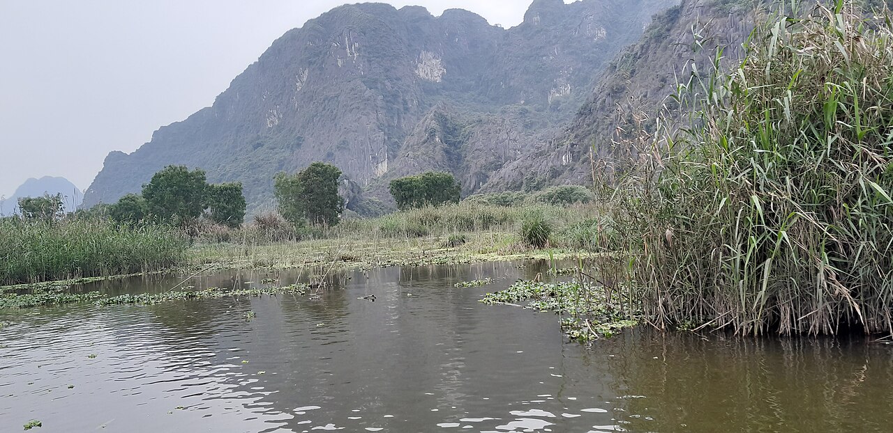
Limestone karst rises sharply from the plain in places, most dramatically in the Tràng An landscape complex near the former Ninh Bình provincial capital, which is jointly designated a UNESCO World Heritage Site for its geology, ecology, and archaeological record of continuous human habitation.
Climate and when to visit
The Red River Delta has a humid subtropical climate with four loosely defined seasons, which distinguishes it clearly from the more uniformly tropical south. Winters, roughly November to March, bring cool and often overcast conditions with persistent drizzle known locally as mưa phùn (literally 'dust rain'). Temperatures can fall below 10 °C in January and February, occasionally lower during cold snaps, and the grey skies can persist for weeks.
Spring, from approximately March to April, brings warming temperatures but also high humidity and continued cloud cover. The annual Perfume Pagoda pilgrimage season runs through this period. Summer, May to September, is hot and humid, with the heaviest rainfall concentrated in July and August. Typhoons and tropical depressions occasionally affect the region, most seriously in late summer and early autumn, bringing flooding that can inundate low-lying areas and disrupt road travel.
October and November are widely considered the most pleasant months: temperatures moderate, skies clear more reliably, and the rice harvest turns the fields gold. That said, the delta's cultural and historical sites function year-round, and the cooler winter months are manageable with appropriate clothing.
Getting there and moving around
Nội Bài International Airport, north of Hanoi's urban core, is the primary international gateway for the region and one of Vietnam's two busiest airports. It handles direct flights from across Asia and several European hubs. A second airport, Cát Bi, serves the port city of Hải Phòng on the delta's eastern edge and operates domestic and some regional routes.
The national rail network radiates from Hanoi's Ga Hà Nội station. The main northbound line runs toward Lào Cai (for Sapa) and the Chinese border; lines also extend southeast toward Hải Phòng and south along the coast toward Đà Nẵng and beyond. Rail is practical for reaching points along these corridors but does not serve most of the delta's interior.
An extensive network of national highways and expressways now connects Hanoi to provincial centres across the delta. Road travel by bus, hired car, or motorbike is the dominant mode for reaching sites not on rail lines. The delta's flat terrain makes cycling and motorbike travel relatively straightforward compared with the northern highlands, though traffic density around Hanoi and major towns is high.
Within Hanoi, the urban metro system (the Cát Linh–Hà Đông line and its extensions) provides public rail transit on a limited number of corridors, supplemented by buses and ride-hailing services.
Things to see and do
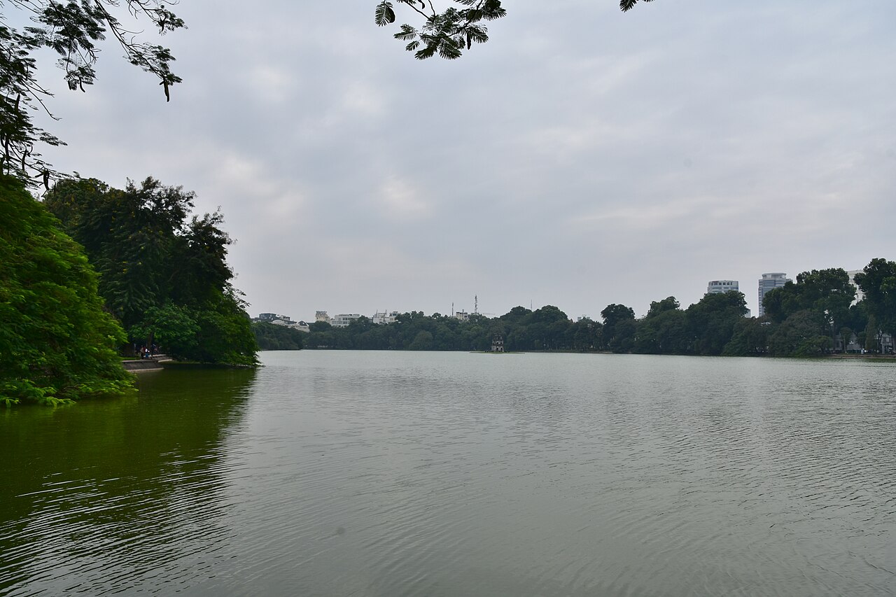
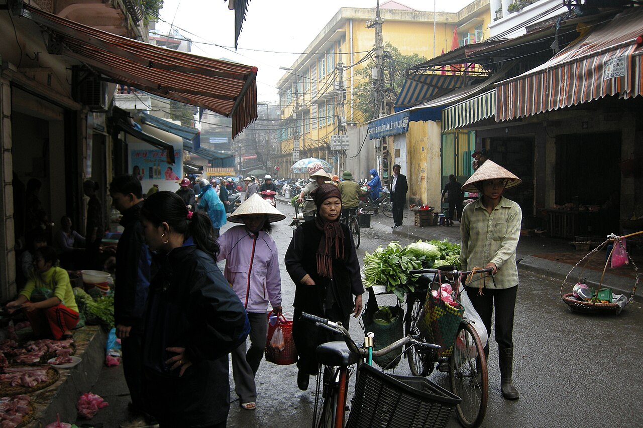
Hanoi itself is the focal point for most visitors: the Old Quarter with its guild-street layout, the Hoan Kiem Lake area, the Temple of Literature (Văn Miếu), the Ho Chi Minh Mausoleum complex, the Vietnam Museum of Ethnology, and the Thăng Long Imperial Citadel together represent centuries of urban and political history in a compact area.
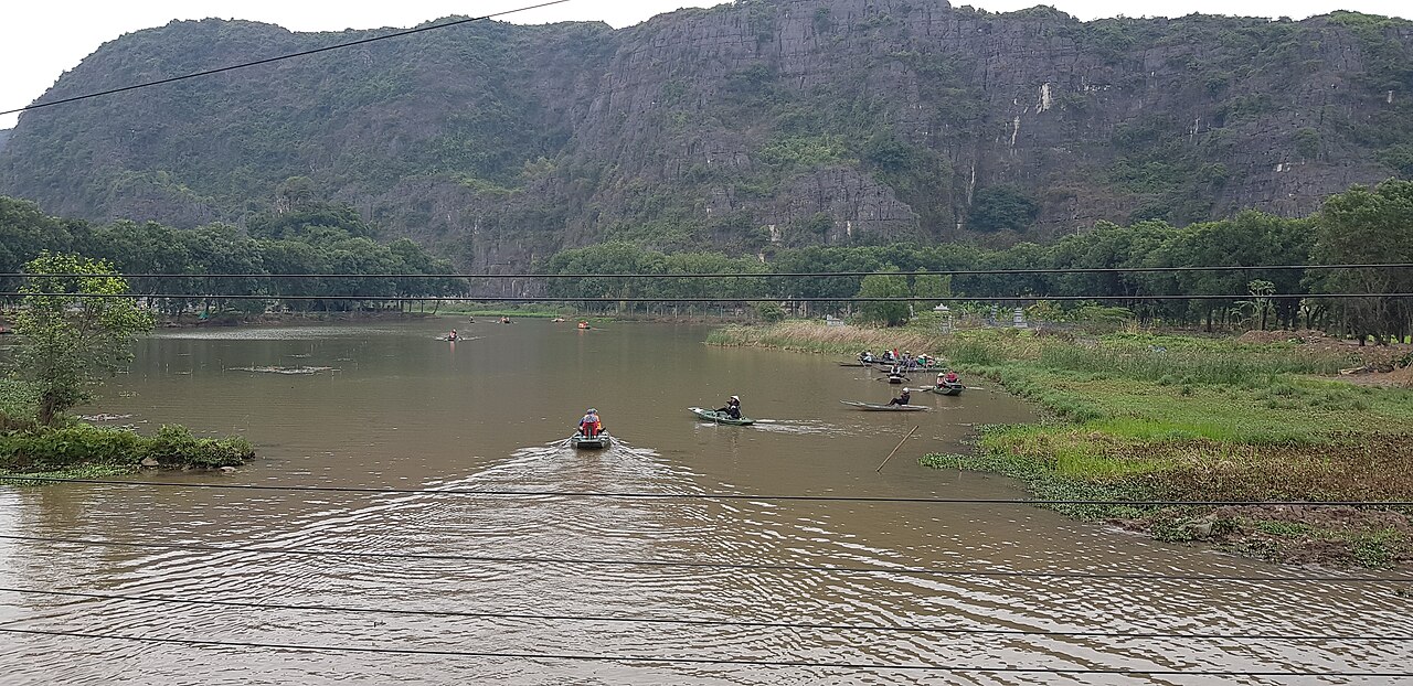
Beyond Hanoi, the Tràng An landscape complex and the associated Hoa Lư ancient capital, the Bích Động cave pagodas, and the Tam Cốc river gorge draw visitors interested in landscape and early Vietnamese statehood. These sites lie roughly 90 kilometres south of Hanoi.
Craft village visits are a distinct category of interest. Bát Tràng ceramics village, accessible by road or river from Hanoi, has workshops open to visitors and a large retail market. The area historically associated with Bắc Ninh province is the heartland of quan họ folk singing, a UNESCO Intangible Cultural Heritage, and festivals featuring this antiphonal call-and-response tradition occur in spring, particularly around Lim Hill and associated communal houses.
Festivals tied to the agricultural and lunar calendar are numerous throughout the delta. The Đống Đa Festival in Hanoi commemorates the 1789 defeat of Qing Chinese forces by Emperor Quang Trung and takes place on the fifth day of the first lunar month.
Common misunderstandings
Treating the delta as only Hanoi. The region extends well beyond the capital and contains distinct landscapes, cities, and cultural traditions. Hải Phòng is a major industrial port city with its own character; the Ninh Bình karst zone is geologically and historically quite different from the flat agricultural plain; the craft village network is widespread and largely off standard tourist itineraries.
Underestimating winter cold. Visitors arriving from tropical climates or from southern Vietnam in December, January, or February sometimes find the delta's damp cold more uncomfortable than anticipated. Lightweight tropical clothing is insufficient. The cold is not extreme by temperate standards but the combination of humidity, wind, and unheated accommodation can be significant.
Assuming easy flooding is rare. Parts of the delta, particularly lower-lying areas outside the main dyke system, flood regularly during heavy summer rain. This is a managed and expected feature of delta life, not an exceptional event, but it can affect road access and the appearance of certain areas.
Confusing the administrative structure with the geographical region. Since 1 July 2025, Vietnam has reorganised its provinces and abolished the district tier. The Red River Delta as a geographical and cultural region has not changed, but provincial boundaries and names within it have been updated. Former province names seen on older maps or signage may no longer correspond to current administrative divisions.
Where to go in the Red River Delta
6 場所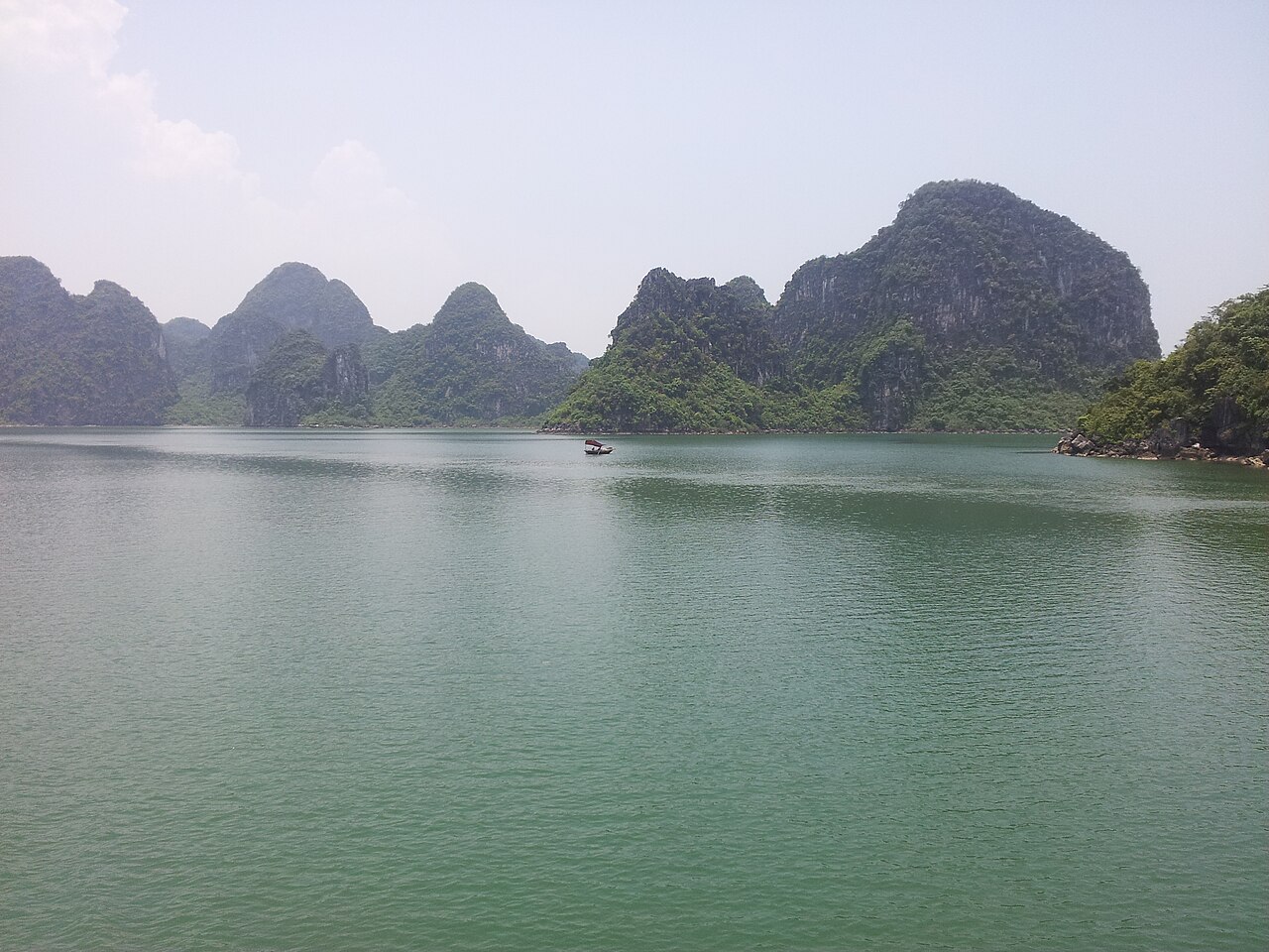 Island
Cat Ba IslandĐảo Cát Bà
Lan Ha Bay, climbing, national park, quieter Ha Long alternative
 Destination
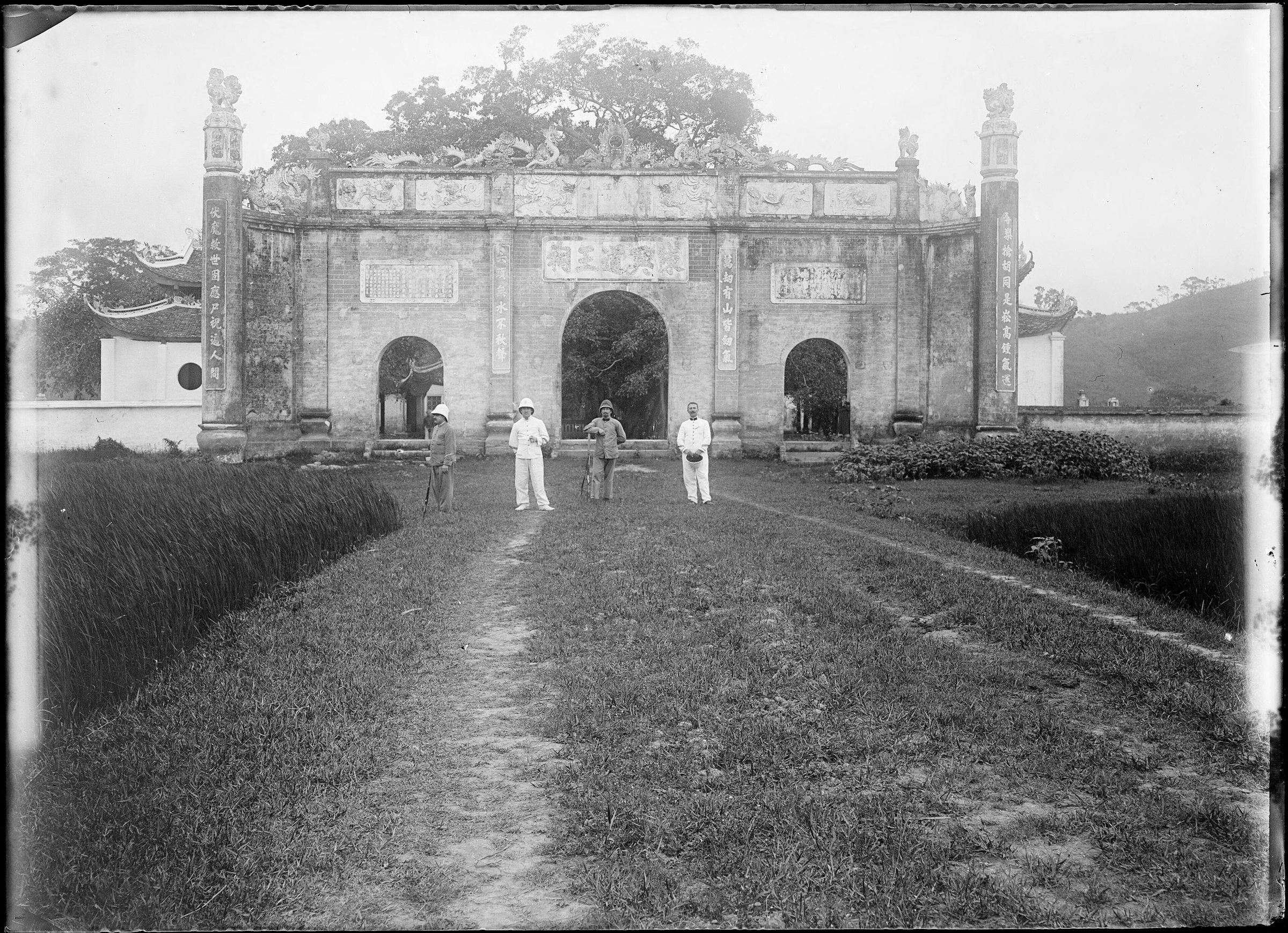
Con Son and Kiep BacCôn Sơn – Kiếp Bạc
Tran Hung Dao temple complex and Nguyen Trai's retreat
 National Park
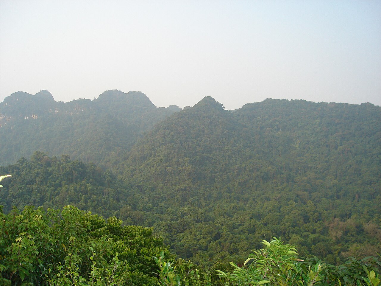
Cuc Phuong National ParkVườn quốc gia Cúc Phương
Vietnam's first national park, primate rescue centre, ancient trees
 Destination
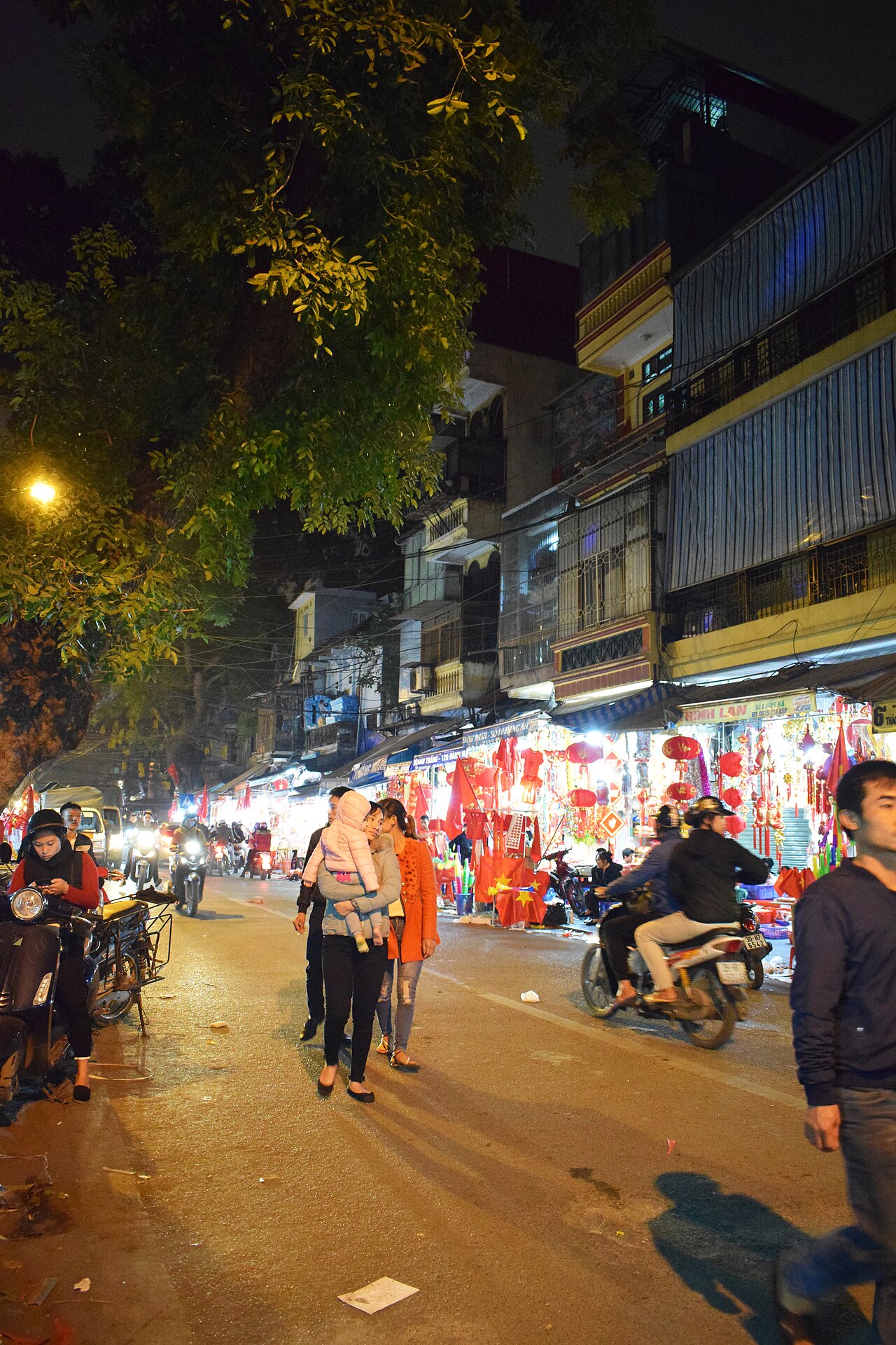
Hanoi Old QuarterPhố cổ Hà Nội
36 guild streets, street food, Hoan Kiem lake
 Destination
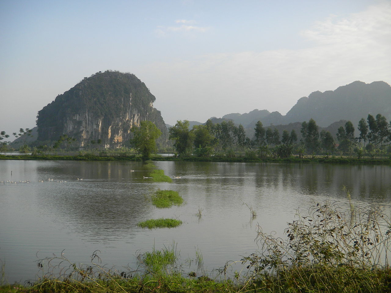
Ninh Binh and Tam CocNinh Bình – Tam Cốc
Inland karst landscape, sampan rowing, Trang An and Hoa Lu
 Destination
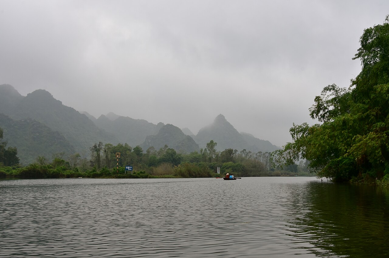
Perfume PagodaChùa Hương
Cave temple complex reached by rowing boat; major spring pilgrimage
The provincial units today
What merged into what →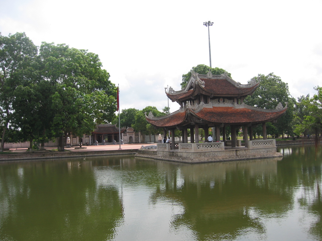 Province
Bac NinhBắc Ninh
One of Vietnam's 34 provincial-level units, enlarged on 1 July 2025.
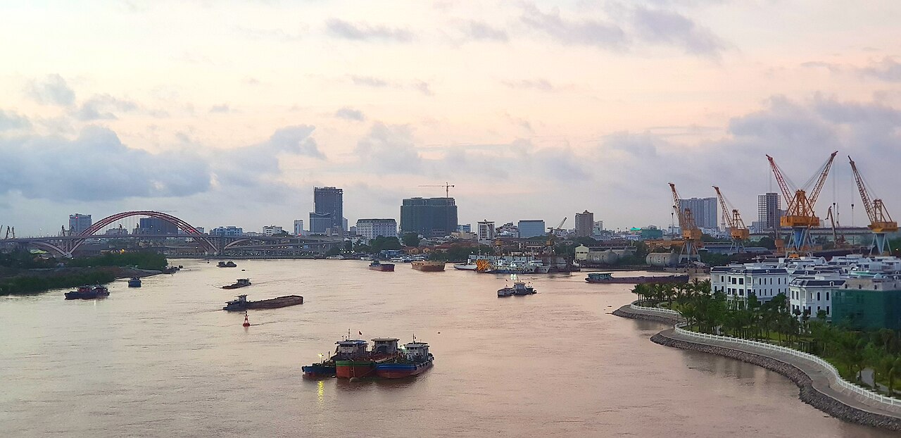 Municipality
Hai PhongHải Phòng
One of Vietnam's 34 provincial-level units, enlarged on 1 July 2025.
 Municipality
HanoiHà Nội
One of Vietnam's 34 provincial-level units, unchanged by the 2025 reorganisation.
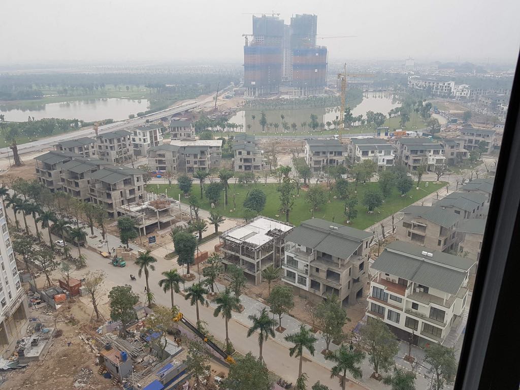 Province
Hung YenHưng Yên
One of Vietnam's 34 provincial-level units, enlarged on 1 July 2025.
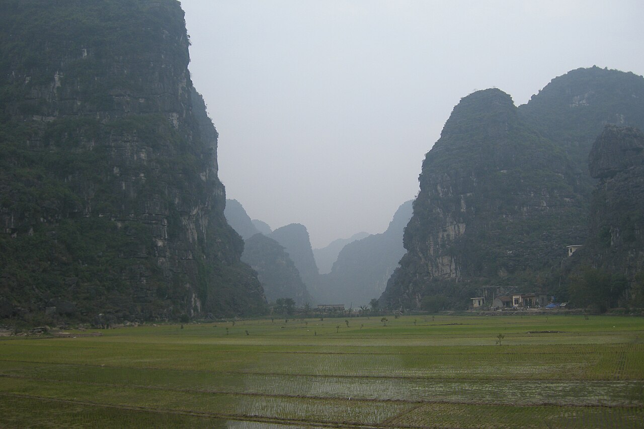 Province
Ninh BinhNinh Bình
One of Vietnam's 34 provincial-level units, enlarged on 1 July 2025.
旧省
Merged away in 2025 and kept as pages, because maps, guidebooks and booking sites still use these names.
 旧単位
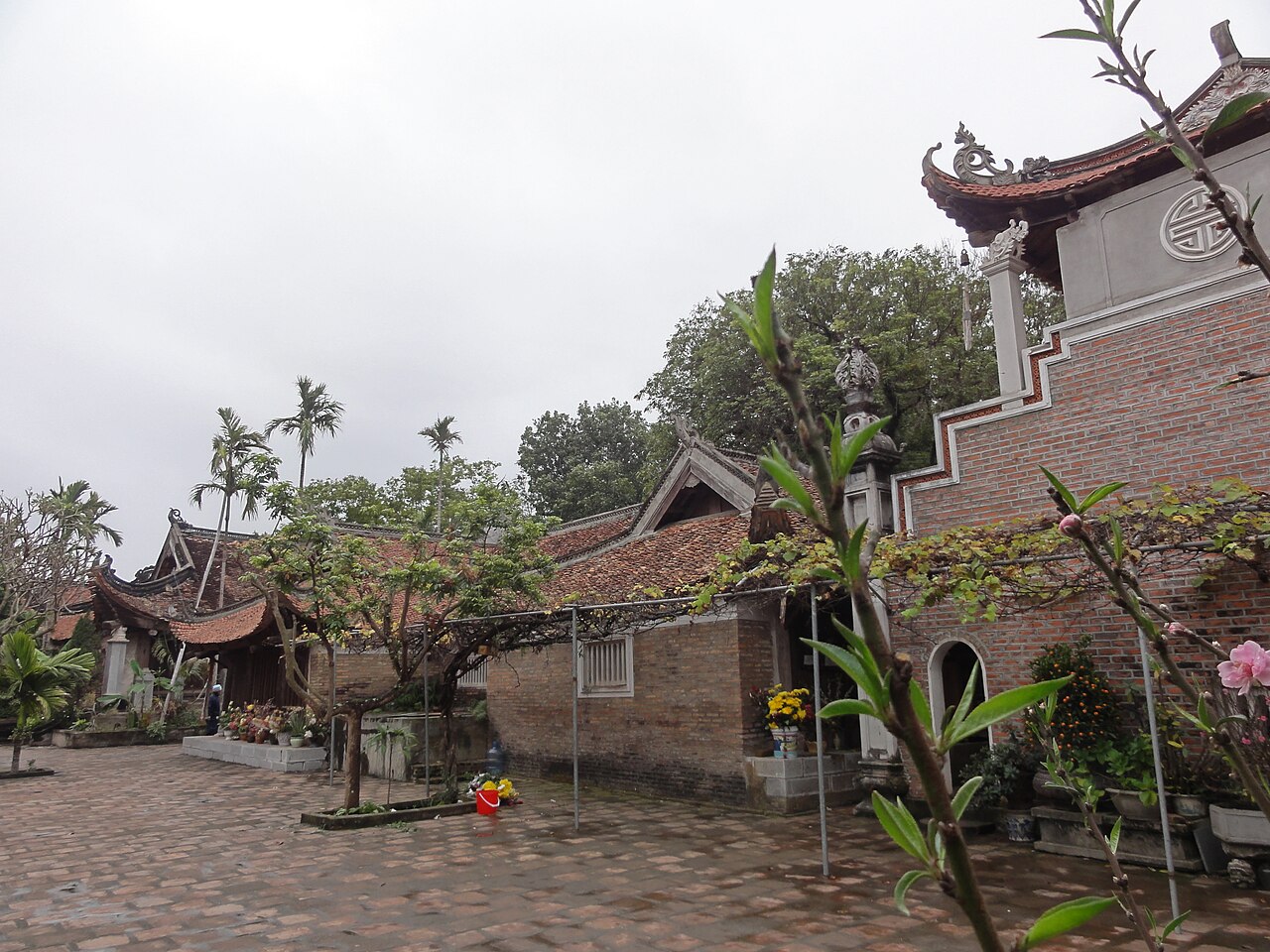
Bac GiangBắc Giang
A province of Vietnam until 1 July 2025, when it was merged into Bac Ninh.
 旧単位
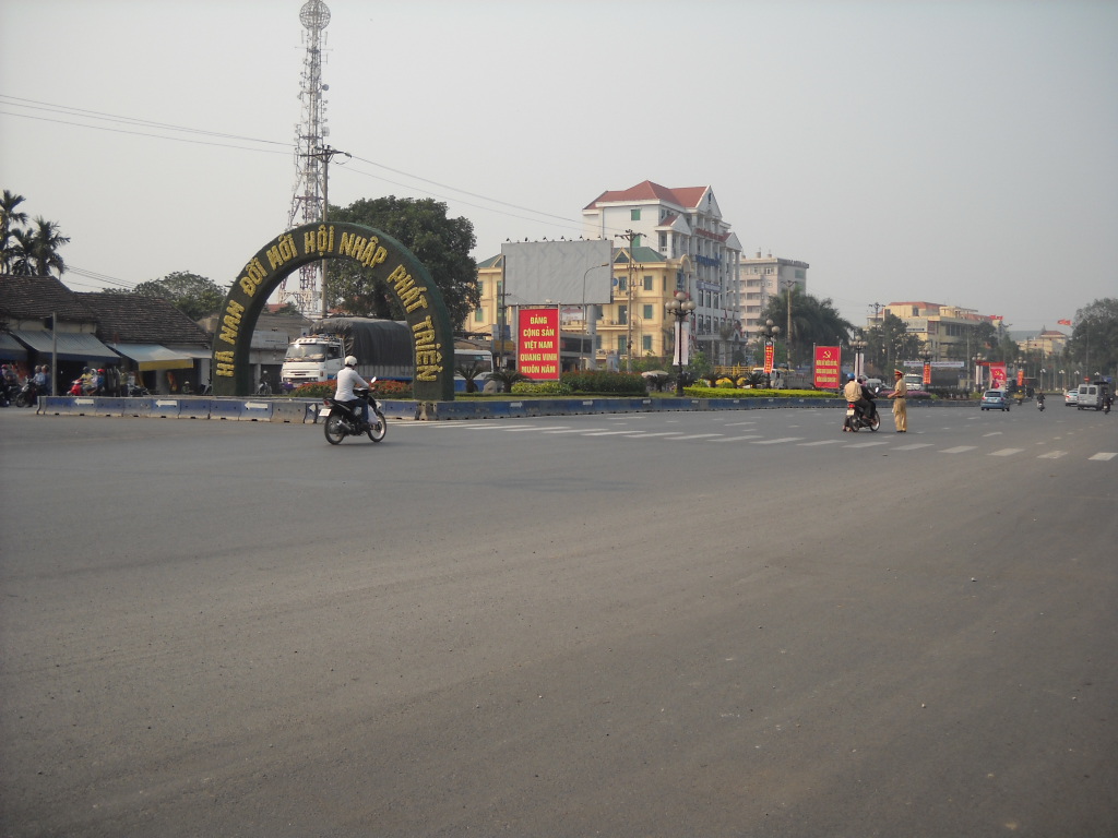
Ha NamHà Nam
A province of Vietnam until 1 July 2025, when it was merged into Ninh Binh.
 旧単位
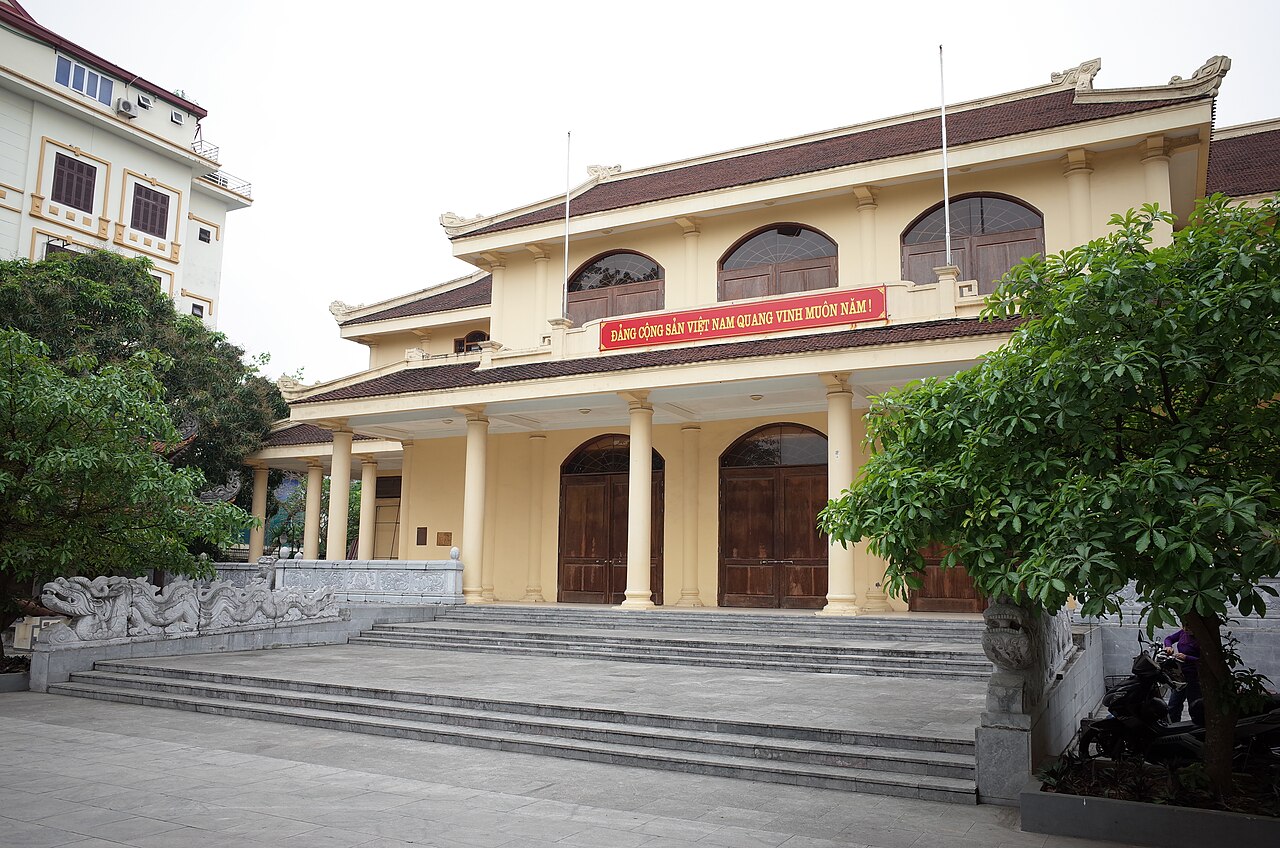
Hai DuongHải Dương
A province of Vietnam until 1 July 2025, when it was merged into Hai Phong.
 旧単位
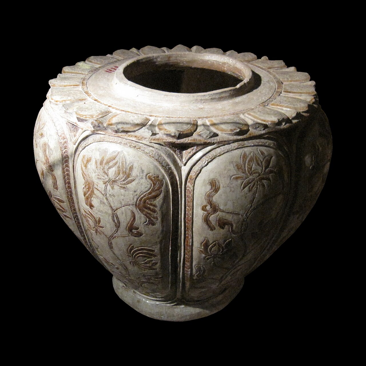
Nam DinhNam Định
A province of Vietnam until 1 July 2025, when it was merged into Ninh Binh.
 旧単位
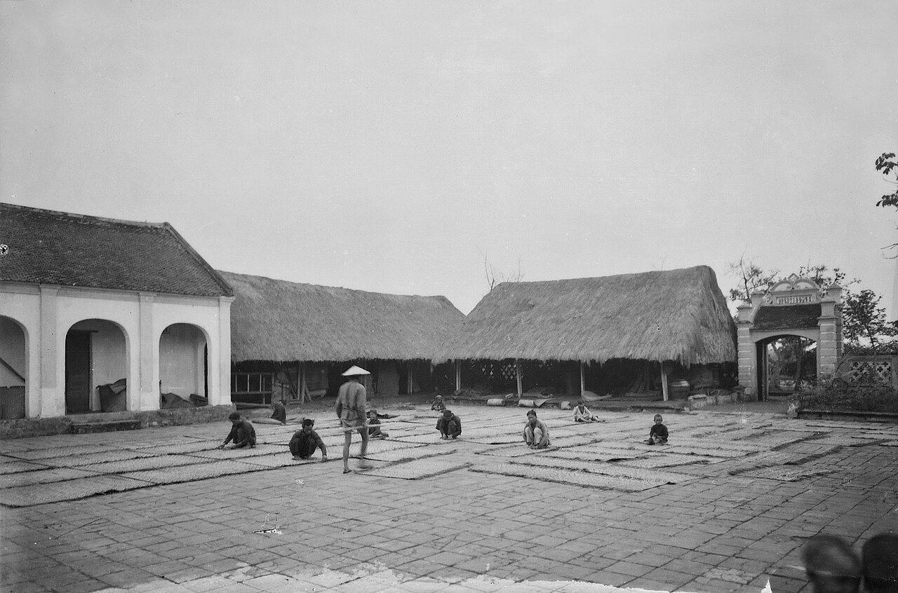
Thai BinhThái Bình
A province of Vietnam until 1 July 2025, when it was merged into Hung Yen.
 旧単位
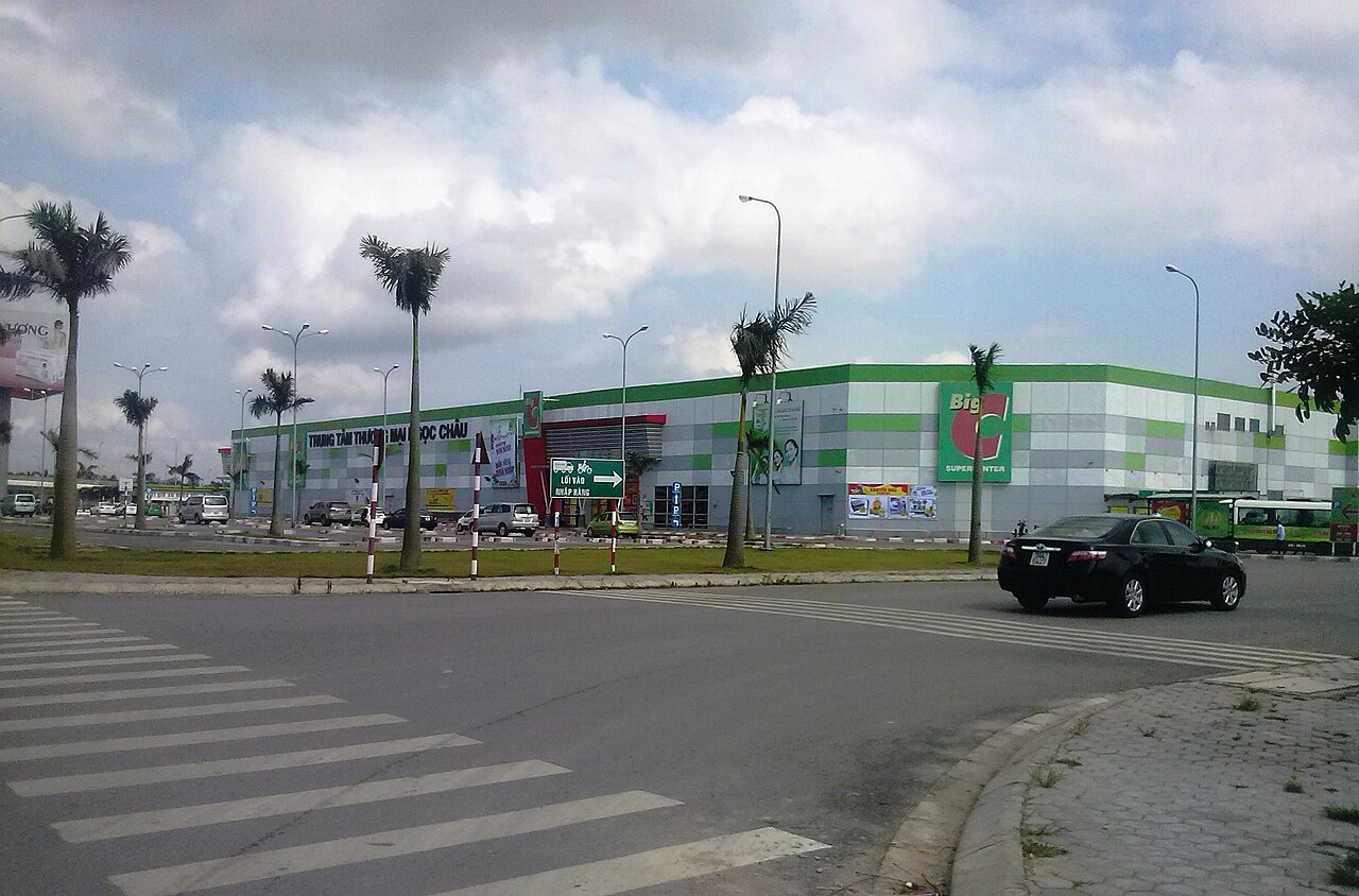
Hải Dương
Former provincial city and urban centre of Hải Dương province, absorbed into the…
 旧単位
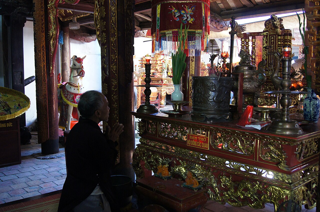
Nam Định
Former provincial city in the Red River Delta, known for its textile past, Catholic…
 旧単位
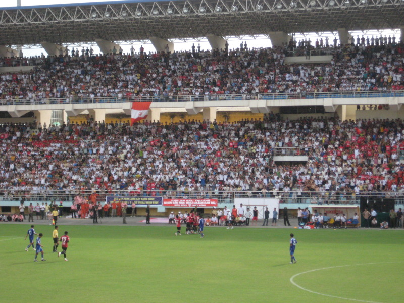
Ninh Bình CityNinh Bình
Former provincial capital of Ninh Bình, absorbed into the merged province on 1 July 2025…
 旧単位
Thái Bình
Former provincial city of Thái Bình, now administered as part of the merged Thái Bình…
Picture credits (27)
Lying Dragon (Unsplash), Eila Lifflander 3ilaliff, CC0, Wikimedia Commons · Hanoi, Vietnam, Sunset at Hoan Kiem Lake, Vyacheslav Argenberg, CC BY 4.0, Wikimedia Commons · Hoan Kiem Lake, Hanoi (37781151024), Richard Mortel from Riyadh, Saudi Arabia, CC BY 2.0, Wikimedia Commons · Dundj Valley with buffalo Ninh Binh Vietnam, Teddy Dundj, CC BY-SA 4.0, Wikimedia Commons · Van Long Nature Reserve Lowland Wetland Halong Bay Ninh Binh Limestone Karst Red River Delta (30644), JakobHosp, CC BY 4.0, Wikimedia Commons · Tam Coc Ninh Binh (12995), Andre Hospers, CC BY 4.0, Wikimedia Commons · Vietnam, Hanoi, Life on the streets of Hanoi 2, Vyacheslav Argenberg, CC BY 4.0, Wikimedia Commons · LyBatDeShrine, Binh Giang, Public domain, Wikimedia Commons · Haiphong2020, Minhvnhp, CC BY-SA 4.0, Wikimedia Commons · Ahsan Ullah Sikder in Hanoi, Vietnam in 2024, Ahsansikder, CC0, Wikimedia Commons · Van Giang Hung Yen, Nguyễn Văn Thành 1992, CC BY-SA 4.0, Wikimedia Commons · Vietnam, Ninh Binh, Limestone peaks, Vyacheslav Argenberg, CC BY 4.0, Wikimedia Commons · gbuschner, CC BY-SA 3.0, Wikimedia Commons · Kiếp Bạc temple in 1904, André Salles, Public domain, Wikimedia Commons · Cúc phương1, Gió Đông, CC BY-SA 3.0, Wikimedia Commons · Hanoi Old Quarter (25397132177), Mig Gilbert from Brighton, CC BY-SA 2.0, Wikimedia Commons · Tam Coc, Ninh Binh ,Vietnam, GilVon, CC BY-SA 3.0, Wikimedia Commons · River journey to the Perfume Pagoda, Vietnam (13) (37632743875), Richard Mortel from Riyadh, Saudi Arabia, CC BY 2.0, Wikimedia Commons · ngocchat1014, CC BY 3.0, Wikimedia Commons · Trung tâm TP.Phủ Lý, Hà Nam, Nguyễn Đông Sơn at Vietnamese Wikipedia, CC BY-SA 3.0, Wikimedia Commons · Nhà trưng bày bảo tàng Hải Dương, thành phố Hải Dương, tỉnh Hải Dương, Nguoivietbao, CC BY-SA 4.0, Wikimedia Commons · National Museum Vietnamese History 29 (cropped), National_Museum_Vietnamese_History_29.jpg : Gryffindor derivative work: Jbarta ( talk ), CC BY-SA 3.0, Wikimedia Commons · Cảnh phơi chiếu tại một xưởng làm chiếu ở làng nghề Hải Triều, Thái Bình thập niên 1920, Không rõ (Unknown), Public domain, Wikimedia Commons · BigCHaiduong, Hoang123hd ( thảo luận ), CC BY 3.0, Wikimedia Commons · Den Tran Nam Dinh 3, Hoangvantoanajc, CC0, Wikimedia Commons · Ninh Bình Stadium in 2009 2, TruongHuynb ( thảo luận ), Public domain, Wikimedia Commons · Cổng làng Luật Trung, Thái Bình thập niên 1920, Không rõ (Unknown), Public domain, Wikimedia Commons