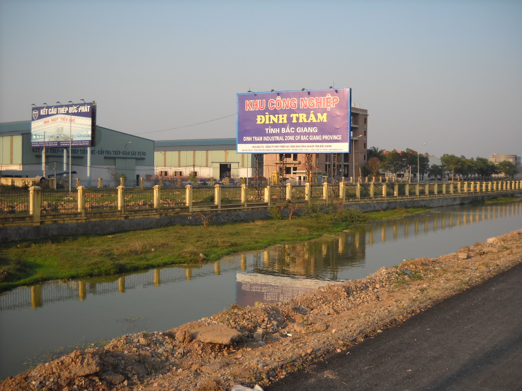
The place itself has not changed, and this page continues to cover it.
National Assembly Resolution 202/2025/QH15 on the rearrangement of provincial-level administrative units
Bac Giang province existed as a distinct administrative unit in the northeastern Red River Delta region until 1 July 2025, when Vietnam's nationwide consolidation of provinces dissolved it. Its territory, landscapes and settlements continue unchanged under the Bac Ninh administration. This page records Bac Giang as a historical entity.
Administrative Status
Bac Giang was one of Vietnam's 63 provinces before the National Assembly resolution on the rearrangement of provincial-level administrative units took effect on 1 July 2025. Under that reform, Vietnam reduced its provinces and centrally-governed cities from 63 to 34, eliminating the district tier entirely and moving to a two-tier system of province and commune or ward.
Bac Giang was merged into Bac Ninh, which now administers the combined territory. The former province code under the ISO 3166-2 standard was VN-54. Any official documents, maps or databases issued before July 2025 that reference Bac Giang as a standalone province reflect the previous structure and should be read accordingly.
What the Area Is Known For
The territory that was Bac Giang is most closely associated with lychee cultivation. The Luc Ngan district — now a commune-level area within Bac Ninh — produces a significant share of Vietnam's lychee harvest, and the fruit is identified by a geographical indication protecting its origin. The short harvest season in early summer draws traders and generates considerable commercial activity across the region.
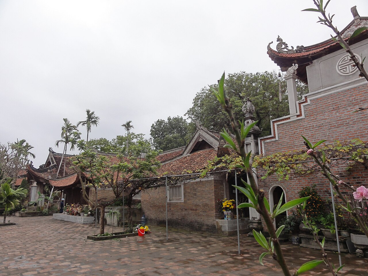
The area also contains a number of Buddhist and Confucian heritage sites. Vinh Nghiem Pagoda, a recognised national monument, holds a collection of woodblock-printed sutras listed on UNESCO's Memory of the World register. Tay Yen Tu, a forested mountain complex, is associated with the Truc Lam school of Vietnamese Zen Buddhism and attracts pilgrims as well as hikers. The former province also sits astride parts of the historic northeastern trade corridor connecting Hanoi with Lang Son and the Chinese border at Huu Nghi Quan.
Landscape and Seasons
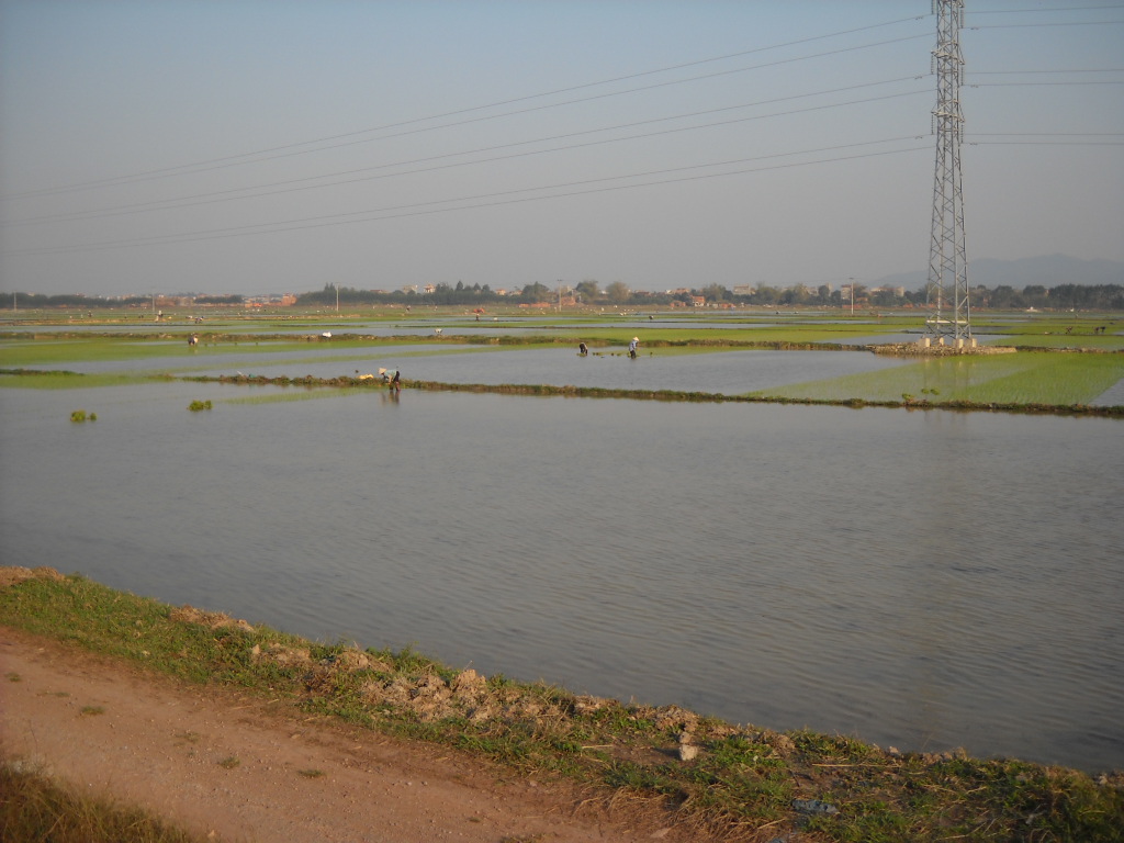
The terrain mixes low river plains in the south and west, where rice is grown in rotation with other crops, with forested upland areas in the north and east around the Yen Tu massif. Elevations in the uplands are modest by Vietnamese standards but sufficient to make the forest cover meaningful for biodiversity and water retention.
The climate follows the northern Vietnamese pattern: a cool, sometimes misty winter from roughly November to March, a warm and increasingly wet period from April through June, and a hot and humid main monsoon season from July to September. Lychee ripens in May and June, which is both the most commercially active time and, depending on tolerance for heat and rain, a rewarding or uncomfortable period to visit. The winter months are drier and cooler, making upland walking more comfortable, though mountain paths can be muddy after rain at any time of year.
Getting There and Around
The former provincial capital, Bac Giang city, lies roughly 50 kilometres northeast of Hanoi and is accessible by national highway and by rail on the Hanoi–Lang Son line. Journey times from Hanoi by road are short enough that day visits from the capital have historically been common, though travellers heading for Yen Tu or Luc Ngan require additional time.
Within the territory, the district tier has been abolished, so administrative navigation now runs directly from Bac Ninh province to individual communes and wards. Road infrastructure in the lowland areas is generally adequate; upland and forest roads vary in condition and can be affected by seasonal rain. There is no commercial airport in the former Bac Giang territory; Noi Bai International Airport in Hanoi serves the region.
Heritage Sites
Vinh Nghiem Pagoda, located near the confluence of the Thuong and Luc Nam rivers, is among the more historically significant Buddhist sites in northern Vietnam. Built during the Ly and Tran dynasties, it is associated with the founding figures of Vietnamese Zen Buddhism. Its woodblock sutra collection, inscribed on UNESCO's Memory of the World register, is held in a dedicated stele house on the grounds.
Tay Yen Tu forms the western face of the Yen Tu mountain range, which straddles the border with what was Quang Ninh province. The site includes temples, forests and walking trails that connect to the broader Yen Tu pilgrimage network. Visits are most concentrated around Tet and in spring, when large numbers of Vietnamese pilgrims make the ascent. The terrain is steep in sections and appropriate footwear is practical.
There are also smaller communal houses, or dinh, and temples distributed across the lowland areas that reflect the region's pre-modern administrative and religious landscape, though these receive considerably less visitor attention than the two major sites.
First-Time Visitor Notes
Because Bac Giang no longer appears as an administrative unit on current official maps or government portals, travellers planning a visit should search for specific destinations — Bac Giang city, Luc Ngan, Vinh Nghiem, Yen Tu western face — rather than expecting the provincial name to appear in navigation or booking tools. The successor administration is Bac Ninh, and local government contact for any official purpose now falls under that authority.
The lychee season is brief, typically a few weeks in late May and June. Outside that window, the fruit is not available locally in fresh form. Travellers specifically interested in the harvest should confirm timing locally, as it varies with annual weather conditions. Yen Tu pilgrimage sites can be very crowded on Vietnamese lunar calendar holidays; the experience differs considerably from a visit on an ordinary weekday.
月別気候
長期平均値であり、予報ではありません。 参照期間: 2015–2024. 出典: ERA5 reanalysis (Copernicus) via the Open-Meteo archive API.
Show the numbers
| 月 | 最高気温 °C | 最低気温 °C | 降水量(mm) | 雨天日数 | Humidity % |
|---|---|---|---|---|---|
| January | 20.4 | 13.3 | 56 | 11 | 77 |
| February | 21.7 | 14.5 | 46 | 9 | 77 |
| March | 25.2 | 18.1 | 61 | 14 | 82 |
| April | 28.6 | 20.9 | 110 | 14 | 81 |
| May | 31.0 | 24.2 | 219 | 21 | 82 |
| June | 32.5 | 26.0 | 282 | 21 | 82 |
| July | 32.1 | 25.8 | 277 | 23 | 84 |
| August | 31.2 | 25.2 | 411 | 26 | 88 |
| September | 30.4 | 24.2 | 313 | 21 | 86 |
| October | 27.9 | 21.1 | 130 | 12 | 78 |
| November | 25.6 | 18.4 | 50 | 9 | 76 |
| December | 20.9 | 13.8 | 31 | 7 | 69 |
現在は一部
参照元
出典
- ERA5 climate normals — Copernicus / Open-Meteo (CC BY 4.0) アクセス日 30 August 2026
Supports: monthly temperature and rainfall normals, and elevation - Bac Giang (Q36367) — Wikidata (CC0 1.0) アクセス日 30 August 2026
Supports: coordinates, area, population - Bac Giang — Wikipedia (CC BY-SA 4.0) アクセス日 30 August 2026
Supports: background
Current 最終確認: 29 August 2026. Rules, fares and prices change — check the official source before acting on anything here. Report a mistake.
Picture credits (4)
Bắc Giang Viet Yen, Dongson.vmvn, CC BY-SA 4.0, Wikimedia Commons · Bắc Giang Viet Yen2, Dongson.vmvn, CC BY-SA 4.0, Wikimedia Commons · Bắc Giang Viet Yen3, Dongson.vmvn, CC BY-SA 4.0, Wikimedia Commons · ngocchat1014, CC BY 3.0, Wikimedia Commons