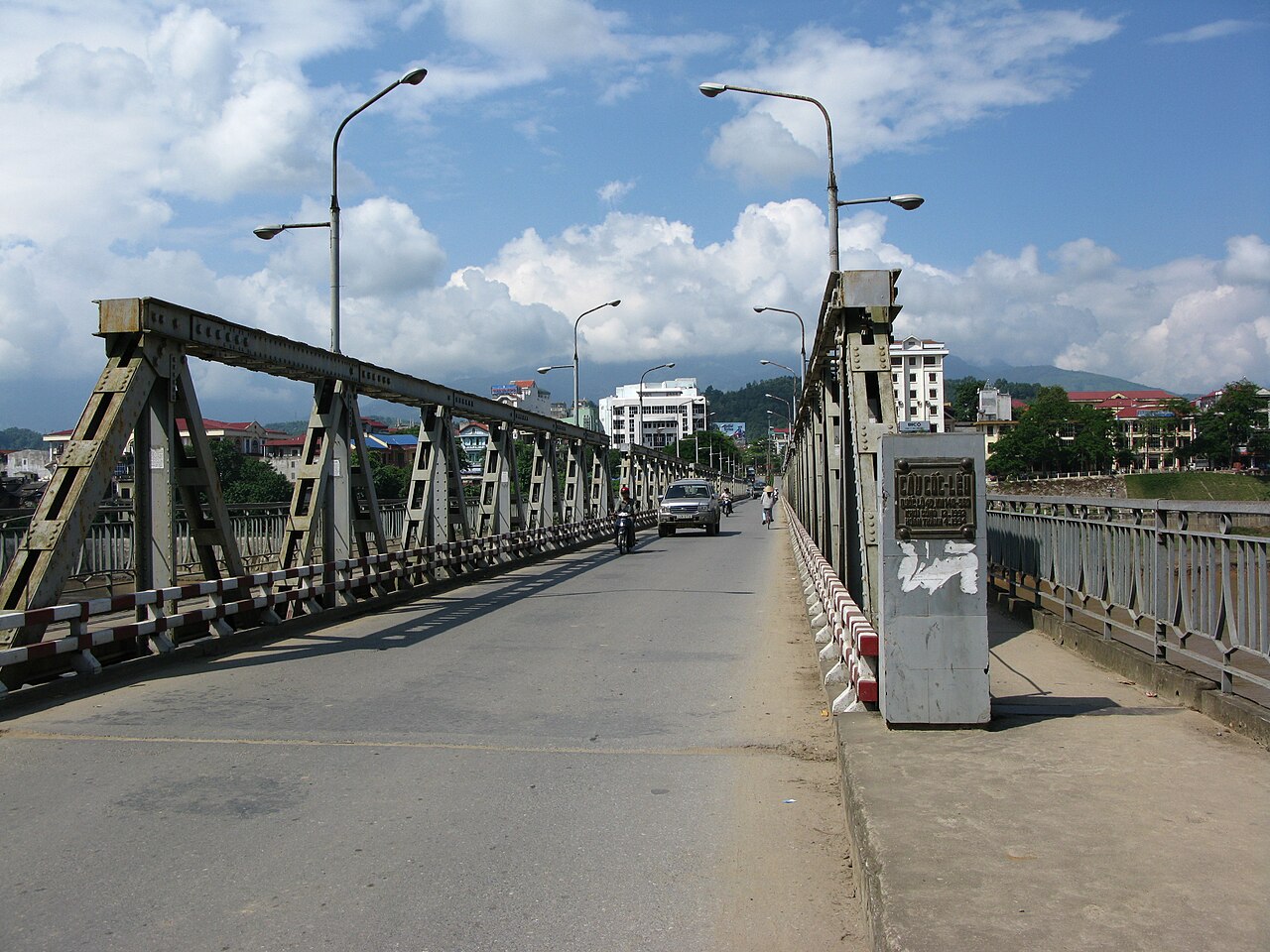
National Assembly Resolution 202/2025/QH15 on the rearrangement of provincial-level administrative units
Lao Cai province stretches from the Red River valley on the Chinese border deep into the Hoang Lien Son range, encompassing some of the highest terrain in Vietnam. On 1 July 2025 it absorbed the former province of Yen Bai under a nationwide administrative merger, significantly expanding its area and population. The province is home to numerous ethnic minority groups — Hmong, Dao, Tay, Giay and others — whose cultures, markets and festivals draw visitors from across the world.
What Lao Cai is known for
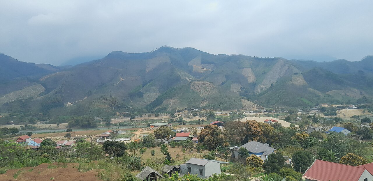
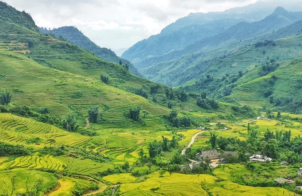
The province's international reputation rests on Sapa, a highland town set against the Hoang Lien Son range, where terraced rice fields carved into steep hillsides have become one of Vietnam's most recognisable landscapes. Fansipan, at 3,143 metres the highest peak in Vietnam and in the broader Indochinese peninsula, lies within this range and is accessible both on foot and by cable car from Sapa.
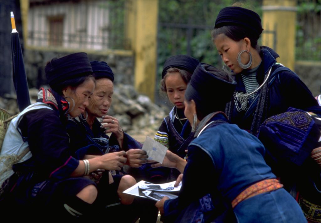
Bac Ha, further east in the province, is known for its Sunday market, one of the largest ethnic minority markets in the north, where Flower Hmong women in elaborate embroidered dress come to trade livestock, produce and textiles. Y Ty, near the Chinese border in the north of the province, attracts photographers and trekkers for its terraced landscapes and relative remoteness. The broader province also contains significant stretches of the Hoang Lien Son Nature Reserve and Red River corridor.
Administrative status and the 2025 merger
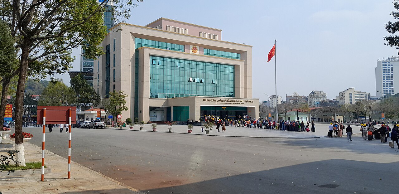
As of 1 July 2025, Lao Cai province was enlarged by the merger with the former Yen Bai province under a National Assembly resolution that reduced Vietnam's provincial units from 63 to 34. The district tier has been abolished nationally; administration now operates at two levels, province and commune or ward.
The location of the provincial administrative centre is currently unsettled. Wikidata records Lao Cai city, on the Chinese border, as the capital, while press reporting on the merger pointed to Yen Bai city as the centre of the enlarged province. Neither claim can be confirmed with certainty at the time of writing, and the question should be treated as unresolved. Travellers dealing with official paperwork should verify the current administrative arrangements locally or through official Vietnamese government channels.
When to go
Lao Cai's climate varies considerably with altitude and sub-region. The upland areas around Sapa experience four loosely defined seasons. From roughly March to May, temperatures are mild and terraces are green; this period and September to November — when rice harvest turns the paddies gold — are generally considered the most photogenic. Summer brings warmth and cloud, with heavy rain from May through August causing landslides on mountain roads, which can close routes with little warning. Winter, from December to February, brings genuine cold at elevation, occasionally including frost and brief snowfall on the highest peaks; mist is frequent and visibility can be poor.
The lower valleys, including Yen Bai city, are warmer and less prone to extreme cold. The Bac Ha area sits at a lower altitude than Sapa and is generally warmer in winter. See When to go: weather by region for a fuller regional picture.
Getting there and away
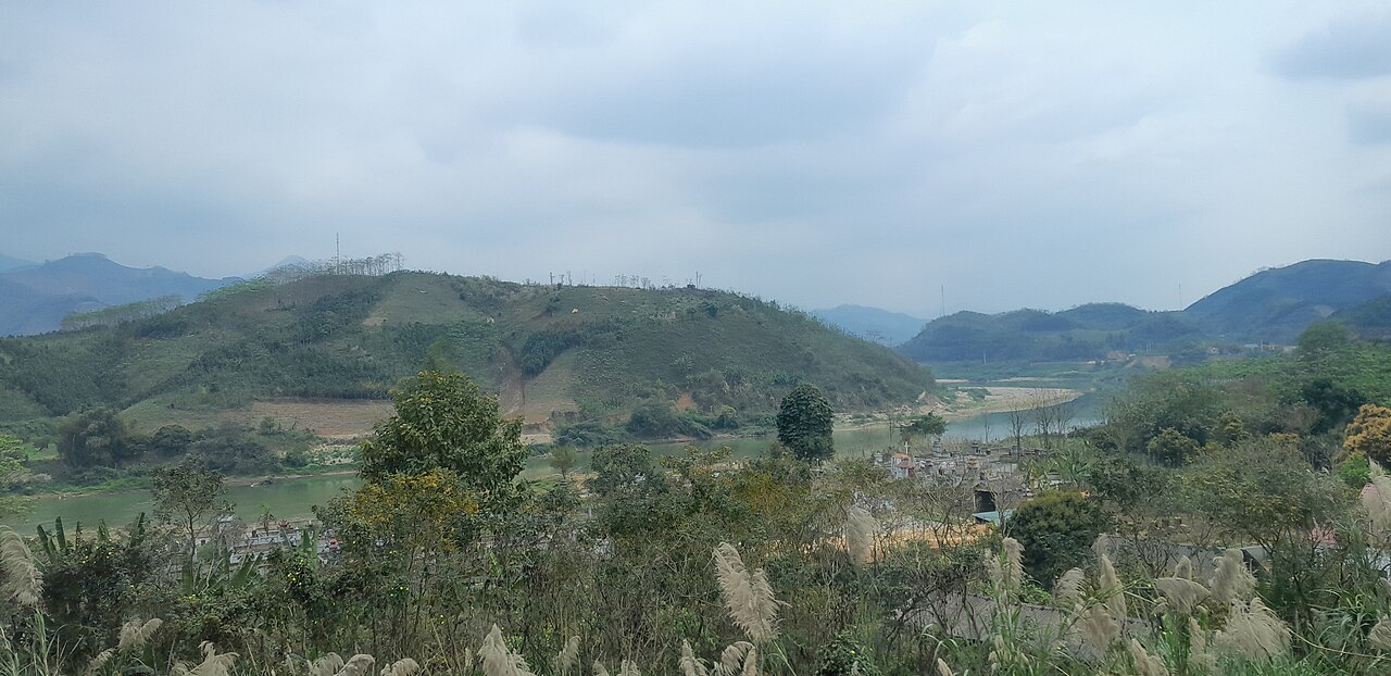
The most established route into the province from Hanoi is the overnight train on the Hanoi–Lao Cai line, which terminates at Lao Cai city on the Chinese border. The journey takes roughly eight to nine hours; sleeper berths in various classes are available. From Lao Cai city, bus or minivan transfers cover the climb to Sapa. Full details are on the Hanoi to Lao Cai train page.
Bus services connect Hanoi and other northern cities to Sapa directly, and to Bac Ha. Road quality in the highlands is generally adequate on main routes but can deteriorate on secondary roads, particularly after heavy rain. The nearest commercial airport to Sapa is at Noi Bai in Hanoi. Lao Cai city itself has a small airport, though scheduled services have been limited; the status of flights should be checked closer to travel. The expanded province now also encompasses Yen Bai city, which has its own rail and road connections to Hanoi. Crossing into China at Lao Cai–Hekou is possible; entry requirements are set by both governments and should be verified in advance — see Vietnam e-visa for Vietnam's visa arrangements.
Places and areas within the province
Sapa is the main hub for accommodation, restaurants and trekking operators in the highlands. It has developed rapidly and now offers options ranging from small guesthouses in surrounding villages to large resort hotels. The town itself is busy and commercial; the experience of the landscape requires moving into the surrounding valleys and villages. See the Sapa page for detail.
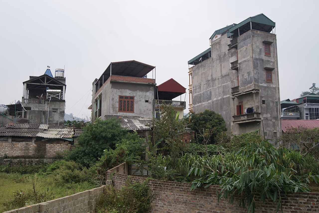
Bac Ha sits roughly 60 kilometres by road northeast of Lao Cai city at a lower, warmer elevation. Accommodation options are more limited than Sapa, and most visitors come as a day trip for the Sunday market, though staying overnight allows for a quieter experience.
Y Ty is a remote commune near the Chinese border, reached by a long road journey from Lao Cai city. Infrastructure is basic; the area suits travellers comfortable with simple accommodation and uncertain road conditions.
The former Yen Bai area, in the southern part of the enlarged province, includes Mu Cang Chai, known for its terraced landscapes, and the town of Yen Bai on the Red River.
Common misunderstandings
Lao Cai city and Sapa are not the same place. Lao Cai city is on the valley floor at the Chinese border; Sapa is a hill town roughly 38 kilometres away by road and about 1,500 metres higher. Trains terminate at Lao Cai city, not Sapa.
Weather at altitude is genuinely cold in winter. Visitors expecting Southeast Asian warmth year-round are frequently caught out. Sapa can drop close to or below freezing between December and February.
Mountain roads close after heavy rain. Landslides are a real risk in the wet season, and roads including the main Sapa approach can be blocked for hours or days. Building flexibility into an itinerary is prudent.
Ethnic minority village tourism carries sensitivities. Many villages near Sapa and Bac Ha receive high visitor numbers. Photographing people without consent is generally unwelcome. Buying directly from artisans at markets rather than intermediary shops is often preferred by local communities.
For practical matters including currency and connectivity, see Money, ATMs and cards and SIM cards and eSIMs.
Climate by month
Long-run averages, not a forecast. Reference period: 2015–2024. Source: ERA5 reanalysis (Copernicus) via the Open-Meteo archive API.
Show the numbers
| Month | High °C | Low °C | Rain mm | Rain days | Humidity % |
|---|---|---|---|---|---|
| January | 19.0 | 12.9 | 156 | 21 | 87 |
| February | 21.0 | 14.0 | 98 | 15 | 83 |
| March | 25.3 | 17.5 | 159 | 20 | 84 |
| April | 28.8 | 20.5 | 183 | 19 | 82 |
| May | 31.1 | 23.2 | 373 | 24 | 83 |
| June | 31.9 | 24.6 | 581 | 24 | 85 |
| July | 31.6 | 24.5 | 453 | 26 | 85 |
| August | 31.0 | 24.2 | 548 | 25 | 87 |
| September | 29.9 | 23.4 | 407 | 24 | 85 |
| October | 27.3 | 21.2 | 231 | 18 | 82 |
| November | 24.5 | 18.3 | 128 | 16 | 83 |
| December | 19.5 | 13.4 | 93 | 15 | 83 |
Places within Lao Cai
 Destination
Bac Ha
Sunday hill-tribe market, Flower Hmong
 Destination
Sapa
Rice-terrace trekking, Hmong and Dao villages, Fansipan
 Destination
Y Ty
Cloud-hunting, Ha Nhi villages, terraces near the Chinese border
 City
City
Lào Cai
Border city in northwest Vietnam, formerly a provincial city and now part of the merged Lào…
Where it is
Also known as / see also
Nearby
Absorbed
Referenced by
Sources
- ERA5 climate normals — Copernicus / Open-Meteo (CC BY 4.0) accessed 30 August 2026
Supports: monthly temperature and rainfall normals, and elevation - Map data from OpenStreetMap contributors, ODbL 1.0 — OpenStreetMap (ODbL 1.0) accessed 29 August 2026
Supports: carried over from the first build - Lao Cai (Q36446) — Wikidata (CC0 1.0) accessed 30 August 2026
Supports: coordinates, area, population - Lao Cai — Wikipedia (CC BY-SA 4.0) accessed 30 August 2026
Supports: background
Current Last verified: 29 August 2026. Rules, fares and prices change — check the official source before acting on anything here. Report a mistake.
Picture credits (9)
Coc Leu Bridge 3, Binh Giang, Public domain, Wikimedia Commons · Border China.Red River.Lao Cai (11064), JakobHosp, CC BY 4.0, Wikimedia Commons · Border China.Red River.Lao Cai (11919), JakobHosp, CC BY 4.0, Wikimedia Commons · Border China.Red River.Lao Cai (17735), JakobHosp, CC BY 4.0, Wikimedia Commons · Border China.Red River.Lao Cai (28150), JakobHosp, CC BY 4.0, Wikimedia Commons · Buildings in Bắc Hà, Vietnam - 20131027, Truth'soutthere, CC BY-SA 3.0, Wikimedia Commons · Black hmong women sapa vietnam 1999, Unknown, Public domain, Wikimedia Commons · Kiếm Anh, CC BY-SA 4.0, Wikimedia Commons · 源義信, CC BY 4.0, Wikimedia Commons