National Assembly Resolution 202/2025/QH15 on the rearrangement of provincial-level administrative units
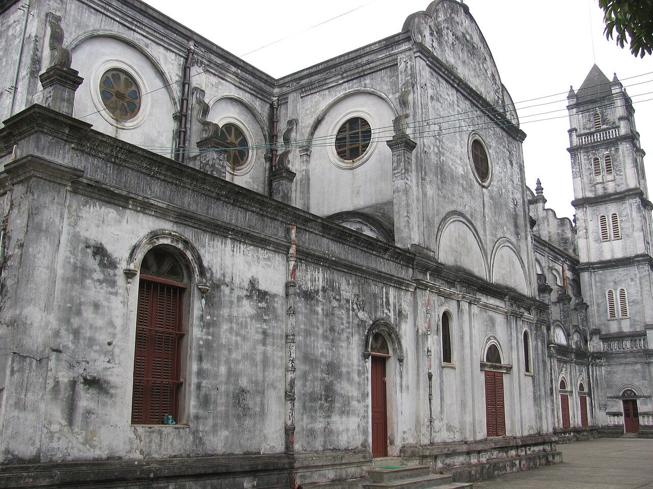
Created on 1 July 2025 when the former Bac Ninh province absorbed the former Bac Giang province, the enlarged Bac Ninh spans terrain from flat delta paddy land in the south to the rolling northeast hills of the former Bac Giang half. Which city serves as administrative centre remains unsettled: sources variously name Bac Ninh city and Bac Giang city, and the question had not been formally resolved at the time of writing.
What Bac Ninh is known for
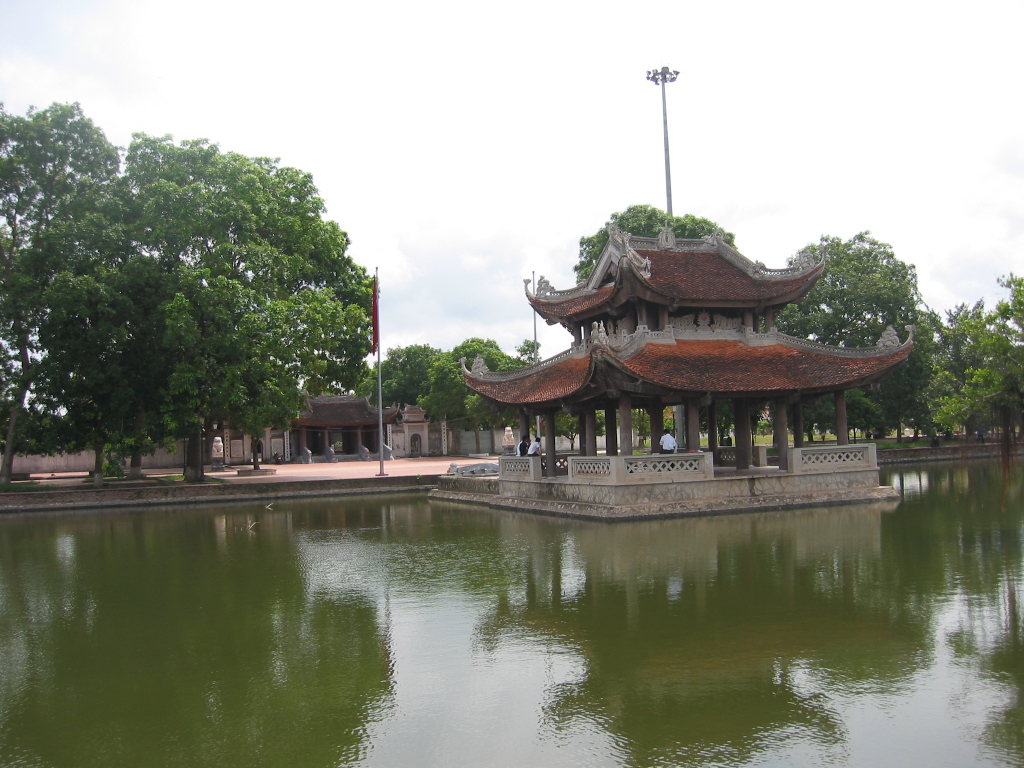
The province holds one of the densest collections of communal houses (dinh) and Buddhist pagodas in northern Vietnam, many dating to the Ly dynasty (11th–13th centuries), whose royal court originated in this region. The Dau Pagoda, regarded as among the oldest Buddhist sites in Vietnam, and the But Thap Pagoda, noted for its multi-tiered stone stele tower, are the two most visited religious monuments.
Quan ho is the folk singing tradition for which Bac Ninh is nationally celebrated. Performed as an antiphonal exchange between groups of male and female singers, it was inscribed on UNESCO's Representative List of Intangible Cultural Heritage of Humanity in 2009. Performances are most readily heard during the Lim Festival in the first lunar month.
Since the 2000s, Bac Ninh has become a major node in global electronics supply chains. Samsung's largest Vietnamese manufacturing campus is located here, and the resulting industrial parks have transformed parts of the province's economy and landscape.
Getting there and away
Bac Ninh lies close to Hanoi, and road connections are the primary way in and out. National Highway 1A and Highway 18 link the southern part of the province to Hanoi in under an hour under normal traffic conditions. Limousine minibuses and local buses run frequently from Hanoi's Gia Lam and My Dinh terminals.
The former Bac Giang half of the province is served by road from Hanoi's Gia Lam area via Highway 1A continuing northeast, a journey that takes longer due to the greater distance and occasional congestion near industrial zones.
A railway line connects Hanoi to Bac Giang city, with stops through the province; services are slower than road but can be a practical option for the northern section. There is no commercial airport within the province; Hanoi's Noi Bai International Airport is the relevant hub for international arrivals.
For visitors continuing east, Highway 18 leads toward the Quang Ninh coast and Halong Bay. The nearby site of Con Son and Kiep Bac is accessible from the former Bac Giang zone.
When to go
Bac Ninh shares the Red River Delta's four-season climate. Spring (February to April) is overcast and drizzly but mild, and coincides with the festival season — the Lim Festival, when quan ho singing is most publicly performed, falls in the fifteenth day of the first lunar month, typically in February. Autumn (September to November) brings lower humidity, clearer skies, and more comfortable temperatures for visiting outdoor pagoda complexes.
Summer (May to August) is hot and humid, with occasional heavy rain. Winter (December to January) is cool to cold by Vietnamese standards, with temperatures sometimes dropping below 15°C; the flat landscape provides little shelter from northerly winds. The former Bac Giang hills in the north of the province can be noticeably cooler than the delta lowlands in all seasons.
See weather by region for a fuller picture of northern Vietnam's seasonal patterns.
Places to see
But Thap Pagoda (Chua But Thap) in Thuan Thanh area is one of the best-preserved pagoda complexes in the north, with a rare cylindrical stele tower rising through multiple storeys and a series of garden courtyards. The site contains notable lacquerwork statuary.
Dau Pagoda (Chua Dau) claims a foundation possibly dating to the second century CE, though surviving structures are mostly later. It is an active place of worship and draws large crowds during major festivals.
Lim Hill and the Lim Festival are the focal point of quan ho culture. Outside festival time the hill is quiet, but the associated communal house is open. The festival itself involves competitive call-and-response singing across boats on a small lake, as well as wrestling and other traditional games.
Do Pagoda (Chua Do) near Bac Ninh city is associated with the Ly dynasty and holds royal memorial tablets; it is a pilgrimage site rather than a conventional tourist attraction, and its atmosphere reflects that.
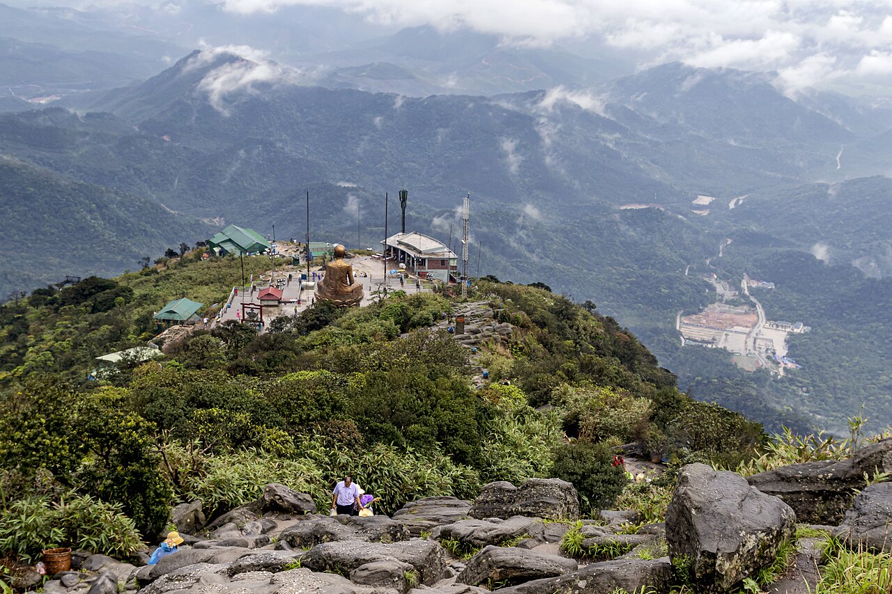
In the former Bac Giang area, Con Son and Kiep Bac — a pair of linked historical shrines — are a short journey from the provincial border and are covered in a dedicated page.
Where to stay
Accommodation options are concentrated around Bac Ninh city in the south, where a range of business hotels and guesthouses caters primarily to people working in the industrial sector. Bac Giang city, in the northern half of the merged province, has a similar profile. Neither city has a developed leisure-tourism accommodation market comparable to Hanoi or coastal destinations.
Most international visitors to the pagodas and cultural sites stay in Hanoi and make day trips; this is practical given the distances involved and the relative scarcity of tourist-oriented accommodation within the province itself. For those attending a multi-day festival, guesthouses near Lim town fill quickly and should be arranged well in advance.
Common points of confusion
The administrative centre is unsettled. Following the 1 July 2025 merger, different official and press sources name both Bac Ninh city and Bac Giang city as the provincial centre. Visitors should not assume services, government offices, or transport hubs align neatly around a single city.
Bac Giang is no longer a separate province. The former Bac Giang province is now the northern portion of Bac Ninh. Maps and transport apps produced before July 2025 will show the old boundaries and may be misleading.
Industrial zones affect the landscape. First-time visitors expecting purely rural scenery may be surprised by large factory complexes and associated worker housing near the main highways. The historical and cultural sites sit somewhat apart from these areas.
Visa and entry requirements can change by government decree. The Vietnam e-visa page is the appropriate starting point; do not rely on information from prior trips or third-party summaries. For other practical matters, see money and ATMs and SIM cards and eSIMs.
Clima por mês
Médias de longo prazo, não uma previsão. Período de referência: 2015–2024. Fonte: ERA5 reanalysis (Copernicus) via the Open-Meteo archive API.
Show the numbers
| Mês | Máx. °C | Mín. °C | Chuva em mm | Dias de chuva | Humidity % |
|---|---|---|---|---|---|
| January | 20.9 | 14.0 | 64 | 11 | 76 |
| February | 22.3 | 15.2 | 47 | 9 | 76 |
| March | 25.7 | 18.8 | 69 | 13 | 81 |
| April | 29.0 | 21.5 | 94 | 12 | 81 |
| May | 31.6 | 24.7 | 227 | 19 | 81 |
| June | 33.4 | 26.6 | 246 | 19 | 79 |
| July | 32.9 | 26.3 | 310 | 22 | 81 |
| August | 31.8 | 25.6 | 419 | 25 | 86 |
| September | 30.8 | 24.6 | 344 | 21 | 85 |
| October | 28.4 | 21.7 | 168 | 12 | 76 |
| November | 26.2 | 19.1 | 60 | 9 | 75 |
| December | 21.4 | 14.4 | 34 | 7 | 69 |
Where it is
Also known as / see also
Nas proximidades
Absorvido
Referenciado por
Fontes
- ERA5 climate normals — Copernicus / Open-Meteo (CC BY 4.0) truy cập 30 August 2026
Supports: monthly temperature and rainfall normals, and elevation - Map data from OpenStreetMap contributors, ODbL 1.0 — OpenStreetMap (ODbL 1.0) truy cập 29 August 2026
Supports: carried over from the first build - Bac Ninh (Q33408) — Wikidata (CC0 1.0) truy cập 30 August 2026
Supports: coordinates, area, population - Bac Ninh — Wikipedia (CC BY-SA 4.0) truy cập 30 August 2026
Supports: background
Current Última verificação: 29 August 2026. Rules, fares and prices change — check the official source before acting on anything here. Report a mistake.
Picture credits (5)
Nha Tho Bac Ninh3, Hoangvantoanajc ( thảo luận ), CC BY-SA 3.0, Wikimedia Commons · Nha tho Bac Ninh (tuong thanh Giuse), Hoangvantoanajc ( thảo luận ), CC BY-SA 3.0, Wikimedia Commons · Hanaka Paris Ocean Park 2023, AxitTDTbenzoic, CC BY-SA 4.0, Wikimedia Commons · LyBatDeShrine, Binh Giang, Public domain, Wikimedia Commons · Phong cảnh núi Yên Tử, Bùi Thụy Đào Nguyên, CC BY-SA 4.0, Wikimedia Commons