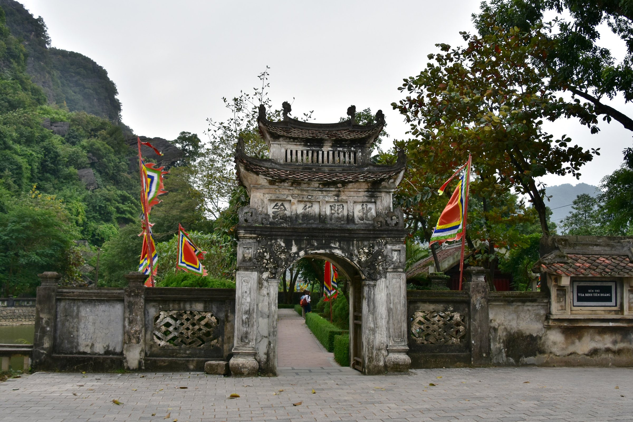
Hoa Lu ancient capitalCố đô Hoa Lư
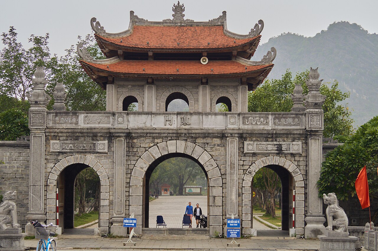
Historical background
Hoa Lu served as the capital of the independent Vietnamese state from 968 to 1010, a period spanning two successive dynasties. Dinh Bo Linh, who unified the country's warring lords and founded the Dinh dynasty, established the capital here in 968 and named the state Dai Co Viet. After his assassination in 979, the Early Le dynasty under Le Hoan continued to govern from Hoa Lu, defending the capital against both Chinese Song-dynasty forces and Cham incursions from the south. In 1010, Emperor Ly Thai To decided the site was too confined for a growing state and relocated the court northward to Thang Long, the city that eventually became Hanoi. Hoa Lu's political importance ended there, but the site retained ceremonial and symbolic significance throughout later Vietnamese history.
Why Hoa Lu was chosen: the karst defence
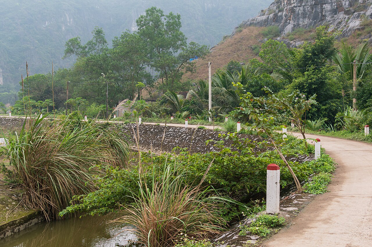
The selection of Hoa Lu was primarily strategic. The site sits within a basin enclosed on multiple sides by jagged limestone karst peaks — the same geology that defines the wider Ninh Binh and Tam Coc landscape. These near-vertical cliffs functioned as natural walls, limiting the directions from which an army could approach and reducing the length of artificial fortification required. The court supplemented the karst with earthen and stone ramparts connecting the cliff faces, enclosing two main citadel enclosures known as the Outer Citadel and the Inner Citadel. Rivers threading through the karst valleys added a further defensive layer. The same geography that made Hoa Lu defensible also constrained its growth, which is cited in historical records as one of Ly Thai To's reasons for moving the capital.
What remains of the citadel
The original citadel complex covered roughly 300 hectares and was divided into an outer zone for administrative functions and an inner zone for the royal palace and ceremonial spaces. No palace structures survive above ground. What remains of the ramparts are earthen embankments, some reinforced with stone, running between karst outcrops. These are visible at several points along the valley floor, though they require some orientation to read as fortification walls rather than natural landforms. Archaeological excavations have recovered roof tiles, ceramic fragments and foundation stones consistent with large-scale tenth-century construction. The site has been a subject of ongoing excavation, and the full extent of the buried palace complex remains under investigation.
Dinh and Le temples
Two temple compounds stand within the former citadel area, each dedicated to the founding ruler of its respective dynasty.
- Dinh Tien Hoang Temple honours Dinh Bo Linh, the first ruler. The current structures date primarily from a seventeenth-century reconstruction, following the style of Vietnamese communal architecture of that period. The compound includes a series of courtyards, gates and halls arranged on a central axis, with statues of Dinh Tien Hoang and his sons in the main sanctuary. A stone dragon carved in the tenth-century style is among the older surviving elements on site.
- Le Dai Hanh Temple, a short walk away, is dedicated to Le Hoan, founder of the Early Le dynasty. It is a smaller compound but follows a comparable axial layout. Statues of Le Hoan and figures associated with him, including the Queen Mother Duong Van Nga, are housed in the main hall. Duong Van Nga is a contested figure in Vietnamese historiography, remembered both as the widow of Dinh Tien Hoang and as the consort of Le Hoan.
Visiting the site
Hoa Lu is the most common anchor point for a day trip through the Ninh Binh and Tam Coc area. It is typically combined with a boat journey through the Tam Coc river caves or the Trang An waterway, the latter of which passes through karst scenery immediately adjacent to the ancient citadel perimeter. The temple compounds are compact and can be walked through in under an hour. Visitors with an interest in the archaeology of the citadel walls will need additional time to walk the embankment traces, which lie outside the formal temple enclosures. The site is administered as a UNESCO-recognised cultural heritage area as part of the broader Trang An Landscape Complex, which received World Heritage designation in 2014 for its combined natural and cultural values. Dress codes apply at the temple buildings.
Practical notes
Hoa Lu lies approximately 12 kilometres north of Ninh Binh town. The most common approach is by road, either by hired vehicle, motorbike or as part of an organised day tour departing from Ninh Binh or Hanoi. Some boat routes through Trang An approach the citadel area by water, with stops near the temple compounds. The site receives high visitor numbers during Vietnamese national holidays and the spring festival season, roughly February to April. Prices for entry, boat hire and guided services vary by season and are not listed here. Facilities at the site include parking, food stalls and souvenir vendors concentrated near the main gate.
Where it is
Also known as / see also
被以下页面引用
来源
- Vietnam National Authority of Tourism — VNAT 访问于 29 August 2026
Supports: the rules and definitions on this page - Hoa Lư Ancient Capital — Wikipedia (CC BY-SA 4.0) 访问于 3 September 2026
Supports: background - Cố đô Hoa Lư — Wikipedia (Vietnamese) (CC BY-SA 4.0) 访问于 3 September 2026
Supports: background, Vietnamese edition
Current 最后核实: 3 September 2026. Rules, fares and prices change — check the official source before acting on anything here. Report a mistake.
Picture credits (3)
Ancient capital of Hoa Lu, 10th century (1) (38445751276), Richard Mortel from Riyadh, Saudi Arabia, CC BY 2.0, Wikimedia Commons · Ninh Binh - NinhBinh1659, lumoplank, CC0, Wikimedia Commons · Ninh Bình - rural road near Mua Cave Feb 2024, Dominic Nelson, CC BY-SA 4.0, Wikimedia Commons