South Central CoastDuyên hải Nam Trung Bộ
Vietnam's middle coastline, stretching from Da Nang to Bình Thuận, known for beaches, Cham ruins, and fishing culture.
What the region is
The South Central Coast — Duyên hải Nam Trung Bộ in Vietnamese — is a geographic and cultural region running along Vietnam's eastern seaboard, broadly from Da Nang in the north to Bình Thuận in the south. It is not a single administrative province; after Vietnam's July 2025 administrative reorganisation reduced the country to 34 provincial-level units and abolished the district tier, the region's territory is governed by several of those consolidated provinces. The places themselves — Hội An, Mỹ Sơn, Nha Trang, Mũi Né — have not moved or changed character.
The region is defined physically by a narrow coastal plain squeezed between the Trường Sơn mountain range to the west and the South China Sea to the east. This geography shapes its economy, its cuisine, and the daily rhythms of its inhabitants, most of whom have lived in close relationship with the sea for generations.
Heritage and history
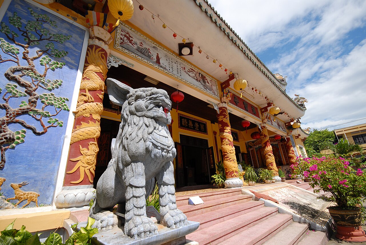
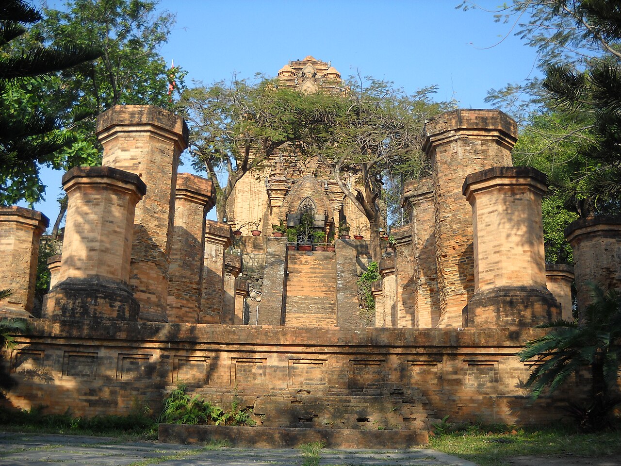
The South Central Coast was for many centuries the heartland of the Cham civilisation, a Hinduised maritime culture that flourished from roughly the second century CE until its gradual absorption into the Vietnamese state. Cham towers and sanctuaries survive across the region. The My Son Sanctuary, a cluster of Hindu temples in a forested valley near Hội An, is a UNESCO World Heritage Site and remains the most extensive Cham religious complex in Vietnam, though it was heavily damaged during the American War. The Po Nagar Cham Towers outside Nha Trang are still used as an active place of worship by Cham and Vietnamese communities alike. Smaller towers stand near Quy Nhơn and at other points along the coast.
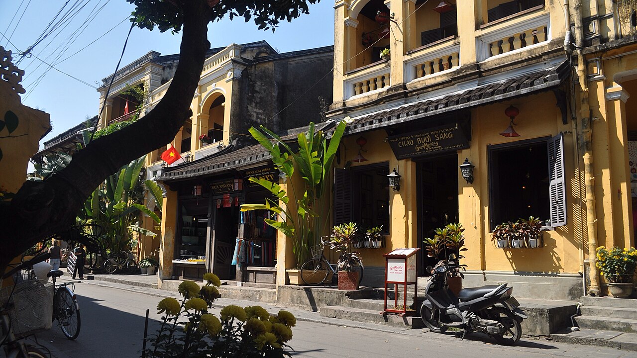
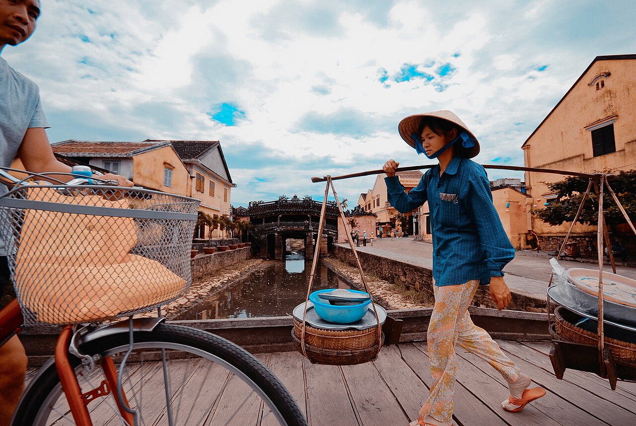
Hội An itself preserves a different layer of history: a merchant town where Chinese, Japanese, and later European traders settled from the fifteenth century onwards. Its Ancient Town is also UNESCO-listed, with its lantern-lit streets, assembly halls, and covered Japanese Bridge drawing consistent attention from visitors and architectural historians.
Landscape and coastal character
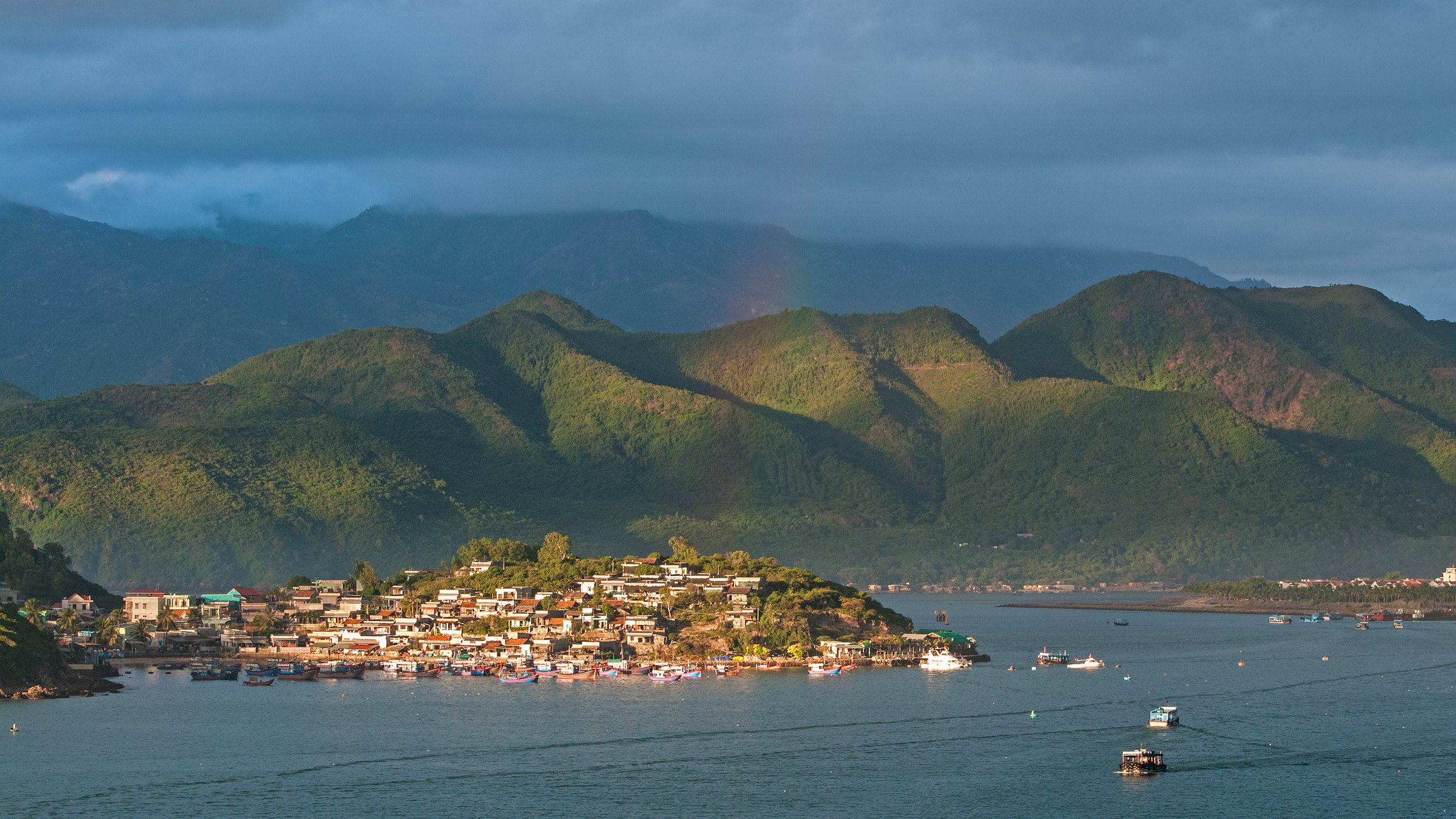
The coastline varies considerably from north to south. Around Da Nang and Hội An the beaches are wide and gently shelving, backed by flat agricultural land. Further south, around Quy Nhơn and Tuy Hòa, the coast becomes more rugged, with rocky headlands, quieter bays, and a fishing industry that remains prominent. Nha Trang sits in a broad bay sheltered by offshore islands and has long been the region's most developed resort destination. At the southern end, the Mũi Né peninsula and the red and white sand dunes around Phan Thiết give way to a semi-arid landscape unusual in Vietnam.
Offshore, several island groups — including the Con Dao archipelago administered separately — and closer inshore islands near Nha Trang offer coral reefs and relatively accessible dive sites, though reef health has declined in heavily trafficked areas.
Climate and when to visit
The climate of the South Central Coast is complex and does not behave uniformly from north to south. The northern part of the region, around Da Nang and Hội An, receives its heaviest rainfall between October and January, when typhoons and persistent wet weather can cause significant flooding — Hội An floods regularly and has done so historically. From February to August, conditions in the north are generally dry and warm.
The southern section — Nha Trang, Mũi Né, Phan Thiết — is drier overall and receives its main rains between September and November. The dry season here, roughly December to August, is long and can be intensely hot. The semi-arid south around Mũi Né is one of the sunniest parts of Vietnam year-round.
This north-south split means the region rarely has a single best time for the whole coast simultaneously. Travellers moving between Da Nang and Nha Trang in the same trip should check conditions for each location separately. Typhoon risk, while highest between September and December, is not confined to those months.
Food and fishing culture
Seafood is central to the region's diet and economy. The fishing fleets operating out of ports such as Phan Rang, Sông Cầu, and Tam Quan supply both local markets and national distribution networks. Fresh fish, crab, shrimp, squid, and sea urchin feature on menus along the coast, preparation styles varying by locality.
Hội An is known for several dishes associated specifically with the town: cao lầu, a noodle dish using water traditionally drawn from particular local wells and ash-treated rice; mì Quảng, a turmeric-tinged noodle with a small amount of rich broth, originating in the wider Quảng Nam area; and the white rose dumpling, bánh bao vạc. Nha Trang is associated with bún cá, a fish noodle soup, and with grilled seafood eaten at beachside eateries. The Mũi Né area has a tradition of fish sauce production, and bánh căn — small rice-flour pancakes cooked in clay moulds — is a local street food found across the southern part of the region.
Getting there and around
The region has several airports receiving domestic flights: Da Nang, Chu Lai (serving the Quảng Ngãi area), Phù Cát (for Quy Nhơn), Tuy Hòa, Cam Ranh (for Nha Trang), and Phan Thiết. Da Nang and Cam Ranh also handle significant international traffic. The North–South Railway runs the full length of the coast and is a practical option for moving between cities, with trains of varying speed and comfort connecting Hanoi and Ho Chi Minh City through all major stations on the route. The journey between Da Nang and Nha Trang by express train takes several hours.
Road travel on National Highway 1 links coastal cities, though it passes inland in places. The coastal road south of Da Nang through the Hai Van Pass area offers scenic travel but the pass itself can be affected by low cloud and rain. Within cities and resorts, motorbike taxis, app-based ride services, and bicycle hire are all used for shorter journeys. Inter-city buses operate on major routes but schedules and quality vary significantly between operators.
Common misunderstandings
Visitors sometimes treat the South Central Coast as climatically uniform, arriving at Hội An expecting the sunshine they read about at Nha Trang, or vice versa. The two are over 500 kilometres apart and experience different rainy seasons — research conditions for each stop individually.
The region also tends to be compressed in itineraries into a Da Nang–Hội An pairing, bypassing Quy Nhơn, Tuy Hòa, and the less-visited central sections. These areas have their own Cham heritage, beaches, and local character and see markedly fewer visitors.
At Hội An in particular, the Ancient Town's fame means crowds can be dense, especially around lantern festivals on the fourteenth of each lunar month. The town extends well beyond the UNESCO-listed streets, and the outlying villages — including the vegetable gardens of Trà Quế and the carpentry village of Kim Bồng — are distinct from the tourist centre. Finally, the flooding in Hội An during the wet season is not a minor inconvenience; parts of the old town can become impassable, and some years see serious damage to property.
Where to go in the South Central Coast
6 lugares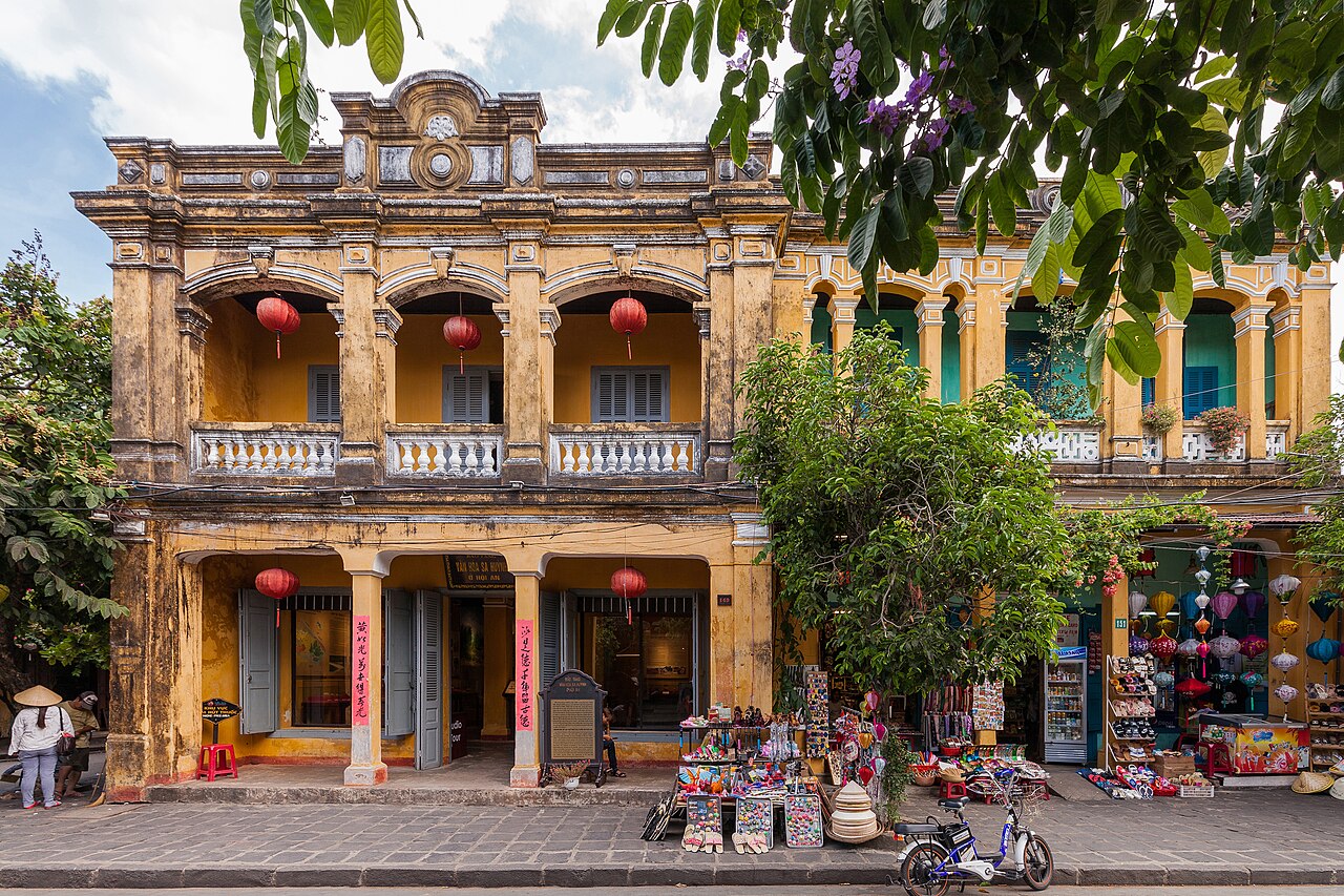 Destination
Hoi AnHội An
UNESCO trading port old town, tailors, lanterns, An Bang beach
 Destination
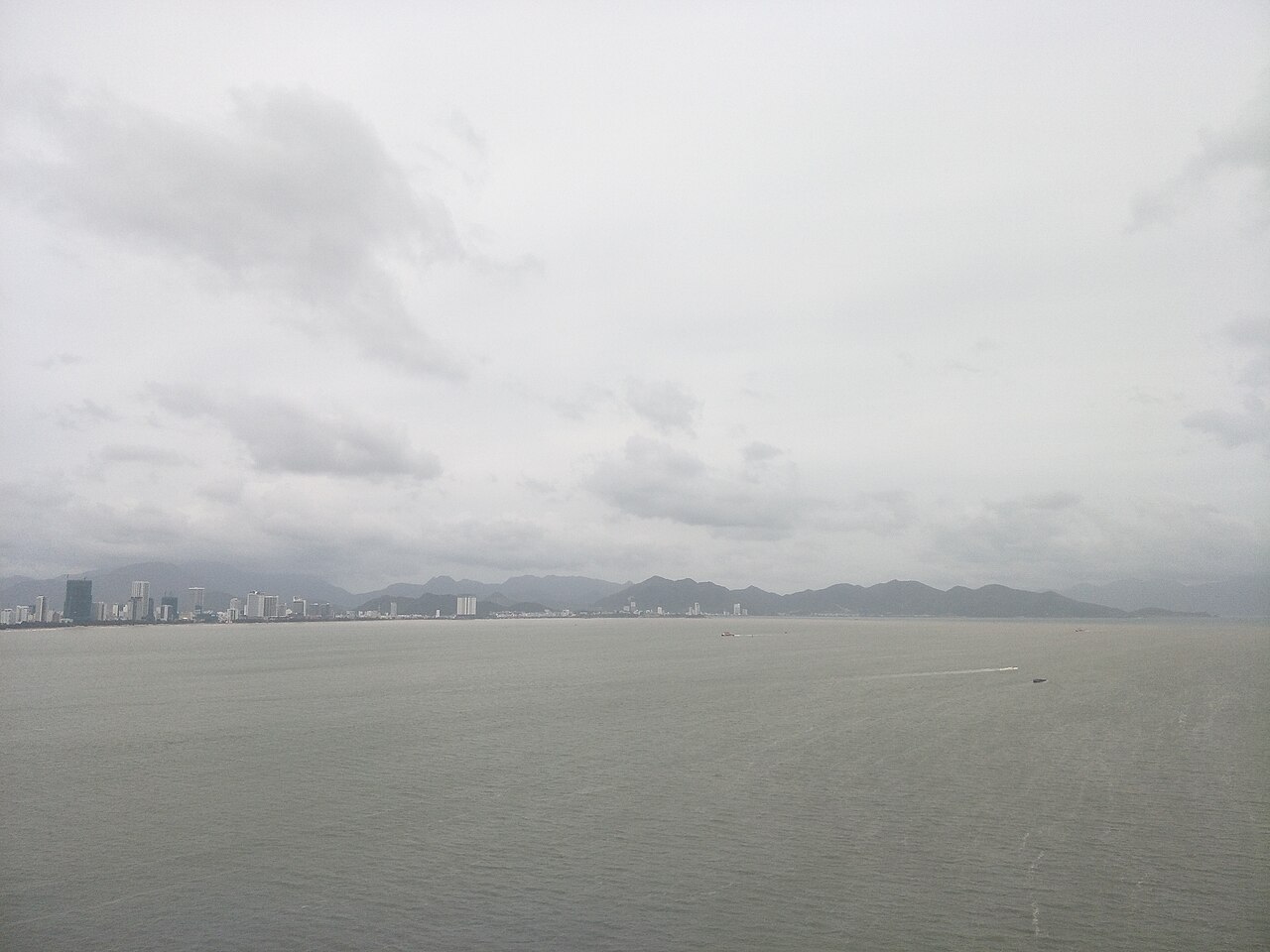
Nha Trang
City beach, islands, diving, Po Nagar towers
 Destination
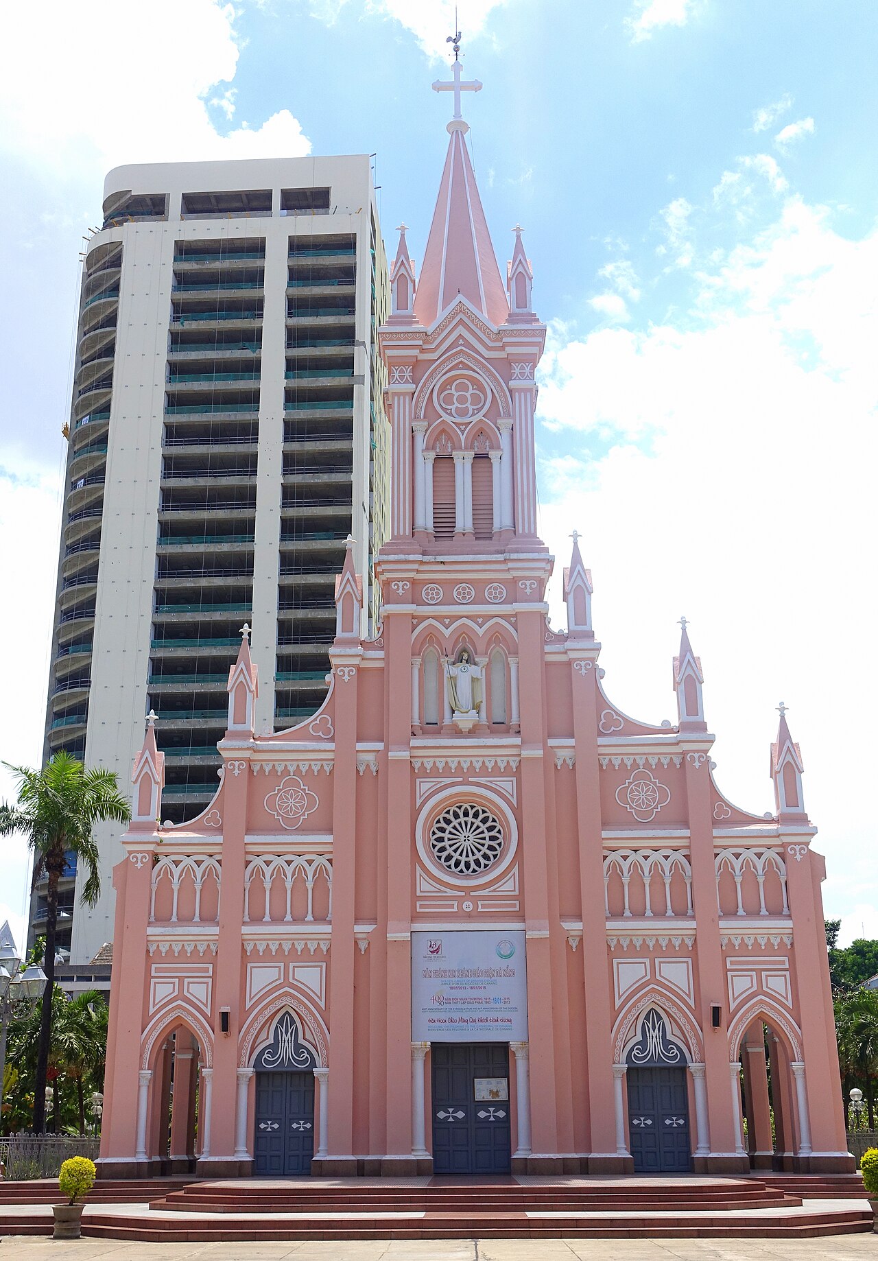
Da NangĐà Nẵng
My Khe beach, Marble Mountains, Ba Na Hills, Dragon Bridge
 Destination
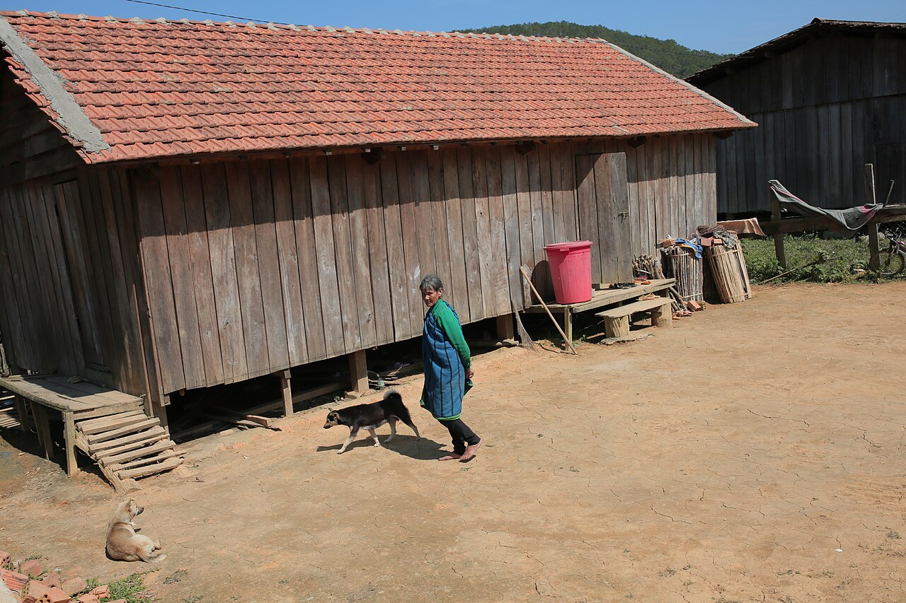
Kon Tum
Wooden cathedral, Bahnar rong houses, Ho Chi Minh trail country
 Island
Ly Son IslandĐảo Lý Sơn
Volcanic island, garlic fields, Hang Pagoda
 Destination
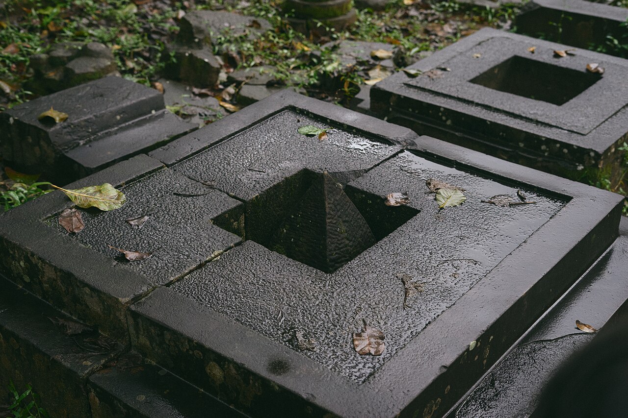
My Son SanctuaryThánh địa Mỹ Sơn
Cham brick temple complex, UNESCO listed
The provincial units today
What merged into what →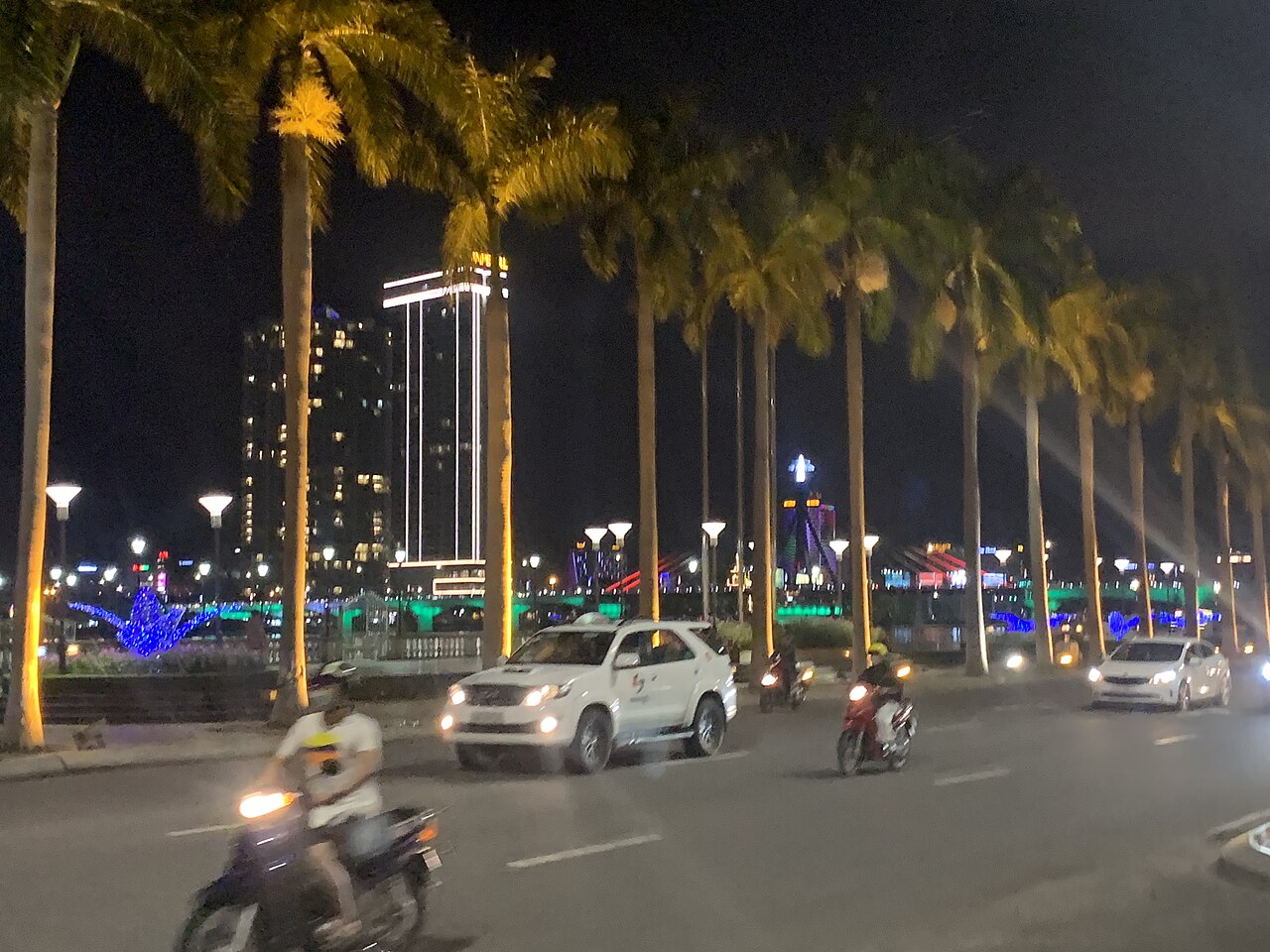 Municipality
Da NangĐà Nẵng
Central Vietnam's main city and transport hub, with beaches, mountain passes and easy…
 Province
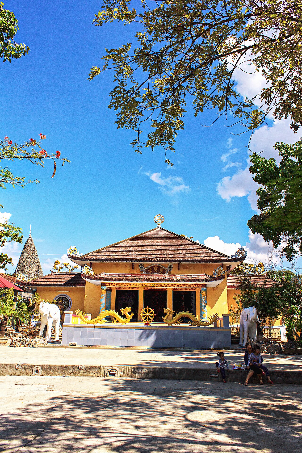
Khanh HoaKhánh Hòa
South-central coastal province centred on Nha Trang, formed in 2025 from the merger of…
 Province
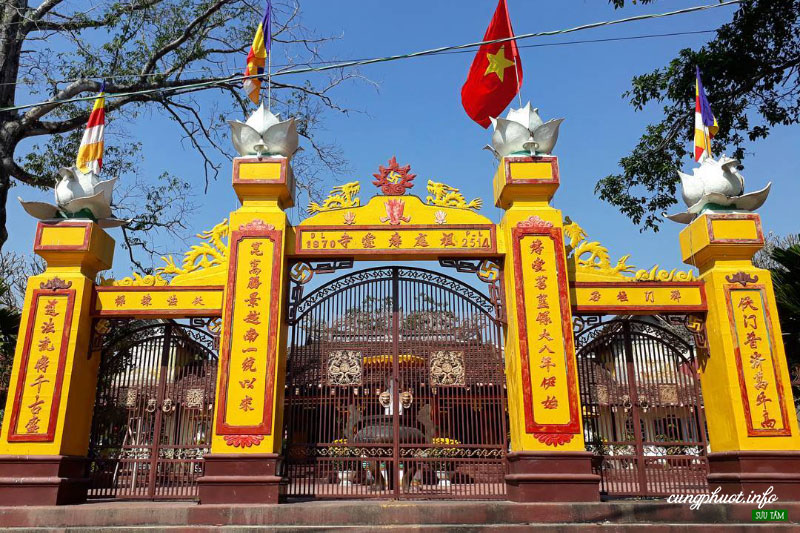
Quang NgaiQuảng Ngãi
South-central coastal province known for the My Lai site, Ly Son Island, and a coast that…
Provincias anteriores
Merged away in 2025 and kept as pages, because maps, guidebooks and booking sites still use these names.
 unidad anterior
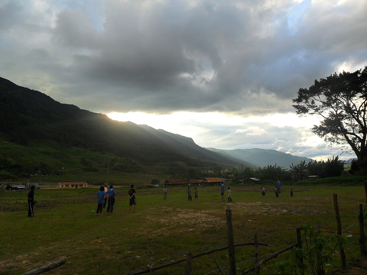
Kon Tum
Central Highlands city known for Bahnar culture, wooden churches and the Dak Bla River, now…
 unidad anterior
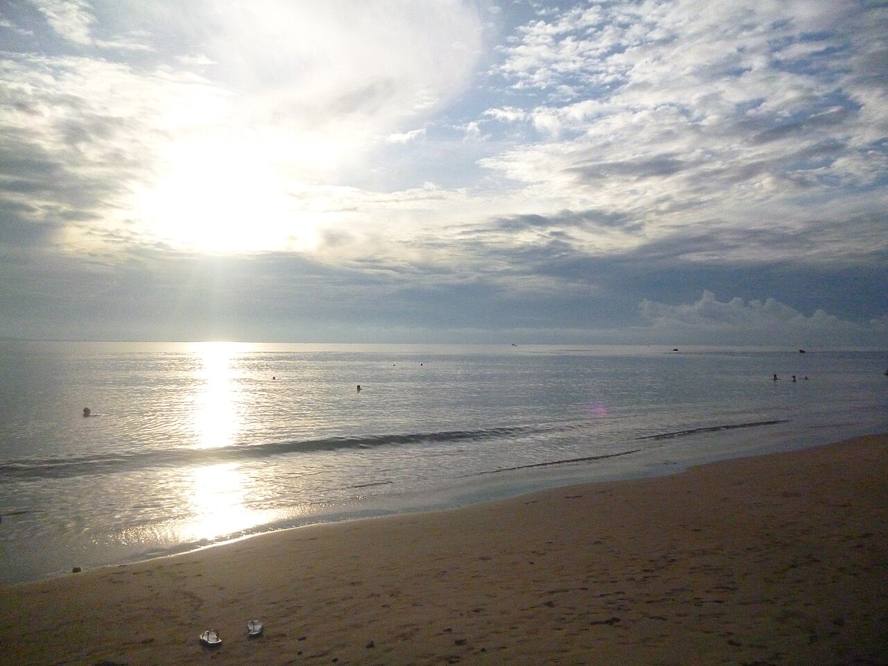
Ninh ThuanNinh Thuận
Arid south-central coastal area absorbed into Khanh Hoa in 2025, known for Cham towers…
 unidad anterior
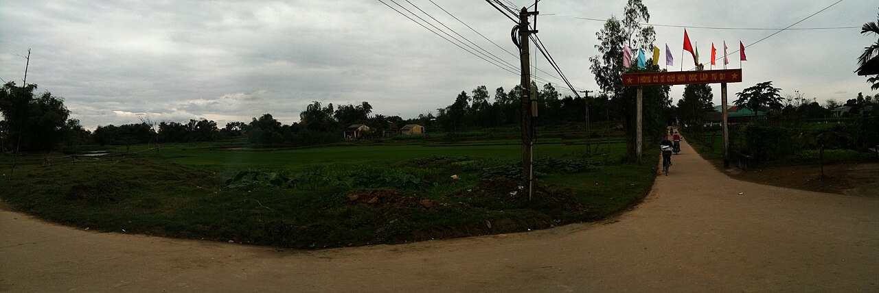
Quang NamQuảng Nam
Hoi An and My Son are in the former Quang Nam.
Picture credits (19)
Arriving in Nha Trang - Vietnam, bvi4092, CC BY 2.0, Wikimedia Commons · Hoi An Ancient Town, Vietnam (7090606593), David McKelvey from Brisbane, Australia, CC BY 2.0, Wikimedia Commons · Hoi An Ancient Town, Quang Nam province, South Central Coast, Vietnam, Mstyslav Chernov, CC BY-SA 3.0, Wikimedia Commons · Streets of Hoi An Ancient Town, Quang Nam province, South Central Coast, Vietnam-2, Mstyslav Chernov, CC BY-SA 3.0, Wikimedia Commons · Streets of Hoi An Ancient Town, Quang Nam province, South Central Coast, Vietnam-3, Mstyslav Chernov, CC BY-SA 3.0, Wikimedia Commons · Streets of Hoi An Ancient Town, Quang Nam province, South Central Coast, Vietnam, Mstyslav Chernov, CC BY-SA 3.0, Wikimedia Commons · Bình đài ở tháp Ponagar, Nha Trang, Dongson*vmvn at Vietnamese Wikipedia, CC BY-SA 3.0, Wikimedia Commons · Da Nang (49373181496), Martin Lewison from Forest Hills, NY, U.S.A., CC BY 2.0, Wikimedia Commons · Chùa Từ Vân, Bùi Thụy Đào Nguyên, CC BY-SA 4.0, Wikimedia Commons · Chua-bac-ai, Benjaminelevenis, CC0, Wikimedia Commons · Hoi An (III), This Photo was taken by Supanut Arunoprayote . Feel free to use any of my images, but…, CC BY 4.0, Wikimedia Commons · Coastline of Nha Trang in November 2017, picture2, Huangdan2060, CC0, Wikimedia Commons · Da Nang Cathedral - Da Nang, Vietnam - DSC02464, Daderot, CC0, Wikimedia Commons · Cuoc-song-nguoi-dong-bao-tai-lang-kon-pring-thi-tran-mang-den-kon-tum-27, Đào Phúc Quang Vũ, CC BY-SA 4.0, Wikimedia Commons · Background-3062008, Quangpraha, CC0, Wikimedia Commons · My Son Sanctuary, Vietnam, 2017 (52415207572), JL Cogburn, CC BY-SA 2.0, Wikimedia Commons · Sunset 4, Violetbonmua, CC BY-SA 3.0, Wikimedia Commons · Bãi biển Ninh Chữ, Phương Huy at Vietnamese Wikipedia, Public domain, Wikimedia Commons · Dien Hoa Field Panorama, Dragfyre, CC BY-SA 3.0, Wikimedia Commons