Geography and character
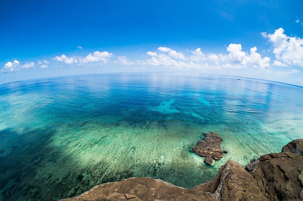
Ly Son Island sits in the South China Sea approximately 30 kilometres northeast of Quang Ngai. It is the remnant of a volcanic field and rises to a maximum elevation of 169 metres at Thoi Loi, though the island's average terrain is low and flat, at around 27 metres above sea level. The island is small enough to cross by motorbike in under an hour, and almost every patch of arable land is given over to cultivation.
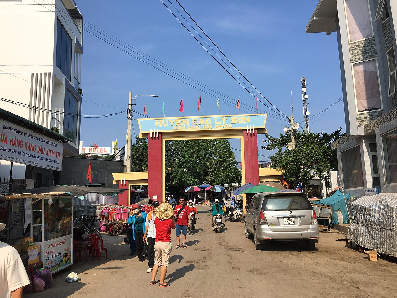
Ly Son is administratively a district-level island unit within Quang Ngai province. Its population of roughly 22,000 people is concentrated in two main island areas: the larger Lon Island (đảo Lớn) and the smaller Be Island (đảo Bé), accessible by a short separate boat ride. Infrastructure has expanded considerably since the early 2010s, with electricity cables laid under the sea, improved port facilities, and a growing number of guesthouses.
Getting there: the Sa Ky ferry
The standard route to Ly Son is the high-speed ferry from Sa Ky port, which lies on the coast roughly 20 kilometres from Quang Ngai city. The crossing takes approximately one hour on a fast boat. Slower cargo-passenger vessels also operate but are rarely used by independent travellers. There is no airport on the island.
Weather cancellations are a significant practical consideration. The ferry halts whenever seas are rough enough to make the crossing unsafe, which happens most frequently between September and January when the island is exposed to north-east monsoon swells and passing typhoons. Passengers who have already reached the island can find themselves stranded for several days at a time. The ferry operator makes cancellation decisions on the morning of departure; there is no reliable advance schedule during rough-weather months. For current conditions and frequency, checking locally in Quang Ngai on the morning of travel is the practical approach.
Tickets are priced and sold at Sa Ky port. See Money, ATMs and cards for notes on cash access on the island, which is limited.
Thoi Loi crater and volcanic landscape
The dominant geographical feature of Ly Son is Thoi Loi, an extinct volcanic crater that forms the island's highest point. The crater rim offers views across the garlic fields below and out to the South China Sea. A path leads up through scrub vegetation; the walk is short but exposed to sun and wind. The crater's interior holds a small lake that varies in size depending on rainfall.
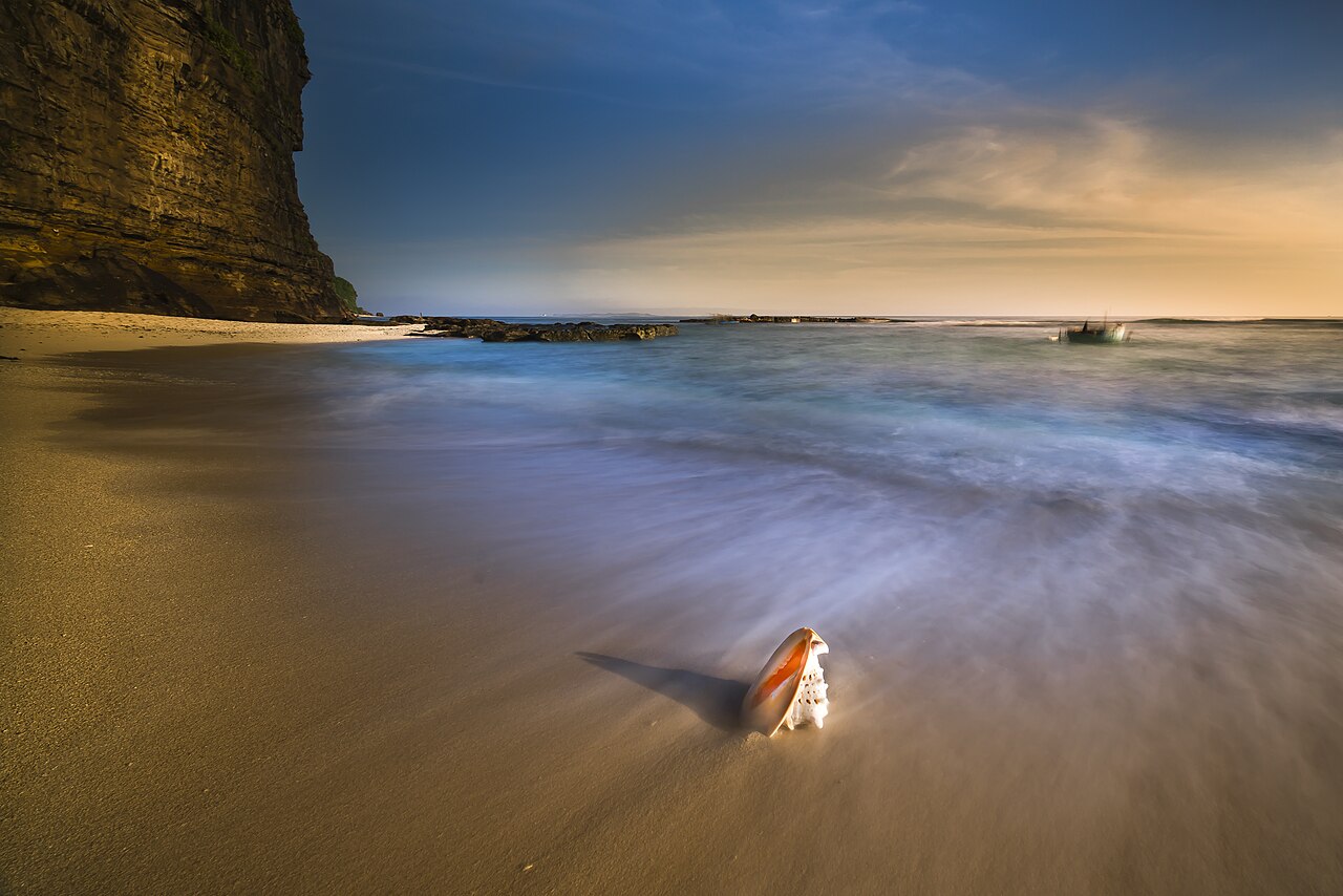
The volcanic origin of Ly Son is visible throughout the island in the form of basalt rock formations along the coastline. The most photographed is the Cong Hang arch and the surrounding cliff faces of dark columnar basalt on the island's north coast, shaped by wave erosion over geological time. These formations give the coastline a markedly different appearance from the sandy beaches typical elsewhere in south-central Vietnam.
Hang Pagoda and historical sites
Hang Pagoda (Chùa Hang) is built into a sea cave on the island's south-west coast. The pagoda is associated with the Cham cultural presence that preceded Vietnamese settlement and incorporates older stonework within a Buddhist structure that has been rebuilt and modified over centuries. The cave setting — with the altar facing the sea through the cave mouth — is architecturally unusual. The site is considered sacred by local residents and remains an active place of worship.
Ly Son also has a number of communal houses (đình) and smaller shrines associated with the families of the Hoang Sa flotilla, the sailors from this island who were sent, beginning in the seventeenth century under the Nguyen lords, to patrol, survey, and harvest resources from the Paracel Islands (Hoang Sa). Many did not return. The memorials and graves associated with these men — some of which are symbolic, as bodies were rarely recovered — are scattered across the island and are an important part of local identity. The history of the flotilla is directly connected to Vietnam's ongoing sovereignty claims over the Paracels, a dispute with China that remains unresolved.
Garlic and onion cultivation
Ly Son's most distinctive agricultural product is its garlic, grown in the island's volcanic soil mixed with sand. The garlic is planted in rectangular plots that cover the interior of the island and much of the flat land between villages. Local garlic (tỏi Lý Sơn) has a reputation for stronger flavour than mainland-grown varieties, attributed to the mineral composition of the basalt-derived soil and the island's salt-laden air. It carries a geographical indication designation.
The planting season runs roughly from October to December, and the harvest takes place between January and April, with peak activity in February and March. During harvest the fields are particularly photogenic, with rows of white bulbs laid out to dry. Red onion (hành tím) is grown alongside garlic and is also sold as a local speciality. Both crops are exported to the mainland and, in smaller quantities, to regional markets. The fields are worked by hand using techniques that have changed relatively little over generations, though the workforce has declined as younger islanders move to the mainland for work.
When to visit and overnight stays
The practicable visiting window is broadly March to August. Temperatures rise steadily from March into June and July, with June and August being the warmest months. Rainfall during this period is low and the ferry runs reliably. September brings the start of the rainy season in earnest, and October and November see the heaviest rainfall of the year, typically exceeding 400 mm in October. From September onwards, typhoon risk and rough seas make ferry cancellations common. See When to go: weather by region for the broader south-central pattern.
A day trip from Sa Ky is physically possible — the fast ferry allows several hours on the island — but does not allow time to reach Be Island, explore the crater, and visit the pagoda in a relaxed manner. Staying overnight on Lon Island gives access to early mornings in the garlic fields and the option of renting a motorbike to circumnavigate the coastline at a slower pace. Accommodation is available in guesthouses across the island; standards are modest by city measures. Be Island requires a separate boat and has very limited facilities; those who stay there overnight should confirm accommodation availability in advance.
Connectivity on the island is reasonable but not consistent. See SIM cards and eSIMs for notes on coverage in remote locations.
Practical notes
Sa Ky port is reached by road from Quang Ngai city. Quang Ngai itself is served by train and bus from Da Nang and Quy Nhon, and has an airport with limited domestic connections. Most travellers route via Da Nang, which has the region's main international airport. Hoi An is a common base for visitors exploring the south-central coast before or after Ly Son.
ATM access on the island is limited to one or two machines that are not always stocked; carrying sufficient cash from the mainland is advisable. See Money, ATMs and cards. Foreign visitors require a valid visa or e-visa for Vietnam; see Vietnam e-visa. There are no particular entry requirements specific to Ly Son beyond standard national entry rules. For general awareness of local scams and safety considerations applicable to island destinations, see Safety and common scams.
Climate by month
Long-run averages, not a forecast. Reference period: 2015–2024. Source: ERA5 reanalysis (Copernicus) via the Open-Meteo archive API.
Show the numbers
| Month | High °C | Low °C | Rain mm | Rain days | Humidity % |
|---|---|---|---|---|---|
| January | 23.8 | 22.6 | 136 | 19 | 81 |
| February | 23.8 | 22.5 | 62 | 10 | 83 |
| March | 25.2 | 23.9 | 36 | 6 | 87 |
| April | 26.5 | 25.2 | 34 | 5 | 88 |
| May | 28.6 | 27.2 | 39 | 7 | 87 |
| June | 29.7 | 28.3 | 32 | 4 | 83 |
| July | 29.6 | 27.9 | 74 | 10 | 81 |
| August | 30.1 | 28.3 | 72 | 9 | 79 |
| September | 29.3 | 27.3 | 289 | 18 | 80 |
| October | 27.7 | 25.9 | 423 | 26 | 82 |
| November | 26.6 | 25.1 | 361 | 24 | 82 |
| December | 24.8 | 23.5 | 286 | 25 | 81 |
Where it is
Also known as / see also
Nearby
Referenced by
Sources
- ERA5 climate normals — Copernicus / Open-Meteo (CC BY 4.0) accessed 30 August 2026
Supports: monthly temperature and rainfall normals, and elevation - Vietnam National Authority of Tourism — VNAT accessed 29 August 2026
Supports: the rules and definitions on this page
Current Last verified: 31 August 2026. Rules, fares and prices change — check the official source before acting on anything here. Report a mistake.
Picture credits (5)
Ly Son Islands (15004072582), minhphuc_99kdd, Public domain, Wikimedia Commons · Ly Son Islands (15004618505), minhphuc_99kdd, Public domain, Wikimedia Commons · Ly Son Islands (15194529068), minhphuc_99kdd, Public domain, Wikimedia Commons · Background-3062008, Quangpraha, CC0, Wikimedia Commons · Cổng chào trên Huyện Đảo Lý Sơn - Quảng Ngãi, VuTuanHung1804, CC BY-SA 4.0, Wikimedia Commons