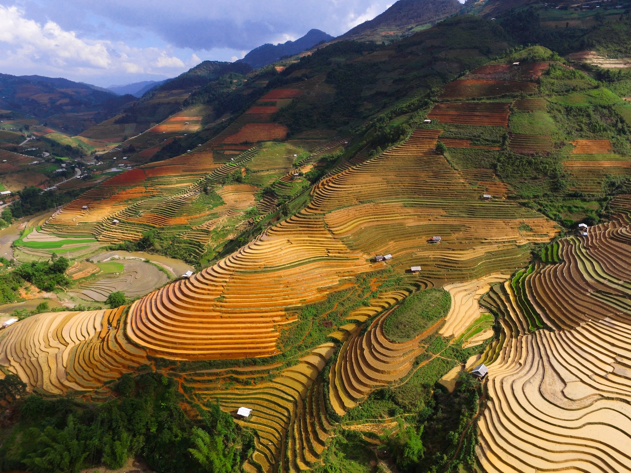
NorthwestTây Bắc Bộ
Vietnam's high mountain interior, known for terraced rice fields, ethnic minority cultures and the country's tallest peaks.
What the Northwest is
The Northwest — Tây Bắc Bộ in Vietnamese — is the broad highland region of Vietnam that runs along the western side of the country from Hòa Bình province in the south-east to the Chinese border in the north. It is defined less by administrative lines than by geography: a tangle of ranges belonging to the Hoàng Liên Sơn massif, river valleys carved by the Black River (Sông Đà) and Red River (Sông Hồng), and high plateaux sitting above 1,000 metres. Fansipan, at 3,143 metres the highest point in Vietnam and in the former French Indochina, rises above Sapa in the north of the region. The area is not a single province or administrative unit; it is a geographic and cultural designation.
The population is ethnically diverse. Kinh (ethnic Vietnamese) settlers are concentrated in lowland towns and along major roads, but the uplands are home to communities including the H'mông, Thái, Dao, Tày, Mường, and many smaller groups, each with distinct languages, textile traditions, agricultural practices and religious customs.
Administrative note
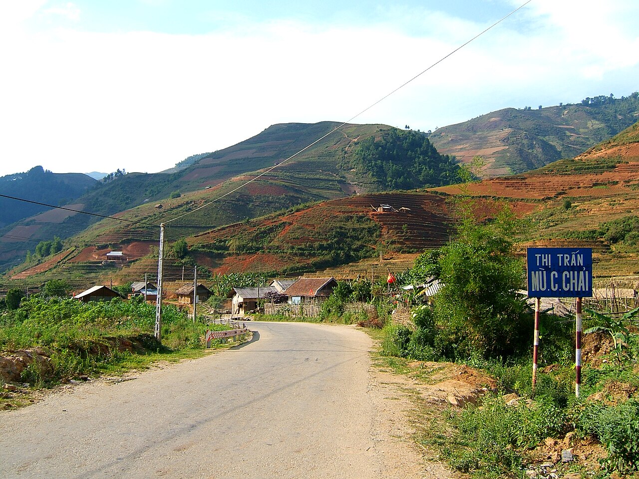
The Northwest is a geographic region, not an administrative unit, so the 2025 provincial mergers affect how it is governed rather than whether the region exists. Following Vietnam's consolidation of 63 provincial-level units into 34 on 1 July 2025, the former provinces of Lai Châu, Điện Biên, Sơn La, Hòa Bình, and Lào Cai were reorganised and merged into fewer provincial units. The districts that previously subdivided those provinces were abolished entirely; administration now runs directly from province to commune level. The landscapes, villages, roads and cultural sites of the Northwest are unchanged by this reorganisation. Place names such as Sapa, Mù Cang Chải, Điện Biên Phủ and Mai Châu refer to locations and settlements that remain exactly where they always were.
Seasons and when to visit
The Northwest has a pronounced monsoon climate modified by altitude. The broad pattern runs as follows:
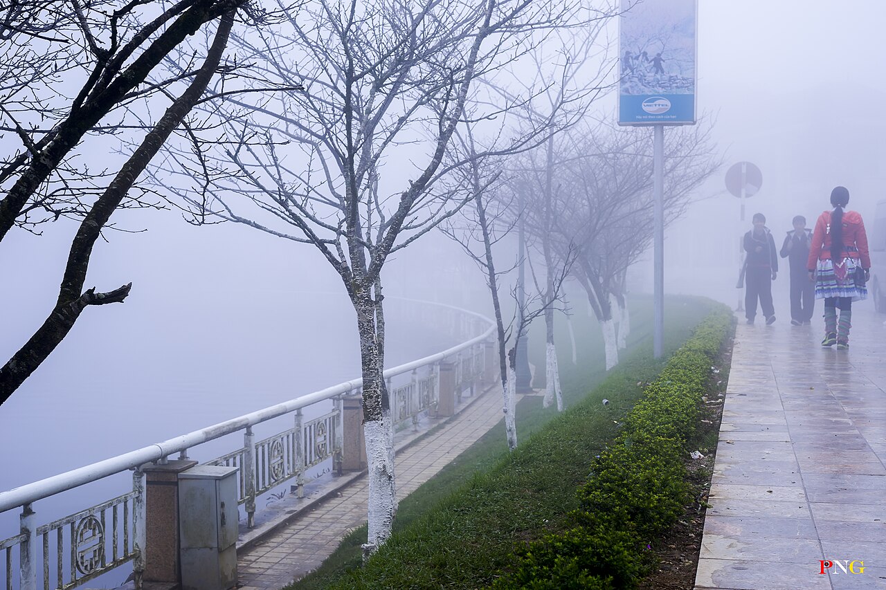
- October to March: the dry, cooler season. Rice terraces are harvested by late October, leaving golden stubble. Visibility on mountain passes is often good. Temperatures at altitude, particularly around Sapa and on the Khau Phạ Pass, can drop near or below freezing at night from December through February, occasionally bringing frost or, rarely, snow on the highest ridges.
- April to June: a transitional period. Terraces are flooded and planted from late April, producing the vivid green water-mirror landscapes. Haze is common, reducing long views.
- July to September: the monsoon. Roads in the far northwest are prone to landslides, particularly along routes through Điện Biên and Lai Châu. The terraces at Mù Cang Chải and Hoàng Su Phì reach peak ripeness in September, which is the most photographed period despite the risk of road disruption.
Prices vary by season, and popular areas around Sapa become crowded during Vietnamese public holidays regardless of weather.
Key places and what distinguishes them
The Northwest contains several distinct sub-areas with different characters:
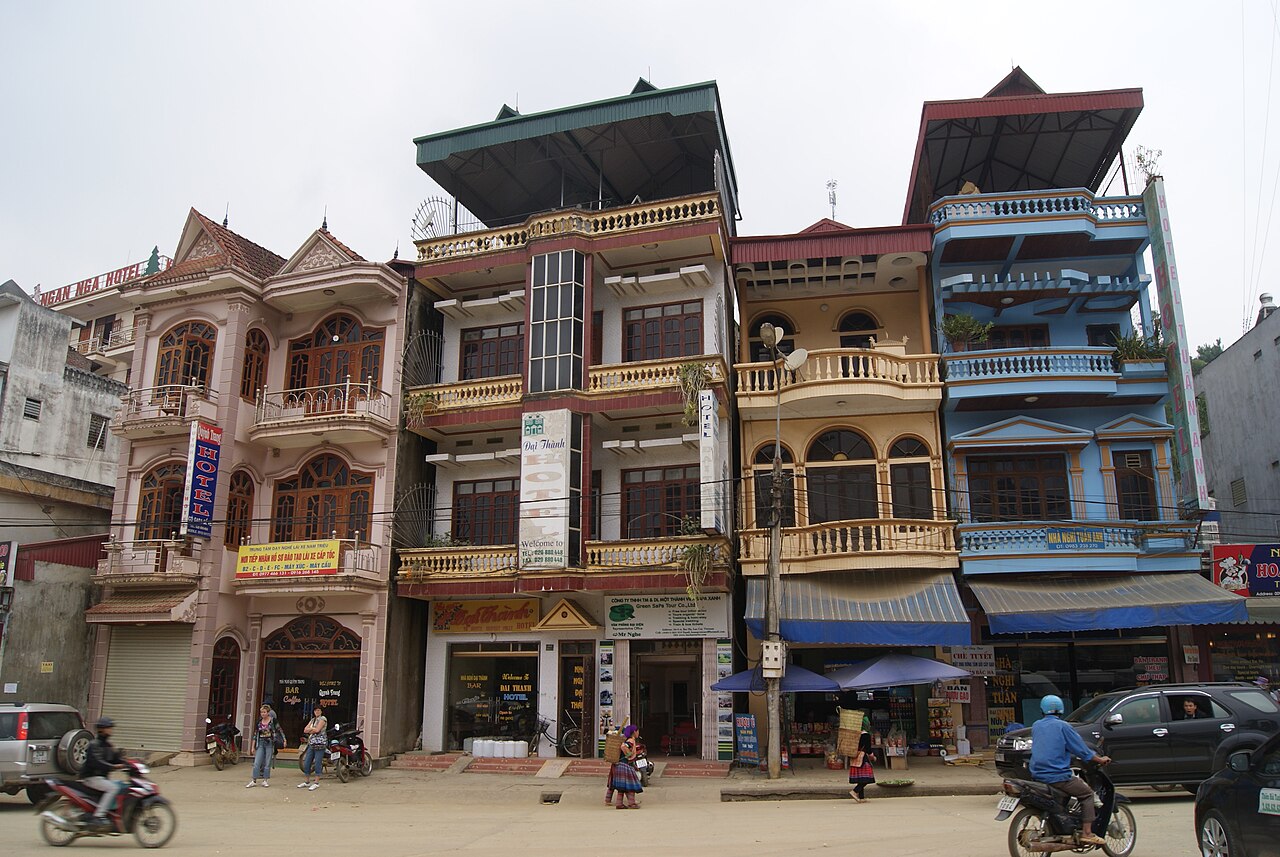
- Sapa and the Hoàng Liên Sơn area: the most-visited part of the region, accessible by overnight train to Lào Cai then road. Fansipan is reached by cable car or on foot. The Mường Hoa valley below Sapa contains large H'mông and Dao villages. The town itself has undergone heavy hotel and resort development since the 1990s.
- Mù Cang Chải: a district-level area in the former Yên Bái province, known for some of the most extensive terraced rice systems in the country, worked primarily by Black H'mông communities. Less infrastructure than Sapa.
- Mai Châu: a broad valley populated largely by White Thái communities, closer to Hanoi and frequently visited on two- to three-day circuits. The flat valley floor contrasts with the surrounding limestone hills.
- Điện Biên Phủ: a provincial city in the far west, historically significant as the site of the 1954 battle in which Việt Minh forces defeated the French Expeditionary Corps, ending the First Indochina War. The battle sites, bunkers, and the Điện Biên Phủ Museum are preserved.
- The Ha Giang Loop: though geographically in the Northeast, it is often grouped with Northwest itineraries; the Mã Pí Lèng Pass and Đồng Văn Karst Plateau are in Ha Giang province.
Getting there and around
Hanoi is the principal gateway. Overnight sleeper trains run from Hanoi to Lào Cai, the railhead for Sapa. Bus and limousine van services connect Hanoi's Mỹ Đình terminal with Sơn La, Điện Biên Phủ, and other towns; journey times to the far northwest are long — Điện Biên Phủ is roughly ten hours by express bus. Domestic flights operate between Nội Bài (Hanoi) and Điện Biên Phủ airport, significantly reducing travel time to the far west.
Within the region, movement depends almost entirely on road. The main arteries are National Highway 6 (Hanoi–Hòa Bình–Sơn La–Điện Biên Phủ) and Highway 4D (Lào Cai–Sapa). Secondary roads linking villages are often narrow, steep, and in poor repair after heavy rain. Motorbike travel is common among independent travellers and can be arranged with or without a driver-guide. Car hire with driver is available from Hanoi operators. Public buses serve the main towns but schedules and route information should be verified locally, as services change.
What first-time visitors often misunderstand
Several assumptions frequently cause difficulty for visitors new to the Northwest:
- Distance versus travel time: maps show towns that appear close together but are separated by hours of mountain road. A 100 km journey can take four hours or more.
- Trekking access: many villages and viewpoints require a local guide, both for navigation and because some communities restrict independent access. Engaging a guide from the relevant ethnic community is also the primary way that trekking revenue reaches those communities.
- Weather at altitude: visitors arriving from Hanoi in summer clothing are sometimes unprepared for cold nights at Sapa even in May. Packing layers is advisable year-round above 1,500 metres.
- The landscape is agricultural, not wilderness: the terraced slopes that define the visual identity of the region are maintained rice-growing systems, not natural formations. They reflect centuries of labour by upland farming communities, primarily H'mông and Dao groups. They require water management, seasonal flooding and draining, and constant repair.
- Sapa town versus the surrounding area: the town of Sapa has been extensively developed for tourism; the valley and village experience it trades on is found several kilometres away on foot or by vehicle.
Where to go in the Northwest
5 lieux Destination
Bac HaBắc Hà
Sunday hill-tribe market, Flower Hmong
 Destination
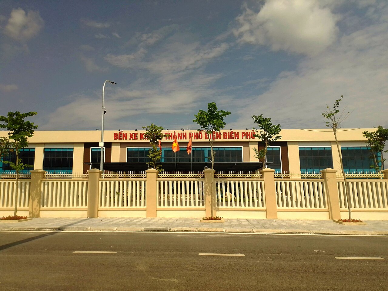
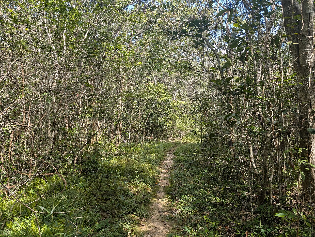
Dien Bien PhuĐiện Biên Phủ
1954 battlefield that ended French Indochina
 Destination
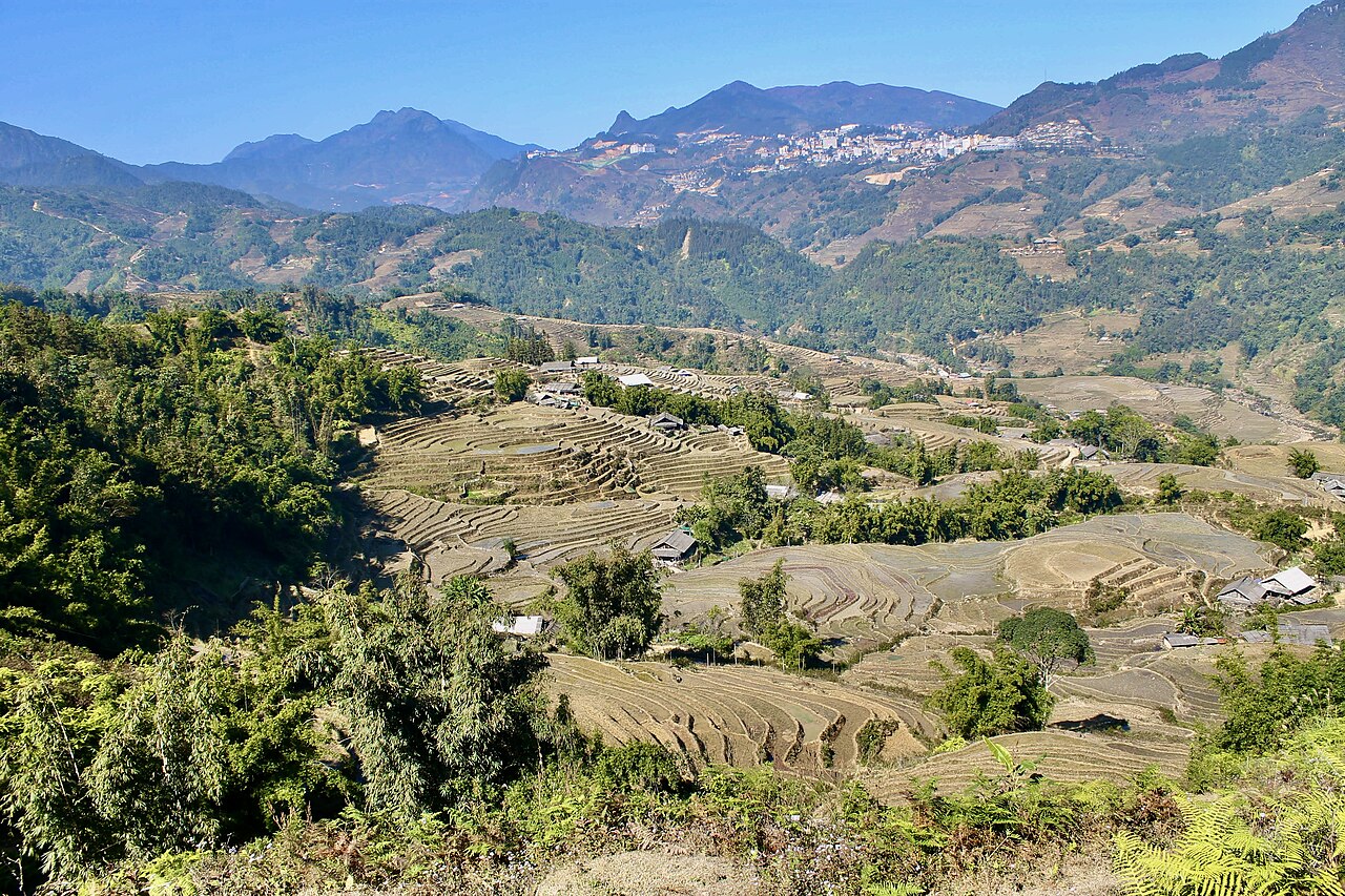
Moc ChauMộc Châu
Tea hills, plum and mustard blossom, dairy plateau
 Destination
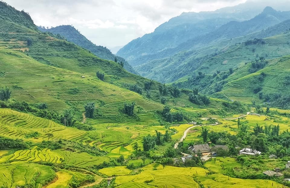
SapaSa Pa
Rice-terrace trekking, Hmong and Dao villages, Fansipan
 Destination
Y TyY Tý
Cloud-hunting, Ha Nhi villages, terraces near the Chinese border
The provincial units today
What merged into what →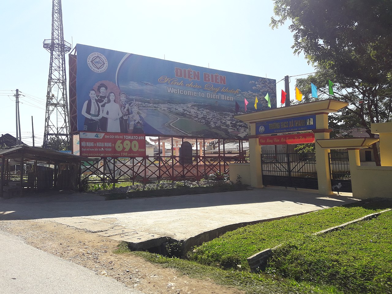 Province
Dien BienĐiện Biên
One of Vietnam's 34 provincial-level units, unchanged by the 2025 reorganisation.
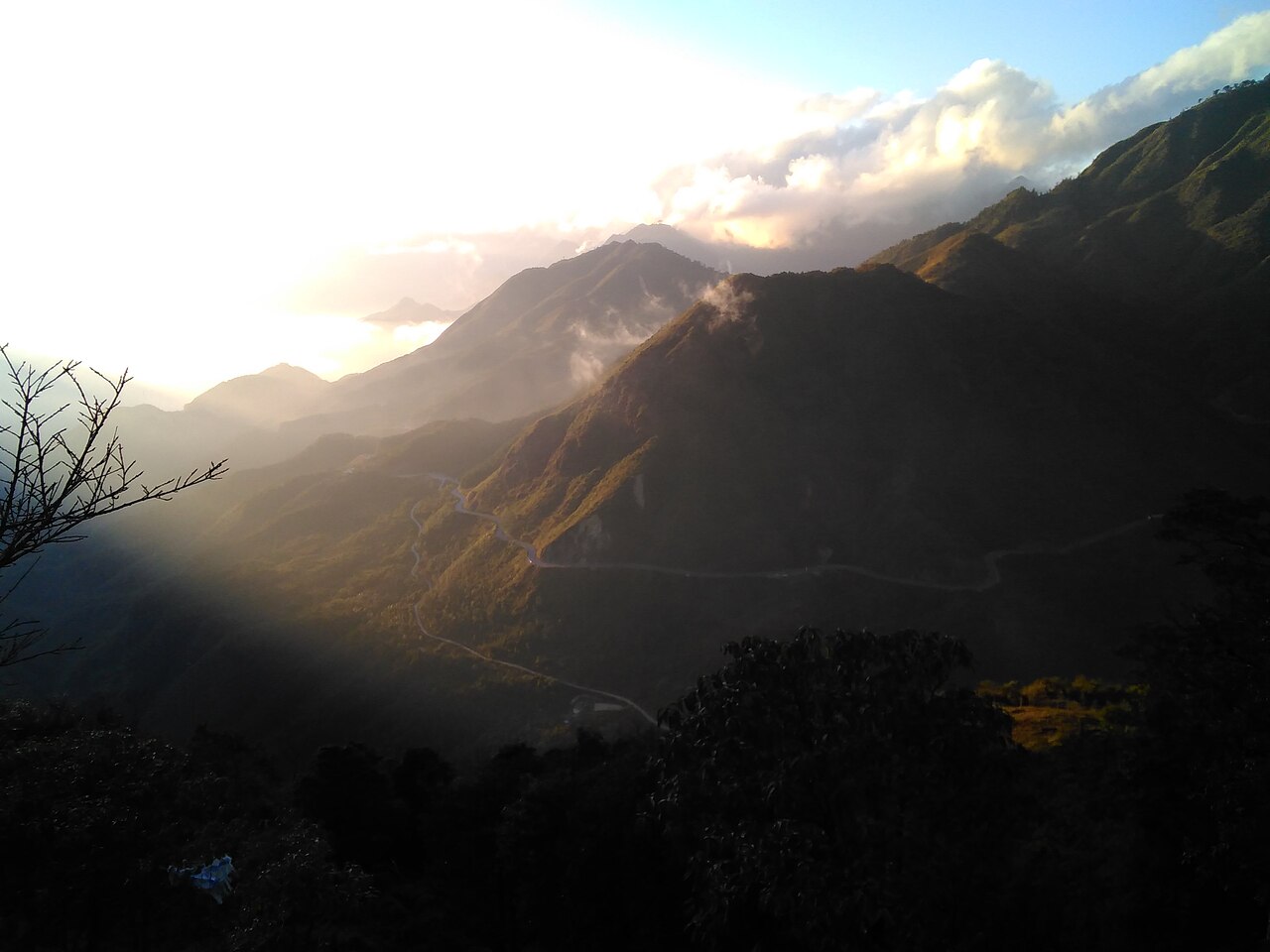 Province
Lai ChauLai Châu
One of Vietnam's 34 provincial-level units, unchanged by the 2025 reorganisation.
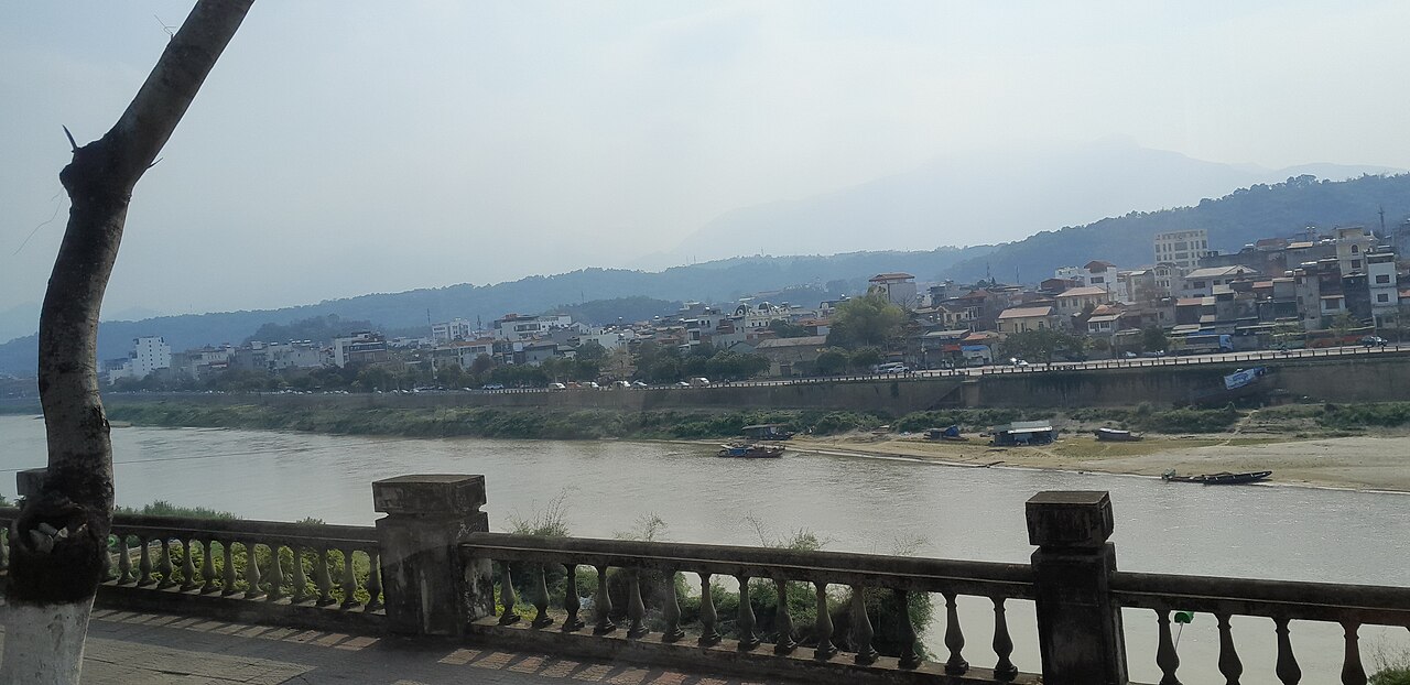 Province
Lao CaiLào Cai
One of Vietnam's 34 provincial-level units, enlarged on 1 July 2025.
 Province
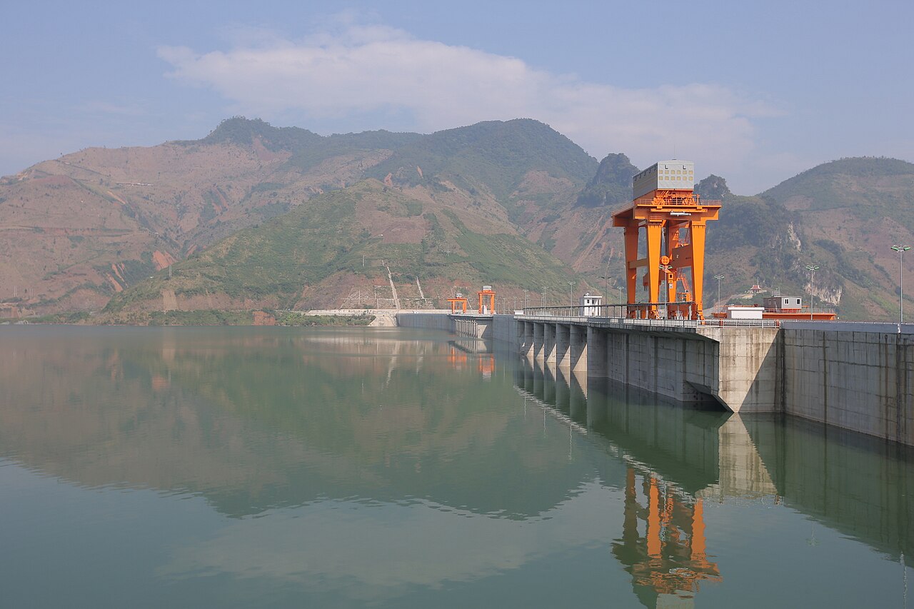
Son LaSơn La
One of Vietnam's 34 provincial-level units, unchanged by the 2025 reorganisation.
Anciennes provinces
Merged away in 2025 and kept as pages, because maps, guidebooks and booking sites still use these names.
 unité ancienne
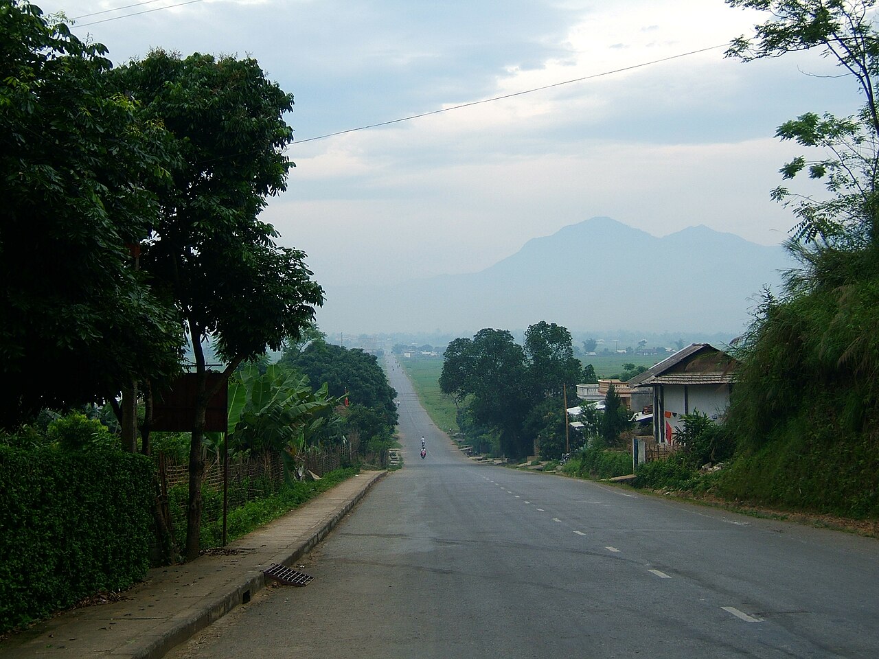
Yen BaiYên Bái
A province of Vietnam until 1 July 2025, when it was merged into Lao Cai.
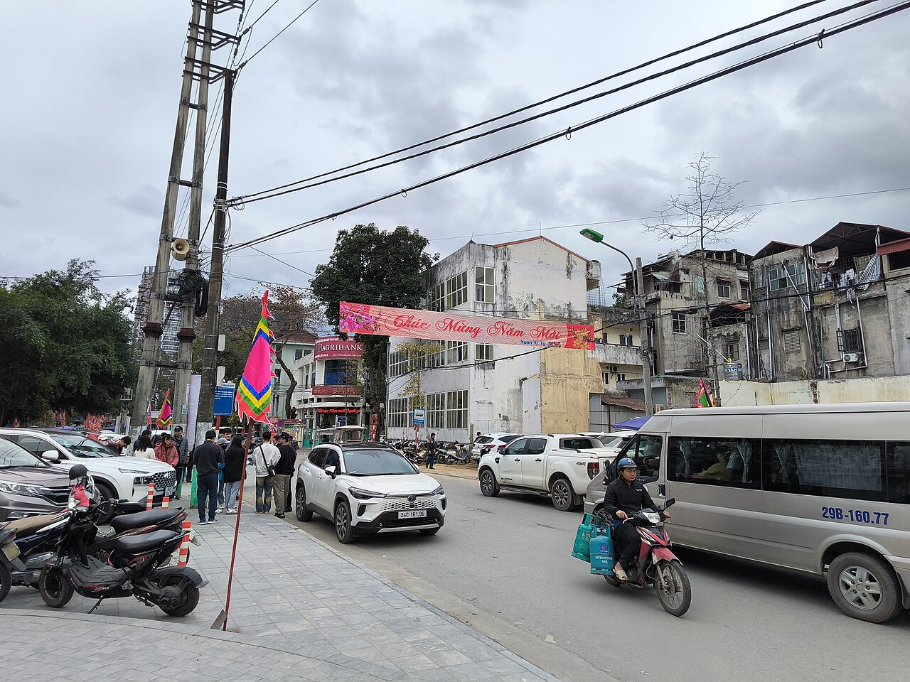 unité ancienne
Lào Cai
Border city in northwest Vietnam, formerly a provincial city and now part of the merged Lào…
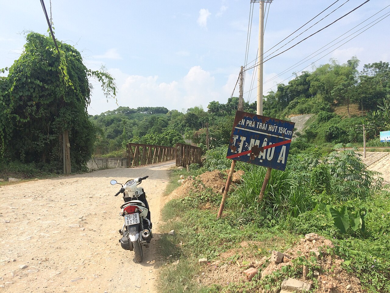 unité ancienne
Yên Bái
Former provincial city on the Red River in Vietnam's northwest, now administered under the…
Picture credits (18)
Terraces in Che Cu Nha commune, Mu Cang Chai (Unsplash), Doan Tuan danny_pham93, CC0, Wikimedia Commons · Mu Cang Chai, Viethavvh, Public domain, Wikimedia Commons · Fog in Tây Bắc, Phong Nguyen, CC BY 2.0, Wikimedia Commons · Buildings in the centre of Bắc Hà, Vietnam - 20131027, Truth'soutthere, CC BY-SA 3.0, Wikimedia Commons · November 2024, Binh Chau - Phuoc Buu nature reserve, along South of central road 17, Syced, CC0, Wikimedia Commons · Phadin Hotel – Quân khu 2, Ioe2015, CC BY-SA 4.0, Wikimedia Commons · Welcome to Dien Bien banner, Ioe2015, CC BY-SA 4.0, Wikimedia Commons · Sunset on O Quy Ho pass, Dansapa, CC BY-SA 4.0, Wikimedia Commons · Border China.Red River.Lao Cai (17735), JakobHosp, CC BY 4.0, Wikimedia Commons · Sơn La Dam reservoir, [Tycho] , http://shansov.net, CC BY-SA 3.0, Wikimedia Commons · Pa Kha - sunrise, Hardscarf, CC BY-SA 4.0, Wikimedia Commons · Bến xe khách thành phố Điện Biên Phủ 2022, Ioe2015, CC BY-SA 4.0, Wikimedia Commons · November 2024, Binh Chau - Phuoc Buu nature reserve, along South of central road 13, Syced, CC0, Wikimedia Commons · Rice terraces in Sapa, Vietnam, Eerin25, CC0, Wikimedia Commons · Kiếm Anh, CC BY-SA 4.0, Wikimedia Commons · Nghĩa Lộ road, Viethavvh, Public domain, Wikimedia Commons · 源義信, CC BY 4.0, Wikimedia Commons · Tiên Ông, CC BY-SA 3.0, Wikimedia Commons