Mekong DeltaĐồng bằng sông Cửu Long
Vietnam's great river delta: nine Mekong channels, floating markets, rice paddies and fruit orchards covering the far south.
What the Mekong Delta is
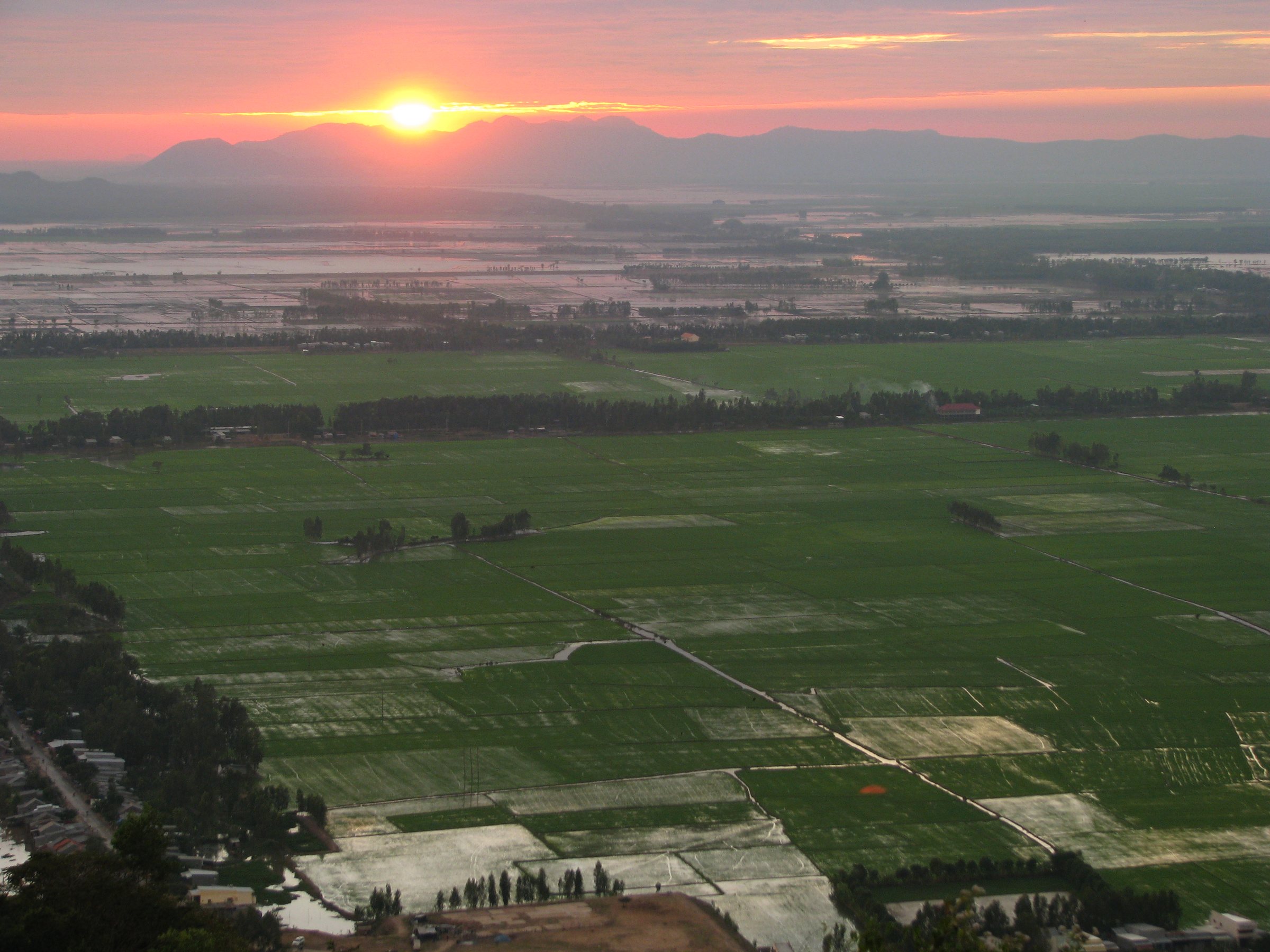
The Mekong Delta — Vietnamese: Đồng bằng sông Cửu Long, literally "Nine Dragon River Plain" — is the southernmost region of Vietnam, covering roughly 40,000 square kilometres of alluvial flatland. The Mekong River, after travelling nearly 4,500 kilometres from the Tibetan Plateau through China, Myanmar, Laos, Thailand and Cambodia, fans out here into nine main distributaries before emptying into the South China Sea.
The delta produces more than half of Vietnam's rice and the majority of its freshwater fish and tropical fruit. Coconut palms, longan, durian, rambutan and dragon fruit orchards line the canal banks. The region is home to roughly 17 million people, including significant Khmer Krom and Cham communities alongside the Kinh majority. The Khmer influence is visible in the red-brick pagodas scattered across Soc Trang and Tra Vinh provinces.
The delta is not an administrative unit but a geographic and cultural region. Since the 2025 provincial consolidation, its territory falls within a reduced number of provinces under Vietnam's two-tier province/commune system.
Seasons and when to visit
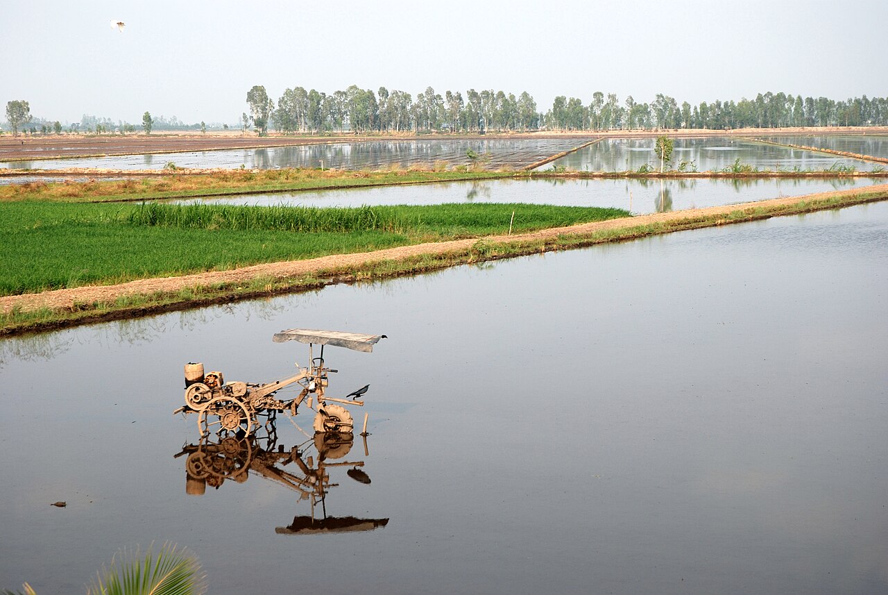
The delta has two seasons. The dry season runs roughly from November to April, when canals recede, roads are accessible and boat travel is straightforward. This is the period most travellers prefer. The wet season runs from May to October, when the upper delta floods — an event known locally as mùa nước nổi, the "rising water season" — inundating fields and transforming the landscape into an enormous shallow lake.
The flood season is not simply an obstacle. In An Giang and Dong Thap areas, the waters bring enormous quantities of fish and sediment, and local life adapts entirely around them: floating schools, fish traps, lotus harvests and cormorant fishing all belong to this period. Travellers who visit in October or early November see the delta at its most distinctive, though road access to some areas is restricted and mosquito pressure is higher.
Typhoons rarely reach this far south with full force, though tropical depressions bring heavy rainfall from August onward. Prices vary by season, and boat hire availability shifts considerably between dry and wet months.
Key places and how they differ
The delta is large enough that its sub-regions feel meaningfully distinct.
- Can Tho is the delta's largest city and its commercial and transport hub. The Cai Rang floating market, operating in the early morning on the Can Tho River, is the largest wholesale floating market remaining in the delta. Vendors signal their produce by hanging samples from bamboo poles.
- Chau Doc, near the Cambodian border, sits at the junction of the Hau River and the Vinh Te Canal. It is known for its fish-sauce production, its Sam Mountain shrines, and as an entry or exit point for river crossings into Cambodia.
- Ha Tien and the Phu Quoc area sit on the Gulf of Thailand coast, offering a different landscape of limestone outcrops and beaches rather than river channels.
- Ben Tre is the coconut province, where cottage industries process coconut into candy, oil, shells and timber.
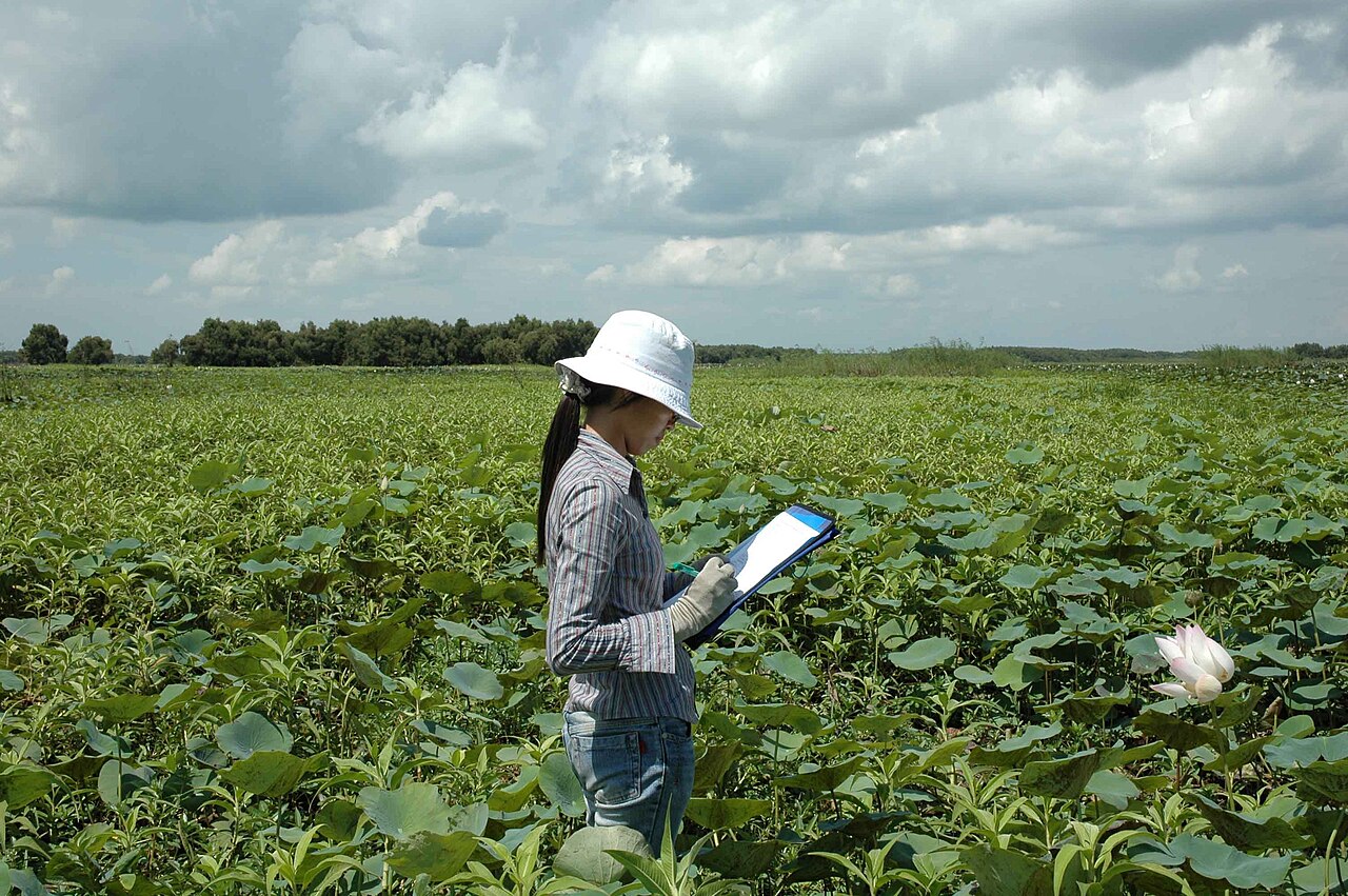
- Dong Thap is the centre of the lotus-growing industry and the location of Tram Chim National Park, a Ramsar-listed wetland and habitat for the sarus crane.
Getting there and around
Can Tho has the delta's main airport, with domestic connections to Hanoi and other cities. Ho Chi Minh City's airports are the usual international gateway; the delta begins roughly 60 kilometres southwest of the city centre.
The main road corridor is National Highway 1 running southwest to Ca Mau, supplemented by Highway 61 and several expressway segments that have reduced journey times from Ho Chi Minh City considerably. Bus services connect most provincial centres to Ho Chi Minh City's Mien Tay terminal and to each other.
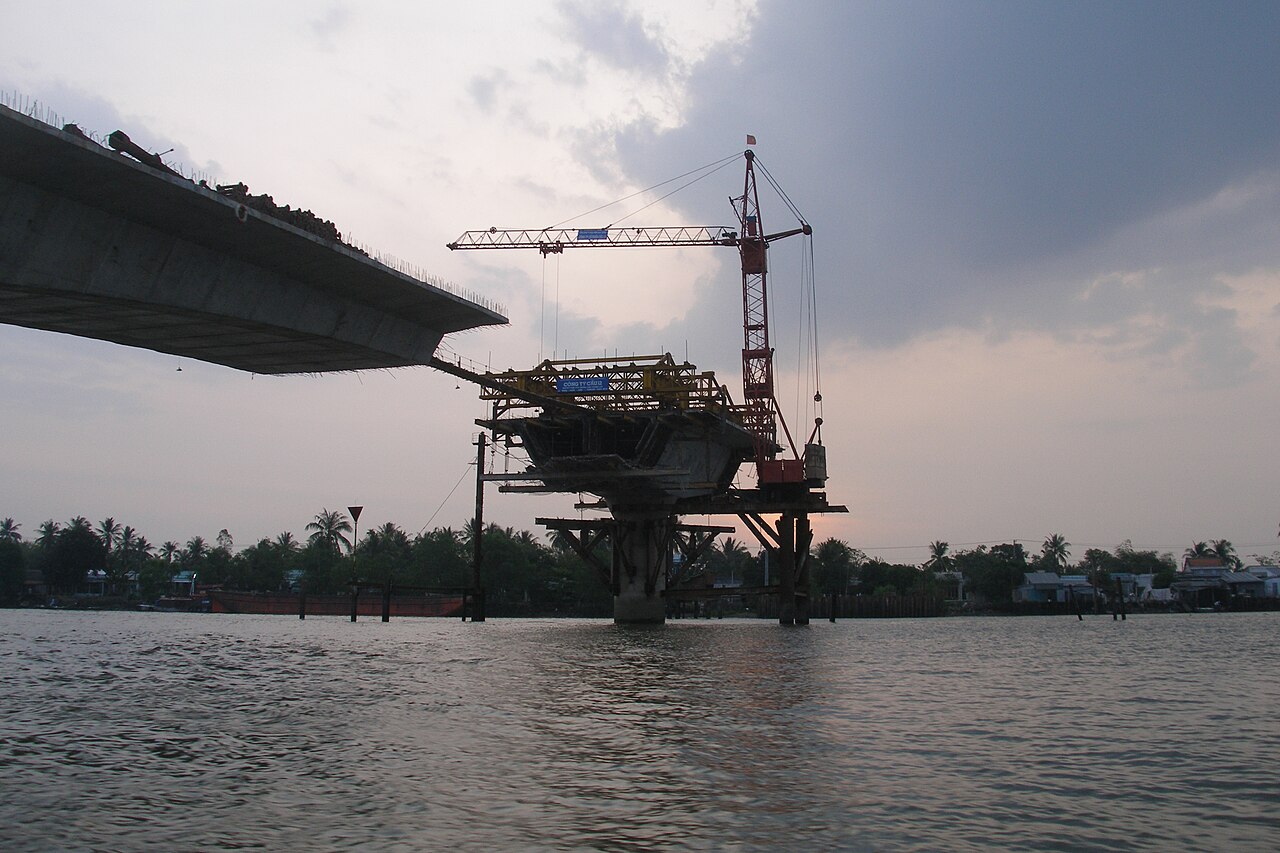
Within the delta, movement by road has become far more practical since the construction of a series of cable-stayed bridges — My Thuan, Can Tho and Cao Lanh bridges being the largest — that replaced the slow car-ferry crossings that once defined delta travel. Motorbikes remain the most flexible way to reach smaller canals and villages. Boat hire is available at most river towns, ranging from small wooden sampans to covered tourist craft for day tours.
The river route from Chau Doc to Phnom Penh via the Binh Di and Tan Chau border crossings is a well-established option for travellers continuing to Cambodia, operated by several competing fast-boat services.
Food and produce
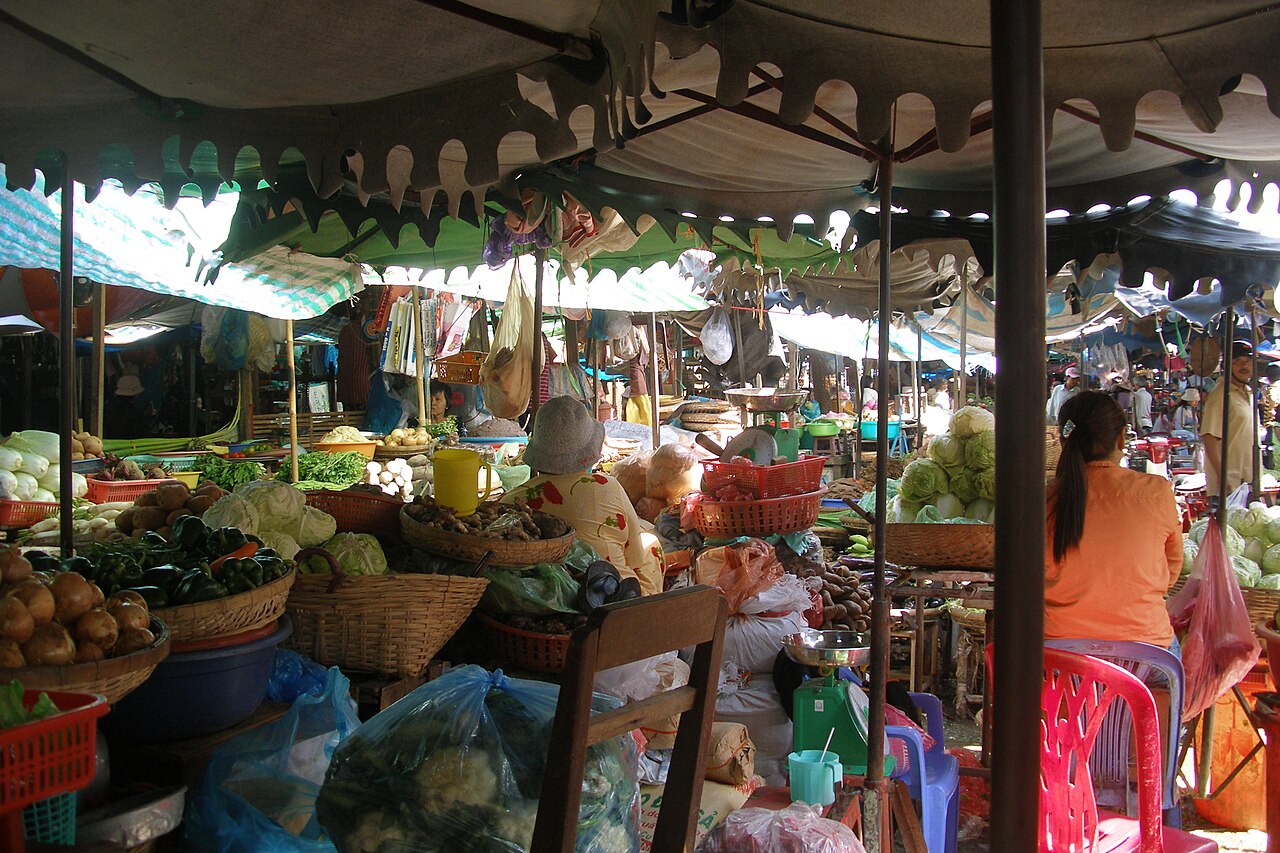
Delta cooking is shaped by abundance: fish, shellfish, pork, coconut milk and an extraordinary variety of fresh herbs and greens. Several dishes are strongly associated with the region.
- Hu tieu — a clear or slightly cloudy noodle soup with pork, shrimp and offal — originated in the delta's Teochew Chinese communities and remains a morning staple across the region.
- Banh xeo — the sizzling rice-flour crepe filled with shrimp, pork fat and bean sprouts — is eaten here wrapped in mustard leaf and rice paper rather than lettuce alone.
- Lau mam is a fermented fish hot-pot, pungent and complex, considered an acquired taste but central to delta identity.
- Ca kho to — caramelised fish braised in clay pots — is a household standard, particularly with catfish from the Hau River.
Fermented fish paste (mắm) is produced at an industrial scale in Chau Doc and used as a base flavouring across the region in ways that distinguish delta cooking from the cuisine of central or northern Vietnam.
What first-time visitors often get wrong
Several misconceptions shape poor trips to the delta.
- Treating it as a day trip from Ho Chi Minh City. One-day tours typically show a narrow, heavily touristed slice around Ben Tre or My Tho. The delta's character — its pace, its waterway logic, its agricultural rhythms — only becomes apparent after a night or two.
- Focusing only on floating markets. The markets at Cai Rang and Phong Dien are genuine working wholesale operations, but they begin before dawn and are largely finished by 8 a.m. Arriving at 9 or 10 a.m. on a tour boat yields a diminished experience. Most retail floating trade has moved to land-based markets.
- Expecting hills or dramatic scenery. The delta is flat — almost entirely below five metres of elevation. Visitors drawn by landscape rather than culture and agriculture may find it underwhelming compared to northern Vietnam.
- Underestimating distances. The delta is large. Travelling from Can Tho to Ca Mau, or from Chau Doc to Ha Tien, takes several hours even on improved roads. Planning that treats the whole delta as one accessible blob leads to rushed itineraries.
- Missing the ethnic and religious diversity. Khmer Buddhist pagodas, Cham mosques, Cao Dai temples and Chinese assembly halls sit within kilometres of each other in parts of the delta and are among its most distinctive cultural features.
Where to go in the Mekong Delta
6 địa điểm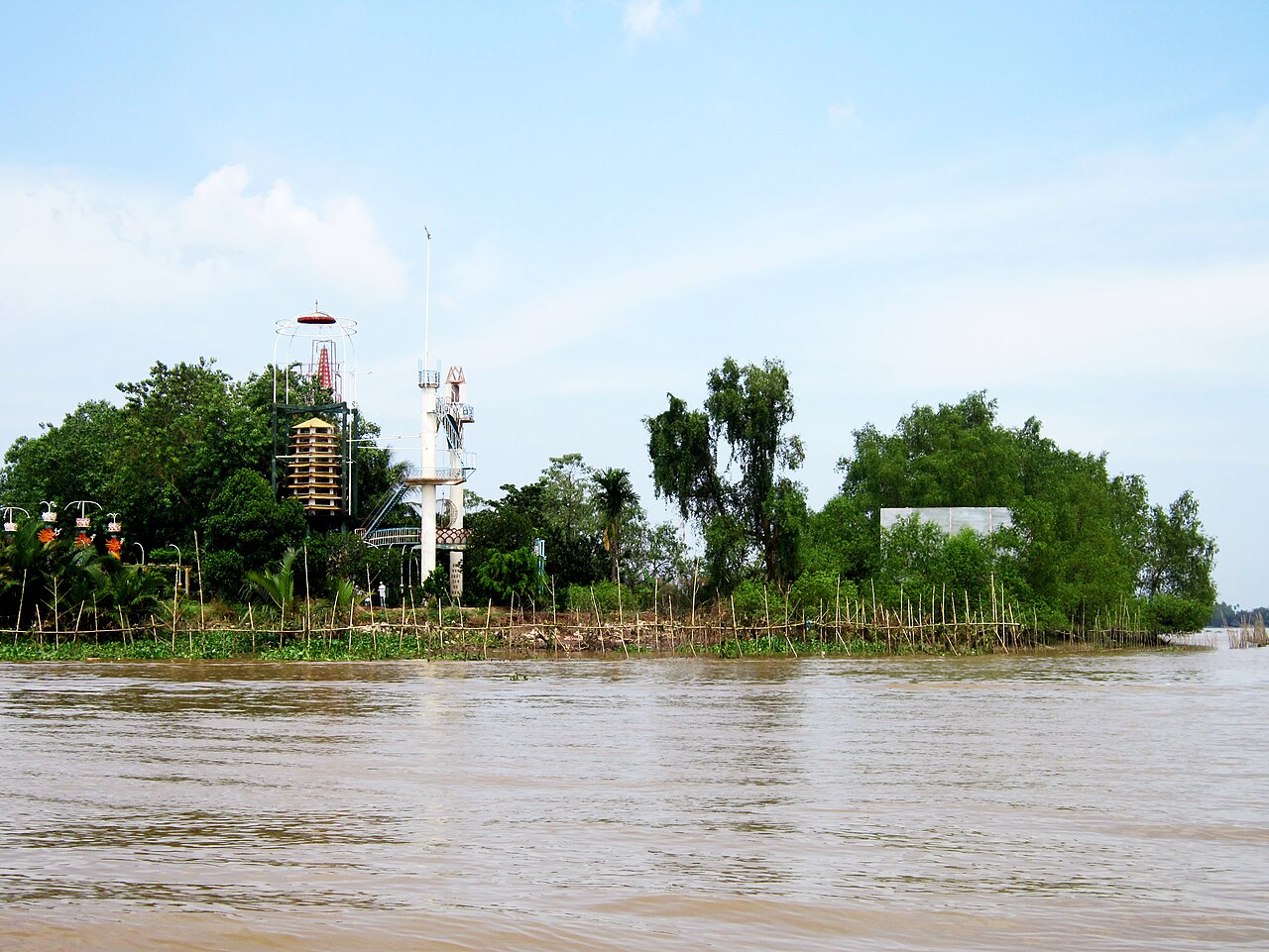 Destination
Ben TreBến Tre
Coconut country, small canals, quieter than My Tho
 Destination
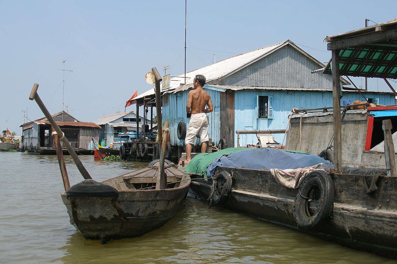
Chau DocChâu Đốc
Sam Mountain, floating fish farms, Cham villages, Cambodia border
 Island
Phu QuocPhú Quốc
Beach resorts, fish sauce, cable car, national park
 National Park
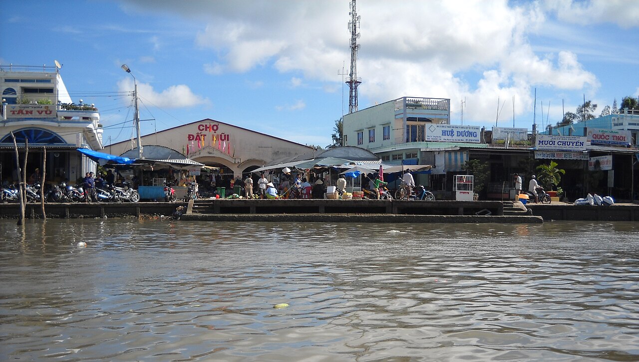
Ca Mau CapeMũi Cà Mau
Vietnam's southernmost point, mangrove biosphere reserve
 Destination
Can ThoCần Thơ
Cai Rang floating market, delta hub city
 National Park
Tram Chim National ParkVườn quốc gia Tràm Chim
Ramsar wetland, sarus cranes
The provincial units today
What merged into what →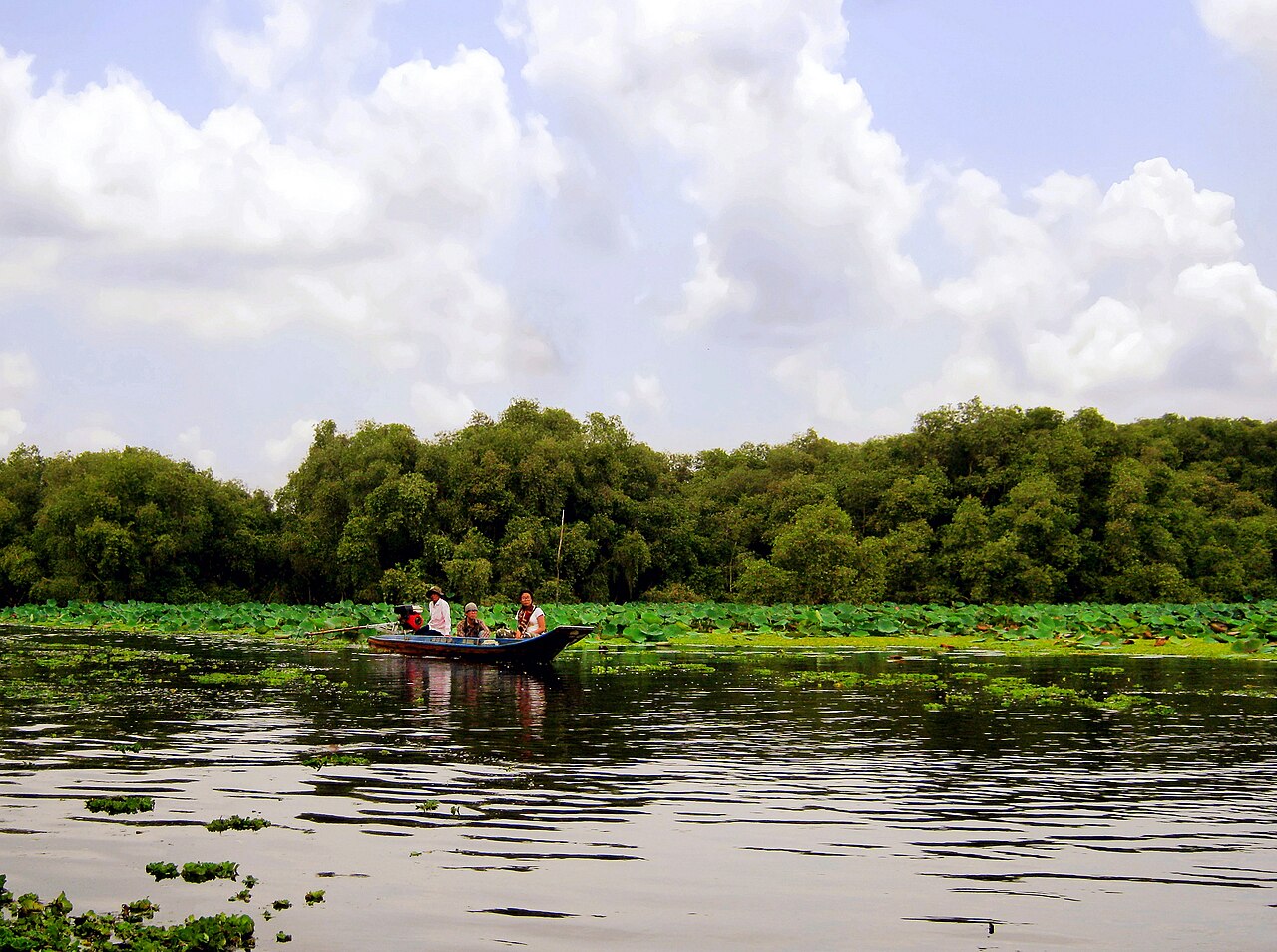 Province
An Giang
Mekong Delta province bordering Cambodia, known for flood-season landscapes, Sam Mountain…
 Province
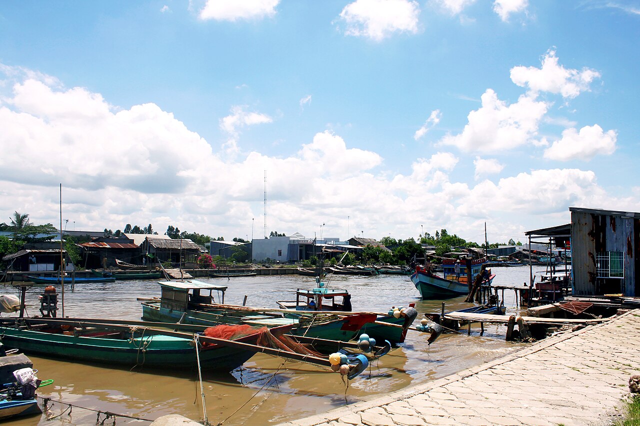
Ca MauCà Mau
Vietnam's southernmost province, known for mangrove wilderness, the Ca Mau Cape and a tidal…
 Municipality
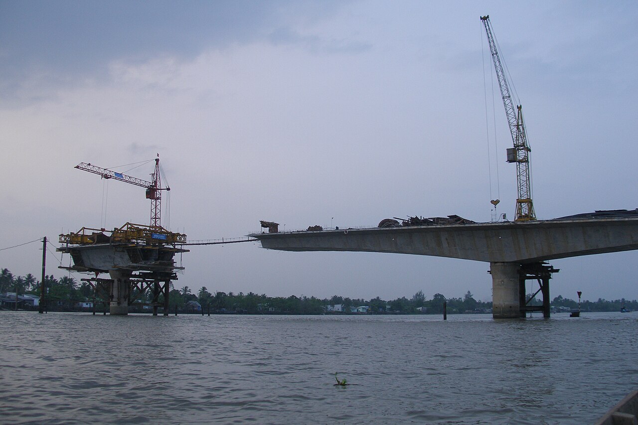
Can ThoCần Thơ
Mekong Delta municipality formed in 2025 from Can Tho, Hau Giang and Soc Trang; centre of…
 Province
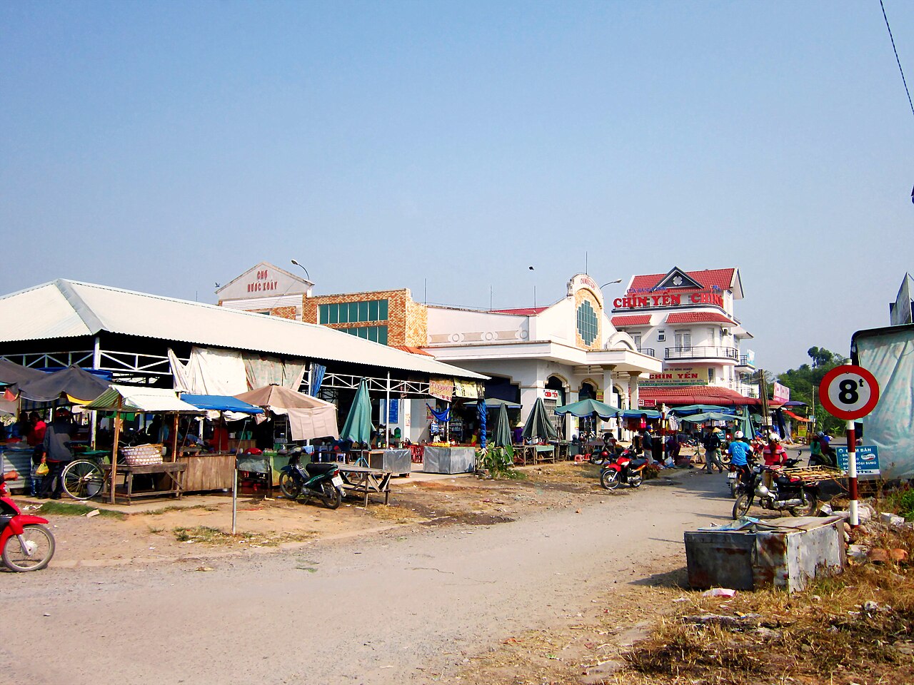
Dong ThapĐồng Tháp
Mekong Delta province known for lotus cultivation, seasonal floods and Tram Chim National…
 Province
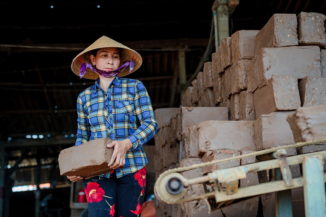
Vinh LongVĩnh Long
A Mekong Delta province covering the former Ben Tre, Tra Vinh and Vinh Long areas, known…
Antigas províncias
Merged away in 2025 and kept as pages, because maps, guidebooks and booking sites still use these names.
 đơn vị cũ
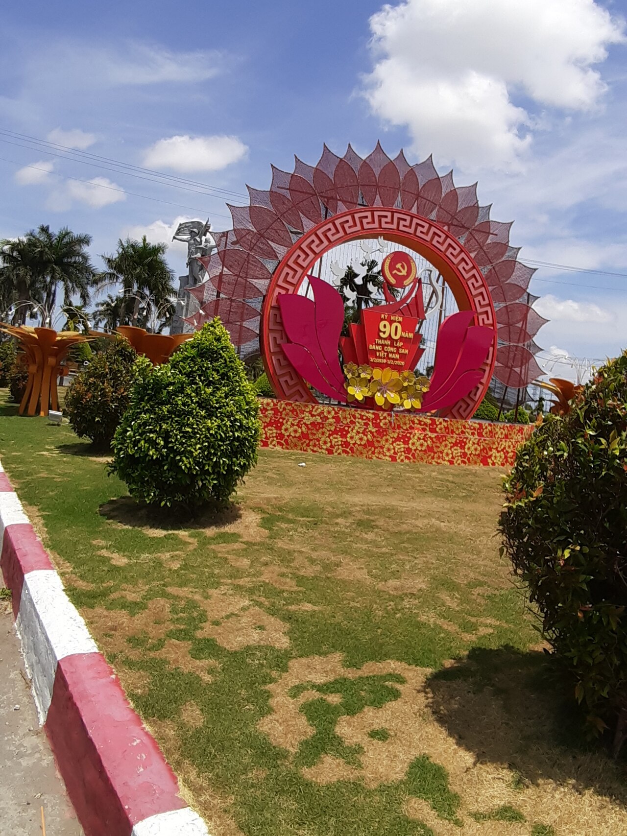
Bac LieuBạc Liêu
Former Mekong Delta province merged into Ca Mau in 2025, known for salt flats, shrimp…
 đơn vị cũ
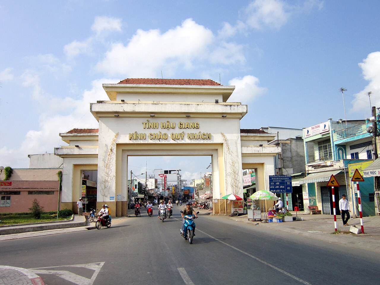
Hau GiangHậu Giang
Former Mekong Delta province merged into Can Tho on 1 July 2025; known for canals, rice…
 đơn vị cũ
Kien GiangKiên Giang
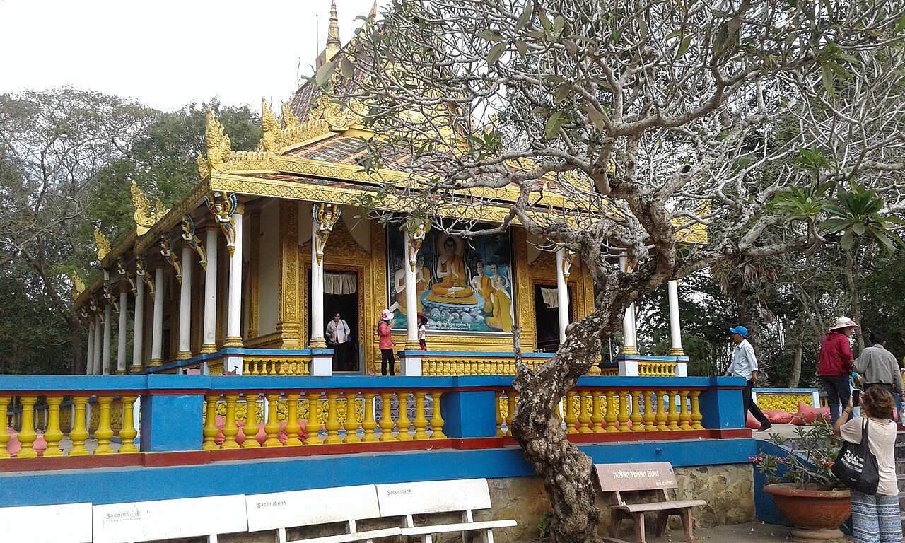
Phu Quoc, Ha Tien and the Nam Du islands are in the former Kien Giang.
 đơn vị cũ
Soc TrangSóc Trăng
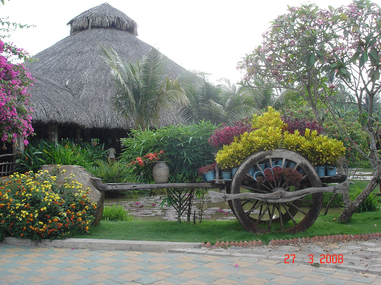
Former Mekong Delta province now part of Cần Thơ, known for Khmer temples, Chinese…
 đơn vị cũ
Tien GiangTiền Giang
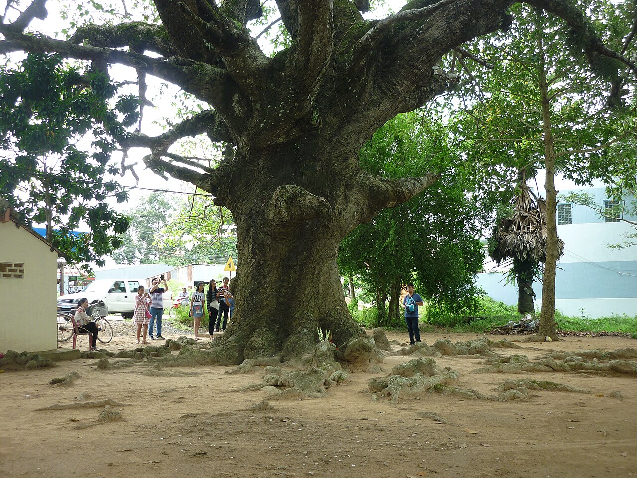
My Tho is in the former Tien Giang.
 đơn vị cũ
Tra VinhTrà Vinh
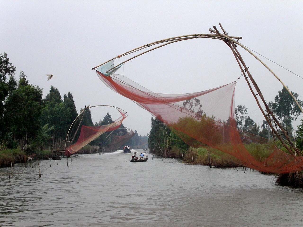
Mekong Delta peninsula known for Khmer pagodas, stork sanctuaries and a large…
 đơn vị cũ
Cà Mau
The southernmost city in Vietnam, formerly the provincial capital of Cà Mau, now governed…
 đơn vị cũ
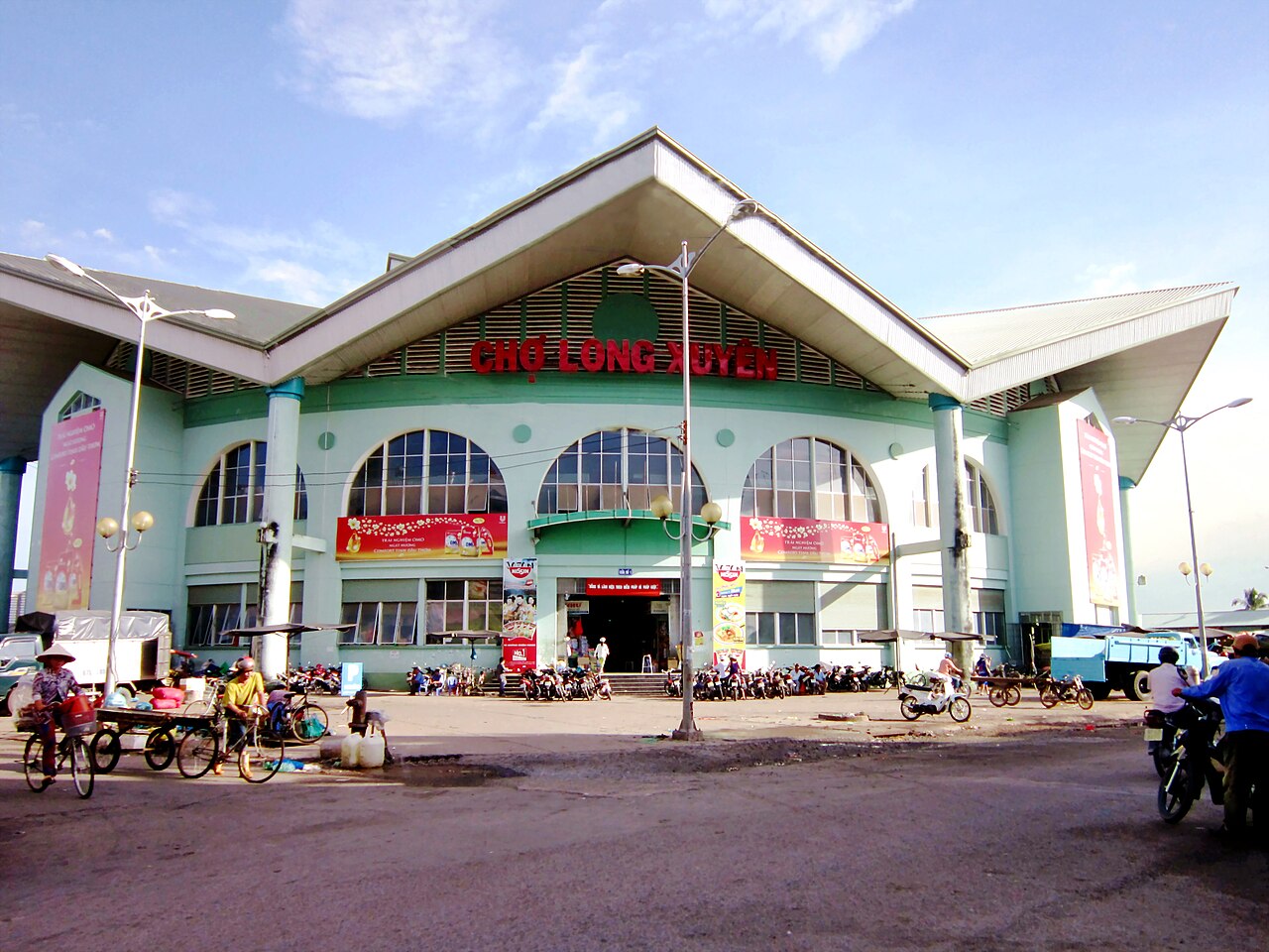
Long Xuyên
Riverside Mekong Delta city, former provincial capital of An Giang, known for its Hòa Hảo…
 đơn vị cũ
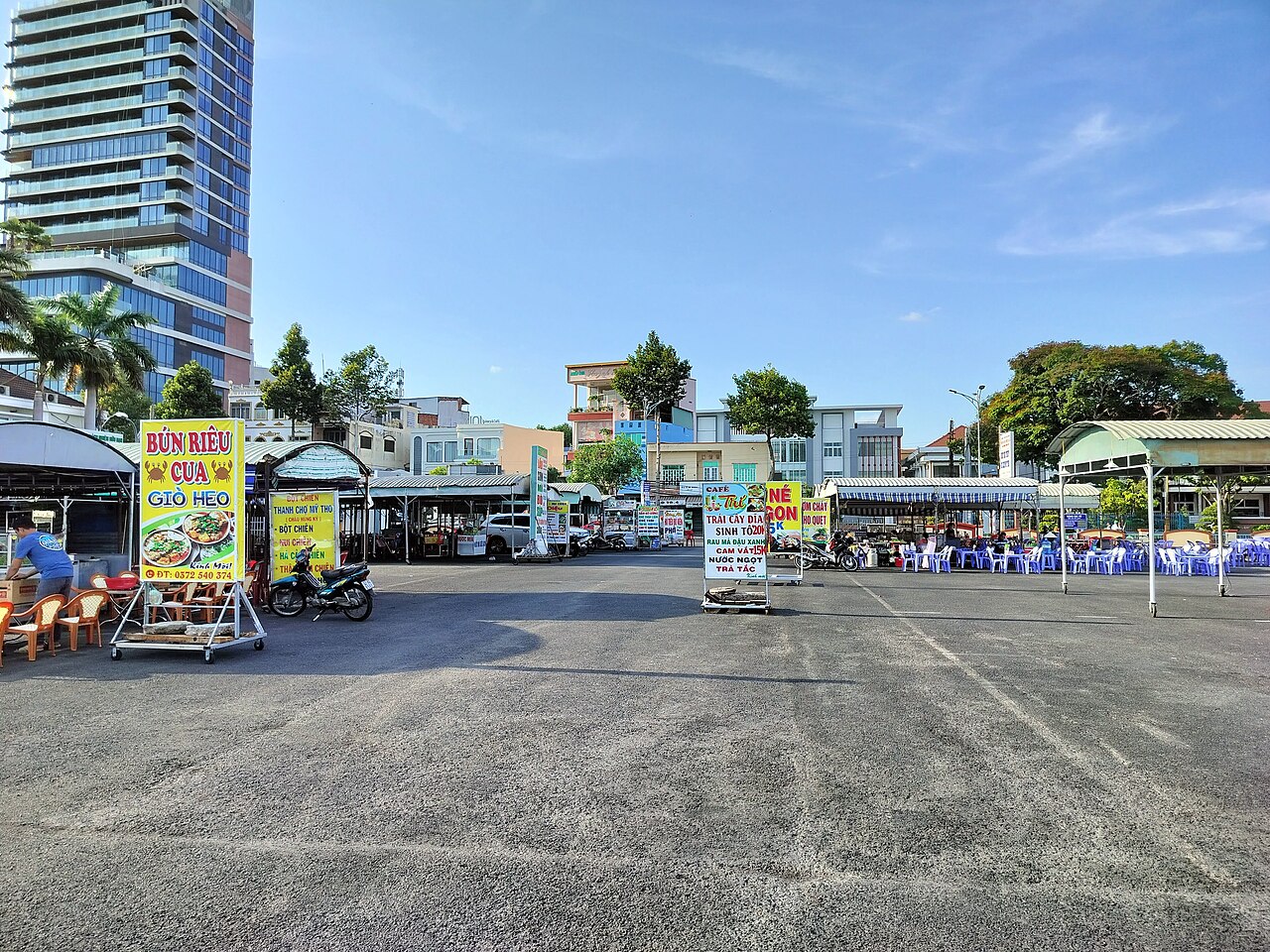
Mỹ Tho
Mỹ Tho is a Mekong Delta city on the Tiền River, known as a delta gateway and departure…
Picture credits (26)
Vietnam 08 - 154 - sunset over the delta (3186479787), McKay Savage from London, UK, CC BY 2.0, Wikimedia Commons · Mekong Delta River, Andre Hospers, CC BY-SA 4.0, Wikimedia Commons · Tractor Mekong Delta Vietnam, Thomas Schoch – www.retas.de, CC BY-SA 3.0, Wikimedia Commons · Đình Tân Thạch, Bùi Thụy Đào Nguyên, CC BY-SA 3.0, Wikimedia Commons · Vietnam, Chau Doc, Street market, Vyacheslav Argenberg, CC BY 4.0, Wikimedia Commons · Apollo Cafe Sunset Town Phu Quoc daytime exterior, Vivu Vietnam, CC BY-SA 4.0, Wikimedia Commons · Tham quan Trà Sư, Bùi Thụy Đào Nguyên, CC BY-SA 3.0, Wikimedia Commons · Một góc ấp Đá Bạc B, Bùi Thụy Đào Nguyên, CC BY-SA 3.0, Wikimedia Commons · Can Tho, Vietnam, Bridge, Vyacheslav Argenberg, CC BY 4.0, Wikimedia Commons · Cho nuoc x-001, Bùi Thụy Đào Nguyên, CC BY-SA 3.0, Wikimedia Commons · A woman is working at a brick kiln in Vinh Long, Vietnam, Trantuonglam, CC BY-SA 4.0, Wikimedia Commons · Nơi hành đạo của ông Đạo Dừa, Bùi Thụy Đào Nguyên, CC BY-SA 3.0, Wikimedia Commons · Vietnam, Chau Doc, Houses on Bassac River, Vyacheslav Argenberg, CC BY 4.0, Wikimedia Commons · Phú Quốc, Phu Quoc, Vietnam (Unsplash J9Ey8Q5fXf0), Geoffrey Arduini geoffreyarduini, CC0, Wikimedia Commons · Chợ Đất Mũi, ASM~viwiki, CC BY-SA 3.0, Wikimedia Commons · Can Tho, Vietnam, Bridge at sunrise 2, Vyacheslav Argenberg, CC BY 4.0, Wikimedia Commons · Sen và nghễ trong vùng đầm lầy ở VQG Tràm Chim, vi:User:Quoilp, CC BY-SA 3.0, Wikimedia Commons · Tượng đài Chiến Thắng Bạc Liêu 90 năm thành lập Đảng cộng sản Việt Nam, HaThanhPhuoc, CC BY-SA 4.0, Wikimedia Commons · Cổng chào Hậu Giang, Bùi Thụy Đào Nguyên, CC BY-SA 3.0, Wikimedia Commons · Pháo 105 mm, Bùi Thụy Đào Nguyên, Public domain, Wikimedia Commons · Chánh điện chùa Dơi - Sóc Trăng, Phucphucphuc, CC BY-SA 4.0, Wikimedia Commons · Tram dung chan Mekong 1, vi:User:Ngocnb, Public domain, Wikimedia Commons · The natural beauty of the countryside Tra Vinh !, Chinhlinhtran, CC BY-SA 4.0, Wikimedia Commons · Fishing, Cà Mau, Viet Bach from Saigon, Vietnam, CC BY 2.0, Wikimedia Commons · Chợ thành phố Long Xuyên, Bùi Thụy Đào Nguyên, CC BY-SA 3.0, Wikimedia Commons · Chợ đêm ăn uống ở Phường 1, Thành phố Mỹ Tho, Kwozyn, CC0, Wikimedia Commons