Overview
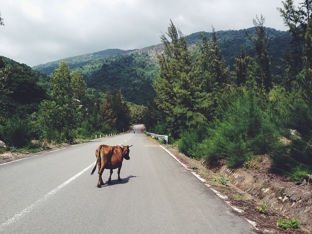
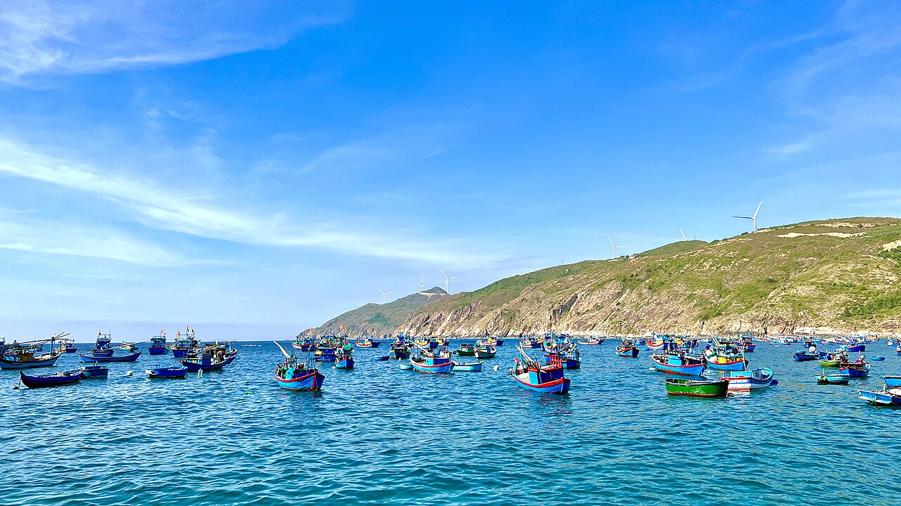
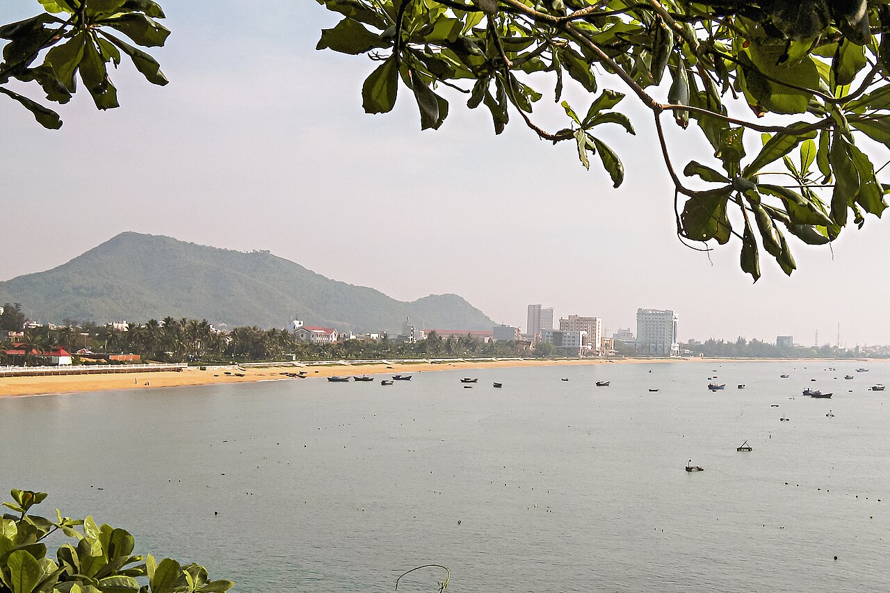
Quy Nhon sits on a bay on Vietnam's south-central coast at near sea level, backed by low hills and flanked by two peninsulas. It was historically the main port of the Cham kingdom of Vijaya, which dominated the region from roughly the tenth to the fifteenth century, and that heritage is visible in the towers and ruins scattered across the surrounding countryside. Today Quy Nhon is the administrative centre of Binh Dinh province and, following Vietnam's July 2025 provincial consolidation, also functions as the seat of the enlarged Gia Lai province, which now absorbs the former Binh Dinh unit. The city has a working harbour alongside its tourist beaches, which gives it a texture absent from purpose-built resort towns. Compared with Nha Trang to the south, Quy Nhon receives a fraction of international visitors, a situation that keeps prices lower, crowds thinner, and the beach infrastructure less manicured.

Beaches: Ky Co and Eo Gio
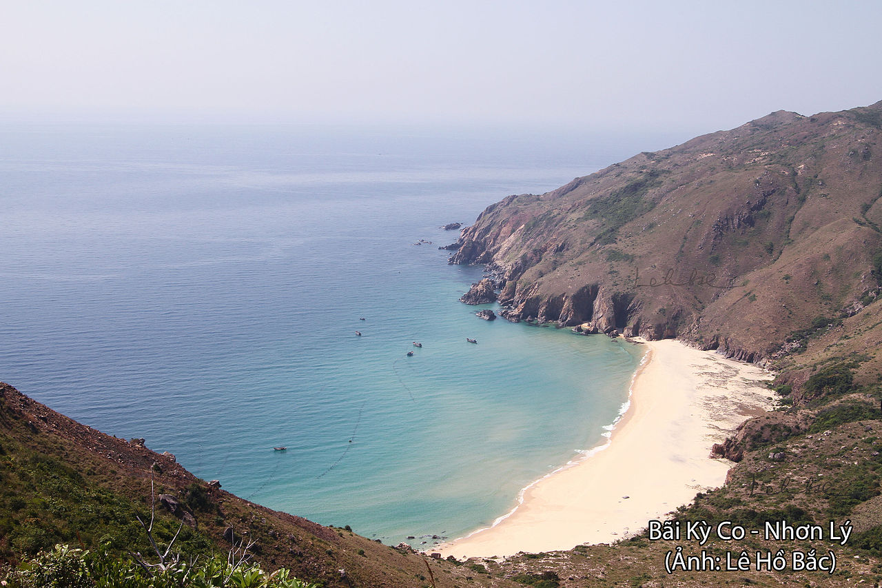
The two coastal sites that draw most visitors from outside the city lie on the Nhon Ly peninsula, roughly 25 kilometres from the urban centre by road. Ky Co is a cove beach with pale sand and water that shifts from green to deep blue depending on depth and season. Access is by boat from Nhon Ly or by road, and the beach sees its heaviest footfall during Vietnamese summer holidays. Development remains limited compared with similar beaches further south, though basic food stalls and boat hire operate during peak periods.
Eo Gio, a few kilometres from Ky Co, is a narrow rocky inlet where cliffs funnel the wind and create a pronounced natural channel effect. The name translates roughly as "wind corridor". The walk along the cliff edge to view the inlet is the main draw; the site has become more widely photographed in recent years through Vietnamese social media. Both sites are best visited outside the October–December wet season, when seas can be rough and access by boat may be suspended.
Cham Towers
The area around Quy Nhon contains several of the best-preserved Cham structures in Vietnam. Banh It towers, situated on a hilltop roughly 20 kilometres north of the city, comprise four towers of different sizes, the largest retaining much of its original brick facing. The complex dates to approximately the eleventh and twelfth centuries and is named after a local sticky-rice cake whose shape the towers are said to resemble.
Duong Long towers, further inland near Tay Son, are considered among the tallest surviving Cham towers in Vietnam. The three towers, also dating to the twelfth century, show a mixing of Cham and Khmer architectural influences, visible in the sandstone relief carvings around the doorways. Both sites are administered as heritage zones and can be reached by road. Neither is heavily touristed by international standards, which allows closer inspection of the brickwork than is possible at more visited Cham sites elsewhere. For broader context on the province's history and landscape, see Binh Dinh.
Food
Quy Nhon's food identity is built largely around seafood from the South China Sea. Bún chả cá, a fish cake noodle soup, is one of the dishes most closely associated with the city; the fish cakes are made from local white fish, fried or steamed, and served in a clear broth with thick rice noodles and fresh herbs. Bánh xèo mực, a sizzling crêpe filled with squid rather than the pork-and-prawn version common elsewhere in Vietnam, reflects the city's coastal economy. Chả ram tôm đất, a fried spring roll made with freshwater river prawns, is another local speciality. The night market near the waterfront and the fish market at the southern end of the bay are both active early morning and in the evening. Binh Dinh-style food generally uses less sweetness than southern Vietnamese cooking and less of the fermented shrimp paste common in the central highlands.
Climate and When to Go
Quy Nhon's climate follows a pattern distinct from both the far south and the north. Temperatures climb through spring and peak in June and August, when the city experiences its hottest and most settled weather. Rainfall is low from February through April, making this the driest part of the year. The rainy season arrives later here than in much of the country: October, November and December carry the heaviest rainfall, with September also wet. Typhoon risk is highest between September and December, and coastal access to sites such as Ky Co and Eo Gio can be disrupted during this period. The broad window from February to August is generally considered the most reliable for beach activity and outdoor sightseeing. For a broader comparison of regional weather patterns, see When to go: weather by region.
Getting There and Around
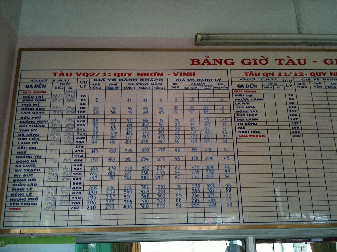
Phu Cat Airport, approximately 35 kilometres north of the city centre, receives domestic flights from Hanoi, Ho Chi Minh City, and a small number of other Vietnamese cities. Flight frequency is lower than at the major hubs, and schedules change seasonally. Train services on the north–south railway stop at Dieu Tri station, a few kilometres from the city, connecting Quy Nhon to both Hanoi and Ho Chi Minh City and to intermediate stops including Quang Ngai. Sleeper buses serve the same corridor and also connect overland toward the central highlands through Gia Lai. Within the city, motorbike taxis and app-based ride services are the standard options for short distances. Reaching Ky Co and Eo Gio requires either a hired motorbike, a private vehicle, or joining a local tour boat from Nhon Ly; there is no regular public transport to either site. For practical matters on arrival, see SIM cards and eSIMs, Money, ATMs and cards, and Vietnam e-visa.
Practical Notes
Quy Nhon has a compact city-centre area where most accommodation, restaurants and services are concentrated along and behind the main beachfront road. The beach in front of the city is a long municipal strip, swimmable for much of the year but not the draw that Ky Co is. The city is noticeably less oriented toward foreign visitors than Nha Trang or Da Nang, which means English-language menus and signage are less common outside hotels. ATMs are available in the centre. The port area and fish market involve early-morning activity and heavy vehicle traffic; pedestrians should be aware of this. For general safety considerations in Vietnam, see Safety and common scams. Nearby destinations within a half-day to full-day range include Quang Ngai to the north and the coastal areas of Khanh Hoa to the south.
월별 기후
장기 평균값이며 예보가 아닙니다. 기준 기간: 2015–2024. 출처: ERA5 reanalysis (Copernicus) via the Open-Meteo archive API.
Show the numbers
| 월 | 최고 기온 °C | 최저 기온(°C) | 강수량(mm) | 강수일수 | Humidity % |
|---|---|---|---|---|---|
| January | 25.3 | 20.7 | 101 | 17 | 84 |
| February | 26.0 | 20.7 | 49 | 12 | 84 |
| March | 28.4 | 22.3 | 41 | 10 | 84 |
| April | 30.7 | 24.2 | 45 | 8 | 82 |
| May | 32.6 | 25.9 | 107 | 16 | 80 |
| June | 34.1 | 26.6 | 75 | 13 | 72 |
| July | 33.6 | 26.4 | 115 | 16 | 72 |
| August | 34.1 | 26.5 | 123 | 16 | 71 |
| September | 31.7 | 25.3 | 239 | 24 | 81 |
| October | 29.0 | 24.0 | 370 | 26 | 85 |
| November | 27.5 | 23.3 | 344 | 24 | 87 |
| December | 25.7 | 21.9 | 249 | 24 | 85 |
Practical notes
Where it is
Also known as / see also
주변
참조 페이지
출처 목록
- ERA5 climate normals — Copernicus / Open-Meteo (CC BY 4.0) 접근됨 30 August 2026
Supports: monthly temperature and rainfall normals, and elevation - Vietnam National Authority of Tourism — VNAT 접근됨 29 August 2026
Supports: the rules and definitions on this page - Quy Nhơn — Wikipedia (CC BY-SA 4.0) 접근됨 31 August 2026
Supports: background - Quy Nhơn (định hướng) — Wikipedia (Vietnamese) (CC BY-SA 4.0) 접근됨 31 August 2026
Supports: background, Vietnamese edition
Current 마지막 확인: 31 August 2026. Rules, fares and prices change — check the official source before acting on anything here. Report a mistake.
Picture credits (6)
Quy Nhơn, tp. Quy Nhơn, Vietnam (Unsplash), Kien Nguyen forty4vn, CC0, Wikimedia Commons · Ky Co beach, Quy Nhon city, Binh Dinh province, Vietnam, Lê Hồ Bắc, CC BY-SA 4.0, Wikimedia Commons · Queen's beach, Quy Nhon city, Binh Dinh province, Vietnam, Lê Hồ Bắc, CC BY-SA 4.0, Wikimedia Commons · Nhon Ly, Quy Nhon, Vietnam (53001404016), Pulencio from Tarlac, Philippines, CC BY 2.0, Wikimedia Commons · Biển Quy Nhơn, Bùi Thụy Đào Nguyên, CC BY-SA 3.0, Wikimedia Commons · Quy Nhon Vinh train timetable, Dragfyre, CC BY-SA 3.0, Wikimedia Commons