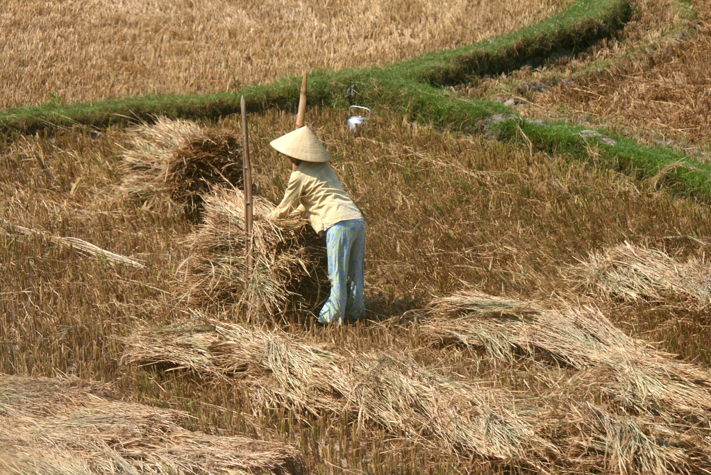
National Assembly Resolution 202/2025/QH15 on the rearrangement of provincial-level administrative units
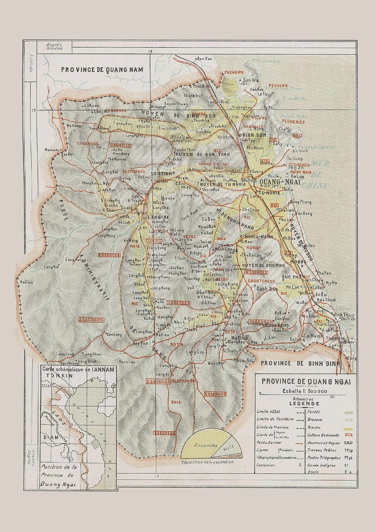
What Quang Ngai is
Quang Ngai is a province on the South Central Coast, its eastern edge facing the East Sea and its western interior rising into highlands that, until 1 July 2025, were administered as part of Kon Tum. Under the 2025 administrative reform, Vietnam reduced its provincial-level units from 63 to 34 and abolished the district tier. The new Quang Ngai province was formed from the former Quang Ngai province and the former Kon Tum province; governance is now handled at province and commune level only, with no district layer in between. The places themselves — the coast, the highlands, the towns and villages — have not moved or changed in character.
The provincial centre is Quang Ngai city, a modest working city on the Tra Khuc River that functions mainly as a transit and service hub rather than a tourist destination in its own right. The province's economy combines rice farming, fishing, sugar production, and the Dung Quat oil refinery and economic zone, one of Vietnam's first major refinery complexes.
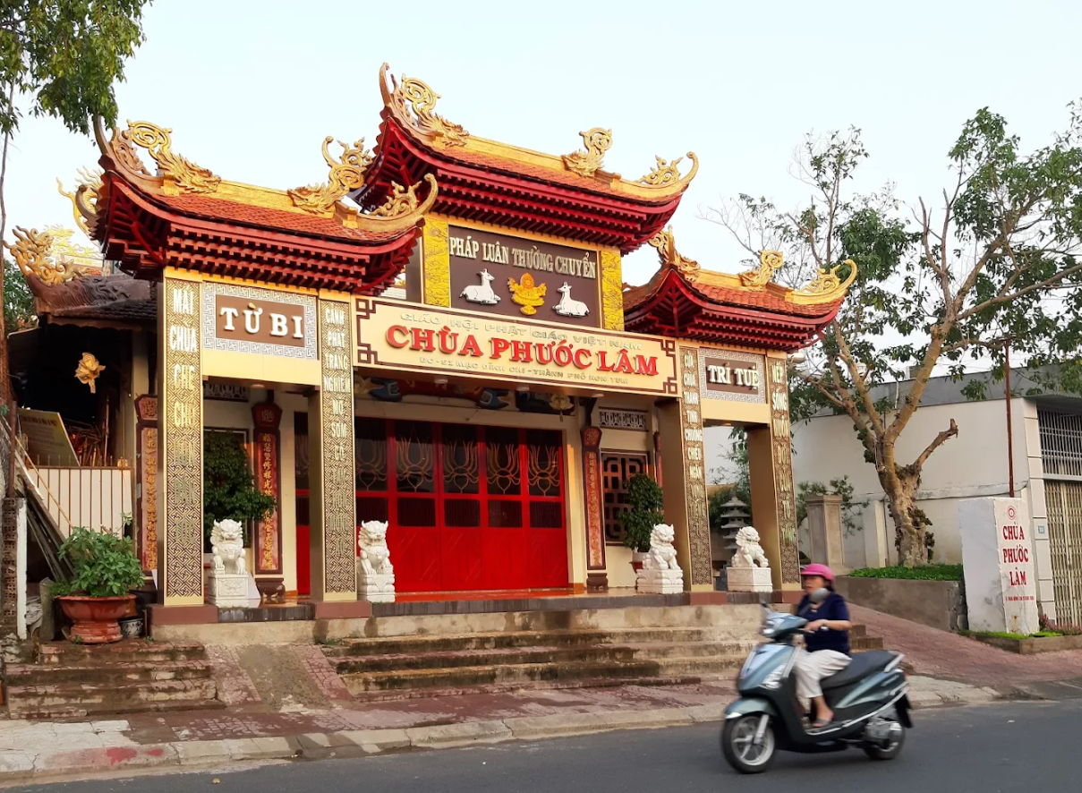
Key places and what they are known for
The two sites that bring most international visitors to Quang Ngai are the Son My Memorial (My Lai) and Ly Son Island.
- Son My Memorial marks the hamlet of My Lai, where US forces killed hundreds of unarmed Vietnamese civilians on 16 March 1968. The site comprises a museum, preserved earthworks, and a reconstructed village structure. It is a place of historical record and active commemoration, not a conventional tourist attraction.
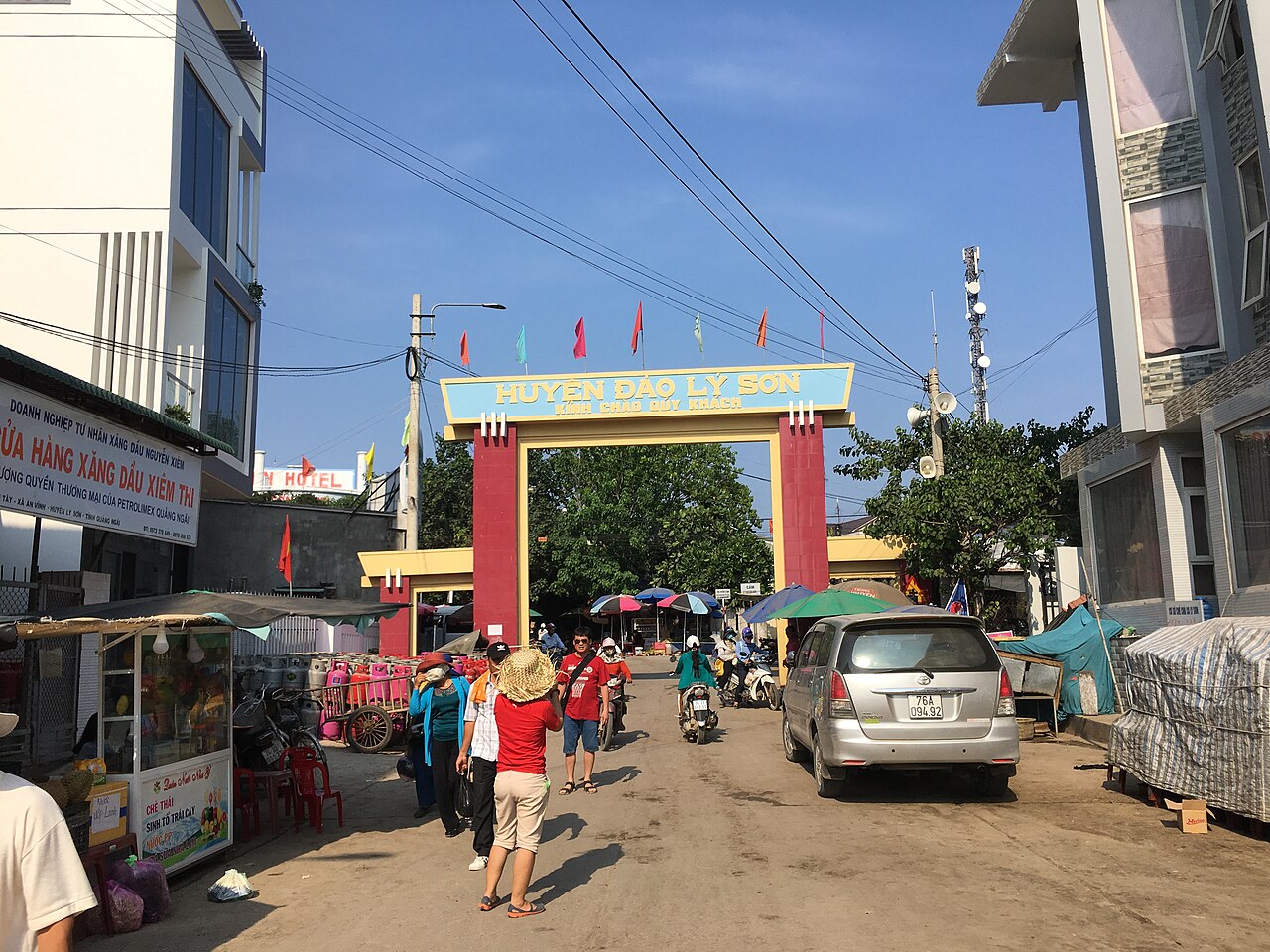
- Ly Son Island lies roughly 30 km offshore and is reached by high-speed ferry from Sa Ky port. The island is volcanic in origin, known for its toi Ly Son (Ly Son garlic), sea-cliff landscapes, and remnants of the Nguyen-dynasty Hoang Sa flotilla that historically patrolled the Paracel Islands — a matter that carries ongoing geopolitical weight given Vietnam's territorial disputes in the East Sea.
- The Dung Quat coast and the broader lowland plain hold several beach areas used mainly by domestic visitors. The quality and facilities vary considerably.
- The western highland areas, now incorporated from former Kon Tum province, include terrain inhabited by Xo Dang, Hre, and Ca Dong ethnic minority communities. Access roads into these areas can be rough and conditions change seasonally.
Climate and when to go
Quang Ngai's climate follows the south-central pattern, but with a pronounced and sometimes severe wet season concentrated in the second half of the year. For fuller regional context, see When to go: weather by region.
The first half of the year is drier and warmer. Temperatures climb from mild late-winter conditions into a hot, relatively settled period through May and June. This is generally the most reliable window for coastal and island visits, including the ferry crossing to Ly Son Island, which is frequently suspended during rough weather.
From July onwards, rainfall increases. September through November is the peak wet season: rainfall totals in these months are very high, flooding is a recurring risk in low-lying areas, and tropical storms make landfall on this coast with some regularity. October and November in particular can see sustained heavy rain that disrupts road travel, closes the Ly Son ferry, and affects highland routes.
December and January bring reduced but still significant rainfall, cooler temperatures, and occasional cold drizzle associated with the north-east monsoon. Prices vary by season, and Ly Son ferry availability is weather-dependent throughout the year.
Getting there and away
Quang Ngai city sits on the main north–south rail and road corridor. Train services on the Reunification Express link it to Da Nang to the north and to Ho Chi Minh City to the south; journey times vary by train class and service. Bus and open-tour coaches stop in Quang Ngai city on the coastal highway (National Route 1 / AH1). Express sleeper buses connect to major cities.
The nearest airport with scheduled domestic services is Chu Lai Airport (Dung Quat area, within the province), operated by several Vietnamese carriers. Da Nang's international airport, around 130 km north, offers a wider range of routes including international connections.
For Ly Son Island, ferries depart from Sa Ky port. Crossings take under two hours on the faster vessels but are subject to cancellation in poor sea conditions. Passengers should confirm sailing status before travelling to the port.
Access westward into the highland areas incorporated from former Kon Tum province is by road. Motorbike is common for those familiar with Vietnamese mountain roads; conditions deteriorate quickly in the wet season.
Accommodation and base areas
Quang Ngai city has the widest range of accommodation, from budget guesthouses to mid-range business hotels, and is the practical base for visiting Son My and for reaching Sa Ky port. The city is functional and compact but lacks the dining and hospitality infrastructure of larger centres.
Ly Son Island has a growing but still limited stock of small guesthouses and homestays. Most visitors stay one or two nights; the island is small enough that location matters less than availability. Booking ahead during Vietnamese public holidays is advisable.
Dung Quat and coastal areas have some resort-style properties aimed at domestic visitors, particularly at weekends. Standards and consistency vary.
The highland interior (formerly Kon Tum territory) has minimal formal accommodation; visitors undertaking multiday journeys in that direction typically plan around the town of Kon Tum as their highland base.
Common misunderstandings
The 2025 administrative merger: Since 1 July 2025, the former Kon Tum province no longer exists as a separate unit; its territory is now part of Quang Ngai province. Maps, apps, and references predating mid-2025 will show the old boundaries. The places on the ground are unchanged.
Ly Son ferry reliability: The crossing is not always available. Weather, maintenance, and seasonal swells mean cancellations are common, especially outside the dry season. The site of Ly Son should not be built into a tight itinerary without a flexible schedule.
My Lai / Son My: Some visitors conflate the hamlet name (My Lai) with the broader Son My area. The memorial site is clearly signed from the main road, but the surrounding commune is rural and the infrastructure for visitors is modest. It is a solemn historical site, not a heritage park with amenities.
Proximity to Da Nang and Hoi An: Quang Ngai city is roughly 130 km south of Da Nang and Hoi An. It is within a day-trip distance for those already in the region, but the road and rail journey takes time, and the route does not pass through My Son Sanctuary automatically — that site lies on a separate spur west of Hoi An.
Practical notes
Entry to Vietnam requires a valid visa or e-visa for most nationalities; see Vietnam e-visa for current arrangements. For cash and cards, see Money, ATMs and cards. ATM coverage is reasonable in Quang Ngai city and adequate on Ly Son Island, but sparse in highland and rural areas — carry sufficient cash before heading inland or to the island.
Mobile connectivity is generally reliable in the city and on Ly Son, patchier in the highlands. See SIM cards and eSIMs for network options. Standard precautions apply to motorbike hire, road conditions, and minor scams common to transit towns; Safety and common scams covers the recurring patterns. Seasonal flooding in the wet season can close roads without warning, including highland routes into what was formerly Kon Tum province.
월별 기후
장기 평균값이며 예보가 아닙니다. 기준 기간: 2015–2024. 출처: ERA5 reanalysis (Copernicus) via the Open-Meteo archive API.
Show the numbers
| 월 | 최고 기온 °C | 최저 기온(°C) | 강수량(mm) | 강수일수 | Humidity % |
|---|---|---|---|---|---|
| January | 20.2 | 15.0 | 186 | 22 | 88 |
| February | 21.6 | 14.9 | 116 | 14 | 87 |
| March | 25.2 | 17.0 | 78 | 12 | 84 |
| April | 27.7 | 19.0 | 93 | 13 | 81 |
| May | 29.3 | 20.7 | 176 | 21 | 79 |
| June | 29.8 | 21.3 | 147 | 21 | 76 |
| July | 28.8 | 21.0 | 228 | 23 | 78 |
| August | 29.0 | 21.1 | 212 | 23 | 77 |
| September | 26.8 | 20.0 | 386 | 26 | 85 |
| October | 24.3 | 18.8 | 639 | 27 | 88 |
| November | 22.5 | 17.8 | 658 | 26 | 90 |
| December | 20.1 | 16.0 | 525 | 26 | 90 |
Places within Quang Ngai

Where it is
Also known as / see also
주변
통합됨
참조 페이지
출처 목록
- ERA5 climate normals — Copernicus / Open-Meteo (CC BY 4.0) 접근됨 30 August 2026
Supports: monthly temperature and rainfall normals, and elevation - Quang Ngai (Q33304) — Wikidata (CC0 1.0) 접근됨 30 August 2026
Supports: coordinates, area, population - Quang Ngai — Wikipedia (CC BY-SA 4.0) 접근됨 30 August 2026
Supports: background
Current 마지막 확인: 31 August 2026. Rules, fares and prices change — check the official source before acting on anything here. Report a mistake.
Picture credits (7)
Quang Ngai farmer, BertholdD, CC BY-SA 3.0, Wikimedia Commons · Province de Quang-Ngai (1909), Chabert-Ostland, Clément-Casimir de (1881-1915) Gallois, Lucien (1857-1941), Public domain, Wikimedia Commons · Chùa phước lâm, Benjaminelevenis, CC0, Wikimedia Commons · Chua-bac-ai, Benjaminelevenis, CC0, Wikimedia Commons · Chùa minh đức, Benjaminelevenis, CC0, Wikimedia Commons · Mua ho dao o mang den tinh kon tum 010, Đào Phúc Quang Vũ, CC BY-SA 4.0, Wikimedia Commons · Cổng chào trên Huyện Đảo Lý Sơn - Quảng Ngãi, VuTuanHung1804, CC BY-SA 4.0, Wikimedia Commons