What My Son Is
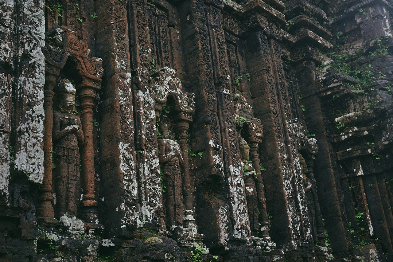
My Son (Thánh địa Mỹ Sơn) is a complex of Hindu temples built by the kings of Champa, a maritime Indianised kingdom that controlled much of what is now central and southern Vietnam from roughly the 2nd century CE until Cham political power collapsed under Vietnamese expansion in the 15th century. The site served as both a royal ceremonial centre and a place of worship dedicated principally to Shiva, who was venerated here under the local name Bhadresvara.
The temples were constructed in phases across nearly a thousand years, with different dynasties adding groups in distinct architectural styles. They sit in a narrow valley enclosed by forested hills in what is now Quang Nam province, roughly 40 kilometres south-west of Hoi An. The complex is considered the Cham equivalent of Angkor in Cambodia or Borobudur in Indonesia in terms of its historical and religious significance, though it is considerably smaller in scale than either.
The Temple Groups: A to K
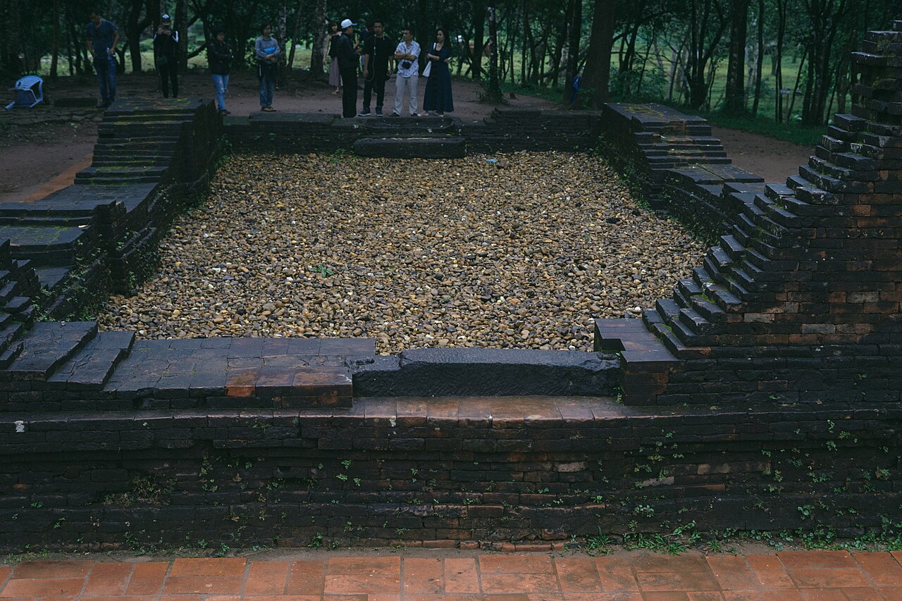
French scholars who surveyed My Son in the late 19th and early 20th centuries assigned letter codes — A, A', B, C, D, E, F, G, H, K — to distinguish clusters of structures built in different periods and styles. Not all groups are equally accessible or intact.
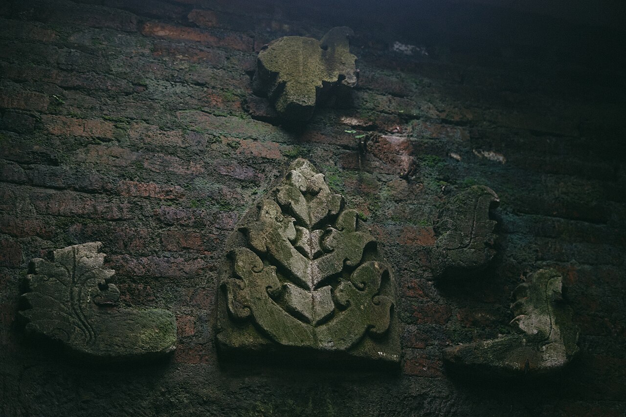
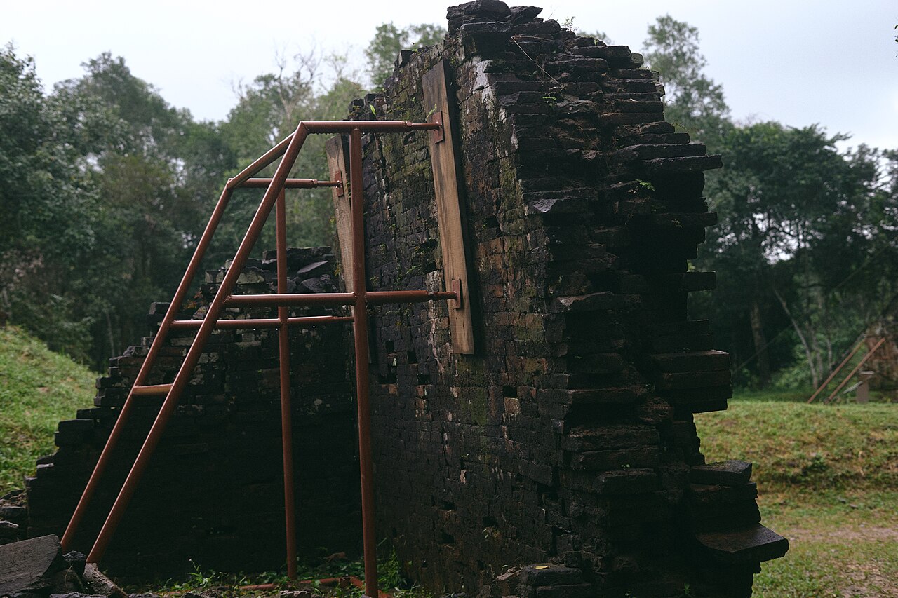
- Group B, C and D form the core of what most visitors see. Group B contains the main sanctuary (kalan) towers still standing to significant height, with ornate sandstone carvings of deities, guardians and floral motifs.
- Group A was the grandest tower cluster but was almost entirely destroyed by US bombing in 1969. Only rubble and a few foundation stones remain. A single large tower, A1, was regarded by scholars as one of the finest Cham structures ever built.
- Groups G, H and K lie further into the valley and are less visited, with structures dating to later Cham periods showing distinct stylistic shifts, including the influence of Khmer architecture.
Explanatory signs in Vietnamese, English and French accompany most groups, though their depth of detail varies.
War Damage
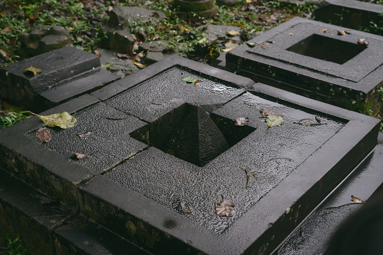
My Son suffered severe damage during the Vietnam War. In August 1969, United States Air Force bombing raids — targeting Viet Cong positions believed to be using the valley — destroyed the majority of Group A, including the celebrated A1 tower, and caused significant damage to several other groups. The raids took place over several days; a team of Polish conservators who visited the site shortly afterwards documented the scale of the destruction.
Unexploded ordnance remained a problem for decades after the war, complicating excavation and conservation work. UNESCO and a succession of international partners, including Italian and Vietnamese teams, have undertaken ongoing restoration since the 1980s, though approaches to reconstruction — particularly the use of modern mortar to stabilise original brickwork — have been contested among specialists. The techniques the Cham used to lay brick without visible mortar are not fully understood, and replication has proved difficult.
Climate and When to Visit
My Son's climate follows the pattern of the broader south-central coast, but with a pronounced seasonal swing. The driest and most comfortable period runs from roughly February through August, when temperatures rise steadily from mild spring conditions into genuine heat by June and July, with relatively modest rainfall. This is the period most commonly recommended for a visit.
From September onward, rainfall increases sharply, peaking through October and November when monthly totals can be very high and the valley is prone to flooding. December and January are cooler and frequently wet. The site may close or restrict access during flood events.
For detailed planning by month and region, see When to go: weather by region. Visitors based in Hoi An or Da Nang during the dry season are best placed to make the trip comfortably.
The Cham Dance Performance
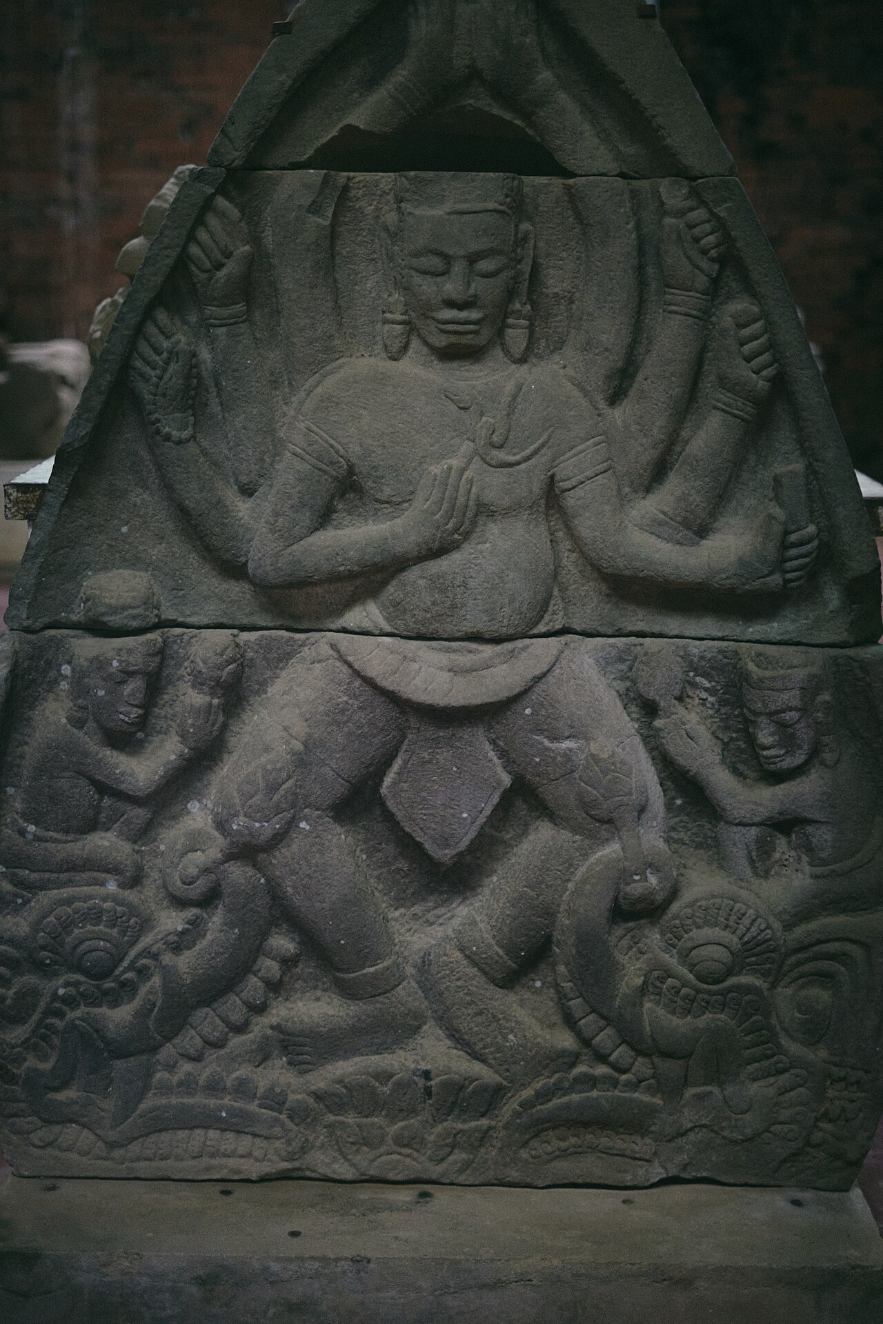
A short performance of Cham classical dance is staged at the site each morning for visiting groups. Performers wear traditional Cham costume and execute choreography derived from the apsara (celestial dancer) tradition depicted in the stone carvings throughout the complex. The performances are held in a covered open-sided pavilion near the main entrance area.
Cham people — the descendants of the Champa kingdom's population — remain a recognised ethnic minority in Vietnam, concentrated mainly in Ninh Thuan and Binh Thuan provinces further south, with smaller communities in the Mekong Delta. The dance tradition has been maintained and in some respects reconstructed, drawing on both surviving community practice and the iconographic evidence of the temple carvings themselves.
Getting There and Timing Your Visit
My Son lies approximately 40 kilometres from Hoi An and around 70 kilometres from Da Nang. The most common approach is by organised day tour from Hoi An, which typically combines My Son with time in the old town itself. Independent travellers reach the site by motorbike, hired car or taxi. There is no scheduled public bus service directly to the complex.
Organised tour groups from Hoi An tend to arrive mid-morning, after which the main temple groups become noticeably crowded and the site offers little shade on hot days. Arriving at or near opening time allows visitors to see Groups B, C and D before the largest crowds, and the light in the valley is lower and cooler in the early hours. A boat trip along the Thu Bon River is offered by some operators as an alternative to the road journey in one direction, adding travel time but passing through riverside scenery.
For entry requirements to Vietnam, see Vietnam e-visa. For practical matters on the ground, see Money, ATMs and cards and SIM cards and eSIMs.
Clima per mese
Medie di lungo periodo, non una previsione. Periodo di riferimento: 2015–2024. Fonte: ERA5 reanalysis (Copernicus) via the Open-Meteo archive API.
Show the numbers
| Mese | Massima °C | Min °C | Pioggia mm | Giorni di pioggia | Humidity % |
|---|---|---|---|---|---|
| January | 24.4 | 19.4 | 166 | 21 | 88 |
| February | 25.8 | 19.6 | 86 | 13 | 86 |
| March | 29.4 | 22.0 | 74 | 12 | 85 |
| April | 32.3 | 24.0 | 101 | 13 | 81 |
| May | 33.8 | 25.6 | 154 | 21 | 79 |
| June | 35.0 | 26.6 | 135 | 17 | 73 |
| July | 33.7 | 26.1 | 183 | 20 | 75 |
| August | 33.9 | 26.2 | 175 | 20 | 75 |
| September | 31.6 | 25.0 | 328 | 25 | 83 |
| October | 28.6 | 23.4 | 579 | 26 | 87 |
| November | 27.0 | 22.3 | 526 | 25 | 89 |
| December | 24.3 | 20.3 | 418 | 25 | 89 |
Where it is
Also known as / see also
Nelle vicinanze
Citato da
Fonti
- ERA5 climate normals — Copernicus / Open-Meteo (CC BY 4.0) consultato 30 August 2026
Supports: monthly temperature and rainfall normals, and elevation - Vietnam National Authority of Tourism — VNAT consultato 29 August 2026
Supports: the rules and definitions on this page - Thánh địa Mỹ Sơn — Wikipedia (Vietnamese) (CC BY-SA 4.0) consultato 31 August 2026
Supports: background, Vietnamese edition
Current Ultima verifica: 31 August 2026. Rules, fares and prices change — check the official source before acting on anything here. Report a mistake.
Picture credits (6)
My Son Sanctuary, Vietnam, 2017 (52415202507), JL Cogburn, CC BY-SA 2.0, Wikimedia Commons · My Son Sanctuary, Vietnam, 2017 (52415203697), JL Cogburn, CC BY-SA 2.0, Wikimedia Commons · My Son Sanctuary, Vietnam, 2017 (52415205602), JL Cogburn, CC BY-SA 2.0, Wikimedia Commons · My Son Sanctuary, Vietnam, 2017 (52415207572), JL Cogburn, CC BY-SA 2.0, Wikimedia Commons · My Son Sanctuary, Vietnam, 2017 (52415210322), JL Cogburn, CC BY-SA 2.0, Wikimedia Commons · My Son Sanctuary, Vietnam, 2017 (52415719446), JL Cogburn, CC BY-SA 2.0, Wikimedia Commons