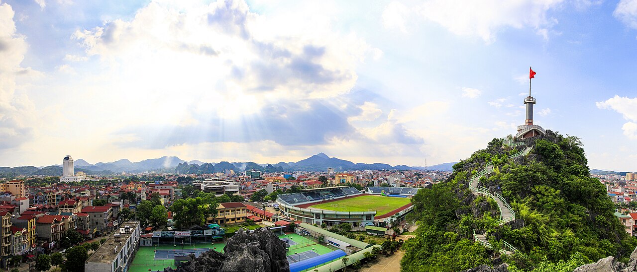
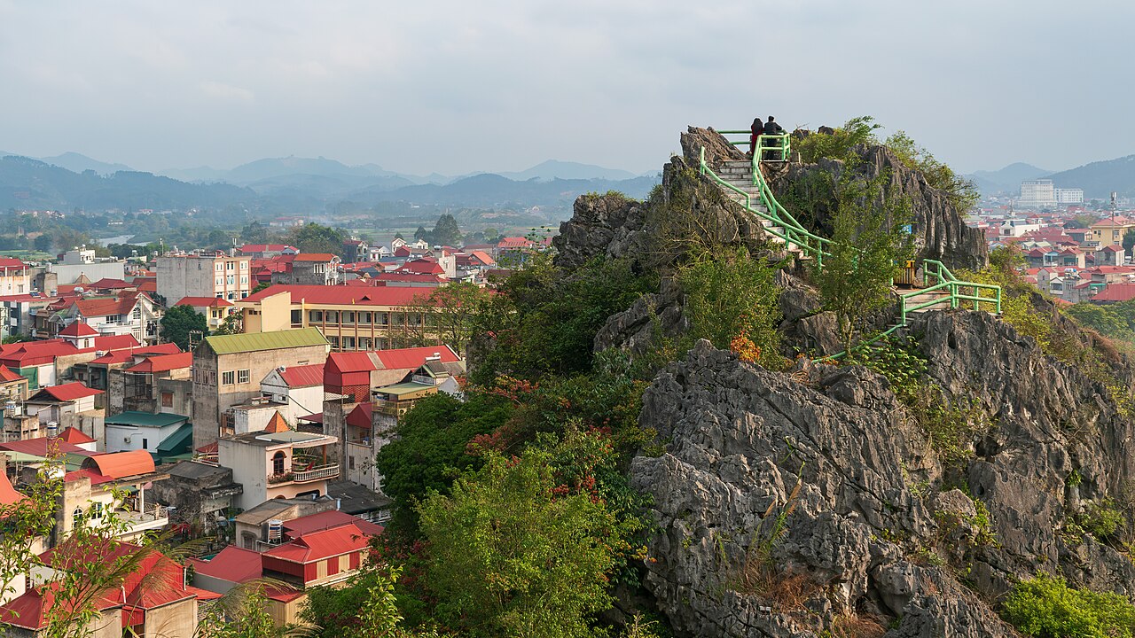
Lang Son province occupies a strategic corridor in the northeastern highlands, sharing a long land border with China's Guangxi region. The provincial capital, also called Lang Son, has historically been one of Vietnam's most important overland gateways to China and retains that commercial intensity today. The landscape is dominated by karst formations, forested ridges and river valleys, with a population drawn from several ethnic minority groups alongside the Kinh majority.
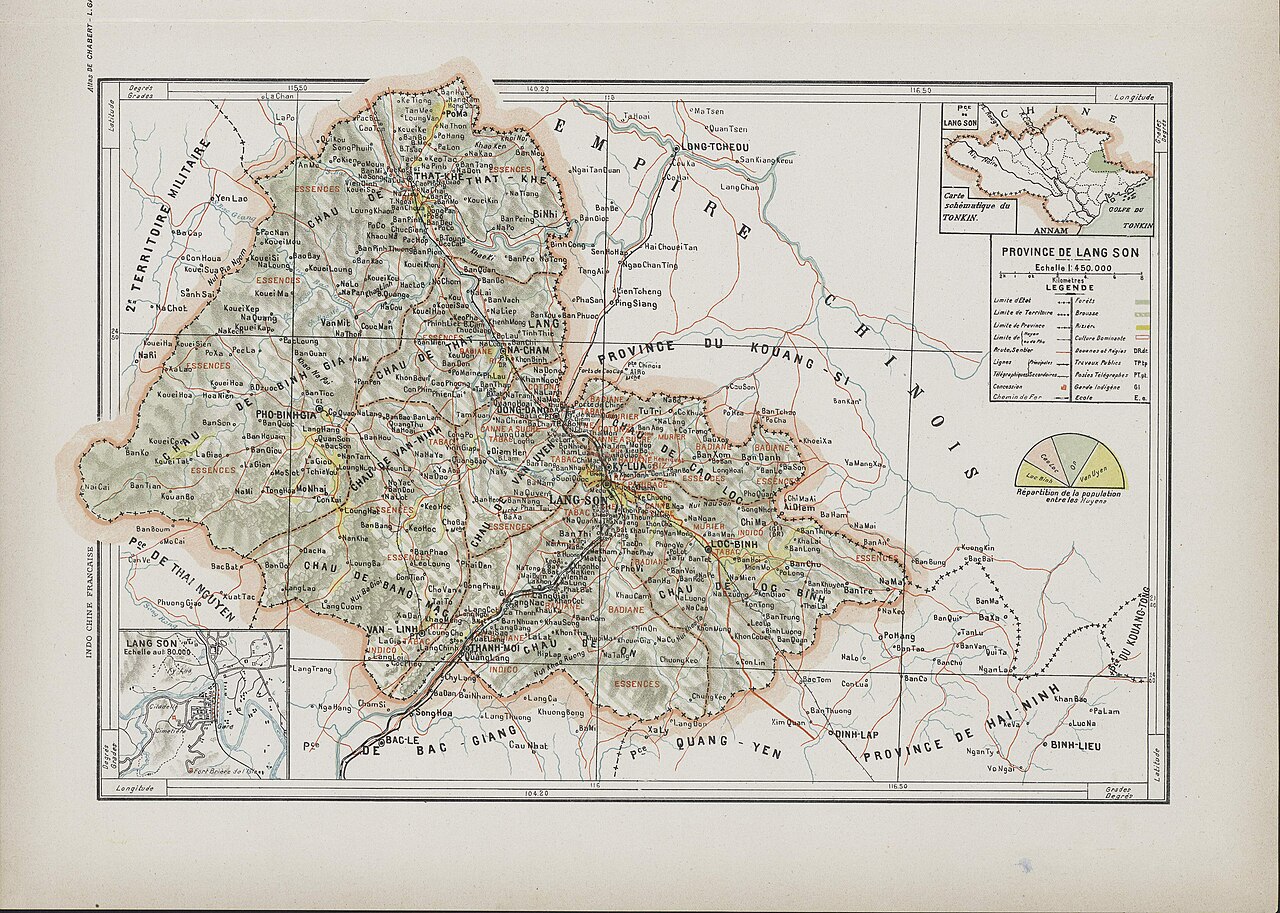
What Lang Son is known for
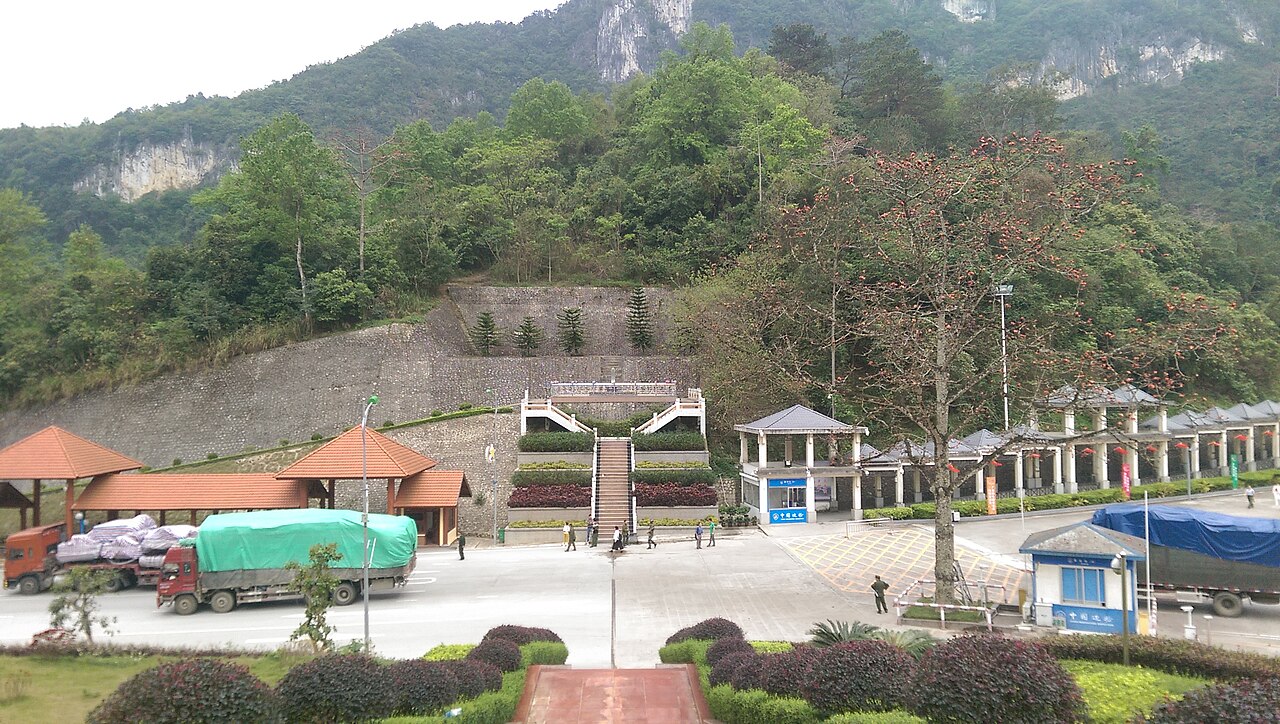
Lang Son's identity is shaped above all by the Huu Nghi (Friendship) Border Gate, the principal legal crossing between Vietnam and China at this latitude. The flow of goods — electronics, clothing, foodstuffs, consumer merchandise — is constant and visible, giving the capital a wholesale-market energy that few other Vietnamese provincial towns share. The large Dong Kinh Market in the city is a downstream reflection of that trade, stocking Chinese-made goods at competitive prices and drawing buyers from across the north.
Beyond commerce, the province is associated with its karst landscape, notably the Tam Thanh and Nhi Thanh cave complexes within the city itself, where limestone chambers contain historical carvings and small temples. The surrounding hills, rivers and ethnic minority villages — Tày, Nùng, Dao and others — give the province a cultural texture distinct from the lowland delta.
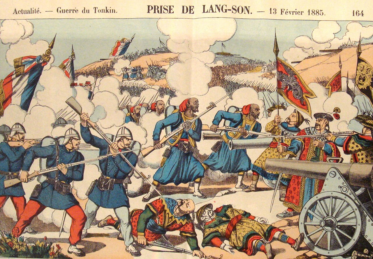
Lang Son also carries significant historical weight: it was heavily contested and largely destroyed in the brief but destructive Sino-Vietnamese War of 1979, a fact that informs local memory even if visible physical traces are now limited.
Getting there and away
Lang Son city lies roughly 150 km northeast of Hanoi by road. The most common approach is by coach or sleeper bus from Hanoi's My Dinh or Gia Lam bus stations; journey times vary with traffic and road conditions. The route follows National Highway 1A through hilly terrain for much of the way.
A railway line connects Hanoi to Lang Son via Dong Dang station, close to the border gate. Train services exist but are infrequent; the line is also the historic route that continues into China, though cross-border passenger rail services have had a complicated operational history and travellers should verify current status before planning around them.
Private car hire and motorbike are options for those wanting flexibility, particularly for reaching villages and cave sites away from the main road. There is no commercial airport in the province; the nearest international hub is Hanoi's Noi Bai Airport.
For travellers considering the overland crossing into China at Huu Nghi, both Chinese and Vietnamese visa requirements apply. Vietnam's entry rules can change by government decree; the Vietnam e-visa page has current guidance, but the official immigration authority is the definitive source.
When to go
Lang Son has a subtropical highland climate with four seasons, cooler and more variable than the lowland north. See the weather by region page for a fuller picture.
Autumn (September to November) is widely considered the most comfortable period: temperatures are moderate, skies are often clear and the forested hills carry seasonal colour. Spring (March to May) is similarly pleasant and coincides with several ethnic minority festivals and the plum and peach blossoms for which the province is locally famous.
Summer (June to August) brings heat, high humidity and the main rainy season. Roads into hill areas can be affected by flooding or landslips. Winter (December to February) is the coolest period; temperatures in the hills can drop sharply at night, occasionally to single digits Celsius, and light frost is possible at higher elevations. Cold fog is common in January and February. Winter weekends in the city see a surge of Vietnamese visitors drawn by the cold-weather novelty and hot-pot restaurants.
Things to see and do
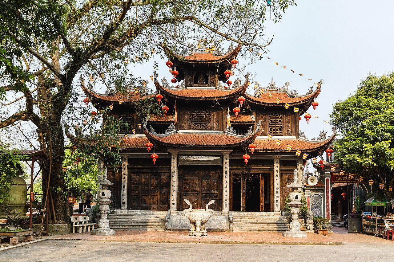
Tam Thanh Cave and Pagoda is the most visited single site within Lang Son city: a limestone cavern that opens onto a small valley, with a pagoda inside and classical Chinese-script poetry carved into the walls by officials and travellers from earlier centuries. Adjacent Nhi Thanh Cave follows a stream through the rock and contains further carvings.
Ky Lua Market and the surrounding old-town streets retain some of the province's trading heritage and are active in the early morning. The market is particularly associated with the Tày and Nùng communities who come down from surrounding villages.
Mau Son Mountain, roughly 30 km east of the city, rises to over 1,500 m and is the highest point in the province accessible by road. It is notable for being one of the few places in northern Vietnam where snow occasionally falls, drawing visitors in midwinter. The summit area has basic accommodation and is cooler than the valley in all seasons.
The Chi Lang Pass and its historical battlefield sites attract visitors with an interest in Vietnamese military history; the pass was the site of a famous 15th-century victory over Ming dynasty forces. The Huu Nghi Border Gate itself is viewable from the Vietnamese side as a point of interest, though crossing requires valid documentation for both countries.
Where to stay
Accommodation in Lang Son province is concentrated in Lang Son city, which has a range of hotels from simple guesthouses to mid-range business hotels, the latter catering largely to traders and commercial visitors rather than leisure tourists. Standards and availability are functional rather than resort-grade.
Mau Son Mountain has a small cluster of guesthouses and simple resorts used mainly by Vietnamese weekenders escaping summer heat or seeking winter cold. Facilities are basic and booking ahead is advisable around major public holidays and during cold snaps when the area attracts large crowds.
Village homestays in ethnic minority communities exist but are not systematically organised; local travel agencies in the city are the practical route to arranging these. Outside the city and Mau Son, options thin out quickly.
Common misunderstandings
The border crossing is not straightforward for independent tourists. Many travellers assume the Huu Nghi gate functions like a simple land border; in practice it is primarily a commercial freight and short-stay crossing. Chinese visa requirements, Vietnamese exit procedures and the practical logistics of onward transport on the Chinese side all need research well in advance. Neither country's visa rules should be assumed from outdated guides.
The "Chinese goods" market is not what many visitors expect. Dong Kinh and related wholesale markets cater to Vietnamese traders buying in bulk, not to tourists browsing for souvenirs. Bargaining culture and product categories differ from tourist markets in Hanoi or Hoi An.
Mau Son in winter fills up very fast. A single forecast of possible snow can cause the mountain road to become congested with day-trippers from Hanoi. Anyone planning an overnight stay should not leave accommodation unbooked.
Lang Son was not unaffected by the 1979 war. Some visitors arrive without knowing the city was heavily shelled and much of the pre-war fabric destroyed. The relatively modern appearance of the city centre is a consequence of reconstruction, not original character.
For practical matters including currency and payments, the money and ATMs page covers current conditions; SIM cards and eSIMs is useful for connectivity near the border, where signal roaming situations can be non-standard.
المناخ حسب الشهر
متوسطات طويلة الأمد، وليست تنبؤاً. الفترة المرجعية: 2015–2024. المصدر: ERA5 reanalysis (Copernicus) via the Open-Meteo archive API.
Show the numbers
| الشهر | أعلى درجة حرارة °م | الحد الأدنى °C | كمية الأمطار (ملم) | أيام الأمطار | Humidity % |
|---|---|---|---|---|---|
| January | 16.3 | 9.9 | 92 | 14 | 81 |
| February | 17.7 | 11.0 | 80 | 14 | 82 |
| March | 21.4 | 15.0 | 101 | 18 | 86 |
| April | 24.7 | 17.8 | 113 | 16 | 85 |
| May | 27.2 | 20.9 | 233 | 23 | 86 |
| June | 28.7 | 22.8 | 266 | 24 | 87 |
| July | 28.6 | 22.8 | 248 | 24 | 88 |
| August | 28.0 | 22.4 | 358 | 26 | 90 |
| September | 27.1 | 21.4 | 219 | 21 | 87 |
| October | 24.3 | 17.9 | 119 | 12 | 79 |
| November | 21.9 | 15.0 | 54 | 10 | 79 |
| December | 16.8 | 10.1 | 48 | 9 | 74 |
Places within Lang Son
Where it is
Also known as / see also
قريب
مُشار إليه من
المصادر
- ERA5 climate normals — Copernicus / Open-Meteo (CC BY 4.0) تم الوصول إليه 30 August 2026
Supports: monthly temperature and rainfall normals, and elevation - Map data from OpenStreetMap contributors, ODbL 1.0 — OpenStreetMap (ODbL 1.0) تم الوصول إليه 29 August 2026
Supports: carried over from the first build - Lang Son (Q33403) — Wikidata (CC0 1.0) تم الوصول إليه 30 August 2026
Supports: coordinates, area, population - Lang Son — Wikipedia (CC BY-SA 4.0) تم الوصول إليه 30 August 2026
Supports: background
Current آخر تحقق: 29 August 2026. Rules, fares and prices change — check the official source before acting on anything here. Report a mistake.
Picture credits (6)
Cột cờ Lạng Sơn, Minh Chu, CC BY-SA 2.0, Wikimedia Commons · Province de Lang-Son (1909), Chabert-Ostland, Clément-Casimir de (1881-1915) Gallois, Lucien (1857-1941), Public domain, Wikimedia Commons · CaptureOfLang-Son, Personal photograph, Public domain, Wikimedia Commons · Chùa Thành, Bùi Thụy Đào Nguyên, CC BY-SA 4.0, Wikimedia Commons · Cua khau Huu Nghi, Gió Đông ( thảo luận ), Public domain, Wikimedia Commons · Lạng Sơn - View from Phai Vệ mountain Feb 2024, Dominic Nelson, CC BY-SA 4.0, Wikimedia Commons