2025 constitutional amendment and Law on Organisation of Local Government establishing a two-tier local government
Administrative status
Until 30 June 2025, Lạng Sơn city functioned as a thành phố trực thuộc tỉnh (provincial city) within Lạng Sơn province. Under Vietnam's nationwide administrative reorganisation effective 1 July 2025, the district tier was abolished and the former provincial city ceased to exist as a separate administrative unit. The urban area it encompassed is now governed directly under the commune tier within Lạng Sơn province. The city as a place — its streets, markets, buildings and population — has not changed; only the administrative label no longer applies.
Character and setting
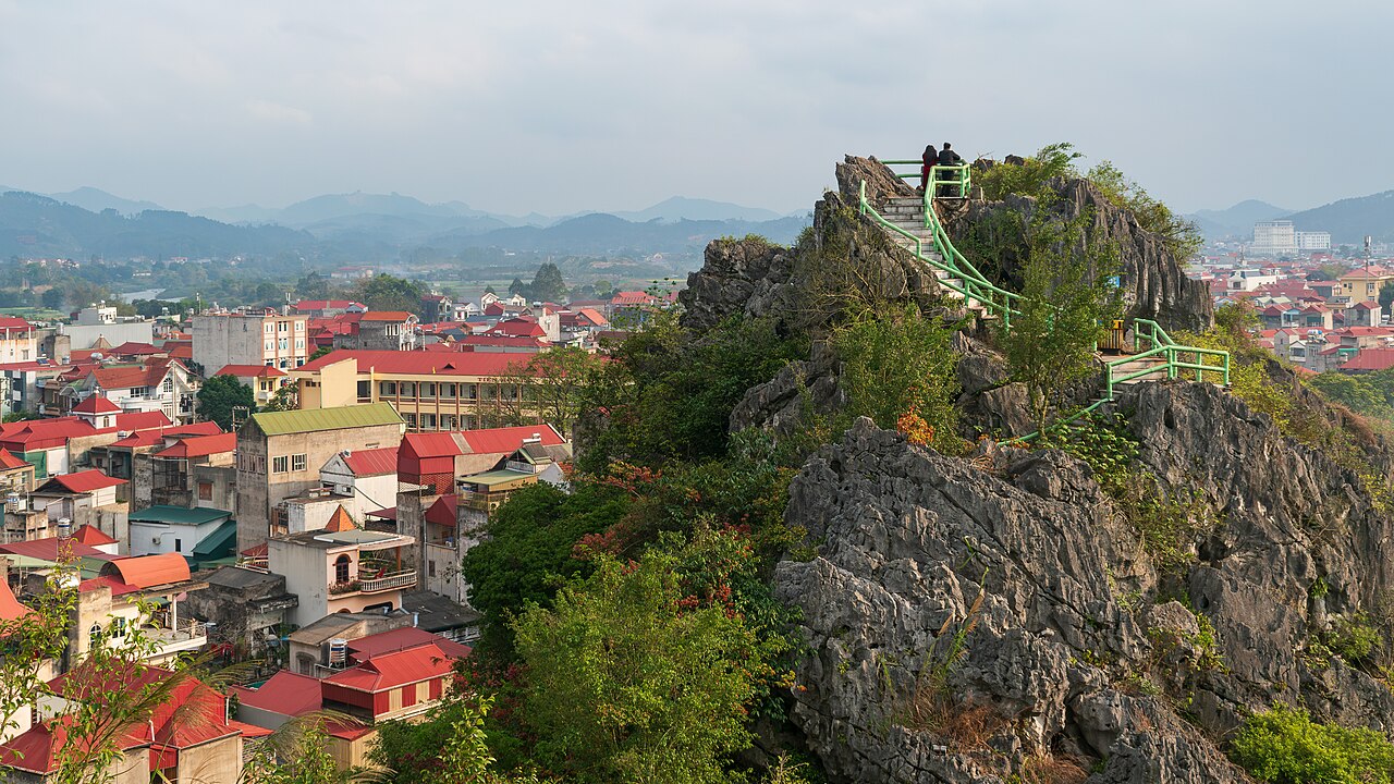
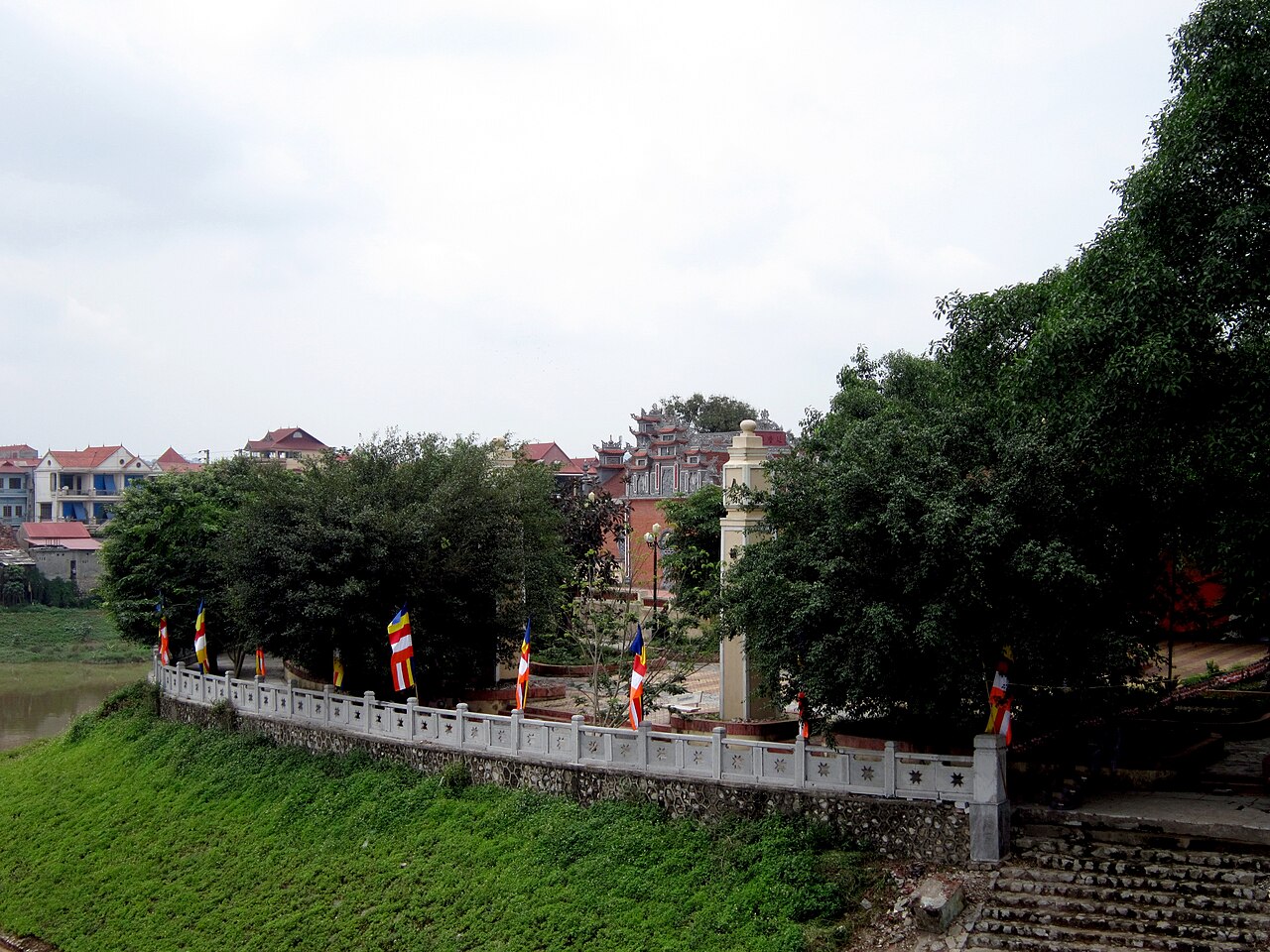
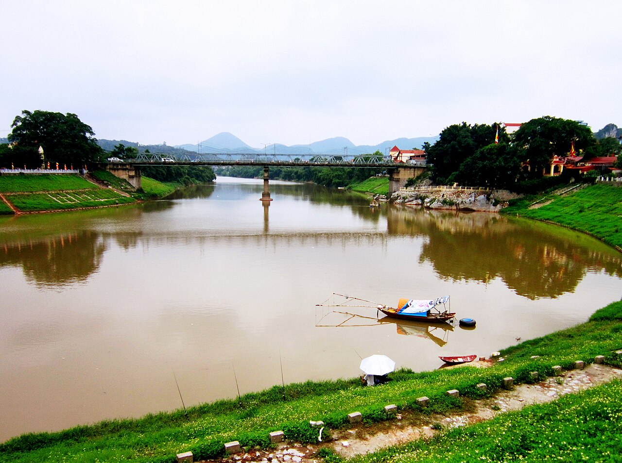
The city occupies a valley where the Kỳ Cùng River runs roughly east to west, flanked by low limestone hills. Its position roughly 170 km northeast of Hanoi and just a few kilometres south of the Friendship Pass (Hữu Nghị Quan) has shaped its character across centuries. Trade — legal and informal — dominates daily life. Markets here stock goods flowing in both directions across the border, and the streetscape mixes older French colonial-era buildings with more recent commercial construction. The population is mixed, with significant Tày and Nùng communities alongside Kinh Vietnamese residents, a demographic composition reflected in local food, language and temple traditions.
Key landmarks and points of interest
Several sites draw visitors passing through the city:
- Kỳ Lừa Market — one of the largest and oldest border markets in northern Vietnam, documented as a significant trading point since at least the Lê dynasty. It remains active and is particularly associated with goods from across the Chinese border.
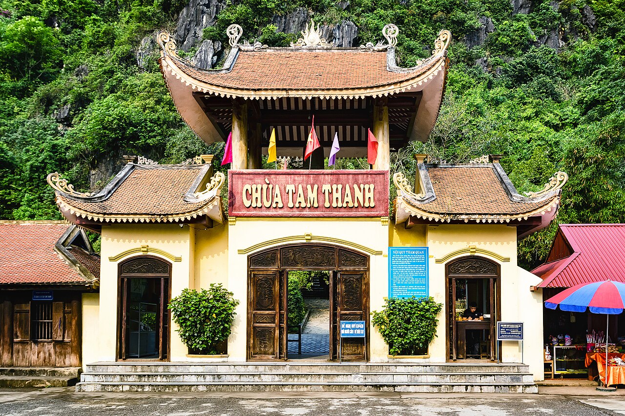
- Tam Thanh Cave — a limestone cave complex a short distance from the city centre containing Buddhist and Taoist altars as well as a small lake inside the cave system. Carvings dating to earlier dynasties have been recorded on the cave walls.
- Nhị Thanh Cave — a second cave system, shorter than Tam Thanh, notable partly for a poem carved into the rock by the 18th-century mandarin and poet Ngô Thì Sĩ, who was posted to Lạng Sơn as governor.
- Tô Thị Mountain and the Vọng Phu stone — a rock formation associated with a folk legend of a woman turned to stone while waiting for a husband who never returned, a story common to several sites across Vietnam but particularly prominent in Lạng Sơn's cultural identity.
Getting there and away
Lạng Sơn city is connected to Hanoi by National Highway 1A and by rail on the Hanoi–Đồng Đăng line, one of the lines that continues across the border into China. Bus services from Hanoi's Mỹ Đình and Giáp Bát terminals reach the city regularly. The journey by road or rail typically takes between two and a half and three and a half hours depending on service and conditions. The border crossing at Hữu Nghị Quan (Friendship Pass) handles both road and rail traffic to the Chinese city of Pingxiang in Guangxi. Travellers crossing into China should confirm current visa and crossing requirements independently, as these change.
Climate and when to visit
Lạng Sơn has a humid subtropical climate with four loosely defined seasons. Summers (May to September) are hot and wet, with rainfall that can cause flooding in low-lying parts of the valley. The period from October to March is cooler and drier; winter nights can be cold enough for frost on the surrounding hills, and the city itself occasionally sees near-zero temperatures. Spring, roughly February to April, brings mist and light rain. The city is particularly associated with the flowering of mận (plum) and peach trees in late January and February, timed around the Tết period, when the surrounding hillsides turn pink and white.
Food and local produce
The city's border position gives it a food culture distinct from the Vietnamese lowland norm. Phở vịt (duck pho) is more commonly found here than in most southern or central Vietnamese cities. Bánh cuốn trứng, steamed rice rolls with egg, is a local variation on a dish found across the north. Khâu nhục, a slow-braised pork belly dish of Chinese origin popular among the Tày and Nùng communities, appears on menus throughout the city. The markets also stock a wide range of fruits, dried goods and preserved foods moving through the border trade, some of which are not easily found elsewhere in Vietnam.
Common misunderstandings
Visitors sometimes conflate the city with Lạng Sơn province as a whole; the province covers a much larger area of mountainous terrain, including areas of interest well beyond the urban valley. Separately, the administrative changes of 2025 have caused confusion: the city no longer exists as a named administrative unit, but this has no practical effect on finding, visiting or navigating the place. Lạng Sơn city is not a leisure destination in the way that highland towns such as Sapa are marketed; most visitors are traders, travellers transiting to or from China, or people visiting family. Those expecting a tourist infrastructure comparable to better-known northern destinations are likely to be surprised by the commercial rather than scenic character of the centre.
Where it is
Also known as / see also
出典
- Lạng Sơn (Q33383) — Wikidata (CC0 1.0) アクセス日 30 August 2026
Supports: coordinates, area, population - Lạng Sơn — Wikipedia (CC BY-SA 4.0) アクセス日 30 August 2026
Supports: background
Current 最終確認: 31 August 2026. Rules, fares and prices change — check the official source before acting on anything here. Report a mistake.
Picture credits (4)
Lạng Sơn - View from Phai Vệ mountain Feb 2024, Dominic Nelson, CC BY-SA 4.0, Wikimedia Commons · Bến đá Kỳ Cùng, Bùi Thụy Đào Nguyên, CC BY-SA 3.0, Wikimedia Commons · Lạng Sơn 1, Bùi Thụy Đào Nguyên, CC BY-SA 3.0, Wikimedia Commons · Chùa Tam Thanh, Bùi Thụy Đào Nguyên, CC BY-SA 4.0, Wikimedia Commons