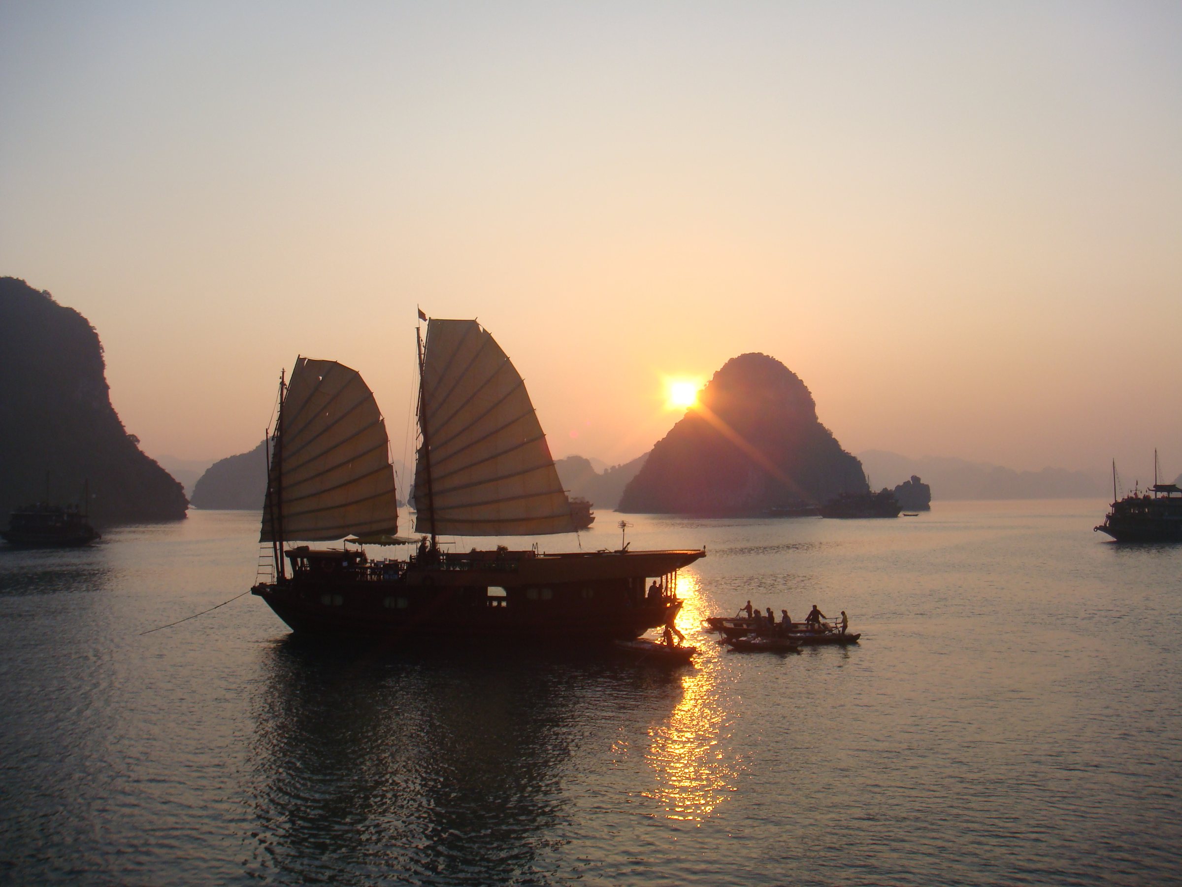
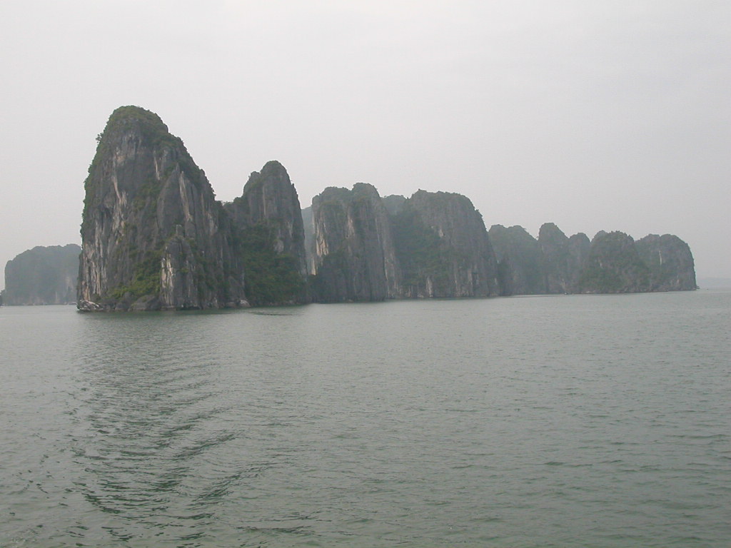
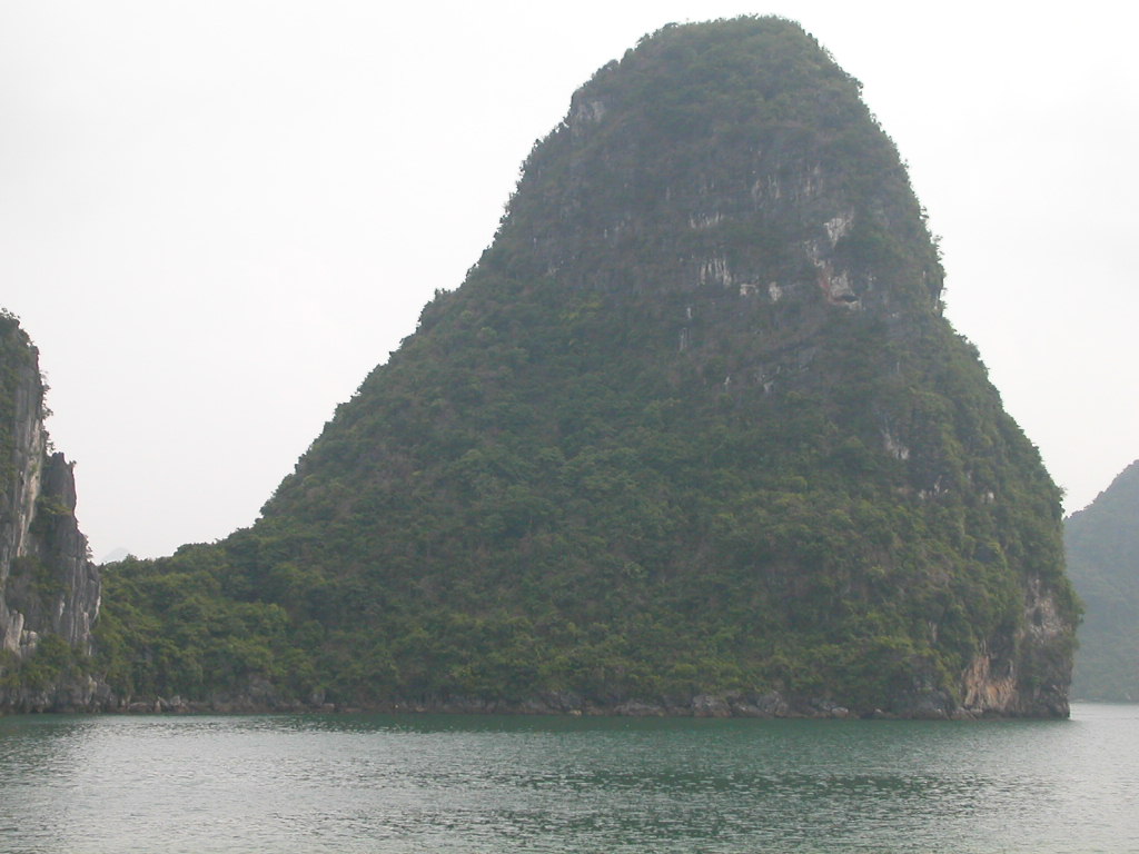
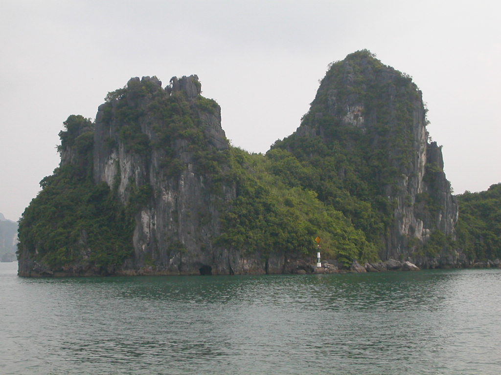
Ha Long Bay sits within Quang Ninh province, covering around 1,550 square kilometres of the Gulf of Tonkin. Its defining feature is a dense archipelago of roughly 1,600 limestone karst islands and islets, sculpted by millennia of erosion into towers, arches and sea caves. The bay holds UNESCO World Heritage status, awarded first in 1994 and extended in 2000.
Ha Long, Lan Ha and Bai Tu Long
The name "Ha Long Bay" is often used loosely to cover a wider seascape that actually comprises three distinct zones with different characters and access rules.
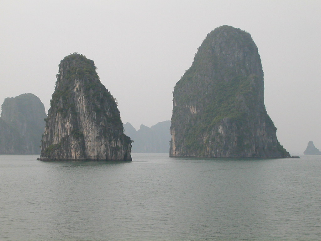
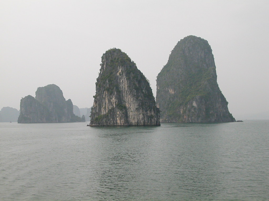
- Ha Long Bay (core zone): The most visited area, with the highest concentration of tour boats, floating villages and famous formations such as Fighting Cock Rocks. Crowds are heaviest here, particularly around the southern entrance near Tuan Chau marina.
- Bai Tu Long Bay: Immediately to the northeast, less visited, with similar limestone geology but fewer tour operators licensed to enter. Itineraries here tend to be quieter, though the scenery is closely comparable.
- Lan Ha Bay: Southeast of Ha Long, administratively connected to Cat Ba Island. Lan Ha is accessible to kayakers and smaller boats and is generally considered less crowded than the Ha Long core zone. Cat Ba Island itself offers an alternative base for exploring this southern section of the archipelago.
Travellers looking to avoid the busiest corridors often seek itineraries that route through Bai Tu Long or Lan Ha, though the trade-off is that some famous landmarks are only within the core Ha Long zone.
What there is to see
The primary draw is the karst landscape itself — the interplay of water, mist and stone changes significantly with light and weather. Beyond that, several specific sites appear on most itineraries.
- Sung Sot Cave (Cave of Surprises): One of the largest cave systems in the bay, on Bo Hon Island. Two interconnected chambers contain stalactites and stalagmites illuminated by coloured lights. It receives a very high volume of visitors and congestion is common during peak hours.
- Thien Cung Cave (Heavenly Palace Cave): Smaller than Sung Sot but considered by many guides to have more intricate formations. Access is via a short climb from the water.
- Kayaking: Many cruise operators include guided kayaking to reach sea caves, lagoons and mangrove passages not accessible by larger vessels. Independent kayaking is restricted in some zones; the rules are set by the bay authority and subject to change, so travellers should confirm current permissions with their operator before booking.
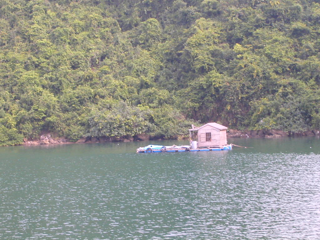
- Floating fishing villages: Vung Vieng and Cua Van are the most frequently visited. Residents have historically made their living by aquaculture, though the Vietnamese government has gradually relocated many families ashore over recent years.
The question of whether Ha Long Bay requires a written visa page for certain nationalities is currently unsettled; consult the Vietnam e-visa page and official sources for current requirements.
Day trip versus overnight cruise
Ha Long Bay is most commonly visited on an overnight or two-night cruise departing from Hanoi or Hai Phong. Day trips exist but are a different experience: the travel time from Hanoi means several hours are spent in transit each way, leaving limited time on the water.
One-night cruises typically depart around midday, include an afternoon of activities, overnight anchorage, a morning excursion the following day, and return passengers to the mainland by early afternoon. This format suits travellers with limited time but means arriving at popular caves during the busiest part of the day.
Two-night cruises allow a more relaxed pace, often with an earlier departure from the tourist crowds in the morning of the second day, and occasionally venture further into Bai Tu Long or spend time in Lan Ha. For travellers whose primary interest is the landscape rather than checking a landmark, the extra night makes a meaningful difference.
Cruise operators vary widely in vessel quality, crew ratios, itinerary routing and group size. At the budget end, boats are older, groups are larger and itineraries concentrate in the most congested corridors. Higher-tier vessels tend to limit passenger numbers, use newer hulls and offer more cabin space, though the bay itself is the same regardless of which deck one is standing on.
Crowding and environmental conditions
Ha Long Bay is one of the most heavily visited natural sites in Southeast Asia. On busy days, dozens of cruise vessels anchor near the same caves and formations simultaneously. The Vietnamese government has at various points imposed vessel quotas, zoning rules and overnight anchorage limits, and these regulations have changed more than once; current conditions may differ from older travel accounts.
Plastic waste and fuel pollution have been documented by researchers and journalists. Operators marketing "eco" credentials vary considerably in what that actually means in practice. The bay authority has run periodic clean-up programmes and introduced stricter waste disposal requirements for cruise boats, but independent assessments of water quality remain mixed.
Travellers who are sensitive to crowding or who place a high priority on environmental conditions should research current operator reviews and, where possible, choose itineraries routed away from the core Ha Long zone during peak hours. The issue is real and worth weighing against the undoubted scale of the landscape.
When to go
The bay's weather divides broadly into two seasons. October through April brings cooler, drier conditions, lower humidity and generally clearer visibility — this is the most popular period. November to March can be cool enough in the early morning for a light layer, and occasional mist gives the karst islands a distinctive atmosphere, though persistent fog can also reduce visibility entirely for a day or two at a time.
June through September sits within the typhoon season. Storms are not guaranteed, but the risk is real and cruise operators may cancel or significantly alter itineraries at short notice if a system approaches. Rainfall is heavier and heat and humidity are higher. Some travellers visit during this period without incident; others have cruises cancelled.
May and September-October are transitional months that can offer reasonable conditions with somewhat smaller crowds than the December-February peak. For fuller regional weather context, see When to go: weather by region.
Getting there
The standard route from Hanoi is by road along the Hanoi–Hai Phong–Ha Long expressway. Limousine minibus services run door-to-door between central Hanoi hotels and the cruise marinas (most commonly Tuan Chau or Hon Gai). Journey times depend on traffic and the specific marina; allow for variability. Details of scheduled bus services on this corridor are covered on the Hanoi to Hai Phong and Ha Long buses page.
Most cruise packages include return transfers from Hanoi as part of the booking, so independent transport is primarily relevant for travellers who are not joining a package cruise or who are arriving from Hai Phong or elsewhere.
There is an entry fee to the bay, collected separately from cruise costs; the amount is set by the provincial authority and subject to revision. For practical matters including payments and currency, see Money, ATMs and cards. On common scams affecting tourists in this area, including overpriced transfers and bait-and-switch cruise upgrades, see Safety and common scams.
월별 기후
장기 평균값이며 예보가 아닙니다. 기준 기간: 2015–2024. 출처: ERA5 reanalysis (Copernicus) via the Open-Meteo archive API.
Show the numbers
| 월 | 최고 기온 °C | 최저 기온(°C) | 강수량(mm) | 강수일수 | Humidity % |
|---|---|---|---|---|---|
| January | 19.8 | 15.0 | 51 | 9 | 78 |
| February | 20.5 | 15.7 | 46 | 8 | 81 |
| March | 23.5 | 19.1 | 45 | 11 | 86 |
| April | 26.6 | 21.9 | 79 | 12 | 85 |
| May | 29.3 | 25.3 | 178 | 19 | 86 |
| June | 31.0 | 27.4 | 258 | 22 | 85 |
| July | 30.8 | 27.1 | 315 | 24 | 85 |
| August | 30.5 | 26.6 | 433 | 26 | 87 |
| September | 30.0 | 25.6 | 304 | 22 | 84 |
| October | 28.0 | 22.8 | 134 | 11 | 75 |
| November | 25.6 | 20.3 | 41 | 8 | 75 |
| December | 21.1 | 15.7 | 23 | 6 | 69 |
Practical notes
Where it is
Also known as / see also
주변
참조 페이지
출처 목록
- ERA5 climate normals — Copernicus / Open-Meteo (CC BY 4.0) 접근됨 30 August 2026
Supports: monthly temperature and rainfall normals, and elevation - Hạ Long Bay — Wikipedia (CC BY-SA 4.0) 접근됨 29 August 2026
Supports: carried over from the first build - Vịnh Hạ Long — Wikipedia (Vietnamese) (CC BY-SA 4.0) 접근됨 29 August 2026
Supports: carried over from the first build
Current 마지막 확인: 29 August 2026. Rules, fares and prices change — check the official source before acting on anything here. Report a mistake.
Picture credits (7)
Ha Long Bay, sunset, Andrew Crump from London, UK, CC BY 2.0, Wikimedia Commons · Ha Long bay tourism, Syced, CC0, Wikimedia Commons · Ha Long bay tourism 10, Syced, CC0, Wikimedia Commons · Ha Long bay tourism 11, Syced, CC0, Wikimedia Commons · Ha Long bay tourism 16, Syced, CC0, Wikimedia Commons · Ha Long bay tourism 18, Syced, CC0, Wikimedia Commons · Ha Long bay tourism 19, Syced, CC0, Wikimedia Commons