The place itself has not changed, and this page continues to cover it.
2025 constitutional amendment and Law on Organisation of Local Government establishing a two-tier local government
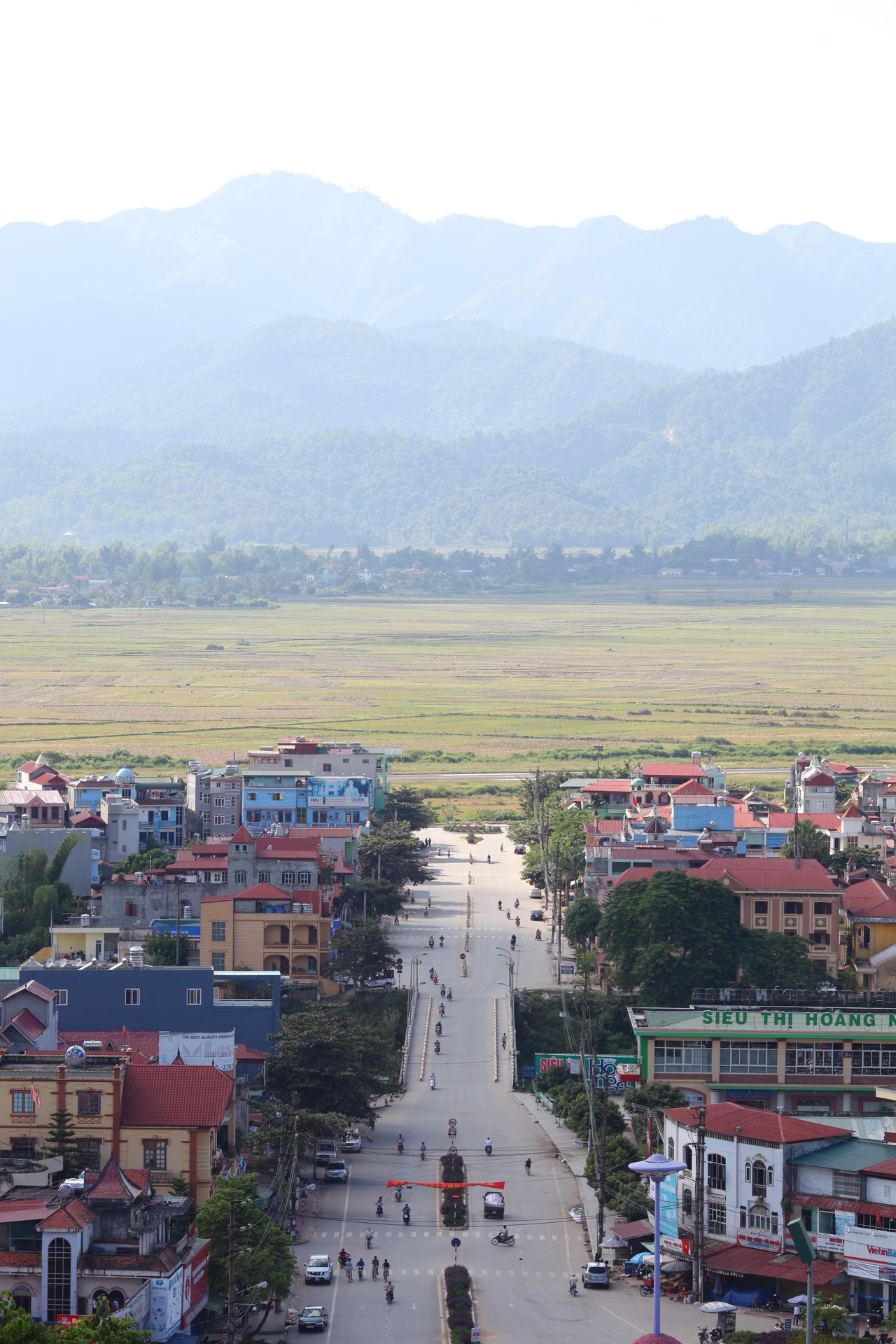
Dien Bien Phu sits in the Muong Thanh valley, close to the Laos border in what is now Dien Bien province. The city exists largely because of the battle fought here in the spring of 1954, when Viet Minh forces under General Vo Nguyen Giap defeated the French garrison, bringing the First Indochina War to a close and reshaping the political map of Southeast Asia.
The 1954 battle
In late 1953, French commanders established a fortified camp at Dien Bien Phu, intending it to draw Viet Minh forces into a set-piece engagement the French believed they could win. The calculation failed. Viet Minh logistics teams, using tens of thousands of porters and bicycles, hauled artillery through jungle and over mountains to positions overlooking the valley. The siege began in March 1954 and lasted 56 days. On 7 May 1954, the garrison surrendered — the first time in the modern era that an Asian army had defeated a major European colonial power in open battle. The Geneva Accords followed in July, partitioning Vietnam at the 17th parallel and effectively ending French Indochina. The date 7 May is observed in Vietnam as Dien Bien Phu Victory Day, and the anniversary draws commemorations at the site each year, with larger ceremonies on milestone years.
Battlefield sites and monuments
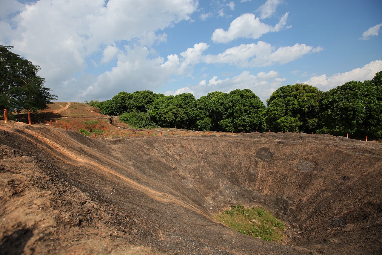
A1 Hill (called Eliane 2 by the French) was among the most fiercely contested positions in the battle. It changed hands multiple times and was finally taken by Viet Minh forces the night before the final surrender. A large crater near the summit marks where a tunnel bomb was detonated. Remnants of trenches and bunkers remain on the hill, and a small memorial stands at the top.
The De Castries bunker, reconstructed on its original site on the valley floor, was the command centre of French General Christian de Castries. The reconstruction gives a sense of the underground conditions in which the command operated during the siege.
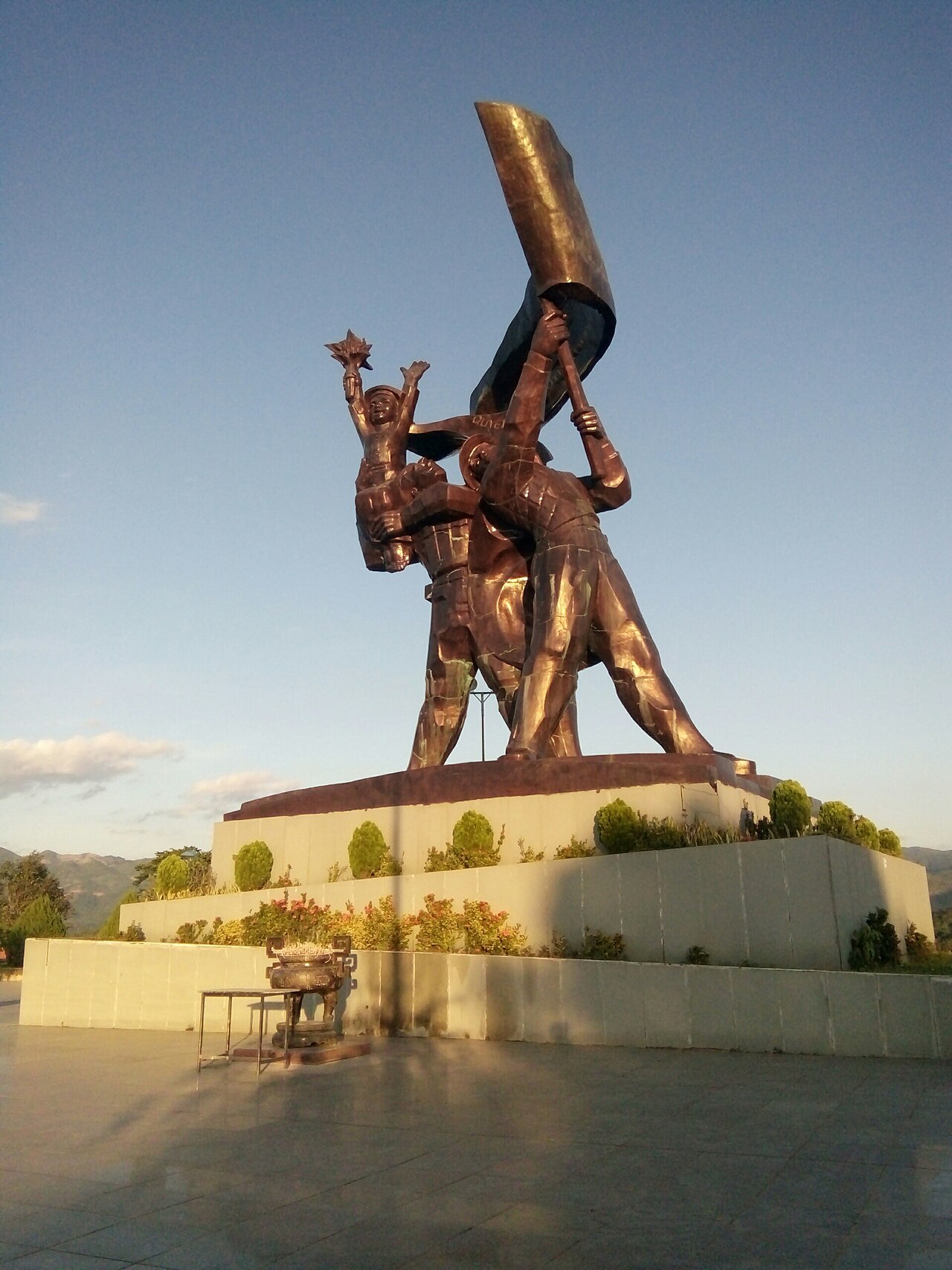
The Victory Monument stands near the centre of the modern city, a large sculptural group depicting Viet Minh soldiers. It is a common orientation point when moving between sites. The battlefield landmarks are spread across a walkable or easily cycled area, though the heat in summer makes the exposed hilltop sites uncomfortable.
Museum and panorama painting
The Dien Bien Phu Museum holds an extensive collection of weaponry, maps, photographs and personal effects from both sides of the battle. Captions are in Vietnamese and French, with some English. The museum has been expanded and updated ahead of major anniversaries.
Adjacent to the museum is a purpose-built rotunda housing the panorama painting, completed in 2004 for the 50th anniversary. The cyclorama — roughly 132 metres in circumference and 20 metres high — depicts scenes from the battle in a 360-degree format intended to place the viewer inside the action. It is one of the largest paintings of its kind in Southeast Asia. There is an entry fee for the museum and the panorama, charged separately or combined; the exact amounts are posted at the entrance.
When to go
The valley has a distinct seasonal pattern. September to November and March to April are generally the most comfortable months: temperatures are moderate, rainfall is lower, and the surrounding hills are green without being waterlogged. Summer (May to August) brings heavy rain, heat and humidity; the battlefield sites, which involve open hillsides and minimal shade, become tiring in those conditions. The cool-season months of December and January can be cold at night given the valley's elevation. For more detail on regional weather patterns, see When to go: weather by region. Visitors planning to attend the 7 May anniversary ceremonies should book transport and accommodation well in advance, particularly in years ending in 0 or 5.
Getting there and away
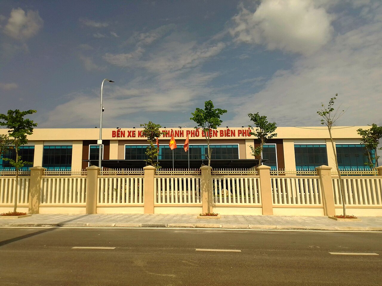
By air: Dien Bien Phu Airport (DIN) receives flights from Hanoi, operated by Vietnam Airlines and occasionally other carriers. The flight takes under an hour. Schedules and frequency vary by season; checking directly with carriers or a booking platform is advisable, as routes to smaller airports in Vietnam can change.
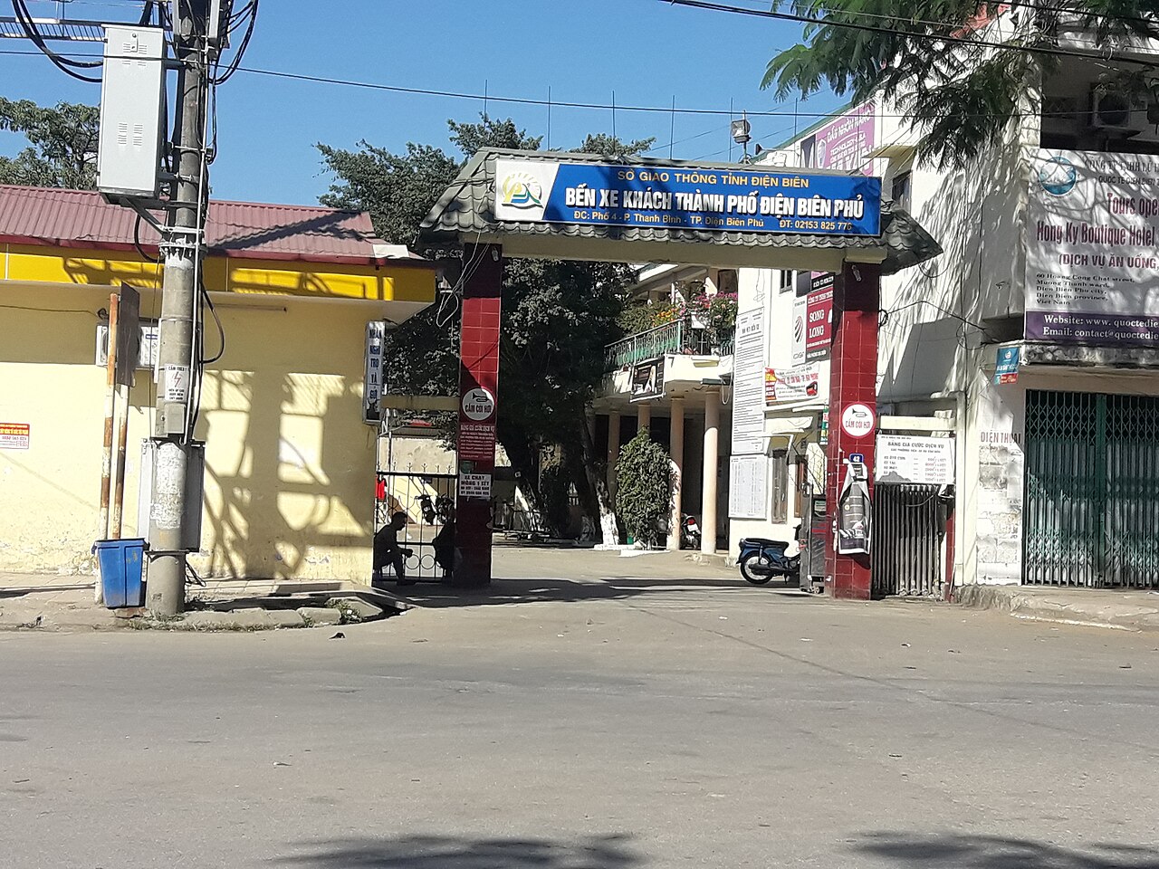
By road from Hanoi: The overland journey via Son La is long — typically a full day by sleeper bus or longer by day bus — crossing mountain passes through Son La and Lai Chau. Road quality has improved with stretches of expressway, but mountain sections remain winding. Some travellers combine a flight one way with an overland return to see the northwest landscapes, stopping at Sapa or Y Ty.
Border crossing to Laos: The Tay Trang–Pang Hok crossing, roughly 35 kilometres from Dien Bien Phu city, connects Vietnam with Phongsali province in northern Laos. The crossing is open to foreign nationals, though entry requirements for both countries, including whether a Laos visa on arrival is available here, should be verified before travel as policies change. Vietnam's own visa arrangements are summarised at Vietnam e-visa.
Practical notes
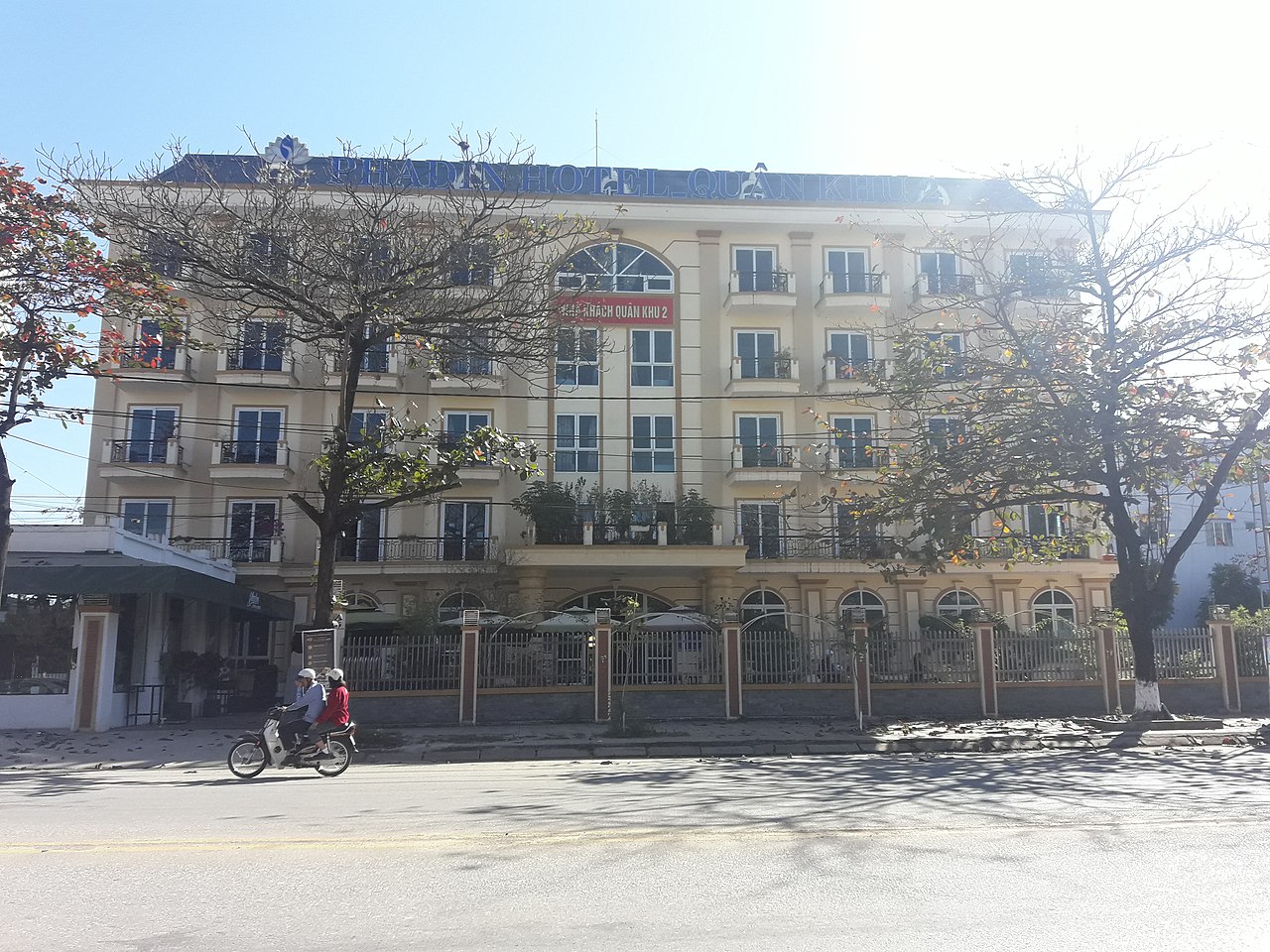
Dien Bien Phu is a provincial city rather than a tourist resort. Accommodation ranges from basic guesthouses to mid-range hotels; options are more limited than in Hanoi or Sapa, and advance booking is sensible around the May anniversary. ATM coverage exists in the city centre but is thinner than in larger cities — see Money, ATMs and cards for general guidance. Mobile data is available but signal drops in the mountain approaches to the valley. Buying a local SIM on arrival in Hanoi is more reliable than depending on coverage en route; see SIM cards and eSIMs. The city is generally safe; the usual sensible precautions apply, outlined at Safety and common scams.
Clima por mês
Médias de longo prazo, não uma previsão. Período de referência: 2015–2024. Fonte: ERA5 reanalysis (Copernicus) via the Open-Meteo archive API.
Show the numbers
| Mês | Máx. °C | Mín. °C | Chuva em mm | Dias de chuva | Humidity % |
|---|---|---|---|---|---|
| January | 23.5 | 12.4 | 50 | 6 | 77 |
| February | 26.2 | 13.7 | 31 | 4 | 70 |
| March | 30.5 | 17.4 | 52 | 9 | 68 |
| April | 31.7 | 19.9 | 90 | 12 | 70 |
| May | 32.0 | 22.3 | 154 | 19 | 77 |
| June | 30.1 | 23.1 | 237 | 27 | 86 |
| July | 29.6 | 22.9 | 296 | 26 | 89 |
| August | 28.8 | 22.6 | 405 | 27 | 91 |
| September | 29.1 | 21.6 | 179 | 19 | 89 |
| October | 28.3 | 19.2 | 70 | 11 | 83 |
| November | 27.2 | 16.4 | 24 | 5 | 77 |
| December | 24.1 | 12.8 | 31 | 5 | 75 |
Where it is
Also known as / see also
Nas proximidades
Referenciado por
Fontes
- ERA5 climate normals — Copernicus / Open-Meteo (CC BY 4.0) truy cập 30 August 2026
Supports: monthly temperature and rainfall normals, and elevation - Điện Biên Phủ (Q36027) — Wikidata (CC0 1.0) truy cập 30 August 2026
Supports: coordinates, area, population - Điện Biên Phủ — Wikipedia (CC BY-SA 4.0) truy cập 30 August 2026
Supports: background
Current Última verificação: 29 August 2026. Rules, fares and prices change — check the official source before acting on anything here. Report a mistake.
Picture credits (6)
The Victory Monument of Dien Bien Phu (front) v2, Ioe2015, CC BY-SA 4.0, Wikimedia Commons · Điện Biên Phủ2, [Tycho], CC BY-SA 3.0, Wikimedia Commons · Điện Biên Phủ, [Tycho], CC BY-SA 3.0, Wikimedia Commons · Bến xe khách thành phố Điện Biên Phủ 2022, Ioe2015, CC BY-SA 4.0, Wikimedia Commons · Bến xe khách thành phố Điện Biên Phủ, Ioe2015, CC BY-SA 4.0, Wikimedia Commons · Phadin Hotel – Quân khu 2, Ioe2015, CC BY-SA 4.0, Wikimedia Commons