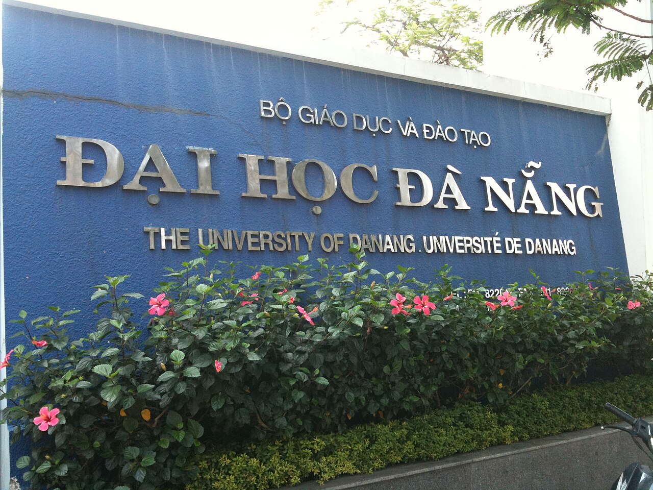
National Assembly Resolution 202/2025/QH15 on the rearrangement of provincial-level administrative units

What Da Nang is
Da Nang sits at the midpoint of Vietnam's coast, where the Hai Van Pass separates the cooler, rainier north from the drier south. The Han River divides the city roughly east to west: the older commercial core on its western bank, and a long beachfront strip — Mỹ Khê and beyond — to the east. The Marble Mountains (Ngũ Hành Sơn), a cluster of limestone hills with caves, pagodas and Cham-era carvings, rise from the southern coastal plain.
Since 1 July 2025, Da Nang has been a municipality, formed from the merger of the former Da Nang municipality and Quang Nam province. The expanded unit now covers a substantial inland area that reaches into the Trường Sơn mountain range. The city itself, its beaches, and its landmarks have not moved or changed name — the administrative reorganisation affects how the territory is governed, not the geography.
The place is particularly associated with three things: a liveable urban infrastructure by Vietnamese standards, proximity to the South Central Coast's main heritage sites, and a stretch of beach that has attracted large resort development since the early 2010s.

Getting there and away
Da Nang International Airport (DAD) handles both domestic and international routes. Domestic flights connect it to Hanoi, Ho Chi Minh City, and several other Vietnamese cities with high frequency; international routes include connections to cities across East and Southeast Asia. The airport sits within the urban area, roughly three kilometres from the Han River.
The Reunification Express stops at Da Nang station, with services to Hanoi in the north and Ho Chi Minh City in the south. The leg north to Hue crosses the Hai Van Pass, a stretch that many travellers rate as among the most scenic rail journeys in Vietnam. Southbound, the next major stop is Quang Ngai.
Open-tour buses link Da Nang to both Hue and Hoi An and are widely used by travellers moving along the coast. Ride-hailing apps and metered taxis are the standard way to move within the city; motorbike rentals are available but the road network, including some fast urban expressways, requires attention.
Climate and when to go
Da Nang's climate divides into a clear dry season and a wet season that runs opposite to Hanoi but also differs from Ho Chi Minh City. The warmest and driest months run from March through August, with temperatures climbing to their highest in June and July and rainfall remaining relatively low. This period draws the largest volume of beach visitors.
From September the weather shifts sharply. October and November bring the heaviest rainfall — by a significant margin the wettest months of the year — as tropical weather systems move across the central coast from the South China Sea. September can also bring flooding. December through February is cooler and wetter than the dry-season months but drier than the October–November peak; January is the coolest month overall, though temperatures remain mild compared to the north.
The practical consequence is that a visitor arriving in late October expecting beach weather may find persistent rain and occasional disruption to transport. For detailed regional comparisons, see When to go: weather by region. The weather in inland and mountain areas of the expanded municipality can differ substantially from the coast.
Sights and surrounding area
Within the city, the Marble Mountains are the most visited single site: five marble-and-limestone outcrops containing Buddhist pagodas, Hindu Cham carvings, and caves large enough to hold altars and, during wartime, field hospitals. The Dragon Bridge (Cầu Rồng) across the Han River has become an emblem of the city's post-2000 development; it breathes fire on weekend evenings. The Museum of Cham Sculpture holds the largest collection of Cham stonework in the world, drawn from sites across the former Champa kingdom.
Day trips from the city are the reason many visitors come at all. Hoi An, the well-preserved trading port with its Japanese covered bridge and merchant houses, is roughly 30 kilometres to the south. My Son Sanctuary, a partially ruined complex of Cham towers in a forested valley, is around 70 kilometres away. Hue, the former imperial capital, lies roughly 100 kilometres north via the Hai Van Pass. Bach Ma National Park, a cloud-forest reserve on the watershed ridge, is accessible from the road between Da Nang and Hue.
Staying in Da Nang
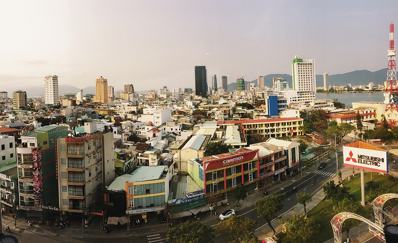
Accommodation clusters into distinct zones. The beachfront strip along Mỹ Khê and Phạm Văn Đồng roads is dominated by mid-range and upscale hotels, many with direct beach access; this area has expanded considerably with large resort properties occupying the coast south toward the Marble Mountains and Non Nước beach. The urban centre on the west bank of the Han River offers a denser mix of guesthouses, business hotels and serviced apartments, and is closer to the train station, markets and the older commercial streets.
A smaller cluster of accommodation has developed around the Marble Mountains village, popular with visitors prioritising the southern day trips to Hoi An and My Son over beach access. Longer-stay residents and remote workers tend to favour the urban core or quieter inland streets, where living costs differ meaningfully from the beachfront zone. See Money, ATMs and cards for practical financial information.
Food
Da Nang and the surrounding central region have a distinct culinary identity, separate from both Hanoi and Ho Chi Minh City. Mì Quảng is the dish most associated with the area: a wide rice noodle served with a small amount of broth, pork, shrimp, peanuts and herbs, with the noodles taking precedence over the liquid — the opposite of a soup. Bánh mì here is claimed by many locals to have regional characteristics distinct from the Saigon version, with a specific crumb structure and set of fillings. Bún chả cá, a fish-cake noodle soup, is widely eaten for breakfast.
The fish market at Mỹ Khê and the street-food lanes around Chợ Hàn (Han Market) concentrate much of the city's casual food culture. Seafood is central to coastal cooking; preparations tend toward simplicity — grilling, steaming, salt-and-chilli — rather than heavy saucing. For a broader account of the region's culinary traditions, see Central Vietnamese cuisine.
Common misunderstandings
The administrative merger of July 2025 catches some visitors off guard: maps and booking platforms produced before that date show Da Nang and Quang Nam as separate units. The municipality now formally encompasses what was previously Quang Nam province, including Hoi An and My Son — but those places continue under their own names and are not referred to as part of "Da Nang city" in everyday use. The city itself remains distinct from the broader municipality.
The Hai Van Pass road is frequently described as a motorcycling route, and while it is open to motorbikes, the main highway traffic now passes through a tunnel below; the pass road is quieter than it once was and in poor repair in sections. Weather on the pass can differ sharply from both the Da Nang and Hue sides.
October and November flooding has disrupted roads between Da Nang and Hoi An in past years; the route is low-lying and follows river flood plains. Travellers planning central Vietnam during this period should check conditions rather than assume the road is passable. See also Safety and common scams, Vietnam e-visa and SIM cards and eSIMs for general practical preparation.
月別気候
長期平均値であり、予報ではありません。 参照期間: 2015–2024. 出典: ERA5 reanalysis (Copernicus) via the Open-Meteo archive API.
Show the numbers
| 月 | 最高気温 °C | 最低気温 °C | 降水量(mm) | 雨天日数 | Humidity % |
|---|---|---|---|---|---|
| January | 23.8 | 20.1 | 170 | 20 | 86 |
| February | 24.4 | 20.2 | 78 | 13 | 86 |
| March | 27.0 | 22.5 | 52 | 10 | 87 |
| April | 29.6 | 24.5 | 75 | 8 | 85 |
| May | 31.8 | 26.4 | 73 | 13 | 81 |
| June | 33.6 | 27.3 | 66 | 10 | 76 |
| July | 32.6 | 26.7 | 118 | 16 | 77 |
| August | 33.0 | 26.8 | 116 | 17 | 76 |
| September | 30.7 | 25.7 | 242 | 22 | 83 |
| October | 28.1 | 24.4 | 467 | 26 | 85 |
| November | 26.7 | 23.3 | 346 | 24 | 86 |
| December | 24.3 | 21.3 | 346 | 25 | 85 |
Places within Da Nang
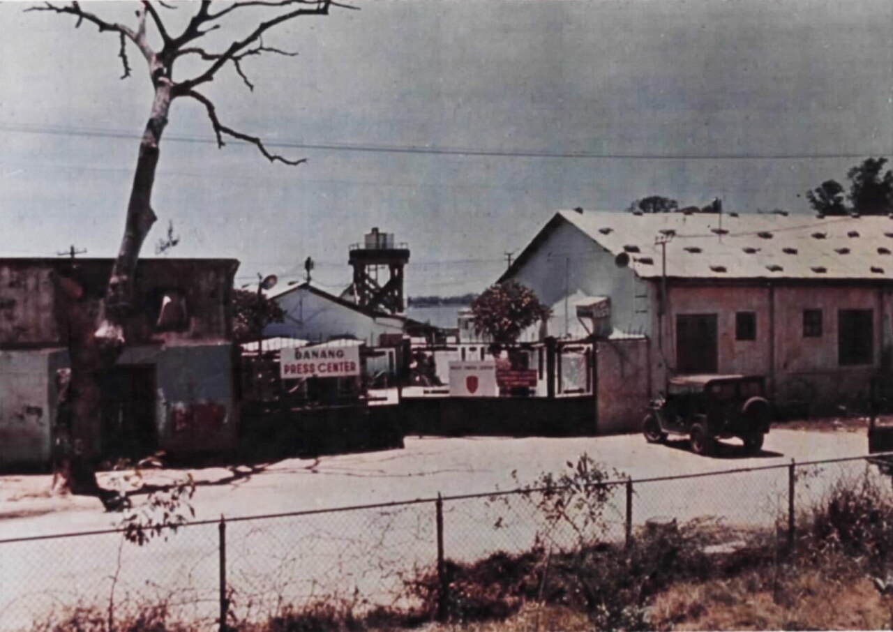 Destination
Da Nang
Central Vietnam's largest city, known for My Khe beach, the Marble Mountains, and easy…
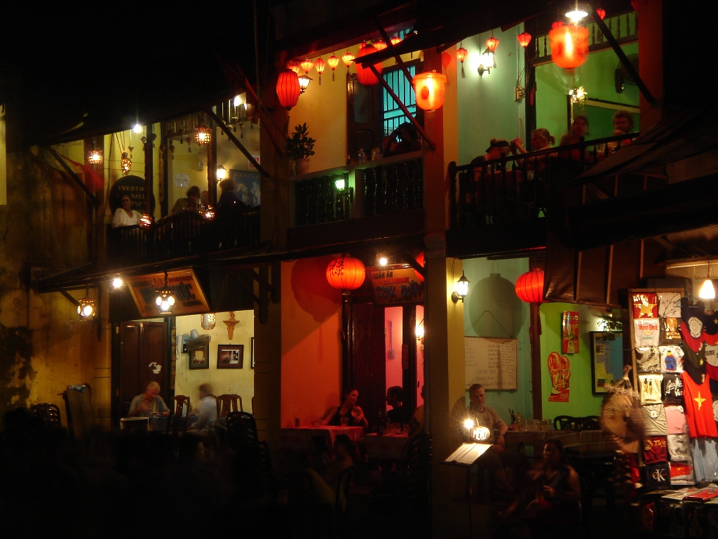 Destination
Hoi An
UNESCO-listed ancient trading port on Vietnam's south-central coast, known for tailors…
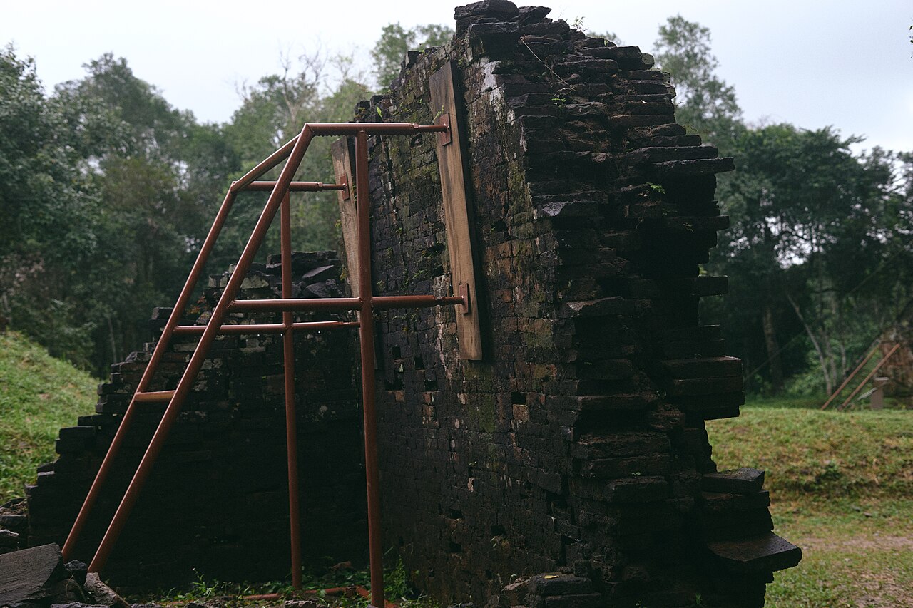 Destination
My Son Sanctuary
Vietnam's largest Cham temple complex, a UNESCO World Heritage Site set in a jungle valley…
Where it is
Also known as / see also
近隣
統合済み
参照元
出典
- ERA5 climate normals — Copernicus / Open-Meteo (CC BY 4.0) アクセス日 30 August 2026
Supports: monthly temperature and rainfall normals, and elevation - Da Nang (Q25282) — Wikidata (CC0 1.0) アクセス日 30 August 2026
Supports: coordinates, area, population - Da Nang — Wikipedia (CC BY-SA 4.0) アクセス日 30 August 2026
Supports: background
Current 最終確認: 31 August 2026. Rules, fares and prices change — check the official source before acting on anything here. Report a mistake.
Picture credits (9)
Dai Hoc Da Nang Sign, Dragfyre, CC BY-SA 3.0, Wikimedia Commons · Audience impressed by Danang International Firework Festival, Vivu Vietnam, CC BY-SA 4.0, Wikimedia Commons · Ba Na Hills French Village castle aerial view fog Da Nang Vietnam, Vivu Vietnam, CC BY-SA 4.0, Wikimedia Commons · Da Nang (49373181496), Martin Lewison from Forest Hills, NY, U.S.A., CC BY 2.0, Wikimedia Commons · Da Nang, Vietnam (48879172367), Nick, CC BY 2.0, Wikimedia Commons · Da Nang. From roof of Vanda Hotel, Person-with-No Name, CC BY 2.0, Wikimedia Commons · Da Nang Press Center, Unknown author Unknown author, Public domain, Wikimedia Commons · Dem ram Hoi An 2006, User Zimmelino on Flickr, CC BY-SA 1.0, Wikimedia Commons · My Son Sanctuary, Vietnam, 2017 (52415210322), JL Cogburn, CC BY-SA 2.0, Wikimedia Commons