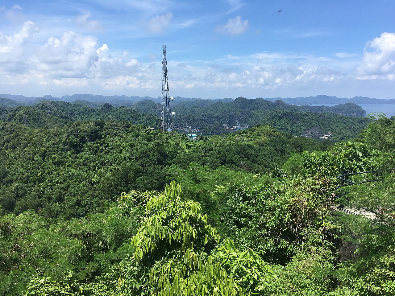
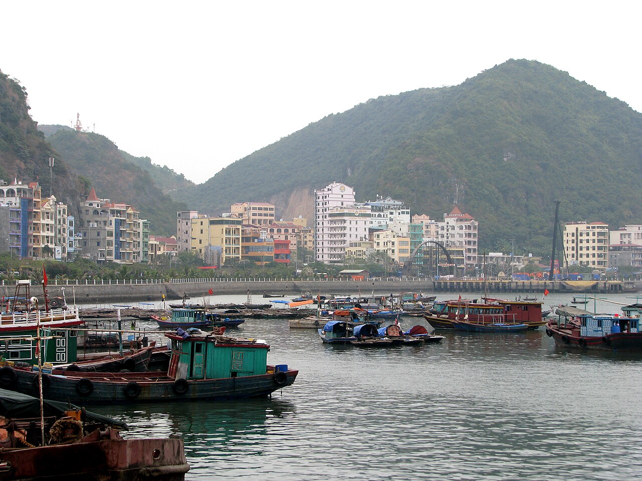
Cat Ba Island sits at the southern edge of the broader Ha Long karst zone, within Hai Phong province. Roughly two-thirds of the island is protected as Cat Ba National Park, while the eastern harbour town concentrates most accommodation, restaurants and boat operators. The island is the main practical base for exploring Lan Ha Bay and offers an alternative to booking a Ha Long cruise from Hanoi.
Lan Ha Bay and Ha Long compared
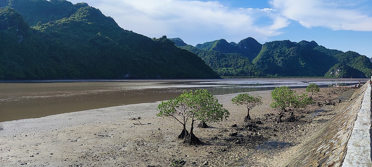
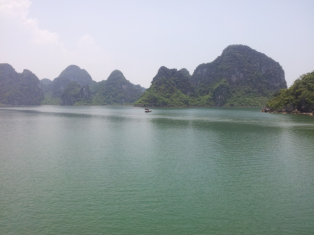
Lan Ha Bay lies immediately east of Cat Ba and is administered separately from Ha Long Bay to the north, though the two form part of the same limestone karst system. Lan Ha has several hundred islands and islets, a smaller fleet of overnight cruise boats than Ha Long, and a higher proportion of kayaking and swimming stops relative to sightseeing-only routes. Because most Ha Long cruises depart from Quang Ninh province's Tuan Chau or Hon Gai terminals, travellers who base themselves on Cat Ba reach Lan Ha more directly and at generally lower cost, though the upper end of the Ha Long cruise market offers vessels and itineraries not replicated on Lan Ha. Whether Cat Ba or a Ha Long cruise better suits a particular trip depends on budget, time available, and preference for independent versus packaged travel — the question is genuinely open and neither option is straightforwardly superior.
Cat Ba National Park and the Viet Hai trail
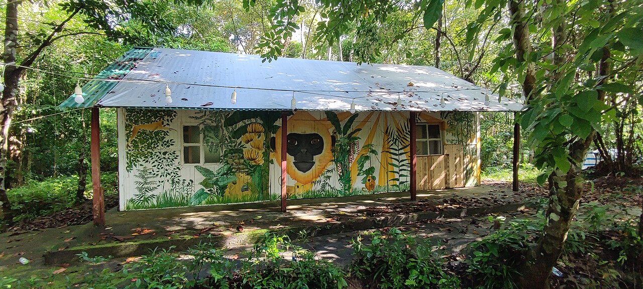
Cat Ba National Park covers the interior and western portions of the island. The terrain is steep limestone karst with tropical forest, freshwater lakes, and a coastline of small coves. There is an entry fee to the park. The Cat Ba langur, one of the world's rarest primates, lives only on this island; sightings are not guaranteed and the population remains critically small.
The most-walked multi-hour route crosses the park to the village of Viet Hai on the western coast, passing through forest and over ridgelines. The trail requires a guide by park regulation. Viet Hai itself is a small farming and fishing settlement with no road connection to the harbour town; visitors return by boat or retrace the trail. Park rangers and licensed operators at the park entrance can arrange guided departures; numbers are sometimes limited.
Rock climbing and Cannon Fort
Cat Ba has become one of Vietnam's more established rock-climbing destinations. The limestone karst provides sport and deep-water solo routes, with walls rising from both the island's interior and directly from the sea. Several operators in the harbour town rent gear and lead guided sessions for beginners as well as routes for experienced climbers. The season broadly follows the dry and calm months.
Cannon Fort (Pháo Đài Thần Công) sits on a hill above the town and was used as a military position during the American War. It now functions as a viewpoint and small museum. The climb to the fort on foot takes under an hour from the harbour, and the views across the bay and town are among the clearest available without a boat. There is an entry fee.
Getting to Cat Ba
The main route uses ferries and bus-ferry combinations from Hai Phong. Passenger-only ferries and vehicle ferries operate from different Hai Phong terminals; journey times and crossing points vary by operator and season. Bus-ferry packages sold in Hanoi combine a coach to a Hai Phong pier with the ferry crossing; they are widely used and broadly reliable, though the exact routing can change.
A cable car now connects the island's northern tip to the Ha Long Bay side, linking Cat Ba to the mainland tourism infrastructure around Ha Long city. This route has grown in use since it opened but involves transfers and is not always the fastest or cheapest option depending on where a traveller is coming from. Check current schedules with operators directly, as services adjust by season.
There is no commercial airport on Cat Ba. Hanoi's Noi Bai airport is the nearest major hub; travellers connect overland and by sea from there.
When to go
Cat Ba's weather follows the northern Vietnamese pattern — see When to go: weather by region for a fuller picture. The warmest and most reliably calm months for swimming and kayaking run from April through October. October and November are generally cited as the clearest period, with lower humidity and good visibility for both bay trips and hiking, though water temperatures begin to fall. Winter months from December through February can be cold, overcast and misty; boat operators reduce schedules and some close entirely. Typhoon risk is present from July through September; individual storms are unpredictable but their effects can ground boats for several days at a time.
Practical notes
The harbour town has ATMs, though supply can run short during busy periods — Money, ATMs and cards covers the broader picture. Mobile signal is reasonable in town and along the main road; coverage drops in the national park. Local SIM options are covered at SIM cards and eSIMs.
Most visitors from Europe, North America and Australia enter Vietnam on an e-visa; the official immigration authority is the definitive source on current eligibility and conditions, as these can change by decree. Common issues on Cat Ba include inflated prices for boat day-trips sold by unlicensed touts at the harbour and weight or quality discrepancies at some seafood restaurants — Safety and common scams covers patterns to be aware of.
Note: whether Cat Ba requires a separate written tourism page distinct from Lan Ha Bay pages is currently unsettled within this site's editorial structure.
Климат по месяцам
Многолетние средние значения, не прогноз. Референсный период: 2015–2024. Источник: ERA5 reanalysis (Copernicus) via the Open-Meteo archive API.
Show the numbers
| Месяц | Макс. °C | Мин. °C | Осадки, мм | Дождливых дней | Humidity % |
|---|---|---|---|---|---|
| January | 19.0 | 15.6 | 48 | 9 | 80 |
| February | 19.7 | 16.1 | 36 | 8 | 82 |
| March | 22.8 | 19.2 | 42 | 11 | 87 |
| April | 26.0 | 22.2 | 64 | 12 | 85 |
| May | 28.8 | 25.7 | 164 | 17 | 85 |
| June | 30.7 | 27.7 | 218 | 18 | 83 |
| July | 30.5 | 27.3 | 310 | 21 | 83 |
| August | 30.2 | 26.7 | 419 | 24 | 85 |
| September | 29.5 | 25.9 | 358 | 22 | 83 |
| October | 27.4 | 23.5 | 161 | 14 | 75 |
| November | 24.7 | 21.2 | 48 | 9 | 76 |
| December | 20.3 | 16.7 | 26 | 6 | 71 |
Practical notes
Where it is
Also known as / see also
Рядом
Упоминается на страницах
Источники
- ERA5 climate normals — Copernicus / Open-Meteo (CC BY 4.0) просмотрено 30 August 2026
Supports: monthly temperature and rainfall normals, and elevation - Cát Bà Island — Wikipedia (CC BY-SA 4.0) просмотрено 29 August 2026
Supports: carried over from the first build - Cát Bà (đảo) — Wikipedia (Vietnamese) (CC BY-SA 4.0) просмотрено 29 August 2026
Supports: carried over from the first build
Current Последняя проверка: 29 August 2026. Rules, fares and prices change — check the official source before acting on anything here. Report a mistake.
Picture credits (5)
Cat Ba Island, Christophe95, CC BY-SA 4.0, Wikimedia Commons · Cat Ba Island 2, Shyamal, CC BY-SA 4.0, Wikimedia Commons · Building on Cat Ba island, Shyamal, CC BY-SA 4.0, Wikimedia Commons · gbuschner, CC BY-SA 3.0, Wikimedia Commons · Vietnam 08 - 28 - Cat Ba Island (3170461046), McKay Savage from London, UK, CC BY 2.0, Wikimedia Commons