National Assembly Resolution 202/2025/QH15 on the rearrangement of provincial-level administrative units
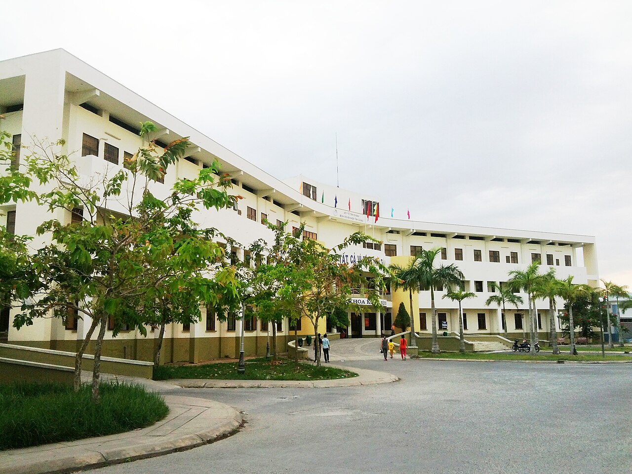
What Ca Mau is
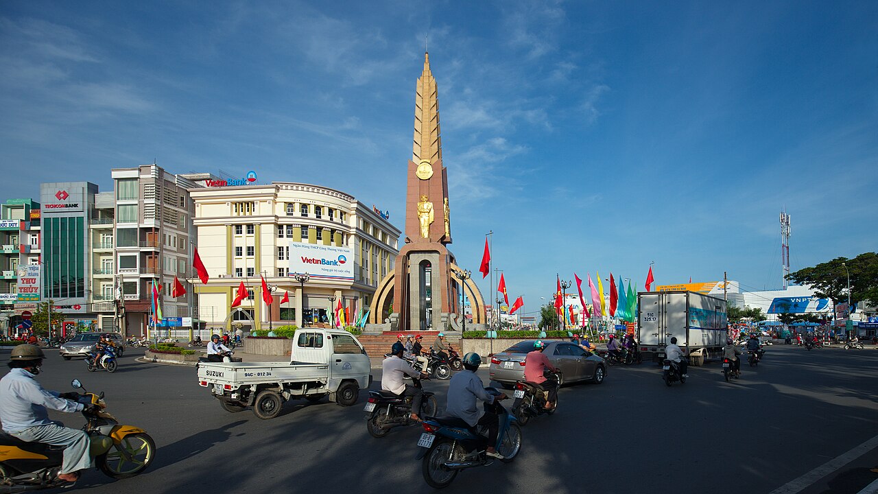
Ca Mau is the southernmost province of Vietnam, sitting at the tip of the Mekong Delta where the peninsula narrows and is flanked by the Gulf of Thailand to the west and the East Sea (South China Sea) to the east. The provincial centre, Ca Mau city, lies roughly 350 km south-west of Ho Chi Minh City.
From 1 July 2025, Vietnam reorganised its provincial-level administration from 63 units into 34. The new Ca Mau province was formed by merging the former Ca Mau province with the former Bac Lieu province. The district tier was abolished nationally at the same time, and administration now operates on a two-tier province/commune basis. The landscape, towns and local culture are unchanged by this reorganisation.
The province is predominantly flat, lying at or near sea level, and much of its territory is given over to mangrove forest, shrimp ponds, cajuput woodland and tidal channels. Ca Mau National Park, in the south-west, protects one of the largest contiguous mangrove ecosystems in South-East Asia outside the Sundarbans.
Ca Mau Cape and key sights
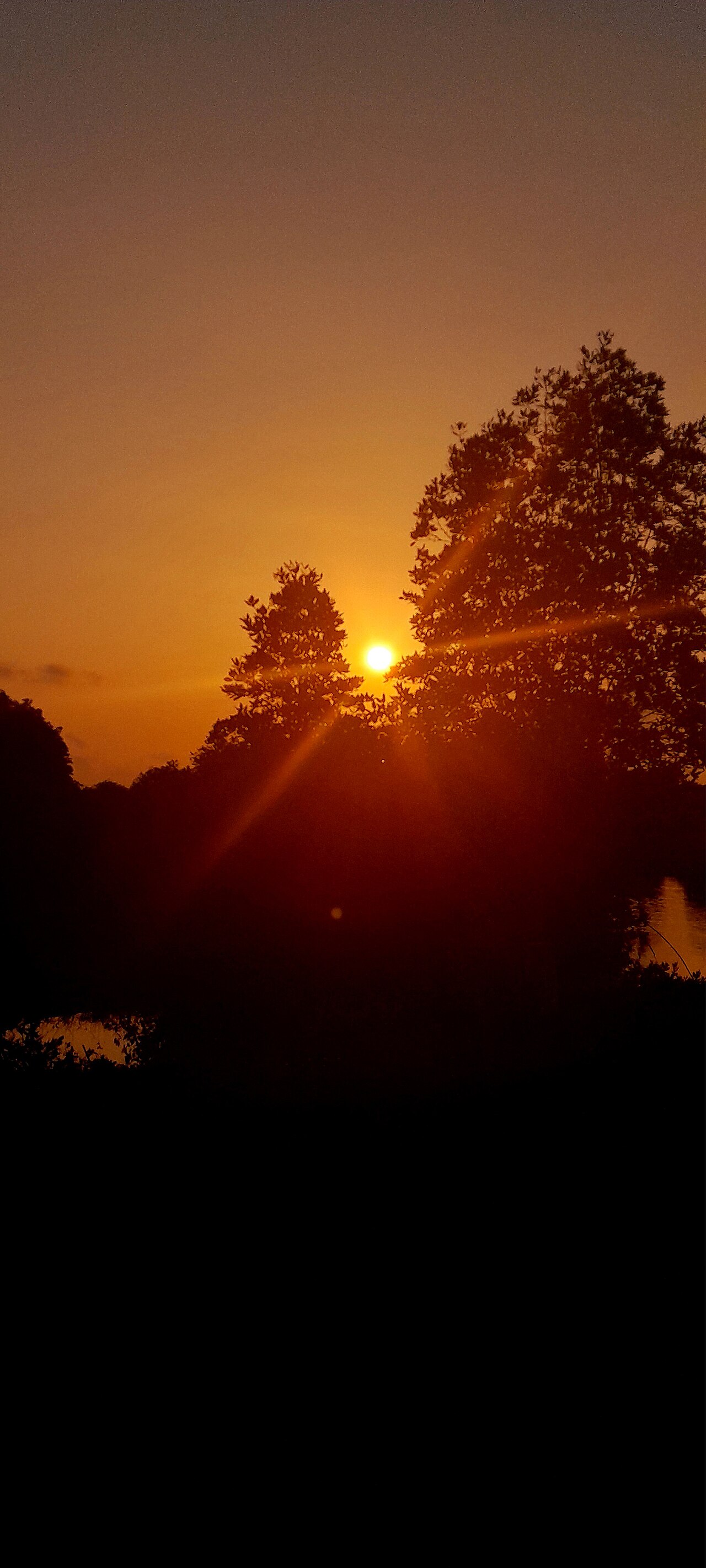
The principal geographical landmark is Ca Mau Cape (Mũi Cà Mau), the southernmost point of the Vietnamese mainland. It is reached by boat through mangrove channels from the town of Năm Căn, and carries significant symbolic weight in Vietnamese national identity — it marks the end of the country's north–south axis. A monument and observation tower mark the spot.
Ca Mau National Park covers the mangrove forests of the south-western peninsula. Boat trips through the channels are the standard way to see the forest interior, where saltwater crocodiles, fishing cats, smooth-coated otters and a range of wading birds are present. The U Minh Ha National Park, in the north of the province, protects a different habitat: peat-swamp cajuput forest, which floods seasonally and supports distinct wildlife including the hairy-nosed otter.
The former Bac Lieu portion of the province includes the town of Bac Lieu itself, known for its French colonial-era architecture and as the birthplace of đờn ca tài tử, the chamber music tradition of the southern Mekong Delta that is inscribed on UNESCO's Intangible Cultural Heritage list. Bac Lieu Bird Sanctuary, a coastal cajuput forest, hosts large colonies of herons and cormorants.
Getting there and around
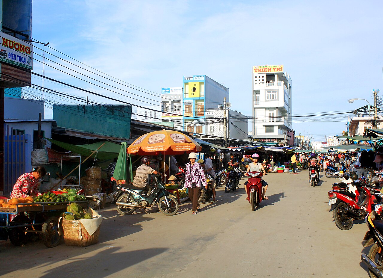
Ca Mau city has a domestic airport with regular connections to Hanoi and Ho Chi Minh City. By road, the journey from Ho Chi Minh City takes approximately five to six hours along the main highway through the delta; express coaches run this route. There is no rail connection.
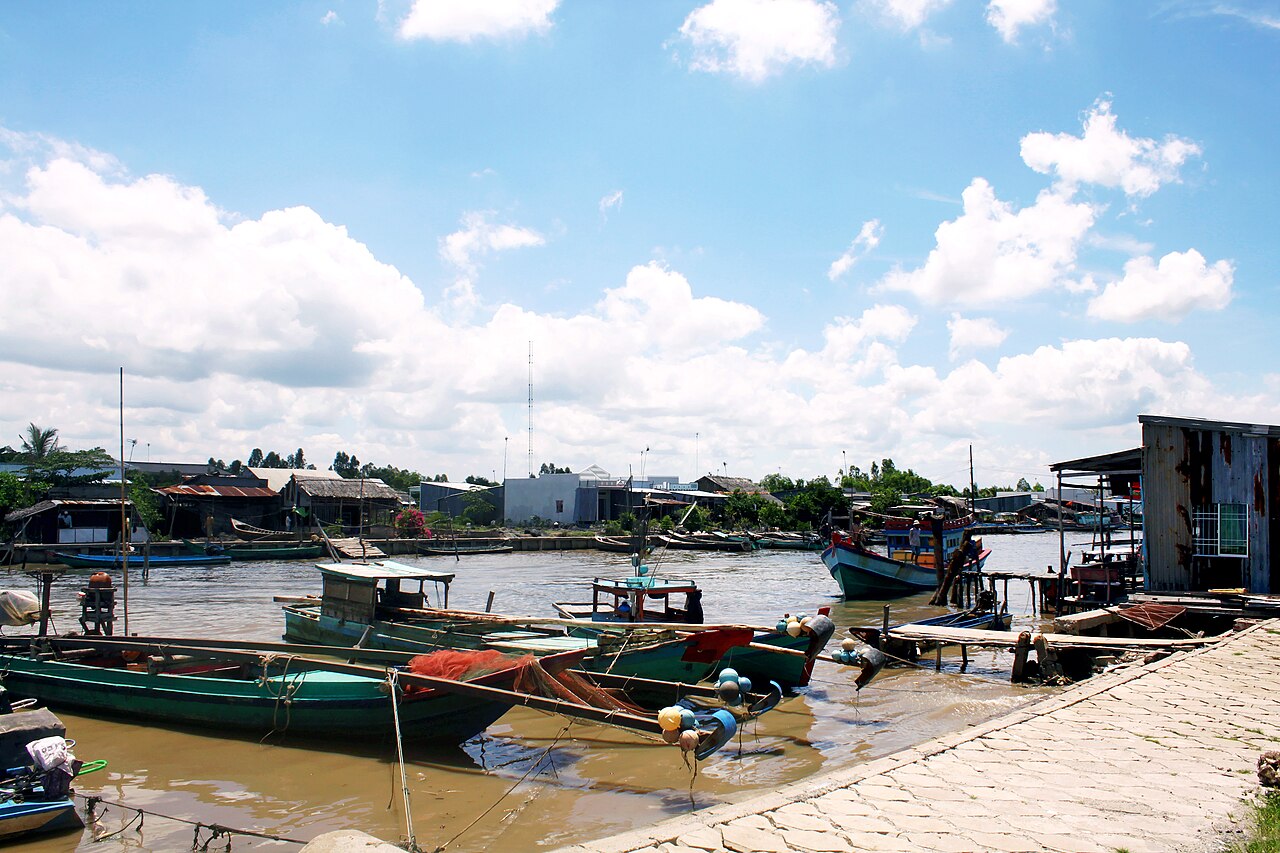
Within the province, travel is a combination of road and water. Many destinations — including Ca Mau Cape and the national parks — require boat transfers, either arranged through accommodation or via the local ferry piers in Ca Mau city and Năm Căn. Motorbike hire is common in Ca Mau city for road-based exploration. The road network in the former Bac Lieu area is generally better surfaced than the more remote southern sections of the province.
Nearby provincial centres include Can Tho to the north, the delta's main hub, and the Con Dao Islands lie offshore to the north-east, accessible by ferry or light aircraft from the mainland.
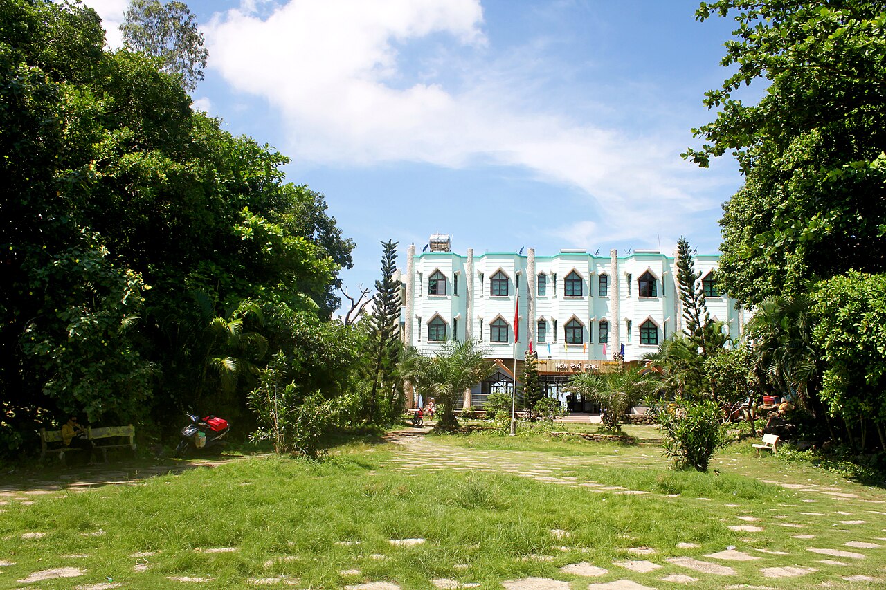
Climate and when to visit
Ca Mau has a pronounced two-season tropical climate. The dry season runs roughly from December through April: temperatures are at their highest in March and April, rainfall is low, and channels can drop to levels that limit some boat routes. This period is generally considered the most comfortable for visiting — see When to go: weather by region for broader context.
The wet season extends from May through November. Rainfall builds steadily from May, peaks between September and October when monthly totals are at their heaviest, and then eases through November into December. During this period the national parks flood, which is ecologically significant — U Minh Ha in particular is only accessible by boat during the flood — but travel logistics become more complicated, some roads are affected, and mosquito activity increases substantially.
Night-time temperatures remain warm year-round, rarely dropping below the low twenties Celsius. Tropical storms can affect the coast, particularly between August and November, and can disrupt boat services to Ca Mau Cape.
Food and local character
Ca Mau's cuisine is strongly shaped by its estuarine environment. Mud crabs (cua len) from the mangrove channels are among the most-cited local products, as are saltwater shrimp farmed extensively across the tidal flats. Black-pepper crab and braised fish with caramel sauce (cá kho tộ) are common preparations. The former Bac Lieu area is associated with freshwater fish and shrimp from the cajuput-forest wetlands.
The broader culinary context of the region is covered in Southern Vietnamese cuisine. Ca Mau sits within a Khmer-influenced belt of the delta, and traces of Khmer and Chinese culinary practice appear in local dishes and the ethnic composition of some communes.
Ca Mau city functions as a working provincial centre rather than a tourist hub, and most accommodation is geared towards domestic travellers and business visitors rather than international tourism. Bac Lieu town offers a small selection of mid-range hotels, some in restored colonial buildings. For practical matters including payments, consult Money, ATMs and cards.
What first-time visitors get wrong
Underestimating distances and boat logistics. Ca Mau Cape is not a short excursion from the city. The journey involves road travel to Năm Căn and then a boat transfer through mangrove channels that takes additional time. Rushing it in half a day leaves little margin if departures are delayed.
Assuming dry-season access everywhere. During the dry season, water levels in some channels drop significantly and certain routes into the national parks become impassable or require smaller, shallower vessels. Guides and local operators should be consulted before planning routes.
Conflating the two former provinces. The merger that created the current Ca Mau province has joined two places with distinct characters. Bac Lieu town, the former Bac Lieu province capital, is around 65 km north of Ca Mau city and has its own sights, cuisine and cultural associations. It is worth treating as a separate stop rather than assuming Ca Mau city covers everything.
Visa and entry assumptions. Vietnam's e-visa rules and exemptions change periodically. Check the current position at Vietnam e-visa before travel. For connectivity on arrival, see SIM cards and eSIMs.
Clima per mese
Medie di lungo periodo, non una previsione. Periodo di riferimento: 2015–2024. Fonte: ERA5 reanalysis (Copernicus) via the Open-Meteo archive API.
Show the numbers
| Mese | Massima °C | Min °C | Pioggia mm | Giorni di pioggia | Humidity % |
|---|---|---|---|---|---|
| January | 30.3 | 23.3 | 52 | 10 | 77 |
| February | 31.5 | 23.6 | 26 | 6 | 73 |
| March | 33.2 | 24.5 | 29 | 7 | 72 |
| April | 33.7 | 25.4 | 96 | 15 | 74 |
| May | 32.7 | 25.8 | 215 | 27 | 80 |
| June | 31.1 | 25.3 | 265 | 27 | 84 |
| July | 30.4 | 24.8 | 328 | 29 | 86 |
| August | 30.3 | 24.9 | 290 | 29 | 85 |
| September | 30.0 | 24.6 | 371 | 28 | 86 |
| October | 30.1 | 24.3 | 387 | 30 | 87 |
| November | 30.1 | 24.2 | 226 | 24 | 85 |
| December | 29.7 | 23.5 | 114 | 17 | 80 |
Places within Ca Mau
Where it is
Also known as / see also
Nelle vicinanze
Assorbito
Citato da
Fonti
- ERA5 climate normals — Copernicus / Open-Meteo (CC BY 4.0) consultato 30 August 2026
Supports: monthly temperature and rainfall normals, and elevation - Ca Mau (Q33354) — Wikidata (CC0 1.0) consultato 30 August 2026
Supports: coordinates, area, population - Ca Mau — Wikipedia (CC BY-SA 4.0) consultato 30 August 2026
Supports: background
Current Ultima verifica: 31 August 2026. Rules, fares and prices change — check the official source before acting on anything here. Report a mistake.
Picture credits (7)
Bệnh viện đa khoa Cà Mau, Hoangvantoanajc, CC BY-SA 3.0, Wikimedia Commons · Bộ xương cá voi, Bùi Thụy Đào Nguyên, CC BY-SA 3.0, Wikimedia Commons · Một góc chợ Năm Căn, Bùi Thụy Đào Nguyên, CC BY-SA 3.0, Wikimedia Commons · Một góc ấp Đá Bạc B, Bùi Thụy Đào Nguyên, CC BY-SA 3.0, Wikimedia Commons · Nhà hàng và khách sạn Hòn Đá Bạc, Bùi Thụy Đào Nguyên, CC BY-SA 3.0, Wikimedia Commons · Sunrise behind tree silhouette at Ca Mau Cape on March 22 2026, Nevillenguyen310, CC BY-SA 4.0, Wikimedia Commons · Cà Mau city center, [Tycho] talk , http://shansov.net, CC BY-SA 3.0, Wikimedia Commons