National Assembly Resolution 202/2025/QH15 on the rearrangement of provincial-level administrative units
Overview
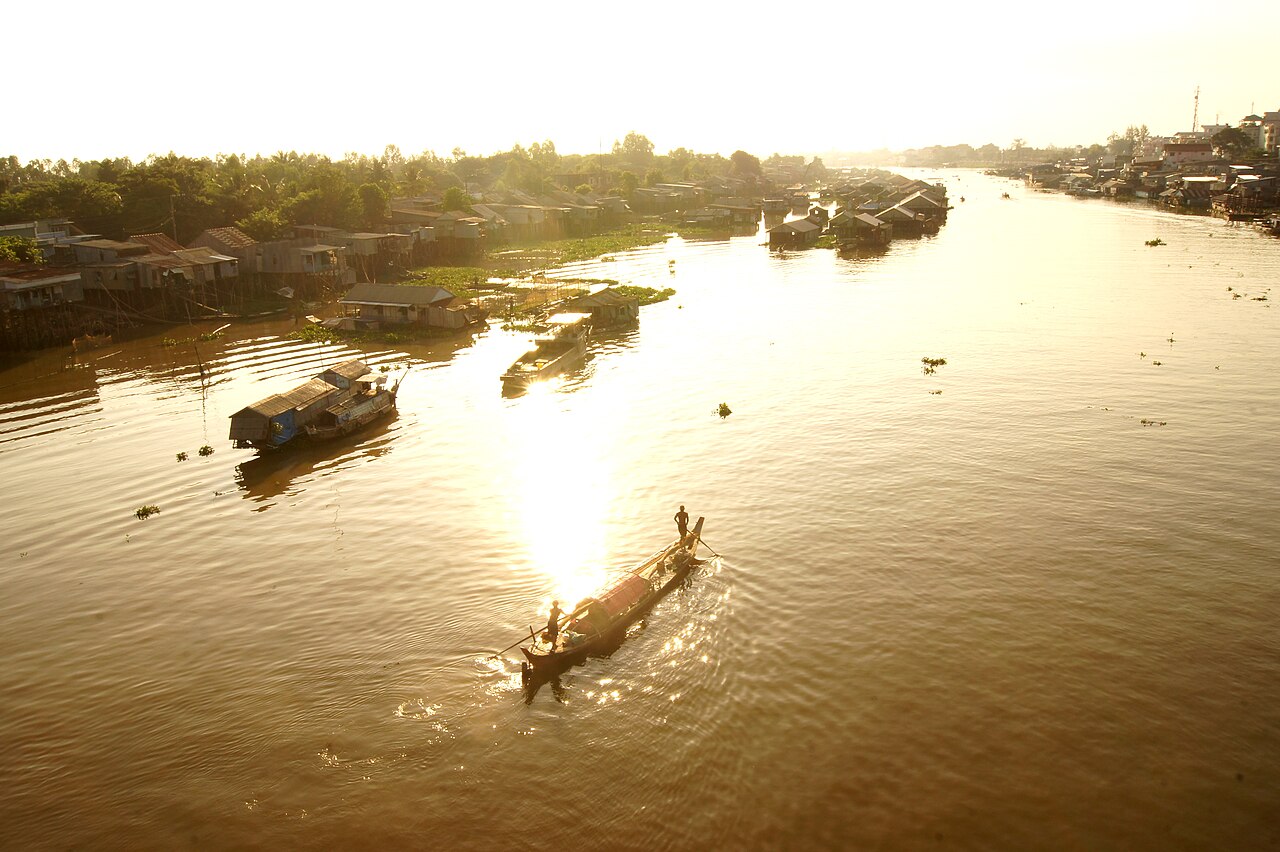
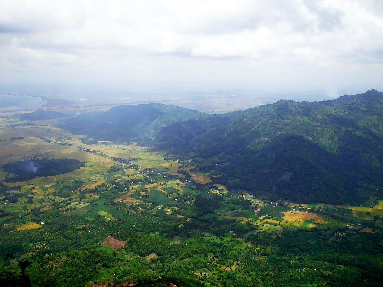
An Giang is a province in the Mekong Delta, occupying a stretch of lowland bisected by the Mekong's two main Vietnamese channels — the Tiền and Hậu rivers — as well as the Vĩnh Tế Canal, which runs along the Cambodian border. The landscape is predominantly flat agricultural land devoted to rice cultivation, with the Thất Sơn (Seven Mountains) range rising abruptly from the plains in the west — an unusual topographical feature in an otherwise near-level delta.
An Giang is one of Vietnam's most ethnically diverse provinces, with sizeable Khmer and Cham communities alongside the Kinh majority. The Cham are predominantly Muslim and maintain mosques and weaving traditions along the Hậu River; the Khmer maintain Theravada Buddhist pagodas, some of considerable age. This layering of cultures distinguishes the province from more homogeneous parts of the delta.
As of 1 July 2025, An Giang was reconstituted as a province under Vietnam's national administrative reorganisation, which merged 63 provincial-level units into 34 and abolished the district tier. The new An Giang was formed from the former An Giang and parts of Kiên Giang. Sources disagree on which settlement serves as the administrative centre under the new structure; this page will be updated when that is settled.
Landscape and flood season
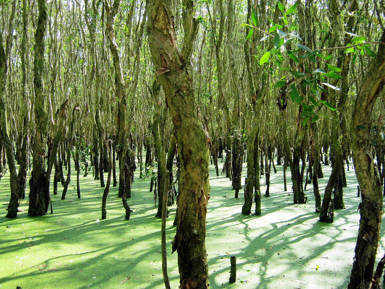
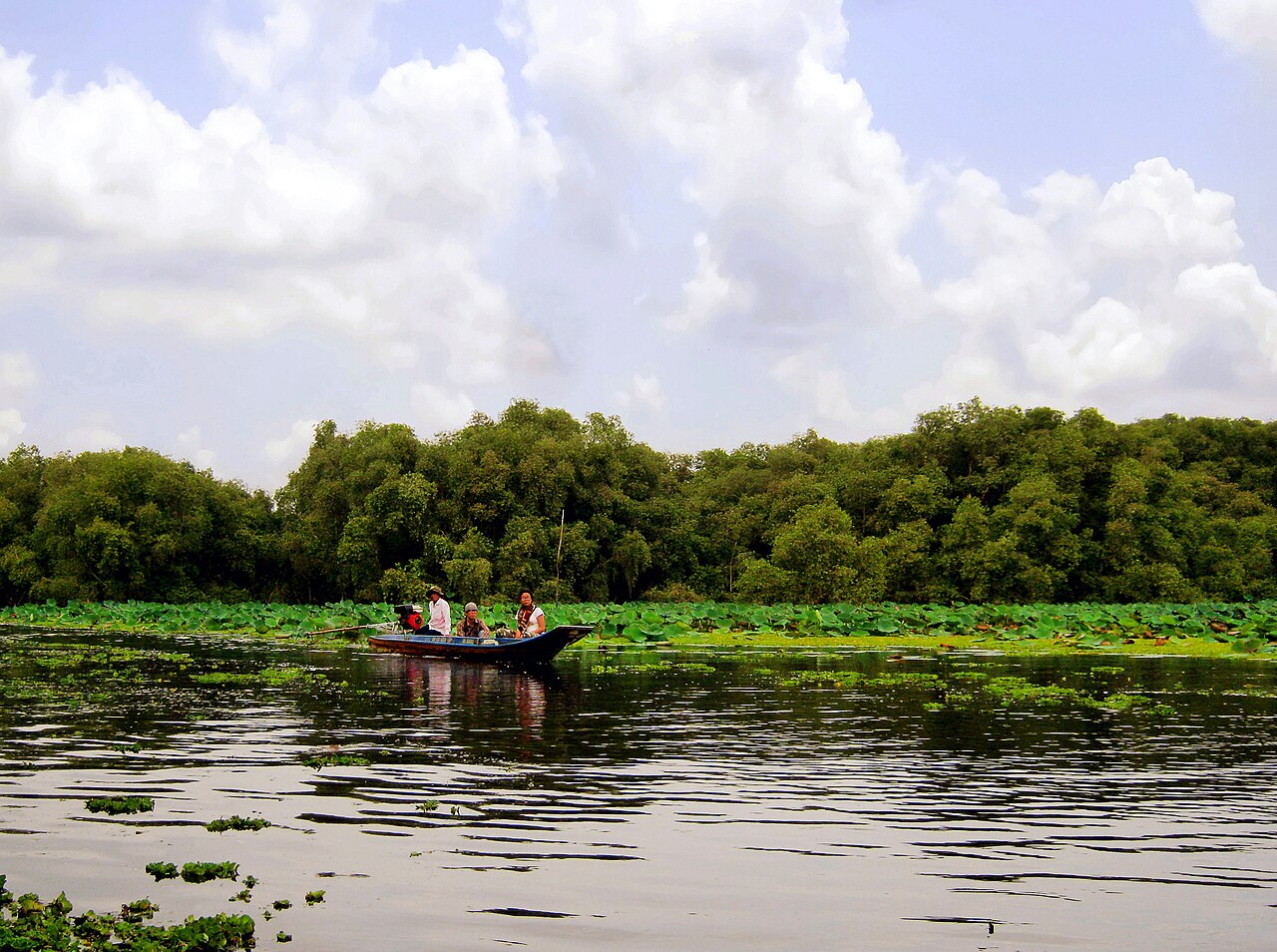
The defining natural event in An Giang is the annual Mekong flood, locally called mùa nước nổi — the season of rising water. From roughly August through November, river levels swell with monsoon runoff from upstream, inundating fields and low-lying land and transforming the province into an expanse of shallow water crossed by boat and raised road. This is not a disaster in the local context but a managed agricultural cycle: the flood deposits silt, flushes rice paddies, and brings large catches of fish.
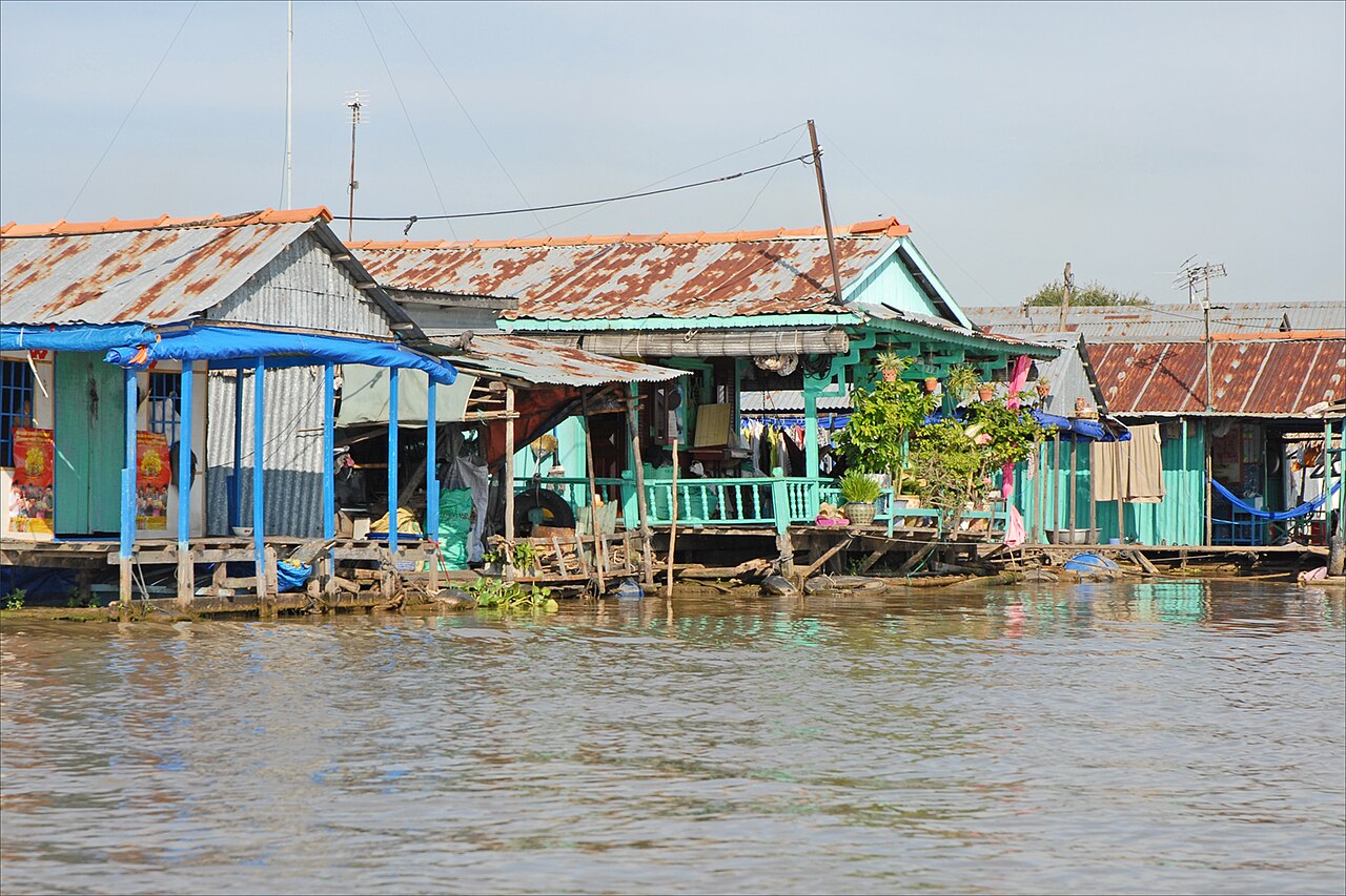
During peak flood, communities in low-lying communes shift daily routines to the water. Floating markets, fish traps strung between submerged trees, and children paddling to school are characteristic of this period. Long Xuyên and Châu Đốc both sit on elevated ground and remain accessible throughout.
Outside the flood season, the plain returns to cultivated fields — often producing two or three rice crops per year — and to orchards of longan, mango and durian in areas with sufficient drainage.
Climate and when to visit
An Giang has a tropical monsoon climate with a pronounced wet season and a shorter, drier cool season. Temperatures are warm year-round; the hottest months are March and April before the rains arrive, when afternoon heat is at its most intense. From May onward, rainfall increases sharply, peaking in September and October, when monthly totals are at their highest and the flood plain is at its fullest. The period from November through February is the driest and slightly cooler, with January and February seeing relatively little rain and more manageable humidity.
For general travel, the dry season (November to April) offers easier road conditions and more comfortable walking temperatures. The flood season (August to November) offers a distinct landscape and cultural experience but requires flexibility with transport, as some rural roads become impassable by vehicle. The pilgrimage season at Núi Sam (Sam Mountain) peaks around the Vía Bà Chúa Xứ festival, which falls on the 23rd to 27th of the fourth lunar month — usually in May or early June.
See When to go: weather by region for a broader comparison across Vietnam.
Key places and things to see
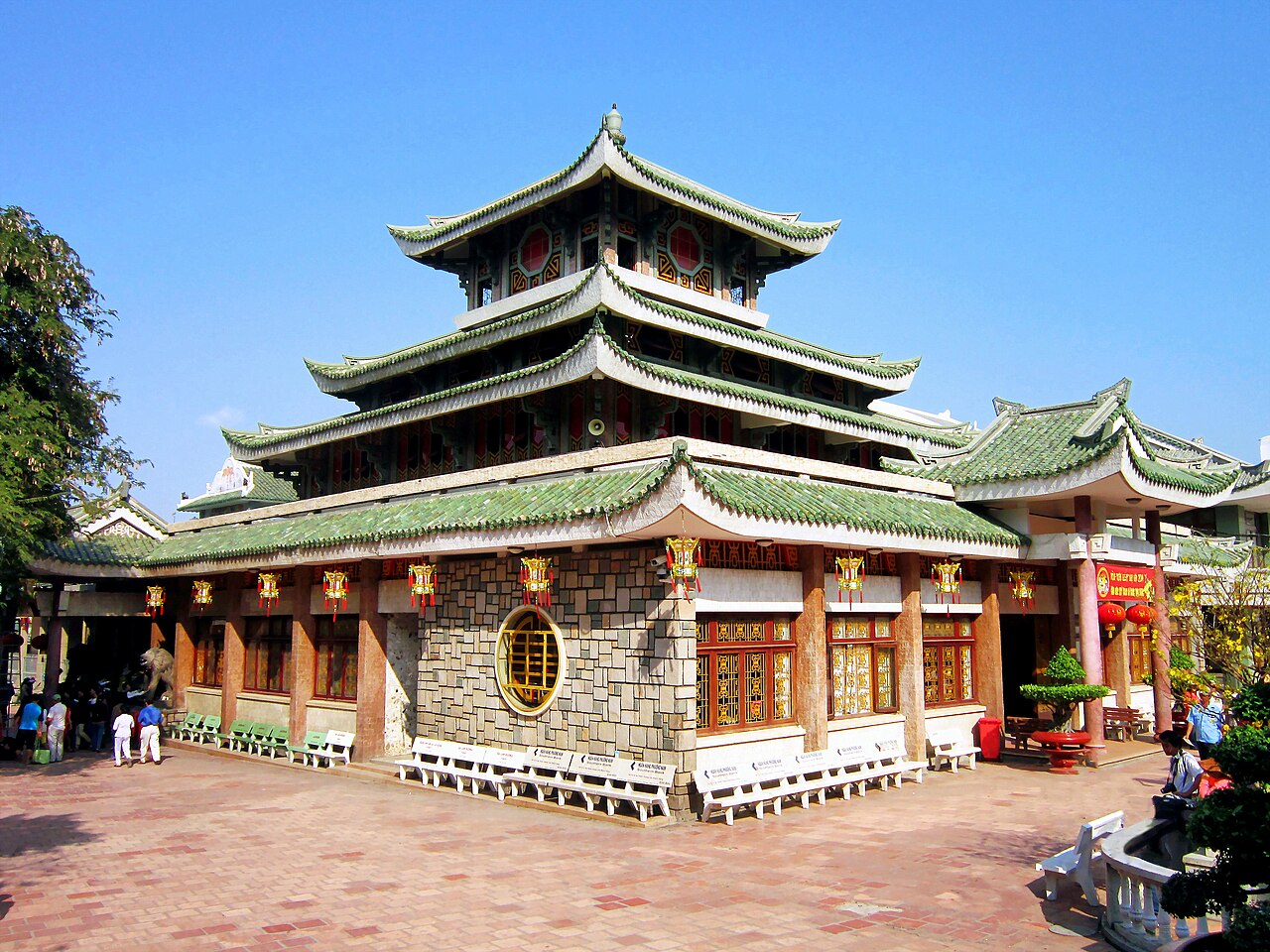
Châu Đốc is the most visited town in the province, situated where the Hậu River approaches the Cambodian border. Châu Đốc is a river port, a crossing point into Cambodia, and a pilgrimage centre. Núi Sam (Sam Mountain), a few kilometres from the town centre, holds the Bà Chúa Xứ Temple — one of the most visited religious sites in southern Vietnam — as well as Tây An Pagoda and a military cemetery.
Long Xuyên is a river city with a functioning wholesale market, a Catholic cathedral built in the 1970s, and the Tôn Đức Thắng Museum, dedicated to the former president who was born in the province.
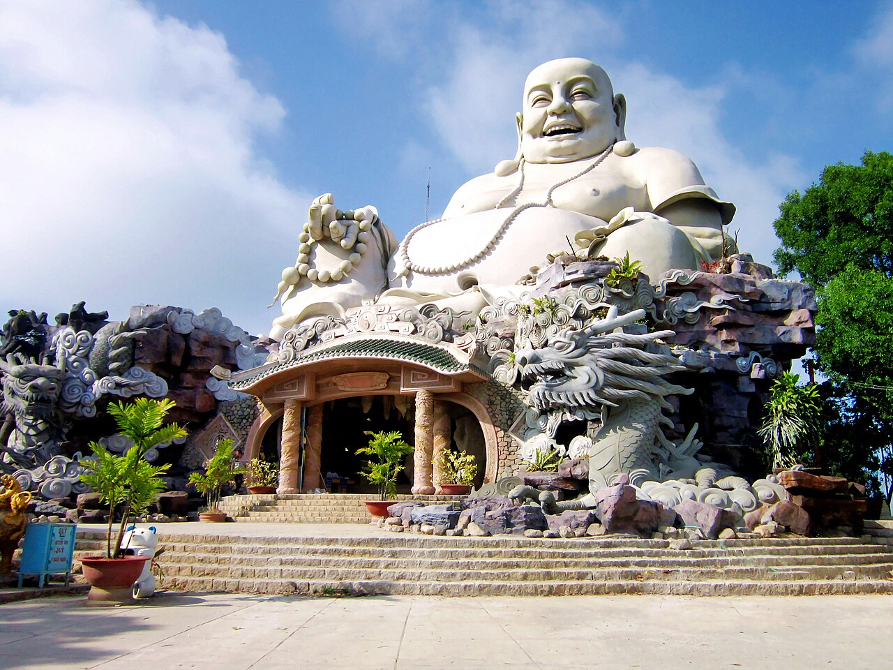
Thất Sơn (Seven Mountains): This cluster of hills in the western part of the province — including Núi Cấm, the highest point — contains pagodas, meditation retreats, and trails through forested slopes. Núi Cấm has a cable car as well as walking paths.
Cham villages along the Hậu River, particularly around Châu Phong, offer visits to mosques and traditional silk-weaving workshops. Arrangements are typically made through local boat operators.
Nearby Tràm Chim National Park in Đồng Tháp is accessible as a day excursion for those interested in wetland birdlife, including the sarus crane.
Getting there and getting around
Long Xuyên and Châu Đốc are the two main hubs for arrivals. Both are reachable by road from Cần Thơ, which is itself linked to Ho Chi Minh City by expressway. Bus services connect the province with Ho Chi Minh City, Cần Thơ, and other delta towns; journey times vary with traffic and road conditions. There is no passenger rail service in An Giang.
Châu Đốc is an official land border crossing into Cambodia at Vĩnh Xương and Khánh Bình, with boat services on the Mekong to Phnom Penh operating from the town's riverside. This makes Châu Đốc a practical entry or exit point for overland travellers between Vietnam and Cambodia. Check current border status independently before planning crossings, as operating conditions change.
Within the province, motorbike hire is the most flexible option for reaching villages, river banks and the Thất Sơn hills. During flood season, boat hire supplements road transport in inundated areas. Xe ôm (motorbike taxi) and ride-hailing apps operate in Long Xuyên and Châu Đốc.
See Vietnam e-visa for entry requirements and SIM cards and eSIMs for connectivity on arrival.
Food
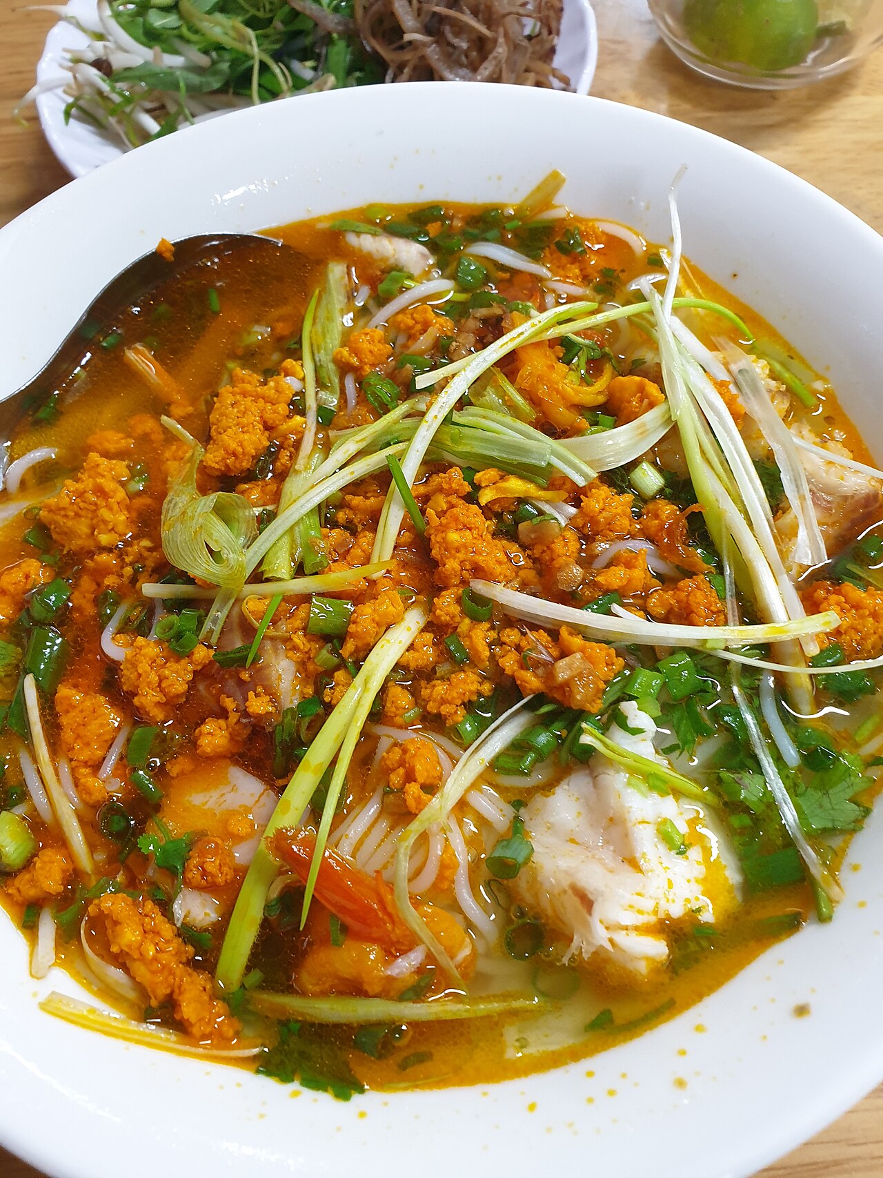
An Giang's food reflects its riverine geography and ethnic mix. Bún cá (rice vermicelli with fish, often snakehead) is a staple breakfast dish. Mắm — fermented fish paste — is produced in quantity around Châu Đốc and is a base ingredient in lẩu mắm, a hotpot built on a mắm broth and filled with fish, pork, and seasonal vegetables including water lily stems and banana blossom. This dish is closely associated with the province and the delta more broadly.
The Cham community produces a distinct set of dishes influenced by halal dietary practice, including tung lò mò, a beef sausage sold grilled at roadside stalls around Châu Phong. Khmer-influenced sweets made with coconut milk and palm sugar are found around the Thất Sơn area.
Fish from the Mekong — catfish, snakehead, elephant ear fish (cá tai tượng) — appear in most local meals, often steamed, grilled, or incorporated into soups. Cá tai tượng chiên xù (crispy-fried elephant ear fish, served whole and standing upright) is a local restaurant speciality.
See Southern Vietnamese cuisine for broader context.
Common misunderstandings
Administrative changes do not move places. The 2025 reorganisation changed which administrative units govern An Giang and merged province boundaries, but Long Xuyên, Châu Đốc, Núi Sam and the Thất Sơn hills have not moved or been renamed. Maps and older guidebooks may show boundary lines that no longer correspond to current administrative reality, but the geography and the place names remain.
The flood season is a feature, not a problem. Travellers arriving in September or October expecting the same landscape as February will find the province transformed — fields under water, roads narrowed, some rural areas only accessible by boat. This is not an emergency but a seasonal condition. Accommodation in Long Xuyên and Châu Đốc is unaffected.
The border crossing at Châu Đốc requires preparation. Entry and exit requirements, boat schedules, and visa-on-arrival rules for Cambodia change periodically. Relying on information more than a few months old is inadvisable. See Vietnam e-visa for the Vietnamese side of any crossing.
Prices at Núi Sam fluctuate sharply. During the Vía Bà Chúa Xứ festival, the area around Sam Mountain receives very large numbers of pilgrims. Accommodation and transport prices vary by season; see Money, ATMs and cards for general guidance, and Safety and common scams for awareness of common tourist-area practices.
月別気候
長期平均値であり、予報ではありません。 参照期間: 2015–2024. 出典: ERA5 reanalysis (Copernicus) via the Open-Meteo archive API.
Show the numbers
| 月 | 最高気温 °C | 最低気温 °C | 降水量(mm) | 雨天日数 | Humidity % |
|---|---|---|---|---|---|
| January | 30.8 | 22.4 | 37 | 7 | 73 |
| February | 32.3 | 22.4 | 17 | 3 | 68 |
| March | 34.1 | 24.0 | 29 | 5 | 66 |
| April | 34.3 | 25.1 | 101 | 14 | 72 |
| May | 32.7 | 25.7 | 201 | 24 | 81 |
| June | 30.9 | 25.3 | 217 | 26 | 85 |
| July | 30.6 | 25.0 | 238 | 27 | 84 |
| August | 30.9 | 25.1 | 228 | 28 | 83 |
| September | 30.6 | 24.6 | 303 | 28 | 85 |
| October | 30.7 | 24.0 | 346 | 28 | 86 |
| November | 30.9 | 23.7 | 183 | 21 | 82 |
| December | 30.5 | 22.9 | 76 | 11 | 75 |
Places within An Giang
 Destination
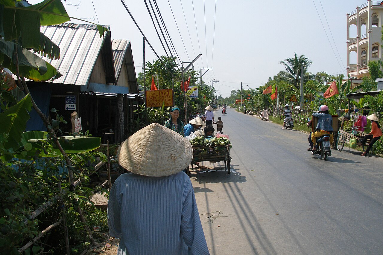
Chau Doc
Mekong Delta border town known for floating fish farms, Cham villages, Sam Mountain, and…
 Island
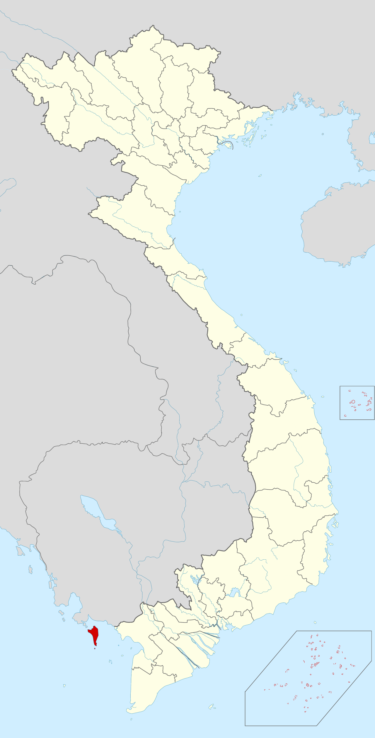
Phu Quoc
Vietnam's largest island, known for beaches, a cable car to Hon Thom, dense national park…
 City
City
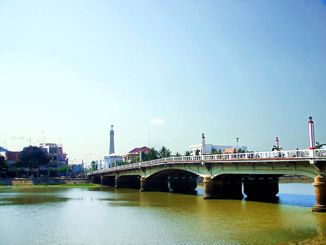
Long Xuyên
Riverside Mekong Delta city, former provincial capital of An Giang, known for its Hòa Hảo…
Pictures of An Giang
Where it is
Also known as / see also
近隣
統合済み
参照元
出典
- ERA5 climate normals — Copernicus / Open-Meteo (CC BY 4.0) アクセス日 30 August 2026
Supports: monthly temperature and rainfall normals, and elevation - An Giang (Q36592) — Wikidata (CC0 1.0) アクセス日 30 August 2026
Supports: coordinates, area, population - An Giang — Wikipedia (CC BY-SA 4.0) アクセス日 30 August 2026
Supports: background
Current 最終確認: 31 August 2026. Rules, fares and prices change — check the official source before acting on anything here. Report a mistake.
Picture credits (13)
Làng bè Châu Đốc, Hoangvantoanajc, CC BY-SA 3.0, Wikimedia Commons · Núi ở An Giang, Bùi Thụy Đào Nguyên, CC BY-SA 3.0, Wikimedia Commons · Rừng tràm Trà Sư, Bùi Thụy Đào Nguyên, CC BY-SA 3.0, Wikimedia Commons · Tham quan Trà Sư, Bùi Thụy Đào Nguyên, CC BY-SA 3.0, Wikimedia Commons · Miếu Bà Chúa Xứ Núi Sam, Bùi Thụy Đào Nguyên, CC BY-SA 3.0, Wikimedia Commons · Le village flottant (Chau Doc, Vietnam) (6620578201), Jean-Pierre Dalbéra from Paris, France, CC BY 2.0, Wikimedia Commons · Bún cá Kiên Giang, quán Cô Ba, 20201123, Phương Huy, CC BY-SA 4.0, Wikimedia Commons · Tượng Di Lặc trên núi Cấm, Bùi Thụy Đào Nguyên, CC BY-SA 3.0, Wikimedia Commons · Đền thờ CT Tôn Đức Thắng, Bùi Thụy Đào Nguyên, CC BY-SA 3.0, Wikimedia Commons · Nhà mồ Ba Chúc, Bùi Thụy Đào Nguyên, CC BY-SA 4.0, Wikimedia Commons · Vietnam, Chau Doc, Life on the streets, Vyacheslav Argenberg, CC BY 4.0, Wikimedia Commons · Phu Quoc in Vietnam, Vietic2, CC0, Wikimedia Commons · Cầu Hoàng Diệu, Bùi Thụy Đào Nguyên, Public domain, Wikimedia Commons