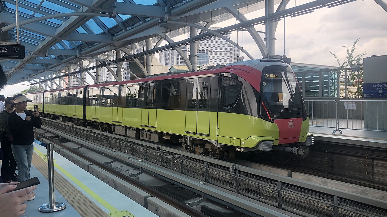
Hanoi metroĐường sắt đô thị Hà Nội
The Hanoi metro (Đường sắt đô thị Hà Nội) is a developing urban rail network in Hanoi. As of mid-2025 two lines are in passenger service. The network is designed to expand, but current coverage leaves large parts of the city, including most of the Old Quarter, without a nearby station.
Typical journey times
| Journey | Typical time | How often | Notes |
|---|---|---|---|
| Metro Cat Linh → Ha Dong | about 23 min | Every few minutes | Line 2A, end to end, 12 stations. |
| Metro Nhon → Cau Giay | about 16 min | Every few minutes | Line 3, the elevated section in service. |
Typical door-to-door ranges, not a timetable. Road times move with traffic and weather, and sea crossings are cancelled outright in rough conditions — confirm with the operator on the day. Last reviewed: 2026-09-10.
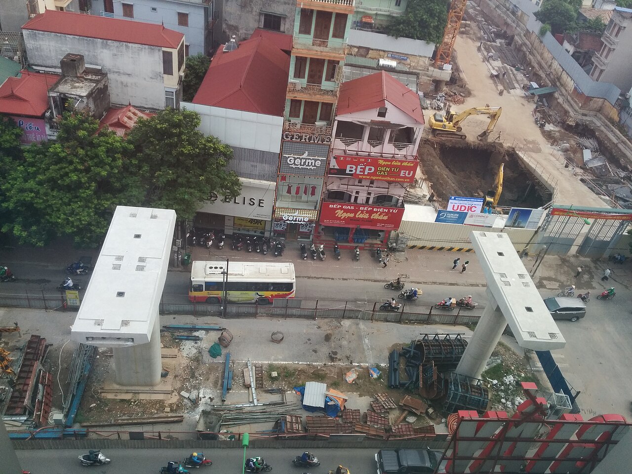
Line 2A: Cat Linh – Ha Dong
Line 2A runs elevated for its entire length, connecting Cat Linh station in the inner city with Yen Nghia terminal in the Ha Dong area to the south-west. The line has 13 stations and follows the corridor of Nguyen Trai street, passing through densely populated residential and commercial districts. It opened to the public in November 2021 after a prolonged construction period. For visitors, its most practical use is reaching the Ha Dong textile market area or travelling between the inner city and the south-western suburbs. The nearest station to the Old Quarter is Cat Linh, which still requires a walk or short ride to reach the historic core.
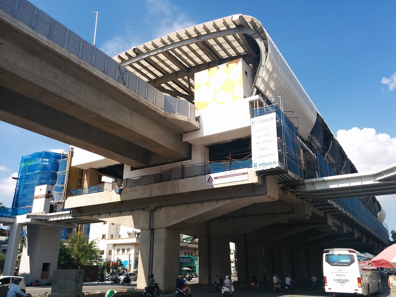
Line 3: Nhon – Hanoi Station
Line 3 runs from Nhon in the north-west toward Hanoi railway station in the inner city. The outer section, from Nhon to Cau Giay, operates on an elevated viaduct and opened in stages from 2024. The inner urban section, which runs underground and would connect to Hanoi railway station, was still subject to construction and commissioning work as of 2025; whether and when it is fully open is a question that should be checked against current sources before travel. The elevated section passes through residential and university districts and is useful for those staying in the Cau Giay area or travelling toward the western suburbs.
Fares and tickets
Both lines charge a fare based on distance. Single-journey tickets are available at station vending machines and ticket windows. A stored-value card is also available and is the more convenient option for multiple journeys. There is an entry fee on each trip; the exact amount depends on the distance travelled. Whether a monthly or multi-trip pass covers both lines, and the interoperability arrangements between the two, are details worth confirming at the station, as ticketing policy has been subject to adjustment. Children under a certain height travel free; the threshold is posted at stations.
Hours and frequency
Both lines operate from early morning until late evening, though the exact first and last service times should be verified locally as they are subject to change. Trains run frequently during morning and evening peak hours and at longer intervals in the middle of the day and at night. Carriages are air-conditioned and generally uncrowded outside peak commuter hours. Platforms have screen doors, and staff are present at major stations.
Practical use for visitors
The metro is clean, reliable and significantly less exposed to Hanoi's road traffic than taxis or buses. However, its practical value for a visitor depends heavily on where they are staying and what they intend to do. The Old Quarter, the Hoan Kiem area and most of the central lakeside districts are not directly served; getting to a station from those areas requires a walk of some distance or an additional vehicle. The lines are most useful for reaching Ha Dong, the Cau Giay commercial district, or the National University area. Travellers using Hanoi primarily as a base for sightseeing in the historic centre are likely to find the metro supplementary rather than central to their movement.
Network expansion
Hanoi has published plans for additional metro lines that would extend coverage to the airport, the northern bank of the Red River and other districts. Construction timelines for these extensions have shifted repeatedly, and the status of individual projects changes by government decree. Whether any additional sections are open at the time of travel is a question that cannot be answered in advance with confidence; the official Hanoi Metropolitan Railway Management Board is the authoritative source.
Also known as / see also
제공 지역
참조 페이지
출처 목록
- Ministry of Transport — Ministry of Transport of Vietnam 접근됨 29 August 2026
Supports: carried over from the first build - Vietnam National Authority of Tourism — VNAT 접근됨 29 August 2026
Supports: carried over from the first build - Đường sắt đô thị Hà Nội — Wikipedia (Vietnamese) (CC BY-SA 4.0) 접근됨 29 August 2026
Supports: carried over from the first build
Current 마지막 확인: 29 August 2026. Rules, fares and prices change — check the official source before acting on anything here. Report a mistake.
Picture credits (3)
Alstom Metropolis rolling stock in Hanoi, TheNetheriteGuy, CC0, Wikimedia Commons · Hanoi Metro pillar construction, and building construction, Amenoc, CC0, Wikimedia Commons · Hanoi Metro station, Amenoc, CC0, Wikimedia Commons