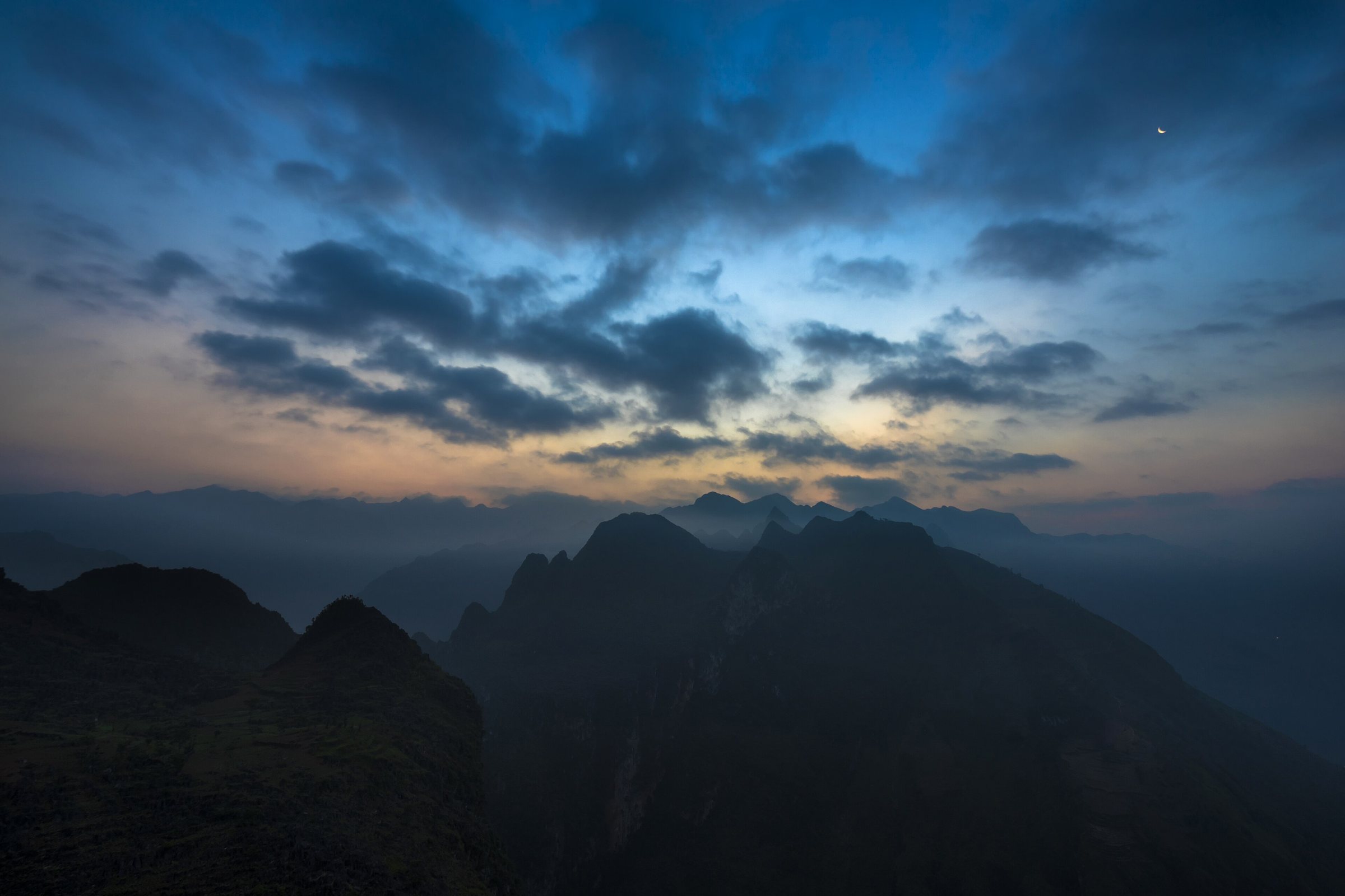
Ma Pi Leng PassĐèo Mã Pí Lèng
What Ma Pi Leng Pass is
Ma Pi Leng Pass (Đèo Mã Pí Lèng) sits at roughly 1,600 metres above sea level on Provincial Road 4C in what is now Ha Giang province. The name is Hmong in origin and is commonly translated as something close to "horse's nostril", referring to the effort a horse must make to breathe at such altitude — though local interpretations differ. The pass forms the centrepiece of the Ha Giang Loop, the roughly 350-kilometre circuit that draws most visitors to this corner of Vietnam. Below the road, the Nho Que river runs through a gorge of extraordinary depth, its water taking on a turquoise-green colour that contrasts sharply with the grey limestone walls. The river marks, in part, the boundary between Vietnam and China, though the border itself is not open to foreign travellers at this location.
The Happiness Road
The road across Ma Pi Leng Pass is a section of what Vietnamese historians call Con Duong Hanh Phuc — the Happiness Road. Construction began in 1959 and was completed in 1965, carried out almost entirely by hand by around 1,300 young volunteers, predominantly ethnic minority youth from Ha Giang and surrounding areas. Workers were suspended on ropes over the cliff face to drill and blast through limestone; the conditions produced a significant number of casualties, though exact figures are not universally agreed upon in historical sources. The Ma Pi Leng section, roughly 20 kilometres long, was considered the most technically demanding part of the entire road. Before its completion, the communities of the Dong Van Karst Plateau — now designated a UNESCO Global Geopark — were accessible only by foot or horseback along steep mountain paths. A small memorial and information display near the summit acknowledges the road's construction history.
Viewpoints along the pass
The most frequented stopping point is a concrete viewing platform positioned on the cliff edge roughly at the pass summit, overlooking the gorge and the river far below. A café operates at this location, though hours and continuity of service vary by season. The platform can become crowded during peak months — roughly October to November and around Vietnamese public holidays — as it is a standard stop on guided motorbike tours of the Ha Giang Loop. Several pull-in points exist along the descent toward Meo Vac, each offering different angles across the gorge and toward the jagged karst ridgelines that extend into China. Photographers generally favour early morning light, when mist sits in the gorge below, though cloud cover is common throughout the year and clear views are not guaranteed on any given day.
The Nho Que river boat trip
From the small town of Meo Vac, reached after descending from the pass, boat operators offer trips along the Nho Que river into the base of the gorge. The route typically runs between a landing point accessible by road and a turnaround point deeper inside the canyon, where the limestone walls rise several hundred metres on either side. The trip provides a view back up toward the road that is impossible to appreciate from above. Boat availability depends on water levels, which vary seasonally; the river can run high and fast during and immediately after the summer monsoon. This is a commercially operated service and the number of operators and their safety standards have been a matter of ongoing local regulation — conditions at the time of any visit should be assessed on the ground.
Road conditions and weather
The road surface across Ma Pi Leng has been resurfaced in sections multiple times since the 2010s and is generally paved, but rockfalls and landslides occur, particularly during and after heavy rain. The Vietnamese rainy season in this region runs roughly from May to September, during which sections of the Ha Giang Loop — including approaches to the pass — can be closed without warning. Fog is common at pass elevation throughout the year and can reduce visibility to a few metres. The road is narrow, with sections where two vehicles cannot pass simultaneously; motorbikes, trucks carrying goods toward the plateau, and tourist vehicles all share the same carriageway. Road markings are minimal and barriers are absent across significant stretches of the cliff-edge sections.
Safety
Ma Pi Leng Pass has been the site of serious accidents involving both Vietnamese travellers and foreign visitors. The combination of narrow roads, sheer drops, variable road surfaces, and inexperienced riders on rented semi-automatic motorbikes creates persistent risk. The pass is not a route to treat as straightforward: riding experience, mechanical familiarity with the vehicle, and sober judgment about weather and fatigue are all relevant factors. Some travellers complete the loop as a passenger on a locally hired motorbike taxi — known colloquially as an Easy Rider service, though this term is used loosely across Vietnam — which places the riding responsibility with an experienced local driver. This option is commercially available in Ha Giang city. Travel insurance that explicitly covers motorbike riding is a separate practical matter that prospective visitors should address before arriving in Vietnam.
Where it is
Also known as / see also
参照元
出典
- Vietnam National Authority of Tourism — VNAT アクセス日 29 August 2026
Supports: the rules and definitions on this page - Mã Pí Lèng Pass — Wikipedia (CC BY-SA 4.0) アクセス日 3 September 2026
Supports: background - Đèo Mã Pí Lèng — Wikipedia (Vietnamese) (CC BY-SA 4.0) アクセス日 3 September 2026
Supports: background, Vietnamese edition
Current 最終確認: 3 September 2026. Rules, fares and prices change — check the official source before acting on anything here. Report a mistake.
Picture credits (1)
Mã Pí Lèng Pass, Vietnam, Hoach Le Dinh, CC0, Wikimedia Commons