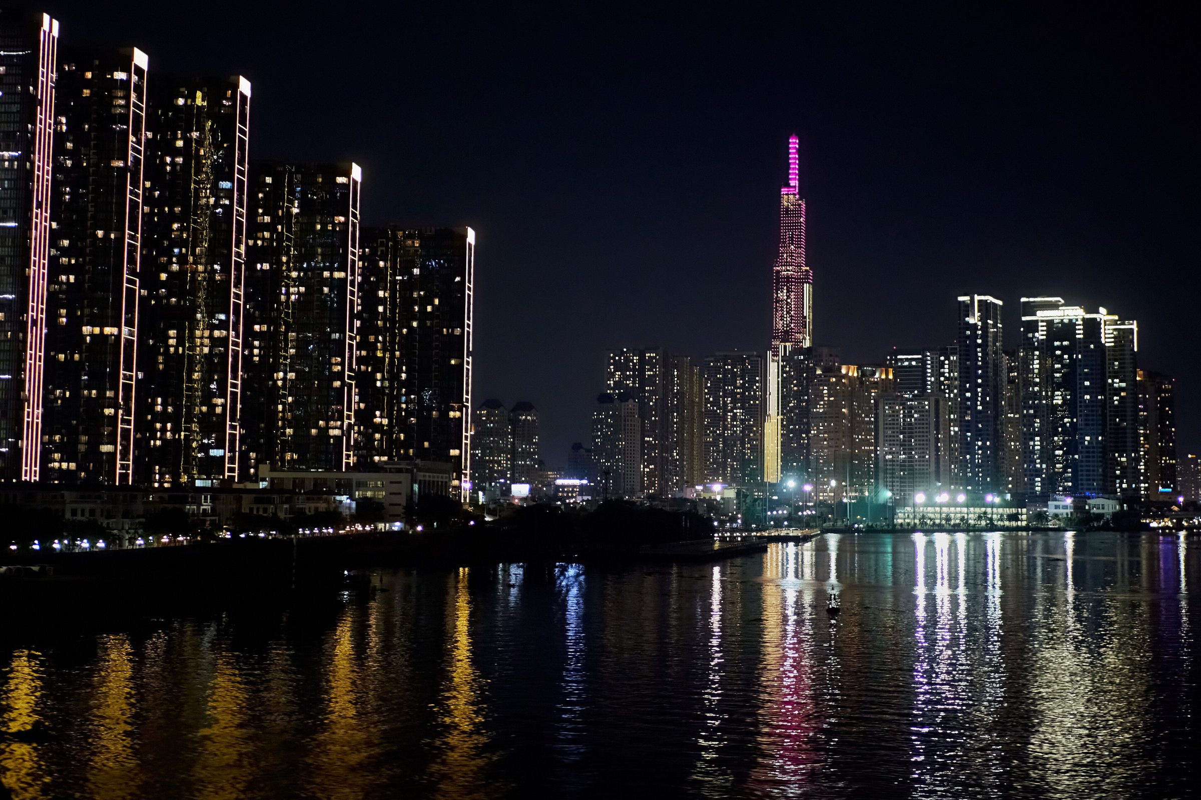
SoutheastĐông Nam Bộ
Vietnam's industrial and commercial heartland, centred on Ho Chi Minh City, with war history, national parks and river landscapes.
What the Region Is
The Southeast (Đông Nam Bộ) occupies the southern portion of mainland Vietnam above the Mekong Delta. It is the country's most densely populated and economically productive region, generating a disproportionate share of national GDP through manufacturing, finance, logistics and export-oriented industry. Ho Chi Minh City — still widely known as Saigon — functions as the region's dominant urban centre and Vietnam's commercial capital. Surrounding provinces include Bình Dương, Đồng Nai, Bà Rịa–Vũng Tàu, Bình Phước and Tây Ninh, each with its own character: Bình Dương and Đồng Nai are heavily industrialised; Bà Rịa–Vũng Tàu hosts offshore oil infrastructure and coastal resorts; Bình Phước and Tây Ninh border Cambodia and retain significant areas of forest and agricultural land. The region is not a single administrative unit but a recognised geographical and planning zone.
Landscape and Terrain
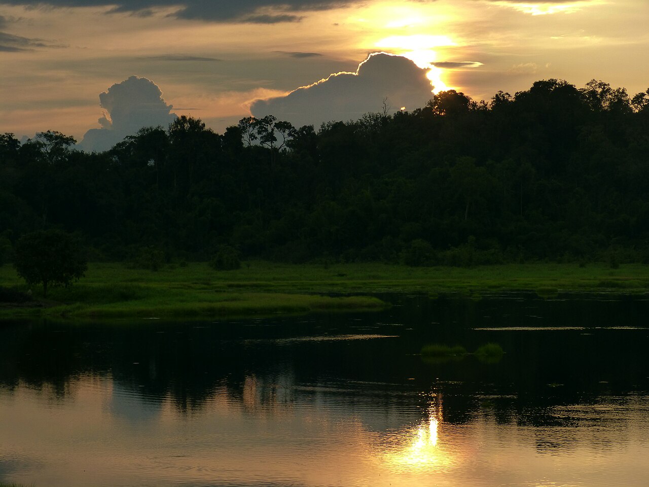
Unlike the dramatic karst mountains of northern Vietnam, the Southeast is largely low-lying and flat to gently rolling. The terrain rises modestly toward the Central Highlands in the north of the region, reaching foothills in Bình Phước. The Đồng Nai River and its tributaries drain much of the area, forming the basis for Hồ Trị An reservoir — one of Vietnam's largest — and Cát Tiên National Park. To the south, the land flattens into coastal plains and the river mouths of the Mekong system. The coast along Bà Rịa–Vũng Tàu province offers sandy beaches and the offshore islands of Côn Đảo, a former penal colony now administered as a national park. Rubber, cashew and pepper plantations cover large areas of agricultural land, particularly in Bình Phước and Đồng Nai.
Climate and When to Go
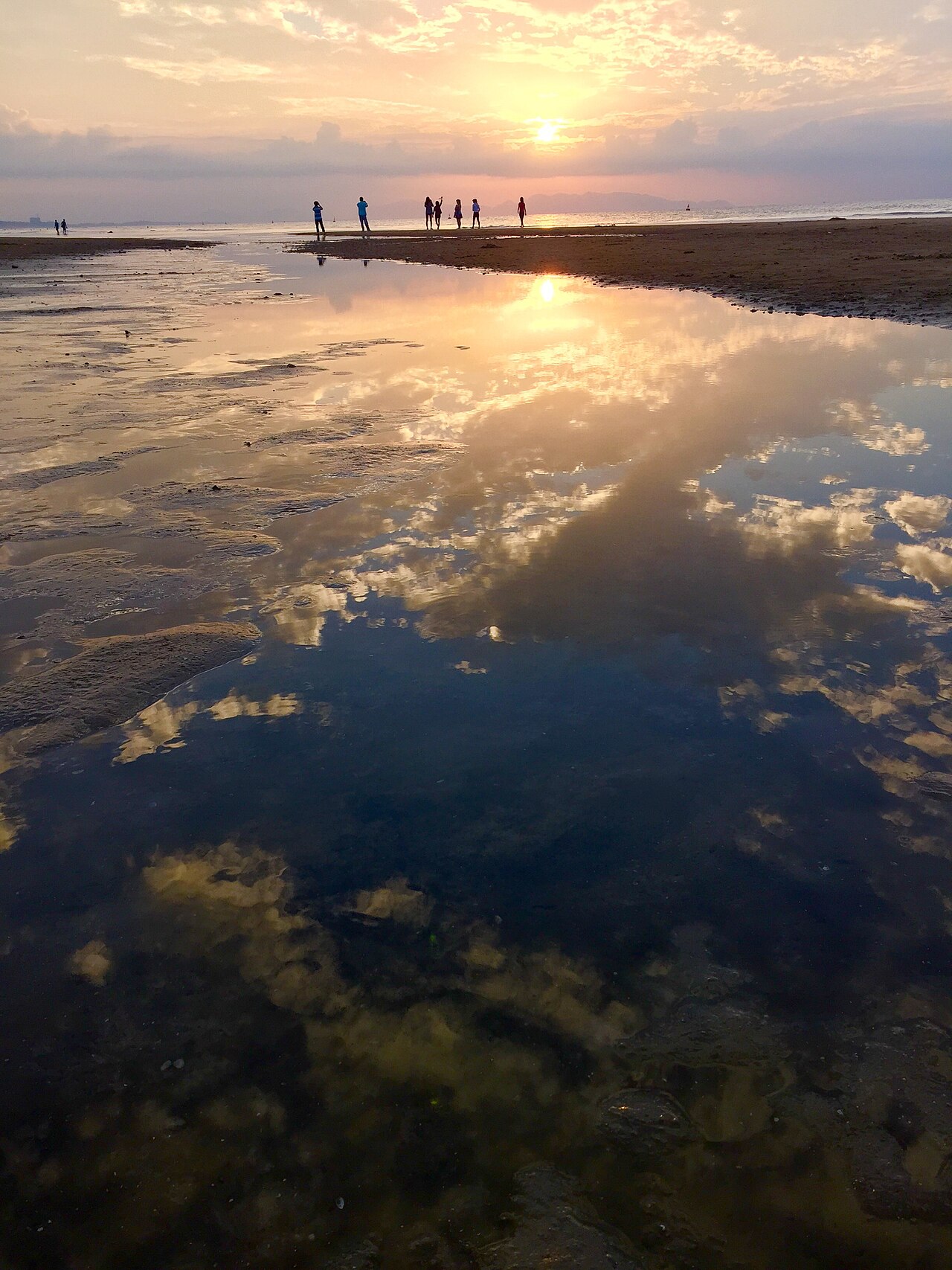
The Southeast has a tropical monsoon climate with two distinct seasons. The dry season runs roughly from November to April, bringing reliably sunny weather and lower humidity; this is generally the most comfortable period for outdoor activities and coastal visits. The wet season, from May to October, brings heavy afternoon rains that can cause urban flooding in Ho Chi Minh City and make unpaved rural roads difficult. Temperatures remain high year-round, rarely dropping below 20 °C even at night. Côn Đảo island is best visited during the dry season, as seas become rough and ferry services are more frequently cancelled during the monsoon months. The region does not experience the typhoons that affect central and northern Vietnam with regularity, though tropical depressions occasionally bring sustained rain.
Key Places and What They Offer
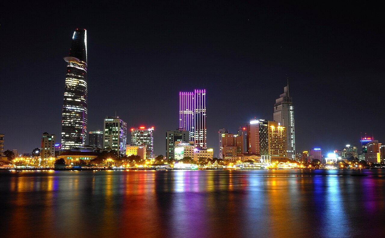
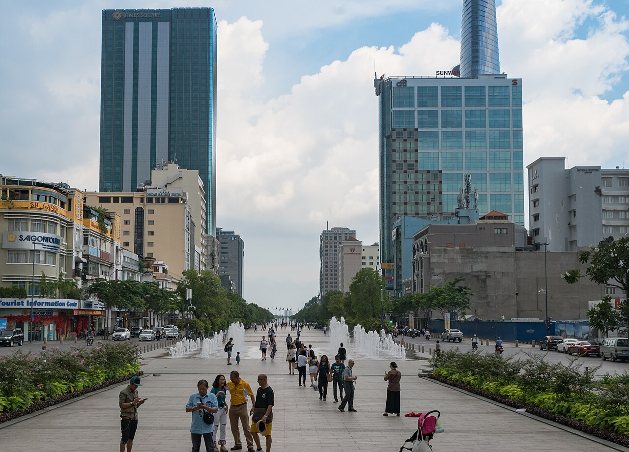
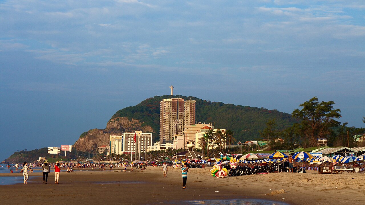
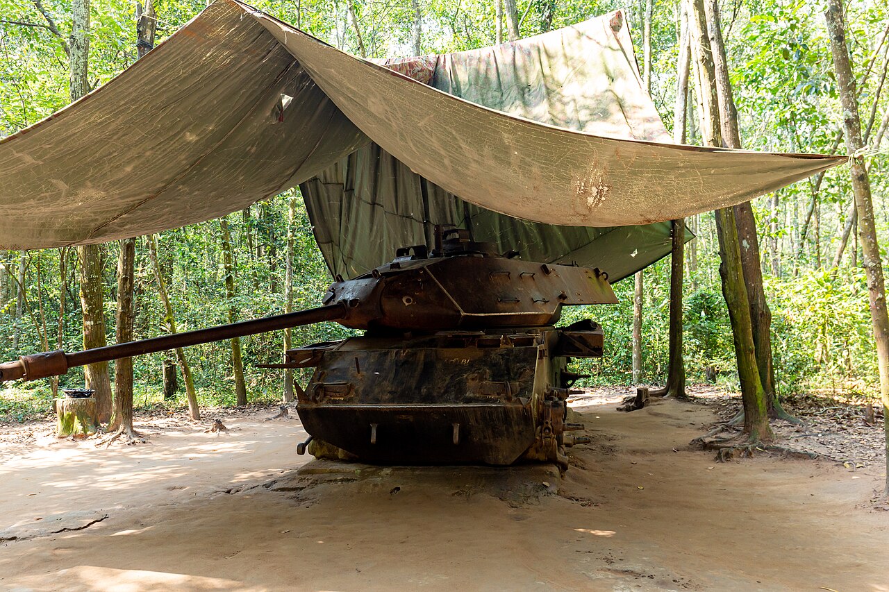
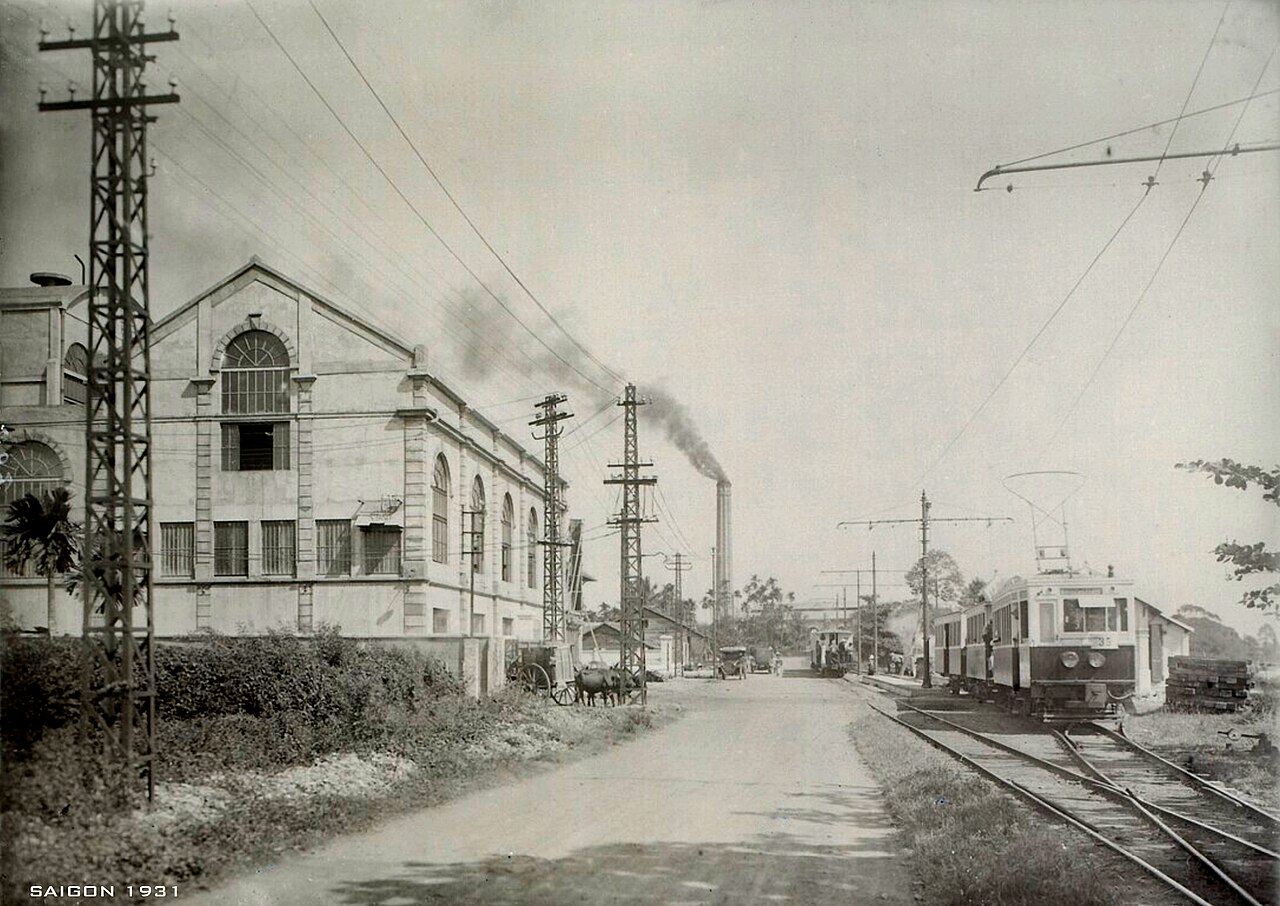
Ho Chi Minh City is the unavoidable hub: it holds the Reunification Palace, the War Remnants Museum, the Bến Thành Market area, French-era architecture in District 1 and an extensive network of streets in older districts such as Chợ Lớn, the historic Chinese commercial quarter. Củ Chi, within commuting distance of the city, is known for its extensive wartime tunnel network. Vũng Tàu is a coastal city with beaches that have historically served as a weekend destination for city residents. Cát Tiên National Park protects lowland tropical forest and is one of the more accessible wildlife areas in southern Vietnam, with recorded populations of gaur, sambar deer, crocodiles and diverse birdlife. Tây Ninh is the seat of the Cao Đài religion, and its Grand Temple is among the most architecturally distinctive religious buildings in Southeast Asia. Côn Đảo archipelago combines colonial-era prison history with coral reefs and sea turtle nesting beaches.
Getting There and Moving Around
Tân Sơn Nhất International Airport in Ho Chi Minh City is the busiest airport in Vietnam and connects the Southeast to domestic and international destinations. A second major airport at Long Thành in Đồng Nai province is under construction and expected to relieve capacity pressure, though its opening timeline has shifted repeatedly. Buses and minivans link Ho Chi Minh City to all provincial centres in the region, with frequent departures from the city's main bus terminals. The expressway network connecting Ho Chi Minh City to Vũng Tàu, Bình Dương and Đồng Nai has expanded significantly and road travel times are shorter than in much of Vietnam. Within Ho Chi Minh City, ride-hailing apps are the standard means of short-distance travel. Côn Đảo is reached by air from Ho Chi Minh City or by overnight ferry from Vũng Tàu; ferry conditions vary considerably by season.
Administrative Context
Vietnam reorganised its provincial administrative structure on 1 July 2025, merging 63 provincial-level units into 34 and abolishing the district tier. The Southeast's provinces were affected by this reorganisation: some boundaries and names changed at the provincial level, and the intermediate district layer no longer exists as a governing tier. Navigation, tourism and daily life in the region continue as before — Côn Đảo is still Côn Đảo, Cát Tiên is still Cát Tiên — but administrative references to specific former provinces or districts may be out of date. Travellers and businesses should verify current provincial names when dealing with official processes such as business registration, visa matters or land documentation.
Common Misunderstandings
First-time visitors sometimes treat the Southeast as simply the hinterland of Ho Chi Minh City, overlooking the substantial differences between provinces. Bình Phước and Tây Ninh, for instance, are largely rural with significant ethnic minority populations and a border-zone character quite distinct from the industrial corridors of Bình Dương. The Củ Chi tunnels are often visited on a half-day trip but the broader district contains agricultural landscapes and communities that saw prolonged conflict; the tunnels represent one layer of a more complex history. Côn Đảo's isolation is genuine: weather-related cancellations of ferries and occasional flight disruptions are not uncommon, and visitors with fixed onward plans should allow contingency time. Vũng Tàu's beaches are popular with domestic tourists but the water quality and facilities differ considerably between individual beach sections, and conditions are not uniform along the coast. Prices vary by season across the region, and rates in Ho Chi Minh City for accommodation and services are generally higher than elsewhere in Vietnam.
Where to go in the Southeast
6 plaatsen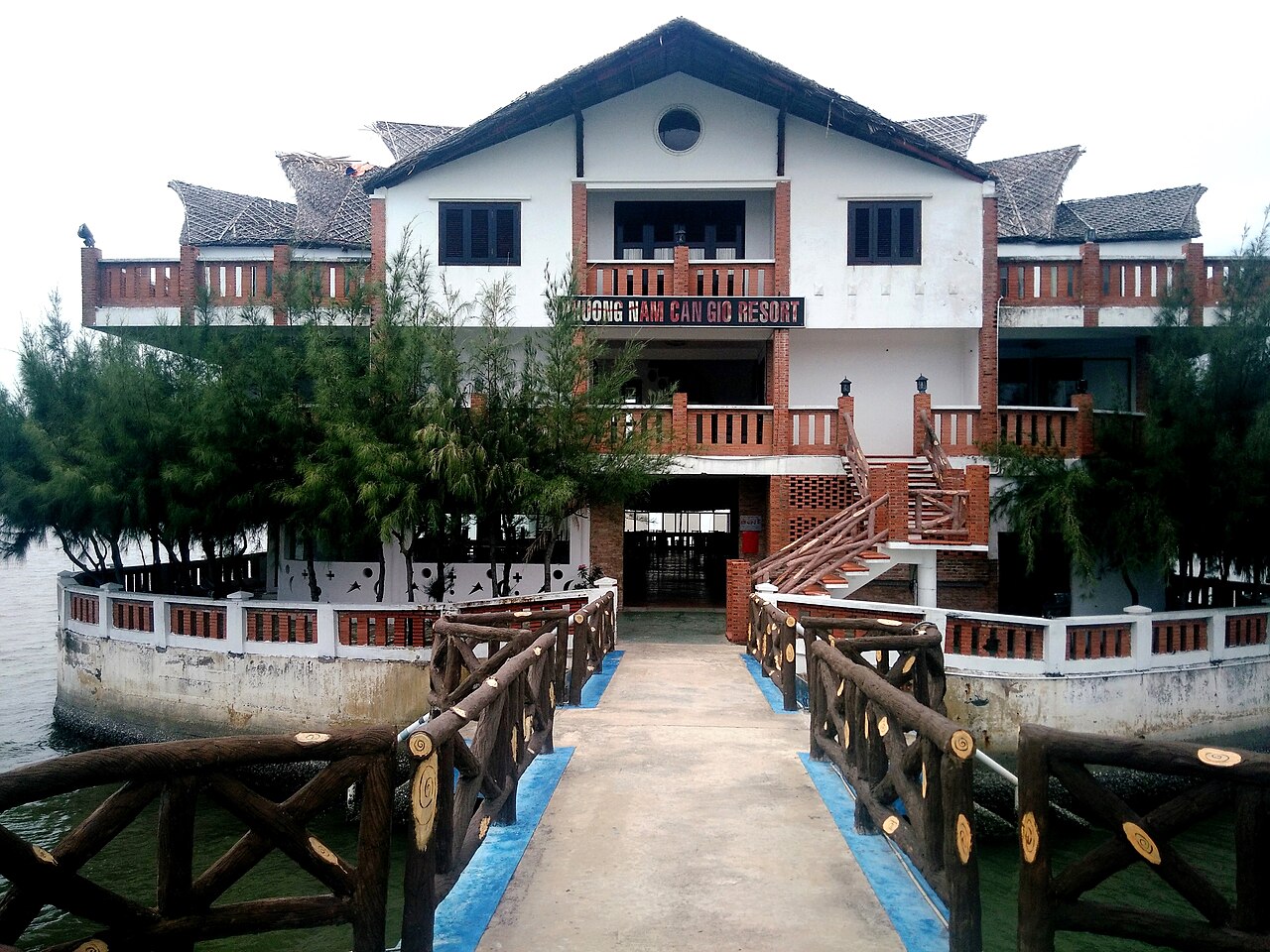 Destination
Can GioCần Giờ
UNESCO mangrove biosphere reserve near Ho Chi Minh City
 Island
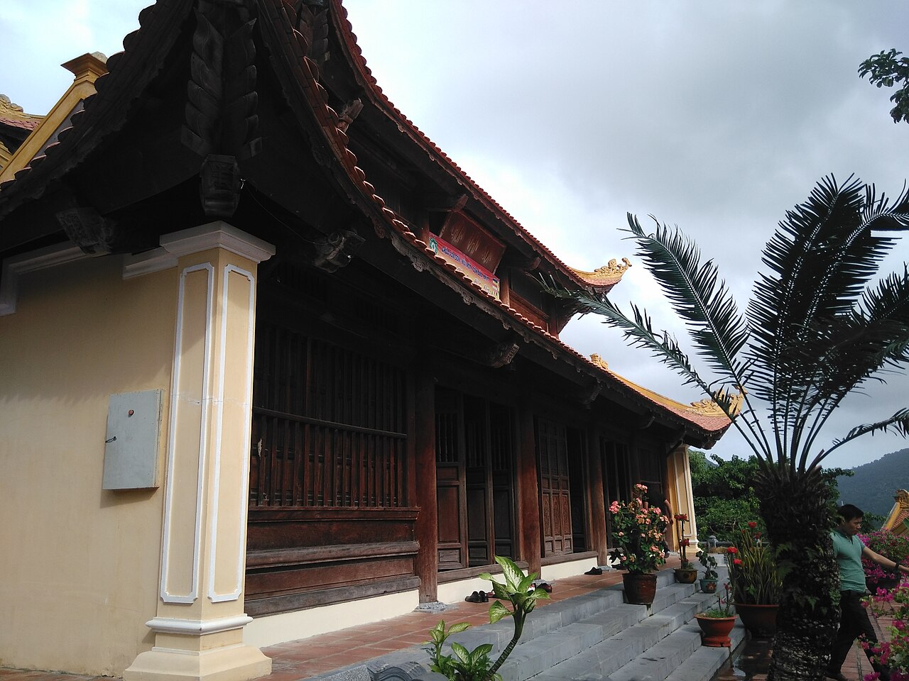
Con Dao IslandsCôn Đảo
Prison history, turtle nesting, empty beaches
 Destination
Vung TauVũng Tàu
Weekend beach city, Jesus statue, lighthouse
 National Park
Cat Tien National ParkVườn quốc gia Cát Tiên
Lowland rainforest, gibbons, Dao Tien primate island
 Destination
Cu Chi TunnelsĐịa đạo Củ Chi
Viet Cong tunnel network, war history day trip
 Destination
Ho Chi Minh City centreTrung tâm Sài Gòn
War Remnants Museum, Reunification Palace, Ben Thanh, street food
The provincial units today
What merged into what →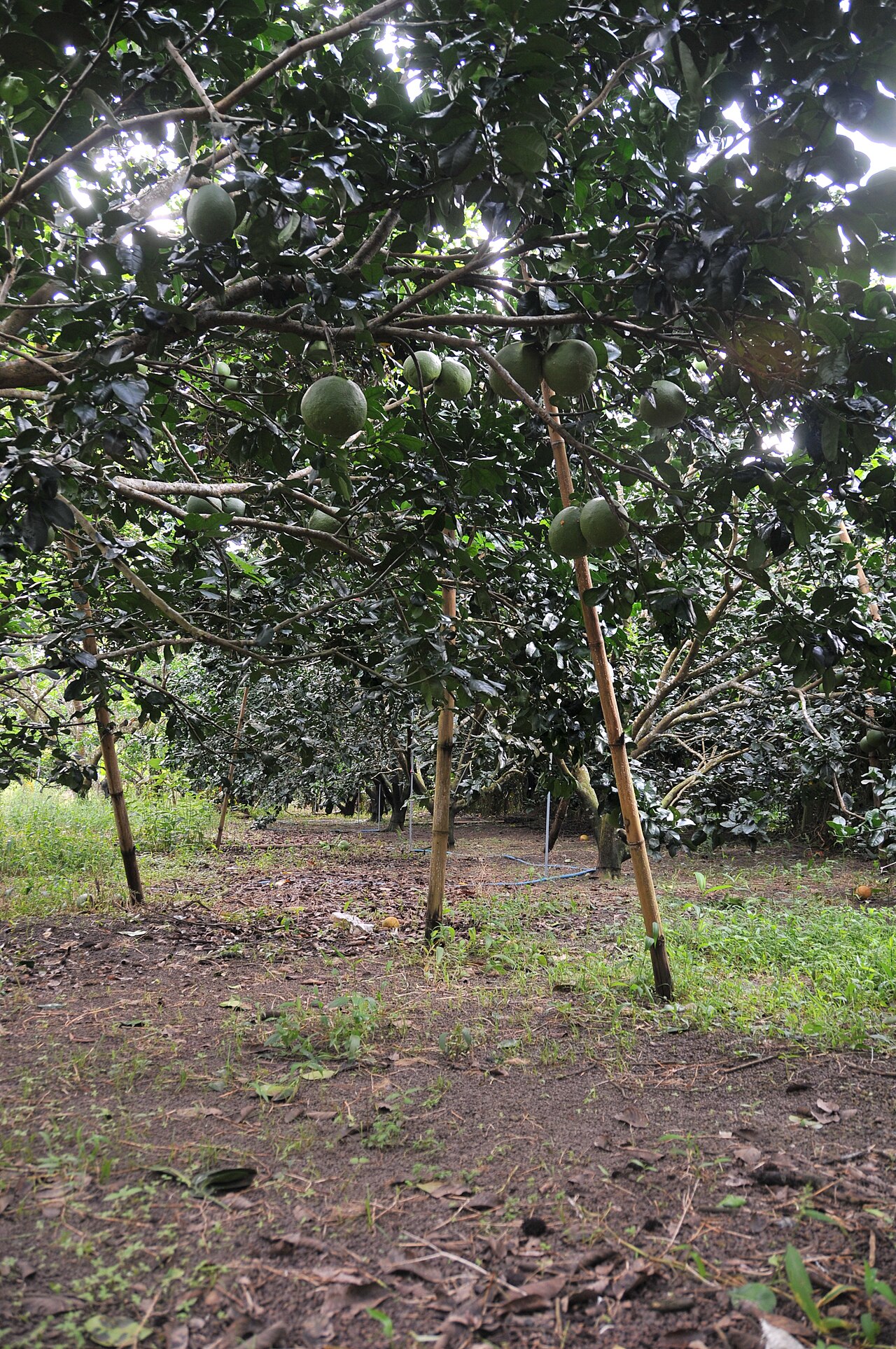 Province
Dong NaiĐồng Nai
Industrialised southeast province centred on Bien Hoa, known for manufacturing, the Dong…
 Municipality
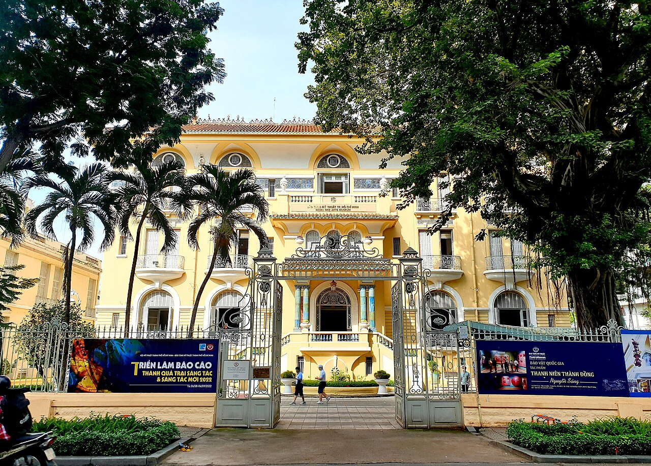
Ho Chi Minh CityThành phố Hồ Chí Minh
Vietnam's largest city and commercial centre, a dense, fast-moving metropolis in the…
 Province
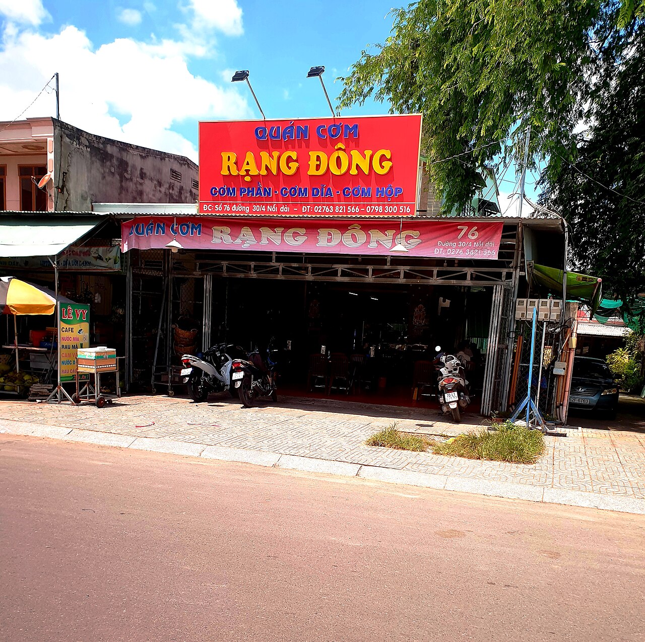
Tay NinhTây Ninh
Southern Vietnamese province known for the Cao Dai Holy See, Ba Den Mountain, and a long…
Voormalige provincies
Merged away in 2025 and kept as pages, because maps, guidebooks and booking sites still use these names.
 voormalige eenheid
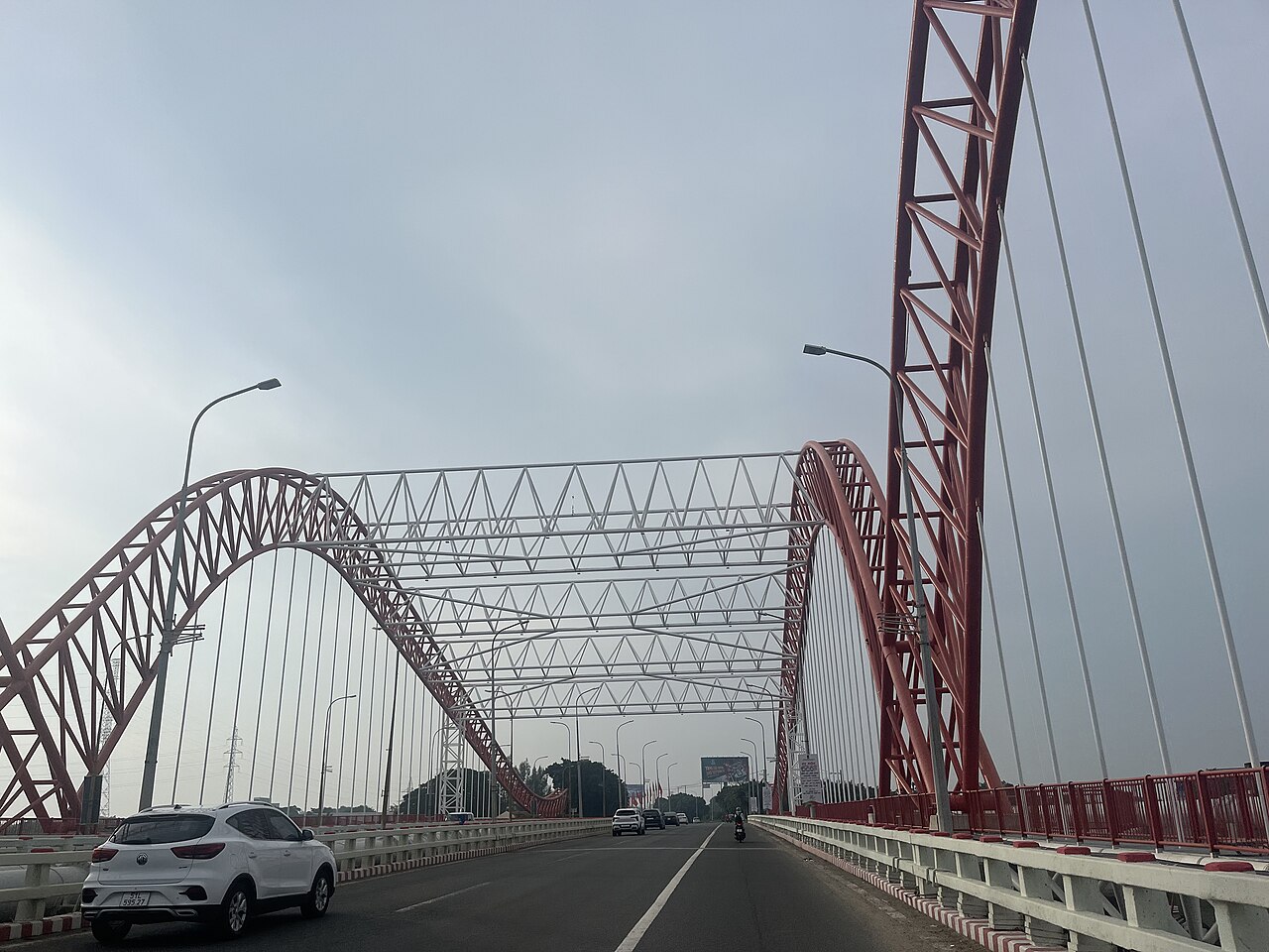
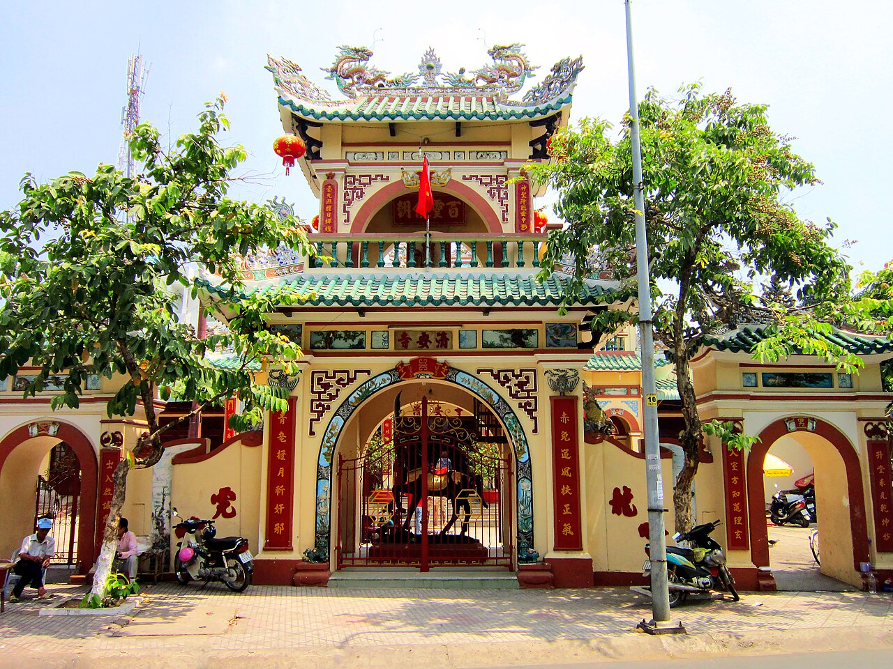
Ba Ria-Vung TauBà Rịa – Vũng Tàu
Vung Tau and Con Dao are in the former Ba Ria-Vung Tau.
 voormalige eenheid
Binh DuongBình Dương
Former province north of Ho Chi Minh City, now part of the expanded HCMC administrative…
 voormalige eenheid
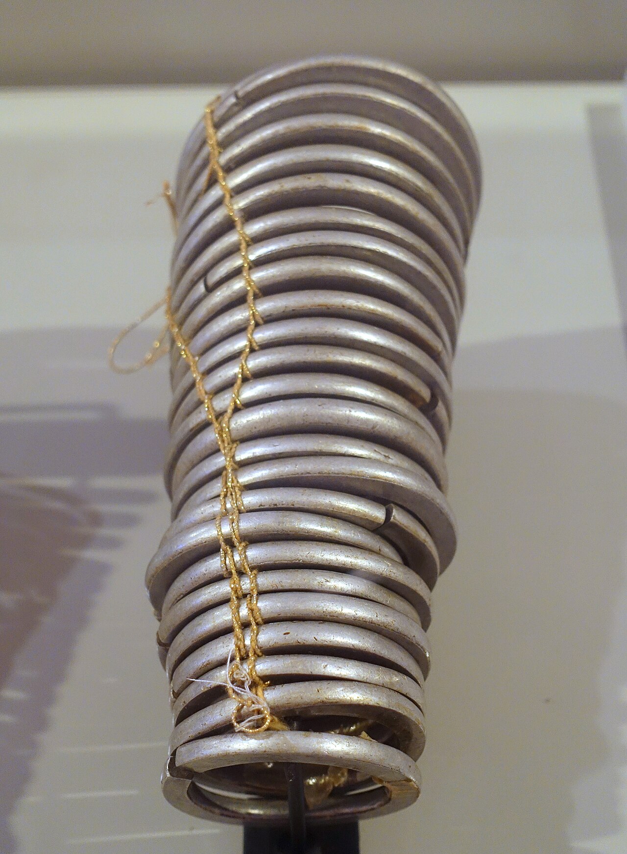
Binh PhuocBình Phước
Forested upland territory in southeast Vietnam, now administered as part of Dong Nai…
 voormalige eenheid
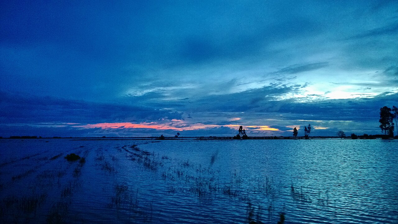
Long An
Former Mekong Delta province now part of Tay Ninh, known for its flooded plains, canal…
 voormalige eenheid
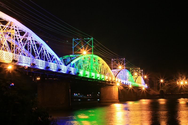
Biên Hòa
Major industrial city on the Đồng Nai River, northeast of Ho Chi Minh City, now…
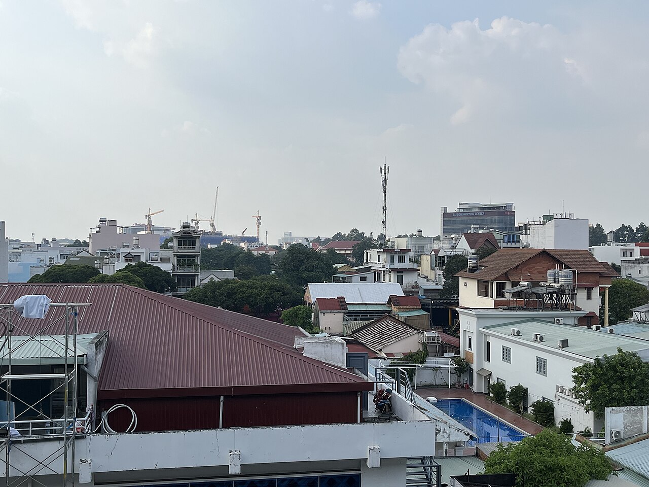 voormalige eenheid
Thủ Đức
Former city-level district of Ho Chi Minh City, absorbed into the province in the 2025…
Picture credits (21)
Ho Chi Minh City - Saigon1324, lumoplank, CC0, Wikimedia Commons · SaiGon my home town (15036485488), Phi Phi Hoang, CC BY 2.0, Wikimedia Commons · Cần Giờ 2018 (KND Phương Nam, điêu khắc chạm nổi cảnh thuyền bè) (1), Phương Huy, CC BY-SA 4.0, Wikimedia Commons · trungydang, CC BY 3.0, Wikimedia Commons · Ho Chi Minh centre (27767549369), dronepicr, CC BY 2.0, Wikimedia Commons · Cu Chi Tunnels, Ho Chi Minh City, Vietnam (49579303068), flowcomm, CC BY 2.0, Wikimedia Commons · ChieuTimViet, CC BY 3.0, Wikimedia Commons · Bảo tàng Mỹ thuật Tp (kiến trúc tổng thể) (2), Phương Huy, CC BY-SA 4.0, Wikimedia Commons · Tây Ninh 2022 (biển hiệu cửa hàng) (5), Phương Huy, CC BY-SA 4.0, Wikimedia Commons · Cần Giờ 2018 (KND Phương Nam, nhà chính) (2), Phương Huy, CC BY-SA 4.0, Wikimedia Commons · Chùa Vân Sơn ở Côn Đảo (3), Phương Huy ( thảo luận ), Public domain, Wikimedia Commons · trungydang, CC BY 3.0, Wikimedia Commons · Cat Tien Nat Park D 2021-11-06 by 1April1950, 1April1950, CC BY-SA 4.0, Wikimedia Commons · 20190925 Cu Chi tunnels tank display-2, Balon Greyjoy, CC0, Wikimedia Commons · Saigon -- Centrale-Éléctrique, Tetart (René), Public domain, Wikimedia Commons · Cầu Cỏ May 211224 2, Xuanphuocle, CC0, Wikimedia Commons · Chùa Ông Ngựa, Bùi Thụy Đào Nguyên, CC BY-SA 3.0, Wikimedia Commons · Bracelets, Xtieng, Binh Phuoc, 1990, aluminum - Vietnamese Women's Museum - Hanoi, Vietnam - DSC04046, Daderot, CC0, Wikimedia Commons · trungydang, CC BY 3.0, Wikimedia Commons · Cau Ghenh Bien Hoa vao nam 2010, Nguyễn Mạnh Tiến, CC BY 3.0, Wikimedia Commons · 11-01-2025 Line 1 Ho Chi Minh City metro for Ben Thanh Station 2, Xuanphuocle, CC0, Wikimedia Commons