NortheastĐông Bắc Bộ
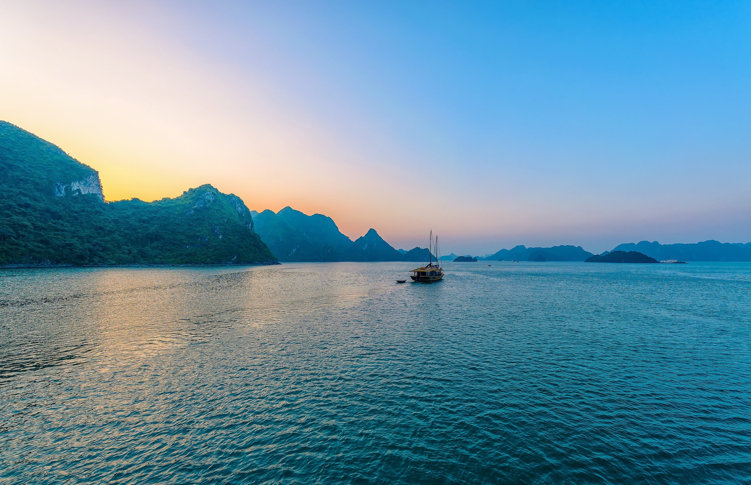
Vietnam's northeastern region, known for limestone karst scenery, minority cultures, border markets and the Ha Giang Loop.
What the Northeast Is
The Northeast (Đông Bắc Bộ) is a geographic and cultural region of Vietnam lying north and east of the Red River, bounded by China to the north, the Gulf of Tonkin to the east and the Northwest region to the west. It is not a formal administrative unit: since the 1 July 2025 provincial consolidation, its territory is governed by a reduced set of merged provinces operating under Vietnam's two-tier province/commune system. The region itself — its landscapes, communities and travel circuits — has not changed.
Provinces whose territories fall within the Northeast include Hà Giang, Cao Bằng, Lạng Sơn, Bắc Kạn, Thái Nguyên, Tuyên Quang, Phú Thọ, Bắc Giang and Quảng Ninh, though boundaries of the merged units now differ from pre-2025 maps. Travellers should confirm current provincial names when crossing administrative boundaries or applying for border-area permits.
Landscape and Character
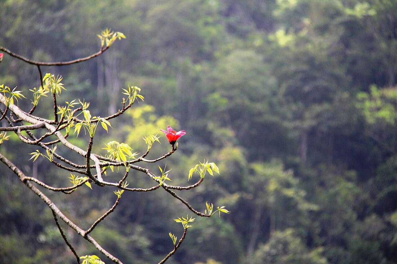
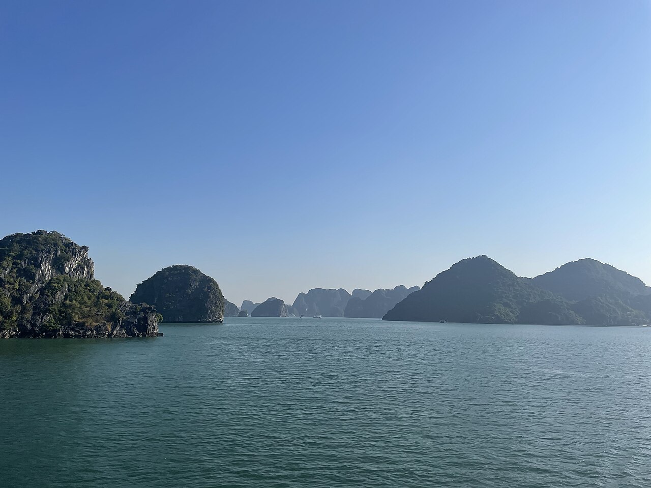
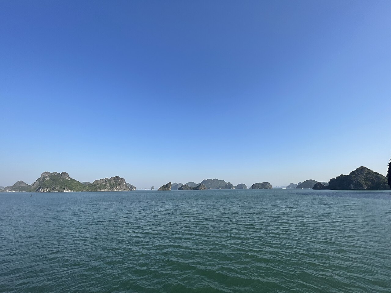
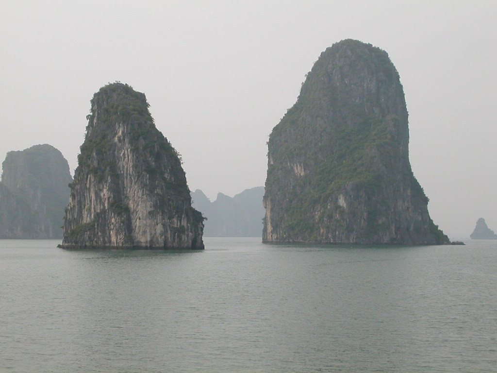
The dominant geology is Carboniferous limestone, which produces the dramatic karst formations visible across Hà Giang, Cao Bằng and the Đồng Văn Karst Plateau — a UNESCO Global Geopark. Rivers cut sharply through the stone, creating gorges such as the Nho Quế River canyon below Mã Pì Lèng Pass. Further east, the terrain softens into forested hills, river deltas and the coastal formations of Hạ Long Bay and Bái Tử Long Bay in Quảng Ninh.
The region hosts a high concentration of ethnic minority groups: Hmông, Tày, Nùng, Dao, Lô Lô, Giáy and others, each with distinct textile traditions, languages, agricultural practices and festival calendars. Weekly rotating markets — Đồng Văn, Mèo Vạc, Bắc Hà and Cốc Ly among them — function as social and commercial centres for surrounding villages and are among the most visited sites in the region.
Key Places and Circuits
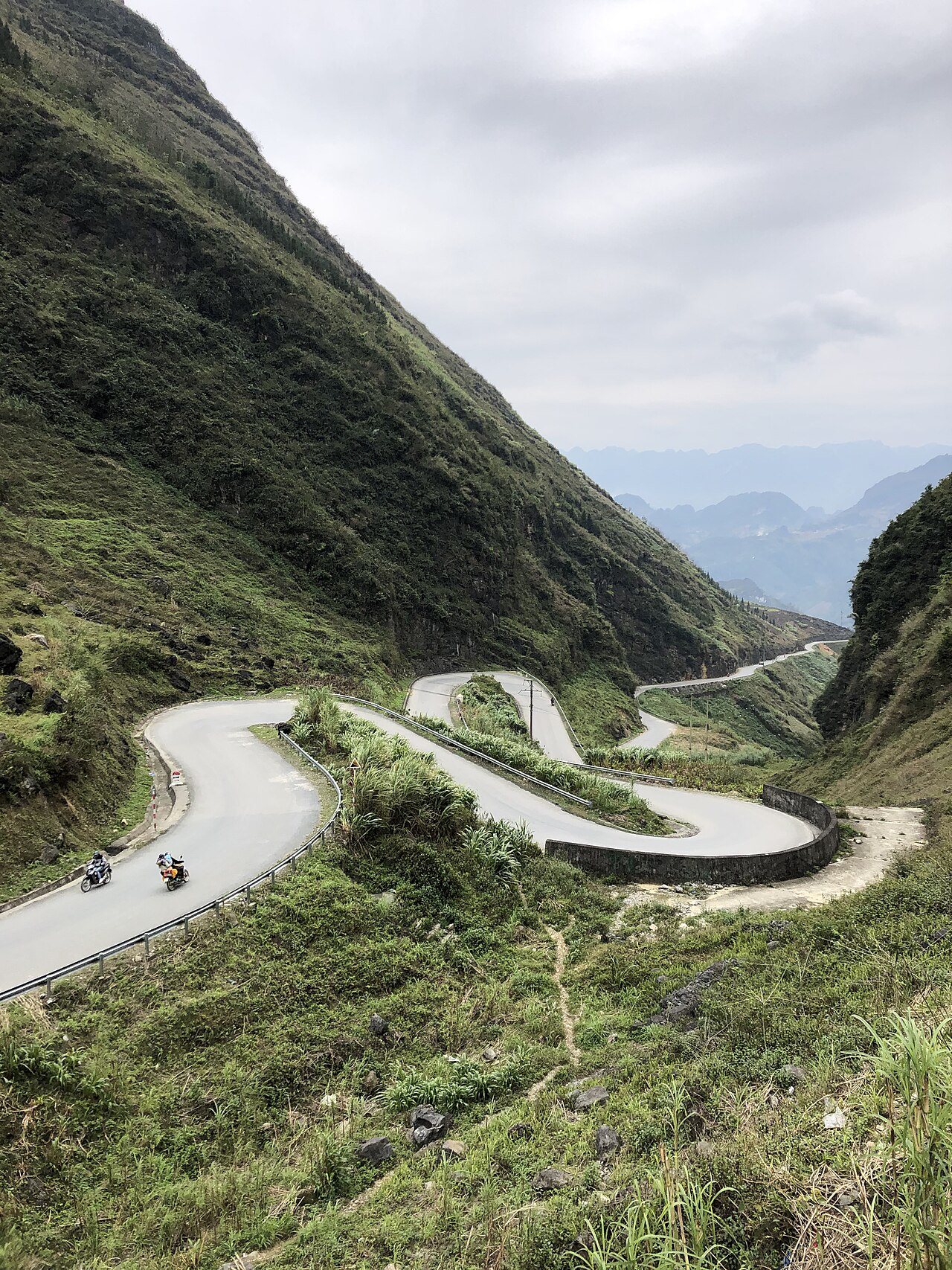
The Ha Giang Loop is the most discussed travel circuit in the Northeast: a multi-day motorcycle or car route through Đồng Văn, Mèo Vạc and Yên Minh, passing Mã Pì Lèng Pass and the karst plateau. Ha Giang town is the usual starting and finishing point.
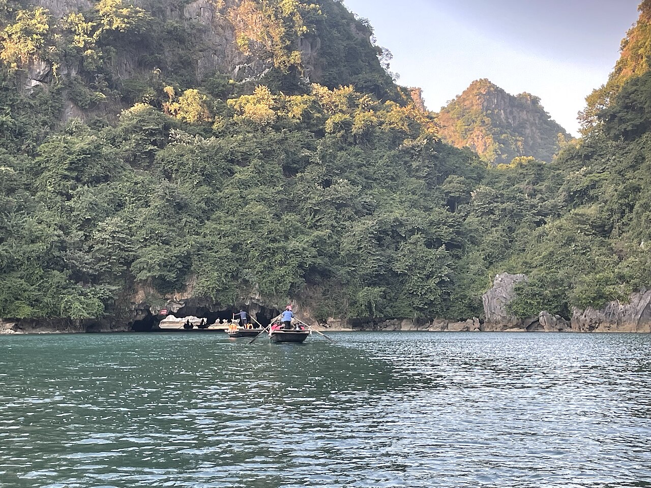
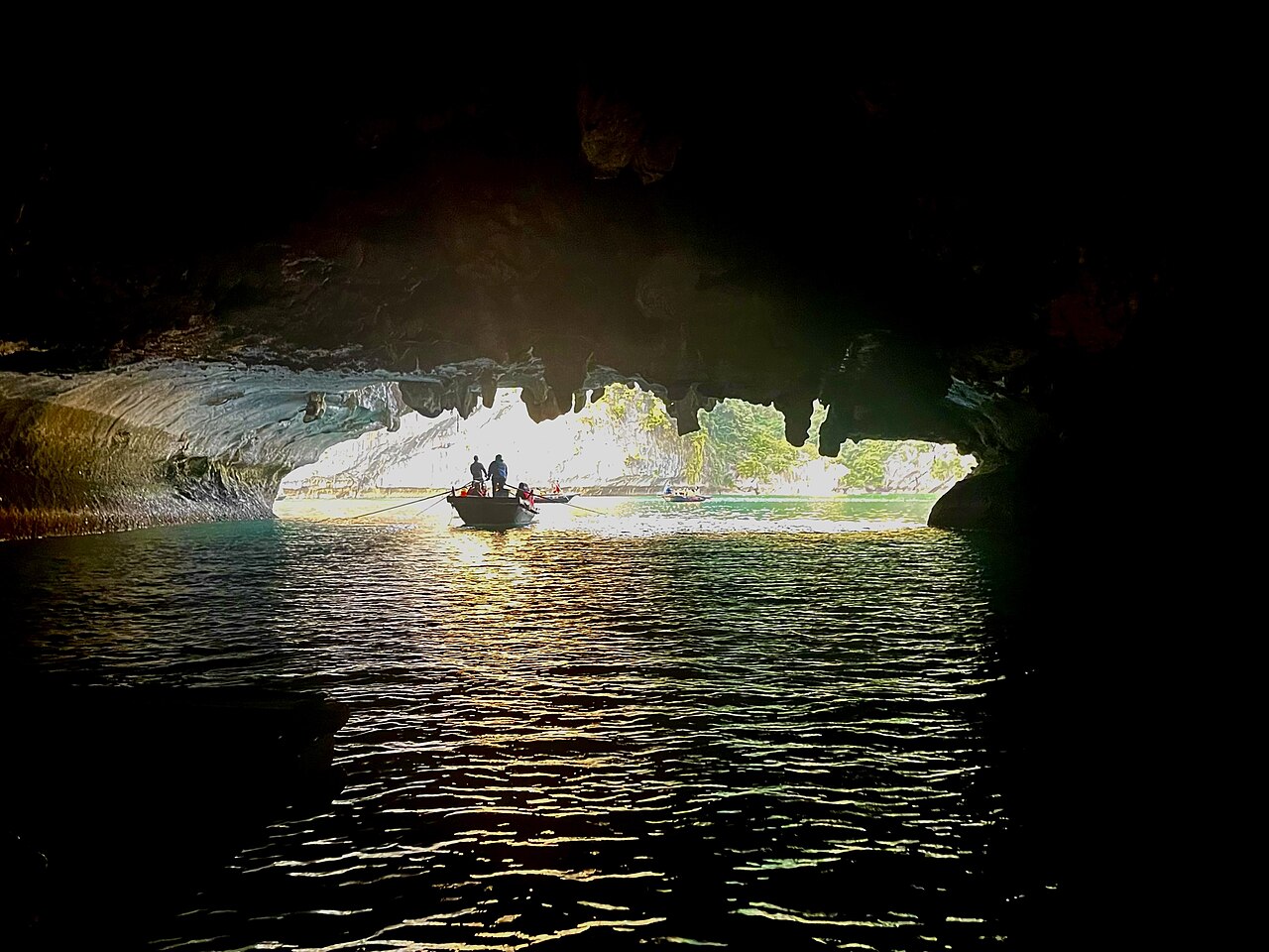
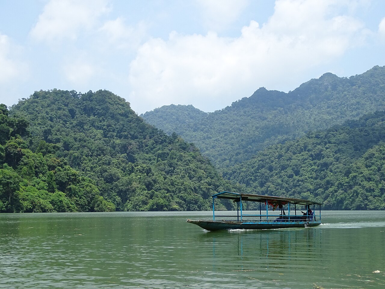
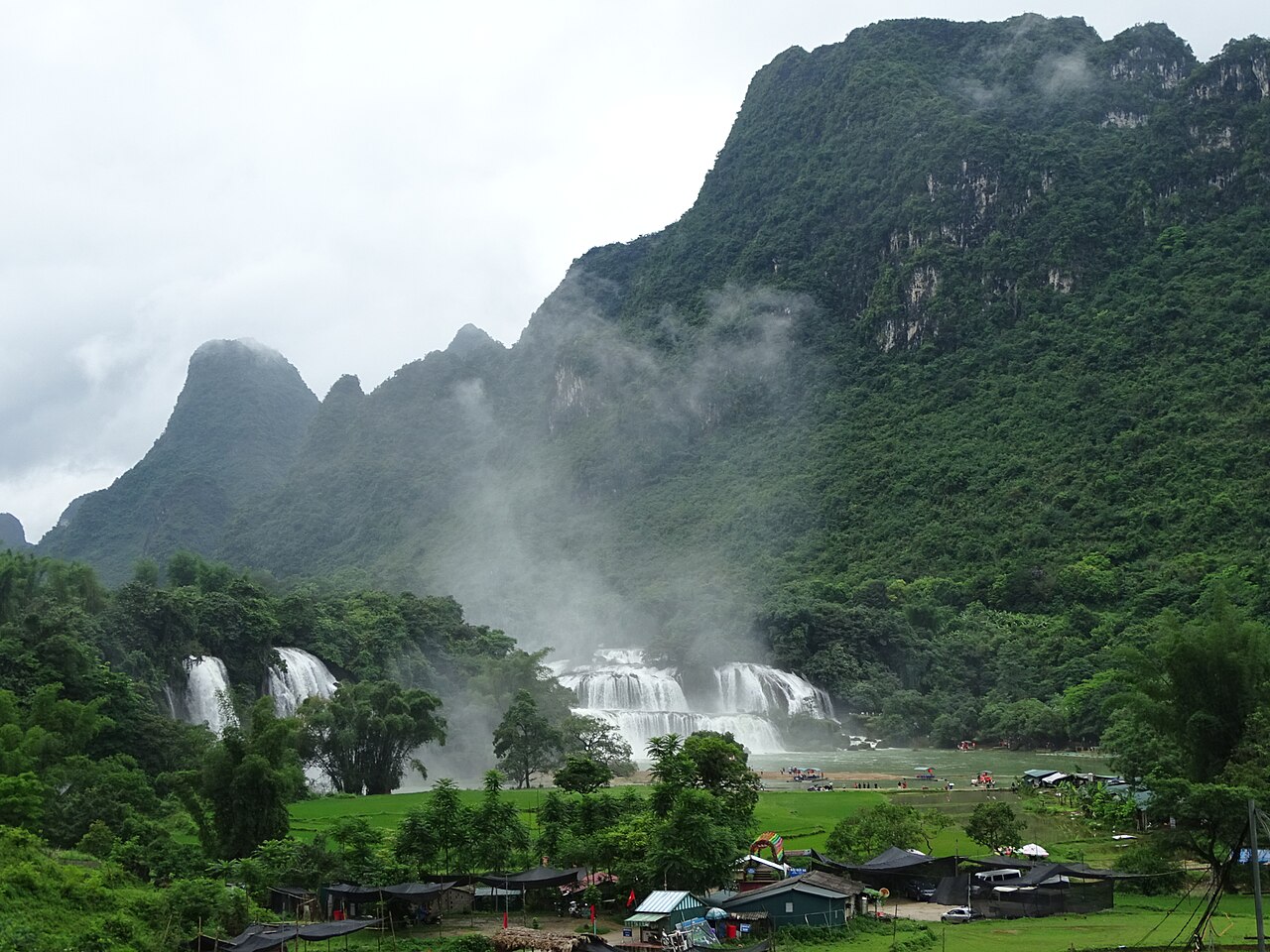
Cao Bằng is known for Bản Giốc waterfall on the Chinese border and the Pác Bó cave complex associated with Hồ Chí Minh's return to Vietnam in 1941. Lạng Sơn is a major road and rail border crossing with China and a commercial hub. Bắc Hà hosts a Sunday market drawing Flower Hmông traders from across the surrounding hills. Ba Bể Lake in the Bắc Kạn area is a large natural freshwater lake within a national park, navigable by boat through limestone-forested shores. Hạ Long Bay in Quảng Ninh, though often treated as a separate destination, falls geographically within the broader Northeast.
When to Go
The Northeast has a subtropical monsoon climate with a cool, sometimes cold, dry season from November to March and a warm, wet season from May to September. Conditions vary considerably by elevation: Ha Giang's plateau can see frost and occasional snow in January, while Quảng Ninh's coast remains milder.
The buckwheat flower season on the Đồng Văn plateau — typically October into November — draws significant visitor numbers for the pink-and-white hillside blooms. Terraced rice fields at lower elevations are at their most photogenic when the paddies are flooded in May to June and when the harvest ripens yellow in September to October. The rainy season brings landslide risk on mountain roads, particularly the Ha Giang Loop, and travellers should monitor road conditions. Typhoons can affect the eastern coast, including Quảng Ninh, between June and November.
Getting There and Around
Ha Giang town is reached by road from Hanoi in roughly five to six hours, or by overnight bus. There is no commercial airport serving Ha Giang. Cao Bằng and Lạng Sơn are also primarily accessed by road from Hanoi. Lạng Sơn has rail connections to Hanoi on a line that continues to the Chinese border at Đồng Đăng. Quảng Ninh's main city, Hạ Long, is connected to Hanoi by expressway; Van Don Airport near Vân Đồn island serves some domestic routes.
Within the mountain areas, most independent travellers hire motorcycles — either self-driven or with a local driver-guide — as road infrastructure beyond main routes can be narrow, unpaved and subject to seasonal damage. Distances between attractions are substantial and public bus services, while they exist, are infrequent on many mountain routes.
Permits and Practicalities
Certain border-adjacent areas of the Northeast, particularly around Đồng Văn and sections of Cao Bằng near the Chinese frontier, are classified as restricted zones requiring a border-area permit for foreign nationals. Permit requirements, the areas they cover and the process for obtaining them are subject to change; travellers should verify current rules with local guesthouses, tour operators or provincial authorities before travelling, as enforcement is inconsistent but real.
Mobile network coverage is limited in deep valleys and on remote passes. Petrol stations are spaced far apart on the Ha Giang Loop and carry-reserves are advisable on some stretches. ATMs exist in main towns but are absent in smaller communes.
Common Misunderstandings
First-time visitors frequently underestimate distances and road conditions. A point that looks close on a map may involve two or three hours of mountain riding on a narrow road. Building extra days into any itinerary is advisable.
The Northeast is not the same as the Northwest: Sapa and Mù Cang Chải lie in the Northwest region, west of the Red River. The two regions are sometimes conflated in travel writing, but they are distinct in landscape, ethnic composition and logistics.
Since the 2025 administrative reorganisation, some older maps, guidebooks and travel resources still show pre-merger province names. Administrative boundaries shown on pre-July 2025 materials no longer reflect the current governance structure, though the places, roads and communities they depict remain accurate for physical geography.
Where to go in the Northeast
6 luoghi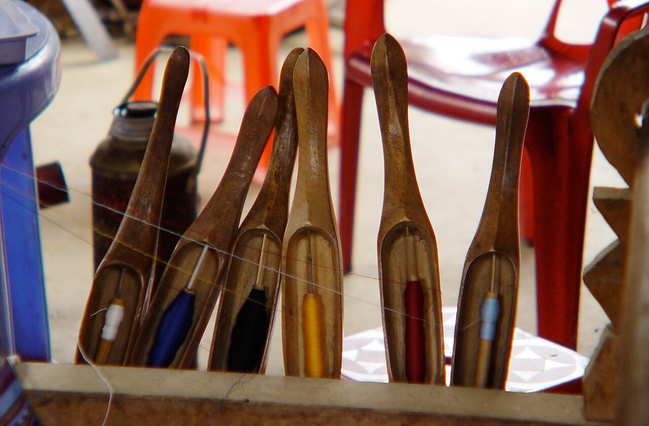 Destination
Mai ChauMai Châu
White Thai stilt-house homestays in a rice valley
 Destination
Tam DaoTam Đảo
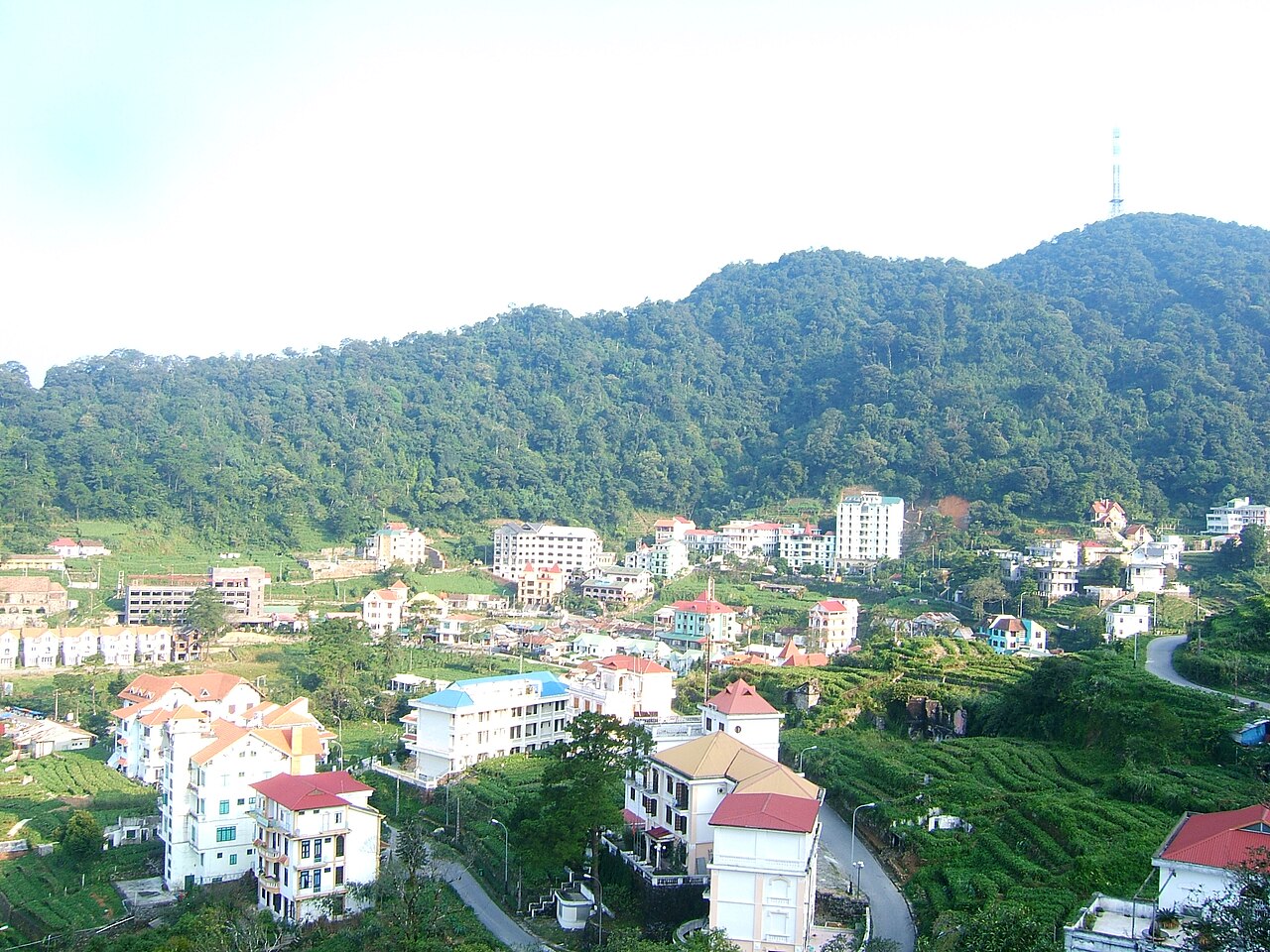
French-era hill station close to Hanoi
 National Park
Ba Be National ParkVườn quốc gia Ba Bể
Vietnam's largest natural lake, Tay homestays, boat trips
 Destination
Ban Gioc WaterfallThác Bản Giốc
Border waterfall shared with China, Nguom Ngao cave
 Destination
Ha Giang LoopVòng cung Hà Giang
Three- to four-day motorbike loop through the Dong Van karst plateau
 Destination
Ha Long BayVịnh Hạ Long
UNESCO limestone karst bay, overnight cruises
The provincial units today
What merged into what →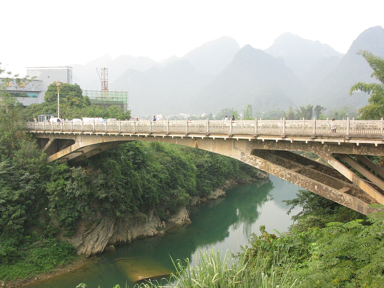 Province
Cao BangCao Bằng
One of Vietnam's 34 provincial-level units, unchanged by the 2025 reorganisation.
 Province
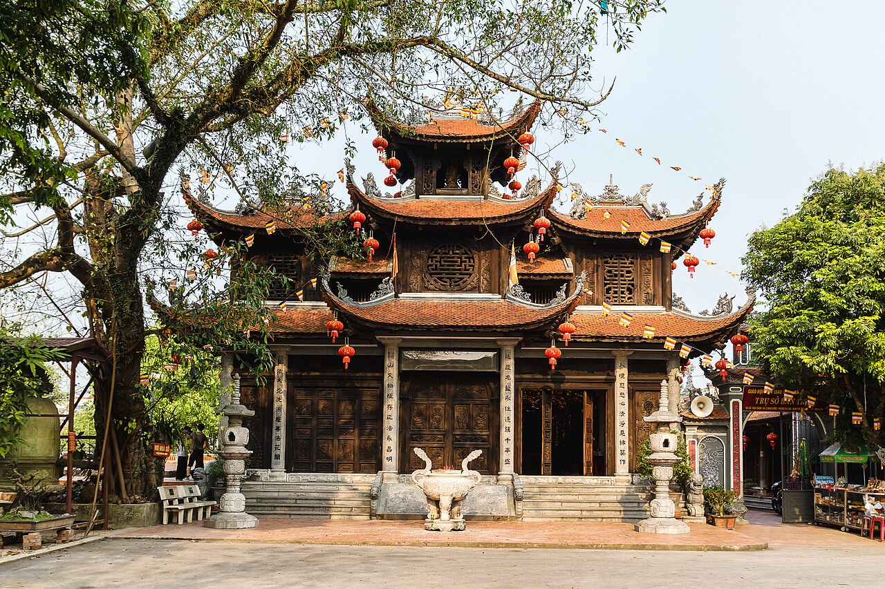
Lang SonLạng Sơn
One of Vietnam's 34 provincial-level units, unchanged by the 2025 reorganisation.
 Province
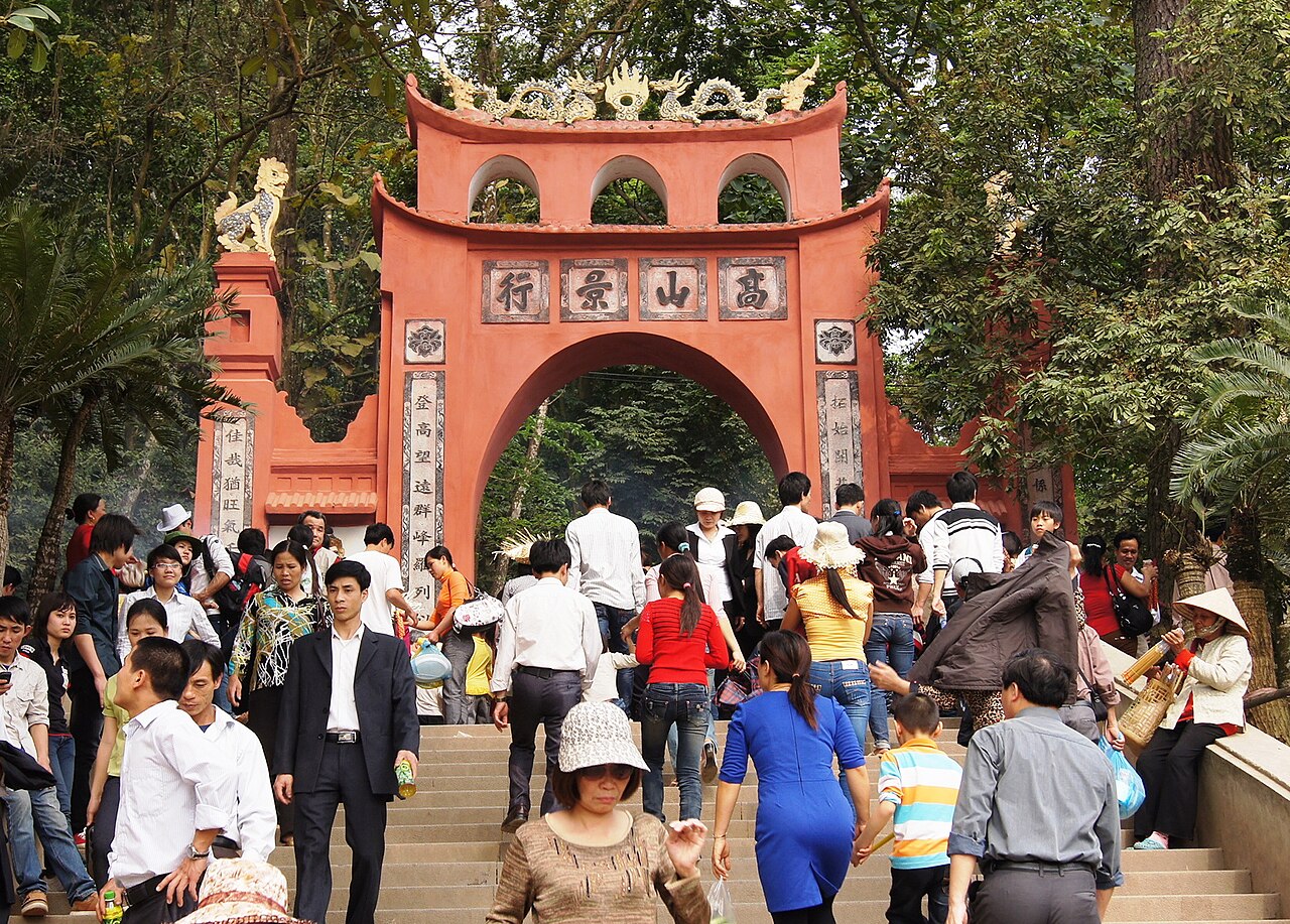
Phu ThoPhú Thọ
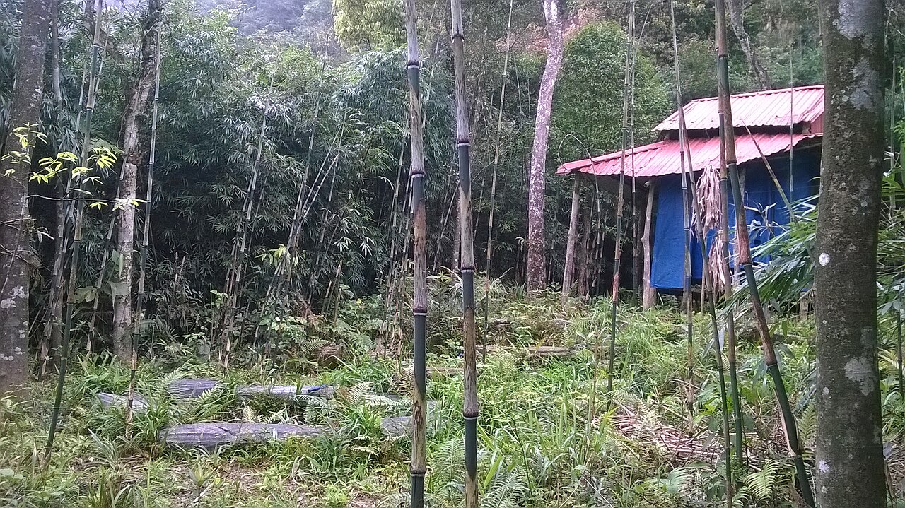
One of Vietnam's 34 provincial-level units, enlarged on 1 July 2025.
 Province
Quang NinhQuảng Ninh
One of Vietnam's 34 provincial-level units, unchanged by the 2025 reorganisation.
 Province
Thai NguyenThái Nguyên
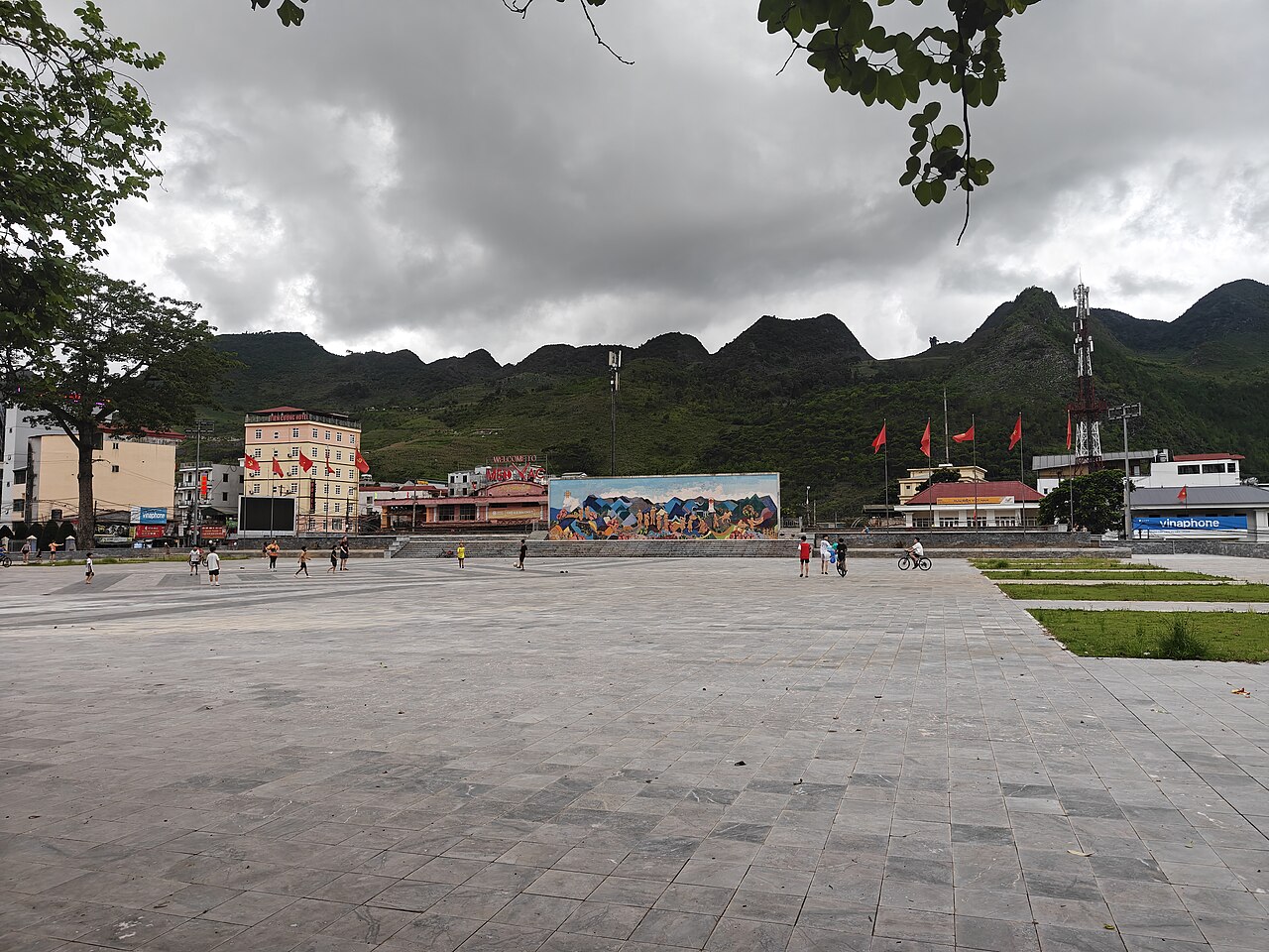
One of Vietnam's 34 provincial-level units, enlarged on 1 July 2025.
 Province
Tuyen QuangTuyên Quang
One of Vietnam's 34 provincial-level units, enlarged on 1 July 2025.
Province precedenti
Merged away in 2025 and kept as pages, because maps, guidebooks and booking sites still use these names.
 unità precedente
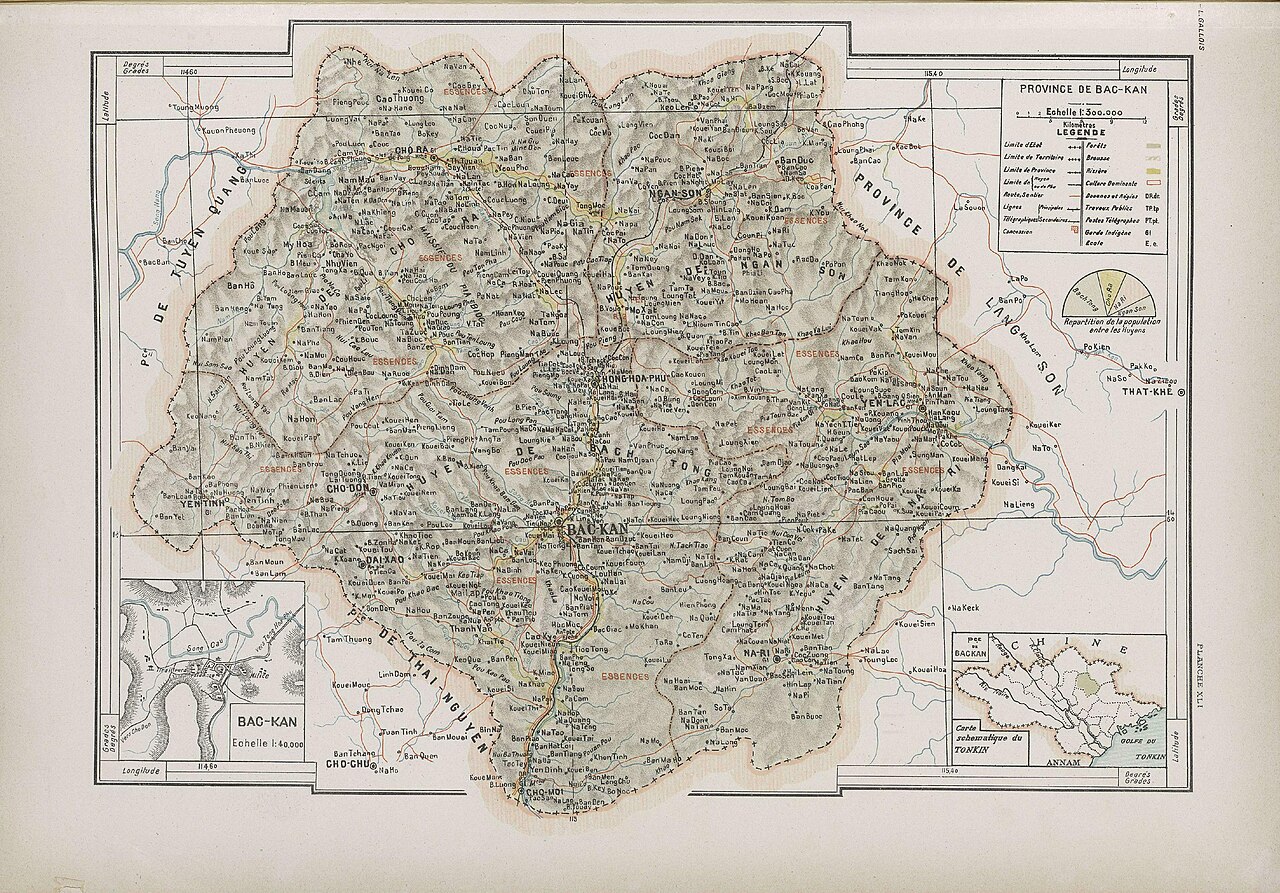
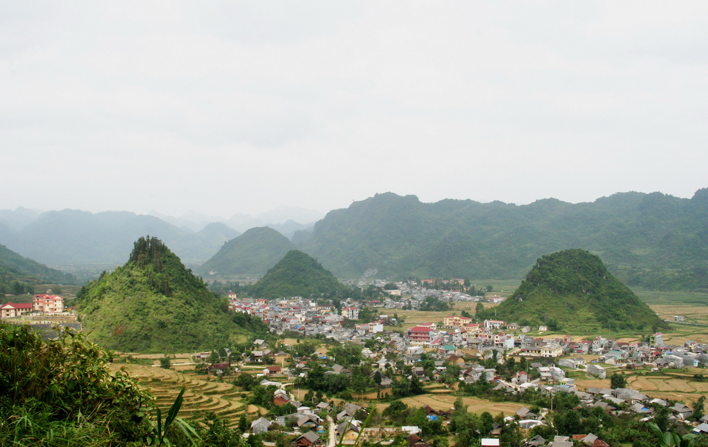
Bac KanBắc Kạn
Ba Be National Park and its lake are in the former Bac Kan.
 unità precedente
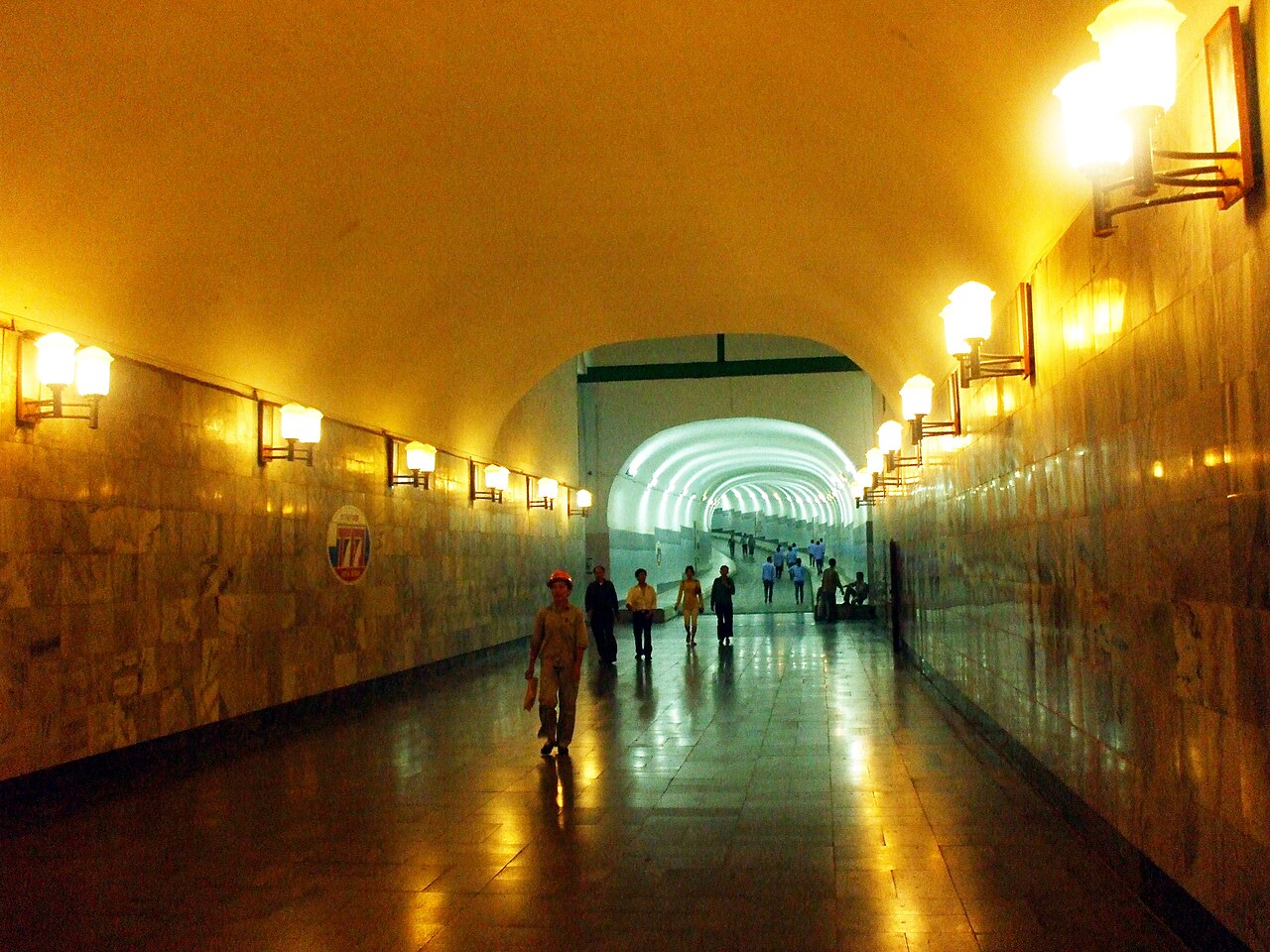
Ha GiangHà Giang
The Ha Giang Loop, Dong Van karst plateau and Ma Pi Leng pass are all in the former Ha…
 unità precedente
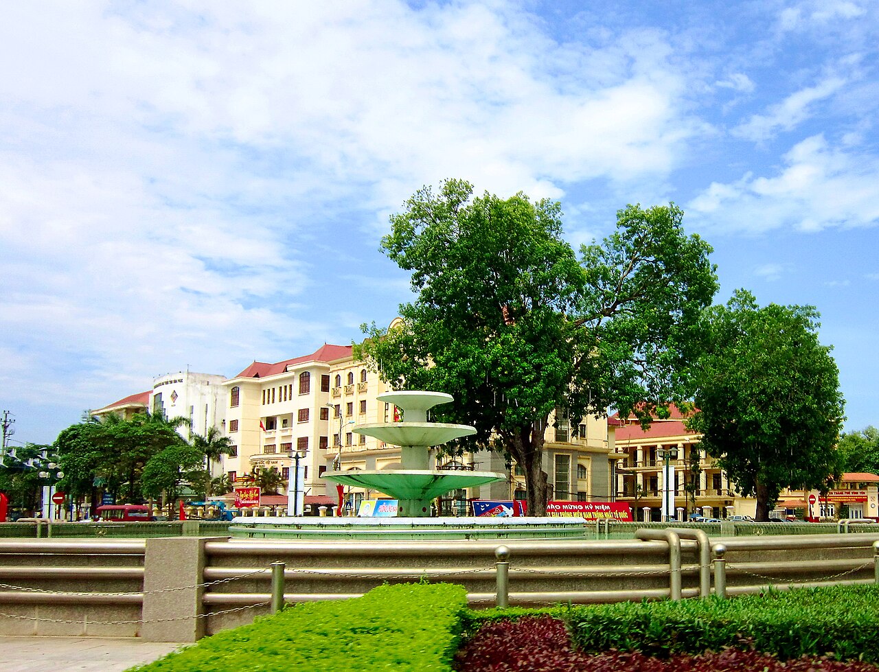
Hoa BinhHòa Bình
Mai Chau valley is in the former Hoa Binh.
 unità precedente
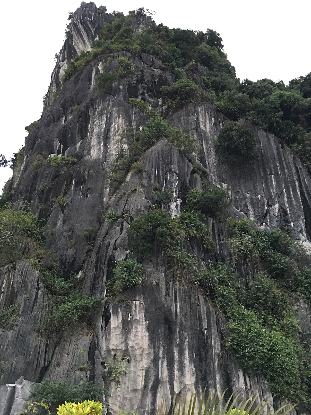
Vinh PhucVĩnh Phúc
Tam Dao hill station is in the former Vinh Phuc.
 unità precedente
Hạ Long
Hạ Long city sits on the shore of Hạ Long Bay in northeast Vietnam; since July 2025 it is…
 unità precedente
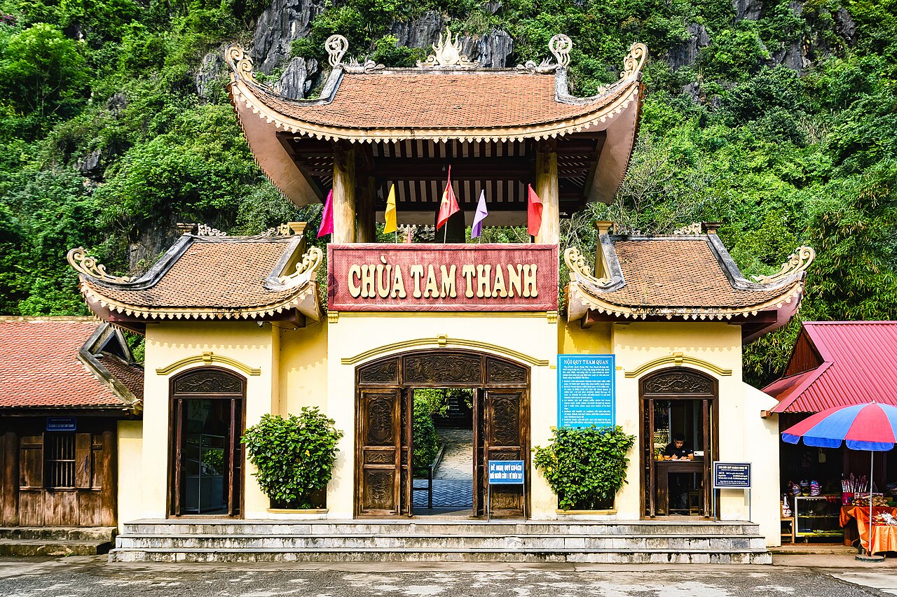
Lạng Sơn
The main urban settlement of Lạng Sơn province, a border-trading city in Vietnam's…
 unità precedente
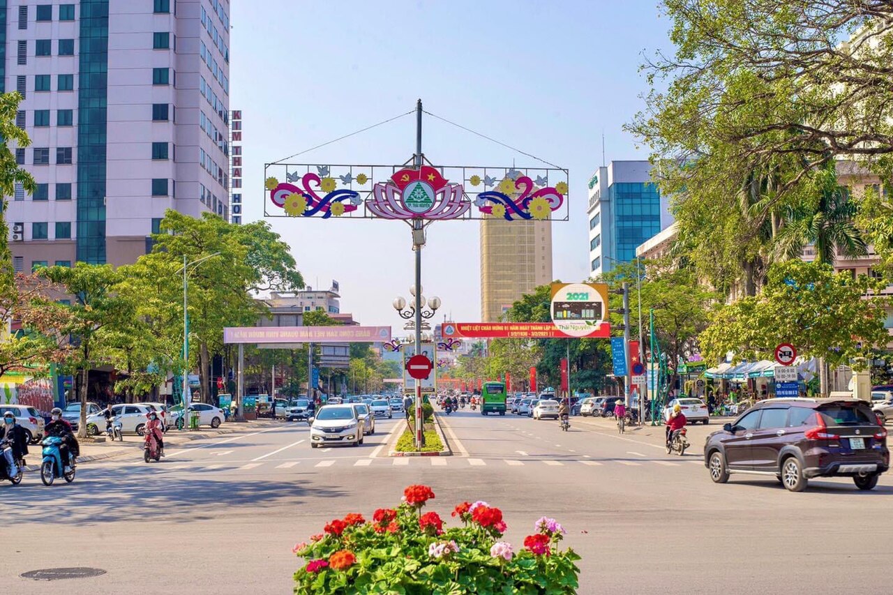
Thái Nguyên
The urban centre of Thái Nguyên, known as Vietnam's foremost tea-growing city, located…
 unità precedente
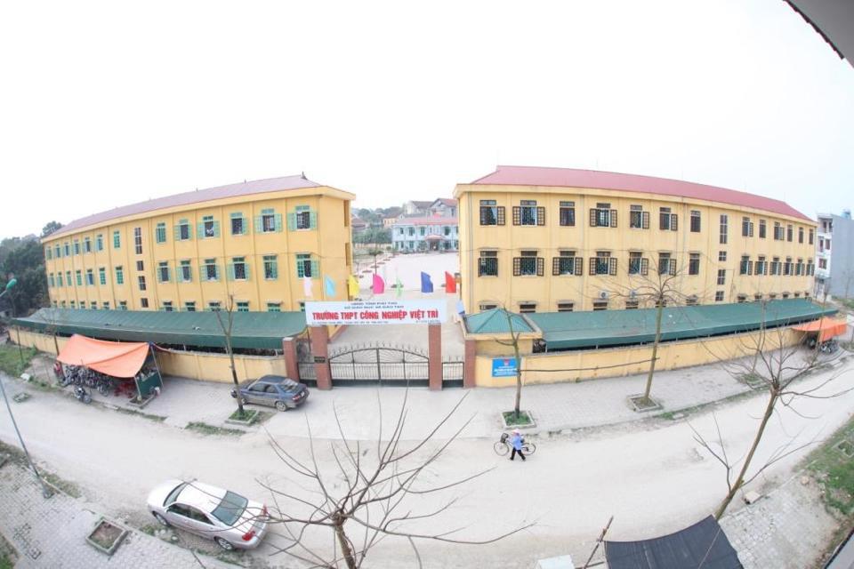
Việt Trì
River-junction city in northern Vietnam, historically linked to the Hùng Kings and now…
Picture credits (27)
Sunset on Halong Bay (16120687568), cloud.shepherd, CC BY 2.0, Wikimedia Commons · Hoa rừng sơn cước Đông Bắc 2012 (7), Phương Huy ( thảo luận ), Public domain, Wikimedia Commons · Halong Bay - Northeast Vietnam (1), Muralikrishna m, CC BY-SA 4.0, Wikimedia Commons · Halong Bay - Northeast Vietnam (2), Muralikrishna m, CC BY-SA 4.0, Wikimedia Commons · Halong Bay - Northeast Vietnam (3), Muralikrishna m, CC BY-SA 4.0, Wikimedia Commons · Halong Bay - Northeast Vietnam (4), Muralikrishna m, CC BY-SA 4.0, Wikimedia Commons · Tam Dao 7-2015, Kentaro Nka, CC BY-SA 4.0, Wikimedia Commons · Bang River at Ta Lung - Suikou border gates in Vietnam - China border, Phó Nháy ( talk ) 19:23, 19 October 2013 (UTC), CC BY 3.0, Wikimedia Commons · Chùa Thành, Bùi Thụy Đào Nguyên, CC BY-SA 4.0, Wikimedia Commons · Đền Hùng, Hoangvantoanajc, CC BY-SA 3.0, Wikimedia Commons · Am Hàm Rồng, Gió vô ưu, CC BY-SA 4.0, Wikimedia Commons · Bi xanh bac kan, Hoàng Lương, CC0, Wikimedia Commons · Meo Vac Commune Square, Tuyen Quang Province, HuangWending18072009, CC0, Wikimedia Commons · Traditional-Crafts,-Mai-Chau,-Vietnam, Steven C. Price, CC BY-SA 4.0, Wikimedia Commons · Khu du lịch Tam Đảo, Viethavvh at vi.wikipedia, Public domain, Wikimedia Commons · Scenery at Ba Be Lake - Ba Be National Park - Vietnam - 01 (48102368637), Adam Jones from Kelowna, BC, Canada, CC BY-SA 2.0, Wikimedia Commons · Ban Gioc Waterfall - Trung Kanh District - Cao Bang Province - Vietnam - 01 (48119813303), Adam Jones from Kelowna, BC, Canada, CC BY-SA 2.0, Wikimedia Commons · Ha Giang Loop, Sabourock, CC BY-SA 4.0, Wikimedia Commons · Ha Long bay tourism 10, Syced, CC0, Wikimedia Commons · Province de Bac-Kan (1909), Chabert-Ostland, Clément-Casimir de (1881-1915) Gallois, Lucien (1857-1941), Public domain, Wikimedia Commons · Thitrantamson, Thái Nhi at vi.wikipedia, Public domain, Wikimedia Commons · Hầm đường bộ nhà máy thủy điện Hòa Bình, Bùi Thụy Đào Nguyên, CC BY-SA 3.0, Wikimedia Commons · Vòng xoay ở chỗ Bưu điện Vĩnh Phúc, Bùi Thụy Đào Nguyên, CC BY-SA 3.0, Wikimedia Commons · kimjongdae, CC BY 3.0, Wikimedia Commons · Chùa Tam Thanh, Bùi Thụy Đào Nguyên, CC BY-SA 4.0, Wikimedia Commons · Trung tâm thành phố Thái Nguyên, Huyleictu, CC BY-SA 4.0, Wikimedia Commons · Trường Trung học phổ thông Công nghiệp Việt Trì 2, Vkprostudio ( thảo luận ), Public domain, Wikimedia Commons