Central HighlandsTây Nguyên
Vietnam's interior plateau, known for coffee, ethnic minority villages, pine forests and a cooler climate than the surrounding lowlands.
What the Central Highlands is
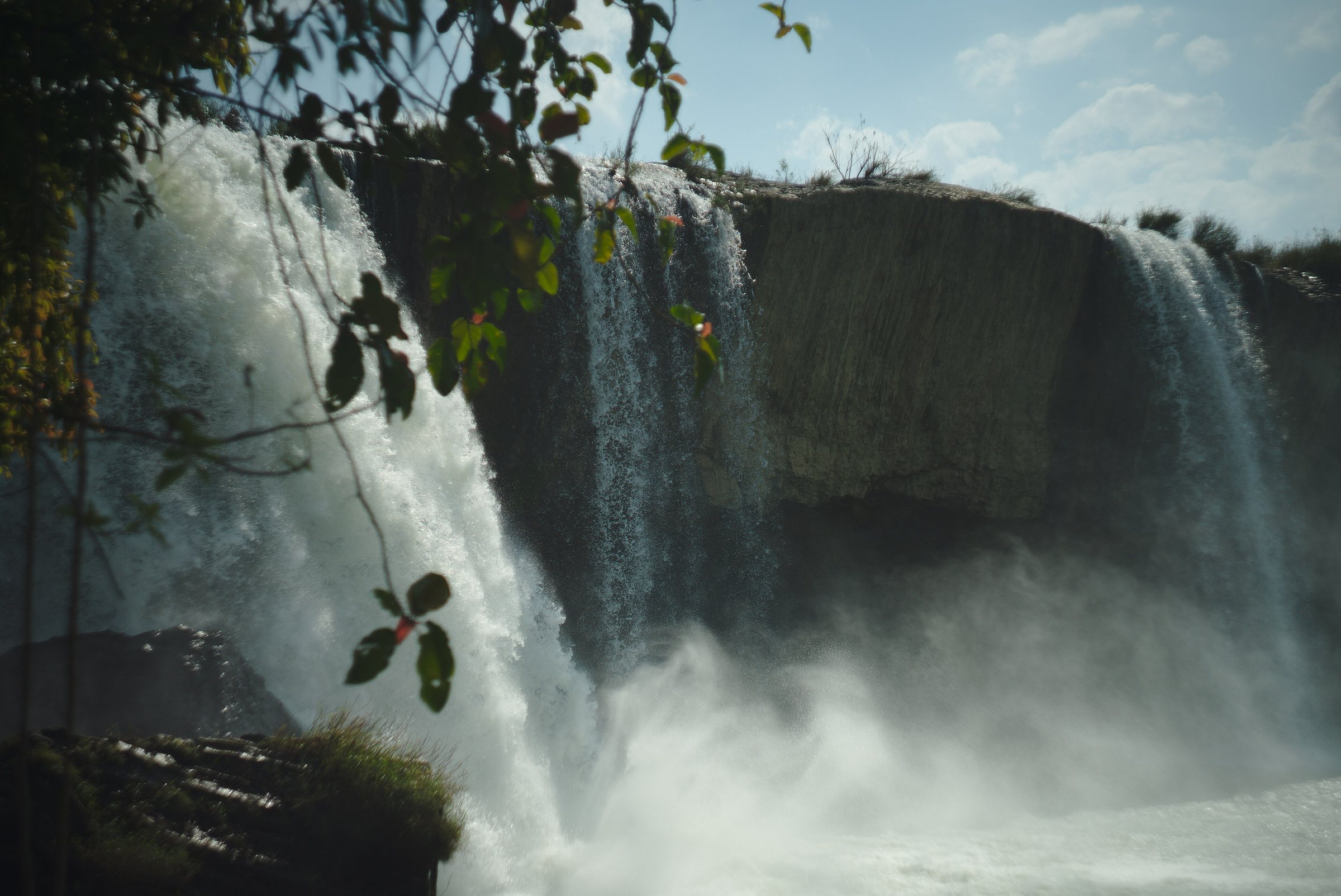
Tây Nguyên — usually rendered in English as the Central Highlands — refers to the elevated interior plateau that runs along Vietnam's western spine, bounded by the Annamite Range to the west (bordering Laos and Cambodia) and dropping sharply to the coastal lowlands to the east. The region sits at elevations ranging from around 500 metres in its lower valleys to over 2,000 metres on the Langbiang Plateau near Đà Lạt.
It is not an administrative unit: after Vietnam's 2025 provincial consolidation the territory is governed by five provinces — Đắk Lắk, Đắk Nông, Gia Lai, Kon Tum, and Lâm Đồng — but Tây Nguyên remains the standard geographic and cultural term for the whole region. The provinces themselves now deal directly with communes, with the district tier abolished.
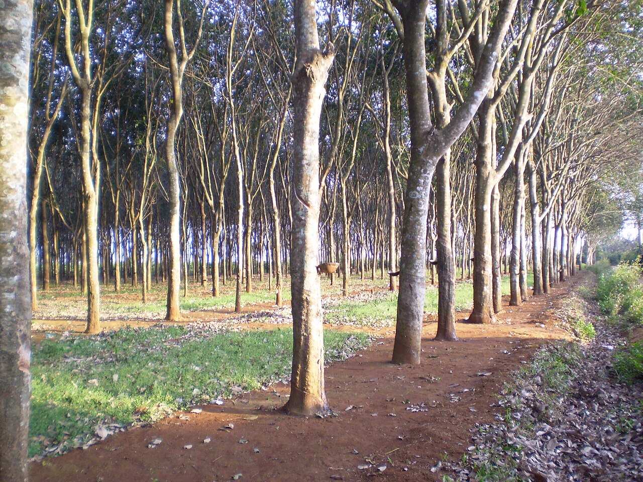
The region accounts for the large majority of Vietnam's robusta coffee output, and the red basalt soils around Buôn Ma Thuột are regarded as among the most productive coffee-growing lands in Southeast Asia. Pepper, tea, rubber, and various fruit crops are also grown at scale.
Peoples and cultures
The highlands are home to dozens of indigenous ethnic groups collectively called the Thượng or, in international usage, Montagnards — a French colonial term still used in English-language contexts. Major groups include the Ê Đê, Bahnar, Jarai, M'Nông, Kơ Ho, and Mạ, each with distinct languages, longhouse traditions, and ceremonial practices.
Gong culture is particularly significant: the polyphonic bronze-gong ensembles of the Central Highlands were recognised by UNESCO in 2005 as an Intangible Cultural Heritage of Humanity. Gongs are used in agricultural rituals, funerals, and communal ceremonies, and individual instruments are treated as having spiritual weight.
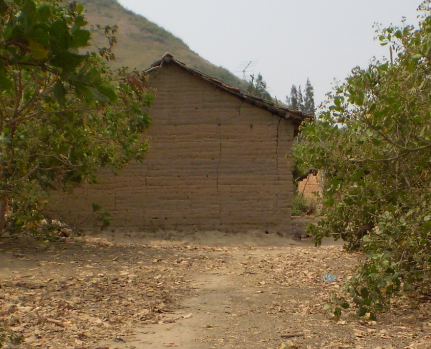
The traditional longhouse (nhà dài), raised on stilts and sometimes extending thirty metres or more, remains in use in some villages, particularly among Ê Đê communities around Buôn Ma Thuột. Jar burial traditions, though now largely discontinued, are documented at sites across the region. Relations between highland minorities and the lowland Kinh majority, as well as with the Vietnamese state, have historically been complex and at times contentious; this context is worth understanding before visiting villages.
Seasons and when to go
The Central Highlands has two distinct seasons. The dry season runs roughly from November to April: skies are clear, roads are accessible, and the highland air is noticeably cool, especially in Đà Lạt and Kon Tum. The wet season (May to October) brings heavy afternoon rains, with some years seeing serious flooding in valley areas. Unpaved tracks to remote villages can become impassable.
Coffee harvest season, from approximately October to January, is when the landscape around Buôn Ma Thuột and Pleiku is most visually active: red cherries on the bushes, drying beds spread across farmyard courtyards, and the smell of pulping machinery in the air.
Đà Lạt, at over 1,500 metres, is considerably cooler year-round than either the coast or Ho Chi Minh City, and draws domestic tourists especially during Vietnamese school holidays and around Tết. Prices vary by season and this affects accommodation availability significantly in Đà Lạt.
Getting there and around
The region is served by three domestic airports: Liên Khương Airport near Đà Lạt, Pleiku Airport in Gia Lai province, and Buôn Ma Thuột Airport in Đắk Lắk province. Domestic flights connect these to Ho Chi Minh City, Hà Nội, and a small number of other cities. Flight frequency and operators change seasonally.
Overland routes include National Highway 14 (the Ho Chi Minh Highway corridor), which runs north–south through the highlands linking Kon Tum, Pleiku, Buôn Ma Thuột, and Đắk Nông. Highway 20 connects Đà Lạt to Ho Chi Minh City. Open-bus and sleeper-bus services operate on these corridors, though journey times are long. The road from the coast up to Đà Lạt via Phan Rang is winding and gains altitude rapidly.
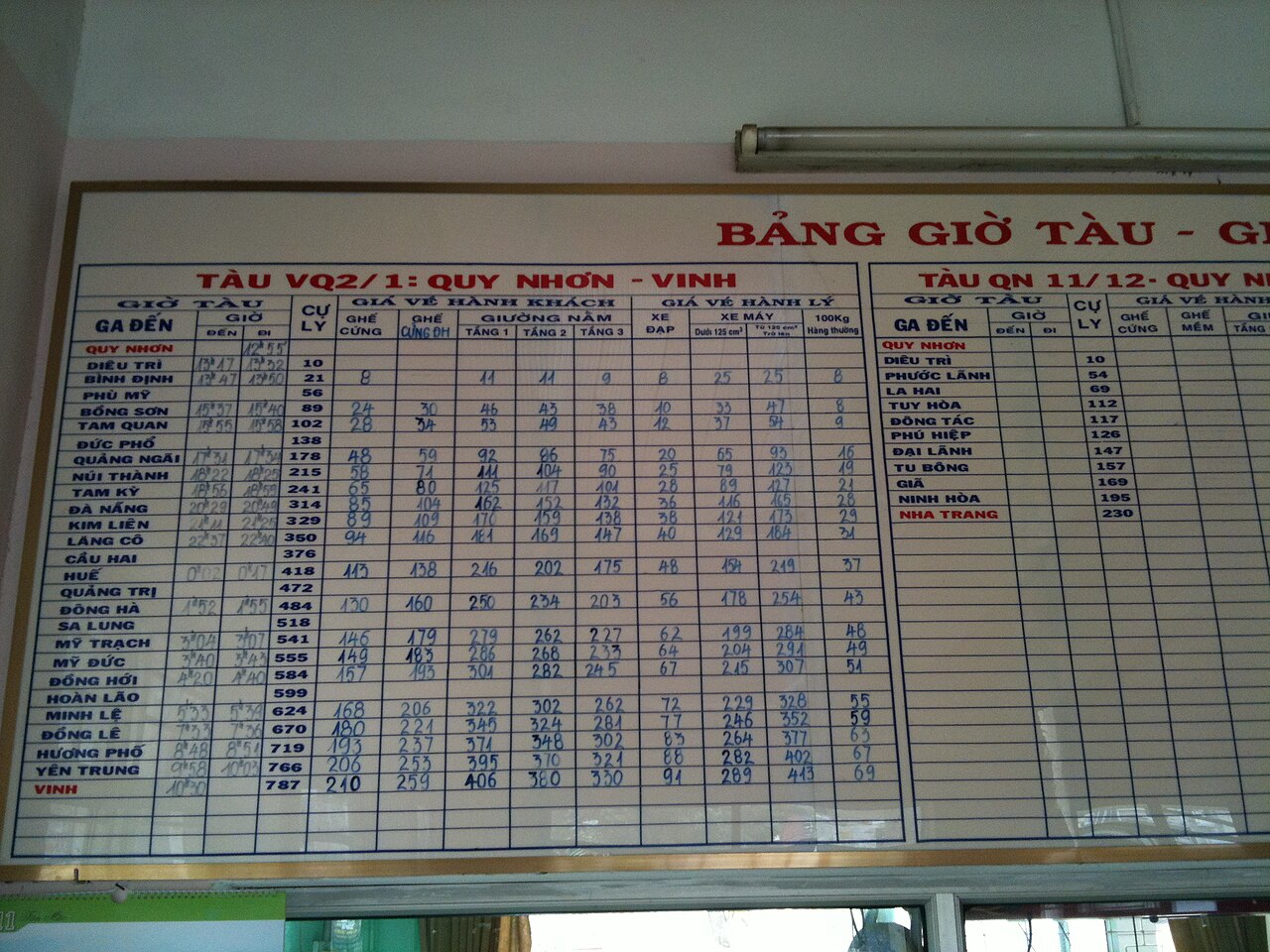
Within the region, distances between provincial capitals are substantial — Đà Lạt to Buôn Ma Thuột is roughly 190 km by road. Self-driving by motorbike is common among independent travellers; it allows access to secondary roads and villages that buses do not reach. Fuel stations are present in towns but can be spaced out in remote areas.
Key areas and what they offer
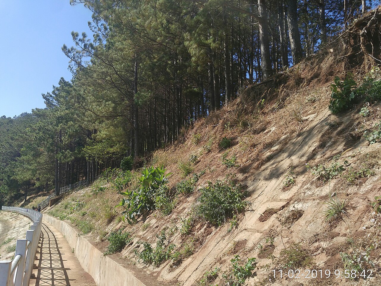
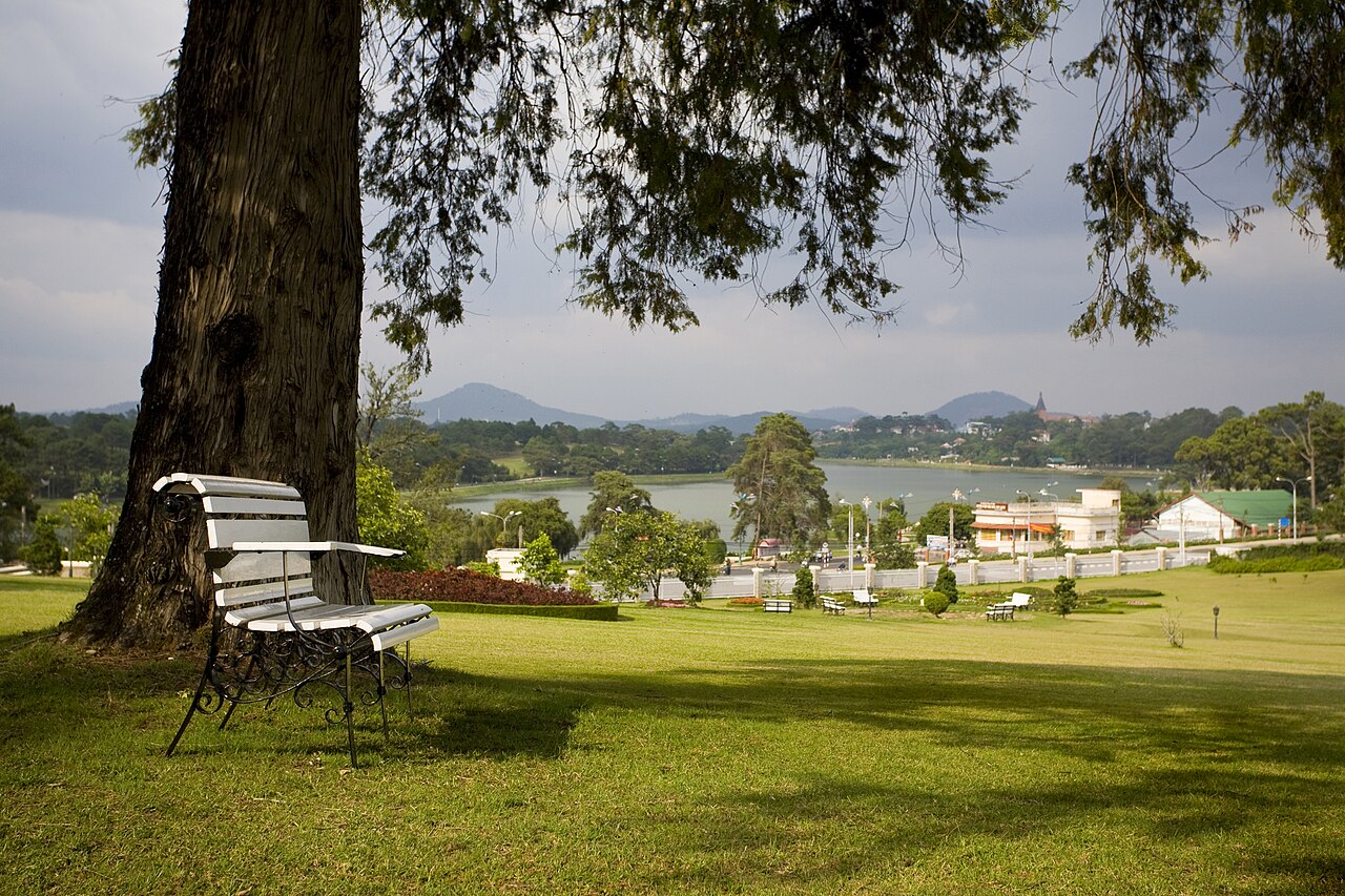
Đà Lạt (Lâm Đồng province) is the most visited city in the region, known for its French colonial-era architecture, flower farms, pine forests, and temperate climate. It has the densest concentration of accommodation, restaurants, and tour operators in the highlands.
Buôn Ma Thuột is the regional centre of coffee production and the largest city in the highlands by population. The Đắk Lắk Museum holds significant ethnographic collections. The nearby village of Buôn Jun on Lắk Lake offers access to M'Nông communities and elephant-keeping traditions, though the welfare conditions of working elephants vary and are a subject of ongoing scrutiny.
Kon Tum (Kon Tum province) retains a quieter atmosphere and has a notable concentration of Bahnar and Jarai villages within day-trip distance. The wooden Bahnar rong (communal house) at Kon Klor village is a frequently visited example of highland architecture.
Pleiku (Gia Lai province) is a transit and commercial hub; nearby Biển Hồ (T'Nưng Lake), a crater lake, and the Ia Ly waterfall are common day-trip destinations. The area also carries significant history from the Vietnam War period, particularly around the Ia Drang Valley.
What first-time visitors commonly get wrong
Underestimating distances. The highlands look compact on a national map but the roads are mountainous and slow. Planning to see Đà Lạt, Buôn Ma Thuột, and Kon Tum in two or three days is not realistic if the goal is to actually spend time in each place rather than just pass through.
Treating ethnic villages as tourist attractions without context. Some villages near towns have become accustomed to visitors; others have not. Turning up unannounced at a remote village, photographing ceremonies without permission, or expecting a curated experience are all likely to cause friction. Local guides from within the communities exist and make a significant difference to both access and understanding.
Assuming lowland weather. Even in the dry season, highland nights — particularly in Kon Tum and Đà Lạt between December and February — can be cold enough to require a jacket. Visitors arriving from beach destinations sometimes have no warm clothing at all.
Confusing administrative changes with geographic ones. The 2025 restructuring changed how the provinces are governed but did not rename or relocate towns, lakes, or cultural sites. Maps and place names visitors have researched remain valid.
Where to go in the Central Highlands
4 地点 Destination
Da LatĐà Lạt
Cool highland city, French villas, coffee, canyoning
 Destination
Mui NeMũi Né
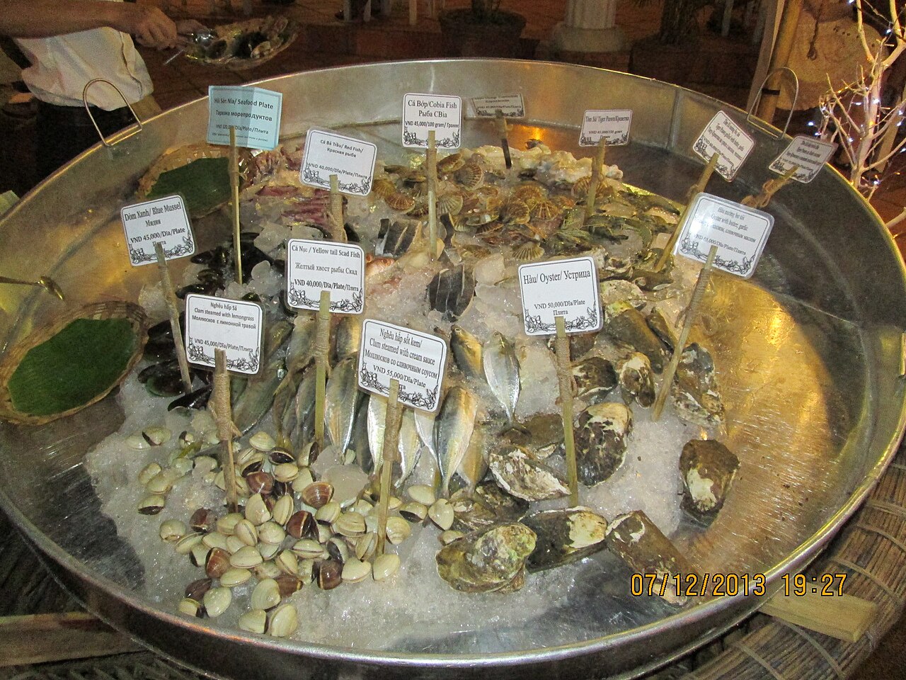
Red and white sand dunes, kitesurfing, fishing village
 Destination
Quy NhonQuy Nhơn
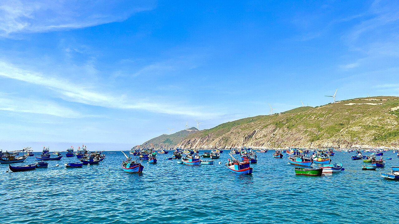
Quiet beaches, Cham towers, Ky Co and Eo Gio
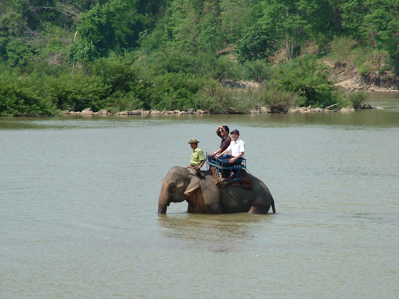 National Park
Yok Don National ParkVườn quốc gia Yok Đôn
Dry dipterocarp forest and Vietnam's ethical elephant programme
The provincial units today
What merged into what →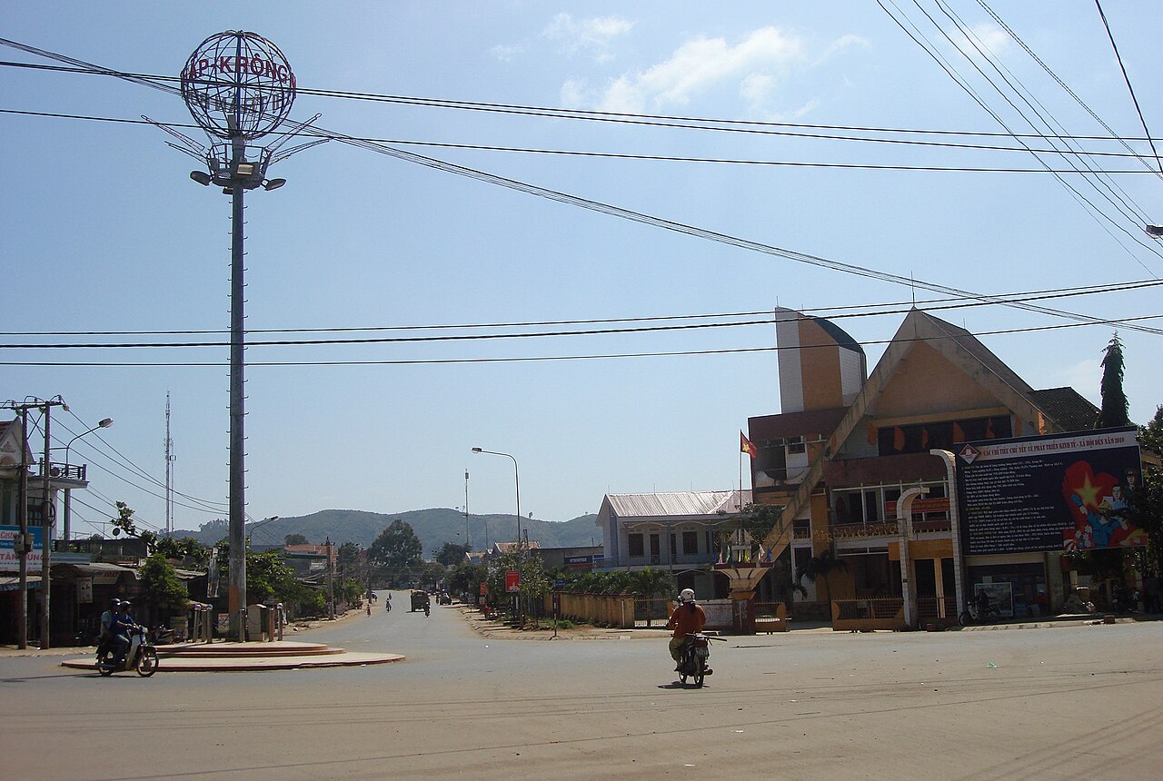 Province
Dak LakĐắk Lắk
Vietnam's coffee heartland in the Central Highlands, centred on Buon Ma Thuot and home to…
 Province
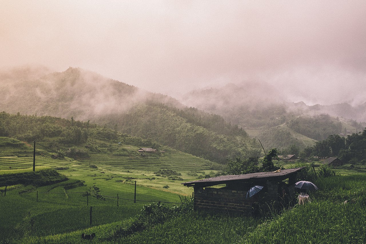
Gia Lai
Large Central Highlands province merging former Gia Lai and Binh Dinh, stretching from…
 Province
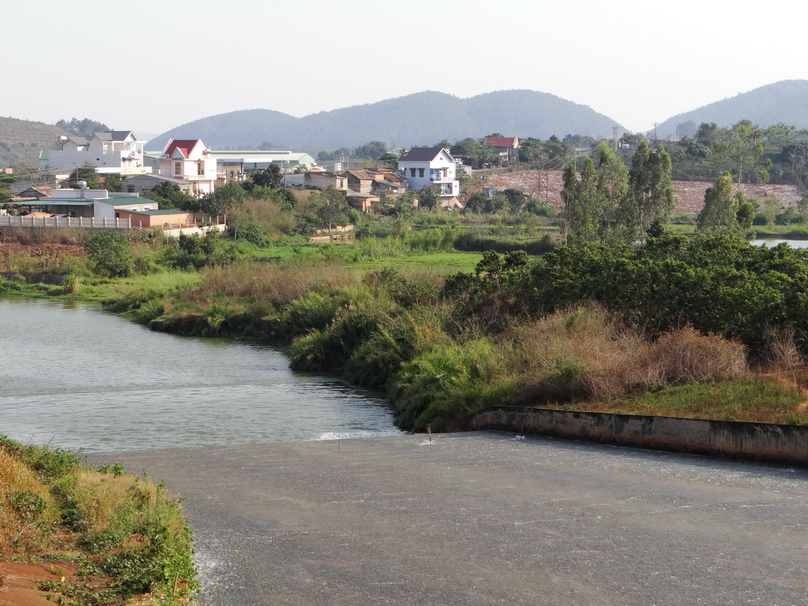
Lam DongLâm Đồng
Central Highlands province centred on Da Lat, covering cool plateaux, pine forests, coffee…
旧省份
Merged away in 2025 and kept as pages, because maps, guidebooks and booking sites still use these names.
 原单位
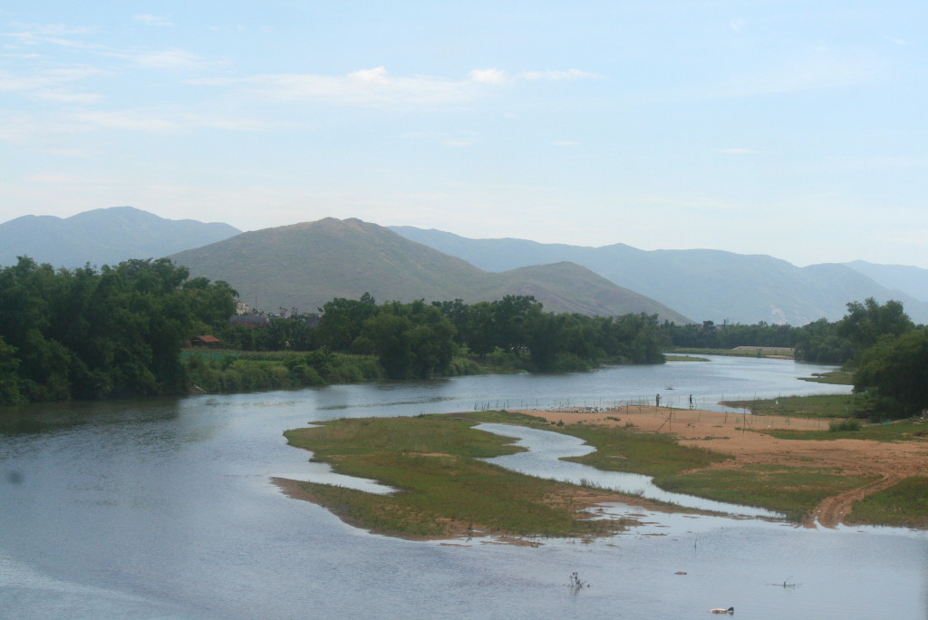
Binh DinhBình Định
Quy Nhon is in the former Binh Dinh.
 原单位
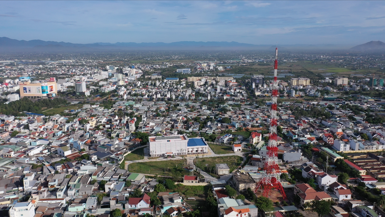
Binh ThuanBình Thuận
Mui Ne and Phan Thiet are in the former Binh Thuan.
 原单位
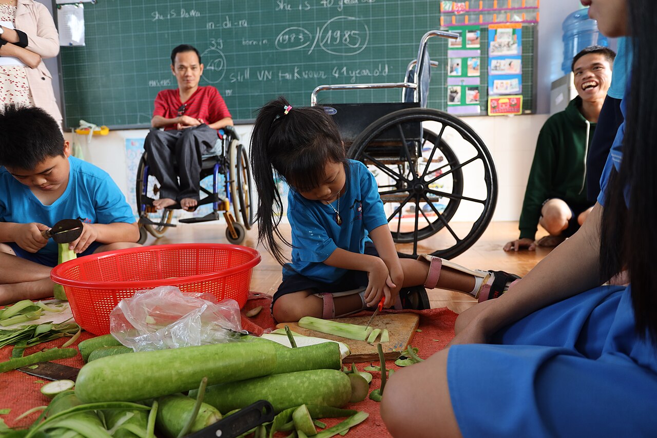
Dak NongĐắk Nông
Former Central Highlands province, now part of Lam Dong, known for volcanic landscapes…
 原单位
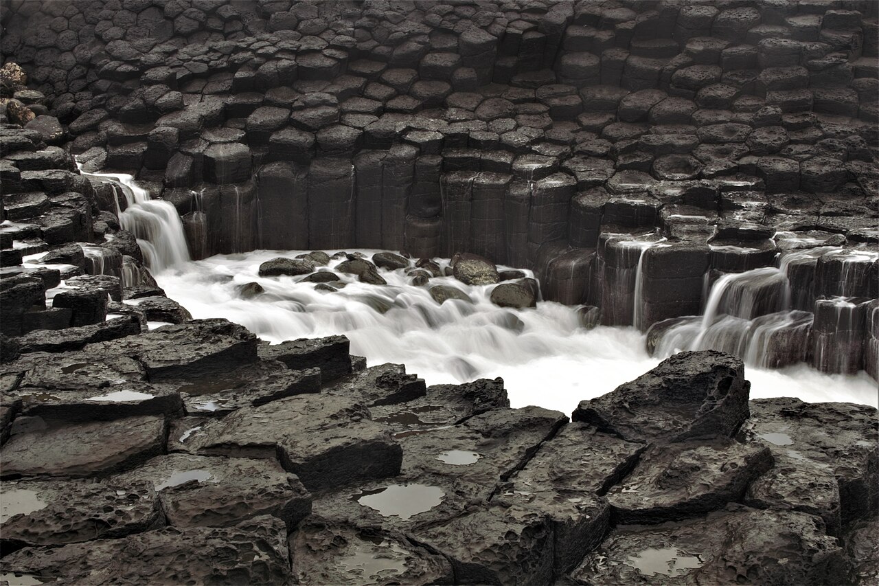
Phu YenPhú Yên
Coastal province on Vietnam's south-central coast, known for tuna, volcanic rock…
 原单位
Phan Thiết
South-central coastal city known for fish sauce, kite surfing and the Mũi Né beach strip…
 原单位
Pleiku
Highland city in central Vietnam, known for cooler temperatures, coffee cultivation and…
Picture credits (19)
Dray Nur Waterfall (49483462012), Sketyl none, CC BY 2.0, Wikimedia Commons · Biển Hồ, TP Pleiku, Gia Lai, Pxchanh, CC0, Wikimedia Commons · A ground hut of the central highlands in daklak Vietnam., DXLINH, CC BY-SA 3.0, Wikimedia Commons · Caosu, DXLINH, Public domain, Wikimedia Commons · Đà Lạt 2008, Jane Jean, CC BY 2.0, Wikimedia Commons · Quy Nhon Vinh train timetable, Dragfyre, CC BY-SA 3.0, Wikimedia Commons · Center of Buon Trap town, Y Kpia Mlo, CC BY-SA 3.0, Wikimedia Commons · Vietnam (Unsplash 4LYbjO hDDw), Lee Aik Soon aiksooon, CC0, Wikimedia Commons · Dap tran ho Cam Ly thuong (01), Tan218ntl, CC BY-SA 3.0, Wikimedia Commons · Đà Lạt năm 2013, sáng sớm nhìn qua cửa khách sạn (3), Phương Huy, CC BY-SA 4.0, Wikimedia Commons · Exotic seafood in 'Mui Ne' restaurants., Rudolph.A.Furtado, CC0, Wikimedia Commons · Nhon Ly, Quy Nhon, Vietnam (53001404016), Pulencio from Tarlac, Philippines, CC BY 2.0, Wikimedia Commons · Yokdon7, Đỗ Tuấn Hưng, CC BY-SA 3.0, Wikimedia Commons · Binh Dinh scenery, BertholdD, CC BY-SA 3.0, Wikimedia Commons · Toàn cảnh Đài PT-TH Bình Thuận, Đài Phát thanh - Truyền hình Bình Thuận, CC BY-SA 4.0, Wikimedia Commons · Cours de cuisine, Maison Chance Dak Nong, Juan 0293, CC BY-SA 4.0, Wikimedia Commons · Ghềnh đá đĩa phú yên, Việt Nguyễn, CC0, Wikimedia Commons · Balaenoptera physalus skeleton in the Van Thuy Tu Temple, Photographer: Mosbatho, CC BY 4.0, Wikimedia Commons · Catch (Unsplash), Larm Rmah larm, CC0, Wikimedia Commons