Overview
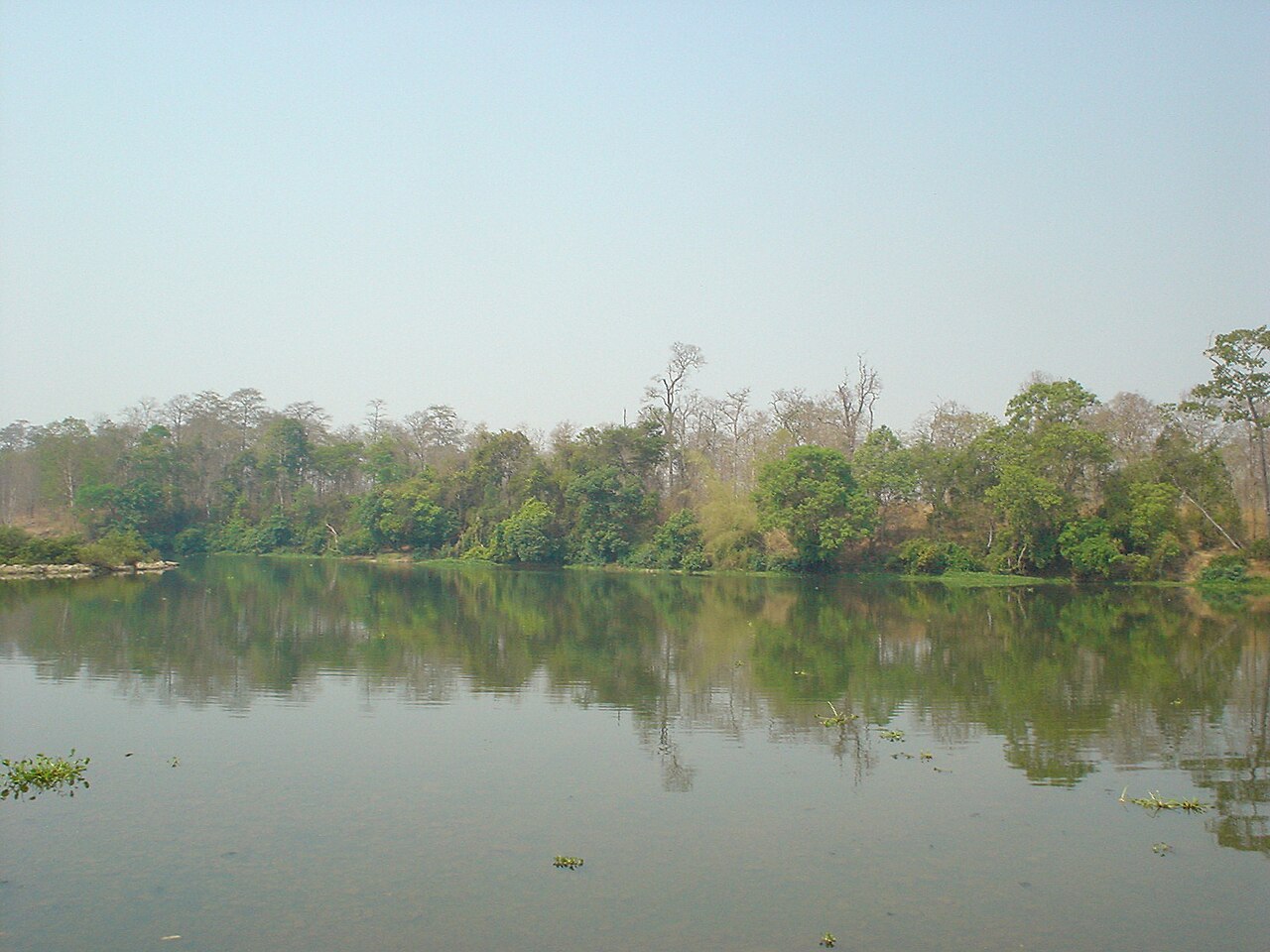
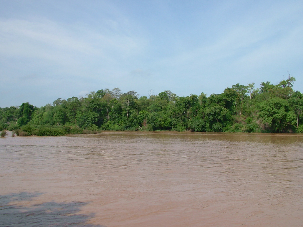
Yok Don National Park covers roughly 115,000 hectares in what is now Dak Lak province, abutting the Cambodian border along the Serepok River. It is the largest national park in Vietnam by area and one of the few places in the country protecting dry dipterocarp forest — a habitat more typical of mainland Southeast Asia than of Vietnam's wetter highlands. The park sits at a low elevation of around 191 metres on an undulating plateau, giving it a markedly different character from the cooler, misty ranges further east around Da Lat. Ethnic minority communities, including Mnong, Ede and Lao groups, have lived alongside this landscape for generations, and the nearby village of Ban Don retains visible traces of that history, including a royal elephant hunter's tomb and traditional stilt houses.
Elephants and ethical encounters
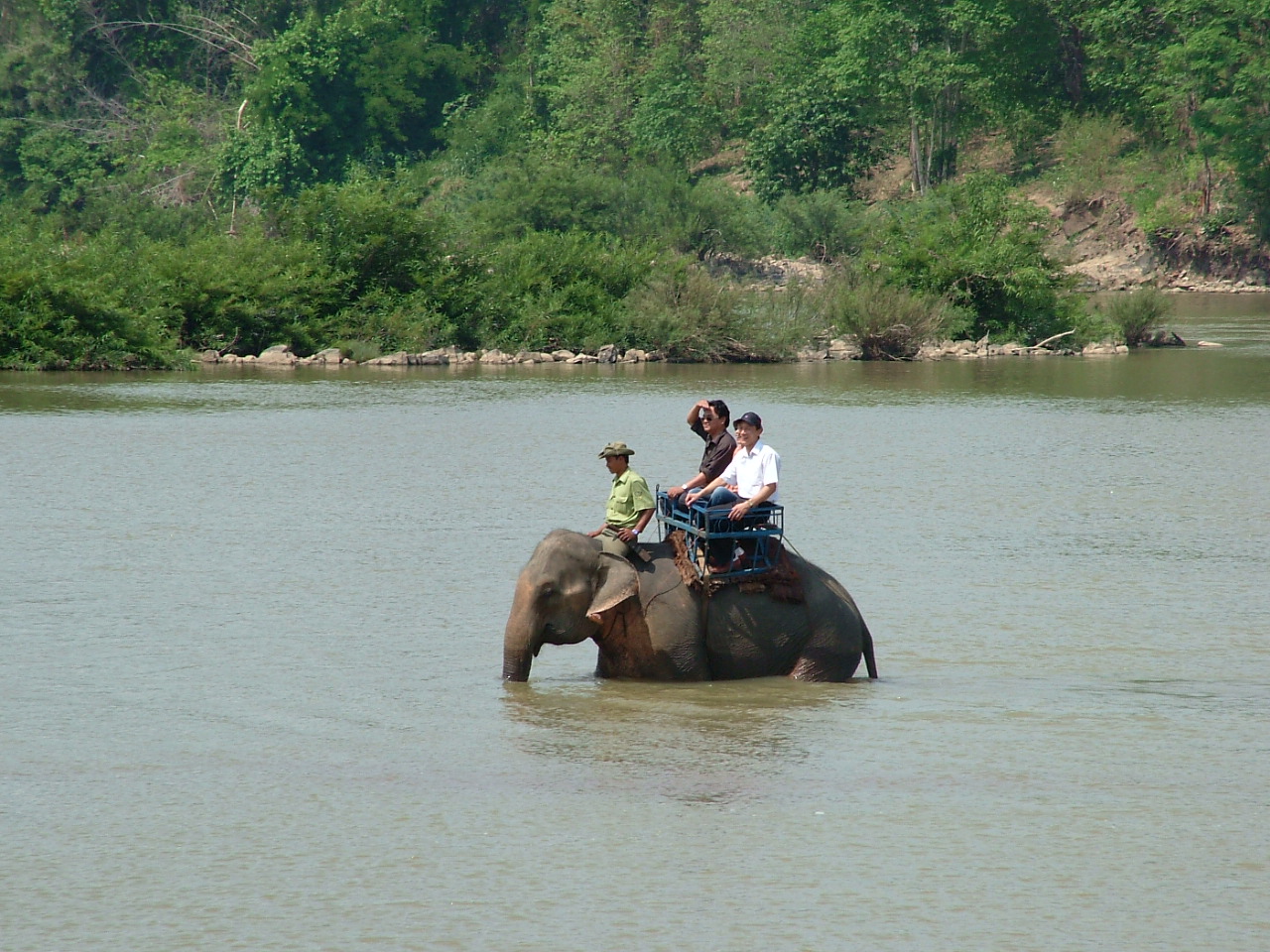
Yok Don became a focus of national attention when its management, in partnership with conservation organisations, phased out elephant riding and replaced it with observation-only walking encounters. Under the current programme, formerly captive elephants that spent decades in the logging and tourism trade are allowed to move through their forest habitat with minimal restraint. Visitors accompany the elephants and their mahout handlers on foot, observing behaviour at a distance rather than directing or mounting the animals.
The shift is significant because Vietnam has a long tradition of elephant capture and domestication in the Central Highlands, and Yok Don once held some of the last working elephants in the country. The number of elephants in the programme has varied as animals age or die; the situation is actively changing and visitors should check current arrangements with park management before travelling. The programme is managed through the park's visitor centre near the main gate.
Forest, wildlife and birding
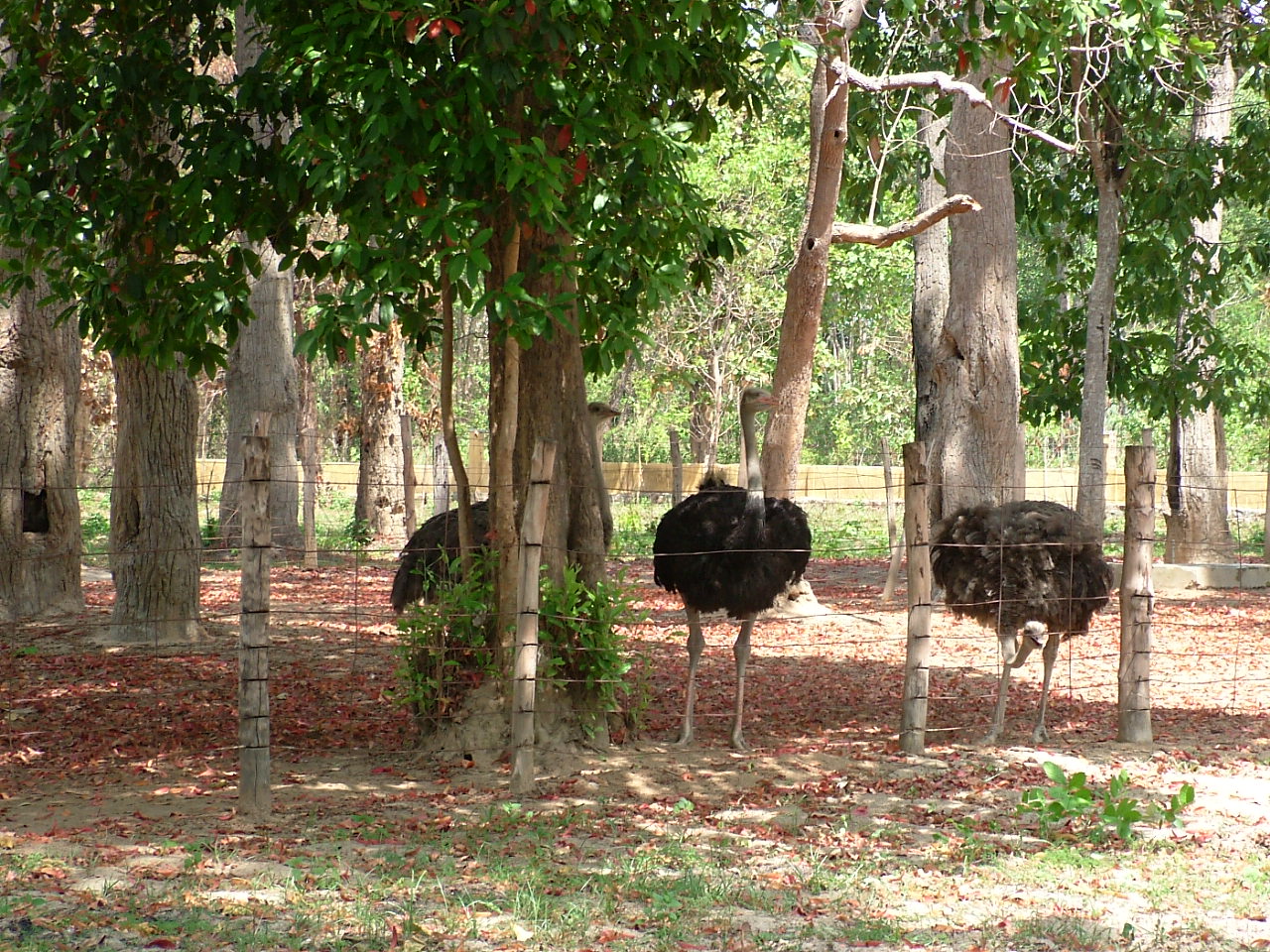
The dominant vegetation is dry dipterocarp woodland — open-canopied, seasonally deciduous forest with tall dipterocarps, sparse undergrowth and grassy clearings. This structure makes Yok Don easier to walk through than denser tropical forest and gives good sightlines for wildlife observation. The park holds gaur, wild boar, sambar deer, and smaller populations of large mammals including banteng, though sightings of large animals are uncommon and not guaranteed.
Birding is a stronger draw. The park's bird list includes dry-forest specialists rarely found elsewhere in Vietnam, among them Germain's peacock-pheasant, green peafowl and a range of hornbill species. The open dipterocarp habitat is particularly productive in the dry season when vegetation is thinner. Serious birders typically enter the forest before dawn with a licensed guide. The Serepok River corridor adds waterbirds and raptors to the list.
Ban Don and the Serepok River
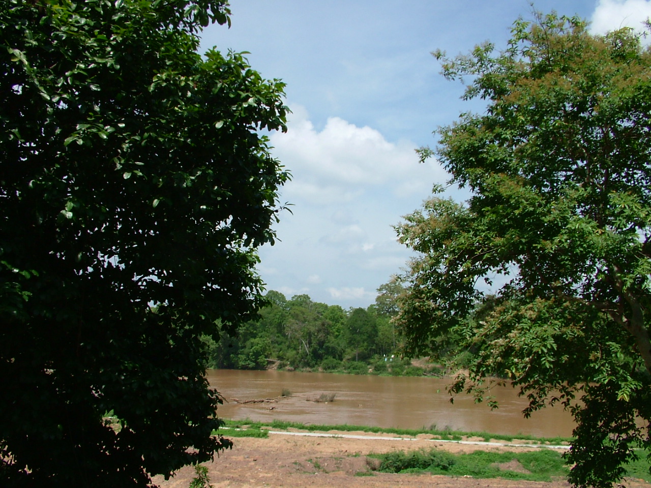
Ban Don village sits just outside the park boundary on the Serepok River and serves as the main staging point for park visits. The settlement is associated historically with elephant hunting and trading — the Mnong people of this area were regarded across the region as skilled elephant catchers, and the village became a trading post drawing Lao, Khmer and highland merchants. The tomb of the elephant hunter Khun Ju Nop, who reportedly captured hundreds of elephants over his lifetime including animals sold to foreign royalty, stands in the village and is a frequently visited site.
Wooden suspension bridges across the Serepok connect sections of the village and are themselves points of interest. Boat trips on the river are available through the park and village operators, and the riparian forest along the banks holds different species from the interior woodland.
Trekking and park access
All visitors entering the forest are required to be accompanied by a licensed park guide; independent trekking without a guide is not permitted. Permits are purchased at the park headquarters near the main entrance gate. Trails range from short riverside walks of two to three hours to multi-day routes that penetrate deeper into the forest, with basic ranger-station accommodation available for overnight treks. Longer routes require advance coordination with park management.
The park headquarters and visitor centre are located approximately 40 kilometres from Buon Ma Thuot, the nearest city and the main transport hub for the region. The standard approach is by road from Buon Ma Thuot, taking around one hour by car or motorbike. Motorbike hire is widely available in the city. There is no scheduled public bus service that terminates at the park gate; visitors arriving without private transport typically arrange a hired vehicle or join an organised tour from Buon Ma Thuot. The access road is sealed and in reasonable condition during the dry season.
See also: When to go: weather by region, Money, ATMs and cards, SIM cards and eSIMs.
Climate and best time to visit
Yok Don has a pronounced two-season climate. The dry season runs from November through April, with very low rainfall in the core months of December to March and temperatures climbing sharply through March and April, when afternoon highs exceed 35°C. Conditions in the dry season favour forest walking: trails are passable, vegetation is open and thinned by drought, and wildlife concentrates around remaining water sources.
The wet season runs from May through October. July and September are the wettest months, with rainfall heavy enough to make some trails impassable and the Serepok liable to flood. Humidity is high throughout this period, and leeches become active on forest paths. Birding remains productive in the early wet season as migratory species arrive, but access to deeper parts of the park may be restricted.
The most comfortable and productive window for most visits is November to February, when temperatures are moderate, rainfall is minimal and the forest takes on a dry-season character that suits both walking and wildlife observation. March and April remain dry but become very hot. For broader regional planning, see When to go: weather by region.
Practical notes
Accommodation near the park is limited. The park itself operates basic guesthouses at the headquarters area, and Ban Don village has a small number of homestay and lodge options. More extensive accommodation is available in Buon Ma Thuot, from which day trips to the park are straightforward. There are no ATMs at the park or in Ban Don; visitors should carry sufficient cash before leaving the city. See Money, ATMs and cards for guidance on cash in rural areas.
Mobile signal is available at the park headquarters and in Ban Don but becomes unreliable on forest trails. Download offline maps before arrival. Vietnamese e-visa holders should confirm their visa details before travel; see Vietnam e-visa. Yok Don is within Dak Lak province; the nearest large neighbours are Gia Lai to the north and Kon Tum further north again, both accessible by road from Buon Ma Thuot.
महीने के अनुसार जलवायु
दीर्घकालिक औसत, पूर्वानुमान नहीं। संदर्भ अवधि: 2015–2024. स्रोत: ERA5 reanalysis (Copernicus) via the Open-Meteo archive API.
Show the numbers
| महीना | उच्च °C | न्यूनतम °C | वर्षा मिमी | वर्षा दिवस | Humidity % |
|---|---|---|---|---|---|
| January | 30.7 | 19.9 | 12 | 2 | 66 |
| February | 33.0 | 20.4 | 7 | 2 | 60 |
| March | 35.8 | 22.3 | 21 | 3 | 58 |
| April | 35.9 | 23.8 | 73 | 9 | 64 |
| May | 33.9 | 24.0 | 238 | 23 | 78 |
| June | 31.9 | 23.4 | 223 | 25 | 83 |
| July | 30.8 | 23.1 | 300 | 29 | 86 |
| August | 31.1 | 23.2 | 232 | 28 | 84 |
| September | 30.7 | 22.7 | 306 | 28 | 87 |
| October | 30.3 | 22.2 | 240 | 21 | 84 |
| November | 30.4 | 21.8 | 93 | 10 | 77 |
| December | 29.5 | 20.5 | 24 | 4 | 72 |
Where it is
Also known as / see also
आस-पास
संदर्भित
स्रोत
- ERA5 climate normals — Copernicus / Open-Meteo (CC BY 4.0) accessed 30 August 2026
Supports: monthly temperature and rainfall normals, and elevation - Vietnam National Authority of Tourism — VNAT accessed 29 August 2026
Supports: the rules and definitions on this page - Vườn quốc gia Yok Đôn — Wikipedia (Vietnamese) (CC BY-SA 4.0) accessed 31 August 2026
Supports: background, Vietnamese edition
Current अंतिम सत्यापन: 31 August 2026. Rules, fares and prices change — check the official source before acting on anything here. Report a mistake.
Picture credits (5)
Yokdon8, Đỗ Tuấn Hưng, CC BY-SA 3.0, Wikimedia Commons · Yokdon01, Đỗ Tuấn Hưng, CC BY-SA 3.0, Wikimedia Commons · Yokdon4, Đỗ Tuấn Hưng, CC BY-SA 3.0, Wikimedia Commons · Yokdon7, Đỗ Tuấn Hưng, CC BY-SA 3.0, Wikimedia Commons · Yokdon03, Đỗ Tuấn Hưng, CC BY-SA 3.0, Wikimedia Commons