The place itself has not changed, and this page continues to cover it.
National Assembly Resolution 202/2025/QH15 on the rearrangement of provincial-level administrative units
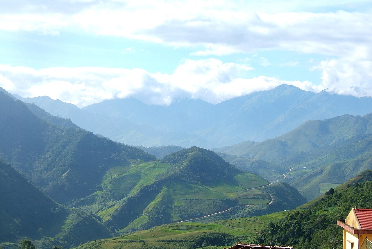
Yen Bai province occupied a stretch of the northwestern highlands, bordered by the Red River valley and rising into rugged terrain toward the Chinese frontier. On 1 July 2025, under Vietnam's nationwide consolidation of provinces, Yen Bai was dissolved and its territory merged into the new, enlarged Lao Cai province. The places, landscapes and communities that defined Yen Bai remain; only the administrative boundary has changed.
Administrative status
Yen Bai no longer exists as a separate administrative unit. The National Assembly resolution on the rearrangement of provincial-level administrative units, effective 1 July 2025, merged Yen Bai with Lao Cai province. Vietnam simultaneously abolished the district tier, moving to a two-tier system in which provinces govern communes and wards directly.
All references to Yen Bai province in official documents, maps and signage produced before that date remain historically valid but no longer reflect the current structure. For current administrative and practical information, see Lao Cai.
What the area is known for
The territory that was Yen Bai province is associated with several distinct features:
- Thac Ba Lake: One of the largest reservoirs in Vietnam, formed by the Thac Ba hydroelectric dam on the Chay River. The lake is dotted with forested islands and is used for fishing and boat excursions.
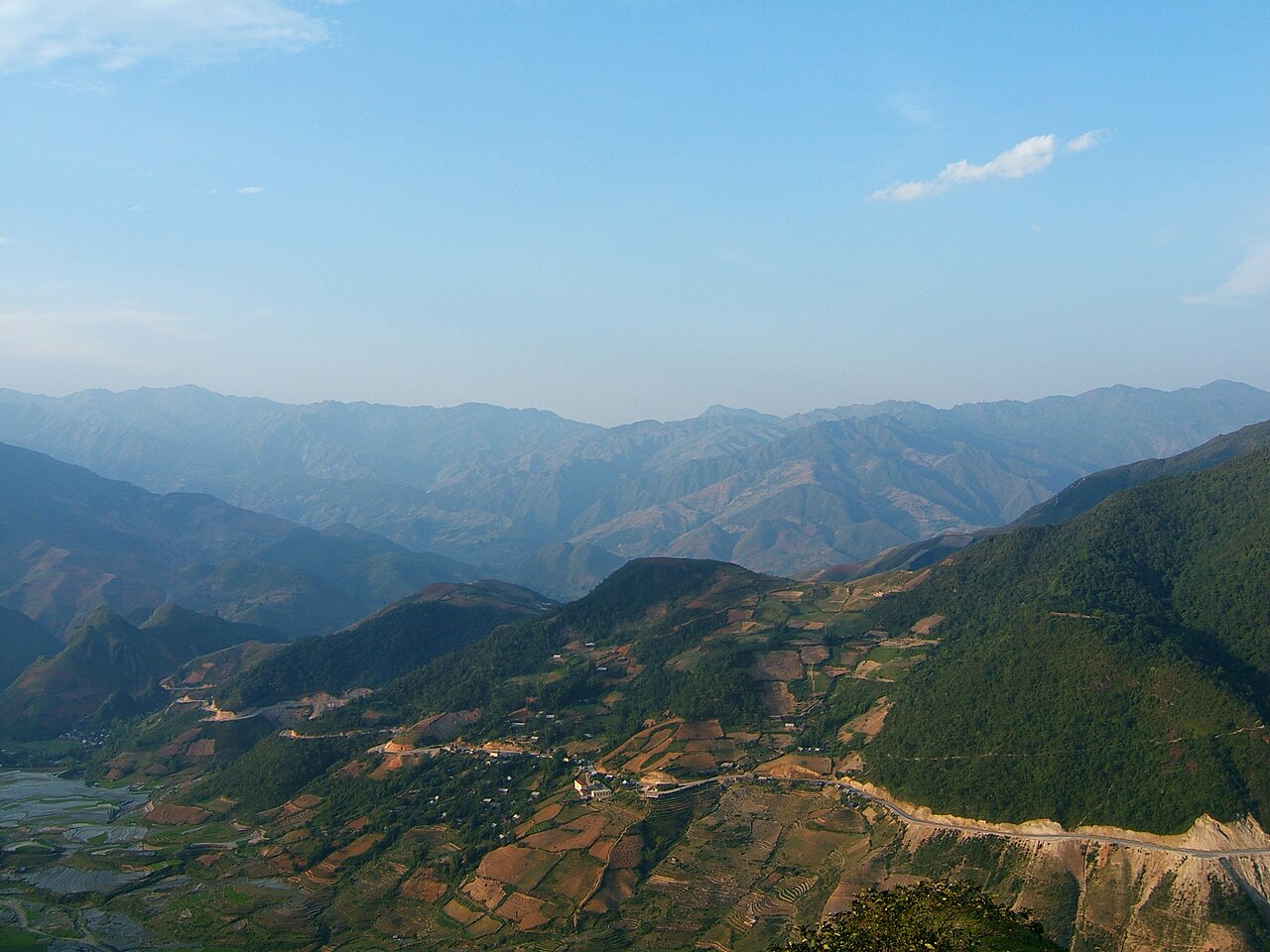
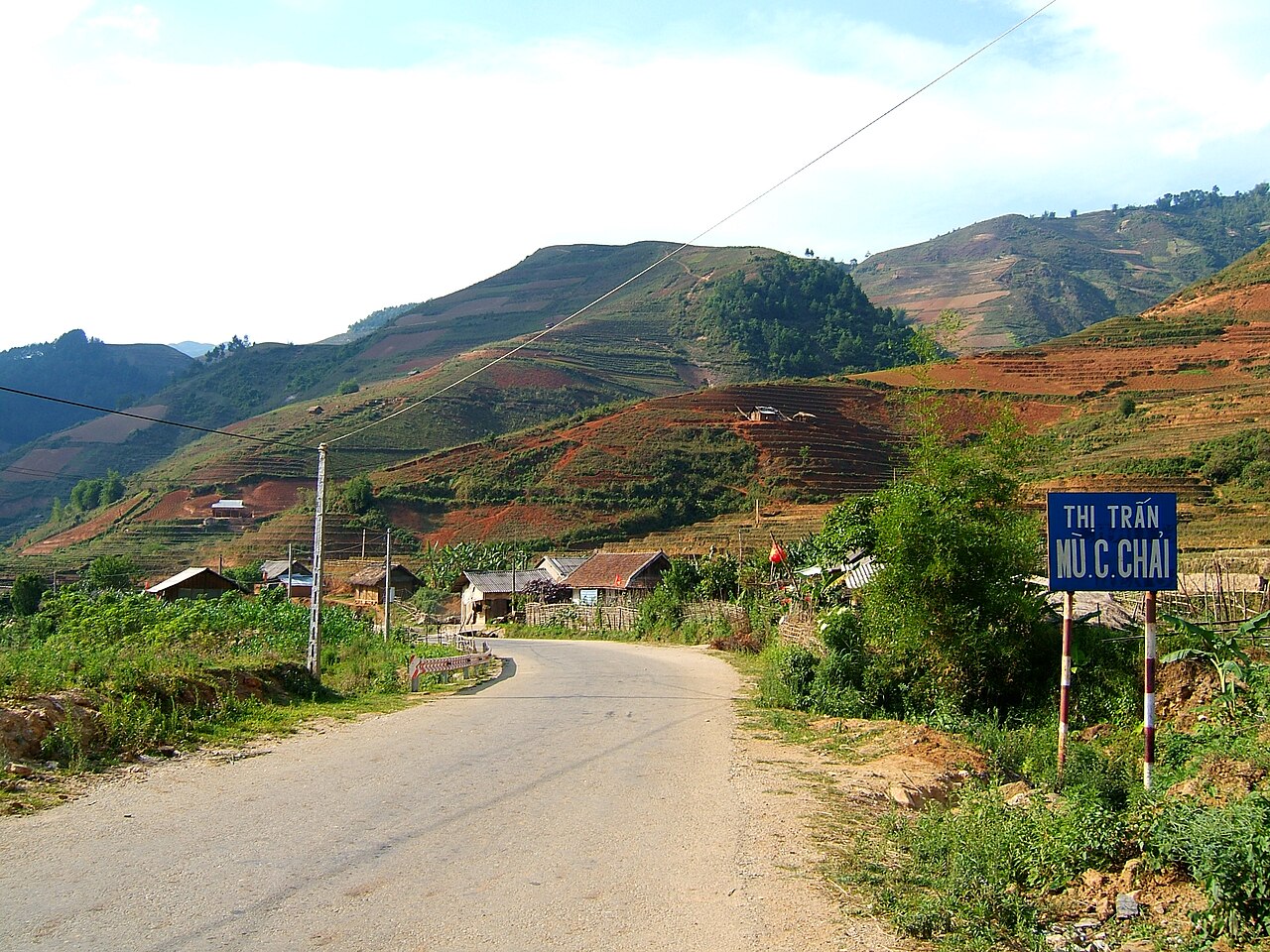
- Mu Cang Chai terraced fields: Cascading rice terraces in the high valleys, particularly dramatic in the transplanting and harvest seasons. The area is home to Hmong farming communities and has been recognised as a national scenic heritage site.
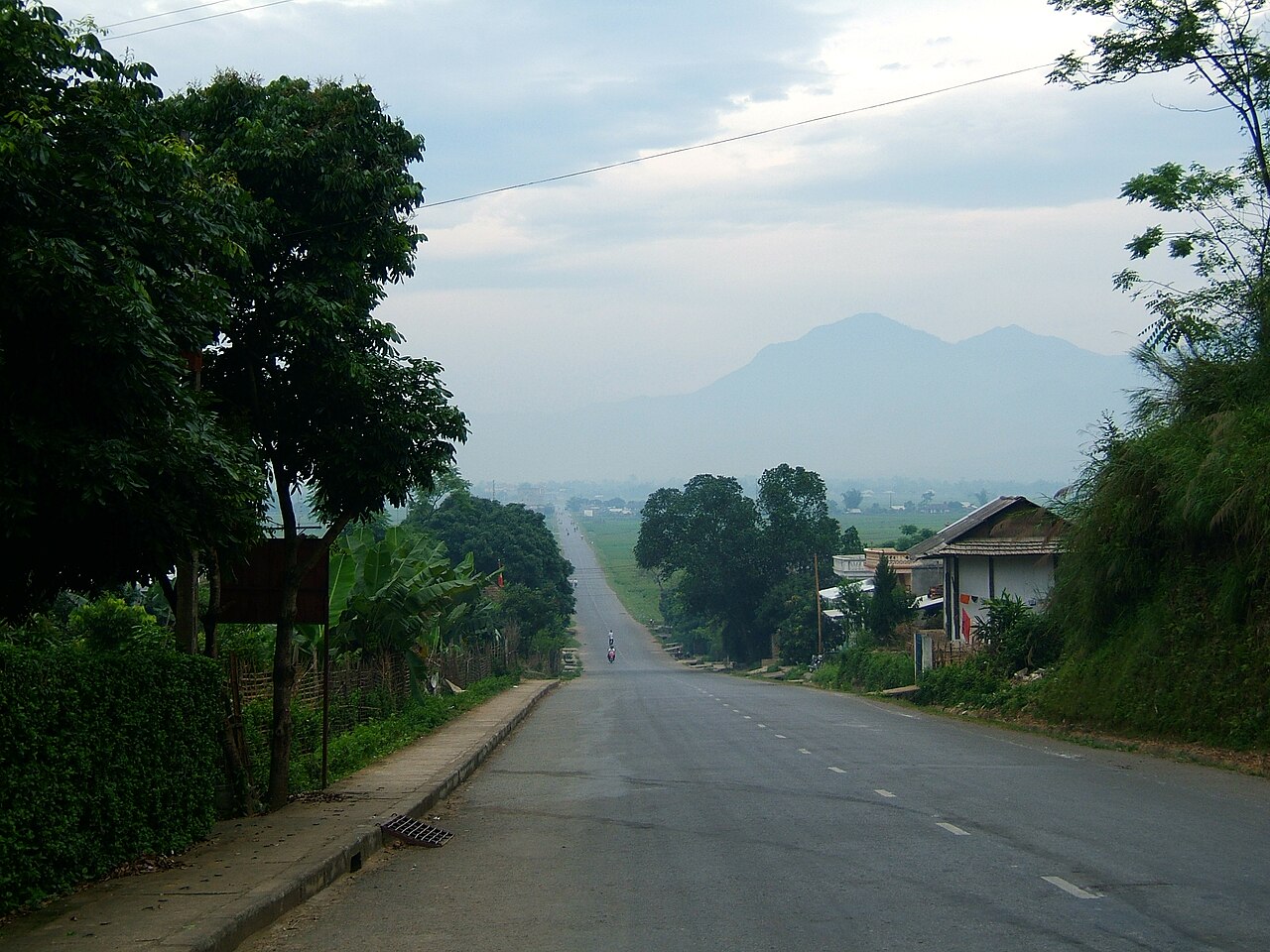
- Nghia Lo town: A market town in the Muong Lo valley, historically significant as a centre for Thai ethnic culture and as a base for exploring the surrounding uplands.
- Cinnamon and tea production: The highland slopes support commercial cinnamon cultivation and tea gardens, and these agricultural products are traded widely across Vietnam.
When to go
The northwest highlands have two broad seasons. The dry and cool period runs roughly from October to March, with temperatures in higher elevations falling noticeably at night. The wet season, from around May to September, brings heavy rainfall and the risk of landslides on mountain roads.
The most photographed period at Mu Cang Chai is late September to early October, when the rice is at its golden ripeness before harvest. A second notable period is May to June, when the terraces are flooded and reflecting light during transplanting. Both times see significant visitor numbers and accommodation in the area books up.
Road travel in the wet season requires flexibility; mountain passes can become impassable after heavy rain, and itineraries should allow for delays.
Getting there and away
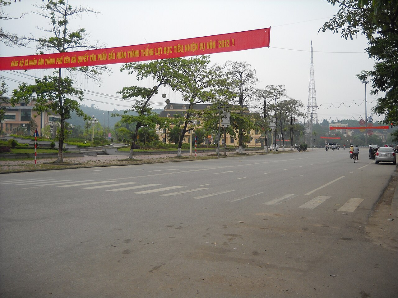
The former provincial capital, Yen Bai city, sits on the Red River and is connected by rail to Hanoi on the Hanoi–Lao Cai line. Journey times vary by train class and service. Road access from Hanoi follows National Highway 32 into the highlands, or travellers may use the expressway toward Lao Cai city and branch south.
Mu Cang Chai is reached via a mountain road from Nghia Lo and involves significant elevation gain. Motorbike travel is common among those already comfortable with Vietnamese mountain roads; the gradients and hairpin bends are not suitable for inexperienced riders.
Bus services connect Yen Bai city to Hanoi and to other towns in the region. Following the 2025 administrative merger, provincial transport coordination falls under Lao Cai province.
Places to stay and how areas differ
Accommodation across the former province ranges from guesthouses and small hotels in Yen Bai city and Nghia Lo to homestays in Hmong and Thai villages around Mu Cang Chai and the Muong Lo valley.
Yen Bai city offers the most conventional hotel infrastructure and is a practical transit point rather than a destination in itself. Nghia Lo is smaller and serves as the main base for the Muong Lo plain; accommodation there is modest but functional. Around Mu Cang Chai, village homestays allow guests to stay with farming families, though facilities are basic and advance arrangement is advisable, particularly around the harvest season when demand is highest.
Visitors focusing on the lake at Thac Ba will find guesthouses in Yen Bai city and some floating accommodation on the water, depending on season and availability.
Common misunderstandings
The province no longer appears on current maps. Since 1 July 2025, Yen Bai is part of Lao Cai province. Travellers using older maps or navigation applications that have not been updated may encounter the former provincial boundaries. The physical places have not moved.
Mu Cang Chai is not easily combined with Sapa in a single short trip. Although both were historically in adjacent provinces and are associated with terraced landscapes, they lie in different valleys and the road between them is slow mountain travel. Treating them as a simple loop from Hanoi requires several days.
Highland road conditions vary sharply by season. Routes that are straightforward in the dry months can be dangerous in the rainy season. Local conditions should be checked before departure, particularly for the passes above Nghia Lo.
月別気候
長期平均値であり、予報ではありません。 参照期間: 2015–2024. 出典: ERA5 reanalysis (Copernicus) via the Open-Meteo archive API.
Show the numbers
| 月 | 最高気温 °C | 最低気温 °C | 降水量(mm) | 雨天日数 | Humidity % |
|---|---|---|---|---|---|
| January | 17.6 | 12.1 | 112 | 17 | 87 |
| February | 19.0 | 13.3 | 83 | 14 | 85 |
| March | 22.9 | 16.9 | 159 | 20 | 88 |
| April | 26.0 | 19.6 | 187 | 18 | 86 |
| May | 28.4 | 22.2 | 331 | 22 | 86 |
| June | 29.8 | 23.7 | 284 | 22 | 86 |
| July | 29.3 | 23.6 | 356 | 25 | 87 |
| August | 28.8 | 23.3 | 494 | 27 | 88 |
| September | 27.7 | 22.3 | 361 | 24 | 86 |
| October | 25.1 | 19.7 | 239 | 17 | 82 |
| November | 22.7 | 16.9 | 104 | 12 | 83 |
| December | 18.0 | 12.4 | 73 | 12 | 82 |
Places within Yen Bai
現在は一部
参照元
出典
- ERA5 climate normals — Copernicus / Open-Meteo (CC BY 4.0) アクセス日 30 August 2026
Supports: monthly temperature and rainfall normals, and elevation - Yen Bai (Q36349) — Wikidata (CC0 1.0) アクセス日 30 August 2026
Supports: coordinates, area, population - Yen Bai — Wikipedia (CC BY-SA 4.0) アクセス日 30 August 2026
Supports: background
Current 最終確認: 29 August 2026. Rules, fares and prices change — check the official source before acting on anything here. Report a mistake.
Picture credits (5)
Trạm Tấu, Yên Bái road, Viethavvh, Public domain, Wikimedia Commons · Khau Phạ, Viethavvh, Public domain, Wikimedia Commons · Mu Cang Chai, Viethavvh, Public domain, Wikimedia Commons · Nghĩa Lộ road, Viethavvh, Public domain, Wikimedia Commons · Một góc TP.Yên Bái, vi:User:ASM~viwiki, CC BY-SA 3.0, Wikimedia Commons