2025 constitutional amendment and Law on Organisation of Local Government establishing a two-tier local government
Administrative status
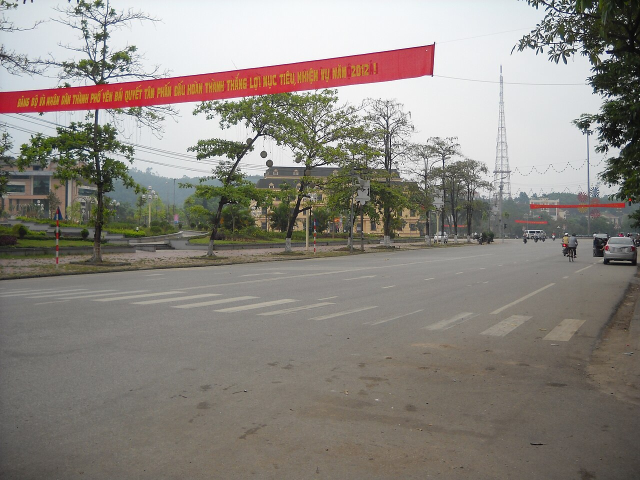
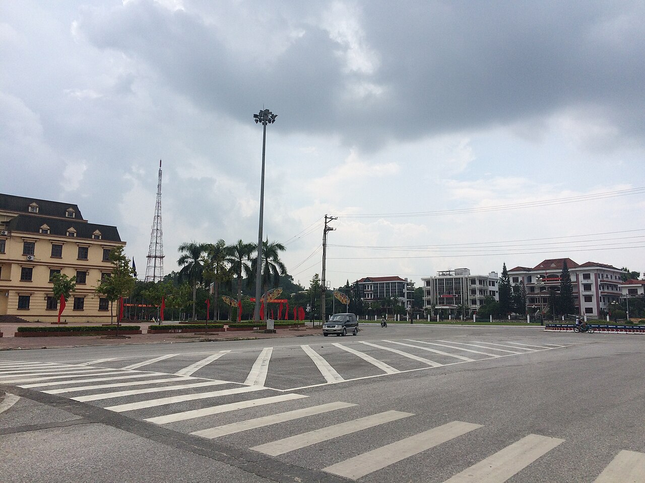
Yên Bái city was a provincial-level city (thành phố trực thuộc tỉnh) within Yên Bái province until 30 June 2025. On 1 July 2025, Vietnam restructured its administrative system from three tiers to two, merging many provincial units and abolishing the district tier entirely. As a result, Yên Bái city ceased to exist as a distinct administrative designation. Governance of the area now falls under Yên Bái province, which handles matters directly at the province and commune levels.
This administrative change does not mean the city has moved, been renamed or altered in any physical sense. The streets, neighbourhoods, landmarks and communities that made up Yên Bái city remain exactly where they were. References to "Yên Bái city" in older documents, maps or signage simply reflect the previous administrative framework.
Character and setting
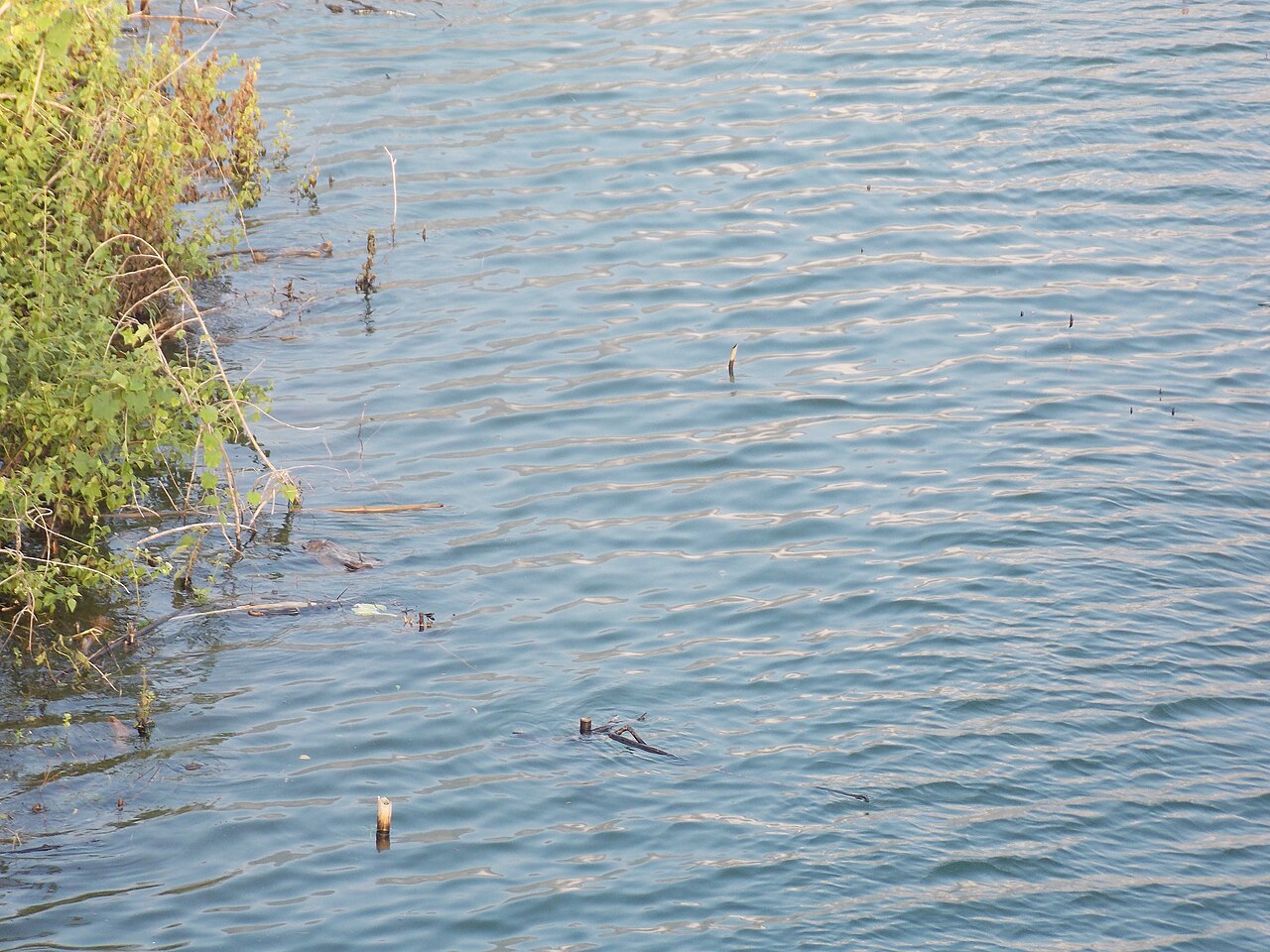
Yên Bái sits on the southern bank of the Red River (Sông Hồng), approximately 180 km northwest of Hanoi along the Hanoi–Lào Cai corridor. The city occupies a narrow riverside plain backed by low hills, giving it a more compact and river-defined character than many other northwest urban centres.
The local economy has historically combined timber processing, tea cultivation and ceramic tile manufacturing with its role as a transport and commercial hub for the surrounding highlands. The city is notably associated with Văn Yên cinnamon (quế Văn Yên), a variety of cassia cinnamon grown in the hills of the wider province and considered among the most aromatic produced in Vietnam. Dried cinnamon bark, cinnamon oil and processed cinnamon products are traded and sold throughout the city's markets.
Getting there and away
Yên Bái lies on the main Hanoi–Lào Cai railway line, one of the busiest in northern Vietnam. Several overnight and daytime trains stop here, making it accessible from both Hanoi to the southeast and Lào Cai to the northwest. Journey times and schedules change seasonally; check current timetables directly with Vietnam Railways or a reputable booking platform.
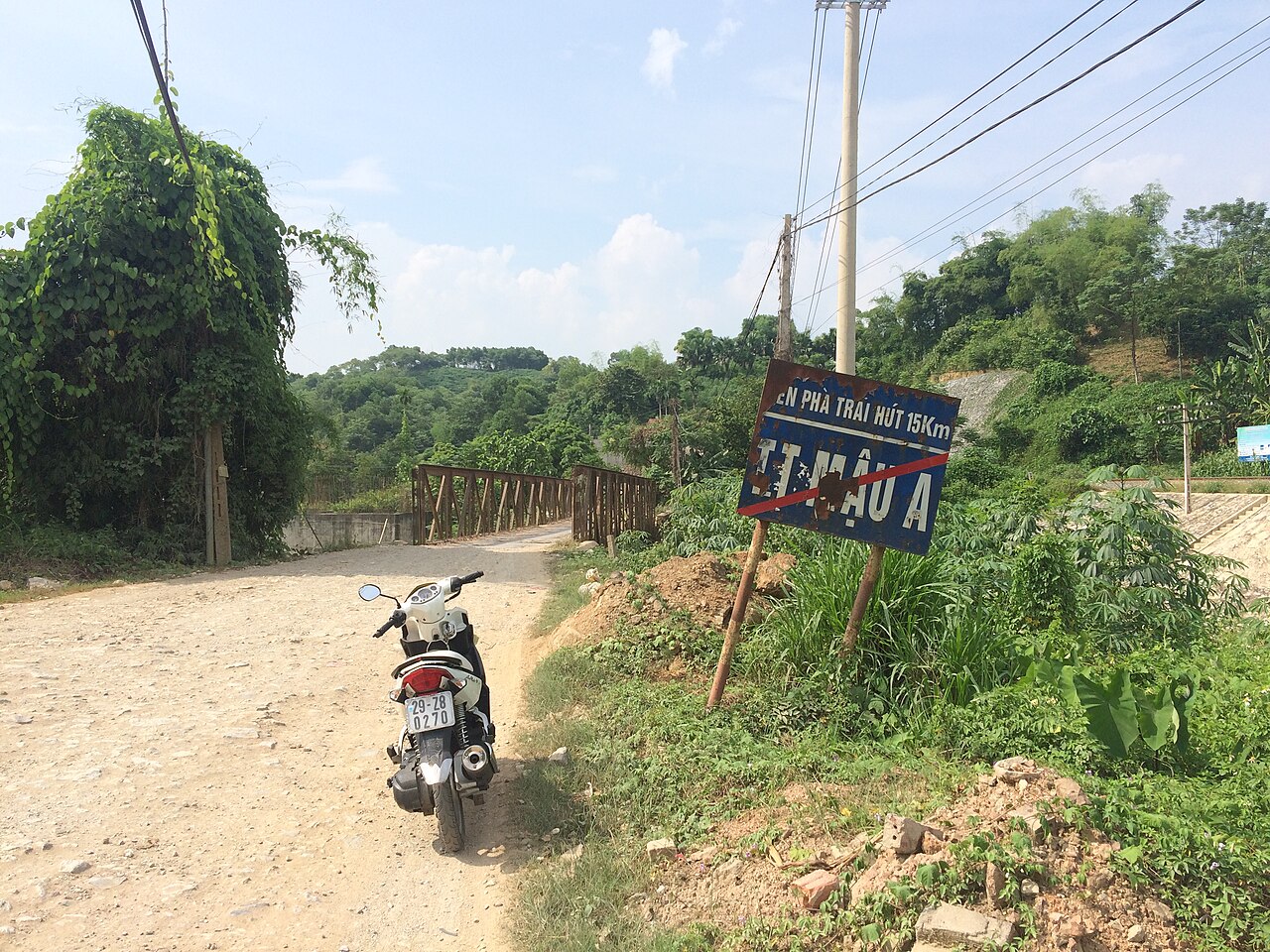
By road, National Highway 32 and the expressway system connect Yên Bái to Hanoi. Open-tour buses and sleeper coaches operate along this corridor, as do shared minibuses serving smaller settlements in the hills. The city also functions as a staging point for travellers heading toward Mù Cang Chải and the terraced rice landscapes to the west, which are reached by continuing along Highway 32.
There is no commercial airport serving the city directly.
When to visit
The northwest has a distinct seasonal pattern that affects Yên Bái and the areas around it. September and October are widely considered the most visually striking months in the broader region, when terraced rice fields at higher elevations ripen to gold before harvest. May and June bring flooded terraces filled with water, which produce a different but equally noted landscape effect.
The dry and cooler months from November to February offer clearer skies and easier travel conditions, though temperatures at higher elevations can drop significantly. July and August bring the heaviest rains, and landslides on mountain roads are a real risk during this period. Yên Bái city itself, sitting at relatively low elevation, is less affected by extreme cold than the highlands but does experience humid summer heat and occasional flooding from the Red River.
Points of interest
Within the city, the Yên Bái Market (Chợ Yên Bái) is the main commercial centre, selling highland produce including cinnamon, medicinal herbs, dried mushrooms and local textiles. The market reflects the ethnic diversity of the wider province, with goods associated with the Tày, Dao, Mông and Kinh communities who inhabit the region.
The Red River embankment is a functional public space used for morning exercise and evening gatherings. The river itself is wide and brown with sediment for much of the year.
The city is more commonly used as a base or overnight stop than as a destination in its own right. Travellers moving toward Mù Cang Chải to the west, or exploring the tea-growing areas and lake at Thác Bà to the east, often pass through or stay a night in Yên Bái. Thác Bà Lake is one of the largest artificial reservoirs in Vietnam and was created by a hydroelectric dam completed in 1971.
Accommodation and neighbourhoods
Accommodation in Yên Bái city is concentrated near the railway station and along the main commercial streets running parallel to the river. Options range from budget guesthouses frequented by domestic travellers to mid-range hotels catering to business visitors and government delegations. There is no established luxury hotel sector. Prices vary by season and local demand.
The area around the station is noisier and more transit-oriented, while streets a few blocks inland tend to be quieter. The riverside embankment area has seen some development of cafés and small restaurants in recent years.
Common misunderstandings
The most common point of confusion is the relationship between Yên Bái city and Yên Bái province. They share a name, which leads travellers to assume that booking accommodation in "Yên Bái" means they will be near attractions such as the Mù Cang Chải terraces. Those landscapes are roughly 150 km further west along a mountain road that takes several hours to drive. Yên Bái city is the provincial capital, not a gateway in the immediate sense.
A second misunderstanding concerns the administrative change of July 2025. The city no longer appears as a separate administrative unit in official records, but this has no practical effect on navigation, postal addresses in common use, or the physical layout of the place. Travellers using maps or transport apps should continue to search for Yên Bái normally.
Where it is
Kaynaklar
- Yên Bái (Q26019) — Wikidata (CC0 1.0) erişildi 30 August 2026
Supports: coordinates, area, population - Yên Bái — Wikipedia (CC BY-SA 4.0) erişildi 30 August 2026
Supports: background
Current Son doğrulama: 31 August 2026. Rules, fares and prices change — check the official source before acting on anything here. Report a mistake.
Picture credits (4)
Một góc TP.Yên Bái, vi:User:ASM~viwiki, CC BY-SA 3.0, Wikimedia Commons · Tiên Ông, CC BY-SA 3.0, Wikimedia Commons · Nhật nguyệt, CC BY-SA 3.0, Wikimedia Commons · Tiên Ông, CC BY-SA 3.0, Wikimedia Commons