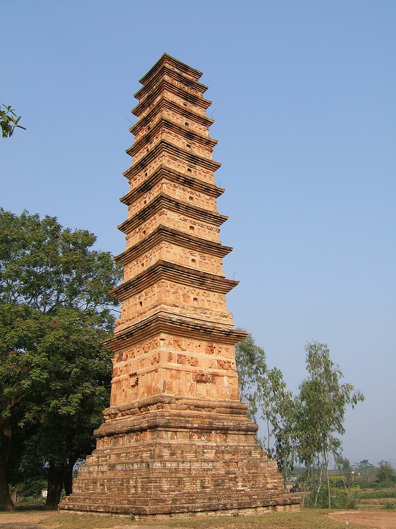
The place itself has not changed, and this page continues to cover it.
National Assembly Resolution 202/2025/QH15 on the rearrangement of provincial-level administrative units
Vĩnh Phúc (Vinh Phuc) was a province in Vietnam's northeastern region, sitting between Hanoi and the Red River Delta's northern edge. It combined lowland industrial corridors with the forested Tam Dao range to the north. On 1 July 2025, under the National Assembly's province-consolidation programme, Vinh Phuc was dissolved and absorbed into Phu Tho province.
Administrative status
Vinh Phuc ceased to exist as a distinct administrative unit on 1 July 2025, when Vietnam's National Assembly restructured the country from 63 provinces and centrally-governed cities into 34. The territory formerly governed as Vinh Phuc now falls within Phu Tho. The district tier has also been abolished nationally; the operative units below province level are now communes and wards. References to Vinh Phuc in older maps, business registrations or travel literature should be understood in this historical context. The places themselves — including Tam Dao town — have not moved or been renamed.
What Vinh Phuc was known for
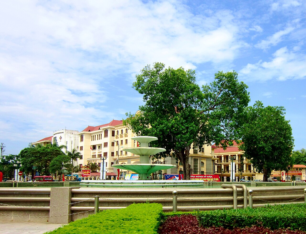
The province occupied a dual identity. Its southern lowlands developed rapidly into one of Vietnam's busier manufacturing belts, with large industrial parks attracting automotive and electronics assembly. This made it economically significant well beyond what its modest area might suggest.
The northern part of the former province is defined by the Tam Dao range, a long ridge rising steeply from the plain. The hill station of Tam Dao town sits near the ridgeline and was established during the French colonial period as a retreat from Hanoi's summer heat. It retains a scatter of older villas alongside newer guesthouses, and the surrounding national park — Tam Dao National Park — contains forest that descends from sub-tropical lowland to montane zones, with corresponding flora and fauna including several endemic species.
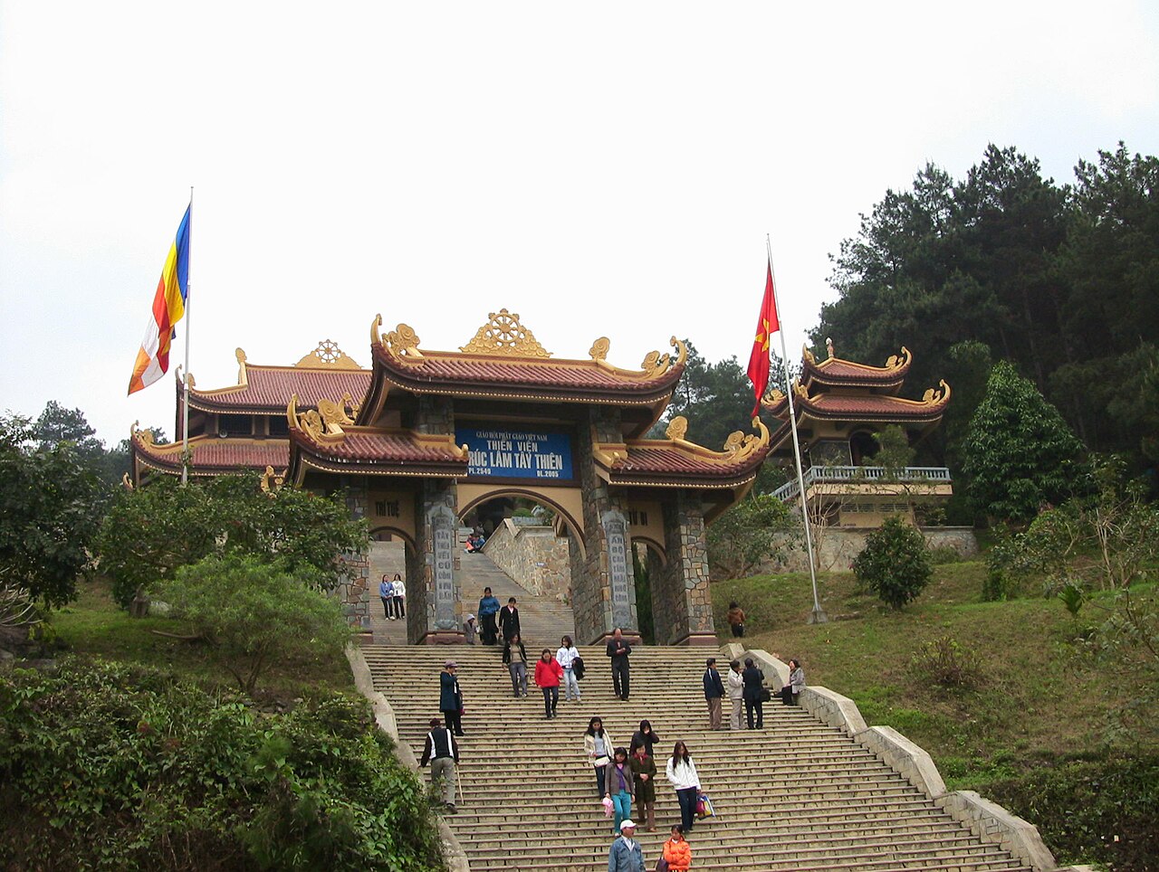
The province also contained Tay Thien, a pilgrimage site comprising a series of Buddhist temples and shrines set against forested hills, drawing large numbers of Vietnamese visitors particularly during festival periods.
Getting there and away
Vinh Phuc's territory sits roughly 50–80 km north-northwest of central Hanoi, and road links from the capital remain the primary approach. National Highway 2 (Quoc lo 2) runs through the former province toward Phu Tho and Tuyen Quang; the expressway corridor in this direction has progressively improved journey times. For travellers coming from Hanoi, the route to Tam Dao branches off the main highway and climbs steeply up the ridge.
There is no commercial airport within the former province's territory. The nearest international airport is Noi Bai (Hanoi), which sits between Hanoi city and the former Vinh Phuc border. Rail lines connecting Hanoi northward pass through the region, though Tam Dao itself is not served by rail. Bus services from Hanoi's My Dinh terminal historically covered routes into this area.
Since the 2025 administrative merger, onward travel to other parts of Phu Tho province — including Viet Tri city, now the provincial capital — is straightforward along Highway 2.
When to go
The former province has a monsoon climate with four loosely defined seasons. Summer (May to September) brings heat and humidity to the lowlands, with frequent heavy rain. Tam Dao town, being at altitude, is noticeably cooler than Hanoi during this period, which historically made it attractive as a weekend escape, though cloud and mist are frequent and can persist for days.
Autumn (October to November) is generally considered the most settled period: temperatures moderate, rainfall decreases, and visibility on the Tam Dao ridge tends to be better. Winter (December to February) can bring cold, damp conditions at altitude — occasionally cold enough for frost near the ridgeline — while the lowlands remain mild by temperate standards. Spring (March to April) sees warming temperatures but also persistent drizzle. The Tay Thien pilgrimage season peaks around the third lunar month, bringing significant crowds to that site.
What there is to see and do
Tam Dao National Park is the principal draw for visitors with an interest in nature. Trails through the park range from accessible paths near the town to longer routes into denser forest. The park is noted for endemic reptiles and amphibians, and birdwatching is a reason some visitors make the journey specifically. Leeches are present on forest trails during and after rain — a practical consideration for anyone planning to walk.
Tam Dao town itself is small, with a main street of guesthouses, restaurants serving grilled meats and local vegetables, and the ruins of the French-era church, which remains a recognisable landmark despite its roofless state. The town functions largely as a base rather than a destination in its own right.
Tay Thien, in the foothills below the main ridge, combines a cable car (with walking trails as an alternative) with a sequence of temple complexes. It is a working pilgrimage site rather than a heritage attraction designed for tourists, and is at its most atmospheric — and most crowded — during festivals.
The lowland areas of the former province contain some historical communal houses (dinh) and pagodas scattered across villages, though these attract far fewer outside visitors than the upland sites.
Common misunderstandings
Administrative confusion: Since 1 July 2025, Vinh Phuc no longer exists as an administrative unit. Any current official business, taxation, legal registration or government contact should be directed to Phu Tho province. Older signage, maps and documents will continue to reference Vinh Phuc for some time.
Weather expectations at Tam Dao: The ridge is frequently shrouded in cloud, particularly in summer and spring. Visitors who expect clear mountain panoramas may find the experience defined instead by mist, which suits the atmosphere but limits views. There is no reliable season for guaranteed clear skies.
Distance from Hanoi: Tam Dao is close enough to Hanoi to be marketed as a day trip, but the ascent road is narrow and winding, and weekend traffic — especially on public holidays and during festival season — can extend journey times considerably. Accommodation in the town fills quickly on those occasions.
Industrial character of the lowlands: Travellers expecting the whole former province to resemble the hill station will find the southern lowland areas predominantly industrial and agricultural in character, with limited conventional tourism infrastructure.
Climate by month
Long-run averages, not a forecast. Reference period: 2015–2024. Source: ERA5 reanalysis (Copernicus) via the Open-Meteo archive API.
Show the numbers
| Month | High °C | Low °C | Rain mm | Rain days | Humidity % |
|---|---|---|---|---|---|
| January | 20.5 | 14.5 | 78 | 12 | 78 |
| February | 21.9 | 15.6 | 53 | 10 | 78 |
| March | 25.4 | 19.1 | 78 | 13 | 82 |
| April | 28.8 | 21.7 | 90 | 12 | 81 |
| May | 31.4 | 24.7 | 237 | 18 | 82 |
| June | 32.9 | 26.2 | 265 | 19 | 81 |
| July | 32.4 | 26.0 | 317 | 22 | 83 |
| August | 31.5 | 25.5 | 409 | 24 | 86 |
| September | 30.6 | 24.6 | 324 | 22 | 85 |
| October | 28.2 | 21.7 | 168 | 13 | 79 |
| November | 25.8 | 19.2 | 51 | 9 | 78 |
| December | 21.2 | 14.7 | 36 | 7 | 73 |
Also known as / see also
Now part of
Referenced by
Sources
- ERA5 climate normals — Copernicus / Open-Meteo (CC BY 4.0) accessed 30 August 2026
Supports: monthly temperature and rainfall normals, and elevation - Vinh Phuc (Q27566) — Wikidata (CC0 1.0) accessed 30 August 2026
Supports: coordinates, area, population - Vinh Phuc — Wikipedia (CC BY-SA 4.0) accessed 30 August 2026
Supports: background
Current Last verified: 29 August 2026. Rules, fares and prices change — check the official source before acting on anything here. Report a mistake.
Picture credits (4)
Binh Son tower 2, Viethavvh at Vietnamese Wikipedia, Public domain, Wikimedia Commons · Zen Monastery Truc Lam Tay Thien, Phó Nháy, Public domain, Wikimedia Commons · Choi trau Hai Luu, Viethavvh at Vietnamese Wikipedia, Public domain, Wikimedia Commons · Vòng xoay ở chỗ Bưu điện Vĩnh Phúc, Bùi Thụy Đào Nguyên, CC BY-SA 3.0, Wikimedia Commons