National Assembly Resolution 202/2025/QH15 on the rearrangement of provincial-level administrative units
What Vinh Long Province Is
Vinh Long is one of 34 provincial-level units established on 1 July 2025, when Vietnam reorganised its administrative structure by merging 63 former provinces into 34 and abolishing the district tier. The current province was formed from three previously separate provinces: Vinh Long, Ben Tre and Tra Vinh. Its administrative centre is the city of Vinh Long, situated on the south bank of the Co Chien River, one of the main distributaries of the Mekong.
The province sits within the broader Mekong Delta region and covers a territory defined by river channels, low-lying plains and a southern coastline facing the East Sea. The merger combined an inland riverside zone, the coconut-dominated Ben Tre peninsula and the Khmer-influenced coastal area of Tra Vinh into a single administrative unit. The places themselves — their landscapes, communities, food and culture — have not changed as a result of the reorganisation.
Landscape and Character
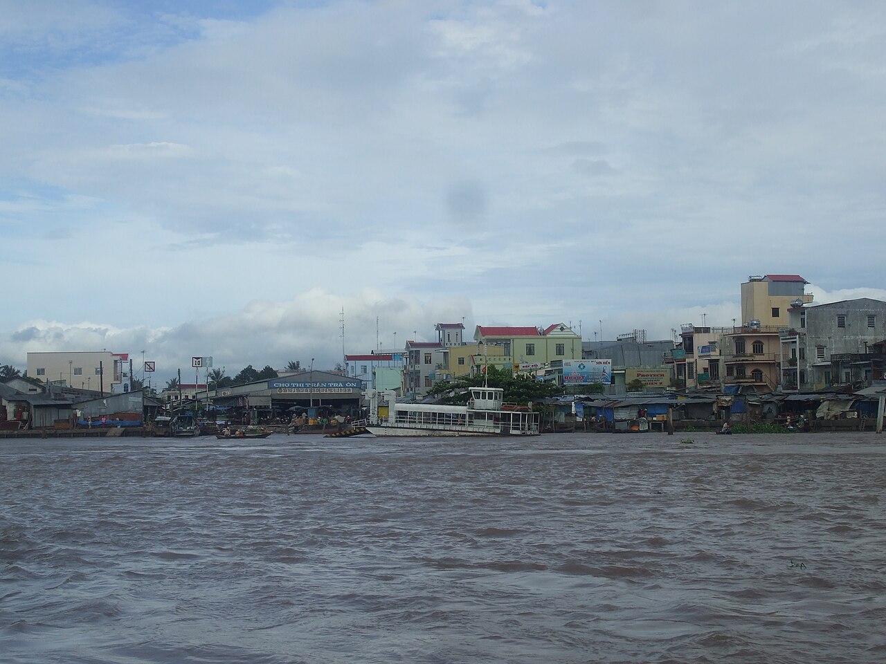
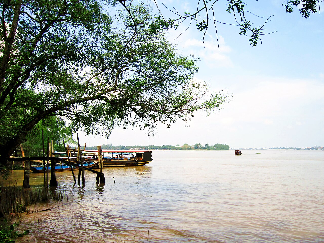
The province divides into three broadly distinct zones that reflect the geography of its predecessor units. The area around Vinh Long city is characterised by river islands — notably An Binh Island — accessible by small ferry, covered in fruit orchards growing longan, rambutan, mango and pomelo, and home to homestay operations that have been running for decades. The waterways here are wide and busy with cargo traffic moving between the upper delta and the sea.
The Ben Tre zone extends across a peninsula formed by the Mekong's southernmost branches. Coconut palms dominate the landscape; Ben Tre has long supplied the majority of Vietnam's coconut-derived products, from coconut candy and oil to coir rope. Narrow canals cut through the land and are navigable by sampan.
The Tra Vinh zone, in the east, has a drier character and a substantial Khmer Krom population, reflected in the presence of numerous Theravada Buddhist temples — called chùa Khmer — built in a style distinct from the Vietnamese Mahayana tradition. Ao Ba Om pond, a large rectangular reservoir of Khmer origin, sits within a forested temple compound near the city of Tra Vinh.
Getting There and Around
Vinh Long city is connected to Ho Chi Minh City by a well-travelled road corridor. The My Thuan Bridge and My Thuan 2 Bridge cross the Tien River, and the Can Tho Bridge links onwards to the southern delta. Long-distance buses operate between Ho Chi Minh City and multiple towns within the province, including the former Ben Tre and Tra Vinh city centres. Travel times vary considerably with traffic, particularly on weekends and during Tet.
Can Tho, the largest city in the delta, lies to the west and serves as a regional hub with the nearest commercial airport. Connections from Can Tho city into Vinh Long province are straightforward by road.
Within the province, movement between the three former-province zones requires crossing river channels. Ferries and small boats serve routes that bridges have not yet replaced, particularly in the Ben Tre area. Motorbike hire is the most practical option for exploring the canal-side roads and orchard tracks in the island zones. For the Tra Vinh area, roads are generally good and flat, making cycling practical in cooler months.
When to Go
The province has a tropical monsoon climate with two distinct seasons. The dry season, roughly November to April, brings lower humidity, less rainfall and more comfortable temperatures for outdoor activity and river travel. The wet season, May to October, brings heavy and sometimes prolonged rainfall, rising river levels and, in the coastal Tra Vinh zone, occasional flooding.
The wet season is not without value: the delta landscape is at its greenest, fruit harvests are active and water levels make certain canal routes more navigable. Temperatures remain warm throughout the year with little variation. For detailed guidance on seasonal patterns across the country, see When to go: weather by region.
Major festivals in the province include Khmer New Year (Chol Chnam Thmay), usually falling in April, which is celebrated with particular energy in the Tra Vinh area around temples and community spaces. The Ok Om Bok moon-worshipping festival, held on the fifteenth day of the tenth lunar month, draws large gatherings of the Khmer Krom community near Ao Ba Om pond.
What to See and Do
The river island zone near Vinh Long city is one of the most accessible examples of delta orchard life in the region. An Binh Island is reached by ferry in minutes from the city market pier. Tracks between fruit gardens connect small family operations, and homestays on the island allow visitors to experience the rhythm of river commerce at close range.
In the Ben Tre area, the coconut industry is both an economic reality and a tangible presence. Workshops producing coconut candy (kẹo dừa) operate openly; the process of husking, grating, pressing and cooking coconut milk into confectionery is observable at various scales. Canal trips by sampan through the narrower waterways remain a common way to reach villages not served by road.
In the Tra Vinh zone, the Khmer temple circuit includes sites such as Ang Pagoda and Hang Pagoda, both of which are active religious institutions with distinctive Cambodian-influenced architecture, gilded interiors and large grounds. Ba Om Pond, surrounded by large sao trees, is a serene site associated with Khmer legend. The area also has a small Cham Muslim community, and a mosque in Tra Vinh city marks that presence.
The province borders Dong Thap to the northwest, and the Tram Chim National Park is within reach for those interested in wetland bird life, including the red-headed crane (sếu đầu đỏ).
Staying in the Province
Accommodation options differ markedly across the province's three zones. In Vinh Long city, a range of guesthouses and mid-range hotels cluster near the riverside market area. The island homestays on An Binh and adjacent islands offer a different experience: shared meals with host families, basic but adequate facilities, and proximity to orchard and waterway activity.
The former Ben Tre city has its own accommodation stock, predominantly guesthouses and smaller hotels serving domestic travellers and those passing through to the coast. The Tra Vinh city area has seen some expansion of mid-range hotels in recent years, partly in response to growing domestic tourism linked to Khmer cultural festivals.
There is no five-star resort infrastructure within the province comparable to that found near Can Tho city. Visitors who prefer international-standard hotel facilities typically base themselves in Can Tho and make day trips into Vinh Long province.
Common Misunderstandings
The most immediate source of confusion is the administrative change of July 2025. Before that date, Ben Tre, Tra Vinh and Vinh Long were three separate provinces with their own capitals, budgets and identities. They are now a single province. Maps, guidebooks and transport apps produced before mid-2025 will show the old boundaries. The places have not moved and their names have not changed, but references to Ben Tre Province or Tra Vinh Province as current administrative units are outdated.
Visitors sometimes underestimate how much travel time is involved in crossing between the three zones within the province. The Ben Tre area and the Tra Vinh area are not adjacent to each other or to Vinh Long city in a convenient loop; reaching all three in a single day from a single base requires significant time on the road.
The delta's waterways are often portrayed as a uniform experience, but the canal systems in the Ben Tre area, the wide open Co Chien and Ham Luong rivers near Vinh Long city, and the quieter landscape around Tra Vinh are genuinely different in character. Treating them as interchangeable leads to misplaced expectations.
For practical entry and payment information, see Vietnam e-visa, Money, ATMs and cards, and SIM cards and eSIMs. For information on common issues travellers encounter, see Safety and common scams.
各月气候
长期平均值,非预测数据。 参考周期: 2015–2024. 来源: ERA5 reanalysis (Copernicus) via the Open-Meteo archive API.
Show the numbers
| 月份 | 最高气温 °C | 最低气温 °C | 降雨量(毫米) | 降雨天数 | Humidity % |
|---|---|---|---|---|---|
| January | 30.3 | 22.8 | 34 | 6 | 77 |
| February | 31.5 | 23.0 | 11 | 2 | 72 |
| March | 33.2 | 24.1 | 21 | 3 | 71 |
| April | 33.9 | 25.2 | 79 | 10 | 74 |
| May | 32.7 | 25.5 | 209 | 25 | 82 |
| June | 31.0 | 24.8 | 234 | 27 | 87 |
| July | 30.2 | 24.6 | 305 | 29 | 88 |
| August | 30.4 | 24.6 | 283 | 29 | 87 |
| September | 30.2 | 24.3 | 357 | 29 | 89 |
| October | 30.1 | 24.0 | 360 | 28 | 89 |
| November | 30.1 | 23.9 | 182 | 20 | 86 |
| December | 29.8 | 23.1 | 79 | 10 | 80 |
Places within Vinh Long
Where it is
Also known as / see also
附近
已并入
被以下页面引用
来源
- ERA5 climate normals — Copernicus / Open-Meteo (CC BY 4.0) 访问于 30 August 2026
Supports: monthly temperature and rainfall normals, and elevation - Vinh Long (Q7333405) — Wikidata (CC0 1.0) 访问于 30 August 2026
Supports: coordinates, area, population - Vinh Long — Wikipedia (CC BY-SA 4.0) 访问于 30 August 2026
Supports: background
Current 最后核实: 31 August 2026. Rules, fares and prices change — check the official source before acting on anything here. Report a mistake.
Picture credits (6)
Công Thần Miếu, Bùi Thụy Đào Nguyên, CC BY-SA 4.0, Wikimedia Commons · Chợ Trà Ôn, Bùi Thụy Đào Nguyên, Public domain, Wikimedia Commons · A woman is drying bricks in the sun in Vinh Long, Vietnam, Trantuonglam, CC BY-SA 4.0, Wikimedia Commons · A woman is working at a brick kiln in Vinh Long, Vietnam, Trantuonglam, CC BY-SA 4.0, Wikimedia Commons · Bia ghi công Lê Cẩn và Nguyễn Giao, Bùi Thụy Đào Nguyên, CC BY-SA 3.0, Wikimedia Commons · Tàu du lịch cặp bến cồn Phụng, Bùi Thụy Đào Nguyên, CC BY-SA 3.0, Wikimedia Commons