2025 constitutional amendment and Law on Organisation of Local Government establishing a two-tier local government
Administrative status
Việt Trì was designated a provincial city within Phú Thọ province until 30 June 2025, when Vietnam's nationwide administrative reorganisation merged and restructured provincial-level units and abolished the district tier entirely. As of 1 July 2025, Việt Trì no longer exists as a discrete administrative unit; the area it formerly covered falls under the governance of Phú Thọ province directly, operating under the new two-tier province/commune system.
The place itself has not changed. Streets, landmarks, the riverfront and local institutions remain where they were. Residents and businesses continue to use the name Việt Trì, and it remains meaningful as a geographic and cultural reference.
Character and setting
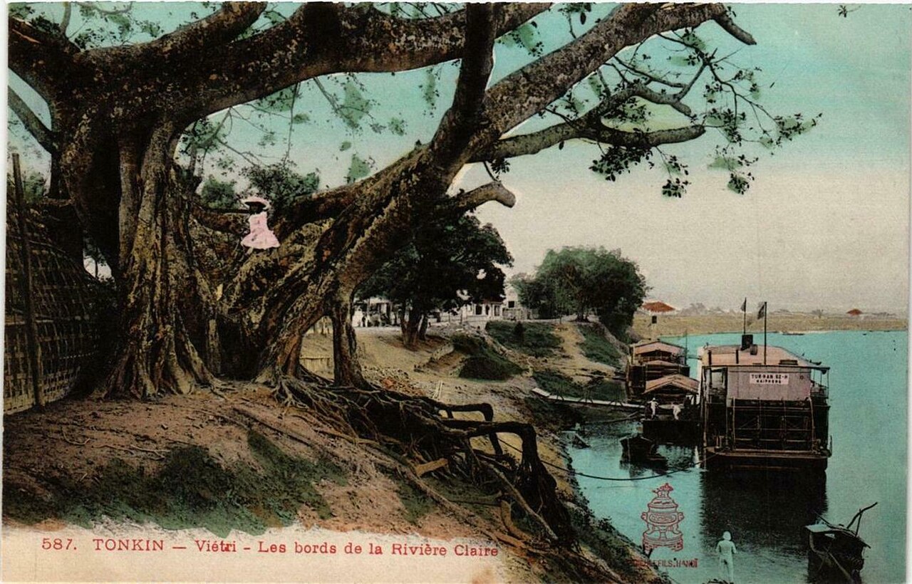
Việt Trì occupies a low-lying plain at the point where the Red River (Sông Hồng), the Lô River and the Đà River converge — a geography that shaped both its strategic importance and its vulnerability to seasonal flooding. The city developed substantially during the French colonial period as an inland trading post and later as an industrial centre under the Democratic Republic of Vietnam, acquiring cement plants, chemical works and textile factories in the 1960s.
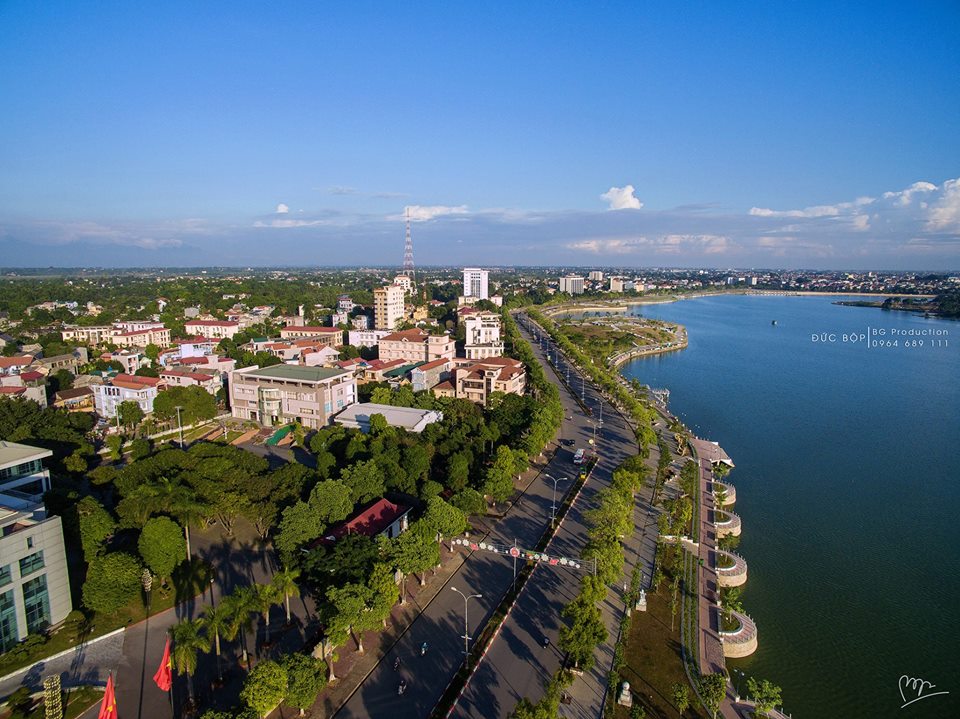
Its industrial legacy gives Việt Trì a working character distinct from tourist-oriented cities. The downtown area around Hùng Vương Boulevard contains administrative buildings, markets and older shophouse blocks. The riverbanks are the most atmospheric parts of the city, particularly at dusk when fishing activity and river traffic are visible from the embankments.
Historical significance: the Hùng Kings
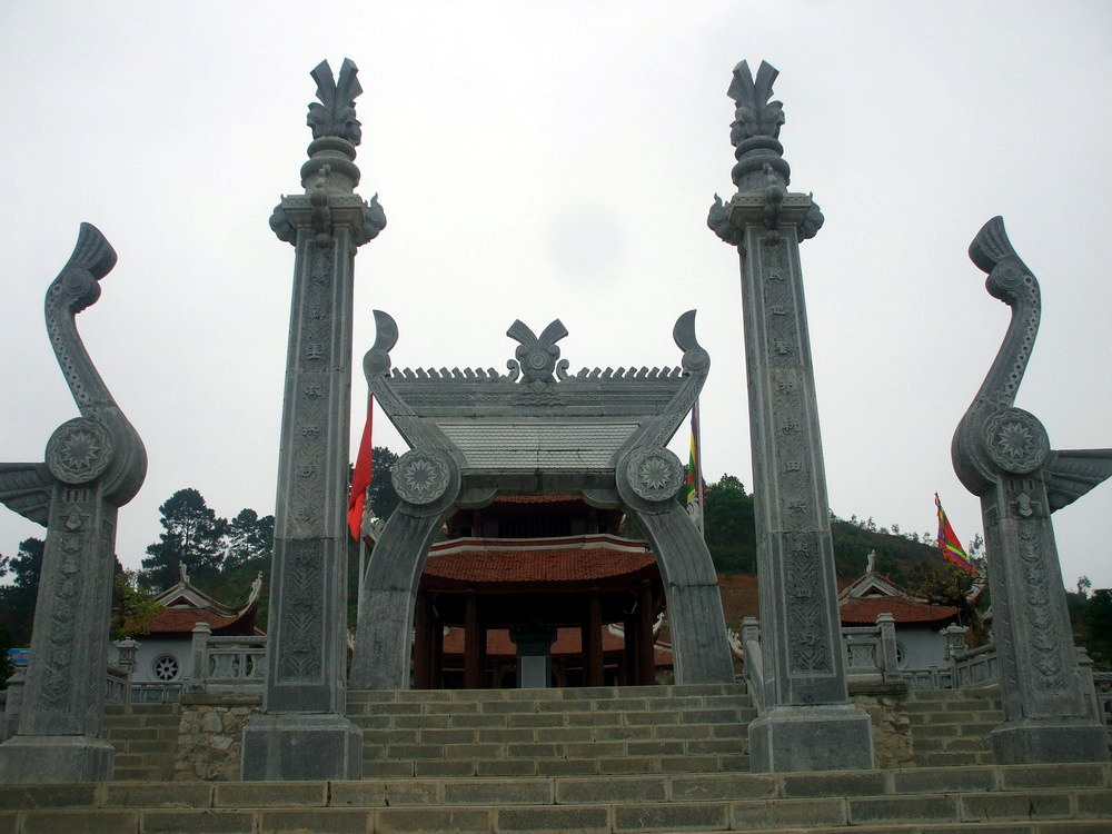
Việt Trì lies within Phú Thọ province, the heartland of Văn Lang — the polity attributed to the semi-legendary Hùng Kings, who are said to have ruled for eighteen generations and are credited in Vietnamese tradition with founding the nation. The Hùng Kings Temple (Đền Hùng), located on Nghĩa Lĩnh Mountain roughly ten kilometres from the city centre, is one of the most significant ritual sites in Vietnam.
The Hùng Kings Festival, held on the tenth day of the third lunar month, draws large numbers of visitors from across the country and has been recognised by UNESCO as an element of intangible cultural heritage. Outside the festival period the temple complex is open to visitors and far less crowded. The site comprises multiple temples ascending the hill, the most important being Đền Thượng at the summit.
Getting there and around
Việt Trì is connected to Hanoi by National Highway 2 and by rail on the Hanoi–Lào Cai line; trains stop at Việt Trì station, making it a practical junction for travellers heading further north-west toward Lào Cai and Phú Thọ province's upland areas. Journey times from Hanoi vary by service type and traffic conditions. Buses and minivans operate from Mỹ Đình and Giáp Bát stations in Hanoi.
Within the city, motorbike taxis and ride-hailing apps cover most destinations. The Hùng Kings Temple is reachable by local bus or hired vehicle from the city centre. During the Hùng Kings Festival the roads approaching Nghĩa Lĩnh Mountain become heavily congested; early morning visits reduce delays considerably.
Seasons and timing
Việt Trì has a monsoon-influenced subtropical climate. The wet season runs roughly from May to October, bringing high humidity, frequent rain and periodic flooding along the river confluence — a meaningful concern given the city's low elevation and position at the meeting of three rivers. The dry season from November to April offers cooler temperatures and clearer skies, making it the more comfortable period for outdoor movement.
The Hùng Kings Festival in the third lunar month (typically falling in March or April) is the single event most likely to influence a visit: accommodation fills quickly across the city and surrounding areas in the days around the festival, and prices vary by season and demand. Visitors not attending the festival may find the shoulder months of November or February quieter and easier to navigate.
What first-time visitors get wrong
Việt Trì is frequently treated as a pass-through point rather than a destination in its own right, which is largely accurate — most travellers stop only to visit the Hùng Kings Temple before continuing north or returning to Hanoi. Those expecting a polished tourist infrastructure will find it limited; the city functions primarily for its residents and its industrial economy.
The administrative change of July 2025 causes occasional confusion: Việt Trì no longer appears on official documents as a separate unit, but postal addresses, local signage and everyday speech continue to use the name freely. Referring to the area as Việt Trì in conversation remains entirely appropriate. Maps and navigation applications may take time to reflect the reorganisation consistently, so cross-referencing with Phú Thọ province identifiers is advisable when booking accommodation or transport online.
Where it is
Các nguồn
- Việt Trì (Q36082) — Wikidata (CC0 1.0) đã truy cập 30 August 2026
Supports: coordinates, area, population - Việt Trì — Wikipedia (CC BY-SA 4.0) đã truy cập 30 August 2026
Supports: background
Current Đã xác minh lần cuối: 31 August 2026. Rules, fares and prices change — check the official source before acting on anything here. Report a mistake.
Picture credits (4)
Vietri - Les bords de la Rivière Claire, vi:User:Hungvuongking, Public domain, Wikimedia Commons · Đền thờ Lạc Long Quân, Bùi Thụy Đào Nguyên, CC BY-SA 4.0, Wikimedia Commons · Duongntt, Tungdino1997, CC BY-SA 4.0, Wikimedia Commons · Trường Trung học phổ thông Công nghiệp Việt Trì 2, Vkprostudio ( thảo luận ), Public domain, Wikimedia Commons