National Assembly Resolution 202/2025/QH15 on the rearrangement of provincial-level administrative units
Tuyen Quang province was created on 1 July 2025 by the merger of the former Tuyen Quang and Ha Giang provinces. The result is one of Vietnam's largest and most topographically varied provinces, ranging from accessible lowland valleys to the remote high-altitude terrain along the Chinese border that includes the celebrated Ha Giang Loop.
What Tuyen Quang is known for
The province divides, in practical terms, into two distinct zones inherited from its merger. The southern part — the former Tuyen Quang — is known for the Na Hang reservoir and its flooded-forest landscape, limestone karst rising from still water, and the Na Hang–Lam Binh protected area, which supports diverse wildlife and is accessible by boat. The Tuyen Quang town area also has significance in Vietnamese revolutionary history: it served as a Viet Minh base during the resistance against French colonial rule, and several sites commemorate that period.
The northern part — the former Ha Giang — contains the Dong Van Karst Plateau Geopark, a UNESCO Global Geopark of ancient limestone formations, and the road circuit widely known as the Ha Giang Loop. This route through Ma Pi Leng Pass and the Nho Que River gorge is among the most dramatic mountain roads in Southeast Asia. The region is also home to a concentration of ethnic minority communities — Hmong, Tay, Dao, Lo Lo and others — with distinct textile traditions, markets and architecture.
Getting there and away
The provincial capital, Tuyen Quang city, lies roughly 165 km north of Hanoi and is reachable by bus from Hanoi's My Dinh or Gia Lam terminals. Roads are sealed and the journey takes a few hours depending on traffic. There is no passenger rail line serving the capital directly.
Ha Giang city, the main hub for the northern part of the province, is around 320 km from Hanoi. Sleeper buses from Hanoi run overnight or during the day; the journey is long and mountain roads in the final stretch are winding. A small domestic airport exists at Ha Giang but scheduled commercial services have been limited and availability should be verified locally before planning around it.
For travellers approaching from the south or west, Phu Tho and Thai Nguyen are the nearest neighbouring provinces with good road links. Lao Cai borders the province to the northwest. Many visitors doing the Ha Giang Loop rent a motorbike or hire an easy-rider guide in Ha Giang city.
When to go
The province has a subtropical highland climate, but conditions vary considerably between the lower valleys and the high plateau. See weather by region for a fuller breakdown.
October to April is generally the preferred period for the northern highlands. Skies are clearer, roads are drier, and the Dong Van plateau can be cold — near freezing at night from December to February — which many visitors find bracing rather than prohibitive. Buckwheat flowers bloom across the plateau from around October into November, drawing significant visitor numbers.
May to September brings the monsoon. Rainfall is heavy, particularly in July and August. Landslides are a genuine hazard on mountain roads, and the Ma Pi Leng area can be impassable after serious storms. The Nho Que River runs brown with sediment. Na Hang and the reservoir landscapes in the south are also wettest during this period, though river levels can make boat excursions more dramatic.
The buckwheat-flower season in October–November and the spring flower season around February–March (coinciding with Hmong New Year celebrations) are peak crowd periods in the north of the province.
What there is to see and do
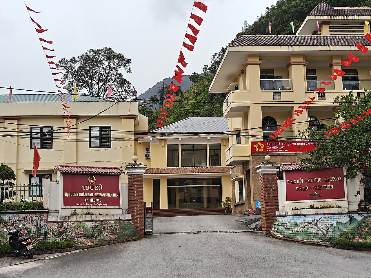
Dong Van Karst Plateau Geopark covers a large area of the northern province and includes the towns of Dong Van and Meo Vac, connected by the road over Ma Pi Leng Pass. The gorge of the Nho Que River below the pass is one of the defining landscapes of northern Vietnam. Dong Van old quarter retains Qing-era architecture from communities that traded across the nearby border.
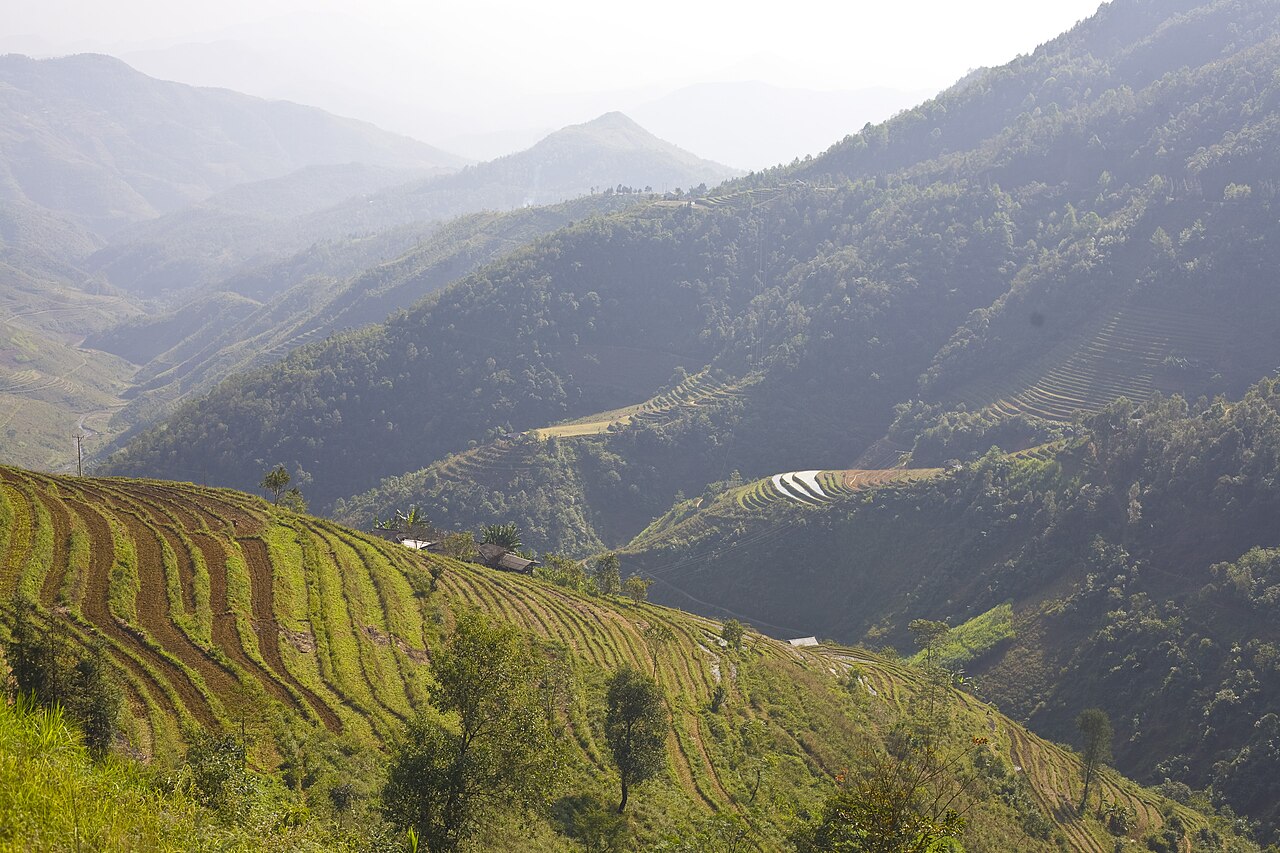
The Ha Giang Loop — the circuit typically run over two to four days from Ha Giang city through Quan Ba, Yen Minh, Dong Van and Meo Vac — is covered in detail on the Ha Giang Loop page.
Na Hang–Lam Binh in the south offers boat trips through flooded karst, with opportunities to reach ethnic minority villages by water. The area is considerably quieter than the northern loop circuit.
Hoang Su Phi, in the western part of the former Ha Giang, is known for its terraced rice fields, which are most photogenic from September to October when the rice is ripening. The area is less visited than the plateau and requires more planning to reach.
Weekly ethnic minority markets — notably at Dong Van, Meo Vac and several smaller villages — operate on rotating schedules and serve primarily local communities rather than tourism, though visitors attend.
Where to stay
Accommodation options concentrate in Ha Giang city, which functions as the base for the northern loop, with a range of guesthouses and small hotels oriented toward backpackers and independent travellers. Dong Van and Meo Vac towns both have guesthouses sufficient for an overnight stop on the loop; booking ahead during the buckwheat and spring-flower seasons is sensible, as capacity is limited.
Tuyen Quang city in the south has standard provincial-town hotels catering mainly to domestic business travellers and officials. Na Hang has homestay and guesthouse options near the reservoir, though the range is narrower than in Ha Giang city.
Homaestays with ethnic minority families are available in several areas, particularly around Hoang Su Phi and some villages on the plateau; quality and facilities vary considerably, and many are arranged through local operators in Ha Giang city.
Common misunderstandings
The administrative merger does not change what places are called or where they are. Ha Giang city, Dong Van, Meo Vac and Na Hang retain their names and locations. What has changed is that they now fall within a single province called Tuyen Quang rather than two separate provinces. Some older maps, guidebooks and booking platforms will still show the pre-2025 boundaries.
The Ha Giang Loop is not a single road. It is a loose term for a circuit of varying length. Some travellers complete a short two-day version; others extend to five or six days. Road conditions on secondary tracks can be poor even in the dry season, and inexperienced riders on unfamiliar motorbikes are involved in a disproportionate number of accidents. The terrain demands genuine riding experience on mountain roads.
Mobile data coverage is patchy in the plateau and gorge areas; do not rely on navigation apps without downloading offline maps. ATMs exist in Ha Giang city but are absent or unreliable in smaller towns — see Money, ATMs and cards. A local SIM is useful; options are covered on the SIM cards and eSIMs page.
Visa rules can change by decree. The authoritative source is the Vietnamese immigration authority; the Vietnam e-visa page on this site summarises the current position but should be checked against official sources before travel.
महीने के अनुसार जलवायु
दीर्घकालिक औसत, पूर्वानुमान नहीं। संदर्भ अवधि: 2015–2024. स्रोत: ERA5 reanalysis (Copernicus) via the Open-Meteo archive API.
Show the numbers
| महीना | उच्च °C | न्यूनतम °C | वर्षा मिमी | वर्षा दिवस | Humidity % |
|---|---|---|---|---|---|
| January | 20.1 | 13.7 | 92 | 14 | 82 |
| February | 21.7 | 14.9 | 67 | 12 | 81 |
| March | 25.3 | 18.4 | 119 | 18 | 83 |
| April | 28.8 | 21.1 | 147 | 15 | 82 |
| May | 31.3 | 23.5 | 337 | 21 | 84 |
| June | 32.5 | 24.8 | 392 | 24 | 86 |
| July | 32.3 | 24.8 | 417 | 25 | 87 |
| August | 31.6 | 24.6 | 462 | 27 | 89 |
| September | 30.6 | 23.7 | 325 | 22 | 88 |
| October | 28.3 | 21.0 | 158 | 14 | 82 |
| November | 25.3 | 18.3 | 94 | 12 | 82 |
| December | 20.7 | 13.7 | 47 | 9 | 79 |
Places within Tuyen Quang
Where it is
Also known as / see also
आस-पास
समाहित
संदर्भित
स्रोत
- ERA5 climate normals — Copernicus / Open-Meteo (CC BY 4.0) accessed 30 August 2026
Supports: monthly temperature and rainfall normals, and elevation - Map data from OpenStreetMap contributors, ODbL 1.0 — OpenStreetMap (ODbL 1.0) accessed 29 August 2026
Supports: carried over from the first build - Tuyen Quang (Q2332060) — Wikidata (CC0 1.0) accessed 30 August 2026
Supports: coordinates, area, population - Tuyen Quang — Wikipedia (CC BY-SA 4.0) accessed 30 August 2026
Supports: background
Current अंतिम सत्यापन: 29 August 2026. Rules, fares and prices change — check the official source before acting on anything here. Report a mistake.
Picture credits (6)
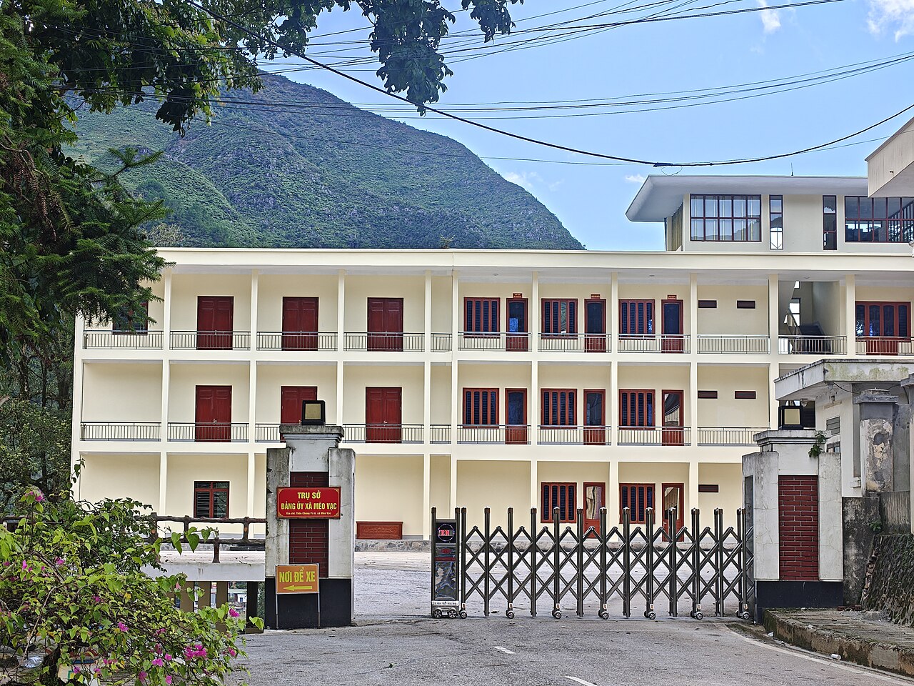
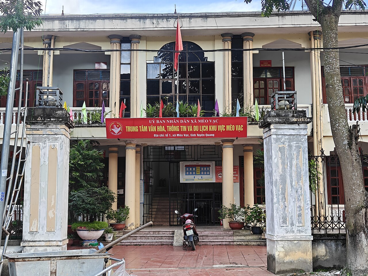
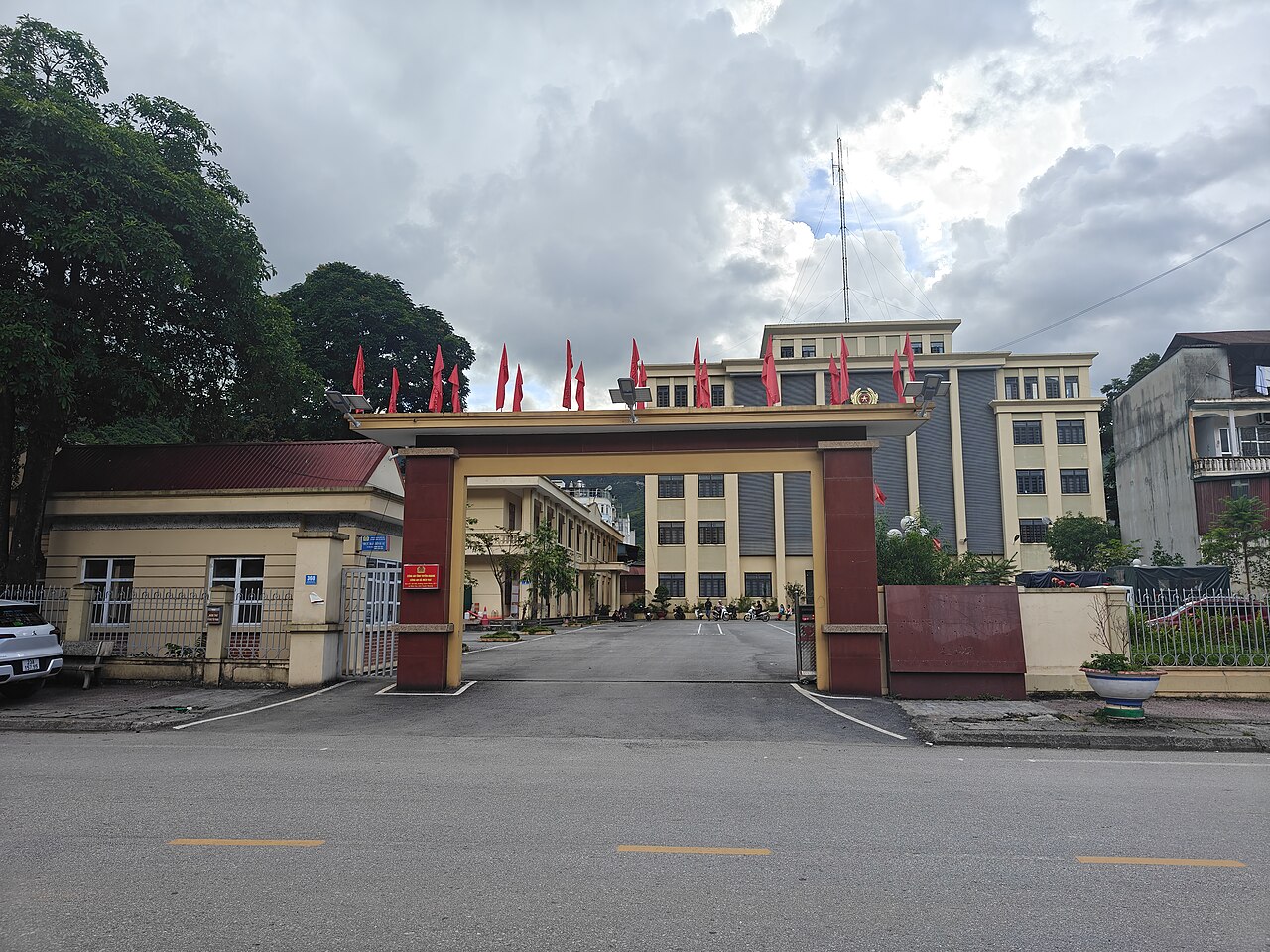
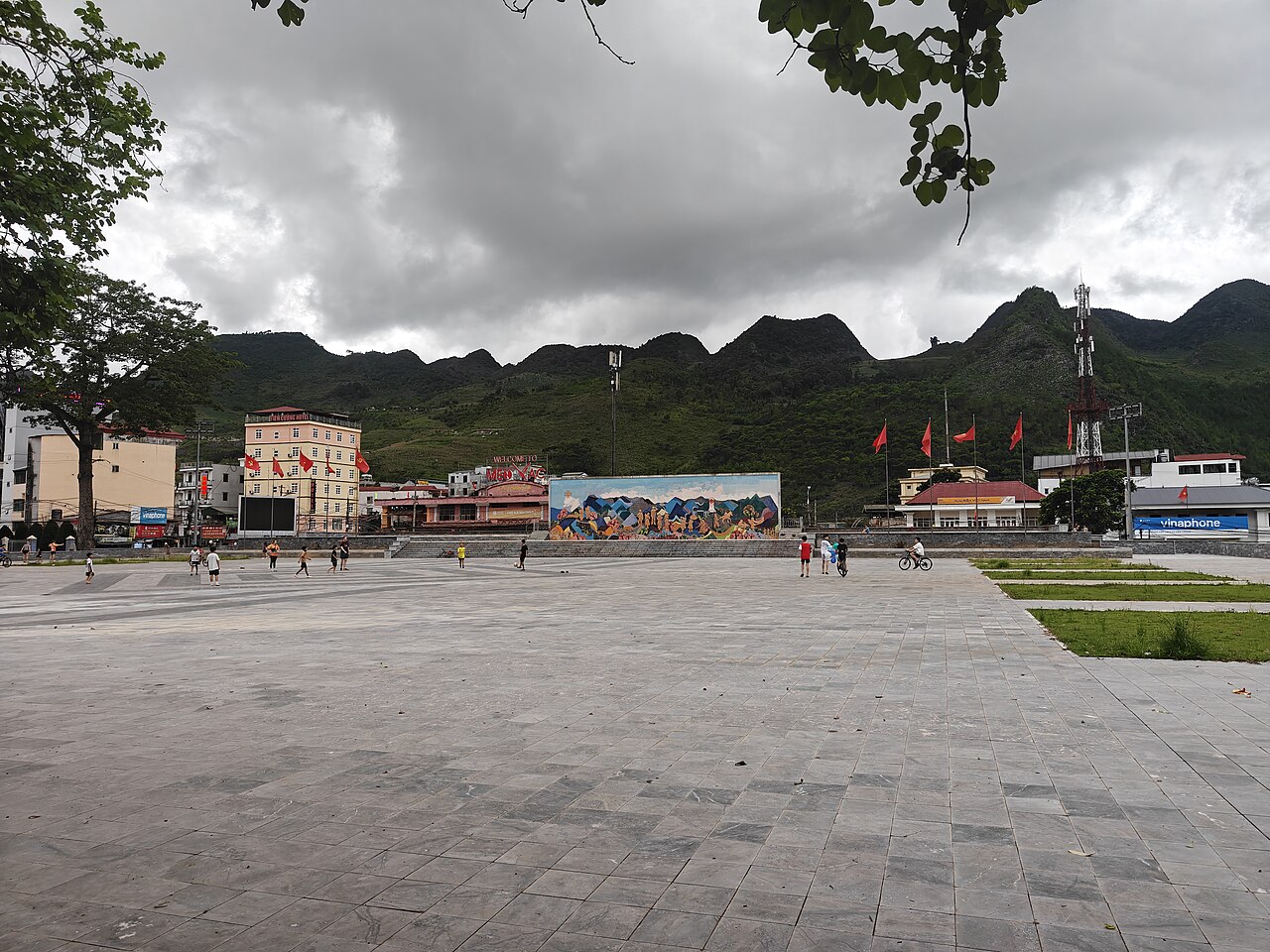
Headquarters of the Party Committee of Meo Vac Commune, Tuyen Quang Province, HuangWending18072009, CC0, Wikimedia Commons · Meo Vac Area Center for Culture, Information and Tourism, Tuyen Quang Province, HuangWending18072009, CC0, Wikimedia Commons · Meo Vac Commune Public Security Station, Tuyen Quang Province, HuangWending18072009, CC0, Wikimedia Commons · Meo Vac Commune Square, Tuyen Quang Province, HuangWending18072009, CC0, Wikimedia Commons · Office Building of the People's Council - People's Committee of Meo Vac Commune, HuangWending18072009, CC0, Wikimedia Commons · Ha Giang Loop, Northern Vietnam, miketnorton, CC BY 2.0, Wikimedia Commons