What Tram Chim Is
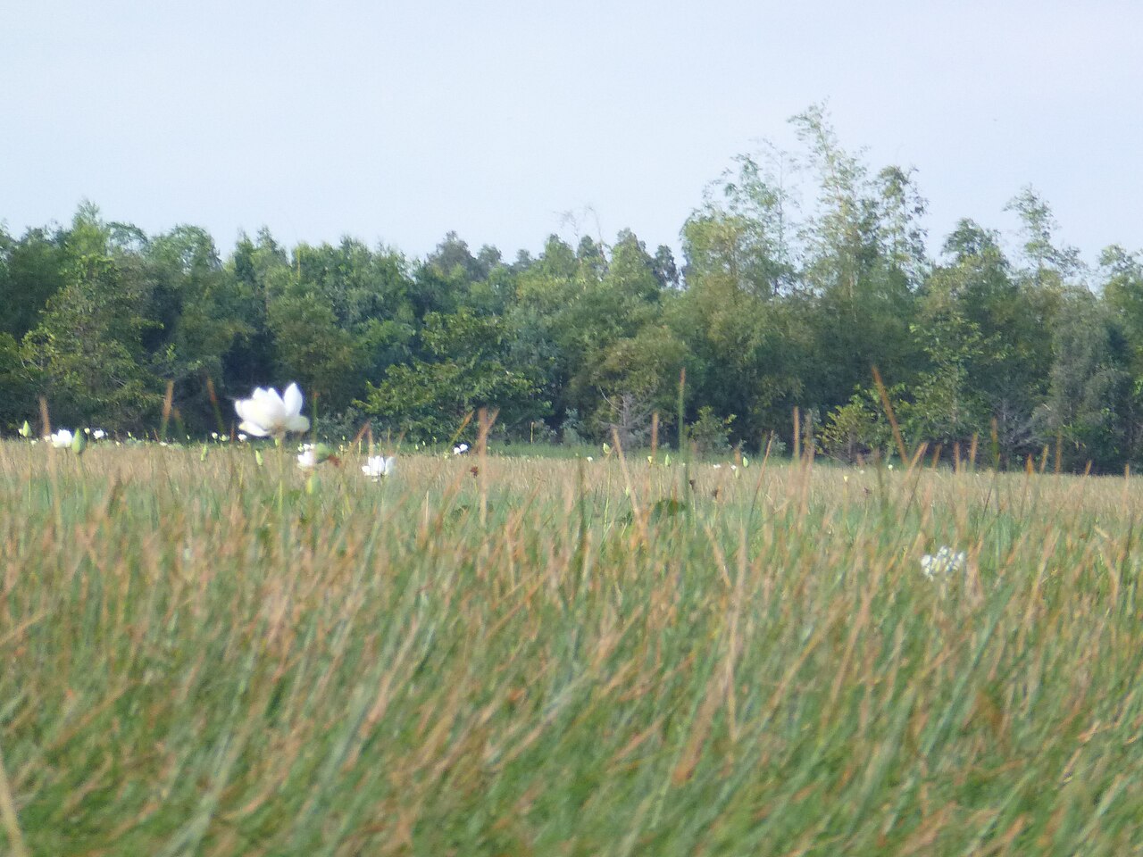
Tram Chim National Park covers roughly 7,600 hectares of seasonally flooded grassland, melaleuca forest and open water in the heart of the Mekong Delta's Plain of Reeds. The park sits within Dong Thap province and takes its name from the melaleuca trees (tràm) that dominate much of the landscape.
In 1998 Tram Chim was designated a Ramsar Wetland of International Importance — one of a small number in Vietnam — recognising the habitat's role in supporting migratory waterbirds, freshwater fish and a wide range of aquatic plants. The wetland functions as a flood-retention basin, absorbing seasonal overflow from the Mekong system and releasing it gradually. This hydrological role shapes everything about the park: which zones are accessible, which birds are present, and how the landscape looks in any given month.
The Sarus Crane: Presence and Uncertainty
The eastern sarus crane (Grus antigone sharpii) is the symbol of Tram Chim and one of the tallest flying birds in the world. At its peak in the late 1980s and early 1990s, the Plain of Reeds supported a wintering flock of several hundred individuals. That population has declined sharply. Numbers fluctuate considerably from year to year, and sightings within the park are no longer guaranteed during any given visit.
Researchers and park managers attribute the decline to several overlapping pressures: habitat loss across the crane's Cambodian and Vietnamese range, changes in water management that alter the grassland structure cranes depend on for feeding, and hunting outside the park's boundaries. Park staff have adjusted water levels in certain zones to try to maintain suitable foraging habitat, but the results remain contested among ornithologists.
Cranes, when present, are typically seen between December and April in the seasonally dry zones of the park's northern sections. Their presence in any particular year is not predictable in advance.

Birdwatching Beyond the Cranes
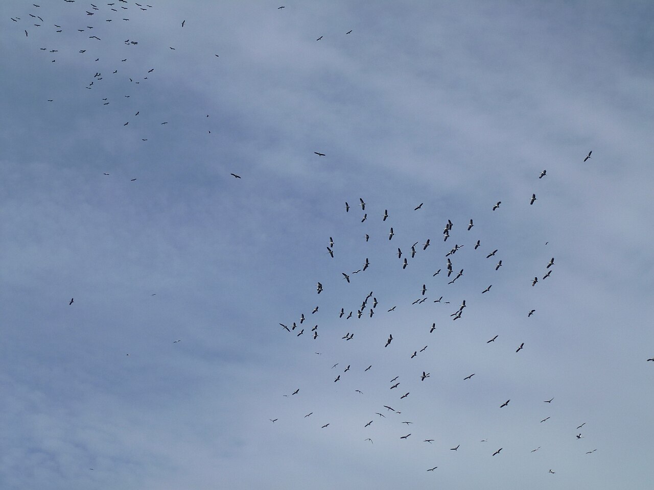
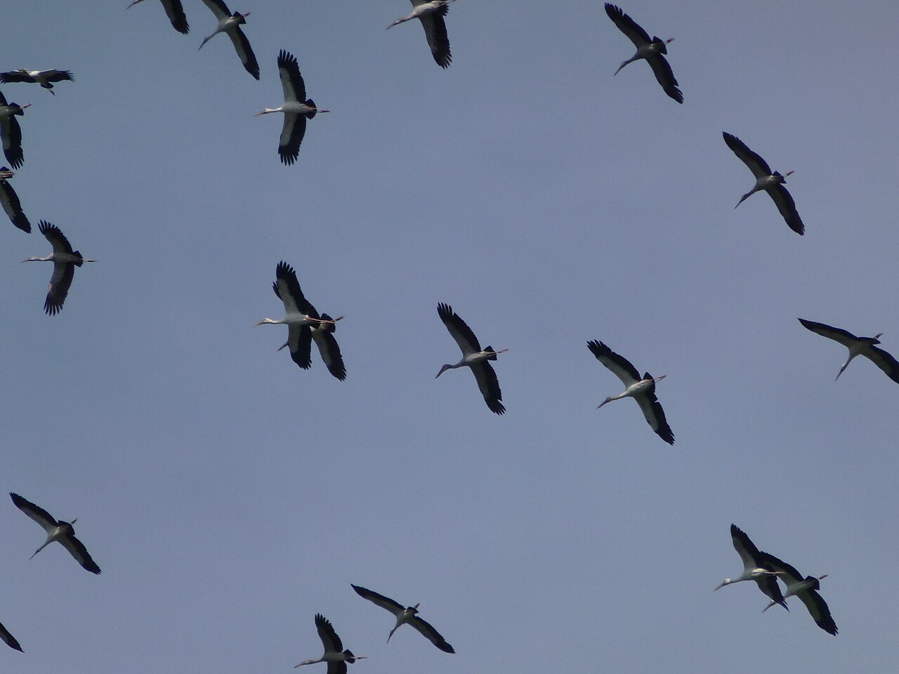
Even without cranes, Tram Chim holds considerable interest for birdwatchers. The park's bird list runs to well over 230 species recorded across different seasons. Waterbirds that can be reliably encountered include painted storks, Asian openbills, various egret and heron species, purple swamphens, bronze-winged jacanas and several species of kingfisher.
The dry season, broadly December to May, is the most productive period. Water levels fall, concentrating fish and invertebrates, which in turn concentrate birds along the edges of remaining pools and channels. Early morning — the first two to three hours after dawn — produces the most activity. Midday is generally quiet.
The park is divided into five management zones. Zone A5 in the south is the main access point for visitors and offers the most straightforward boat routes. Zones further north, including the grassland areas where cranes have historically fed, may require advance arrangement with park staff to access.
Getting Around: Boats and Routes
The primary way to explore Tram Chim is by small motorised boat on the park's canal system. Boats are arranged at the visitor centre near the main gate. Routes vary in length and the depth of habitat they pass through; longer routes reach the more open water and grassland zones where larger waterbirds are more likely.
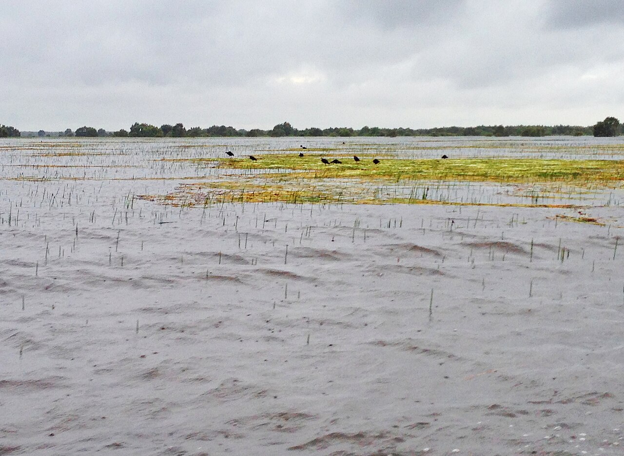
The canal network means the landscape is experienced at water level, moving slowly through corridors of melaleuca and sedge. Water hyacinth is present in many channels and can affect boat passage, particularly in the wet season when coverage is dense. The park's accessible area shrinks during the flood peak, roughly August to November, when large portions of habitat are submerged.
Guided boat trips led by park rangers or staff naturalists are available and provide the best chance of locating specific species. Visitors with a particular interest in the cranes or rare species are advised to contact the park in advance to discuss current conditions and which zones are worth targeting.
Access and Location
Tram Chim National Park is located near the town of Tam Nong, approximately 40 kilometres north of Cao Lanh, the main urban centre of Dong Thap province. The route from Cao Lanh follows provincial roads through flat agricultural land and takes roughly one to one and a half hours by motorbike or car.
The park can also be reached from other parts of the Mekong Delta. Can Tho is the region's largest city and a common base for visitors exploring multiple sites; the drive from Can Tho to Tram Chim takes approximately two to two and a half hours depending on route and ferry crossings. Chau Doc in An Giang is another possible starting point for those combining the park with a visit to the Cambodian border area.
There is limited accommodation in Tam Nong itself. Most visitors stay in Cao Lanh and make a day trip, or use a guesthouse in the immediate vicinity of the park entrance. For broader regional travel context, see When to go: weather by region.
Practical Notes
Entry to the park requires purchasing a ticket at the visitor centre. Boat hire is arranged separately on-site. Prices vary by season and by the length and type of route selected.
Mobile coverage inside the park is limited. Visitors relying on data for maps or translation should download relevant material in advance; for connectivity options across Vietnam see SIM cards and eSIMs. For payment, the visitor centre and boat operators generally expect cash; see Money, ATMs and cards for guidance on accessing dong in the Mekong Delta.
Sunscreen, a hat and insect repellent are relevant for open-boat travel in the delta's heat. Early morning departures are strongly favoured for bird activity. Visitors planning to enter Vietnam for the first time should check current visa requirements at Vietnam e-visa.
各月气候
长期平均值,非预测数据。 参考周期: 2015–2024. 来源: ERA5 reanalysis (Copernicus) via the Open-Meteo archive API.
Show the numbers
| 月份 | 最高气温 °C | 最低气温 °C | 降雨量(毫米) | 降雨天数 | Humidity % |
|---|---|---|---|---|---|
| January | 31.4 | 22.5 | 35 | 6 | 71 |
| February | 33.0 | 22.8 | 16 | 3 | 66 |
| March | 34.5 | 24.2 | 35 | 5 | 65 |
| April | 34.4 | 25.3 | 105 | 13 | 71 |
| May | 32.8 | 25.7 | 196 | 25 | 81 |
| June | 31.2 | 25.3 | 218 | 26 | 85 |
| July | 31.0 | 25.1 | 270 | 28 | 84 |
| August | 31.3 | 25.1 | 256 | 29 | 83 |
| September | 31.1 | 24.7 | 348 | 29 | 85 |
| October | 31.1 | 24.1 | 331 | 27 | 85 |
| November | 31.4 | 23.7 | 184 | 21 | 81 |
| December | 30.9 | 22.9 | 67 | 11 | 74 |
Practical notes
Where it is
Also known as / see also
附近
被以下页面引用
来源
- ERA5 climate normals — Copernicus / Open-Meteo (CC BY 4.0) 访问于 30 August 2026
Supports: monthly temperature and rainfall normals, and elevation - Vietnam National Authority of Tourism — VNAT 访问于 29 August 2026
Supports: the rules and definitions on this page - Tràm Chim National Park — Wikipedia (CC BY-SA 4.0) 访问于 31 August 2026
Supports: background - Vườn quốc gia Tràm Chim — Wikipedia (Vietnamese) (CC BY-SA 4.0) 访问于 31 August 2026
Supports: background, Vietnamese edition
Current 最后核实: 31 August 2026. Rules, fares and prices change — check the official source before acting on anything here. Report a mistake.
Picture credits (5)
Anastomus oscitans Tràm Chim 1, Hungda, CC BY-SA 3.0, Wikimedia Commons · Anastomus oscitans Tràm Chim 2, Hungda, CC BY-SA 3.0, Wikimedia Commons · Nelumbo lutea in Tram Chim, Vietnam, Hungda, CC BY-SA 3.0, Wikimedia Commons · Sen và nghễ trong vùng đầm lầy ở VQG Tràm Chim, vi:User:Quoilp, CC BY-SA 3.0, Wikimedia Commons · trungydang, CC BY 3.0, Wikimedia Commons