The place itself has not changed, and this page continues to cover it.
National Assembly Resolution 202/2025/QH15 on the rearrangement of provincial-level administrative units
Administrative note
Trà Vinh functioned as a province-level administrative unit until 30 June 2025, when Vietnam restructured its 63 provincial-level units into 34. On 1 July 2025 the area was merged into Vinh Long, which now governs the territory. The district tier was abolished at the same time, so references to Trà Vinh's former districts are no longer current administrative descriptions.
The place itself has not changed. The towns, villages, pagodas, rivers and landscapes described on this page remain where they always were; only the administrative label above them is different.
Character and identity
Trà Vinh is distinguished within the Mekong Delta by its substantial Khmer Krom population, estimated at roughly 30 per cent of residents, making it one of the provinces with the highest proportion of ethnic Khmer in Vietnam. This community has maintained a distinct material culture visible in architecture, food and annual festivals.
The landscape is shaped by the two major river arms that flank the peninsula — the Co Chien to the north-west and the Hau to the south-east — along with a dense network of smaller canals. Stands of dua nuoc (nipa palm) line many waterways, and the interior contains patches of cajeput forest typical of the western delta.
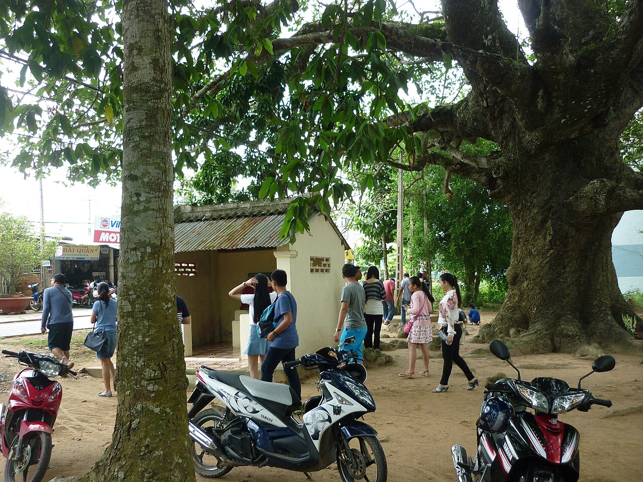
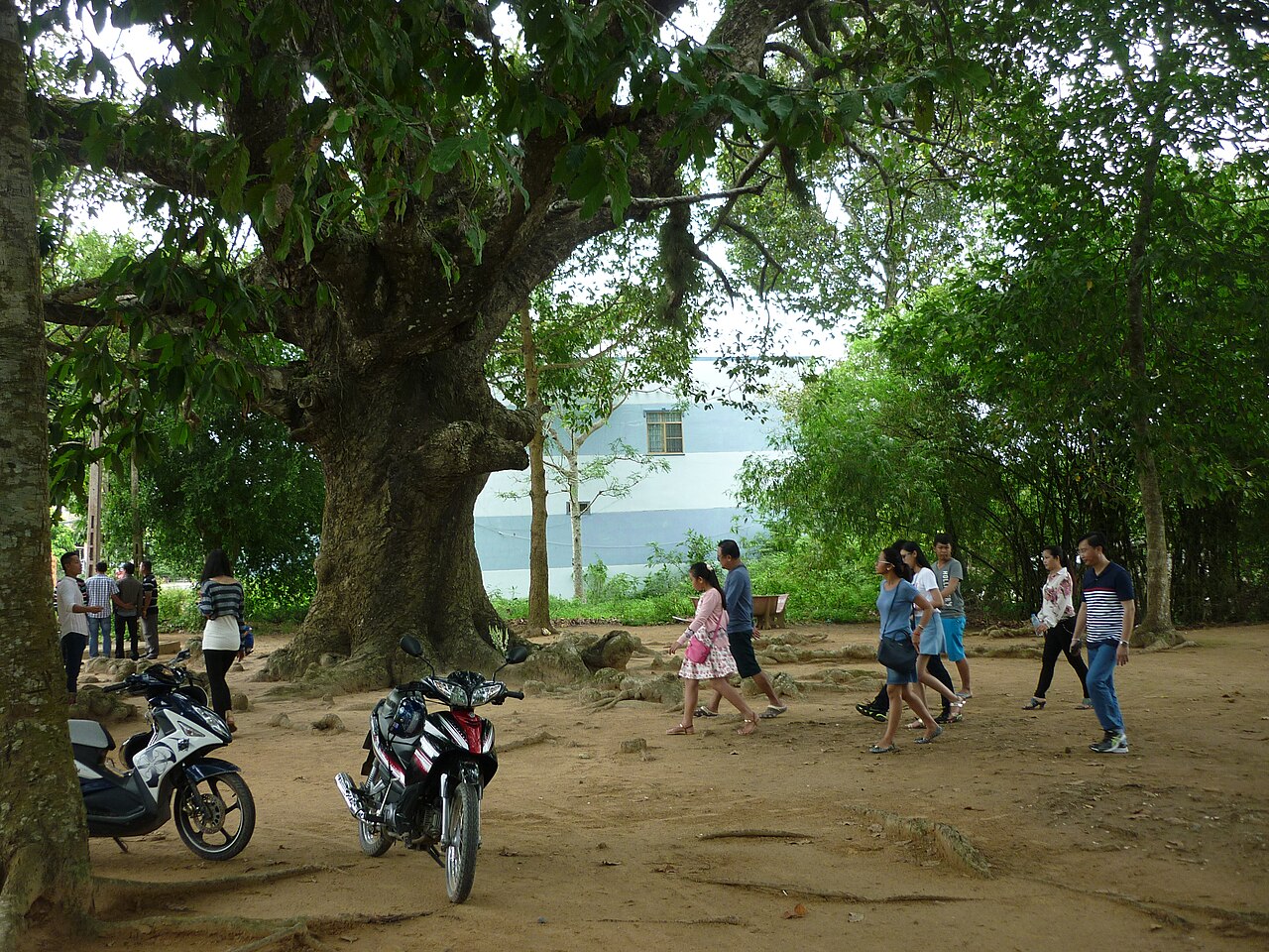
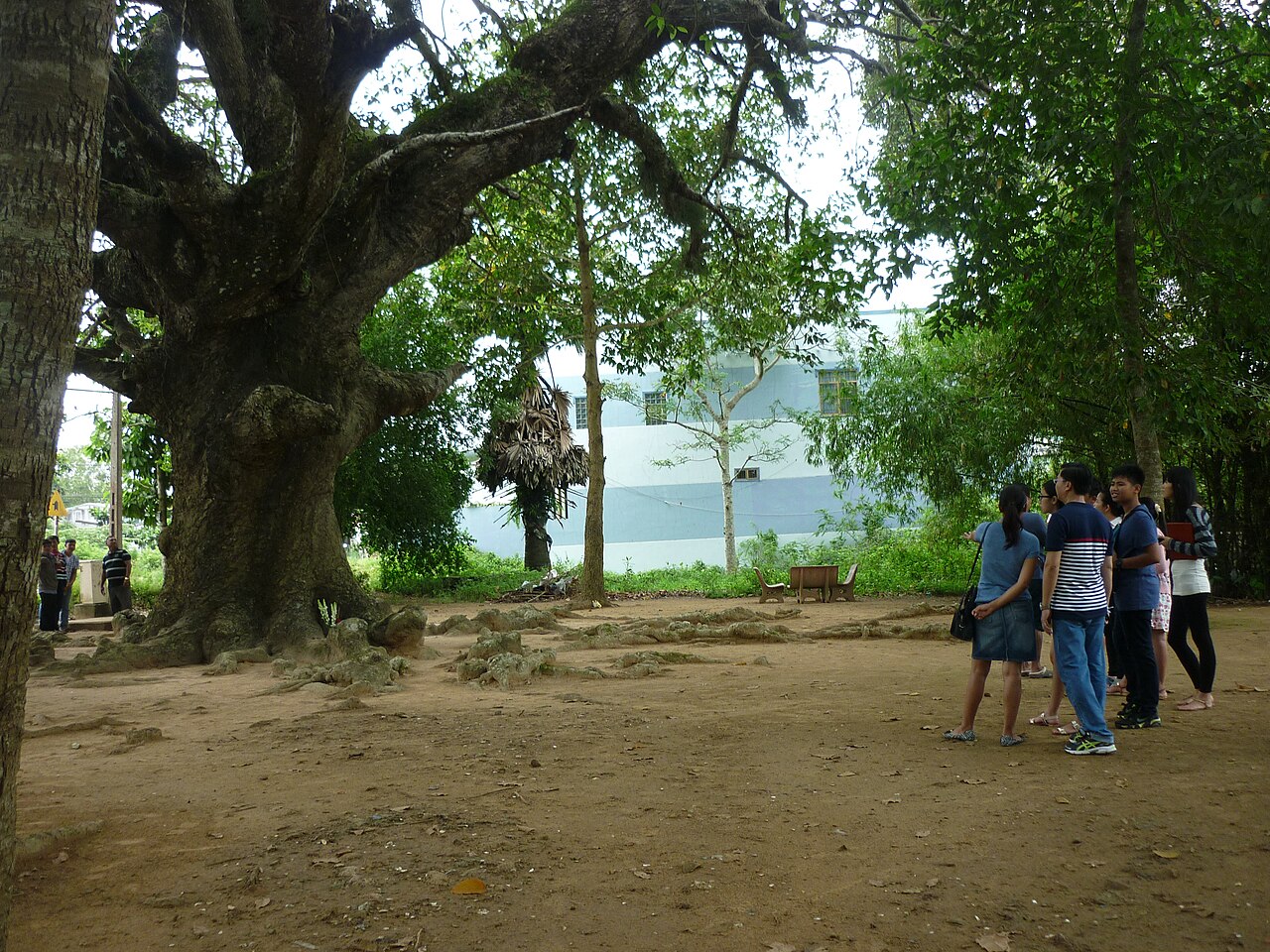
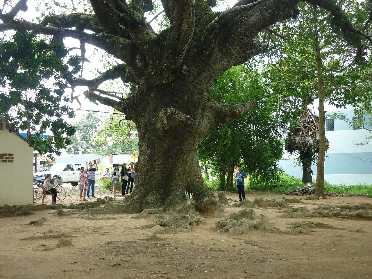
Trà Vinh town, the former provincial capital, is compact and less commercially intense than Can Tho or My Tho. A large freshwater lake, Ao Ba Om, sits close to the town centre and is framed by ancient trees and a Khmer pagoda on its bank.
Khmer pagodas and cultural sites
More than 140 Khmer Buddhist pagodas (chùa Khmer) are recorded across the area. Several are among the oldest and most architecturally elaborate in the delta, featuring tiered rooflines, naga balustrades and interior murals depicting Jataka tales.
Âng Pagoda (Chùa Âng) near Ao Ba Om lake dates to the seventeenth century in its founding and contains an important collection of religious statuary. Hang Pagoda (Chùa Hang), sometimes called the Bat Pagoda, is built around a large cave-like space in its grounds and houses a colony of fruit bats in the surrounding trees. Nodol Pagoda is the site of the annual Ok Om Bok festival held on the full moon of the tenth lunar month, during which the Khmer community offers new rice to the moon and races ghe ngo (long dragon boats) on the adjacent waterway.
Alongside the Khmer tradition, several Vietnamese Buddhist pagodas and a Cham mosque community are also present, reflecting the area's layered settlement history.
Natural sites and wildlife
Trà Vinh is one of the better locations in the delta for observing large wading and roosting birds. Long Binh Stork Garden (Vườn Cò Long Bình), a privately managed cajeput grove near the town of Cau Ke, supports a year-round colony of several species including painted storks and herons. The site is most active at dusk when birds return to roost.
Coastal areas along the East Sea (South China Sea) shore include mangrove belts and low sandy beaches. These stretches see little tourist infrastructure by delta standards and are subject to erosion; the coastline is actively changing.
Canal boat trips along smaller waterways offer close views of nipa-palm-lined banks, floating vegetable gardens and fish-farming enclosures. Hiring a local boat is typically arranged through guesthouses or at riverside landing points in the former provincial capital.
Food and markets
The Khmer culinary tradition gives Trà Vinh's food profile a distinct character. Bún nước lèo, a rice-noodle soup made with fermented fish paste (mắm bò hóc), pork and prawns, is considered the area's signature dish and differs noticeably from the Vietnamese versions found elsewhere in the delta. Bánh tét lá cẩm, sticky-rice cylinders coloured with a local leaf, are a common market item.
The central market in Trà Vinh town operates across early morning hours and carries fresh produce, dried river fish, palm sugar and hand-woven textiles with Khmer geometric motifs. Smaller floating markets exist on some canals, though these are less prominent here than in the upper delta.
Coconut products are a local economic staple; the area produces significant volumes of coconut for processing, and fresh coconut water is present at roadside stalls throughout.
Getting there and moving around
Trà Vinh town lies roughly 130 kilometres south of Ho Chi Minh City by road. The most common approach is by bus from the Mien Tay bus station in Ho Chi Minh City, with services running throughout the day. The journey crosses the Mekong on ferries or the Rach Mieu Bridge depending on the route taken. No commercial airport serves the area; the nearest with scheduled domestic services is Can Tho.
Within the area, motorbike rental is the practical choice for reaching pagodas and villages scattered across the flat countryside. Road surfaces are generally sealed on main routes, though narrow canal-side tracks can be unpaved. Xe om (motorbike taxi) drivers are available in the town centre.
Ferry crossings across smaller arms of the Mekong remain in operation and form part of some routes between Trà Vinh and adjacent areas. Timetables and availability vary by season and infrastructure investment, and conditions change.
When to visit and common misunderstandings
The dry season, roughly November to April, brings lower humidity and reduced flooding, and coincides with several of the major Khmer festivals including Ok Om Bok and Chol Chnam Thmay (Khmer New Year in April). The wet season from May to October brings heavy afternoon rain and can affect access to low-lying sites and coastal areas.
A common assumption among first-time visitors is that Trà Vinh is simply a smaller version of the more-visited delta towns. The Khmer cultural dimension — pagoda architecture, festival calendar, food traditions — is substantial enough that a visit focused solely on river scenery will miss the more distinctive aspects of the area.
A second frequent error is treating the administrative merger as if the place itself no longer exists. Trà Vinh as a geographic and cultural area remains intact; it is now administered as part of Vinh Long, but local identity, place names and the sites described here are unchanged.
Clima por mês
Médias de longo prazo, não uma previsão. Período de referência: 2015–2024. Fonte: ERA5 reanalysis (Copernicus) via the Open-Meteo archive API.
Show the numbers
| Mês | Máx. °C | Mín. °C | Chuva em mm | Dias de chuva | Humidity % |
|---|---|---|---|---|---|
| January | 29.2 | 23.4 | 34 | 6 | 78 |
| February | 30.1 | 23.5 | 8 | 2 | 74 |
| March | 31.8 | 24.4 | 16 | 3 | 74 |
| April | 33.0 | 25.3 | 69 | 11 | 75 |
| May | 32.5 | 25.7 | 213 | 25 | 81 |
| June | 30.9 | 25.0 | 268 | 28 | 87 |
| July | 30.1 | 24.7 | 326 | 29 | 88 |
| August | 30.4 | 24.7 | 297 | 30 | 87 |
| September | 30.1 | 24.4 | 363 | 29 | 88 |
| October | 29.8 | 24.1 | 377 | 28 | 89 |
| November | 29.5 | 24.3 | 192 | 19 | 85 |
| December | 29.1 | 23.6 | 93 | 11 | 81 |
Atualmente parte de
Referenciado por
Fontes
- ERA5 climate normals — Copernicus / Open-Meteo (CC BY 4.0) truy cập 30 August 2026
Supports: monthly temperature and rainfall normals, and elevation - Tra Vinh (Q36615) — Wikidata (CC0 1.0) truy cập 30 August 2026
Supports: coordinates, area, population - Tra Vinh — Wikipedia (CC BY-SA 4.0) truy cập 30 August 2026
Supports: background
Current Última verificação: 31 August 2026. Rules, fares and prices change — check the official source before acting on anything here. Report a mistake.
Picture credits (4)
The natural beauty of the countryside Tra Vinh !!!!, Chinhlinhtran, CC BY-SA 4.0, Wikimedia Commons · The natural beauty of the countryside Tra Vinh !!!, Chinhlinhtran, CC BY-SA 4.0, Wikimedia Commons · The natural beauty of the countryside Tra Vinh !!, Chinhlinhtran, CC BY-SA 4.0, Wikimedia Commons · The natural beauty of the countryside Tra Vinh !, Chinhlinhtran, CC BY-SA 4.0, Wikimedia Commons