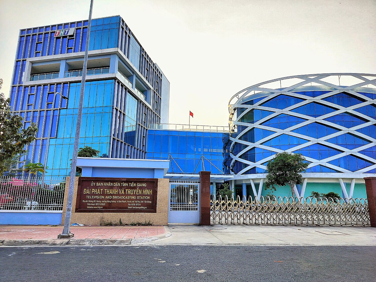
The place itself has not changed, and this page continues to cover it.
National Assembly Resolution 202/2025/QH15 on the rearrangement of provincial-level administrative units
Administrative status
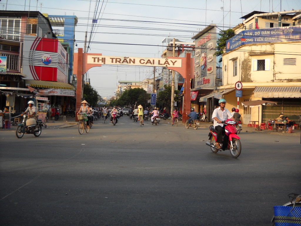
Tien Giang existed as a province from an early date until 30 June 2025, when Vietnam's national consolidation of provincial-level units took effect. On 1 July 2025 it merged into Dong Thap, which now governs the entire area. The district tier was abolished at the same time, so administration runs directly from Dong Thap province down to commune level.
The merger is an administrative change only. My Tho, the river islands, the canal networks and every other feature of the former province are in the same locations they have always been. Travellers, businesses and residents who knew the area as Tien Giang will find the geography entirely familiar; only the official address header has changed.
What the area is known for
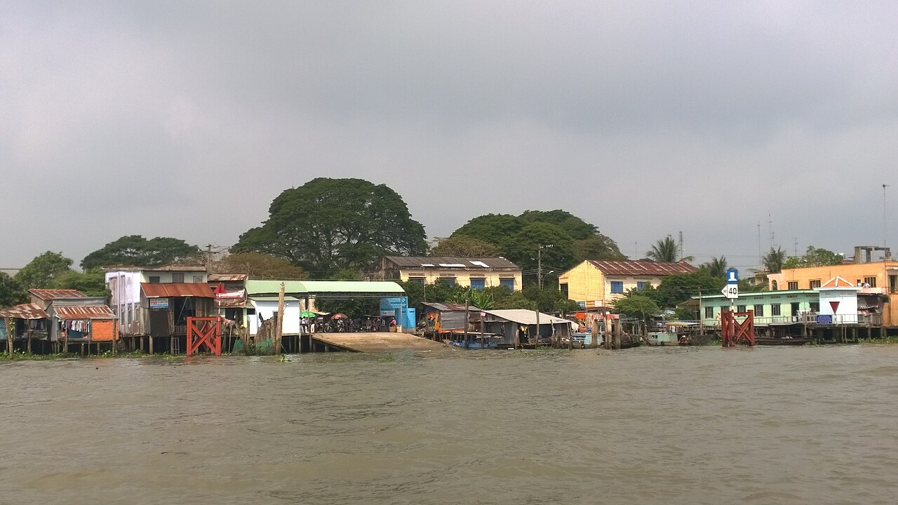
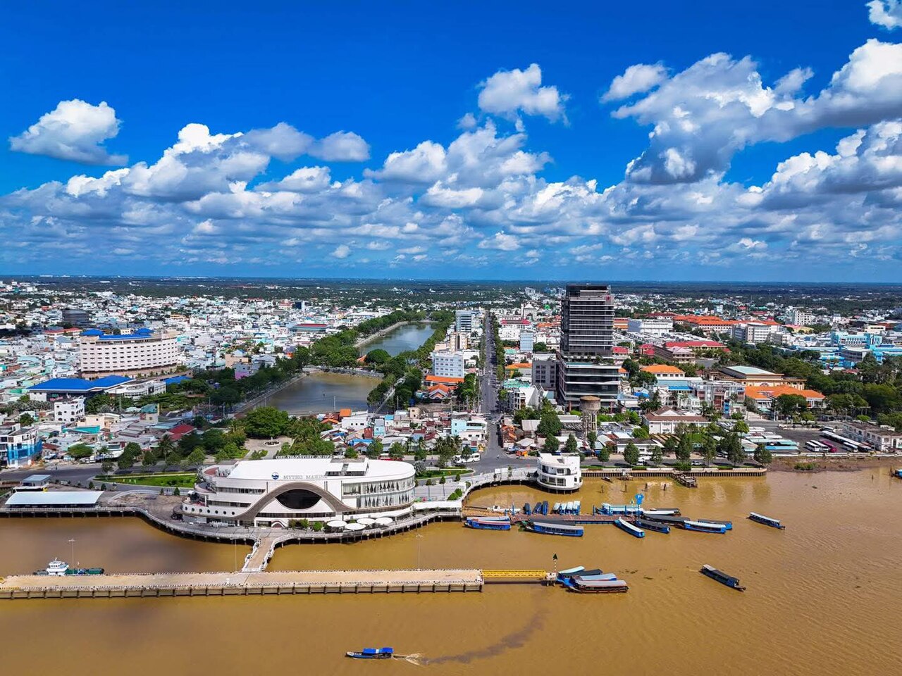
My Tho is the principal city of the former province and one of the oldest urban centres in the Mekong Delta, founded in the late seventeenth century by Chinese migrants from Guangdong. It sits on the northern bank of the Tien River, the upper branch of the Mekong as it fans out towards the sea.
The area is particularly associated with:
- River-island excursions — Con Phung (Phoenix Island), Con Lan, Con Qui and Con Tan Long sit in the Tien River and are reached by small wooden motorboats. Each island has a different character, from orchards and bee farms to a former religious commune.
- Hu tieu My Tho — a noodle soup distinct from the Saigon version, using thin dry-processed rice noodles, pork bone broth, and a combination of pork, shrimp and offal. It is considered one of the defining dishes of the Delta.
- Coconut candy workshops in Ben Tre, just across the river — often visited on the same day trip, though Ben Tre is a separate area.
- Vinh Trang Pagoda, a large nineteenth-century Buddhist complex in My Tho notable for its eclectic façade blending Vietnamese, Khmer and European decorative elements.
Getting there and around
My Tho lies roughly 70 km south-west of Ho Chi Minh City. The main road link is via National Route 1 and then Route 50, or the newer expressway that has significantly shortened journey times. Open-tour buses, private coaches and ride-hailing services all operate this corridor.
There is no passenger rail connection to the former Tien Giang area; the nearest mainline station is in Ho Chi Minh City.
Within the area, travel divides between road and water. Motorbike is the most flexible option for exploring canal-side villages and market roads not served by buses. Boat hire — either through guesthouses or directly from the My Tho riverfront — is the only practical way to visit the river islands. Boats range from small wooden craft for a few passengers to larger covered vessels for groups.
The expressway has made My Tho a feasible day trip from Ho Chi Minh City, and many visitors structure it that way, though staying overnight allows early-morning market and river activity that day-trippers miss.
Seasons and weather
The former province shares the Mekong Delta's two-season tropical pattern. The dry season runs roughly from November to April, with low humidity, clear skies and reliable roads. The wet season runs from May to October, bringing heavy afternoon downpours and, in the later months, elevated river levels that can affect low-lying canal paths and some island access points.
Flooding in the Delta is not the catastrophic event outsiders sometimes imagine; local life continues largely as normal, with boats substituting for paths where needed. However, the highest water levels (typically September to October) can make some agricultural areas less accessible and change the appearance of the islands considerably — trees appear to rise directly from the water.
The period around Tet (the Lunar New Year, falling in January or February depending on the year) sees heavy domestic travel and reduced availability of guesthouses and boat operators, who often return to their home villages. Prices vary by season.
Things to see and do
My Tho central market is active from very early morning and reflects the Delta's agricultural abundance: river fish, tropical fruit, fresh rice noodles and live poultry. It is a working market, not a tourist market.
Vinh Trang Pagoda, dating to the early nineteenth century, contains a large collection of statues including a 20-metre reclining Buddha added in the twentieth century. The site is free to enter and is active for worship.
River island circuits typically take three to four hours by motorboat and combine short walks through orchards (longan, rambutan, dragon fruit depending on season), visits to small workshops producing coconut candy or rice wine, and honey-tasting at bee farms. The experience is commercially structured but the agricultural activity is genuine.
Cycling along canal dykes away from My Tho gives a quieter perspective on Delta life — villages connected by narrow paths, wooden bridges, and water hyacinth-covered canals. Bicycles can be hired in My Tho.
The area also produces Phu My peanuts, considered among the finest in the south, and several varieties of mam (fermented fish paste) used throughout Delta cooking.
Where to stay
Accommodation concentrates in My Tho city, ranging from budget guesthouses near the riverfront to mid-range hotels. The riverfront strip has the most convenient access to boat departures and the market district.
A smaller number of homestays operate on and near the river islands, offering overnight stays with local families. These vary considerably in what they provide; facilities are generally basic. Advance arrangement is usually necessary.
Because My Tho is so commonly visited as a day trip from Ho Chi Minh City, the overall accommodation stock is smaller than a destination of equivalent popularity might otherwise have. Booking ahead matters more during Vietnamese public holidays and the Tet period than at other times of year.
Common misunderstandings
"Tien Giang province" no longer exists as an address. Since 1 July 2025, official documents, postal addresses and government services use Dong Thap as the province. If a business listing or map still shows Tien Giang as a current province, it has not been updated.
The islands are not deserted. Con Phung and the others have permanent residents and functioning agriculture. Visitor circuits are organised, and independent wandering off the main paths is not always welcomed by landowners.
My Tho and Ben Tre are not the same place. They are often sold together as a single tour, but Ben Tre is across the Tien River and was a separate province before its own 2025 merger. The coconut candy and nipa-palm villages most associated with that product are in the Ben Tre area, not in the former Tien Giang.
Hu tieu My Tho is not interchangeable with Saigon-style hu tieu. The noodle texture, broth clarity and toppings differ in ways that matter to people who care about the dish. My Tho versions use noodles dried rather than kept fresh, giving a firmer bite.
월별 기후
장기 평균값이며 예보가 아닙니다. 기준 기간: 2015–2024. 출처: ERA5 reanalysis (Copernicus) via the Open-Meteo archive API.
Show the numbers
| 월 | 최고 기온 °C | 최저 기온(°C) | 강수량(mm) | 강수일수 | Humidity % |
|---|---|---|---|---|---|
| January | 30.9 | 22.4 | 44 | 6 | 76 |
| February | 32.0 | 22.6 | 13 | 3 | 72 |
| March | 33.6 | 23.9 | 21 | 4 | 71 |
| April | 34.2 | 25.0 | 77 | 11 | 74 |
| May | 33.0 | 25.5 | 204 | 25 | 82 |
| June | 31.3 | 24.8 | 231 | 28 | 87 |
| July | 30.4 | 24.6 | 309 | 29 | 88 |
| August | 30.7 | 24.6 | 283 | 29 | 87 |
| September | 30.5 | 24.2 | 370 | 29 | 89 |
| October | 30.4 | 23.7 | 369 | 28 | 89 |
| November | 30.6 | 23.5 | 176 | 20 | 85 |
| December | 30.4 | 22.7 | 82 | 11 | 79 |
Places within Tien Giang
현재 편입된 곳:
참조 페이지
출처 목록
- ERA5 climate normals — Copernicus / Open-Meteo (CC BY 4.0) 접근됨 30 August 2026
Supports: monthly temperature and rainfall normals, and elevation - Tien Giang (Q36666) — Wikidata (CC0 1.0) 접근됨 30 August 2026
Supports: coordinates, area, population - Tien Giang — Wikipedia (CC BY-SA 4.0) 접근됨 30 August 2026
Supports: background
Current 마지막 확인: 31 August 2026. Rules, fares and prices change — check the official source before acting on anything here. Report a mistake.
Picture credits (5)
Trụ sở Đài Phát thanh - Truyền hình Tiền Giang, Kwozyn, CC0, Wikimedia Commons · Thị trấn Cai Lậy, Tiền Giang, NDS at Vietnamese Wikipedia, CC BY-SA 3.0, Wikimedia Commons · trungydang, CC BY 3.0, Wikimedia Commons · Tram dung chan Mekong 1, vi:User:Ngocnb, Public domain, Wikimedia Commons · Phường Mỹ Tho, Duong Dang Khoi, CC0, Wikimedia Commons