2025 constitutional amendment and Law on Organisation of Local Government establishing a two-tier local government
Administrative status
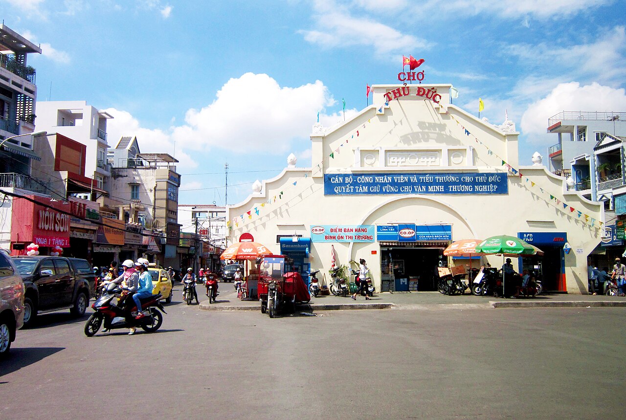
Thủ Đức functioned as a provincial city (thành phố thuộc thành phố) within Ho Chi Minh City until 30 June 2025, when Vietnam's nationwide consolidation of provincial-level units took effect. Under that reform, Thủ Đức ceased to exist as a distinct administrative unit; the area it covered reverted to direct administration under Ho Chi Minh City. The district tier was simultaneously abolished across the country, so no district-level successor exists either.
The place itself has not changed. Streets, landmarks, universities and neighbourhoods remain exactly where they were. Only the administrative framing is different.
What the area is known for
The Thủ Đức area built its identity around three overlapping functions: higher education, technology and manufacturing. The Vietnam National University Ho Chi Minh City campus system, one of the largest in the country, is anchored here, drawing tens of thousands of students and establishing a pronounced youth demographic.
Saigon Hi-Tech Park (SHTP), established in 2002 in the Tân Phú ward zone of Thủ Đức, attracted semiconductor assembly, electronics and software investment from companies including Intel, which opened a significant chip-assembly and test facility there. The Linh Trung Export Processing Zones further reinforced the industrial character of the northeastern corridor.
The Thu Duc River and the network of canals running through the area have historically shaped local settlement patterns, and riverside communities retain a different texture from the denser inland streets.
Geography and neighbourhoods
The area covers the northeastern fringe of Ho Chi Minh City, bounded roughly by the Saigon River to the west and south and by Bình Dương province to the north. It was formed in 2021 from the merger of three former districts: Thủ Đức, Quận 9 and Quận 2.
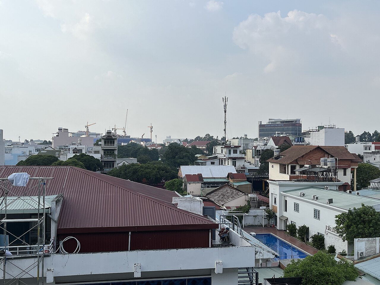
Quận 2's former territory, particularly the Thảo Điền and An Phú areas, developed into the city's principal expatriate and diplomatic residential zone, with a concentration of international schools, serviced apartments and restaurants oriented toward non-Vietnamese residents. Quận 9's former territory around Long Trường and Long Bình remains more suburban and industrial. The original Thủ Đức zone, centred on Linh Xuân and Tam Bình, is dominated by the university belt.
Getting there
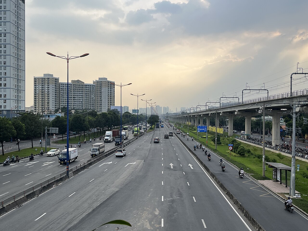
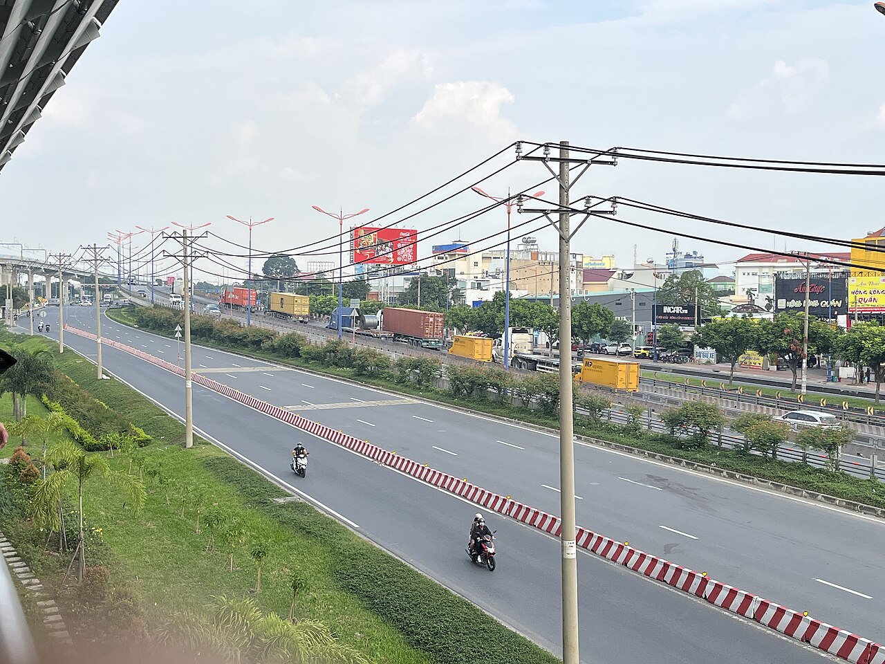
The area is connected to central Ho Chi Minh City by Metro Line 1, which runs from Bến Thành station through to Suối Tiên at the northeastern edge — the first metro line in Vietnam, opened in late 2024. The line serves several stations across the former Thủ Đức territory, making it the most straightforward route for travellers arriving from the city centre without a private vehicle.
Road access is via Mai Chí Thọ Boulevard (formerly the East-West Highway extension), Hanoi Highway (Xa lộ Hà Nội) and, for the northern zones, National Route 1. Traffic on these corridors is heavy during morning and evening peak hours. Ride-hailing apps operate throughout the area. Waterway ferry services cross the Saigon River to connect with districts on the western bank, though schedules vary.
When to go
The area shares Ho Chi Minh City's two-season tropical climate. The dry season runs broadly from December to April, with lower humidity and minimal rainfall. The wet season runs from May to November, bringing daily afternoon downpours that can temporarily flood low-lying canal-adjacent streets. Prices vary by season, particularly for serviced apartments in the expatriate zones. There is no strong tourism seasonality here; the area functions primarily as a residential and working district rather than a visitor destination.
Common misconceptions
Visitors sometimes assume that because Thủ Đức was nominally a separate city, it functioned as an independent urban centre with its own distinct centre and identity clearly differentiated from Ho Chi Minh City. In practice it was always perceived as part of the Ho Chi Minh City urban agglomeration, and daily life, commerce and infrastructure were deeply integrated with the wider metropolis.
The 2025 administrative reform occasionally causes confusion: the name Thủ Đức may still appear on maps, GPS applications and informal usage, but it no longer denotes an administrative unit. Addressing for official purposes now falls under Ho Chi Minh City commune-level units directly. Navigation by neighbourhood name or street address remains reliable regardless of the administrative change.
Where it is
被以下页面引用
来源
- Thủ Đức (Q32005019) — Wikidata (CC0 1.0) 访问于 30 August 2026
Supports: coordinates, area, population - Thủ Đức — Wikipedia (CC BY-SA 4.0) 访问于 30 August 2026
Supports: background
Current 最后核实: 31 August 2026. Rules, fares and prices change — check the official source before acting on anything here. Report a mistake.
Picture credits (4)
11-01-2025 Thu Duc Station 4, Xuanphuocle, CC0, Wikimedia Commons · Chợ Thủ Đức, Bùi Thụy Đào Nguyên, CC BY-SA 3.0, Wikimedia Commons · 11-01-2025 Line 1 Ho Chi Minh City metro for Ben Thanh Station 1, Xuanphuocle, CC0, Wikimedia Commons · 11-01-2025 Line 1 Ho Chi Minh City metro for Ben Thanh Station 2, Xuanphuocle, CC0, Wikimedia Commons