2025 constitutional amendment and Law on Organisation of Local Government establishing a two-tier local government
Administrative status
Until 30 June 2025, Thanh Hóa city existed as a provincial-level city (thành phố trực thuộc tỉnh) within Thanh Hóa province. On 1 July 2025, Vietnam merged its 63 provincial-level units into 34 and abolished the district tier entirely, moving to a two-tier province/commune system. As part of that reorganisation, the city ceased to exist as a distinct administrative unit; the area it covered now falls directly under Thanh Hóa province. The place itself has not changed — the streets, neighbourhoods, landmarks and population remain — but the administrative boundary that defined it as a separate city no longer exists.
Character and setting
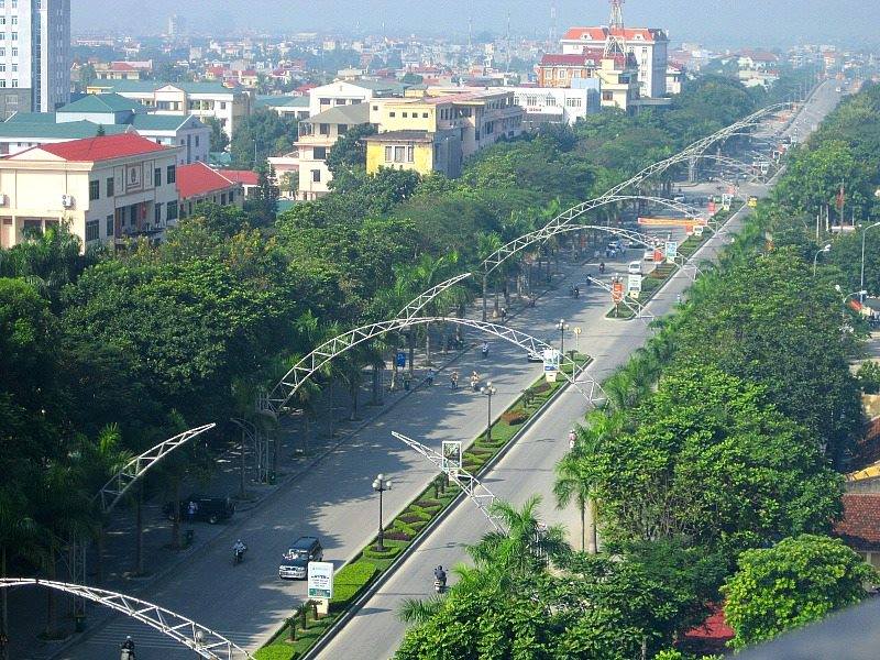
Thanh Hóa city occupies a low-lying plain on the northern bank of the Mã River, roughly 150 km south of Hanoi. It developed as a provincial capital and market town rather than as a major tourist hub, and its character reflects that: busy commercial streets, wholesale markets serving the surrounding rural hinterland, and a working infrastructure of bus terminals, train stations and logistics depots. The city is sometimes used as an overnight stop on the Hanoi–Huế corridor but rarely as a destination in its own right. Visitors more commonly pass through on the way to coastal areas or to historical sites within the broader Thanh Hóa province.
Getting there and away
The city is served by Thanh Hóa railway station, which sits on the main North–South line. Most express trains between Hanoi and Da Nang or Ho Chi Minh City stop here, though not all do; schedules change seasonally and should be verified before travel. Road connections are well developed: National Route 1A and the parallel North–South Expressway both pass through or near the urban area, making bus and private car travel straightforward. Open-tour sleeper buses running the Hanoi–Huế corridor stop at the central bus station. There is no commercial airport serving the city directly; the nearest airports with scheduled domestic services are at Hanoi (Noi Bai) to the north and Vinh to the south.
Climate and when to visit
The city has a humid subtropical climate with four loosely defined seasons. Winters (roughly December to February) are cool and overcast, with occasional drizzle but rarely cold enough for frost at this elevation. Spring (March to April) brings warmer temperatures and intermittent rain. The hot season runs from May to August, with temperatures regularly exceeding 35 °C and periodic influence from the dry Lào wind (gió Lào), a hot, desiccating wind from the west that is characteristic of north-central Vietnam. Typhoon-season rains arrive from September onward and can bring significant flooding to the low-lying plain. Prices vary by season for accommodation and transport.
Points of reference in the area
The city itself has limited dedicated visitor attractions, but several sites within the surrounding area are associated with it. Hàm Rồng Bridge, spanning the Mã River at the northern edge of the urban area, was heavily contested during the American War and became a symbol of local resistance; the original colonial-era structure was destroyed by air strikes and the current bridge is a later replacement. The Thanh Hóa Museum, located in the city centre, holds collections relating to the province's archaeology, ethnography and revolutionary history, including artefacts from the Bronze Age Đông Sơn culture, which takes its name from a site in the province. Coastal areas and the Lang Co–Sam Son beach zone lie within easy reach by road.
Practical considerations
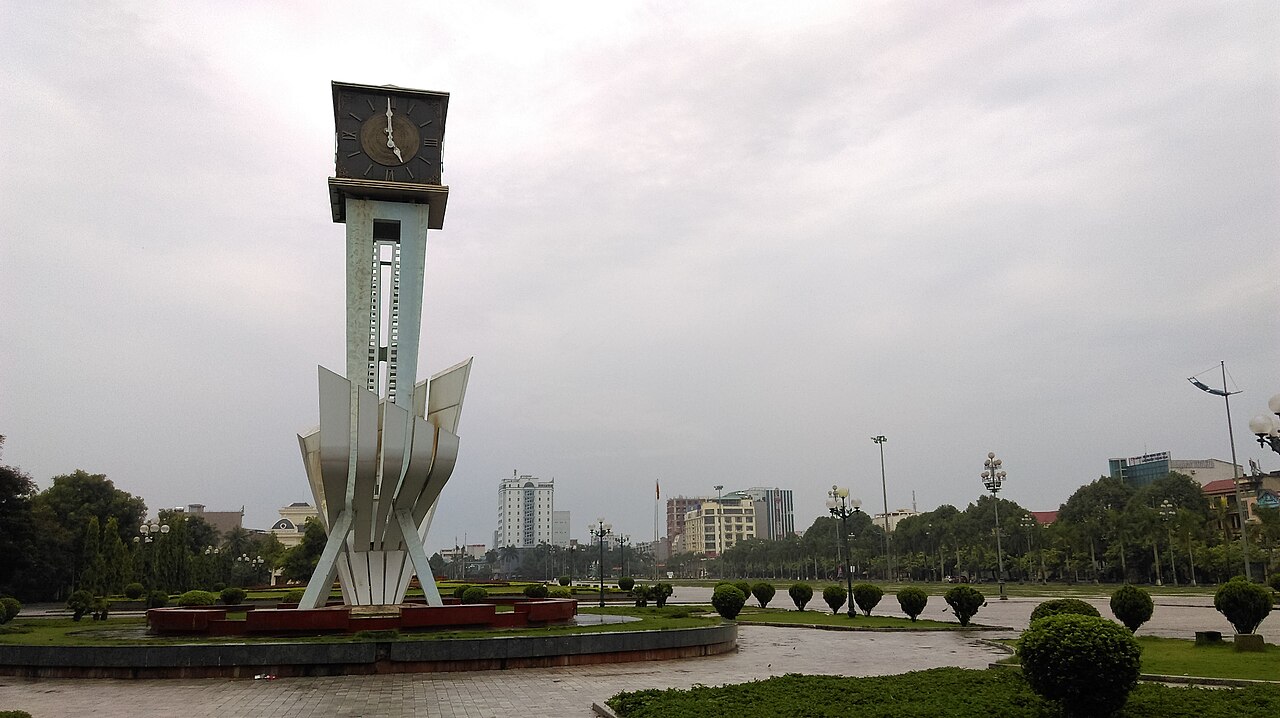
Accommodation in the former city area ranges from budget guesthouses near the bus station to mid-range business hotels catering to domestic travellers and commercial visitors. The central market area around Lam Sơn Square is a practical orientation point. Street food is concentrated around the market districts, with nem chua (fermented pork rolls) and bánh cuốn (steamed rolled rice pancakes) among the dishes most closely associated with Thanh Hóa in regional Vietnamese food culture. A common error among travellers is treating the city purely as a transit stop without accounting for the time needed to reach outlying sites, which can be further than they appear on provincial maps.
Where it is
Các nguồn
- Thanh Hóa (Q36175) — Wikidata (CC0 1.0) đã truy cập 30 August 2026
Supports: coordinates, area, population - Thanh Hóa — Wikipedia (CC BY-SA 4.0) đã truy cập 30 August 2026
Supports: background
Current Terakhir diverifikasi: 31 August 2026. Rules, fares and prices change — check the official source before acting on anything here. Report a mistake.
Picture credits (4)
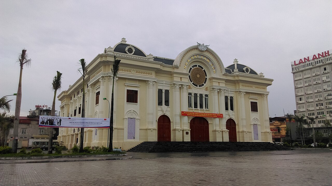
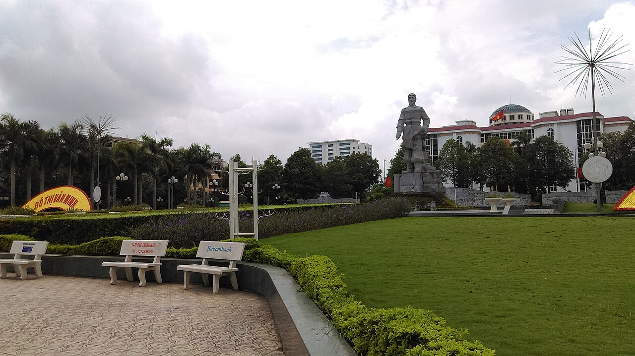
Le Loi avenue, Nguyenbadong, CC BY-SA 3.0, Wikimedia Commons · Nhà hát Lam Sơn, Thanh Hóa, Linhcandng ( thảo luận ), CC BY-SA 3.0, Wikimedia Commons · Quảng trường Lam Sơn, Thanh Hóa, Linhcandng ( thảo luận ), CC BY-SA 3.0, Wikimedia Commons · Tượng đài Lê Lợi, Lam Sơn, Thanh Hóa, Linhcandng ( thảo luận ), CC BY-SA 3.0, Wikimedia Commons