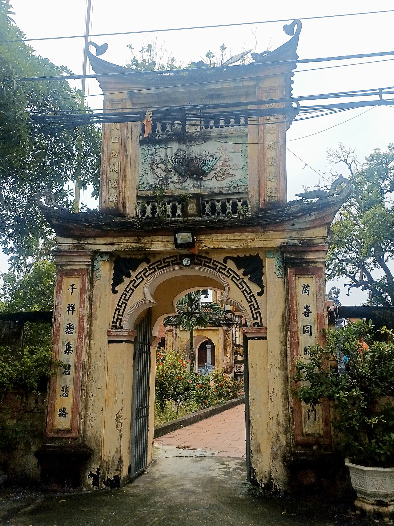
2025 constitutional amendment and Law on Organisation of Local Government establishing a two-tier local government
Administrative status
Until 30 June 2025, Thái Bình city functioned as the provincial capital and a thành phố trực thuộc tỉnh (provincial-level city) within Thái Bình province. Under Vietnam's administrative reform of 1 July 2025, the country moved from a three-tier to a two-tier system, abolishing the district level entirely and consolidating 63 provincial-level units into 34. The city designation no longer exists as a formal administrative category in this context. The area previously administered as Thái Bình city is now governed directly under the province-and-commune structure of Thái Bình province.
The place itself — its streets, buildings, markets and waterways — has not changed. The reform affects administrative boundaries and governance, not geography.

Character and setting
Thái Bình sits in the southern Red River Delta, surrounded by some of the most intensively farmed lowland in Vietnam. The landscape is overwhelmingly flat, crossed by dykes, irrigation channels and rivers feeding into the delta's distributary network. The urban core is compact, organised around the Trà Lý River, which runs east towards the coast.
The city has historically served as a hub for the surrounding agricultural communes, processing and distributing rice, seafood from the nearby coast, and goods along national road and river routes. It is not oriented towards leisure tourism, and most visitors arrive for business, family reasons or as a stop on longer journeys along the coast or towards Ninh Bình and Nam Định.
What the area is known for
Thái Bình province, and the city at its centre, has a long association with chèo, one of northern Vietnam's classical theatrical forms. The province is sometimes described as a heartland of this tradition, and performances, often attached to communal houses or local festivals, remain part of the cultural calendar.
The area is also associated with the production of bánh cáy, a dense, chewy confection made from glutinous rice, pork fat, ginger and various seeds, particular to this part of the delta. It is sold in markets and small shops throughout the urban area.
Historically, Thái Bình was one of the provinces most severely affected by the 1945 famine, and this period is acknowledged in local commemorative culture and museums.
Getting there and around
Thái Bình is connected to Hà Nội by national road and is reachable by bus from Hà Nội's Giáp Bát and Nước Ngầm terminals. Journey times vary with traffic, which on this route is predominantly agricultural and freight traffic during harvest periods. There is no railway station serving the city directly.
Connections south towards Nam Định and Ninh Bình, and east towards the coast at Đồng Châu, operate by road. Within the urban area, motorbike taxi and ride-hailing services are the standard means of getting around. The flat terrain makes cycling practical for shorter distances.
Travellers combining a Red River Delta circuit with coastal and delta destinations sometimes pass through rather than stay; onward road connections are generally straightforward.
When to go
The Red River Delta has four distinct seasons. Winters, from roughly November to March, are cool and sometimes cold by Vietnamese standards, with persistent drizzle and low cloud common from January through February. Summers bring heat and high humidity, with typhoon-season rainfall peaking between July and September — flooding of low-lying areas is not unusual in severe years.
Spring, particularly March and April, and autumn, from October into November, offer the most settled conditions. The agricultural calendar, including rice harvests, shapes local activity levels and road traffic considerably.
Practical notes for visitors
Accommodation in the urban area is oriented towards domestic business travellers; options tend to be mid-range hotels and guesthouses. International-standard facilities are limited compared with Hà Nội or Hải Phòng. Prices vary by season and local demand.
A common misreading of the area is to expect coastal scenery within the city: the coast is some distance east and requires onward transport. The immediate urban environment is functional rather than scenic. Markets, particularly the central market area, give a clearer picture of the delta's agricultural economy than any formal attraction.
Vietnamese is the working language throughout; English is spoken in some hotels but rarely elsewhere. Banking and ATM facilities are available in the urban centre.
Where it is
Fonti
- Thái Bình (Q36497) — Wikidata (CC0 1.0) consultato 30 August 2026
Supports: coordinates, area, population - Thái Bình — Wikipedia (CC BY-SA 4.0) consultato 30 August 2026
Supports: background
Current Ultima verifica: 31 August 2026. Rules, fares and prices change — check the official source before acting on anything here. Report a mistake.
Picture credits (4)
Chùa Tống Vũ, Bánhmỳchảo, CC0, Wikimedia Commons · Banner-khoa-hoc-autocad-thai-binh, Trung Tâm Tin Học Thái Bình, CC BY-SA 4.0, Wikimedia Commons · Khoa-hoc-tin-hoc-van-phong, Trung Tâm Tin Học Thái Bình, CC BY-SA 4.0, Wikimedia Commons · Cổng làng Luật Trung, Thái Bình thập niên 1920, Không rõ (Unknown), Public domain, Wikimedia Commons