The place itself has not changed, and this page continues to cover it.
2025 constitutional amendment and Law on Organisation of Local Government establishing a two-tier local government
Tam Dao sits in the Tam Dao mountain range on the edge of the Red River Delta, administratively part of Phu Tho province since Vietnam's July 2025 provincial consolidation, which merged the former Vinh Phuc province into Phu Tho. Its combination of cooler temperatures, persistent cloud and relative proximity to Hanoi has made it a long-standing weekend destination for delta residents.
Character and setting
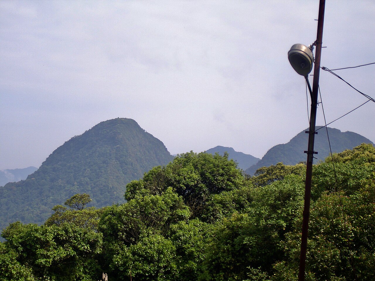
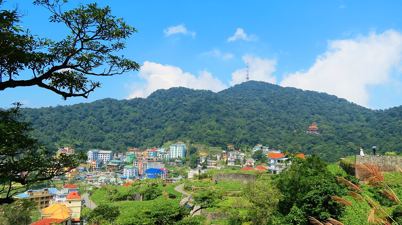
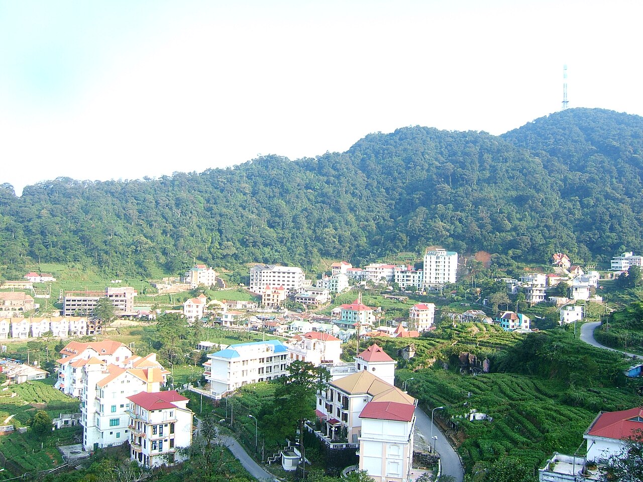
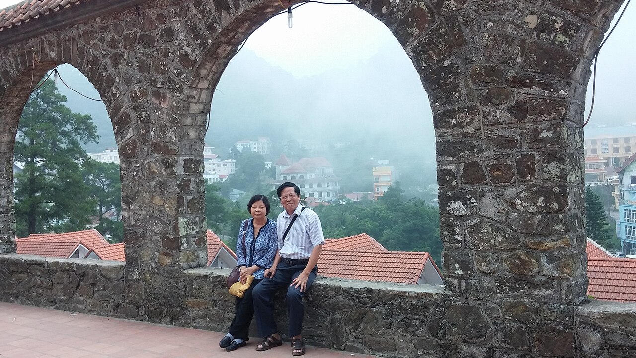
The town occupies a narrow ridge and the slopes immediately below it, hemmed in on three sides by forested peaks. Its French colonial origins are legible in the stone church that anchors the central area — a modest but well-preserved structure that has become one of the most photographed landmarks in town, particularly when low cloud wraps around it. The overall atmosphere is that of a hill station that never grew into a city: one main street, a concentration of small hotels and restaurants, and a backdrop of dense subtropical forest.
Fog is not an occasional feature but a near-constant one for much of the year. On mornings when it lifts, the views across the delta are wide and clear; on many afternoons it returns thick enough to reduce visibility to a few metres. Visitors who find this atmospheric tend to appreciate Tam Dao; those expecting reliable sunshine may not.
Administrative note: Phu Tho province
Until 1 July 2025, Tam Dao was part of Vinh Phuc province. Following Vietnam's nationwide consolidation of 63 provinces and cities into 34, Vinh Phuc was merged and Tam Dao now falls within Phu Tho province. The district tier has been abolished entirely under the same reform; Tam Dao's local administration operates at the commune and ward level beneath the province. Maps, signs and official documents issued before July 2025 will still reference Vinh Phuc, which can cause confusion. The town itself has not moved or been renamed.
What to see
The stone church is the architectural centrepiece of the town, built during the French colonial period. It is an active place of worship and is most striking in the early morning or when shrouded in mist.
The TV tower steps lead from the upper part of town to a telecommunications tower on the ridge above. The climb is steep but the path is well-defined, and the tower area gives a sense of the forested terrain surrounding the settlement. The question of whether a written permit or fee is currently required for this route is unsettled; conditions on the ground should be confirmed locally.
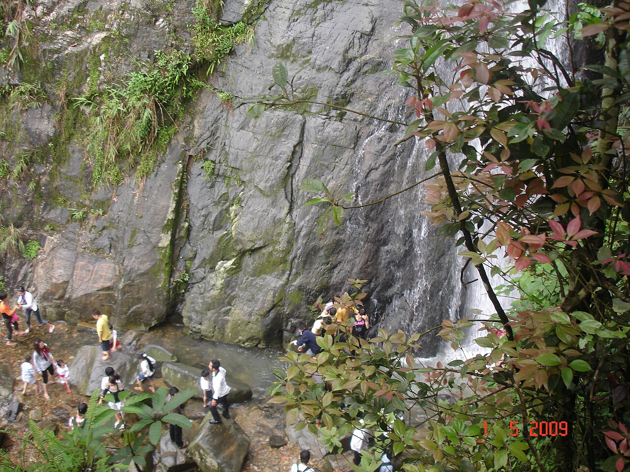
Silver Waterfall (Thác Bạc) is located below the main town, accessible on foot or by vehicle. It is a multi-tiered cascade fed by the forested slopes of the Tam Dao range and is the most visited natural feature in the immediate area. Trails around it vary in condition by season.
The broader Tam Dao National Park surrounds the town and contains primary and secondary forest with significant biodiversity, though access to more remote sections requires planning beyond a casual day visit.
Weekend crowds
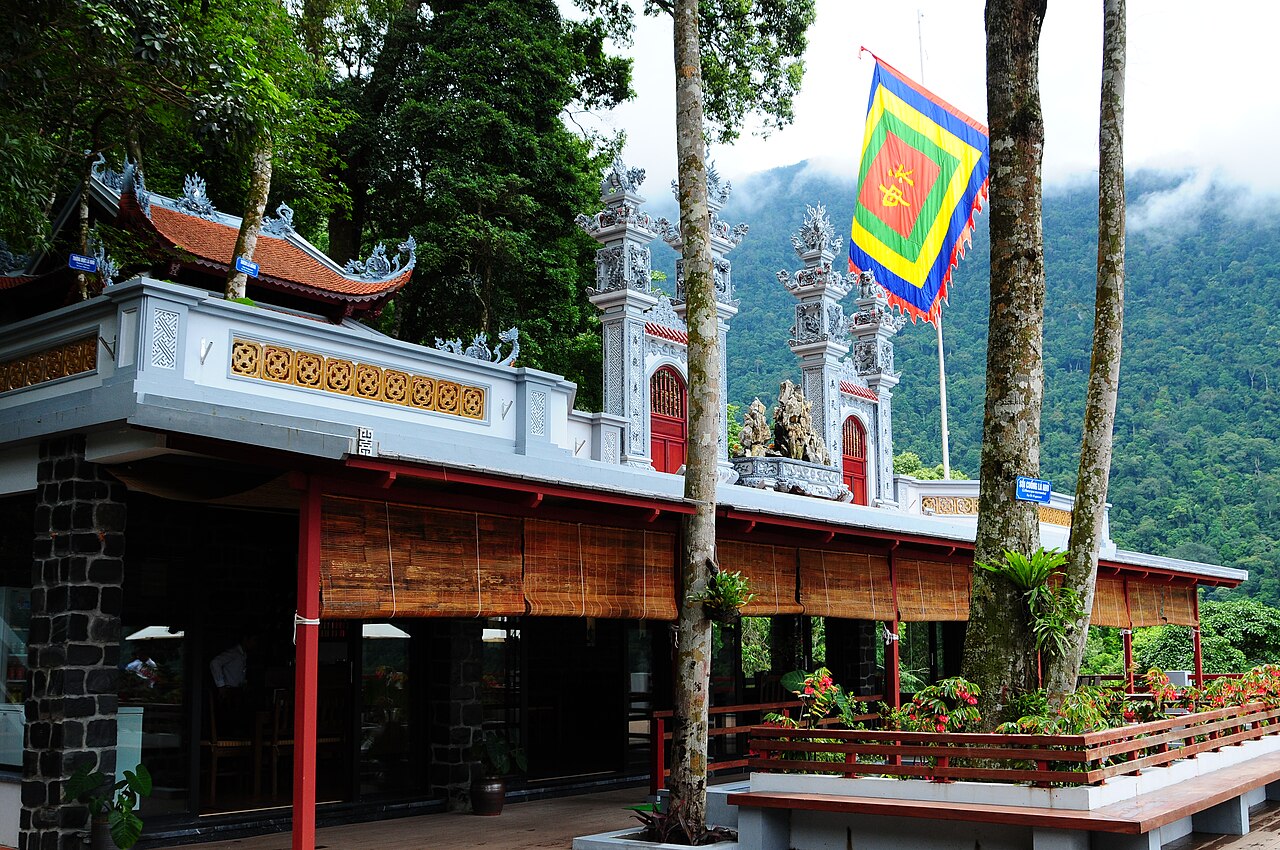
Tam Dao's proximity to Hanoi — and to the cities of the wider delta — means that Friday evenings and Saturdays see a substantial influx of domestic visitors. Hotels fill quickly, the main street becomes congested, and restaurants operate at capacity. The atmosphere on a busy weekend is lively but very different from the quiet that the same town offers on a weekday. Visitors who prefer the latter should plan accordingly. Vietnamese public holidays amplify the weekend pattern considerably; accommodation booked at short notice during those periods is unreliable.
Getting there
The most common approach is by road from Hanoi. The journey takes the traveller northwest through the delta and then up a winding mountain road to the town. Private car and motorbike are the most flexible options; there are also shared minibuses running from Hanoi's My Dinh area, though schedules and operators change. The road up from the base of the mountain is narrow in places and the surface can be affected by rain.
There is no rail connection to Tam Dao town itself. The nearest city with significant onward connections is Hanoi. Thai Nguyen lies to the northeast and is reachable by road, though it is not a common gateway for arriving visitors. Fares and journey times vary by operator and vehicle type.
When to go
The months from April through October are generally regarded as the most practical for a visit, primarily because Tam Dao serves as an escape from the intense heat of the Red River Delta summer. Even in these months, rain is frequent, and the fog described above is present year-round. The winter months from November through February bring cooler, sometimes cold temperatures at altitude and occasional mist that differs from the warm-season cloud; the town is quieter but the weather is less comfortable for walking. For broader context on Vietnam's regional weather patterns, see When to go: weather by region.
Practical information
There is an entry fee for Tam Dao National Park; the structure of fees and what they cover is subject to change and should be confirmed on arrival. ATMs are present in town but the selection is limited compared to Hanoi; the practical page on money, ATMs and cards has general guidance. Mobile coverage is generally adequate on the main street but can be patchy on forest trails; see SIM cards and eSIMs for connectivity options. Visitors entering Vietnam should verify current entry requirements through official channels; the Vietnam e-visa page outlines the general system. General awareness of common tourist-area issues is covered in Safety and common scams.
月別気候
長期平均値であり、予報ではありません。 参照期間: 2015–2024. 出典: ERA5 reanalysis (Copernicus) via the Open-Meteo archive API.
Show the numbers
| 月 | 最高気温 °C | 最低気温 °C | 降水量(mm) | 雨天日数 | Humidity % |
|---|---|---|---|---|---|
| January | 13.8 | 8.3 | 110 | 15 | 80 |
| February | 15.1 | 9.3 | 81 | 13 | 81 |
| March | 18.7 | 12.9 | 117 | 19 | 85 |
| April | 22.2 | 15.5 | 131 | 16 | 84 |
| May | 24.7 | 18.3 | 288 | 21 | 85 |
| June | 26.1 | 19.9 | 358 | 22 | 84 |
| July | 25.7 | 19.7 | 382 | 24 | 86 |
| August | 25.0 | 19.4 | 491 | 27 | 89 |
| September | 24.1 | 18.7 | 360 | 23 | 86 |
| October | 21.6 | 15.8 | 181 | 14 | 78 |
| November | 19.2 | 13.4 | 71 | 11 | 78 |
| December | 14.5 | 8.8 | 46 | 9 | 73 |
Where it is
Also known as / see also
近隣
参照元
出典
- ERA5 climate normals — Copernicus / Open-Meteo (CC BY 4.0) アクセス日 30 August 2026
Supports: monthly temperature and rainfall normals, and elevation - Tam Đảo (Q7680446) — Wikidata (CC0 1.0) アクセス日 30 August 2026
Supports: coordinates, area, population - Tam Đảo — Wikipedia (CC BY-SA 4.0) アクセス日 30 August 2026
Supports: background - Tam Đảo National Park — Wikipedia (CC BY-SA 4.0) アクセス日 29 August 2026
Supports: carried over from the first build
Current 最終確認: 29 August 2026. Rules, fares and prices change — check the official source before acting on anything here. Report a mistake.
Picture credits (6)
Ba dinh nui Tam Dao, Nhcuong81, CC BY 3.0, Wikimedia Commons · Thac bac-tam dao, vi:User:Nhcuong81, CC BY 3.0, Wikimedia Commons · Phong cảnh Tam Đảo, Unknown, CC BY 3.0, Wikimedia Commons · Khu du lịch Tam Đảo, Viethavvh at vi.wikipedia, Public domain, Wikimedia Commons · Nguyen Tam, CC BY-SA 3.0, Wikimedia Commons · Tam Dao 7-2015, Kentaro Nka, CC BY-SA 4.0, Wikimedia Commons