The place itself has not changed, and this page continues to cover it.
2025 constitutional amendment and Law on Organisation of Local Government establishing a two-tier local government
What Sam Son is
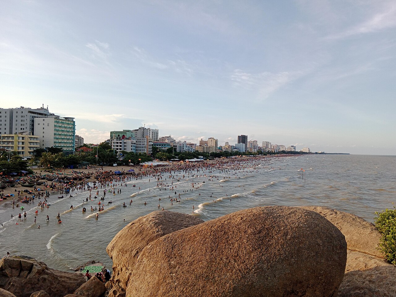
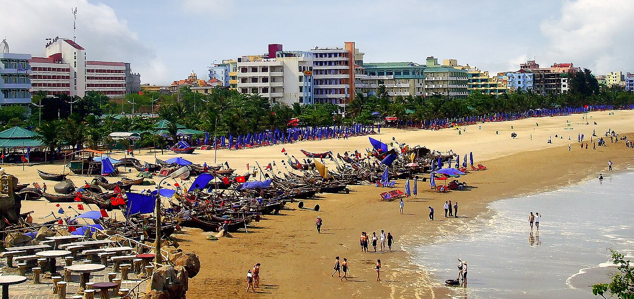
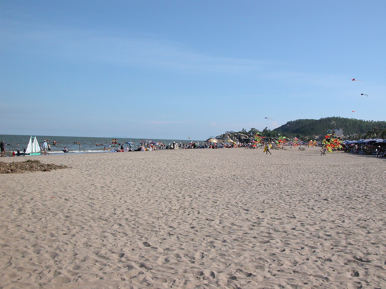
Sam Son is a beach resort on the coast of Thanh Hoa, facing the Gulf of Tonkin. The town's identity is inseparable from the beach itself — a long, gently shelving strip of grey-gold sand backed by hotels, seafood restaurants, and vendor stalls. Unlike resort towns built with international tourism in mind, Sam Son is shaped by and for Vietnamese domestic visitors: school groups, extended families, and workers on organised trips. Foreign visitors are a small minority and most services are not structured around them.
The place is functional rather than refined. Accommodation runs from budget guesthouses close to the seafront to larger hotel blocks. The promenade is lively in the evenings during the summer season, with street food, beach games, and karaoke audible from most directions. Outside peak months, the town quiets considerably and some businesses close entirely.
Truong Le mountain and the headland
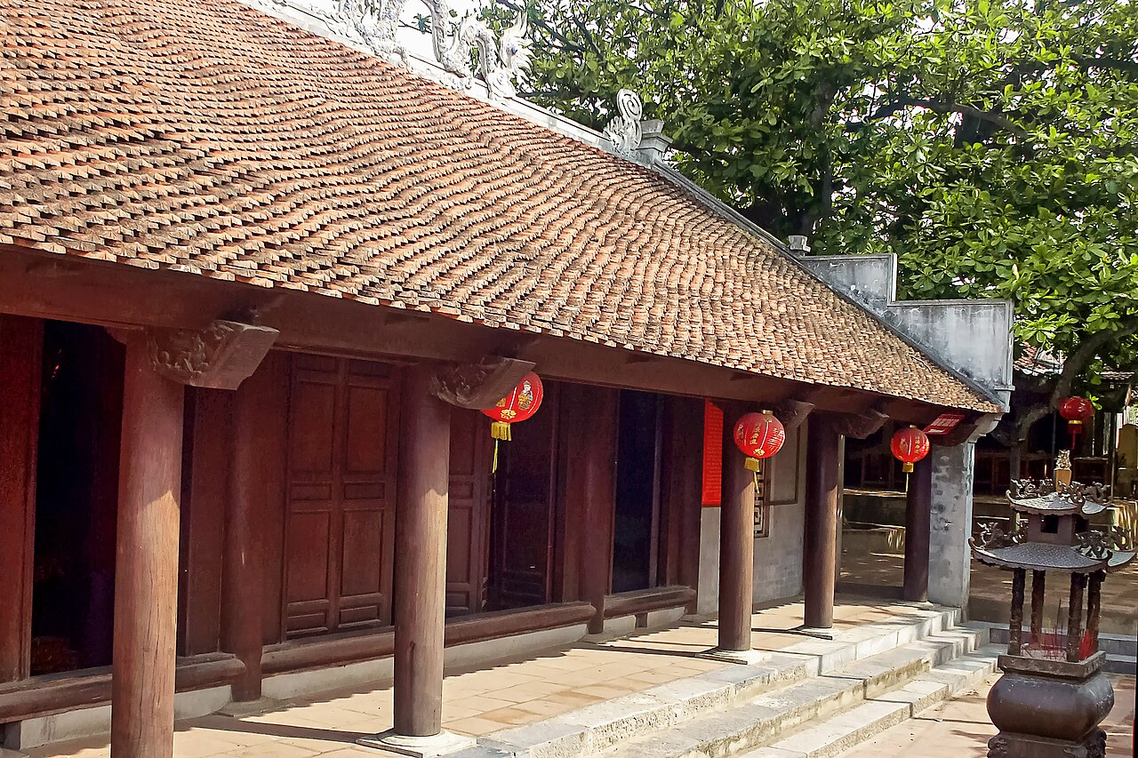
At the southern end of the beach, Truong Le mountain (Núi Trường Lệ) rises to roughly 100 metres and forms the town's most distinctive landform. A road and path system runs across the headland, passing a number of temples and viewpoints looking back over the bay and the town. The Hon Trong Hon Mai rock formations — two large offshore boulders visible from the headland — are a recognised local landmark and appear frequently in domestic travel photography of Sam Son.
The headland also holds a small fish market area at its base where boats land catches in the early morning. This is separate from the main commercial seafood strip and is worth noting for anyone interested in how the local fishing economy intersects with the resort.
Seafood
Seafood is central to eating in Sam Son. The restaurants and stalls along the seafront and on the streets behind it specialise in fish, squid, crab, clams, and shrimp sourced from local boats and from wider Gulf of Tonkin fisheries. Grilling over charcoal is a common preparation method; steaming and hotpot are also standard. Diners typically select live or fresh seafood from display tanks or ice beds and agree a price before cooking — a format familiar across Vietnamese coastal towns.
Thanh Hoa province has its own regional flavour profile, leaning toward moderate heat and fermented condiments. Mắm tôm (shrimp paste) appears as a dipping accompaniment. The local nem chua (fermented pork rolls) associated with Thanh Hoa more broadly are available in town and are a locally produced product distinct from versions found elsewhere in Vietnam.
Prices vary by season. The summer peak brings elevated costs for seafood and accommodation alike.
Climate and when to visit
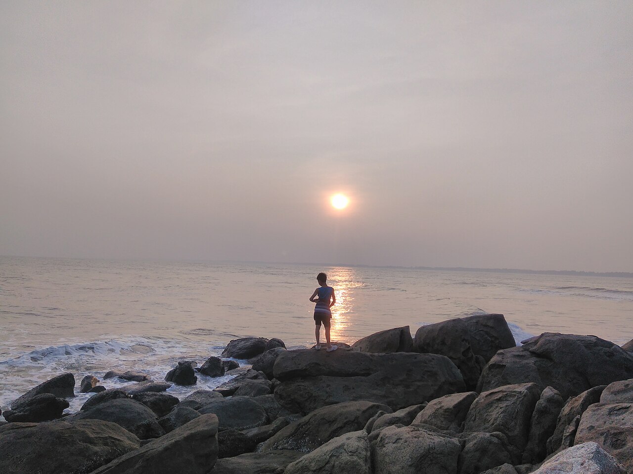
Sam Son's climate follows a clear seasonal arc. The coolest and driest months fall between December and February, when temperatures are mild by Vietnamese standards but the sea is not warm enough for comfortable swimming for most visitors. Spring sees temperatures rise steadily through March and April, with rainfall also beginning to increase.
The main beach season runs from May through August, when temperatures reach their highest and domestic visitor numbers peak, particularly in July and August. August is also the wettest month of that warm period. September marks the start of a significant autumn rainy season — the wettest months of the year fall in September and October — which coincides with the broader north-central coastal pattern of typhoon-season rainfall. By November the rainfall drops away sharply and temperatures cool again.
The practical consequence is that the beach is most accessible May to August but also most crowded. Outside those months Sam Son is quiet; some accommodation and restaurants operate reduced services. See When to go: weather by region for broader regional context.
Getting to Sam Son from Hanoi
Sam Son sits roughly 160 km south of Hanoi, making it a manageable day-trip by car, though most visitors stay at least one night. The primary route from Hanoi follows National Highway 1A south to Thanh Hoa city, then a shorter road east to the coast — a journey of around three to four hours depending on traffic, which is heavy on Friday afternoons and Sunday evenings during the summer season.
The Hanoi–Ho Chi Minh City railway line stops at Thanh Hoa station, which is served by most north–south express trains. From Thanh Hoa station, Sam Son is accessible by taxi or local transport. Journey times from Hanoi vary by train category. Buses and open-tour coaches also connect Hanoi to Thanh Hoa.
Nearby destinations reachable from Sam Son or on routes toward it include Ninh Binh and Cuc Phuong National Park.
Character and practical notes
Sam Son operates on a model common to Vietnam's domestic resort towns: dense, seasonal, and commercially concentrated. The main beach is managed, with sections designated for swimming and others for boat traffic. Beach vendors approach visitors regularly during peak season. The seafront road can be heavily congested in July and August.
Most signage and menus are in Vietnamese only. English is spoken at some larger hotels but is not common in restaurants and shops. This is not unusual for a destination oriented toward domestic visitors, but is worth noting for those who have not travelled outside Vietnam's international tourist circuits.
For practical travel preparation, see SIM cards and eSIMs, Money, ATMs and cards, Vietnam e-visa, and Safety and common scams.
Climate by month
Long-run averages, not a forecast. Reference period: 2015–2024. Source: ERA5 reanalysis (Copernicus) via the Open-Meteo archive API.
Show the numbers
| Month | High °C | Low °C | Rain mm | Rain days | Humidity % |
|---|---|---|---|---|---|
| January | 20.5 | 15.6 | 61 | 10 | 82 |
| February | 21.3 | 16.5 | 39 | 8 | 83 |
| March | 24.2 | 19.8 | 57 | 9 | 88 |
| April | 27.3 | 22.6 | 89 | 9 | 86 |
| May | 30.5 | 25.9 | 174 | 14 | 83 |
| June | 33.0 | 27.9 | 138 | 12 | 76 |
| July | 32.0 | 27.2 | 256 | 18 | 80 |
| August | 31.3 | 26.6 | 318 | 20 | 83 |
| September | 30.0 | 25.3 | 362 | 21 | 85 |
| October | 27.7 | 22.8 | 216 | 14 | 79 |
| November | 25.5 | 20.4 | 87 | 11 | 80 |
| December | 21.3 | 16.0 | 44 | 8 | 75 |
Practical notes
Where it is
Also known as / see also
Nearby
Referenced by
Sources
- ERA5 climate normals — Copernicus / Open-Meteo (CC BY 4.0) accessed 30 August 2026
Supports: monthly temperature and rainfall normals, and elevation - Sầm Sơn (Q4358513) — Wikidata (CC0 1.0) accessed 30 August 2026
Supports: coordinates, area, population - Sầm Sơn — Wikipedia (CC BY-SA 4.0) accessed 30 August 2026
Supports: background
Current Last verified: 31 August 2026. Rules, fares and prices change — check the official source before acting on anything here. Report a mistake.
Picture credits (6)
Bãi biển Sầm Sơn chụp từ hòn Cổ Giải, Bách Trần, CC0, Wikimedia Commons · Nhà thờ GX Sầm Sơn, Bách Trần, CC0, Wikimedia Commons · Bãi biển Sầm Sơn ở Thanh Hóa, Bùi Thụy Đào Nguyên, CC BY-SA 3.0, Wikimedia Commons · Bãi biển Sầm Sơn, Nguyễn Thanh Quang, CC BY-SA 4.0, Wikimedia Commons · Sunset in Truong Le Mountain, bkt92, CC BY-SA 4.0, Wikimedia Commons · Đền thờ thần Độc Cước, Bùi Thụy Đào Nguyên, CC BY-SA 4.0, Wikimedia Commons