National Assembly Resolution 202/2025/QH15 on the rearrangement of provincial-level administrative units
Overview
Quang Tri is a province on Vietnam's North Central Coast, centred on the city of Dong Ha. As an administrative unit it has existed in its current form since 1 July 2025, when Vietnam reorganised its 63 provincial-level units into 34, merging the former province of Quang Binh with the former Quang Tri into one enlarged province retaining the Quang Tri name and keeping Dong Ha as its administrative centre.
The province occupies a narrow east–west band of terrain that moves abruptly from low coastal plains and sand-barrier lagoons, through agricultural lowlands along the Ben Hai River, into the forested Truong Son mountains that form the border with Laos. National Highway 9 (now part of the Asian Highway network) crosses this range at the Lao Bao border gate, historically one of the most strategically significant corridors in mainland Southeast Asia.
Quang Tri is most widely associated with the former Demilitarised Zone (DMZ), the buffer strip established by the 1954 Geneva Accords along the 17th Parallel. During the American War, the province was the most intensively bombed area of Vietnam, and unexploded ordnance (UXO) clearance continues today across much of its rural land.
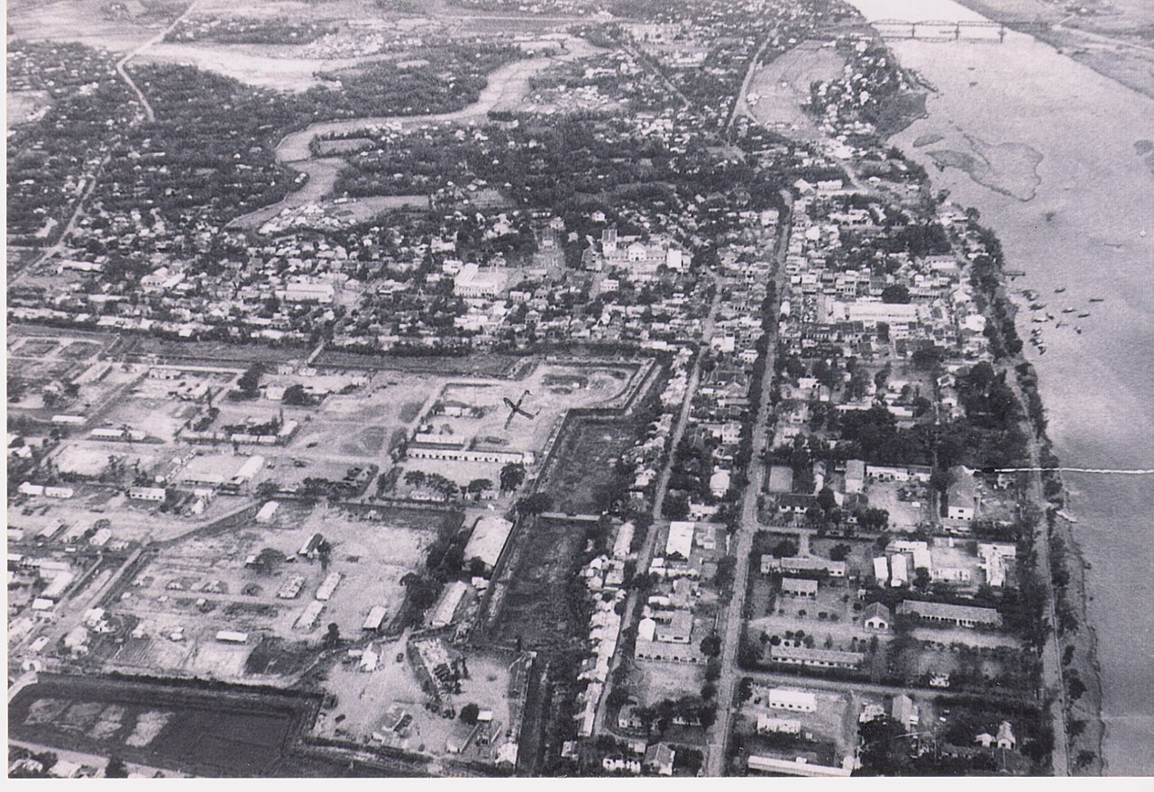
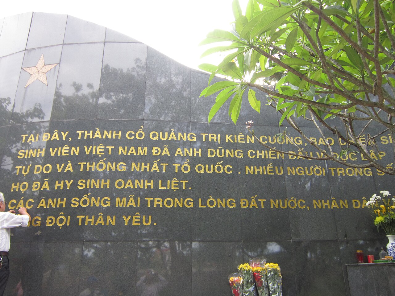
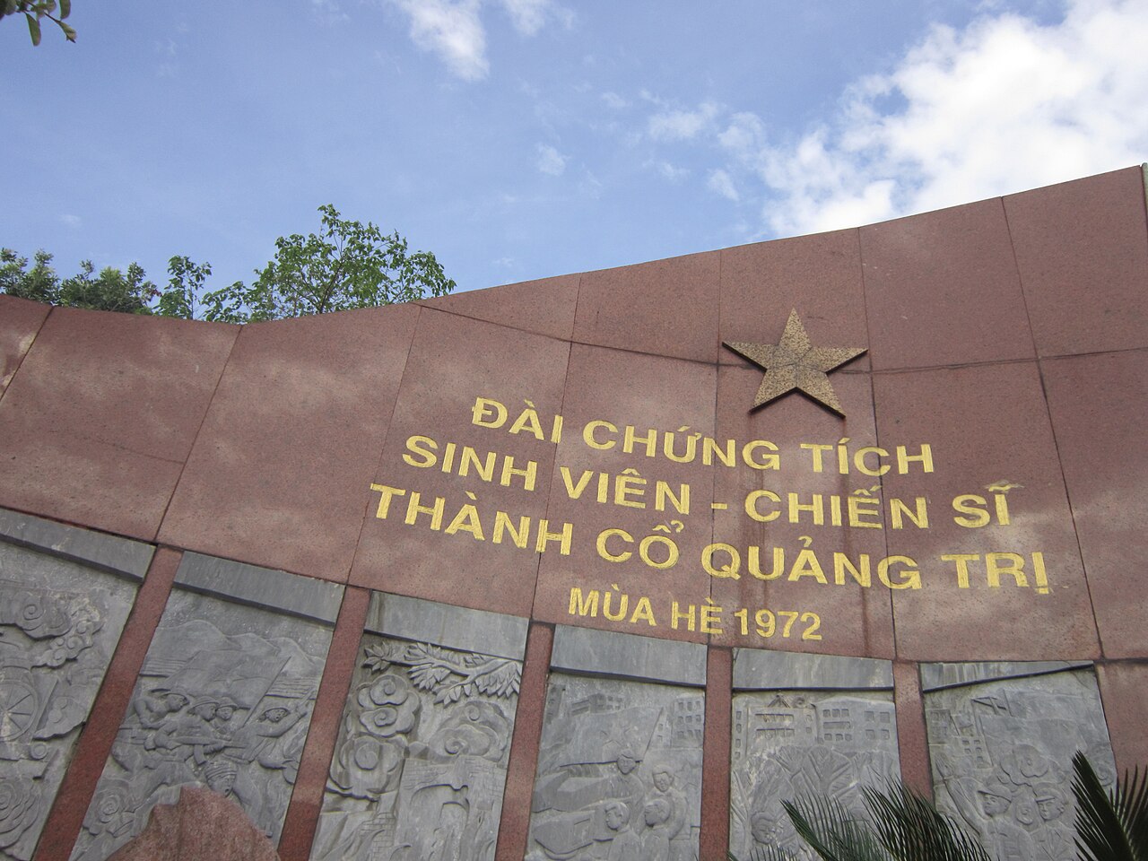
War history and memorials
The former DMZ and its surrounding landscape constitute one of the densest concentrations of war-related sites in Vietnam. The principal locations are clustered along and near Highway 9, making them manageable as a single route from Dong Ha westward.
- Hien Luong Bridge and Ben Hai River: The bridge at the 17th Parallel was the physical dividing line between North and South Vietnam from 1954 to 1975. A reconstructed version of the original bridge now stands alongside a museum at the site.
- Vinh Moc Tunnels: Unlike the better-known Cu Chi tunnels near Ho Chi Minh City, Vinh Moc was a complete underground village where approximately 600 residents lived for several years to escape aerial bombardment. Roughly 1.7 km of tunnels are open to visitors.
- Khe Sanh Combat Base: The site of the 1968 siege, now a museum with preserved aircraft, artillery and personal effects in the western hills near Huong Hoa.
- The Rockpile, Camp Carroll and Con Thien: Former US Marine firebase positions visible from the highway, most with interpretive markers.
- Truong Son National Cemetery: The largest military cemetery in Vietnam, containing the graves of more than 10,000 North Vietnamese soldiers. The scale and layout are sombre and architecturally deliberate.
UXO risk in agricultural areas outside established sites is real. Visitors should remain on marked paths.
Landscape and natural sites
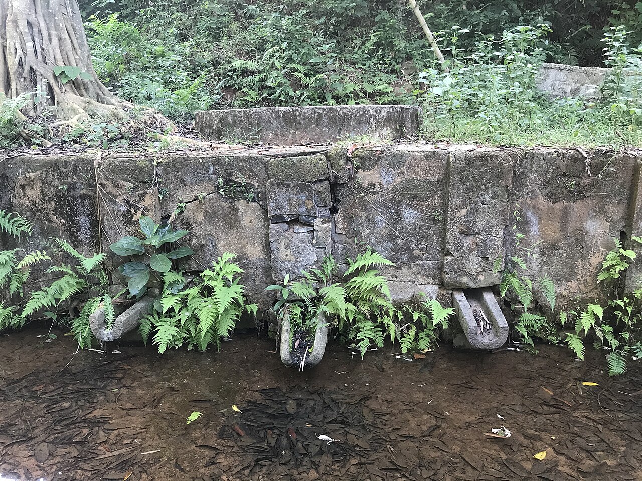
Beyond its war history, Quang Tri contains varied natural terrain that receives far less visitor attention than equivalent landscapes elsewhere in the region.
- Cua Tung and Cua Viet beaches: Low-key coastal strips at the mouths of the Ben Hai and Hieu rivers respectively, used primarily by domestic visitors. The water is calmer south of the headlands than on the open-sea beaches further north.
- Dakrong Bridge area: A suspension bridge in the mountain foothills marks the point where Highway 9 meets a road running north into the Dakrong valley, a landscape of karst and forest associated with the Ho Chi Minh Trail supply network.
- Ba Long Valley: A broad upland basin used for agriculture by ethnic minority communities, little visited by international travellers.
- Lao Bao: The western border town is a Special Economic Zone with a busy land crossing into Savannakhet Province, Laos. The surrounding hills form part of a larger transboundary forest zone.
The province is contiguous with Phong Nha-Ke Bang National Park country to the north and Bach Ma National Park to the south, making it a logical staging point for travellers moving between those two areas.
Climate and when to go
Quang Tri sits in the narrow climatic transition zone that separates northern and southern Vietnam's weather patterns, resulting in a rainfall calendar that differs from both. See When to go: weather by region for regional comparisons.
The driest and most reliably warm period runs from roughly March through June. Temperatures peak in May and June, when the Lao winds (locally called the gió Lào) blow hot and dry from the west, pushing daytime maxima well above 33 °C in the lowlands. This heat can be uncomfortable in the interior valleys.
The rainy season is strongly concentrated in the final quarter of the year. September brings the first heavy rainfall, and October and November are the wettest months by a considerable margin — the October figure is more than double that of any other month. Flooding along the coastal plains and river deltas is common in these months. Typhoons making landfall between roughly August and November can bring exceptional rainfall within short periods.
July and August are warm with moderate rainfall and represent a secondary shoulder period for DMZ visitors. The Truong Son mountains can be cooler and wetter than the coast at any time of year. Prices vary by season.
Getting there and around
Dong Ha, the provincial centre, sits on the main north–south railway line and on National Highway 1, placing it between Hue to the south and Dong Hoi to the north. The nearest airports are at Da Nang (roughly 160 km south) and Dong Hoi (roughly 90 km north).
- Rail: Reunification Express trains stop at Dong Ha on all long-distance north–south services. Journey times and schedules vary; advance booking is advisable during national holidays.
- Road: Open-tour buses and sleeper coaches connecting Da Nang or Hue with Dong Hoi or Hanoi pass through Dong Ha. Motorbike hire is widely available in Dong Ha for independent travel along Highway 9.
- Crossing to Laos: The Lao Bao–Densavanh border crossing is one of Vietnam's busiest land borders. Visa requirements for both countries should be confirmed before travel; arrangements that worked previously may have changed.
Within the province, the DMZ sites are spread across roughly 80 km of Highway 9. Organised day tours from Dong Ha or Hue cover the major points efficiently, while independent travellers typically use a hired motorbike or private car. There is no meaningful public bus network between individual sites.
Food and practical matters
Quang Tri's cuisine sits within the broader tradition of central Vietnamese cooking: smaller portions than in the south, a preference for fermented and pungent condiments, and rice-based dishes that differ from both the pho-centred north and the sweeter south. Bún bò Huế (spicy lemongrass beef noodle soup) is served throughout the province. The coastal areas produce dried shrimp, fish sauce and fermented shrimp paste (mắm ruốc) that are distinctive to this stretch of coast.
ATMs are available in Dong Ha; coverage in rural and mountain areas is limited. See Money, ATMs and cards for general guidance. Mobile coverage follows Highway 1 and Highway 9 reliably but drops in the Truong Son foothills. SIM cards and eSIMs from major Vietnamese networks provide the widest coverage in this terrain.
Accommodation is concentrated in Dong Ha, with guesthouses near the bus and rail terminals. A smaller cluster of homestays exists around the Vinh Moc area. The sites further west along Highway 9 have little or no accommodation; most visitors return to Dong Ha or continue to Hue or Dong Hoi.
For general safety information relevant to travel in Vietnam, see Safety and common scams.
Common misunderstandings
Several points regularly catch first-time visitors to Quang Tri off guard.
- The DMZ no longer exists as a physical boundary. The term is historical. The landscape along the Ben Hai River looks like the agricultural lowlands it has become; the significance is commemorative and political, not visually dramatic.
- The province name changed in scope in 2025. Since 1 July 2025, the province of Quang Tri is larger than the unit of the same name that preceded it, having absorbed the former Quang Binh. Older maps, guidebooks and travel accounts referring to Quang Binh as a separate province describe a unit that no longer exists administratively, though the places themselves — Dong Hoi, Phong Nha-Ke Bang — have not moved or changed.
- October and November flooding is not a minor inconvenience. Roads in the coastal plain can be impassable for days after heavy rain. Itineraries built around this period should have flexibility built in.
- The hot dry wind season is genuinely extreme. The gió Lào in May and June is not the same as ordinary summer heat; humidity drops sharply and temperatures in the interior can make outdoor activity at midday difficult.
- UXO awareness matters outside tourist sites. Straying from marked paths in rural areas, particularly in the western highlands, carries a real residual risk from unexploded ordnance that continues to affect local agricultural communities.
Iklim per bulan
Rata-rata jangka panjang, bukan prakiraan. Periode referensi: 2015–2024. Nguồn: ERA5 reanalysis (Copernicus) via the Open-Meteo archive API.
Show the numbers
| Bulan | Suhu tertinggi °C | Rendah °C | Curah hujan (mm) | Hari hujan | Humidity % |
|---|---|---|---|---|---|
| January | 23.3 | 18.0 | 131 | 20 | 87 |
| February | 24.9 | 18.4 | 100 | 14 | 86 |
| March | 28.6 | 21.1 | 78 | 14 | 85 |
| April | 31.7 | 23.3 | 89 | 14 | 80 |
| May | 33.5 | 25.5 | 145 | 18 | 77 |
| June | 35.1 | 27.3 | 81 | 13 | 65 |
| July | 33.5 | 26.4 | 172 | 16 | 70 |
| August | 33.4 | 26.4 | 125 | 15 | 71 |
| September | 31.5 | 24.8 | 325 | 21 | 81 |
| October | 27.9 | 22.8 | 556 | 26 | 87 |
| November | 26.3 | 21.6 | 368 | 24 | 88 |
| December | 23.2 | 19.0 | 315 | 23 | 88 |
Places within Quang Tri
Where it is
Also known as / see also
Di sekitar
Diserap
Dirujuk oleh
Các nguồn
- ERA5 climate normals — Copernicus / Open-Meteo (CC BY 4.0) đã truy cập 30 August 2026
Supports: monthly temperature and rainfall normals, and elevation - Quang Tri (Q36579) — Wikidata (CC0 1.0) đã truy cập 30 August 2026
Supports: coordinates, area, population - Quang Tri — Wikipedia (CC BY-SA 4.0) đã truy cập 30 August 2026
Supports: background
Current Terakhir diverifikasi: 31 August 2026. Rules, fares and prices change — check the official source before acting on anything here. Report a mistake.
Picture credits (7)
Dai chung tich sinh vien chien si thanh co 2, Prof MK, Public domain, Wikimedia Commons · Dai chung tich sinh vien chien si thanh co, vi:User:Prof MK, Public domain, Wikimedia Commons · 34. Quang Tri Citadel and City looking South Fall 1967, Sciacchitano, CC BY-SA 3.0, Wikimedia Commons · Giếng Ba Vòi, Thienn, CC BY-SA 4.0, Wikimedia Commons · Giếng cổ Ba Vòi - Quảng Trị, Thienn, CC BY-SA 4.0, Wikimedia Commons · Sân Vận động Đồng Hới, Quảng Bình, Linhcandng ( thảo luận ), CC BY-SA 3.0, Wikimedia Commons · Phongnhakebang1, Genghiskhanviet, Public domain, Wikimedia Commons