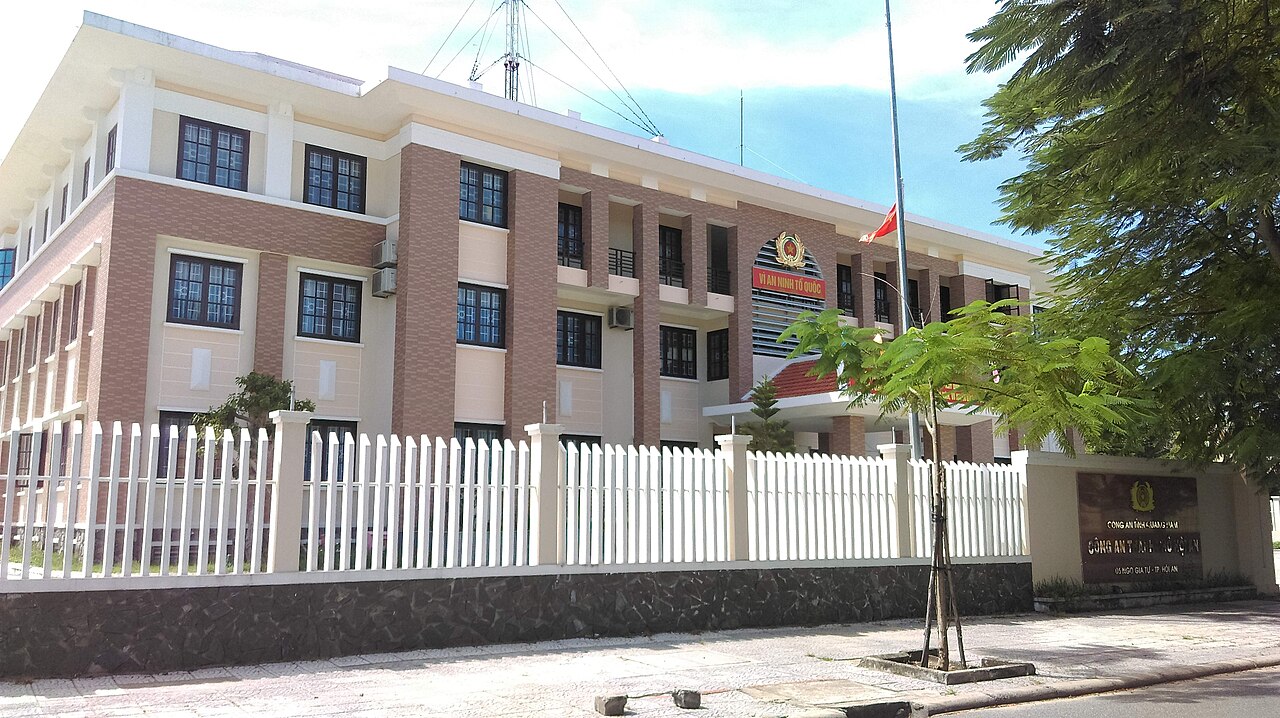
The place itself has not changed, and this page continues to cover it.
National Assembly Resolution 202/2025/QH15 on the rearrangement of provincial-level administrative units
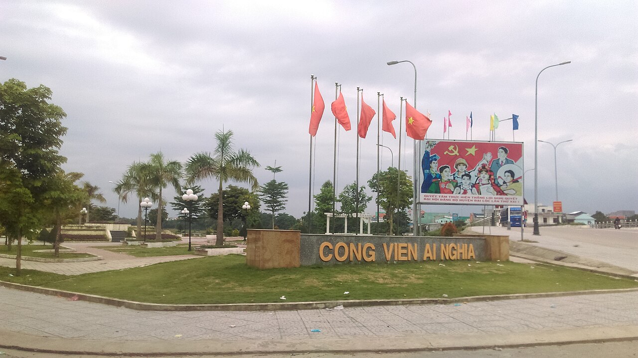
Administrative status
Quảng Nam existed as a provincial-level administrative unit for decades before being merged into Đà Nẵng on 1 July 2025, as part of Vietnam's nationwide consolidation from 63 provinces to 34. The district tier was abolished at the same time, and the area now operates under a two-tier province/commune system within the enlarged Đà Nẵng province.
This administrative change affects official addresses and government services but does not alter the geography, culture, infrastructure or character of any location. Hội An remains Hội An; Mỹ Sơn remains Mỹ Sơn. Travellers, residents and businesses will find the places themselves unchanged, though official documentation now references Đà Nẵng rather than Quảng Nam.
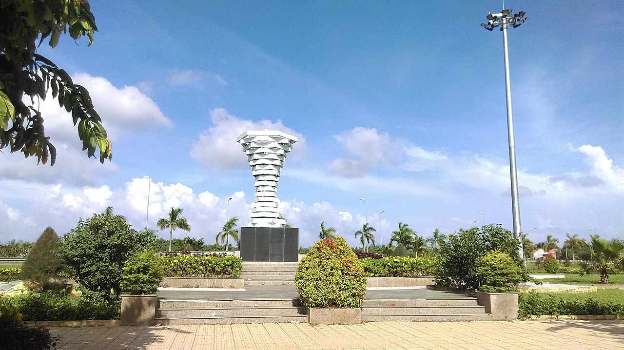
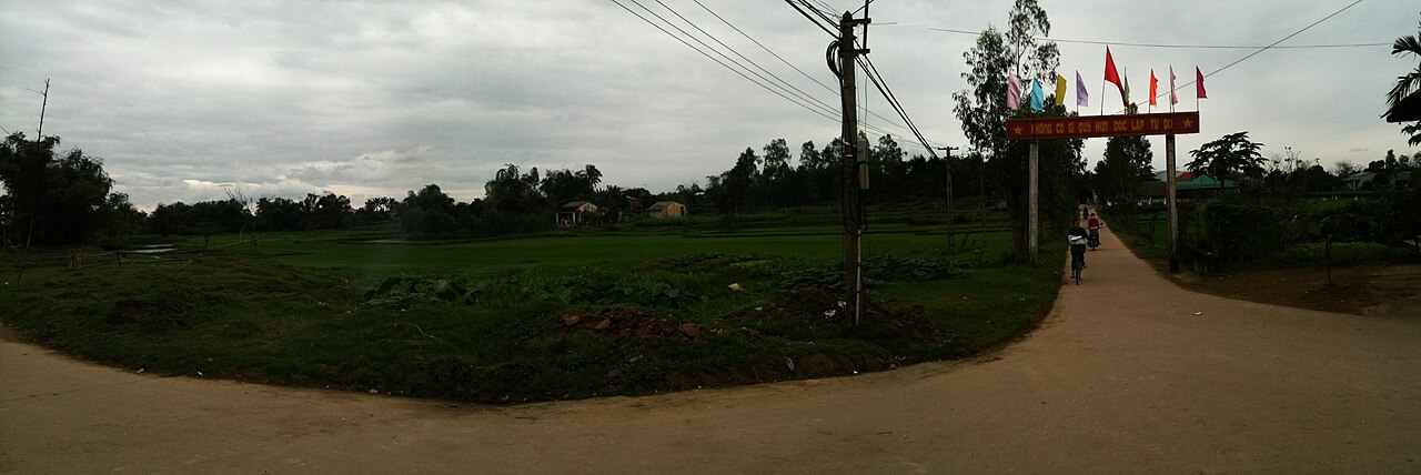
Character and landscape
The territory that formed Quảng Nam stretches from a narrow coastal plain — fringed by barrier islands, river mouths and the Thu Bồn delta — westward into increasingly steep forested highlands along the Trường Sơn range, which forms the border with Laos. The contrast within a single east-west transect is pronounced: beach resorts and a Unesco-listed ancient town sit within an hour's drive of terraced hillside villages inhabited by Cơ Tu and other highland communities.
The Thu Bồn River is a defining feature, draining much of the interior and reaching the sea near Hội An. Its lower course has historically shaped patterns of settlement, trade and flooding. Rice cultivation, fishing and silk weaving (centred on Mã Châu village) have long been economic mainstays alongside tourism.
Principal places of interest
Hội An is the area's most visited destination. Its ancient town, a Unesco World Heritage Site since 1999, preserves a dense streetscape of Chinese merchant houses, Japanese-influenced bridges, Vietnamese tube houses and French colonial buildings dating from the 15th to 19th centuries. The town developed as a major Southeast Asian trading port; Japanese, Chinese, Dutch and Portuguese merchants all left architectural traces.
Mỹ Sơn Sanctuary, roughly 40 km west of Hội An, is a Cham Hindu temple complex active between approximately the 4th and 13th centuries CE. It is the most significant surviving Cham religious site in Vietnam, also listed as a Unesco World Heritage Site. Bombing during the American War damaged many structures, but a substantial group remains standing.
Cù Lao Chàm, an island cluster 15 km offshore from Hội An, holds a marine protected area and is reachable by speedboat. The coastal strip between Đà Nẵng and Hội An — often called the Đà Nẵng–Hội An corridor — contains a concentration of resort developments along Cửa Đại and Mỹ Khê beaches.
Climate and when to visit
The climate follows a pattern broadly typical of south-central Vietnam but with a notable lag relative to the south: the driest and hottest months fall from March through August, with temperatures regularly reaching the mid-thirties at peak. This period offers the most reliable beach conditions but brings intense heat in the interior.
The most significant feature of the climate calendar is a heavy, concentrated wet season from September through December. October and November are particularly wet, with rainfall in those months substantially exceeding that of any other period; flooding in the Thu Bồn delta around Hội An is a recurring event during this window and has on occasion caused significant inundation of the ancient town's lower streets. January and February are cooler and relatively dry, representing the shoulder season most comfortable for sightseeing on foot.
Typhoons occasionally affect the coast between July and November, with the peak risk concentrated in October. Conditions can shift rapidly during this period.
Getting there and around
Đà Nẵng International Airport, now administratively within the enlarged Đà Nẵng province, is the principal air gateway for the entire area. It receives domestic flights from Hà Nội and Hồ Chí Minh City as well as a growing number of international routes. Đà Nẵng city is roughly 30 km north of Hội An by road.
The North–South Railway runs through the coastal corridor; Đà Nẵng station is the nearest mainline stop. Road access from both north and south is via National Highway 1 and the parallel expressway. Hội An itself has no railway station.
Within the former Quảng Nam territory, motorbike and bicycle hire are common for short-range travel around Hội An and to Mỹ Sơn. Organised day-boat trips connect Hội An to Cù Lao Chàm. The highland areas are accessible by road but distances are greater and some routes require more time than the map suggests.
Where to stay
Accommodation concentrates in three zones. The ancient town of Hội An and its immediate surrounds offer guesthouses and boutique hotels within walking distance of the heritage core. The coastal strip east of Hội An, along Cửa Đại Beach and An Bàng Beach, holds a range of resort properties oriented toward beach access. A third corridor has developed between Đà Nẵng and Hội An along the Non Nước and Mỹ Khê stretches, with larger resort complexes catering to package and conference tourism.
Visitors staying in central Hội An are within walking or cycling distance of the ancient town and the river market area. Those based on the coast will generally need transport to reach the heritage sites. There is very limited accommodation near Mỹ Sơn itself; most visitors make a day trip from Hội An.
Common misunderstandings
The administrative merger does not mean Hội An is now part of Đà Nẵng city. Đà Nẵng province now encompasses the territory of both the former Đà Nẵng municipality and the former Quảng Nam province, but Hội An retains its own identity, character and commune-level governance. Treating the two as interchangeable would be inaccurate.
Flooding in Hội An is not rare. The ancient town's position on the Thu Bồn floodplain means that autumn inundation is a recurring historical pattern, not an exceptional event. Photographs of flooded streets circulate regularly after heavy rain in October and November.
Mỹ Sơn requires more than a passing hour. The site covers an extensive area; rushed visits that arrive at midday in peak heat and allow only 45 minutes are a common pattern that leaves many structures unseen. Early morning visits are generally more comfortable and the quality of light is better for the stone carvings.
The Cù Lao Chàm crossing is weather-dependent. Speedboat services to the islands are cancelled during rough sea conditions, which occur more frequently outside the dry season. Advance planning and flexibility are advisable.
Climat par mois
Moyennes à long terme, pas une prévision. Période de référence: 2015–2024. Source: ERA5 reanalysis (Copernicus) via the Open-Meteo archive API.
Show the numbers
| Mois | Température max °C | Min °C | Pluie mm | Jours de pluie | Humidity % |
|---|---|---|---|---|---|
| January | 24.9 | 19.4 | 147 | 20 | 87 |
| February | 26.7 | 19.7 | 88 | 13 | 85 |
| March | 30.8 | 22.1 | 77 | 12 | 82 |
| April | 33.5 | 23.9 | 113 | 14 | 79 |
| May | 34.6 | 25.1 | 169 | 22 | 79 |
| June | 35.5 | 25.9 | 126 | 17 | 73 |
| July | 34.3 | 25.6 | 188 | 19 | 75 |
| August | 34.6 | 25.7 | 168 | 20 | 75 |
| September | 32.2 | 24.4 | 350 | 25 | 83 |
| October | 29.1 | 23.1 | 550 | 26 | 87 |
| November | 27.4 | 22.2 | 471 | 24 | 89 |
| December | 24.6 | 20.2 | 386 | 23 | 89 |
Also known as / see also
Fait désormais partie de
Référencé par
Sources
- ERA5 climate normals — Copernicus / Open-Meteo (CC BY 4.0) consulté 30 August 2026
Supports: monthly temperature and rainfall normals, and elevation - Quang Nam (Q33356) — Wikidata (CC0 1.0) consulté 30 August 2026
Supports: coordinates, area, population - Quang Nam — Wikipedia (CC BY-SA 4.0) consulté 30 August 2026
Supports: background
Current Dernière vérification: 31 August 2026. Rules, fares and prices change — check the official source before acting on anything here. Report a mistake.
Picture credits (4)
Công an Tp Hội An, Quảng Nam, Linhcandng ( thảo luận ), CC BY-SA 3.0, Wikimedia Commons · Công viên Ái Nghĩa, Đại Lộc, Quảng Nam, Linhcandng ( thảo luận ), CC BY-SA 3.0, Wikimedia Commons · Công viên Điện Bàn, Quảng Nam, Linhcandng ( thảo luận ), CC BY-SA 3.0, Wikimedia Commons · Dien Hoa Field Panorama, Dragfyre, CC BY-SA 3.0, Wikimedia Commons