The place itself has not changed, and this page continues to cover it.
National Assembly Resolution 202/2025/QH15 on the rearrangement of provincial-level administrative units
Administrative status
Quang Binh existed as a provincial-level administrative unit until 30 June 2025. On 1 July 2025, as part of a nationwide restructuring that reduced Vietnam's provinces from 63 to 34, the area was merged into Quang Tri. The district tier was abolished at the same time, leaving a two-tier system of province and commune.
Nothing physical changed: the towns, roads, caves and national park are in the same locations they have always been. Maps and signs may still carry the Quang Binh name for some time, and many businesses and transport operators will continue to use it informally. Travellers researching the area will encounter both the old and new administrative names depending on the age of the source they are reading.
Geography and landscape
The territory runs roughly 160 km along the north-central coast, pinched between the Truong Son mountain range to the west and the South China Sea to the east. At its narrowest, near Dong Hoi, the coastal plain is only a few kilometres wide before the limestone hills begin. The average elevation across the province is around 684 m when the upland areas are included.
The karst geology of the interior is the defining physical feature. The Phong Nha-Ke Bang massif, a UNESCO World Heritage Site, contains one of the world's most extensive cave systems. Son Doong cave, discovered by a local man named Ho Khanh and surveyed by the British Cave Research Association in 2009, has a main passage large enough to contain a 40-storey building. The Chay River runs through much of the park, accessible by boat from the Son and Phong Nha river entrances.
The coast offers long sandy beaches, particularly around Nhat Le near Dong Hoi, though these are far less visited than the cave systems.
Climate and when to visit
The climate follows a pattern common to north-central Vietnam but with some local intensity. Winters (December to February) are cool and wet by Vietnamese standards, with temperatures falling noticeably at night. Spring (March to May) brings a gradual warming and relatively moderate rainfall, making it generally the most comfortable period for cave trekking and outdoor activity.
June sees a dip in rainfall, but July and August bring heavy downpours, with July in particular recording high monthly totals. September and October are the wettest months by a significant margin, when typhoons and prolonged rain can cause flooding in low-lying areas and close cave access entirely. November and December see rainfall easing but remaining substantial.
The cave operators impose their own seasonal access rules independent of official closures: Son Doong tours, which are heavily restricted and require advance booking, typically run outside the wettest months. Visitors should verify current access conditions directly with licensed operators, as flooding can close passages without warning at any time of year.
Getting there and around
By air: Dong Hoi Airport, the main town of the former province, has domestic connections to Hanoi and Ho Chi Minh City. Flight frequency is modest compared with major hubs, and schedules vary by season.
By train: The North–South railway line passes through Dong Hoi, with connections to Hanoi (approximately 500 km north) and Da Nang and beyond to the south. Sleeper trains are available on longer routes. Dong Hoi station is near the centre of town.
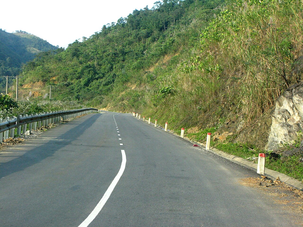
By road: National Highway 1 runs the length of the coastal plain. The Ho Chi Minh Highway (Highway 15) passes through the interior and offers access to the western upland areas. Buses connect Dong Hoi to Hue, Hanoi and other regional cities. The road into Phong Nha-Ke Bang branches inland from Highway 1 and is paved throughout.
Locally: Motorbike hire is widely available in Dong Hoi and in Phong Nha village. Distances within the former province are considerable; the national park entrance is around 50 km from Dong Hoi. Organised tours handle transport for most cave expeditions.
What to see and do
The cave systems of Phong Nha-Ke Bang are the primary draw. Phong Nha cave itself is accessible by boat along the Son River and requires no special permit. Paradise Cave (Thien Duong), one of the longest dry caves in Asia, is reachable on a day trip. Son Doong requires a multi-day expedition with a licensed operator — currently only Oxalis Adventure, under an exclusive concession — with annual places strictly limited and prices accordingly high.
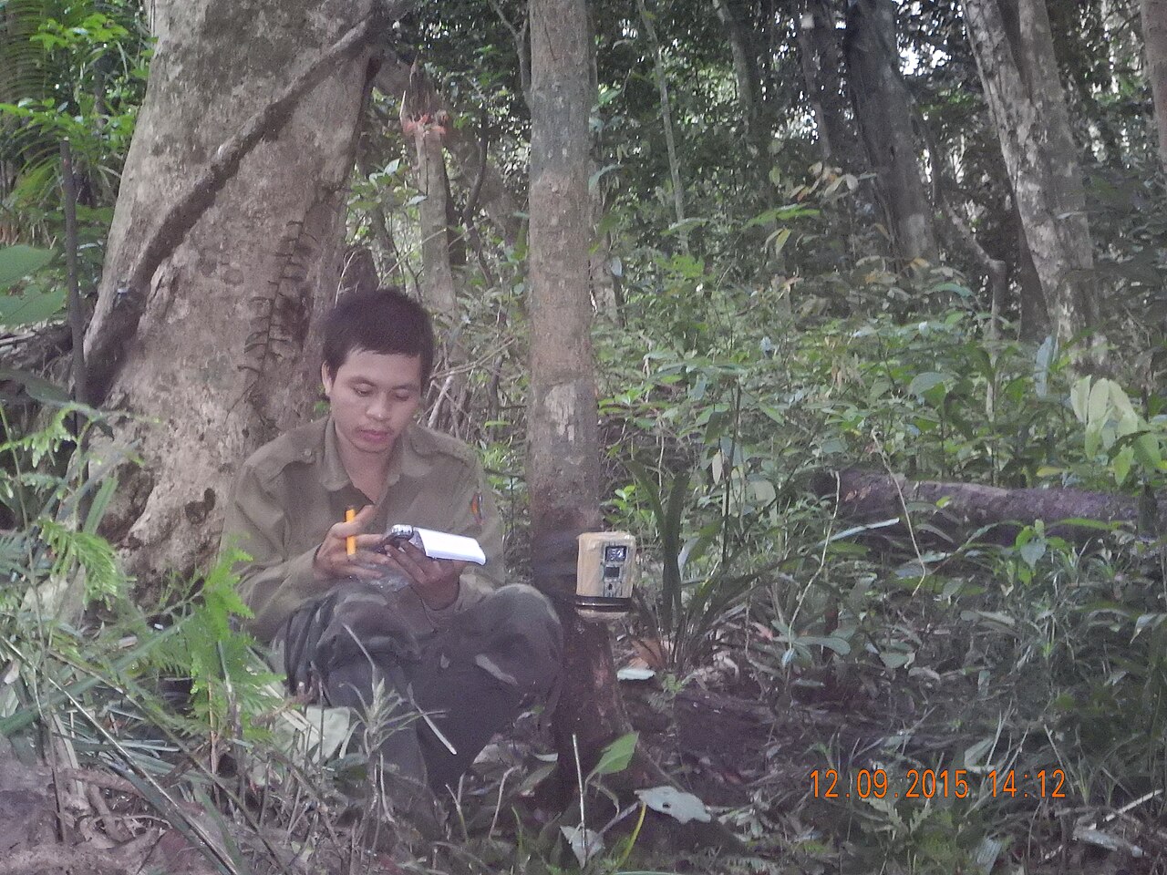
Beyond the caves, the national park offers jungle trekking, river kayaking and wildlife observation, though the forest is dense and wildlife sightings are not guaranteed. The Tu Lan cave system is accessible on separate multi-day tours and attracts those seeking a less commercially crowded experience than Son Doong.
Dong Hoi itself has a reconstructed citadel, a market, and the Nhat Le beachfront. The area saw intense American bombing during the Vietnam War — the town was almost entirely destroyed — and remnants of that period, including the Quang Binh Gate and wartime tunnels, are present throughout the region. The DMZ (Demilitarised Zone), which historically divided North and South Vietnam, runs near the southern border of the former province.
Accommodation
Accommodation concentrates in two places: Dong Hoi, the main urban centre, and Phong Nha village, which sits at the edge of the national park. The two serve different traveller profiles.
Dong Hoi has hotels ranging from budget guesthouses to mid-range business hotels, along with the infrastructure of a functioning city — hospitals, banks, supermarkets. It suits travellers arriving by air or train who plan to make day trips into the park, or those combining a visit with time at the beach.
Phong Nha village has grown substantially since the cave's UNESCO listing and the Son Doong media attention of the 2010s. It now has a range of guesthouses, small hotels and homestays oriented specifically towards cave tourists. Staying here saves travel time on early-morning departures for cave tours but offers fewer urban amenities. Prices vary by season.
Common misunderstandings
Son Doong cannot be visited independently. It requires booking through the licensed operator, usually months in advance, and the number of annual visitors is capped. Many travellers arrive without a booking and are unable to enter. Other caves in the park are accessible without such restrictions.
The administrative merger does not affect access. Addresses, tour operator names and transport routes referencing "Quang Binh" remain valid in practice. The physical places have not moved or changed.
October flooding is serious. The September–October rainfall peak is not merely inconvenient; it can close cave systems entirely and make some roads impassable. Travel insurance that covers weather-related cancellations is worth considering for visits in this window.
The coast and the caves require different base camps. Phong Nha village is inland; Dong Hoi is coastal. Travellers expecting to combine beach time with cave visits in a single day will find distances make this awkward without private transport.
Climat par mois
Moyennes à long terme, pas une prévision. Période de référence: 2015–2024. Source: ERA5 reanalysis (Copernicus) via the Open-Meteo archive API.
Show the numbers
| Mois | Température max °C | Min °C | Pluie mm | Jours de pluie | Humidity % |
|---|---|---|---|---|---|
| January | 18.4 | 13.4 | 139 | 20 | 91 |
| February | 20.2 | 14.2 | 100 | 16 | 89 |
| March | 24.5 | 17.3 | 106 | 17 | 87 |
| April | 27.4 | 19.7 | 107 | 16 | 82 |
| May | 28.9 | 21.9 | 139 | 18 | 80 |
| June | 29.6 | 22.8 | 68 | 11 | 75 |
| July | 28.4 | 22.0 | 218 | 18 | 80 |
| August | 28.1 | 22.0 | 152 | 19 | 81 |
| September | 26.7 | 20.9 | 411 | 23 | 87 |
| October | 23.4 | 18.7 | 695 | 26 | 91 |
| November | 21.5 | 17.1 | 325 | 24 | 92 |
| December | 17.9 | 13.7 | 234 | 21 | 92 |
Also known as / see also
Fait désormais partie de
Référencé par
Sources
- ERA5 climate normals — Copernicus / Open-Meteo (CC BY 4.0) consulté 30 August 2026
Supports: monthly temperature and rainfall normals, and elevation - Quang Binh (Q23533) — Wikidata (CC0 1.0) consulté 30 August 2026
Supports: coordinates, area, population - Quang Binh — Wikipedia (CC BY-SA 4.0) consulté 30 August 2026
Supports: background
Current Dernière vérification: 31 August 2026. Rules, fares and prices change — check the official source before acting on anything here. Report a mistake.
Picture credits (4)
NR12 Minh Hoa, Phó Nháy, Public domain, Wikimedia Commons · Camera trap in Khe Nuoc Trong Quang Binh, Hanghia, CC BY-SA 4.0, Wikimedia Commons · BangSpa1, Genghiskhanviet, Public domain, Wikimedia Commons · BangSpa4, Genghiskhanviet, Public domain, Wikimedia Commons