National Assembly Resolution 202/2025/QH15 on the rearrangement of provincial-level administrative units
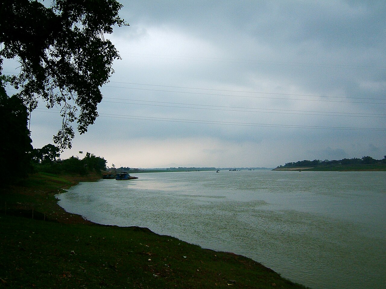
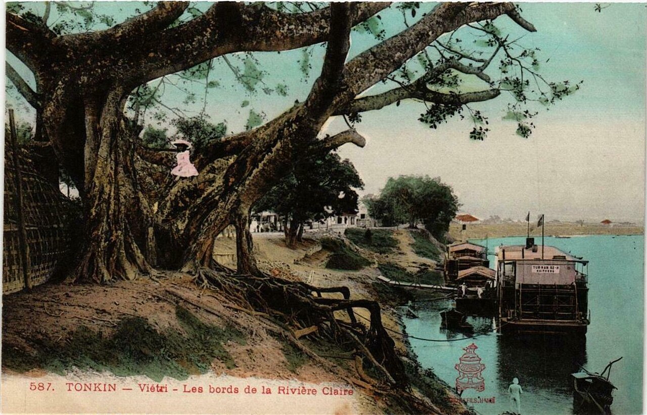
Phu Tho is a northern province centred on the city of Viet Tri, long regarded as the cradle of Vietnamese nationhood. As of 1 July 2025 it absorbed the former provinces of Vinh Phuc and Hoa Binh, creating a large administrative unit that spans the Red River lowlands, the northern midlands and the northwest mountain fringe.
What Phu Tho is known for
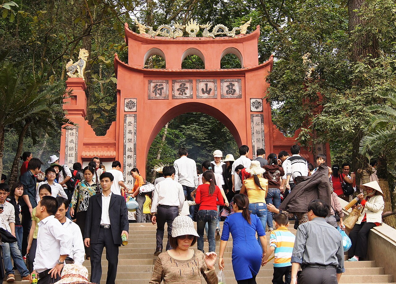
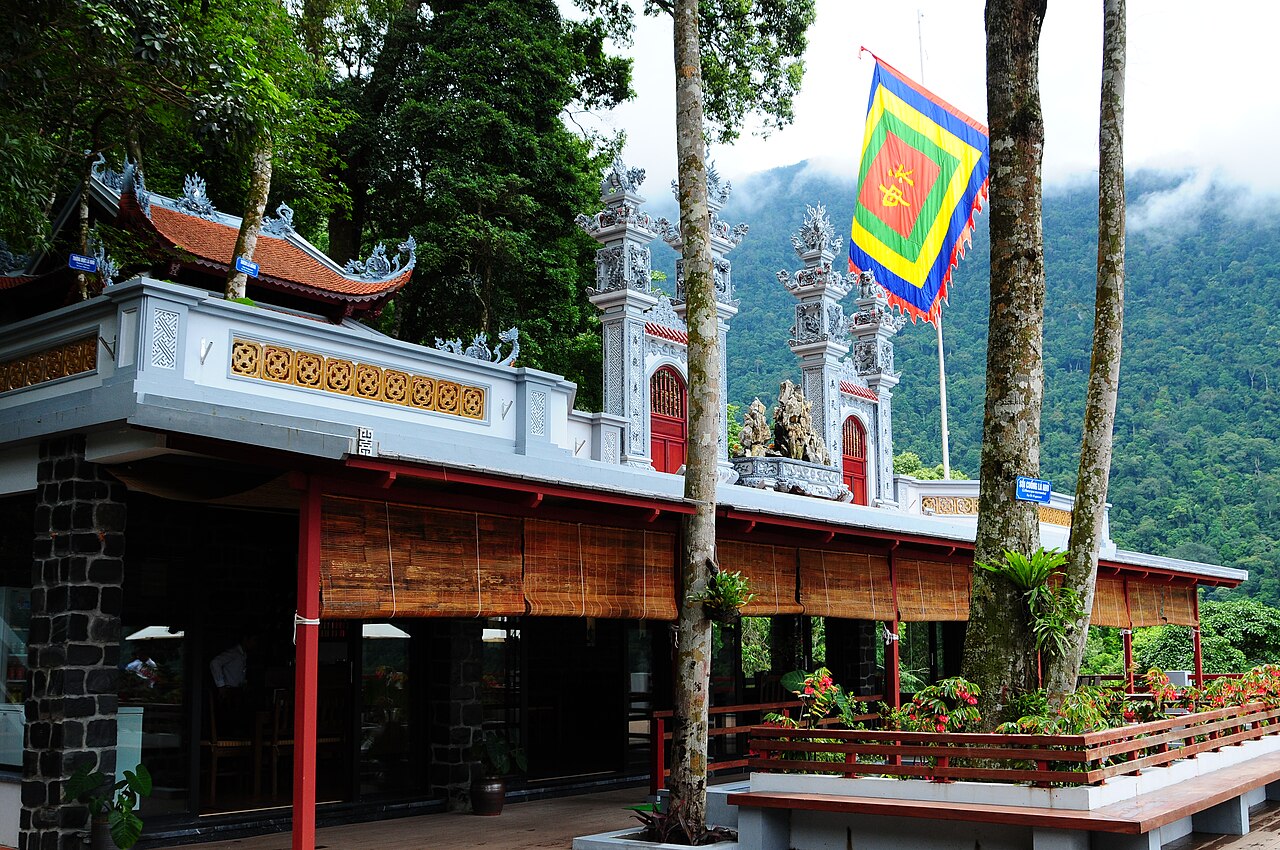
The province's defining landmark is Hung Kings Temple (Đền Hùng) on Nghia Linh Hill, a national pilgrimage site commemorating the semi-mythical founders of the Vietnamese state. The Hung Kings Festival, held on the tenth day of the third lunar month, is among the largest religious gatherings in the country and has been inscribed on UNESCO's Intangible Cultural Heritage list. For many Vietnamese the site carries a significance closer to a founding myth than to ordinary heritage tourism.
Beyond the temples, the province is known for pho chua (sour noodle soup), a regional dish not widely found elsewhere, and for the xoan singing tradition, another UNESCO-listed intangible heritage. The former Hoa Binh territory to the south brings Hoa Binh Reservoir and access to routes toward Pu Luong Nature Reserve and Mai Chau, while the former Vinh Phuc area to the east includes Tam Dao hill station.
Getting there and away
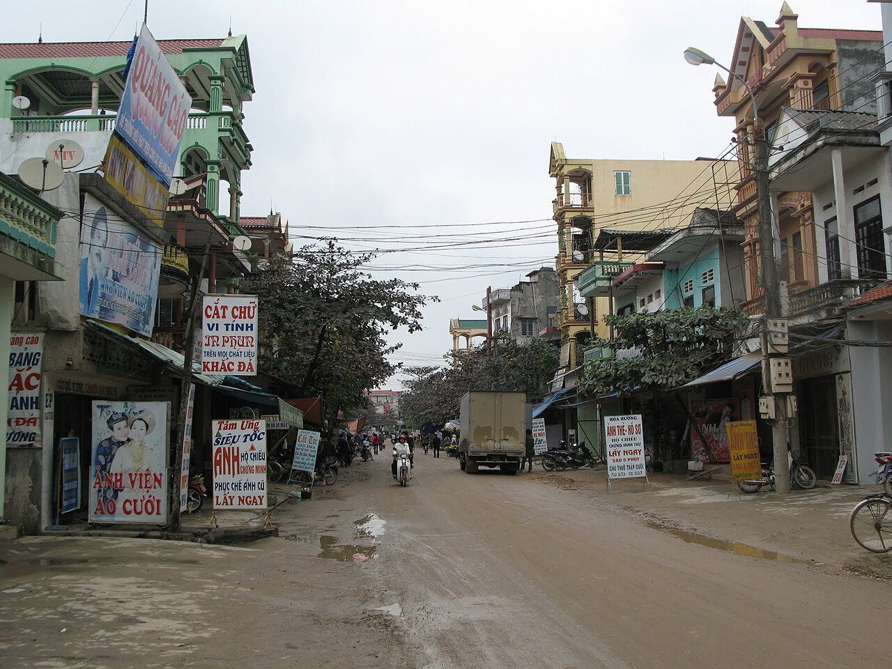
Viet Tri, the provincial capital, sits on National Highway 2 and is the most straightforward entry point from Hanoi. Road connections are well maintained and the drive from Hanoi's western edge is manageable in ordinary traffic. Buses depart regularly from Hanoi's My Dinh and Giap Bat terminals.
There is a rail link between Hanoi and Viet Tri on the Hanoi–Lao Cai line; trains continue north toward Lao Cai province and Tuyen Quang. The fare and schedule depend on class and season, and current timetables should be confirmed directly with Vietnam Railways.
The expanded province is large. Reaching the former Hoa Binh areas in the south and west requires onward road travel from Viet Tri or a separate approach from Hanoi via Highway 6. Distances within the province can be substantial, and mountain roads in the western sections take longer than their kilometre count suggests.
When to go
The province spans different climate zones. The lowland and midland areas around Viet Tri follow a northern pattern: a cool, occasionally misty winter from November to March, a warm and humid spring, a hot and wet summer, and a drier autumn. The mountain terrain absorbed from the former Hoa Binh province is cooler year-round at elevation and receives heavy rainfall during the southwest monsoon, roughly May to September.
The Hung Kings Festival in spring draws enormous crowds to Nghia Linh Hill; accommodation in and around Viet Tri fills well in advance during that period, and road access to the temple complex becomes congested. Visitors who are not attending the festival specifically may find the weeks before or after more comfortable. For the highland sections, the dry season from October to April generally offers better road conditions and clearer visibility. See When to go: weather by region for broader regional guidance.
What there is to see and do
Hung Kings Temple complex occupies three hills and includes lower, middle and upper temples linked by stone steps through forest. The site functions as a working place of worship as well as a heritage site, and behaviour appropriate to a religious location is expected.
Hoa Binh Reservoir, in the province's southern reaches, is one of the largest artificial lakes in Southeast Asia, formed by the dam on the Da River. Boat travel on the reservoir is possible and gives access to Muong and Thai minority villages along its banks that are not reachable by road.
Tam Dao hill station, now within the province's eastern section, sits at around 900 metres and offers cooler temperatures and forest walks. See the dedicated Tam Dao page for detail.
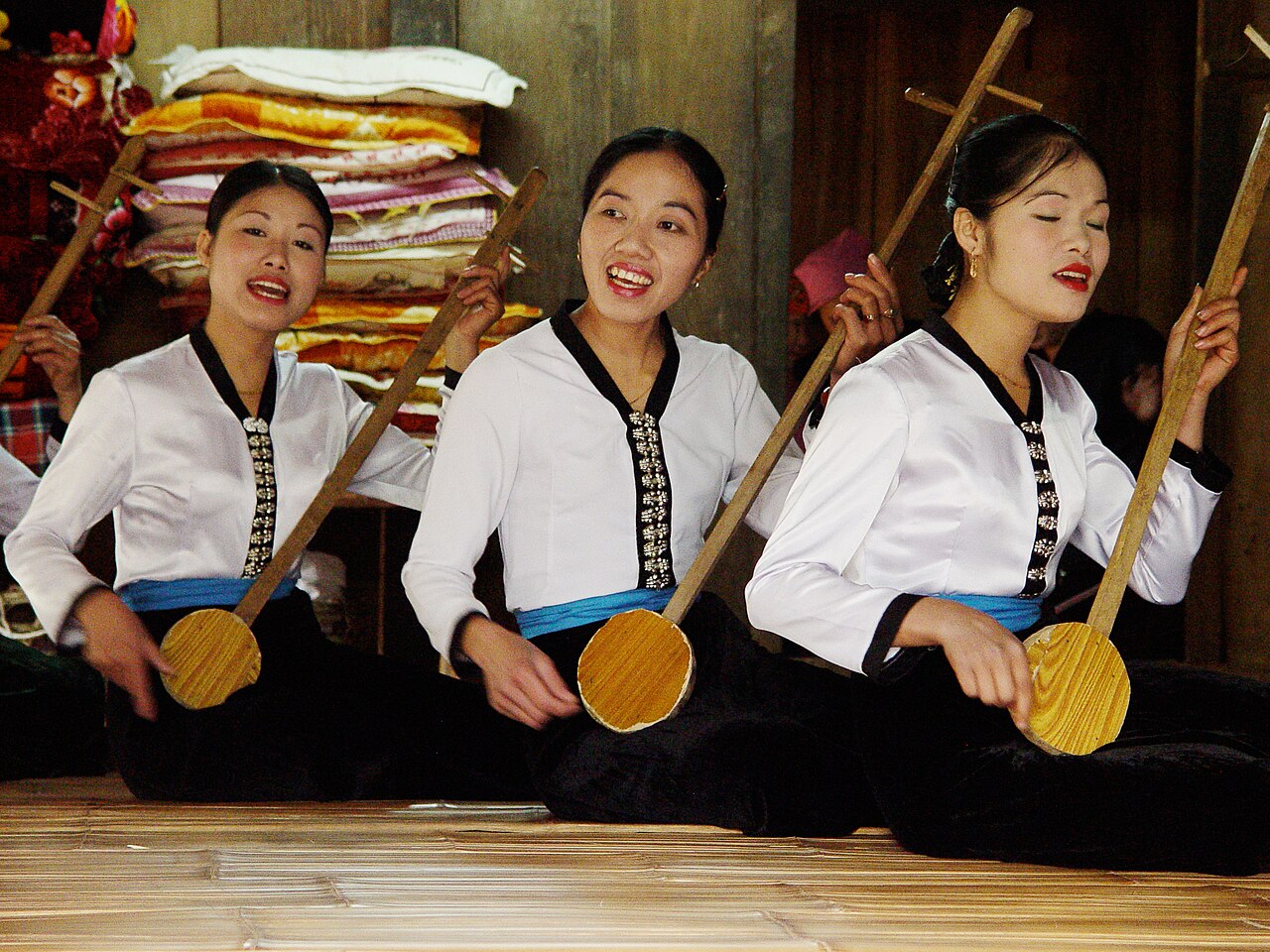
The xoan singing tradition is performed at several communal houses in villages near Viet Tri; performances tied to agricultural festivals are the most authentic context, though staged introductions for visitors also exist.
Where to stay and how areas differ
Viet Tri has the widest range of accommodation and is the logical base for visiting Hung Kings Temple and the surrounding lowland areas. The city itself is an industrial and administrative centre rather than a tourist town, and its guesthouses and hotels are oriented mainly toward domestic business travellers and pilgrims.
The Hoa Binh Reservoir area has guesthouses and homestays in Mai Chau-adjacent valley communities; Mai Chau itself now sits within the same province and offers a more developed homestay infrastructure aimed at visitors wanting hill-culture experiences. Tam Dao has a cluster of hotels and weekend villas that are popular with Hanoi residents. Facilities in the more remote western mountain areas are limited, and supply of accommodation is sparse outside of organised trekking routes.
Common misunderstandings
The province is larger than it appears. Since the 2025 merger, Phu Tho encompasses terrain that previously belonged to two separate provinces. Visitors planning to combine Hung Kings Temple with Hoa Binh Reservoir or Tam Dao in a single short trip should plan carefully: the distances are real, and mountain roads in the west take time.
The Hung Kings Festival date moves each year because it follows the lunar calendar. The tenth day of the third lunar month falls on a different Gregorian date annually; checking the specific year's calendar before planning is necessary.
Population figures available before July 2025 reflect Phu Tho's old boundaries only and do not include the former Vinh Phuc or Hoa Binh populations; any comparative statistics from that period should be read with that in mind.
For practical matters on arrival, see SIM cards and eSIMs, Money, ATMs and cards and Safety and common scams. Entry requirements, including e-visa eligibility, can change; consult the official Vietnamese immigration authority or see Vietnam e-visa for current guidance.
Iklim per bulan
Rata-rata jangka panjang, bukan prakiraan. Periode referensi: 2015–2024. Nguồn: ERA5 reanalysis (Copernicus) via the Open-Meteo archive API.
Show the numbers
| Bulan | Suhu tertinggi °C | Rendah °C | Curah hujan (mm) | Hari hujan | Humidity % |
|---|---|---|---|---|---|
| January | 20.3 | 14.2 | 80 | 11 | 81 |
| February | 21.9 | 15.3 | 50 | 8 | 80 |
| March | 25.6 | 18.9 | 85 | 12 | 83 |
| April | 28.9 | 21.5 | 134 | 12 | 83 |
| May | 31.4 | 24.2 | 260 | 18 | 83 |
| June | 32.9 | 26.0 | 239 | 17 | 81 |
| July | 32.3 | 25.8 | 309 | 20 | 84 |
| August | 31.4 | 25.3 | 443 | 23 | 87 |
| September | 30.2 | 24.3 | 350 | 22 | 87 |
| October | 27.7 | 21.7 | 189 | 14 | 82 |
| November | 25.3 | 19.0 | 72 | 9 | 81 |
| December | 20.6 | 14.3 | 49 | 8 | 77 |
Places within Phu Tho
Where it is
Also known as / see also
Di sekitar
Diserap
Dirujuk oleh
Các nguồn
- ERA5 climate normals — Copernicus / Open-Meteo (CC BY 4.0) đã truy cập 30 August 2026
Supports: monthly temperature and rainfall normals, and elevation - Map data from OpenStreetMap contributors, ODbL 1.0 — OpenStreetMap (ODbL 1.0) đã truy cập 29 August 2026
Supports: carried over from the first build - Phu Tho (Q36610) — Wikidata (CC0 1.0) đã truy cập 30 August 2026
Supports: coordinates, area, population - Phu Tho — Wikipedia (CC BY-SA 4.0) đã truy cập 30 August 2026
Supports: background
Current Terakhir diverifikasi: 29 August 2026. Rules, fares and prices change — check the official source before acting on anything here. Report a mistake.
Picture credits (8)
Song Lo, vi:user:Viethavvh, Public domain, Wikimedia Commons · Trulaco (1), vi:User:Nhâm Tỵ, Public domain, Wikimedia Commons · Đồi chè ở Phú Thọ, Bùi Thụy Đào Nguyên, CC BY-SA 3.0, Wikimedia Commons · Đền Hùng, Hoangvantoanajc, CC BY-SA 3.0, Wikimedia Commons · AoChau8 HaHoa, Bùi Thế Tâm, CC BY-SA 3.0, Wikimedia Commons · Traditional-Music,-Mai-Chau,-Vietnam, Steven C. Price, CC BY-SA 4.0, Wikimedia Commons · Nguyen Tam, CC BY-SA 3.0, Wikimedia Commons · Vietri - Les bords de la Rivière Claire, vi:User:Hungvuongking, Public domain, Wikimedia Commons