Overview and location
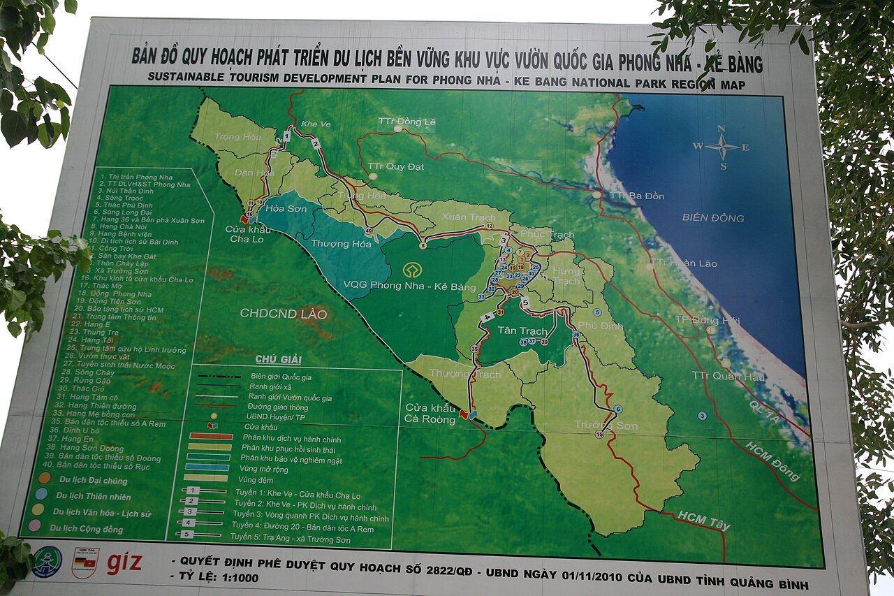
Phong Nha-Kẻ Bàng National Park sits on the border of what is now Quảng Bình territory in the north-central region, following Vietnam's administrative reorganisation of 1 July 2025, which merged provincial units across the country into 34 provinces. The park was inscribed as a UNESCO World Heritage Site in 2003, extended in 2015, and covers roughly 123,000 hectares of karst limestone that began forming some 400 million years ago — among the oldest karst landscapes on Earth. The cave network beneath it runs for hundreds of kilometres and continues to be mapped. The nearest city with regular transport connections is Đồng Hới, roughly 50 km to the east.
The caves: accessible versus expedition
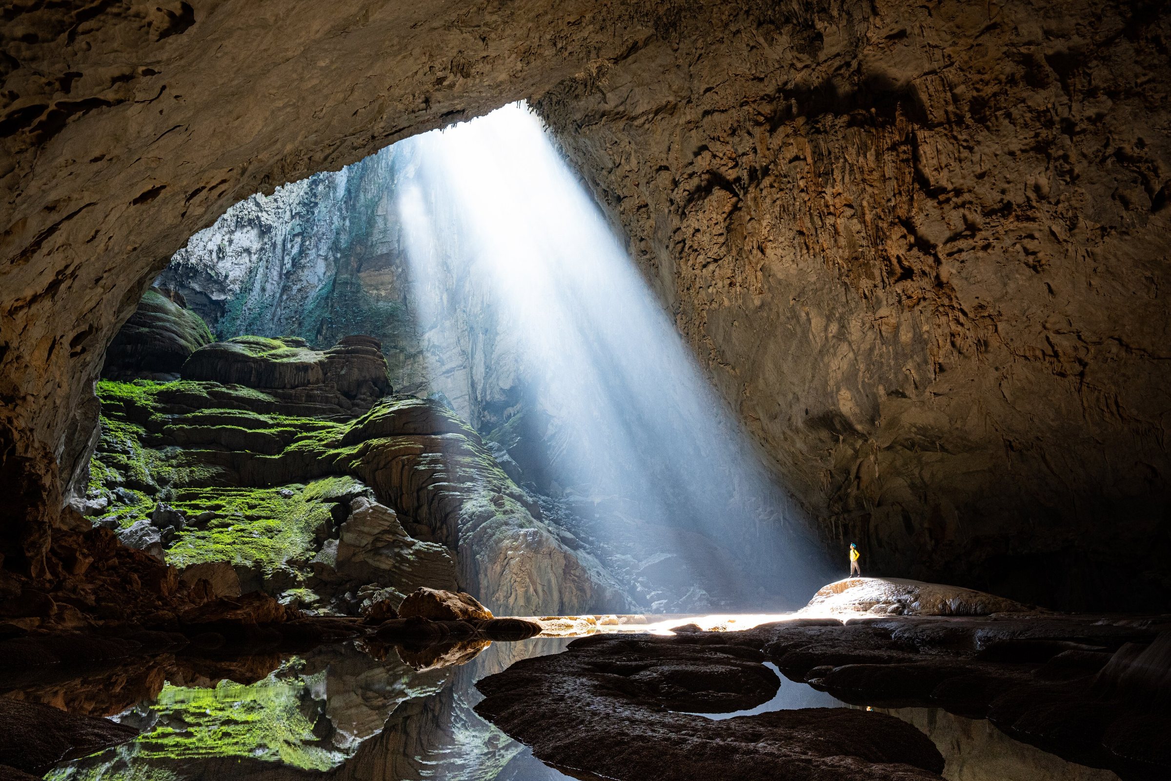
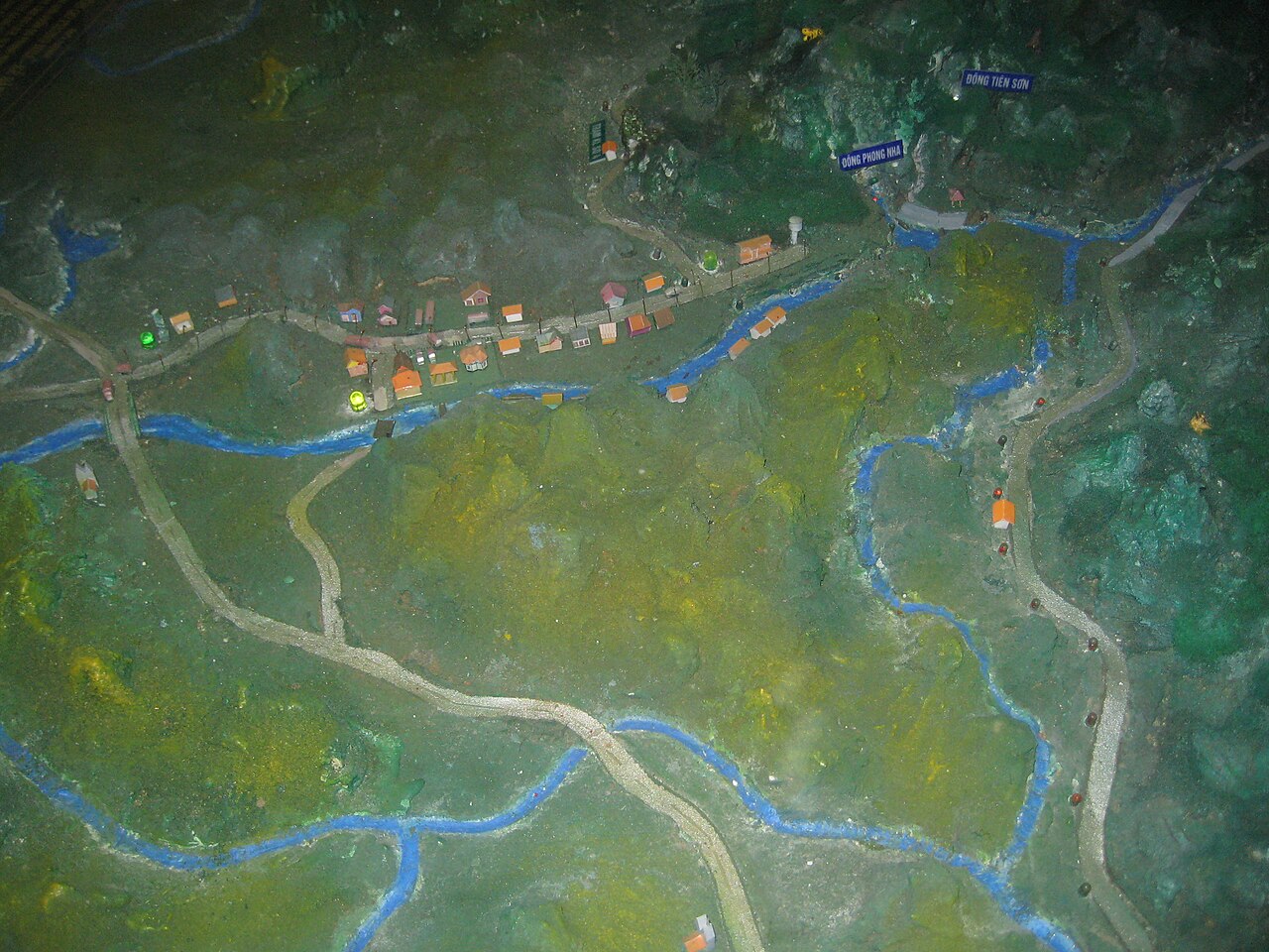
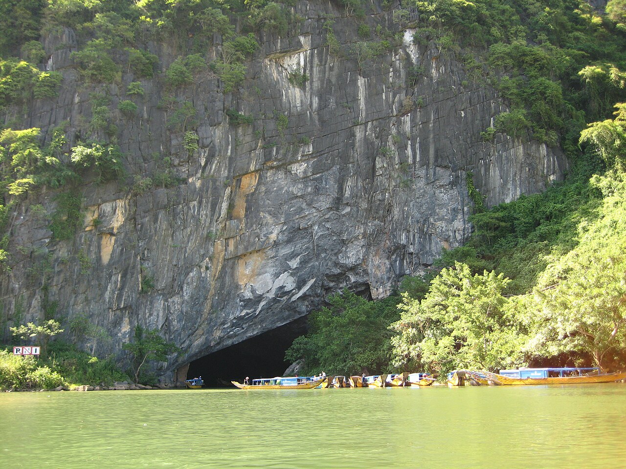
Visitors can enter several caves without specialist permits or multi-day commitments. Phong Nha Cave is reached by boat along the Sơn river and is one of the park's oldest tourist sites; it contains a series of large chambers with stalactites and has been visited since the early twentieth century. Paradise Cave (Tiên Sơn) extends for roughly 31 km and is considered one of the most visually striking accessible caves; a boardwalk takes visitors through around 1 km of the main gallery. Dark Cave (Hang Tối) offers zip-lining, kayaking and mud bathing alongside the cave itself, making it a more activity-focused option.
Expedition caves are a separate category entirely. Son Doong — discovered in 1991 by a local man, Hồ Khanh, and explored by the British Cave Research Association in 2009 — is the world's largest cave by volume, with passages large enough to contain city blocks. Hang Én, a two-day trek, is the third-largest cave by cross-section. Both are operated exclusively by Oxalis Adventure, the single licensed operator for these routes. Permits are strictly limited: Son Doong takes a small number of groups per season, and places sell out many months in advance. Hang En has more capacity but still requires advance booking. Prices vary by season and tour type.
Climate and when to visit
The park's climate follows a pattern that divides the year into a drier, warmer first half and a dramatically wetter second half. From late winter through spring, conditions are cool to mild and rainfall is moderate, making for comfortable trekking. June and July see a brief relative dry spell within what is otherwise the warm season. The situation changes sharply in September, October and November, when the park receives the bulk of its annual rainfall — October in particular is extraordinarily wet — driven by typhoons and the north-central coastal weather pattern.
This flood risk is not merely an inconvenience: rising water makes many cave systems inaccessible and dangerous, and the park authorities close specific caves accordingly, typically from around September through January. The official recommended window for cave visits is February to August. Son Doong tours run only in the dry season, roughly February to May. See When to go: weather by region for context across Vietnam.
Getting there
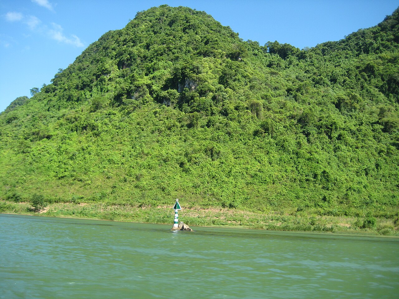
Đồng Hới is the main gateway. The city has an airport with domestic connections to Hanoi and Ho Chi Minh City, and lies on the north–south railway line. From Đồng Hới, the park entrance at the village of Sơn Trạch takes around an hour by road. Motorbike hire, private car hire and minibus transfers are all available from Đồng Hới; the road runs inland through flat farmland before entering the limestone hills.
Travellers coming from Huế to the south can reach Đồng Hới by train or road in a few hours. Those arriving from the north may pass through Ninh Bình before continuing south. There is no significant public transport directly into the park itself, so onward travel from Đồng Hới requires a private arrangement or a tour transfer.
Bồng Lai valley and the surrounding area
Beyond the caves, the Bồng Lai valley (sometimes marketed under the name Phong Nha Farmstay valley) runs west of the park entrance village. The valley floor holds rice paddies, limestone outcrops and a scatter of small farms, and is accessible by bicycle or motorbike on quiet lanes. Several guesthouses and farm-stay operations have established themselves here, offering a less structured alternative to cave-focused itineraries. The landscape at this elevation — around the 690 m mark in the higher park zones — gives way quickly to dense jungle once the road climbs.
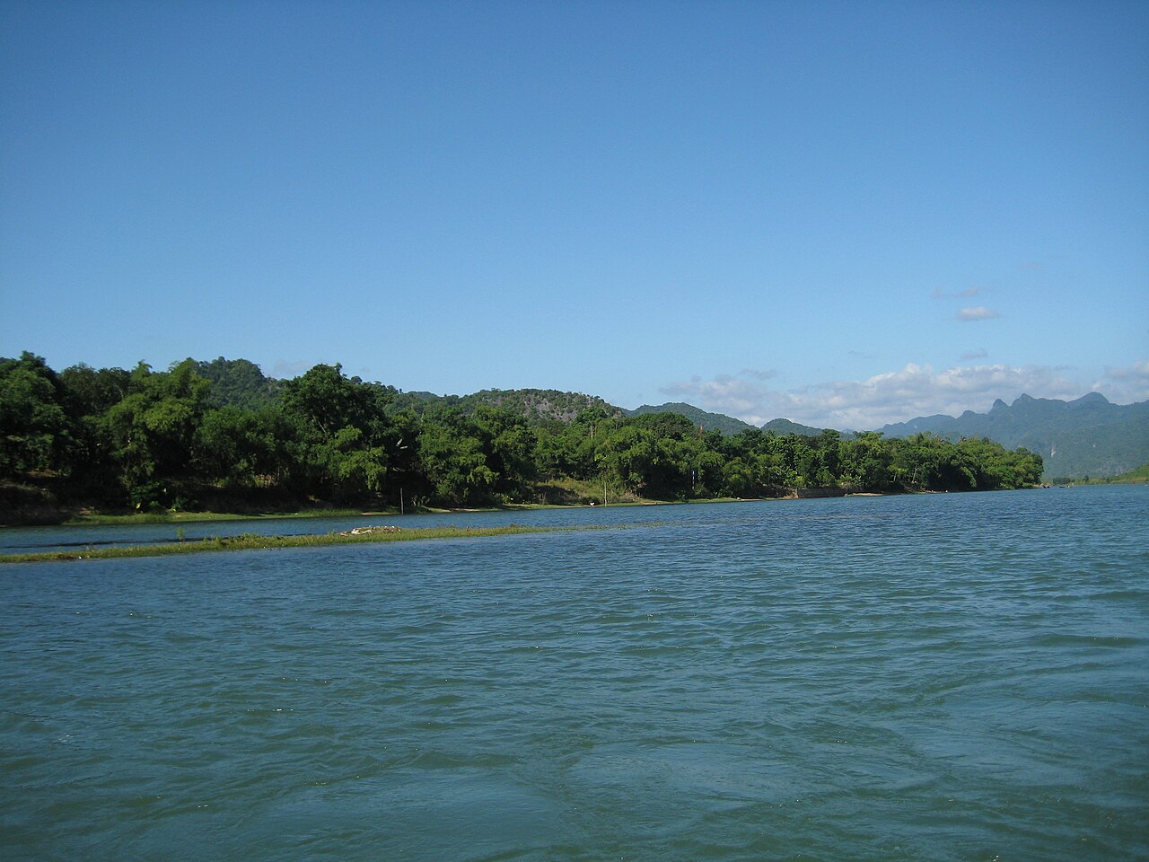
The Sơn river itself offers kayaking and boat trips independent of the cave routes, and the area around Sơn Trạch village has a concentration of accommodation and restaurants serving as the main base for most visitors.
Practicalities
Most visitors stay in or near Sơn Trạch village. ATM coverage in the village is limited compared with Đồng Hới, and connectivity can be patchy inside the park; see Money, ATMs and cards and SIM cards and eSIMs for advice. Entrance fees for individual caves are charged separately at the park gates; prices vary by season. Expedition cave bookings for Son Doong and Hang Én require payment well in advance and are made directly through Oxalis.
Foreign nationals require a valid Vietnam e-visa or other entry document; see Vietnam e-visa. Standard travel cautions apply: the cave environments are humid, slippery and involve significant walking; tour operators provide equipment for expedition routes. See Safety and common scams for general guidance. Nearby coastal towns such as Đồng Hới and Hà Tĩnh can serve as bases for those combining the park with wider north-central travel.
월별 기후
장기 평균값이며 예보가 아닙니다. 기준 기간: 2015–2024. 출처: ERA5 reanalysis (Copernicus) via the Open-Meteo archive API.
Show the numbers
| 월 | 최고 기온 °C | 최저 기온(°C) | 강수량(mm) | 강수일수 | Humidity % |
|---|---|---|---|---|---|
| January | 18.3 | 13.2 | 137 | 20 | 92 |
| February | 20.2 | 14.1 | 104 | 17 | 89 |
| March | 24.7 | 17.4 | 110 | 16 | 87 |
| April | 27.4 | 20.0 | 101 | 15 | 81 |
| May | 28.7 | 22.0 | 135 | 18 | 81 |
| June | 29.1 | 22.8 | 61 | 11 | 77 |
| July | 27.9 | 22.1 | 234 | 18 | 82 |
| August | 27.6 | 22.0 | 147 | 18 | 83 |
| September | 26.6 | 21.1 | 374 | 22 | 88 |
| October | 23.3 | 18.8 | 593 | 26 | 91 |
| November | 21.4 | 17.1 | 291 | 24 | 92 |
| December | 17.7 | 13.6 | 208 | 21 | 91 |
Practical notes
Where it is
Also known as / see also
주변
참조 페이지
출처 목록
- ERA5 climate normals — Copernicus / Open-Meteo (CC BY 4.0) 접근됨 30 August 2026
Supports: monthly temperature and rainfall normals, and elevation - Vietnam National Authority of Tourism — VNAT 접근됨 29 August 2026
Supports: the rules and definitions on this page - Phong Nha–Kẻ Bàng National Park — Wikipedia (CC BY-SA 4.0) 접근됨 31 August 2026
Supports: background - Thằn lằn Phong Nha-Kẻ Bàng — Wikipedia (Vietnamese) (CC BY-SA 4.0) 접근됨 31 August 2026
Supports: background, Vietnamese edition
Current 마지막 확인: 31 August 2026. Rules, fares and prices change — check the official source before acting on anything here. Report a mistake.
Picture credits (6)
A Beam Through the Darkness, Trantuanviet, CC BY-SA 4.0, Wikimedia Commons · Ban do Phong Nha-Ke Bang, Viethavvh at Vietnamese Wikipedia, Public domain, Wikimedia Commons · Phongnhakebang.15, Genghiskhanviet, Public domain, Wikimedia Commons · Phongnhakebang1, Genghiskhanviet, Public domain, Wikimedia Commons · Phongnhakebang11, Genghiskhanviet, Public domain, Wikimedia Commons · Phongnhakebang2, Genghiskhanviet, Public domain, Wikimedia Commons