The place itself has not changed, and this page continues to cover it.
National Assembly Resolution 202/2025/QH15 on the rearrangement of provincial-level administrative units
Administrative status
Ninh Thuan was a province of Vietnam from its modern establishment until 30 June 2025, when it was merged into Khanh Hoa as part of a nationwide reorganisation that reduced Vietnam's provincial-level units from 63 to 34 and abolished the district tier entirely. The area is now governed from Khanh Hoa, operating under a two-tier province-and-commune system.
The merger is administrative only. Phan Rang–Tháp Chàm, the main urban centre, retains its name and character. The Cham monuments, coastal fishing villages, sand dunes, and vineyards that define the area have not moved or changed. Travellers and researchers will still encounter the name Ninh Thuan widely used in local signage, business names, and conversation.
Geography and character
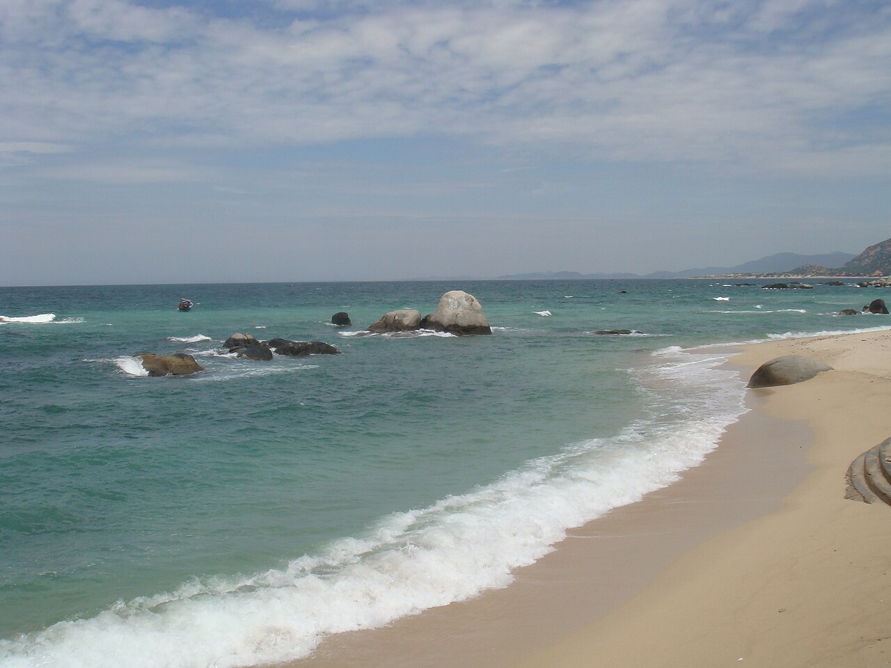
Ninh Thuan occupies a narrow coastal plain backed by the southern reaches of the Truong Son range, which intercepts rainfall from the west and creates a pronounced rain shadow. The result is Vietnam's driest corner: a landscape of red and white sand dunes, semi-arid scrub, and saltpans that looks markedly different from the lush green expected elsewhere in the country.
The coastline runs roughly north–south, with rocky headlands separating sheltered bays. Inland, the terrain rises quickly through low hills used for grazing sheep and goats — animals rarely seen elsewhere in Vietnam — and through volcanic soils planted with grape vines. The town of Phan Rang–Tháp Chàm sits at the confluence of the Dinh River and the coast, and functions as the commercial and transport hub for the whole area.
Climate and when to visit
Ninh Thuan's climate is the most arid in Vietnam. The year divides into a long dry season and a relatively brief wet season, with the wettest months falling in September, October, and November, when the area can receive concentrated rainfall from weather systems that track in from the South China Sea. Even at its wettest, total rainfall is low by Vietnamese standards.
From December through August conditions are predominantly dry and sunny, with temperatures climbing through spring into a hot, still period in April and May. June, July, and August bring slightly stronger winds — a benefit for kitesurfers at My Hoa and Ninh Chu beaches — before the brief rainy peak arrives in autumn. The coolest nights occur in December and January, though daytime temperatures remain warm year-round. Visitors seeking calm seas and maximum sunshine typically come between January and August; those sensitive to heat may prefer the shoulder months of February, March, or November.
What the area is known for
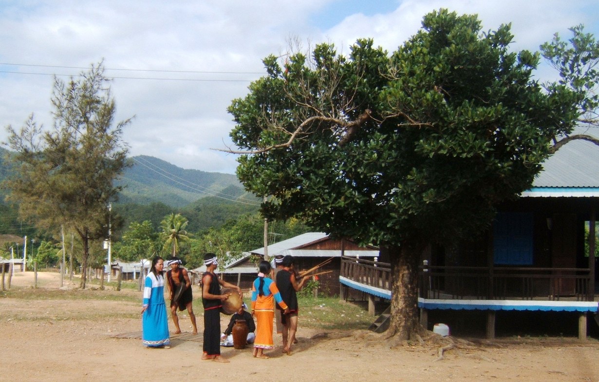
Cham heritage is Ninh Thuan's most distinctive cultural feature. The Cham people, descendants of the Indianised kingdom of Champa, remain a significant community here, and several well-preserved tháp (brick towers) dot the landscape. Po Klong Garai, a group of four towers dating to the late 13th century and attributed to the reign of King Jaya Simhavarman III, stands on a basalt hill above Phan Rang and is among the best-preserved Cham monuments in the country. Po Rome tower, south of the city, is associated with the last king of an independent Cham polity and remains a site of active worship.
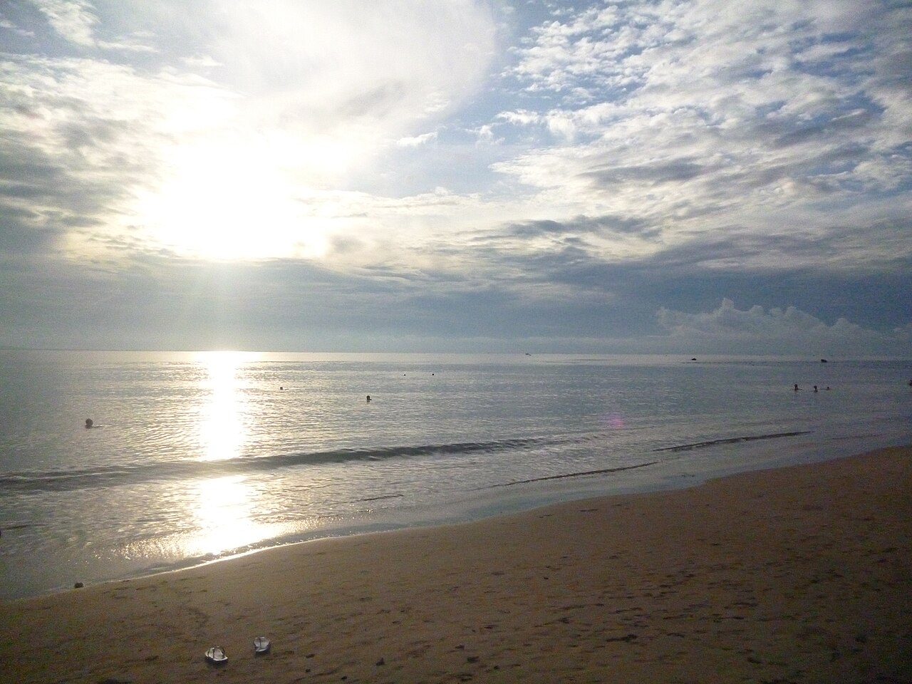
The Ninh Chu coastline and Vinh Hy Bay — located within Nui Chua National Park — offer snorkelling, diving, and boat access to relatively clear water. The national park itself protects dry tropical forest unusual in the Vietnamese context. Inland, the Phan Rang grape-growing area produces table grapes and a modest wine industry; vineyards are open to visitors, particularly during the harvest period around June and July. The expansive sand dunes at Nam Cuong, tinted red by iron-oxide-rich soil, are a recognised landscape feature.
Getting there and around
By rail: Phan Rang–Tháp Chàm sits on the main north–south railway line, and all categories of train between Ho Chi Minh City and Da Nang stop here. Journey times vary considerably by train class and service.
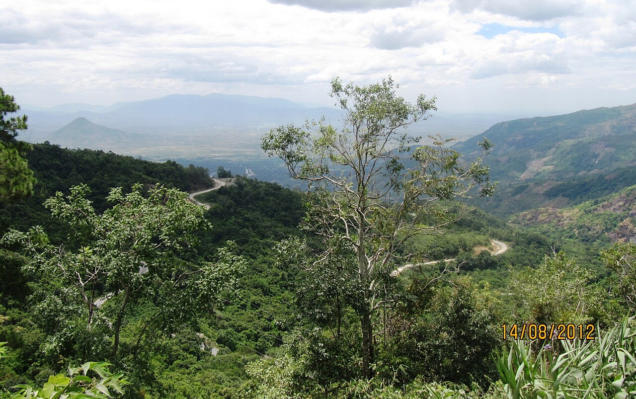
By road: National Route 1 passes through the area, connecting it to Ho Chi Minh City to the south and Da Lat via Route 27 to the west. Open Bus services and private coaches link the town to both cities. The Da Lat road climbs through dramatic scenery as it ascends the Ngoan Muc Pass.
By air: There is no commercial airport within the former Ninh Thuan boundary. The nearest airports are at Cam Ranh (serving Nha Trang, to the north and now in the same Khanh Hoa province) and at Lien Khuong serving Da Lat.
Within the area, motorbike hire is the most practical way to reach outlying sites such as Po Rome, Nam Cuong dunes, and Vinh Hy Bay, as public transport connections to these points are limited.
Where people stay
Accommodation concentrates in two zones. Phan Rang–Tháp Chàm town has a range of guesthouses and mid-range hotels suited to travellers using the rail or road connections; it is the most practical base for visiting the Cham towers. Ninh Chu beach, a few kilometres east of the town centre, carries a cluster of resort-style properties directly on the seafront, oriented towards beach holidays and watersports. Ninh Chu sees a notably different visitor profile from the town: longer stays, families, and domestic tourists on package itineraries.
Vinh Hy, further north along the coast near the national park boundary, has a smaller and quieter selection of accommodation and is preferred by visitors prioritising diving or snorkelling over resort amenities. Options thin out considerably between these nodes, and travellers planning to explore the dunes or inland vineyards typically base themselves in one of these three areas and make day trips.
Common misunderstandings
The dry climate is an asset but also a practical matter. Visitors expecting the tropical lushness of, say, Hoi An or the Mekong Delta are sometimes surprised by the sparse, semi-arid vegetation. Sunburn risk is high and shade limited at outdoor sites such as the dune fields and the Cham towers.
The administrative merger does not affect travel logistics. Phan Rang–Tháp Chàm is not being renamed, and its train station, bus connections, and local infrastructure operate as before. Searching for accommodation or transport under "Ninh Thuan" or "Phan Rang" both remain functional approaches.
Po Klong Garai is an active religious site, not merely a monument. Cham religious festivals — particularly Kate, held on the first day of the seventh month of the Cham calendar (typically falling in October by the Gregorian calendar) — draw large numbers of Cham worshippers, and behaviour appropriate to a working sacred site is expected from visitors.
Prices vary by season, with the beach-resort zone at Ninh Chu commanding higher rates during Vietnamese national holidays and the summer school-holiday period.
Климат по месяцам
Многолетние средние значения, не прогноз. Референсный период: 2015–2024. Источник: ERA5 reanalysis (Copernicus) via the Open-Meteo archive API.
Show the numbers
| Месяц | Макс. °C | Мин. °C | Осадки, мм | Дождливых дней | Humidity % |
|---|---|---|---|---|---|
| January | 27.5 | 17.6 | 30 | 4 | 75 |
| February | 29.0 | 17.4 | 20 | 3 | 72 |
| March | 31.3 | 18.5 | 29 | 4 | 71 |
| April | 32.4 | 20.8 | 44 | 9 | 72 |
| May | 32.4 | 22.2 | 130 | 20 | 77 |
| June | 32.1 | 22.1 | 121 | 19 | 76 |
| July | 31.6 | 22.1 | 128 | 22 | 76 |
| August | 32.3 | 22.2 | 143 | 21 | 75 |
| September | 30.1 | 21.4 | 220 | 25 | 83 |
| October | 28.4 | 20.5 | 244 | 23 | 86 |
| November | 28.0 | 19.9 | 150 | 13 | 82 |
| December | 26.9 | 18.9 | 91 | 10 | 78 |
Сейчас входит в состав
Упоминается на страницах
Источники
- ERA5 climate normals — Copernicus / Open-Meteo (CC BY 4.0) просмотрено 30 August 2026
Supports: monthly temperature and rainfall normals, and elevation - Ninh Thuan (Q36903) — Wikidata (CC0 1.0) просмотрено 30 August 2026
Supports: coordinates, area, population - Ninh Thuan — Wikipedia (CC BY-SA 4.0) просмотрено 30 August 2026
Supports: background
Current Последняя проверка: 31 August 2026. Rules, fares and prices change — check the official source before acting on anything here. Report a mistake.
Picture credits (4)
Ca Na beach, Ninh Thuan, Petertan at Vietnamese Wikipedia, Public domain, Wikimedia Commons · Deo Song Pha 1, The original uploader was BacLuong at Vietnamese Wikipedia ., Public domain, Wikimedia Commons · Raglai Dance @MaNoi-NinhThuan-Vietnam, BacLuong at Vietnamese Wikipedia, CC BY-SA 3.0, Wikimedia Commons · Bãi biển Ninh Chữ, Phương Huy at Vietnamese Wikipedia, Public domain, Wikimedia Commons