National Assembly Resolution 202/2025/QH15 on the rearrangement of provincial-level administrative units
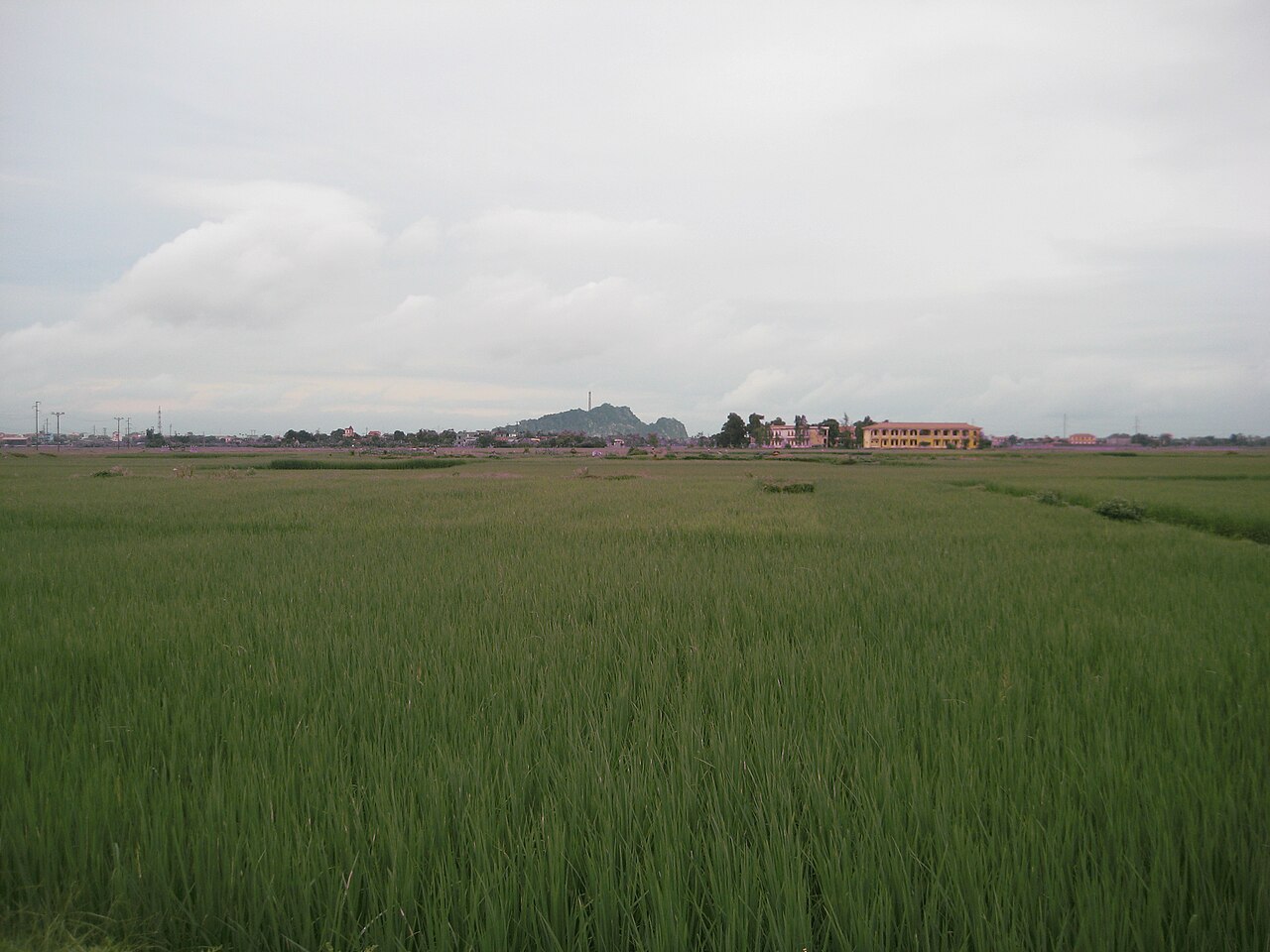
Ninh Binh province sits at the southern edge of the Red River Delta, where the flat agricultural plain meets the first dramatic outcrops of the limestone karst landscape that continues south into Thanh Hoa. As of 1 July 2025, the province was enlarged by merger to absorb the former provinces of Ha Nam and Nam Dinh, forming a significantly larger administrative unit. The provincial capital is Hoa Lu.
What Ninh Binh is known for
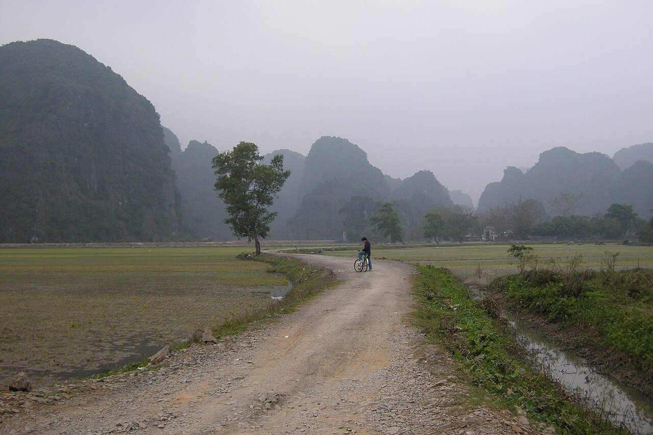
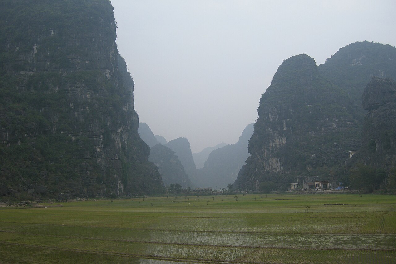
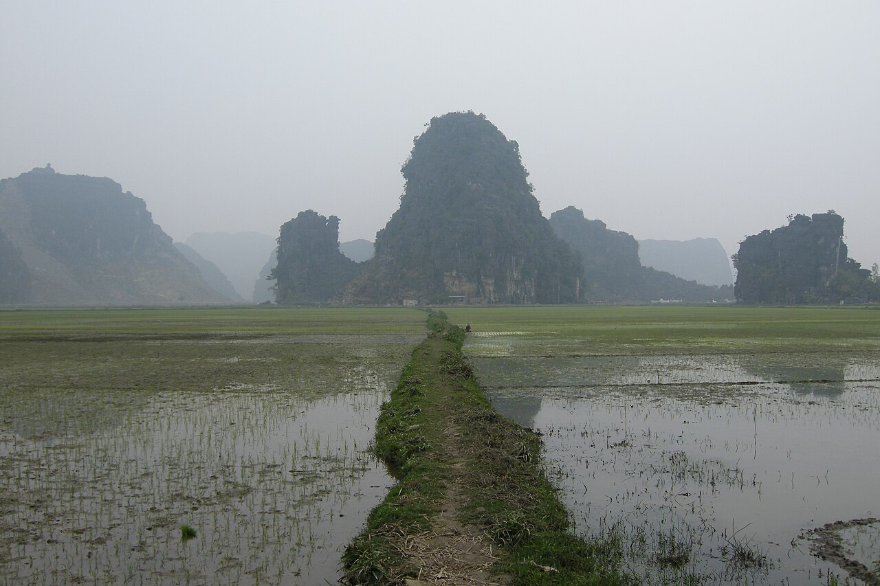
The province is defined by its karst topography: hundreds of limestone peaks, riddled with caves, rising abruptly from flooded rice fields and slow rivers. This landscape, often described as an inland counterpart to Ha Long Bay, is the dominant reason most travellers come here.
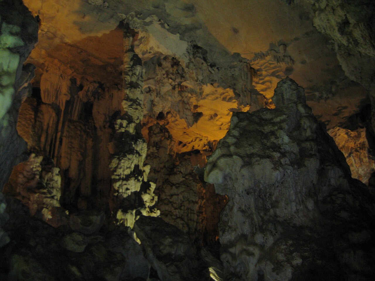
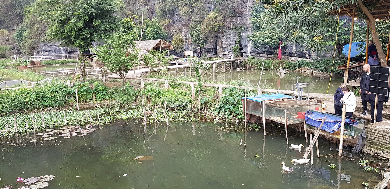
Within that setting, the area is home to several distinct sites. Tam Coc is a river valley where small boats pass through limestone tunnels, surrounded by paddy fields. Trang An is a larger, UNESCO World Heritage-listed complex of interconnected waterways, caves and ancient temples. Bich Dong is a pagoda built across three cave levels in a karst hillside.
The ancient citadel of Hoa Lu served as Vietnam's capital under the Dinh and early Le dynasties in the tenth and eleventh centuries, before the court moved north to what is now Hanoi. Temples to the Dinh and Le kings remain on the site.
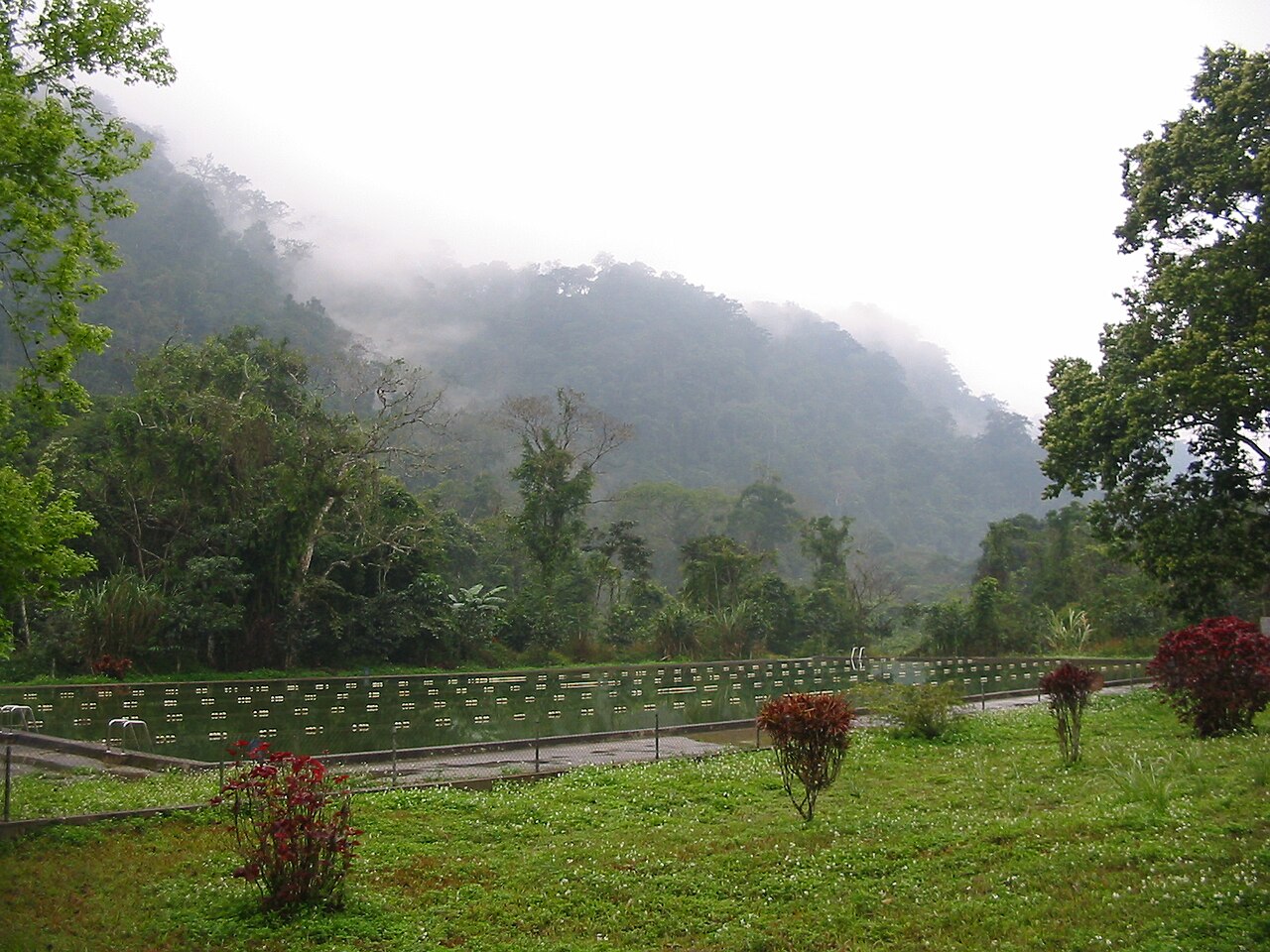
Cuc Phuong National Park, one of Vietnam's oldest and most ecologically significant protected areas, lies within the province's western reaches and supports primate rescue programmes alongside forest hiking.
Administrative context after the 2025 merger
On 1 July 2025, Vietnam reorganised its provincial-level administrative units under a National Assembly resolution. The former provinces of Ha Nam and Nam Dinh were merged into Ninh Binh, creating a substantially enlarged province stretching from the southern fringes of the Red River Delta down to the border with Thanh Hoa. The district tier was simultaneously abolished; administration now operates on two tiers, province and commune or ward directly beneath it.
The population figure recorded before the merger reflects the old Ninh Binh boundaries only, and the question of what the merged province's population count represents is currently unsettled. Visitors should be aware that maps, signage and local references may still reflect the old provincial boundaries for some time after the merger took effect.
Nam Dinh, now part of the same province, is historically significant as a centre of textile production and the site of the Tran dynasty temples at Tran Temple Complex. The former Ha Nam area lies immediately south of Hanoi and contains the Perfume Pagoda pilgrimage site, administratively now within the enlarged Ninh Binh province.
When to go
Ninh Binh has a northern Vietnamese monsoon climate with four loosely defined seasons. The most comfortable period for visiting the karst landscape and outdoor sites is generally from September through November, when the monsoon has eased, humidity drops, and the rice fields around Tam Coc and Trang An reach harvest colour.
Spring, from around February to April, is mild and the rice is young and green, though mist can obscure karst peaks — an atmospheric effect that appeals to some visitors. The Trang An and Bich Dong sites see heavy domestic pilgrimage traffic during the first months of the lunar new year.
Summer, May through August, brings heat, high humidity and the main rainy season. Flooding can affect low-lying river routes at Tam Coc and Trang An, occasionally closing boat services. The upside is that crowds are thinner among international visitors.
Winter, December through January, is cool and can be overcast. It is not cold by northern standards but light clothing is insufficient. See weather by region for a fuller picture.
Getting there and away
The town of Ninh Binh, which sits on the main north–south rail and road axis, is the principal arrival point. It lies roughly 90 kilometres south of Hanoi by road.
By train: Ninh Binh station is served by the Reunification Express trains running between Hanoi and Ho Chi Minh City, as well as regional services. The fare depends on class and season. Journey time from Hanoi is typically under two hours on faster services, though this varies by train.
By road: Buses and minivans connect Ninh Binh with Hanoi's southern bus terminals. The journey on the expressway takes roughly one and a half to two hours depending on traffic and the departure point within Hanoi. Open-tour buses travelling the north–south corridor also stop here.
By private vehicle: Self-drive motorbike travel from Hanoi is common among experienced riders. The route is largely flat and well-surfaced. Motorbike hire is available in Ninh Binh town, but licensing and insurance requirements should be confirmed; see safety and common scams for relevant cautions.
The nearest international airport is Noi Bai in Hanoi. There is no commercial airport within the province.
Where to stay and how areas differ
Accommodation clusters in two main areas: Ninh Binh town itself, and the Tam Coc–Bich Dong village strip several kilometres to the south-west, around the hamlet of Van Lam. The two have different characters.
Ninh Binh town is a functional provincial capital with a full range of services — banks, markets, train and bus connections — but limited scenic appeal. It suits travellers who want logistical convenience or who are passing through.
The Tam Coc area has developed rapidly into a tourist village with guesthouses, small hotels and homestays lining the road to the boat landing. It is closer to the karst scenery and the cycling routes through the paddy fields, but the strip has become heavily commercialised and some visitors find it feels detached from ordinary Vietnamese life.
Trang An and the northern approach offer a quieter base closer to Hoa Lu and the Trang An boat departure points, though accommodation options are fewer.
The former Nam Dinh and Ha Nam areas now within the enlarged province have their own accommodation networks oriented toward domestic visitors rather than international tourism. ATMs and card payments are available in the main town but less reliable in rural commune areas.
Common misunderstandings for first-time visitors
Tam Coc and Trang An are not the same place. They are distinct sites several kilometres apart, each with its own boat system, ticket arrangement and atmosphere. Trang An is the UNESCO-listed complex and generally considered the more extensive of the two; Tam Coc is shorter and more heavily visited. Both involve sitting in a small rowing boat for an hour or more. The Ninh Binh and Tam Coc page covers the distinction in more detail.
The boat operators at Tam Coc frequently row with their feet — a local technique visitors sometimes find unexpected. Tipping practices exist here, though amounts are a matter between visitor and operator.
Cycling the fields is possible but distances are real. The cycling loop around Tam Coc and Bich Dong passes through attractive countryside, but in summer heat and humidity it is more demanding than it looks on a flat map.
Cuc Phuong requires separate planning. Cuc Phuong National Park is roughly 45 kilometres from Ninh Binh town. It is not a half-day addition to a Tam Coc boat trip; overnight stays in the park are possible and advisable for anyone wanting to see the forest properly.
Visa rules change. Entry requirements for Vietnam are set by government decree and shift periodically. The Vietnam e-visa page and official Vietnamese immigration sources are the appropriate references, not this page.
Climate by month
Long-run averages, not a forecast. Reference period: 2015–2024. Source: ERA5 reanalysis (Copernicus) via the Open-Meteo archive API.
Show the numbers
| Month | High °C | Low °C | Rain mm | Rain days | Humidity % |
|---|---|---|---|---|---|
| January | 20.9 | 14.4 | 71 | 12 | 81 |
| February | 22.3 | 15.3 | 44 | 10 | 81 |
| March | 25.7 | 18.9 | 69 | 12 | 85 |
| April | 28.9 | 21.5 | 103 | 11 | 84 |
| May | 31.8 | 24.6 | 198 | 18 | 83 |
| June | 33.7 | 26.4 | 185 | 16 | 79 |
| July | 32.7 | 26.0 | 329 | 20 | 82 |
| August | 31.7 | 25.5 | 357 | 24 | 86 |
| September | 30.3 | 24.4 | 330 | 22 | 87 |
| October | 27.7 | 21.6 | 211 | 16 | 81 |
| November | 25.7 | 19.2 | 77 | 11 | 80 |
| December | 21.3 | 14.7 | 44 | 8 | 75 |
Places within Ninh Binh
 National Park
Cuc Phuong National Park
Vietnam's first national park, primate rescue centre, ancient trees
 Destination
Ninh Binh and Tam Coc
Inland karst landscape, sampan rowing, Trang An and Hoa Lu
 City
City
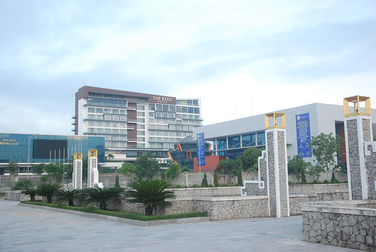
Ninh Bình City
Former provincial capital of Ninh Bình, absorbed into the merged province on 1 July 2025…
Where it is
Also known as / see also
Nearby
Absorbed
Referenced by
Sources
- ERA5 climate normals — Copernicus / Open-Meteo (CC BY 4.0) accessed 30 August 2026
Supports: monthly temperature and rainfall normals, and elevation - Map data from OpenStreetMap contributors, ODbL 1.0 — OpenStreetMap (ODbL 1.0) accessed 29 August 2026
Supports: carried over from the first build - Ninh Binh (Q36900) — Wikidata (CC0 1.0) accessed 30 August 2026
Supports: coordinates, area, population - Ninh Binh — Wikipedia (CC BY-SA 4.0) accessed 30 August 2026
Supports: background
Current Last verified: 29 August 2026. Rules, fares and prices change — check the official source before acting on anything here. Report a mistake.
Picture credits (8)
Dongvantrinh13, Kien1980v ( thảo luận ), Public domain, Wikimedia Commons · Ngọc Mỹ Nhân Mountain 1, Kien1980v at Vietnamese Wikipedia, Public domain, Wikimedia Commons · Vietnam, Ninh Binh, In the wild, Vyacheslav Argenberg, CC BY 4.0, Wikimedia Commons · Vietnam, Ninh Binh, Limestone peaks, Vyacheslav Argenberg, CC BY 4.0, Wikimedia Commons · Vietnam, Ninh Binh, Limestone rocks and wetlands, Vyacheslav Argenberg, CC BY 4.0, Wikimedia Commons · Cuc.Phuong.National.Park, No machine-readable author provided. Ravikiran r assumed (based on copyright claims)., Public domain, Wikimedia Commons · Tam Coc Ninh Binh, Andre Hospers, CC BY 4.0, Wikimedia Commons · Ninh Bình City1, Kien1980v ( thảo luận ) 04:56, ngày 3 tháng 9 năm 2017 (UTC), Public domain, Wikimedia Commons